Road Route to Mansfeld
A road cycling route starting from Mansfeld
A challenging road route with a notable ascent and a distance of 46 km.
Map
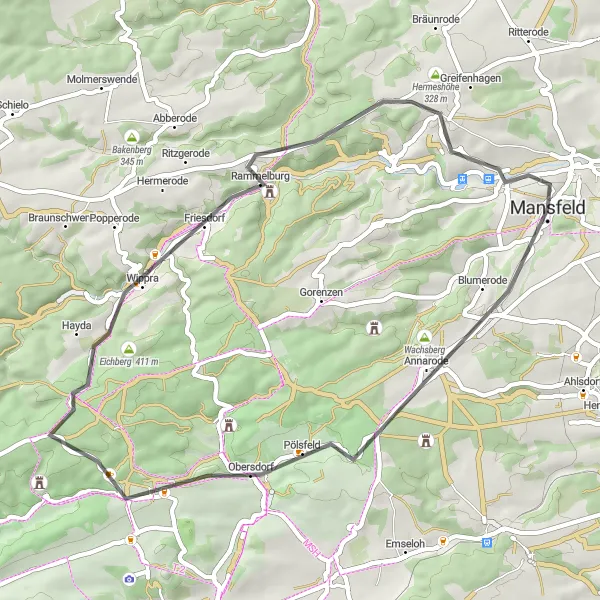
This road route leads cyclists through scenic roads and challenging terrain on the way to Mansfeld. With an ascent of 621 meters and a distance of 46 km, this route is suited for experienced cyclists looking for a tougher challenge. Highlights along the route include Kupferberg, Pölsfeld, Wippra, Schloßberg, and Rabenkuppe, providing stunning views and unique attractions.
road
46 km
621 m
Tough
Route profile
Highlights on the route
0 km
0 km
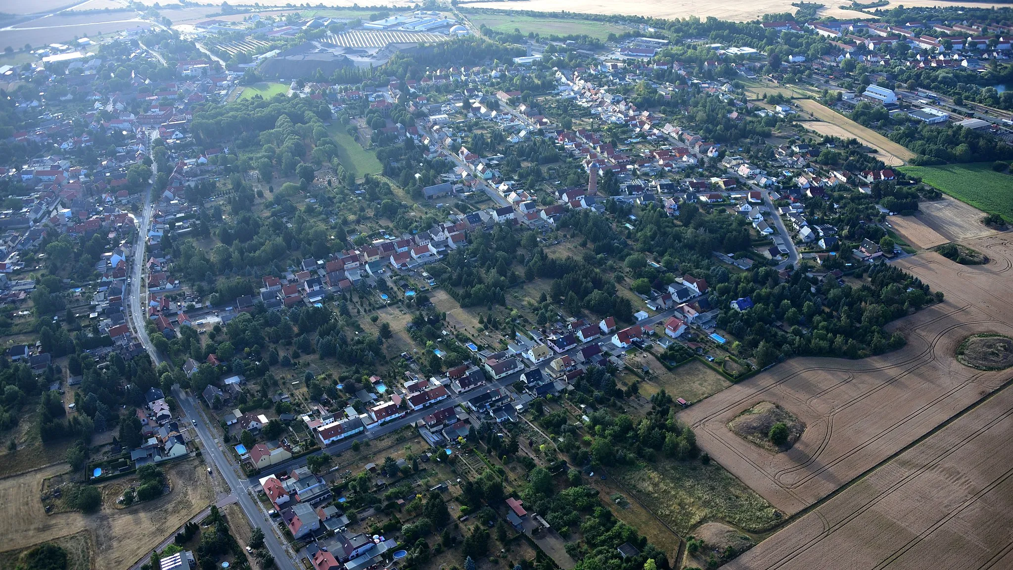
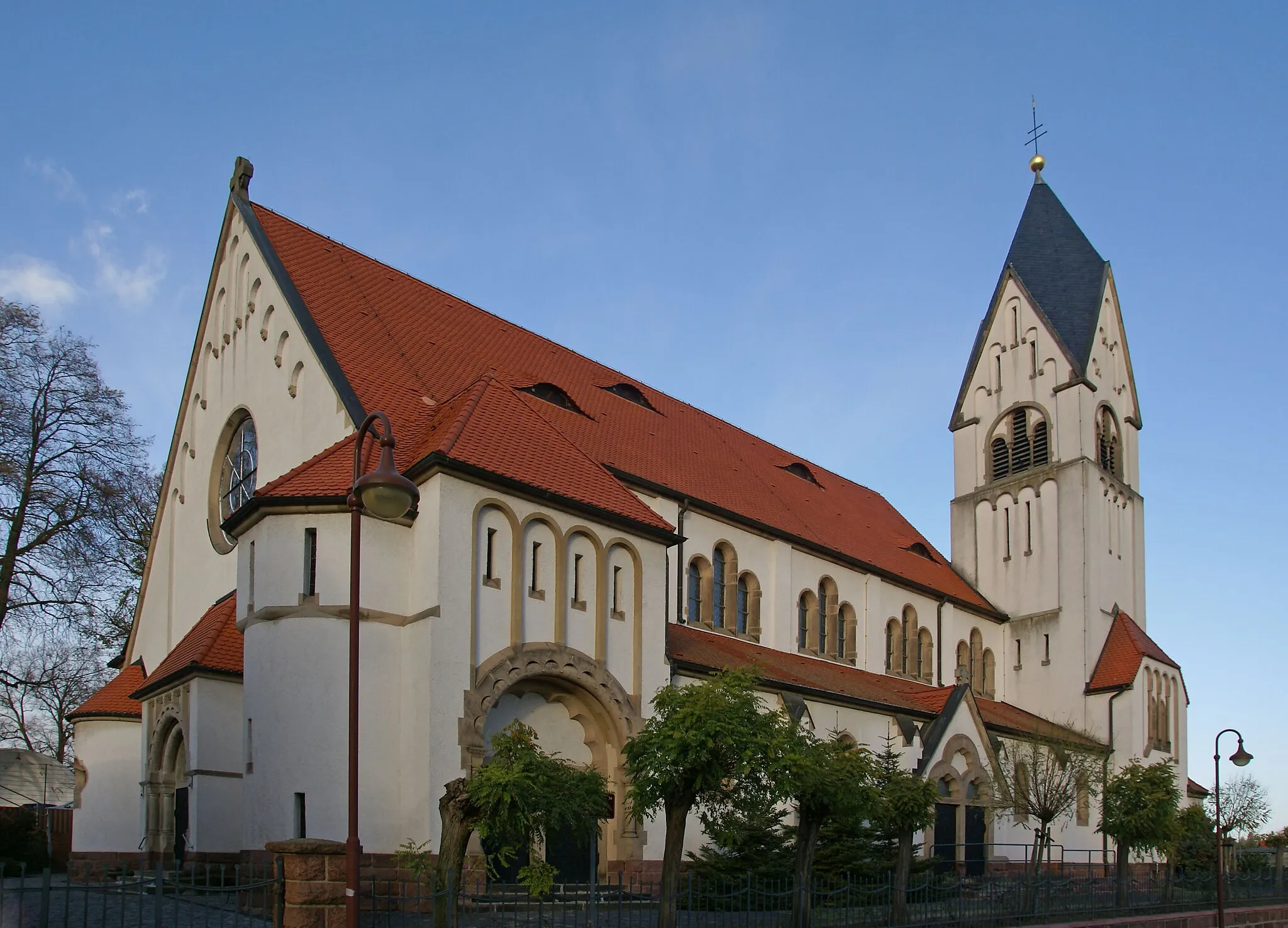
Start: Mansfeld City centerMansfeld: Cycle through history in the picturesque region of Mansfeld
Mansfeld is a historic region in Sachsen-Anhalt, Germany. From a cyclist's perspective, it offers scenic routes through charming villages, rolling hills, and beautiful landscapes. The region has a rich history and cultural heritage, with attractions such as medieval castles and ancient mining sites. For cyclists seeking a challenge, the Harz Mountains are within reach, offering famous mountain passes like the Brocken. Mansfeld combines both cultural experiences and cycling opportunities, making it a great destination for cycling enthusiasts interested in history and nature.11 km
11 km
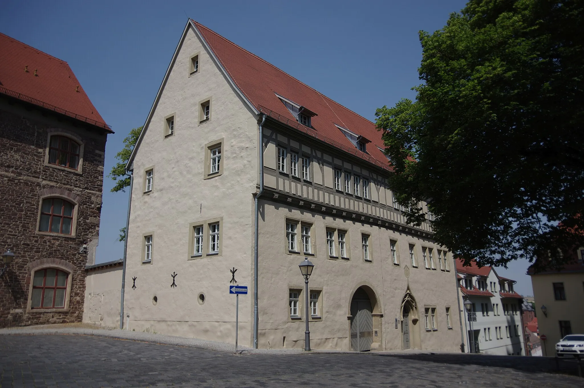
Kupferberg279 mPeakKupferberg is a small village known for its copper mining history and historic buildings.
12 km
12 km
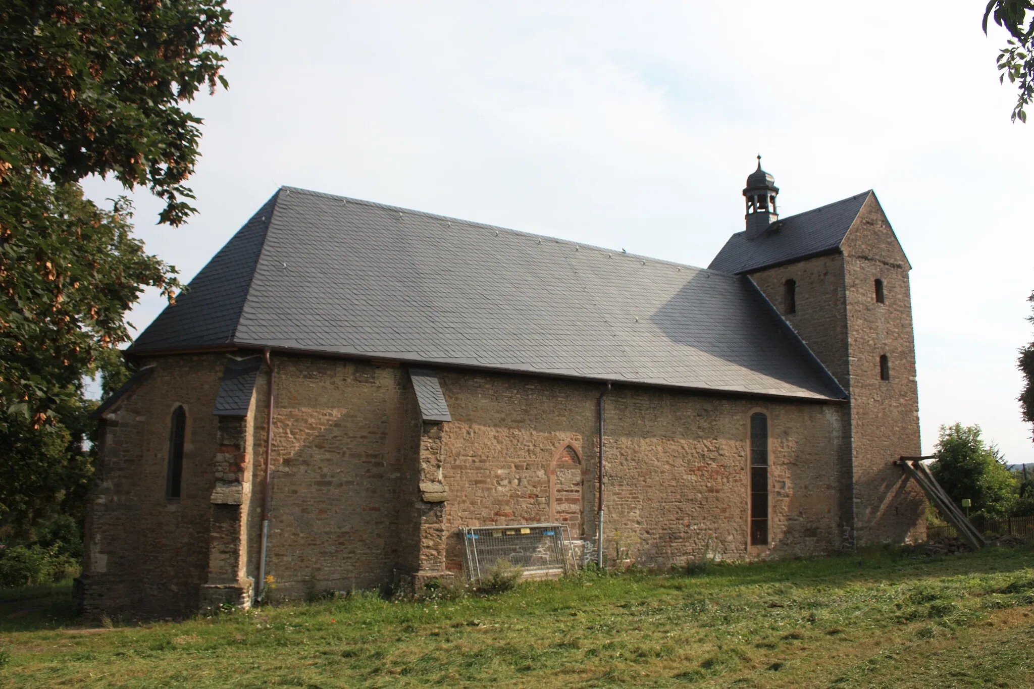
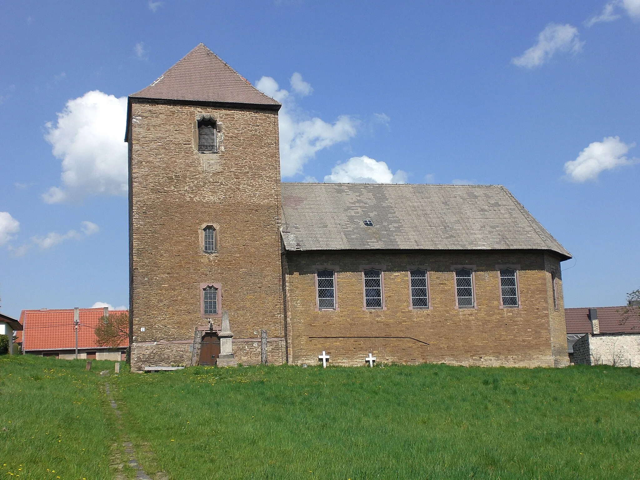
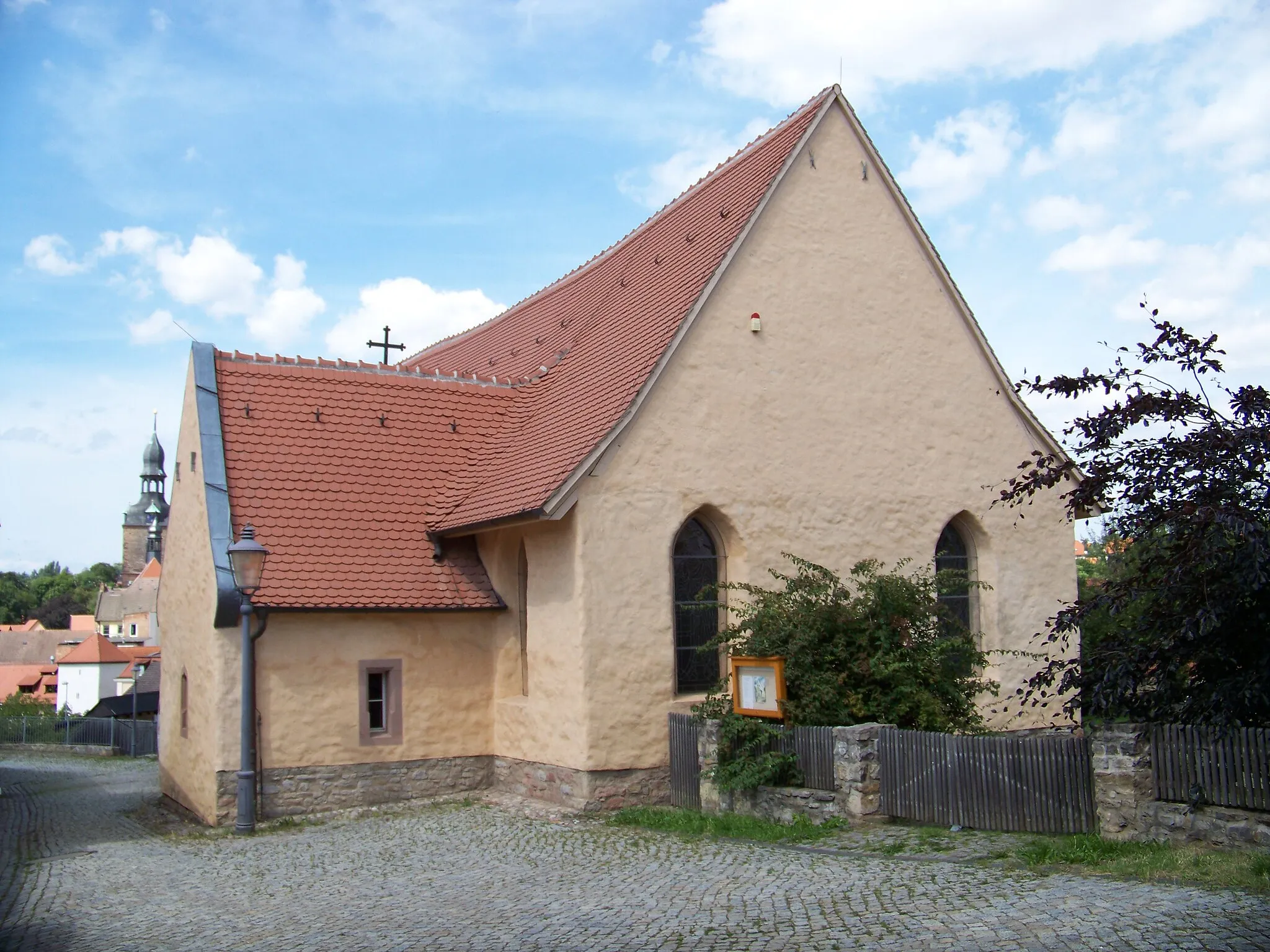
PölsfeldVillagePölsfeld is a picturesque village with a beautiful church and traditional timber-framed houses.
27 km
27 km
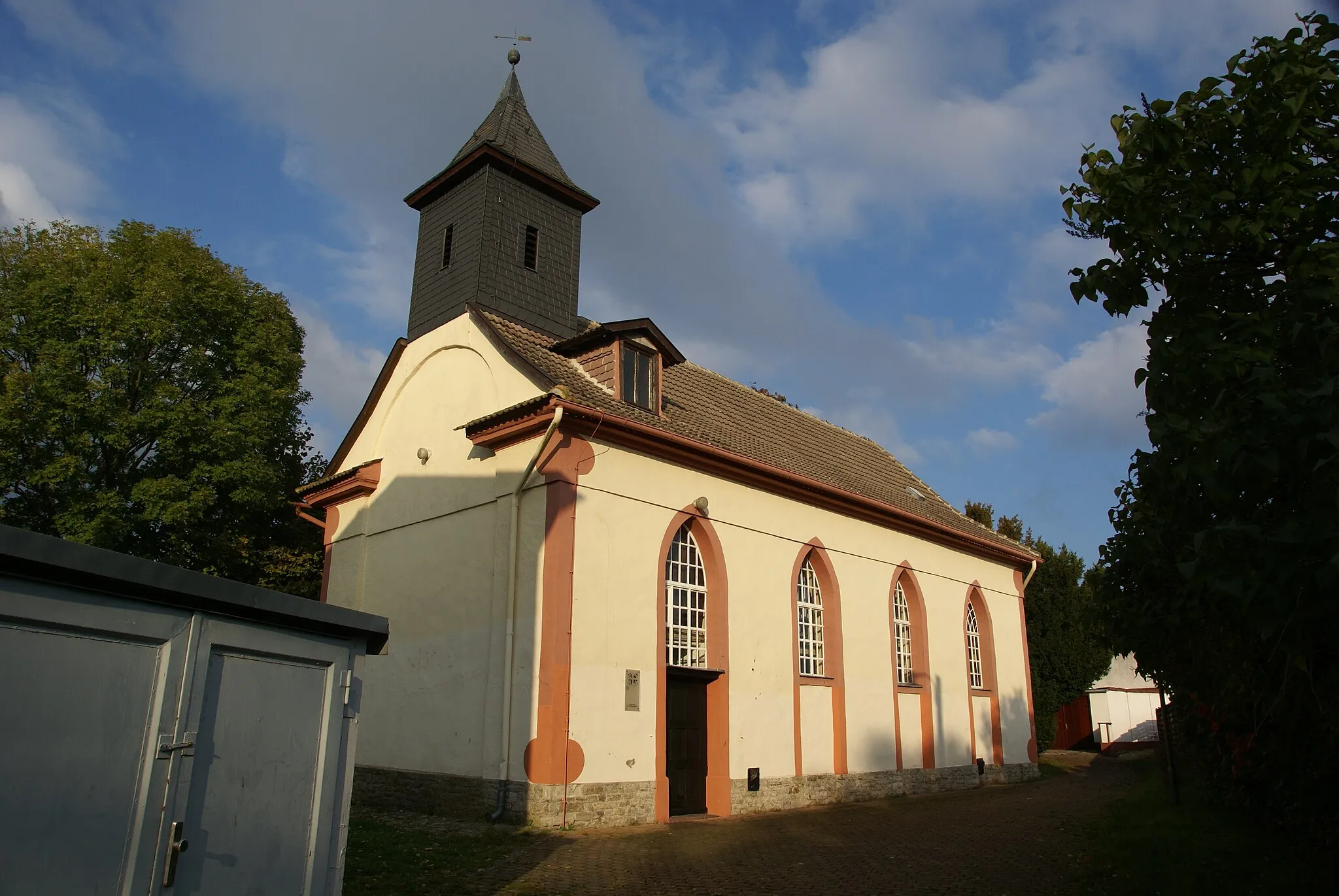
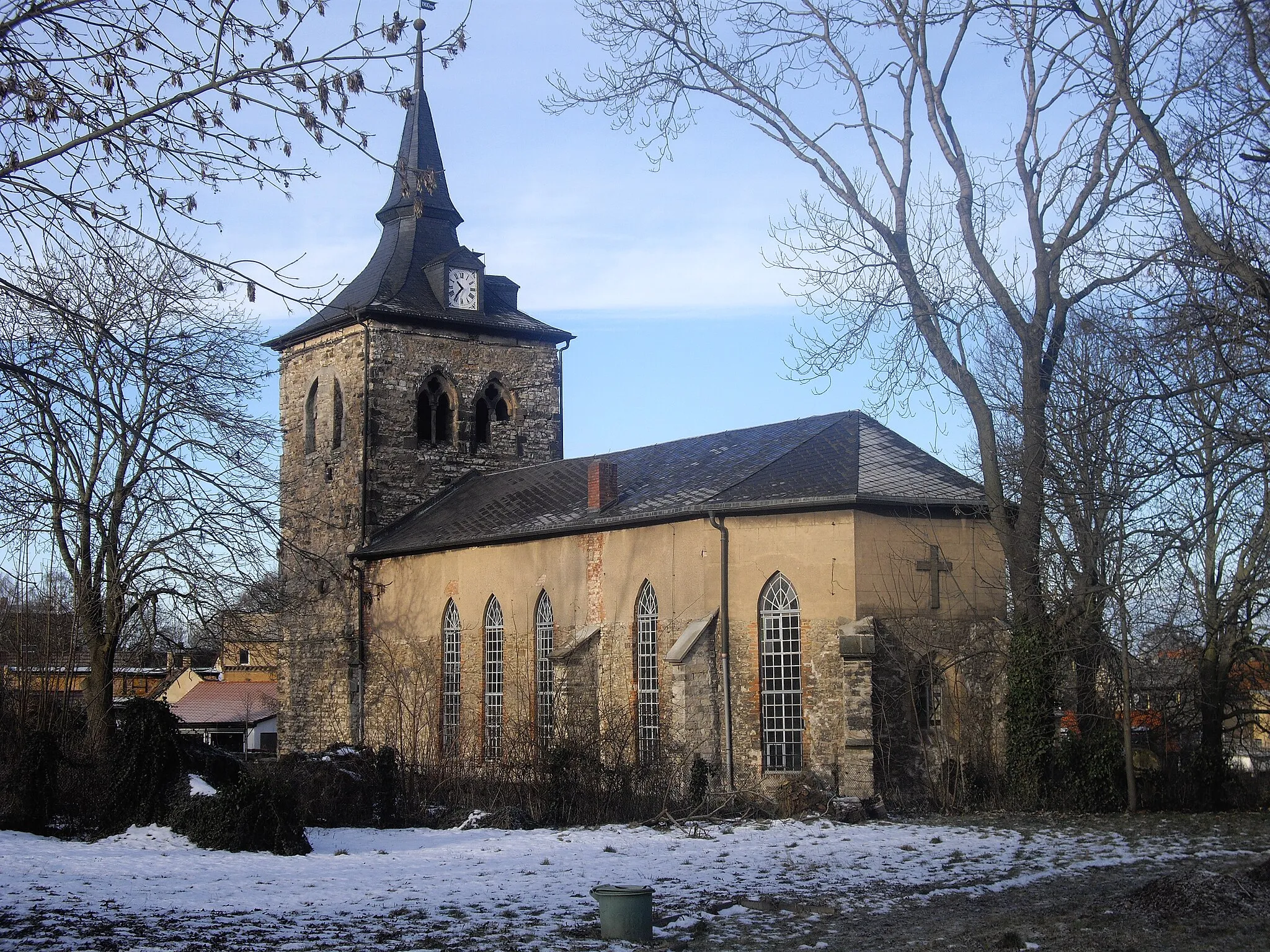
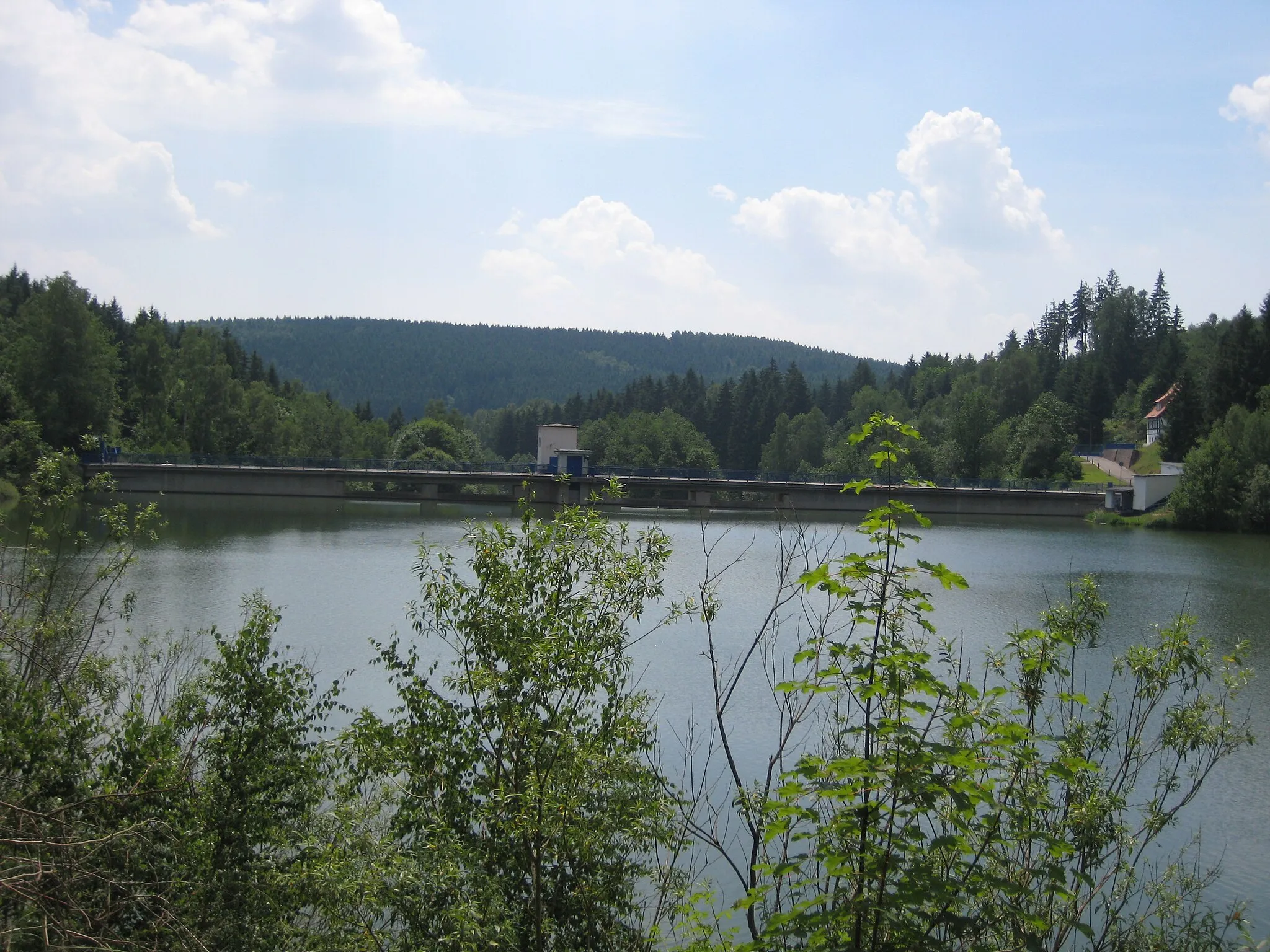
WippraVillageWippra is a popular tourist destination with a historic castle and scenic hiking trails.
28 km
28 km
Schloßberg328 mPeakSchloßberg offers panoramic views over the surrounding countryside from its hilltop castle ruins.
43 km
43 km
Rabenkuppe261 mPeakRabenkuppe is a hilltop lookout point offering breathtaking views of the Mansfeld region.
46 km
46 km
Finish: Mansfeld City centerMansfeld: Cycle through history in the picturesque region of Mansfeld
Cycling routes from Mansfeld:
Cycling routes nearby: