The Green Landscapes of Oberröblingen
A gravel cycling route starting from Oberroeblingen
Discover the natural beauty of Oberröblingen and its surrounding areas on this gravel cycling route.
Map
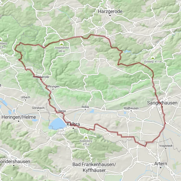
This route takes you through picturesque villages, rolling hills, and dense forests, offering stunning views of the Sachsen-Anhalt countryside. It is a perfect choice for gravel bike enthusiasts who appreciate exploring off-road trails. With a distance of 102 kilometers and an ascent of 1300 meters, this route provides a challenging but rewarding experience.
gravel
102 km
1300 m
Tough
Route profile
Highlights on the route
0 km
0 km
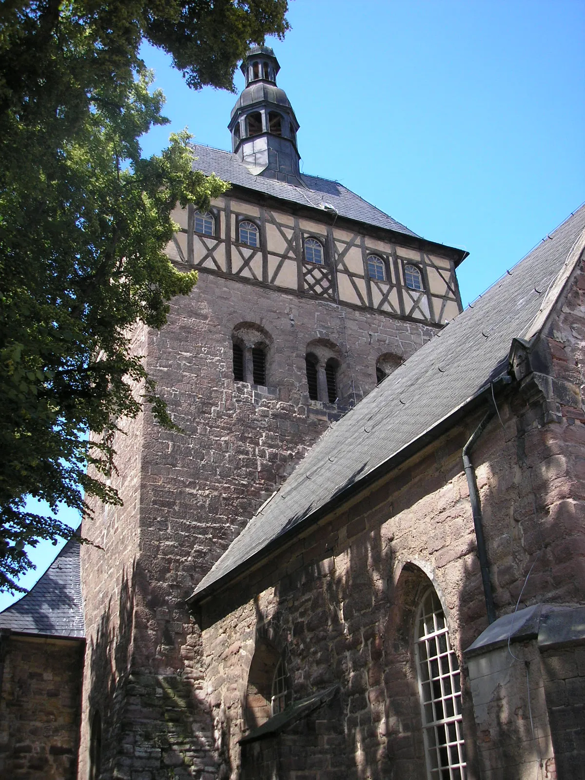
Start: Locality centerOberröblingen: Nature's Serenity in Oberröblingen, Germany
Oberröblingen is located in the Sachsen-Anhalt region of Germany, offering scenic cycling routes for road and gravel cyclists. The town provides access to picturesque trails that wind through forests and fields, allowing you to immerse yourself in nature. Nearby, you'll find the Thuringian Forest, known for its stunning landscapes and challenging climbs. Cyclists can explore the area's charming towns and enjoy panoramic views from the mountain peaks. Oberröblingen is an excellent choice for cyclists seeking tranquility and natural beauty.2 km
2 km
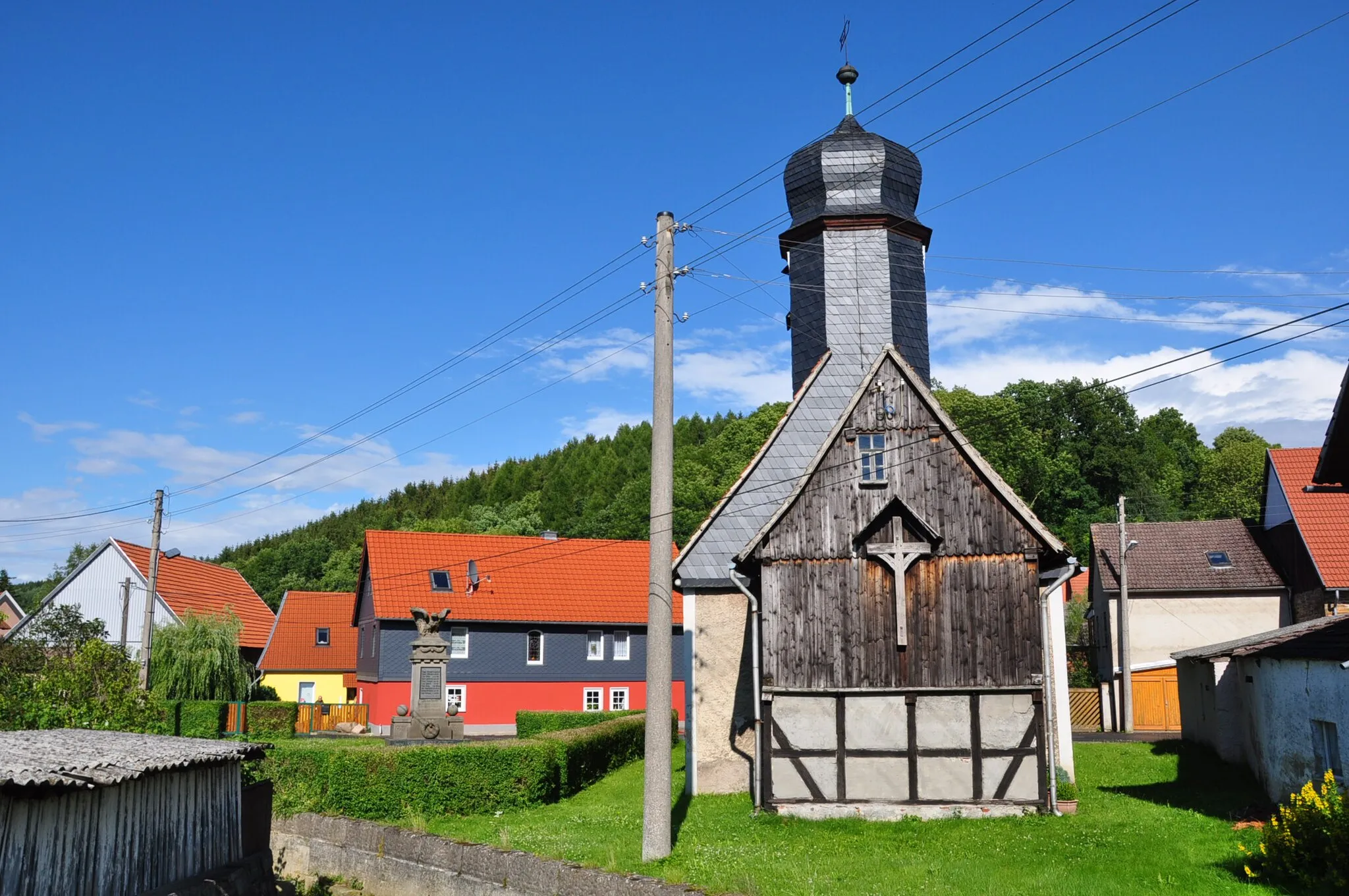
EderslebenVillageEdersleben offers a chance to visit a small historic village with beautiful architecture and a tranquil atmosphere.
23 km
23 km
Bismarckturm RothenburgViewpointLocated in Rothenburg, the Bismarckturm offers breathtaking panoramic views of the surrounding landscape.
25 km
25 km
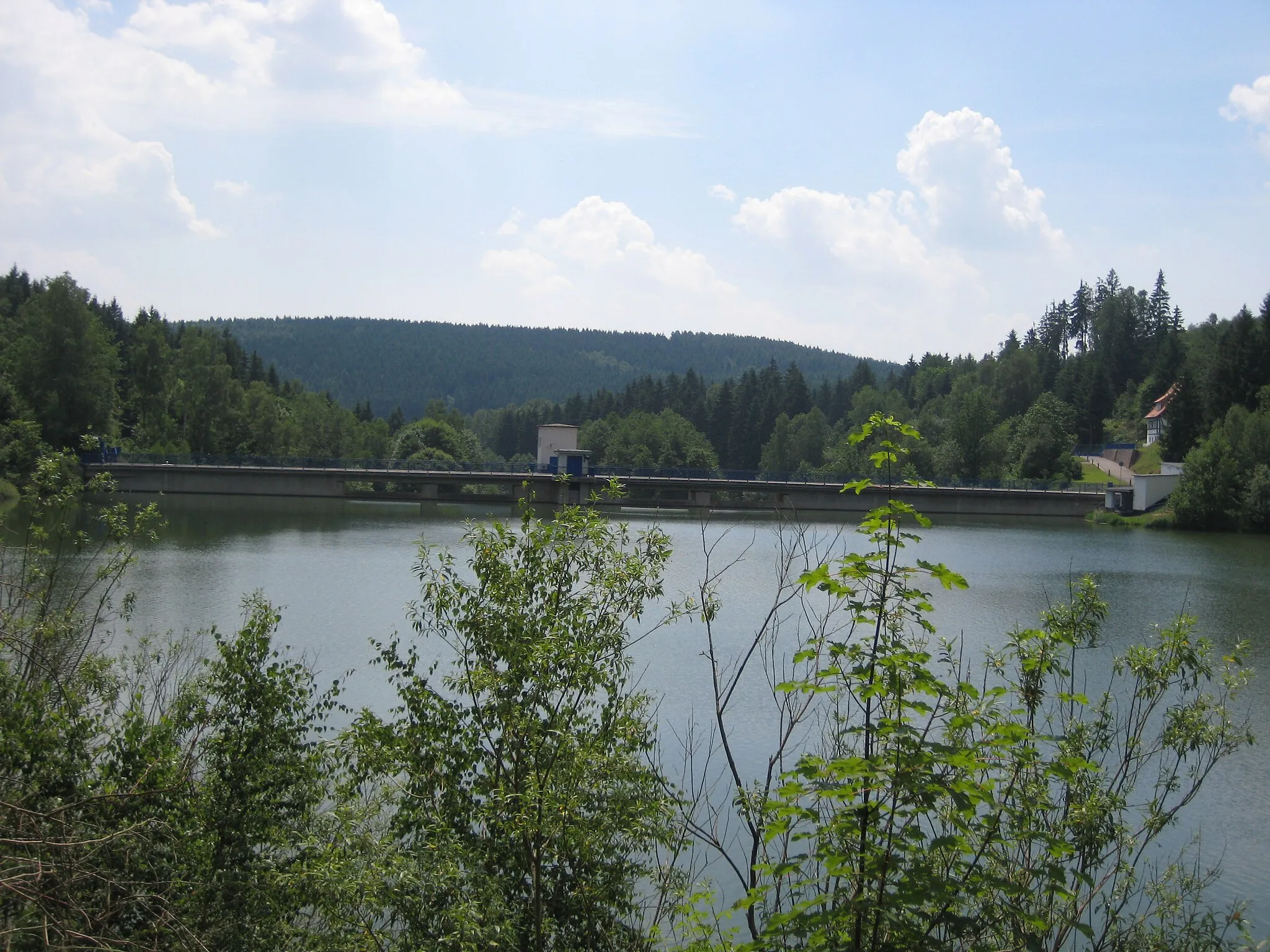
KelbraTownKelbra is known for its impressive reservoir, the Kelbra Dam, which provides opportunities for water-related activities.
41 km
41 km
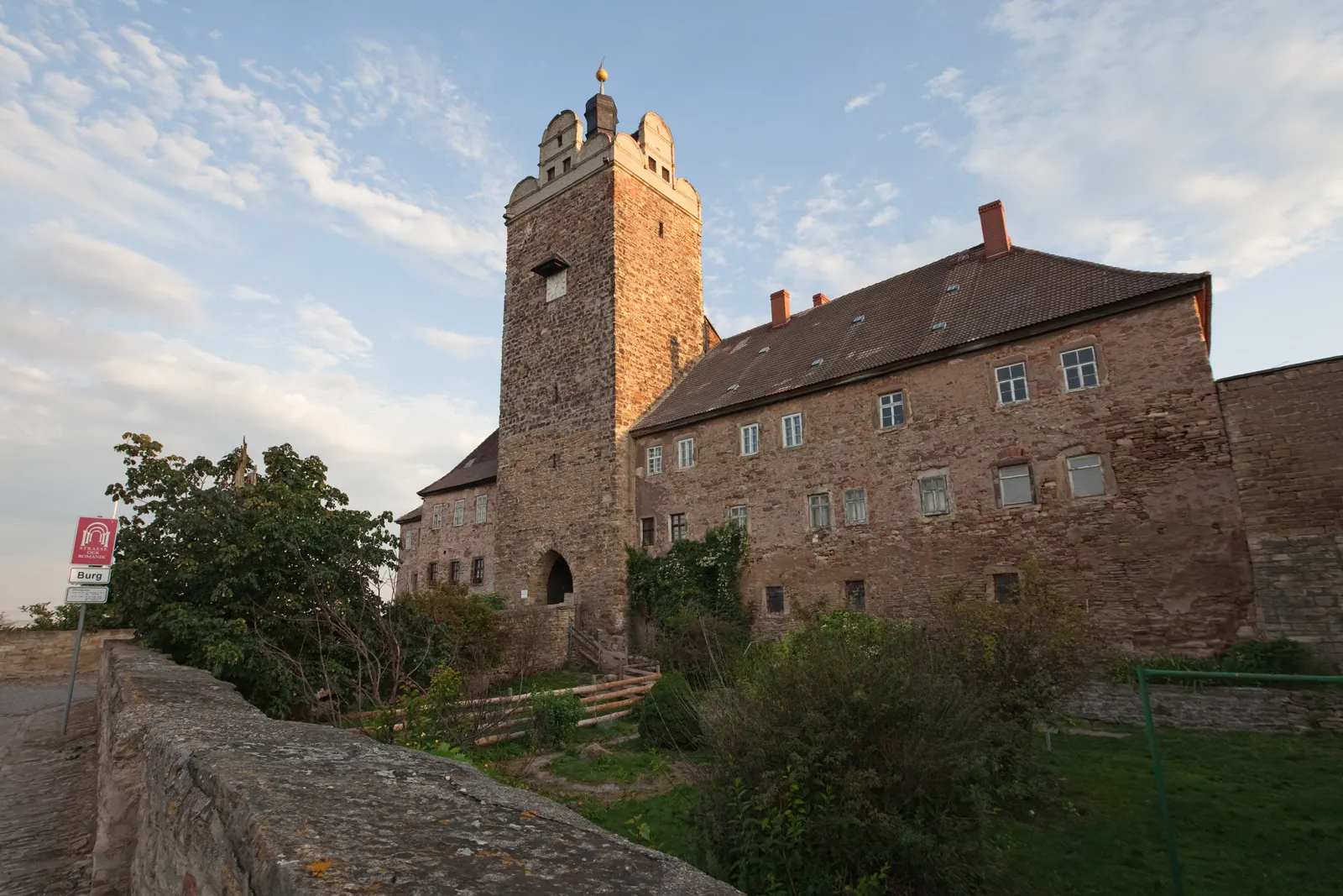
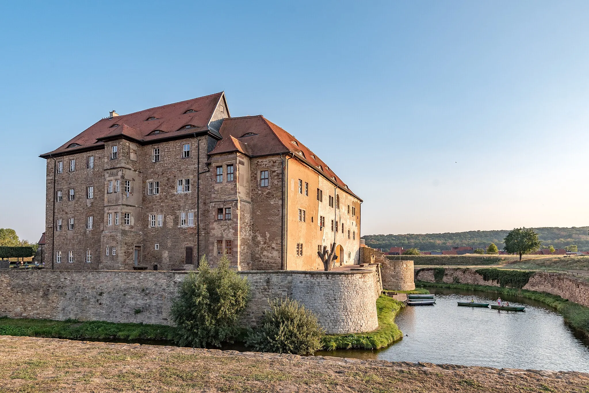
RottleberodeVillageRottleberode is famous for its medieval castle ruins, offering a glimpse into the region's rich history.
45 km
45 km
Iberg265 mPeakIberg is home to hiking trails that lead to the top of a hill, rewarding visitors with panoramic views.
53 km
53 km
Mittelberg533 mPeakMittelberg boasts a scenic overlook, allowing cyclists to take in stunning vistas of the surrounding landscapes.
59 km
59 km
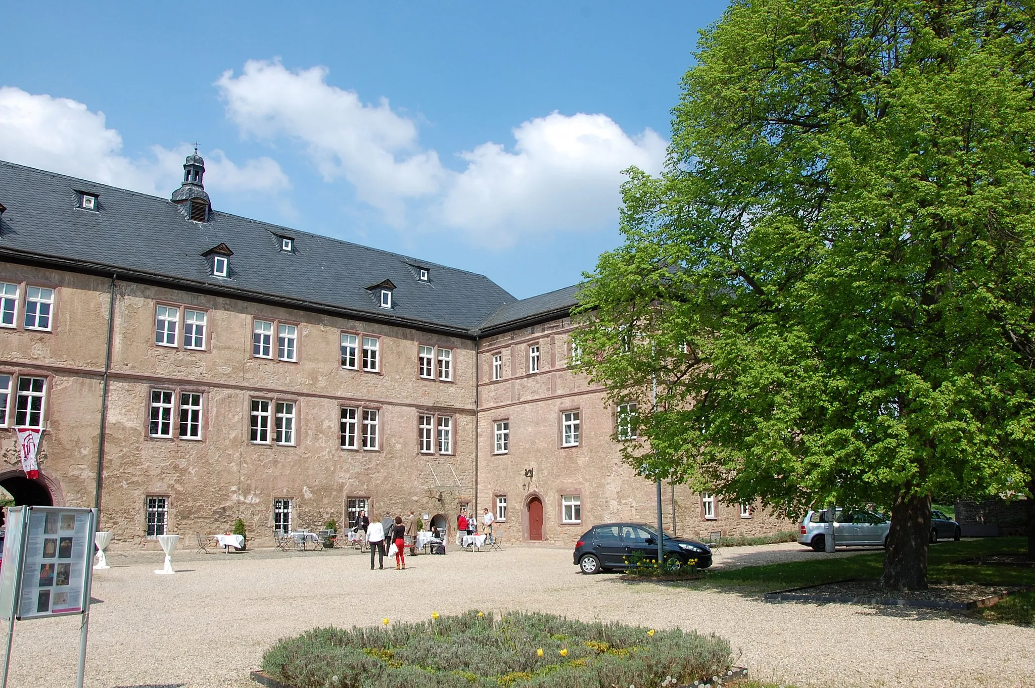
Stadt Stolberg (Harz)Sub-urbStolberg is a charming town known for its half-timbered houses, narrow streets, and medieval architecture.
74 km
74 km
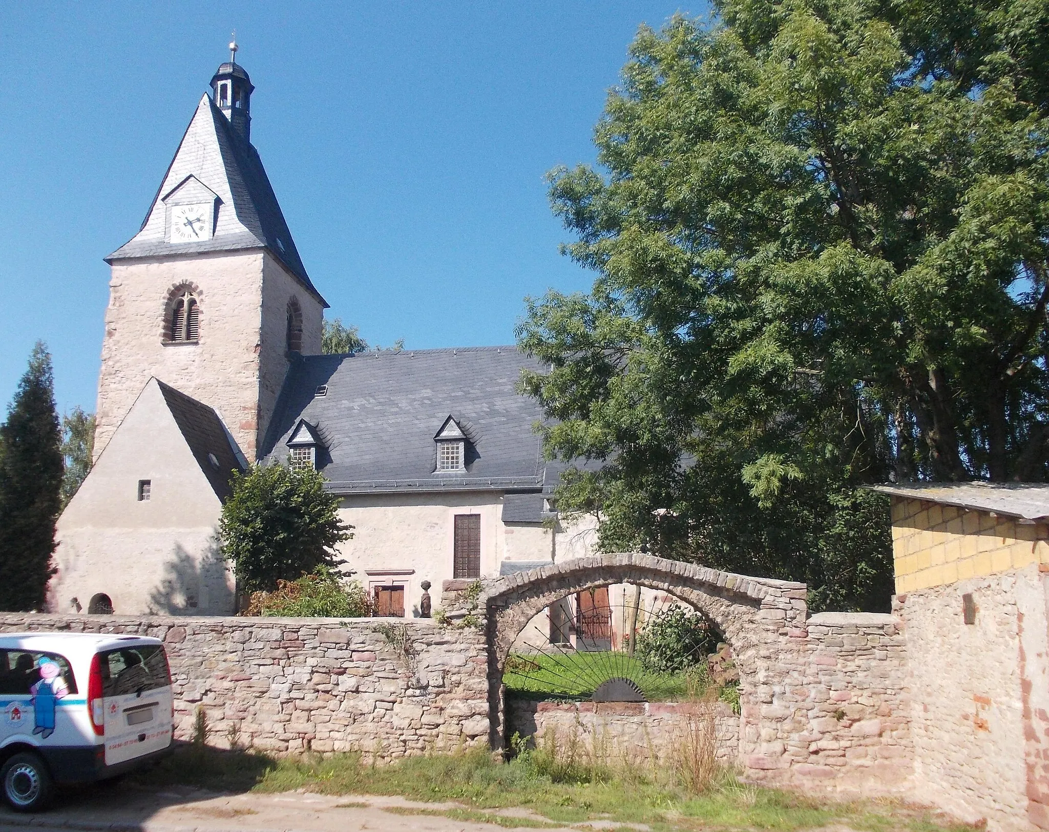
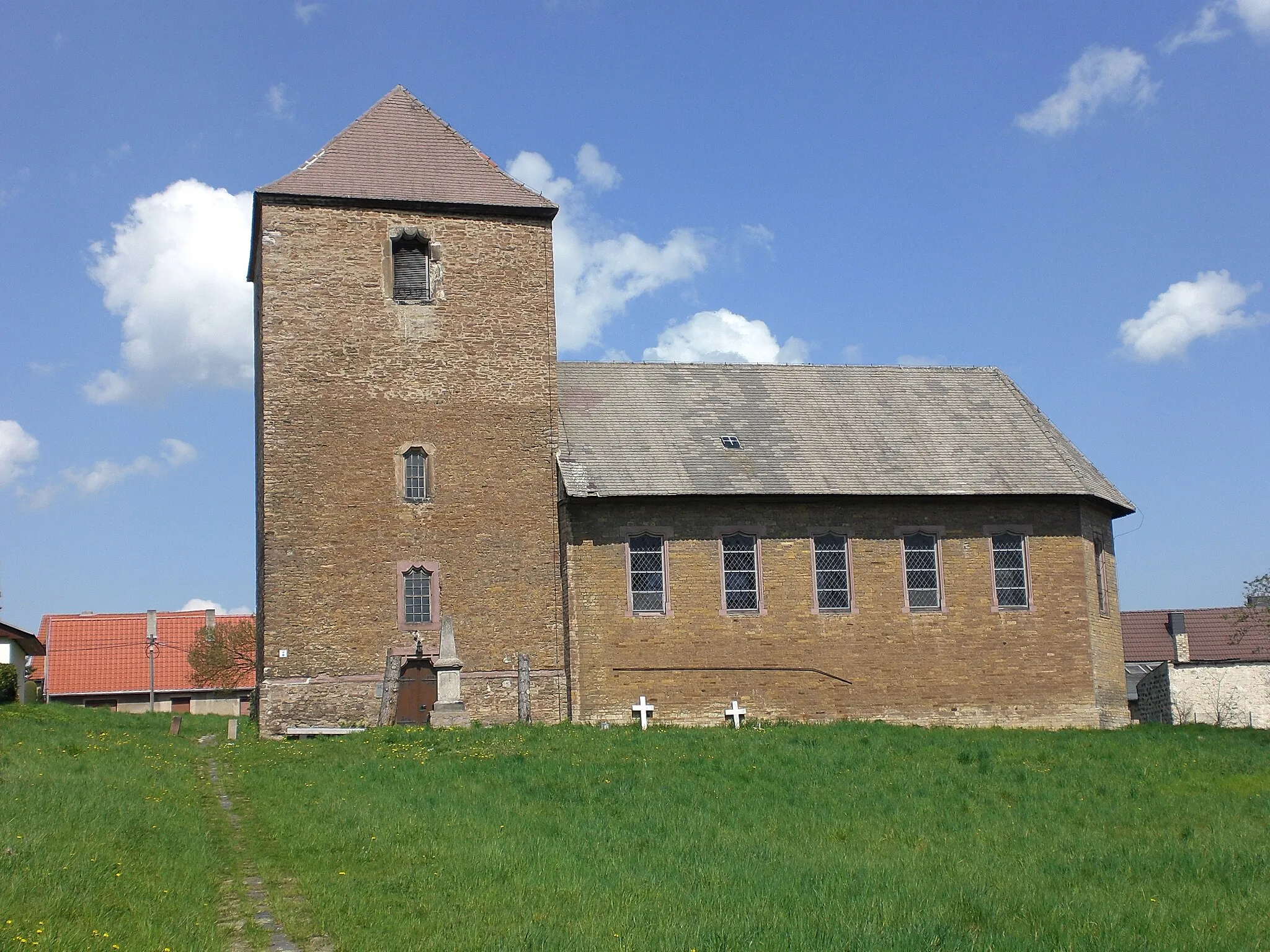
DankerodeVillageDankerode is home to a beautiful castle, which serves as a cultural and historical site.
75 km
75 km
Ilsenkopf398 mPeakIlsenkopf offers a challenging but rewarding climb, providing breathtaking views from the summit.
93 km
93 km
LengefeldSub-urbIn Lengefeld, cyclists can explore a historic village with traditional German architecture and friendly locals.
94 km
94 km
MoltkewarteViewpointThe Moltkewarte is a popular lookout point offering panoramic views of the surrounding countryside.
102 km
102 km
OberröblingenSub-urbOberröblingen, the starting and ending point of the route, offers beautifully preserved medieval architecture and a rich history.
102 km
102 km
Finish: Locality centerOberröblingen: Nature's Serenity in Oberröblingen, Germany
Cycling routes from Oberroeblingen:
Edersleben and Sittendorf Gravel Tour Riethnordhausen and Roßla Road Loop Hayn and Grillenberg Road Challenge A Tour through Oberröblingen's Hidden Gems Oberröblingen Gravel Loop Country Roads and Historic Treasures Oberröblingen Road Loop The Green Landscapes of Oberröblingen Altendorfer Klippen and Lutherbuche Gravel Adventure Wachsberg and Burg Bornstedt Road Tour
Cycling routes nearby: