Tranquil Road Cycling Exploration
Cycling routes from Obhausen
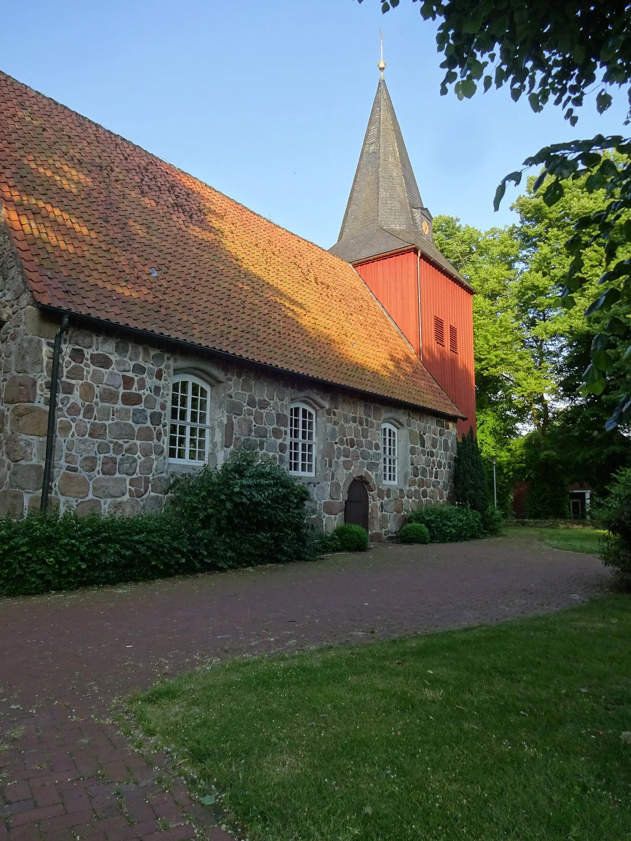
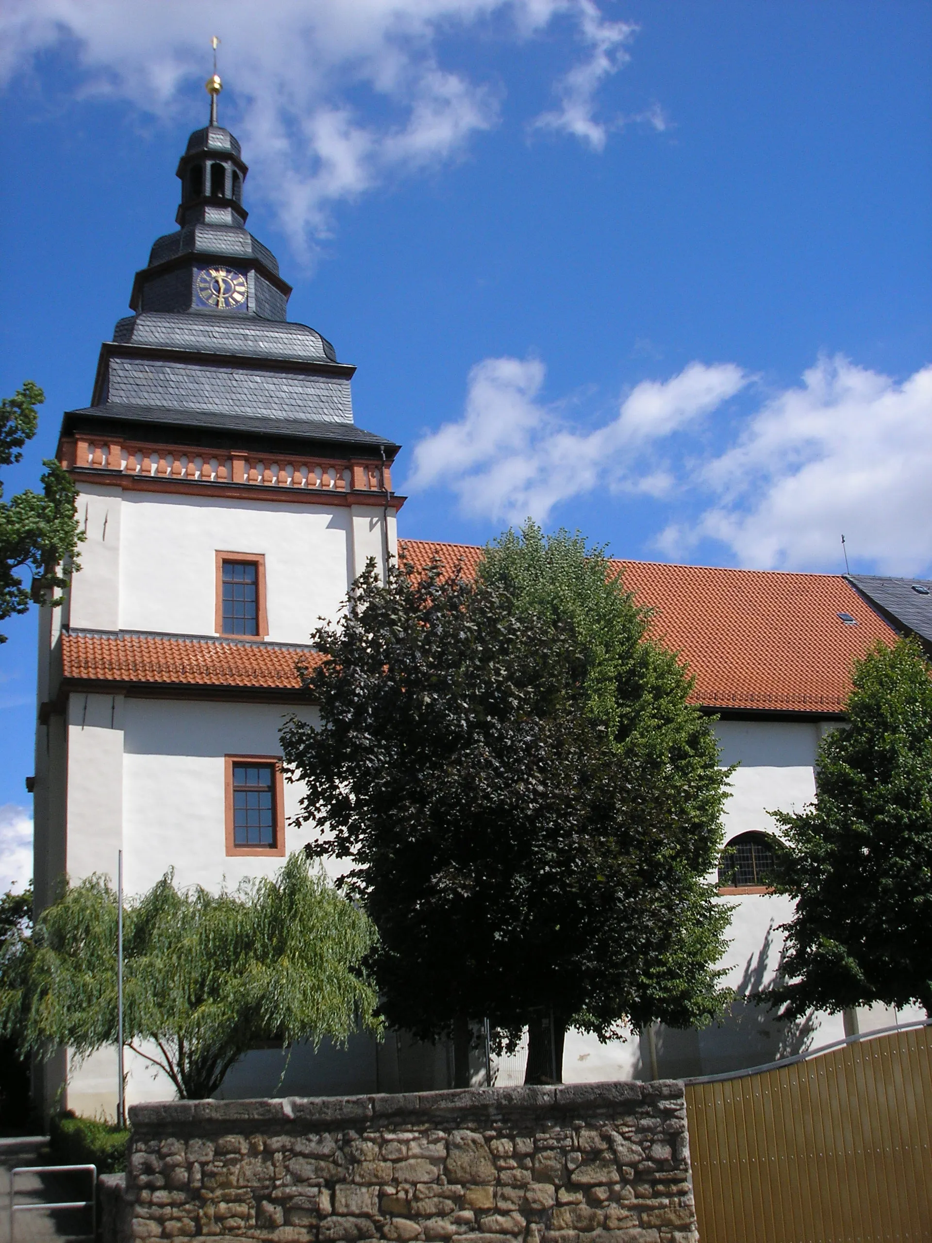
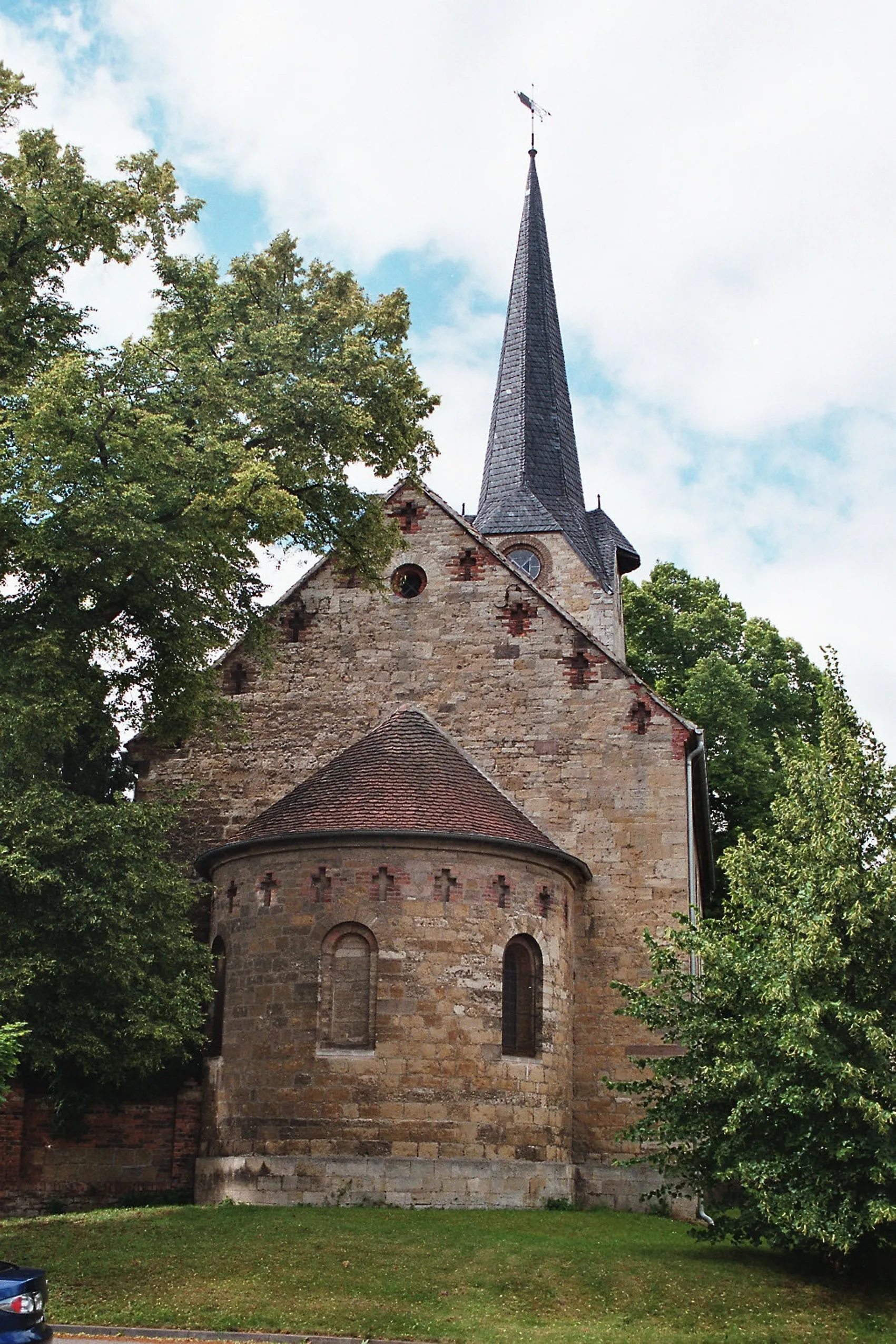
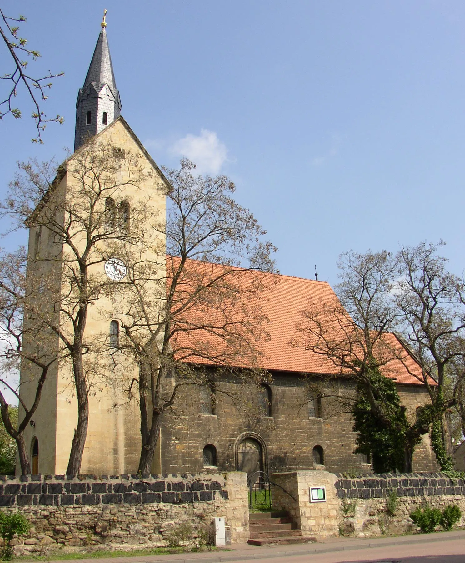
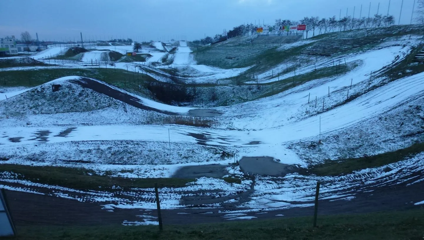
Obhausen is a small locality located in Sachsen-Anhalt, Germany. As a road cyclist, you will have the chance to explore the beautiful countryside and charming villages surrounding Obhausen. The region offers a mix of flat and hilly routes, catering to both beginners and experienced riders. For those seeking a challenge, the nearby Harz Mountains provide a variety of famous climbs, including the legendary Brocken. Obhausen itself offers a peaceful and pleasant atmosphere, making it a perfect starting point for road cycling adventures.
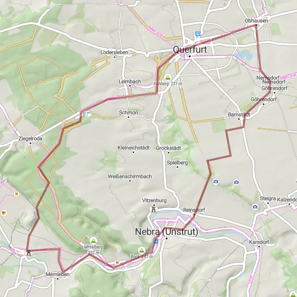
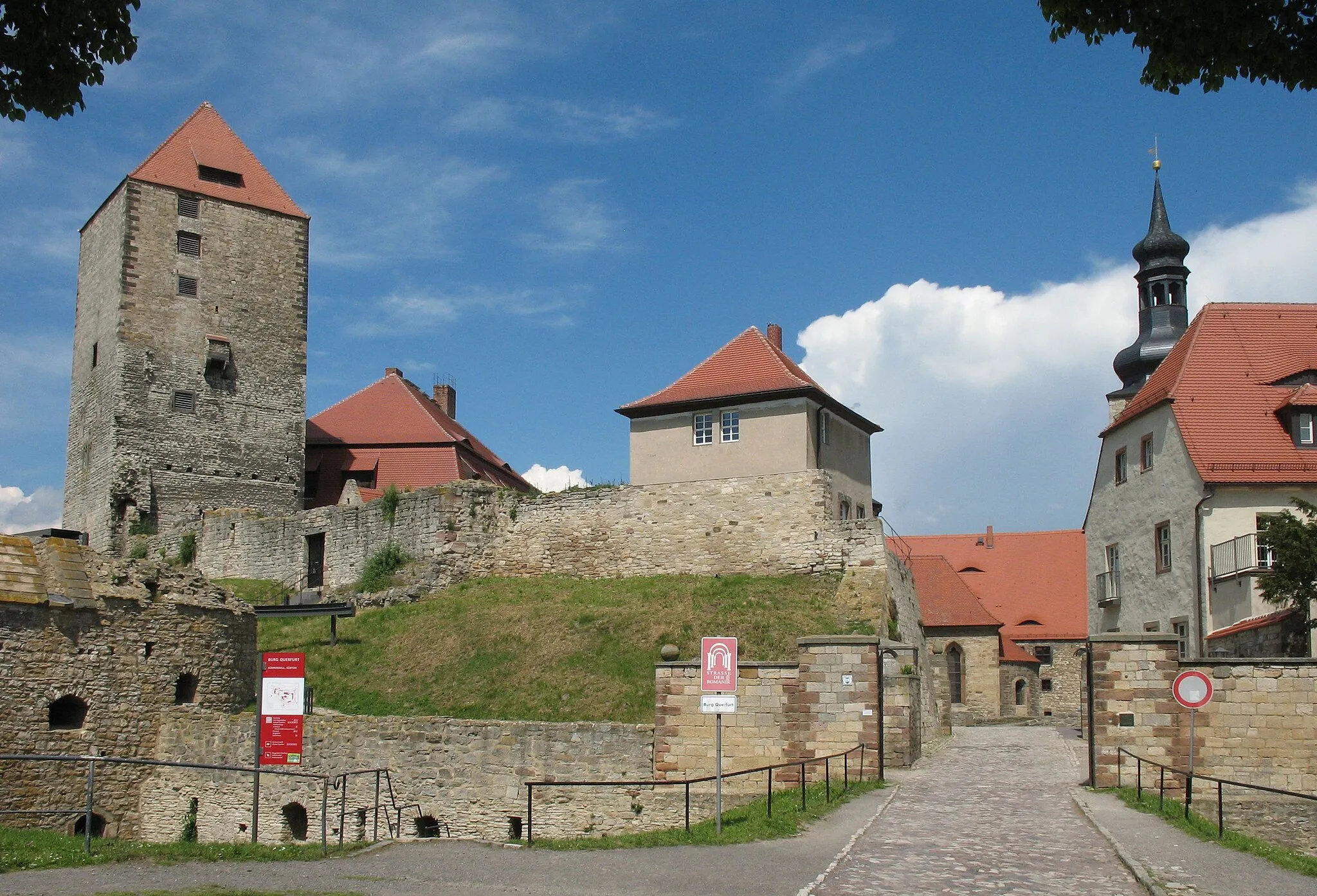
Querfurt Gravel Adventure
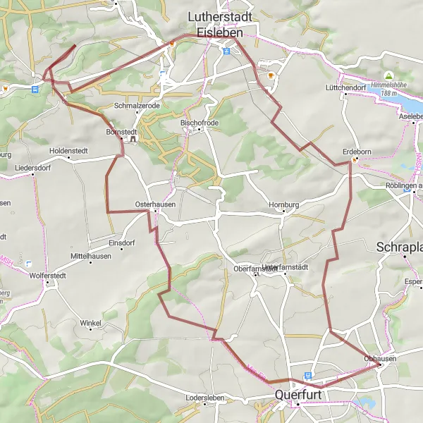
Embark on a thrilling gravel adventure exploring the historic town of Querfurt
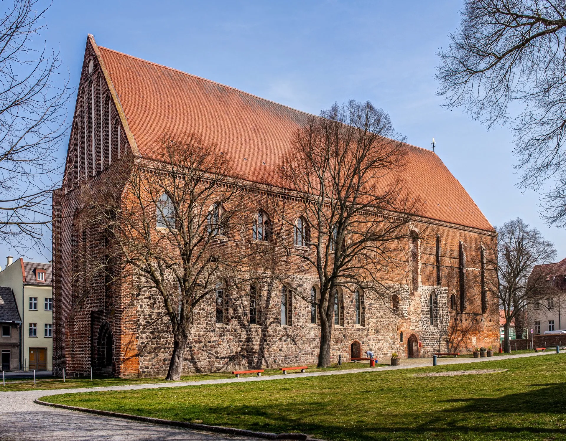
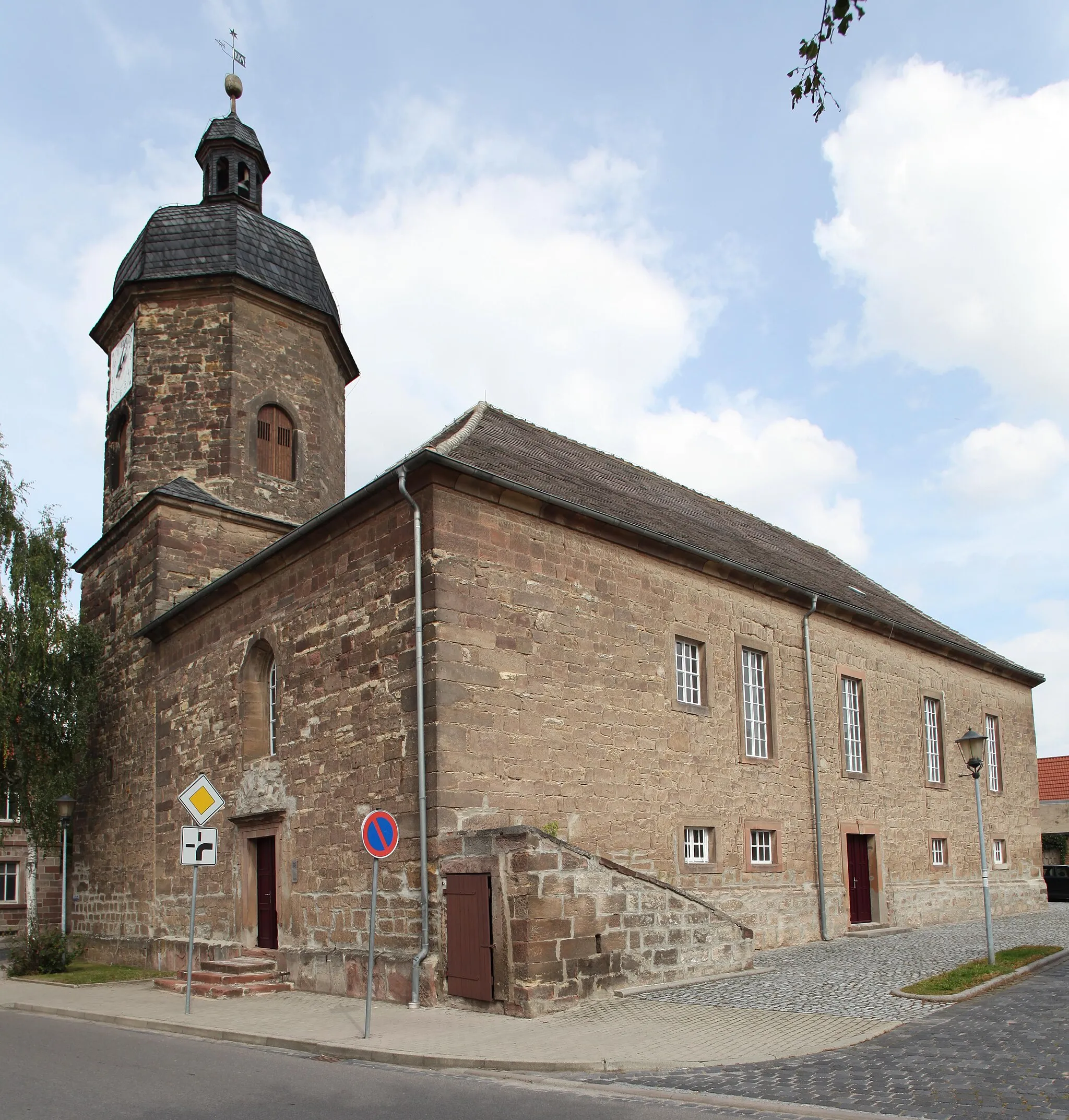
The Querfurt Gravel Adventure is a 64-kilometer long gravel cycling route that takes you on an exciting journey through picturesque landscapes and scenic rural areas. With an elevation gain of 569 meters, this route offers a moderate to challenging experience suitable for well-trained amateurs. The route highlights the historic town of Querfurt, known for its medieval castle and stunning architecture. Other attractions along the way include the Pariser Turm, an observation tower offering panoramic views, and Osterhausen, a charming village with a rich cultural heritage. For gravel enthusiasts seeking an off-the-beaten-path adventure, the Querfurt Gravel Adventure is the perfect choice.
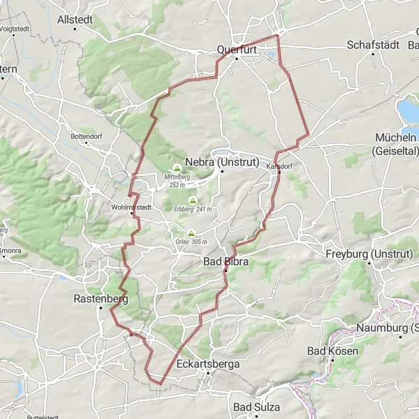
Nebra Challenge
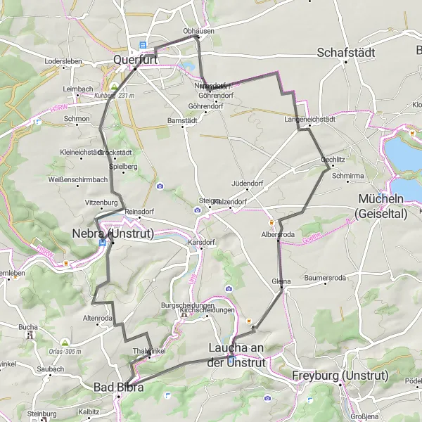
Embark on a challenging road cycling route and conquer the hills of Nebra
The Nebra Challenge is a road cycling route spanning 70 kilometers with an elevation gain of 576 meters. This challenging route takes you through picturesque landscapes, gliding along scenic roads while conquering steep climbs. Highlights along the way include Nemsdorf, a quaint village known for its peaceful charm and beautiful surroundings. The route also passes by the highest peak in the region, Höchste Erhebung, offering breathtaking views of the surrounding areas. Other notable highlights include Gleina, a charming village with traditional architecture, and Golzen, which offers picturesque views from its viewpoint. The Nebra Challenge is a must-do for road cycling enthusiasts seeking an exhilarating and rewarding experience.
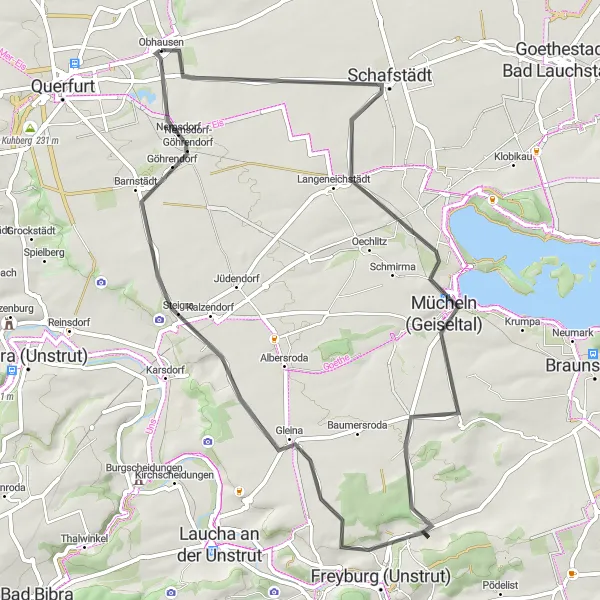
Unstruttal Discovery
Explore the stunning landscapes of the Unstruttal valley on this gravel route
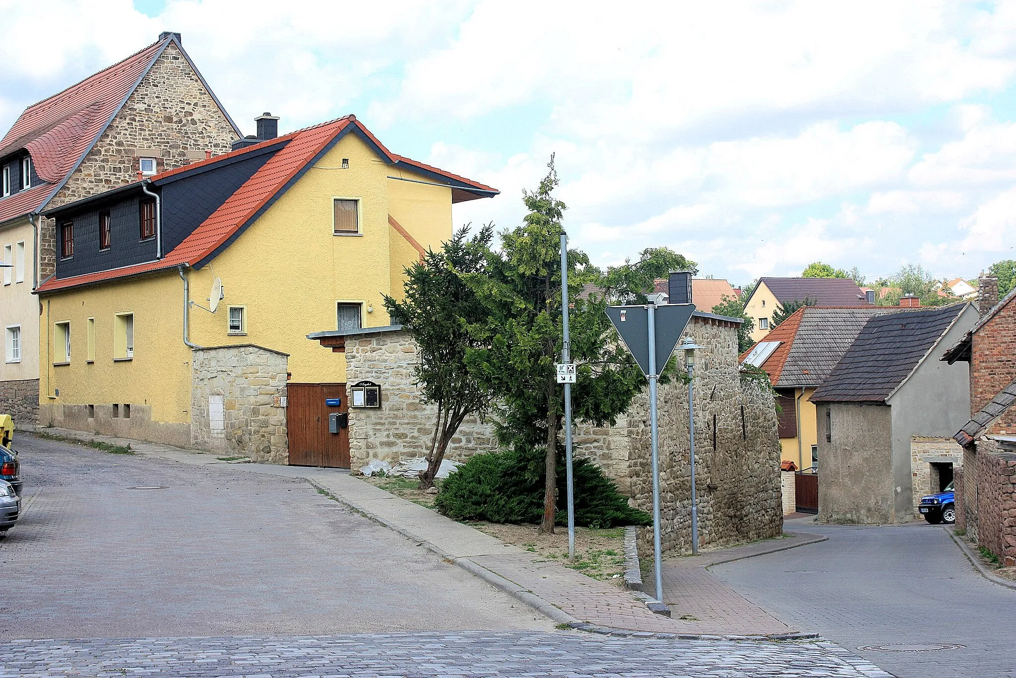
The Unstruttal Discovery is a gravel cycling route covering a distance of 49 kilometers and ascending 353 meters. This scenic route takes you through the breathtaking landscapes of the Unstruttal valley, showcasing the beauty and tranquility of the region. Highlights along the way include Göhrendorf, a picturesque village known for its rural charm and natural beauty, and Unstruttal, which offers stunning views of vineyards and the meandering Unstrut river. The route also includes visits to the Bock cliffs, a geological phenomenon, and the historic town of Memleben, with its impressive monastery ruins. For gravel enthusiasts seeking a memorable cycling experience, the Unstruttal Discovery is not to be missed.
Saale Valley Loop
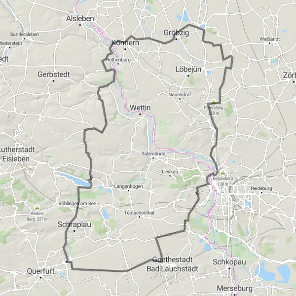
Explore the beautiful Saale Valley and enjoy the stunning views from the Bismarck Tower in Halle.
The Saale Valley Loop offers a challenging and scenic cycling route through the picturesque landscapes of Sachsen-Anhalt. Starting near Obhausen, this route takes you along the Saale River, providing breathtaking views of the Saale Durchbruchstal and the surrounding countryside. The highlight of the route is the ascent to the Bismarck Tower in Halle, where you can enjoy panoramic views of the city and the river. With a total distance of 125 kilometers and an elevation gain of 645 meters, this route is suitable for well-trained amateur cyclists.
Gemütlichkeit Tour
Experience the serene beauty and warm hospitality of Saale-Unstrut region on this leisurely road cycling tour.
Immerse yourself in the hospitality and tranquility of the Saale-Unstrut region as you embark on this leisurely road cycling tour. Discover charming villages, rolling vineyards, and take in the stunning views along the way. The route offers a pleasant mix of flat stretches and gentle climbs, making it suitable for cyclists of all levels.
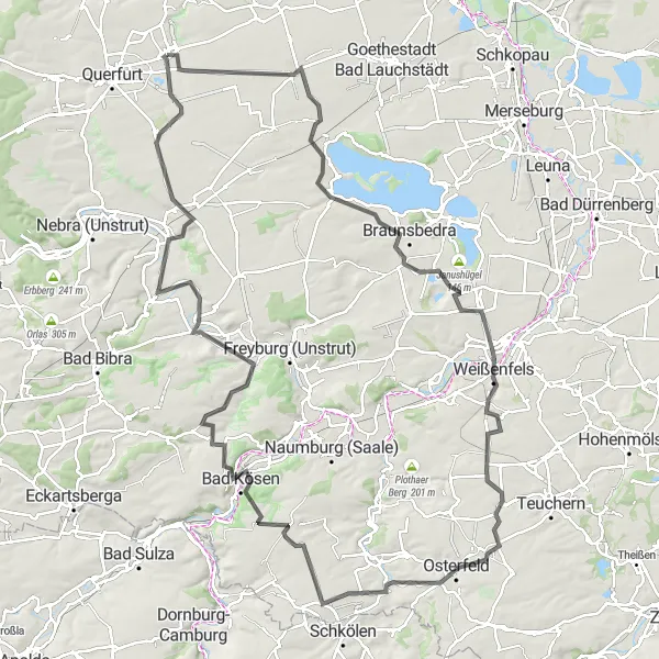
Immerse yourself in the rich history and culture of Weißenfels on this captivating road cycling route.
Explore the historic town of Weißenfels and its surroundings as you pedal through scenic landscapes and immerse yourself in the region's cultural heritage. This road cycling route offers a good mix of challenging climbs and rewarding descents, taking you to charming villages, fortresses, and breathtaking viewpoints.

Embark on a journey through sacred landscapes and discover the beauty of Salzmünde
The Sacred Salzmünde gravel route covers a total distance of 63 kilometers and includes an elevation gain of 348 meters. This captivating route takes cyclists through sacred landscapes, showcasing picturesque rural areas rich in history and cultural heritage. Highlights along the way include Schraplau, a village known for its historic castle and captivating natural surroundings. The Salzmünde area features the legendary Kolkturm, an imposing tower offering panoramic views and a connection to the region's salt mining history. Other notable highlights include Belvedere Salzmünde, a splendid viewpoint, and Altweidenbach, a charming settlement tucked away amidst beautiful scenery. The Sacred Salzmünde route provides a unique cycling experience, immersing riders in the spiritual and cultural charm of the region.
Dive into the scenic beauty of Saale-Unstrut region on this gravel adventure.
Experience the rustic charm and picturesque landscapes of Saale-Unstrut as you embark on this gravel adventure. The route offers a good mix of challenging climbs and smooth descents, taking you through quaint towns, vineyards, and stunning viewpoints.
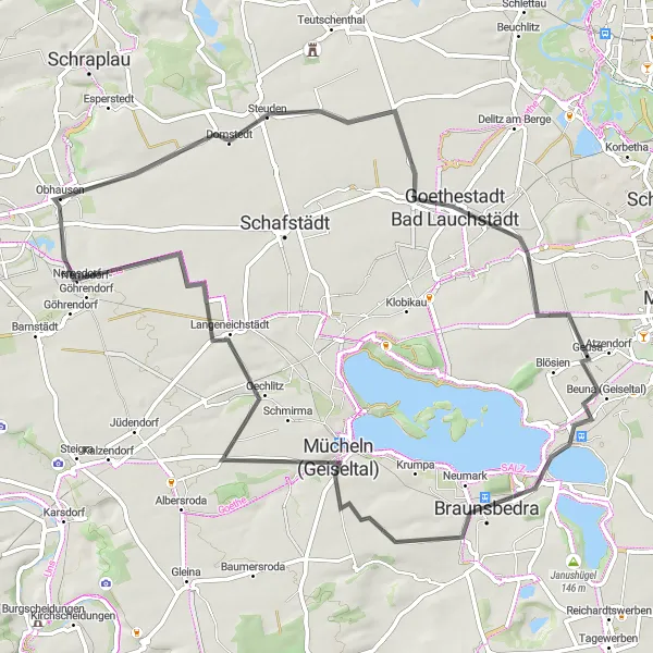
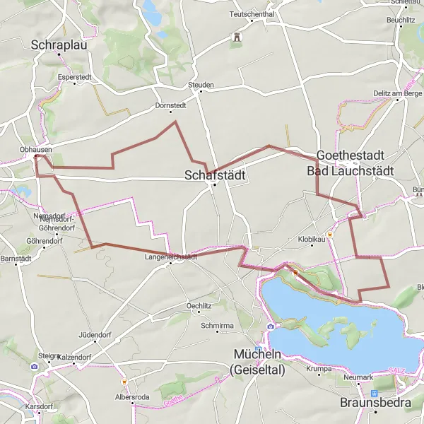
Geiseltal Loop
A scenic road route around the picturesque Geiseltal lake
The Geiseltal Loop is a road cycling route that takes you on a scenic journey around the beautiful Geiseltal lake. With a total distance of 59 kilometers and an elevation gain of 290 meters, this route offers a moderate challenge for well-trained amateurs. The highlight of this route is Langeneichstädt, a charming village known for its historic buildings and picturesque surroundings. Another notable highlight is Mücheln, which is famous for its wine production. Overall, the Geiseltal Loop provides a fantastic opportunity to take in the natural beauty and rich history of the Sachsen-Anhalt region.
Embark on a gravel adventure through the Geiseltal region, surrounded by stunning natural landscapes.
Discover the untouched beauty of the Geiseltal region as you cycle through gravel paths and experience the tranquility of the scenic landscapes. The route takes you through picturesque villages, lush green forests, and past shimmering lakes. Be prepared for a challenging ride with rewarding views, making this gravel loop a must-do for adventure-seeking cyclists.
Cycling routes nearby:

Nearby regions: