Geiseltal Gravel Loop
A gravel cycling route starting from Obhausen
Embark on a gravel adventure through the Geiseltal region, surrounded by stunning natural landscapes.
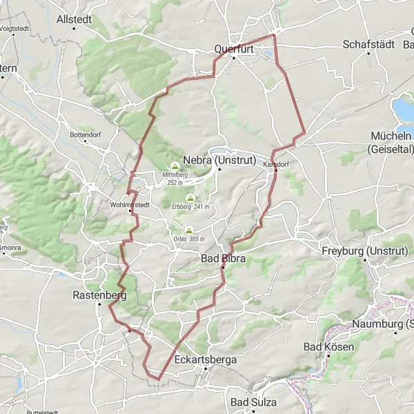
Map
Discover the untouched beauty of the Geiseltal region as you cycle through gravel paths and experience the tranquility of the scenic landscapes. The route takes you through picturesque villages, lush green forests, and past shimmering lakes. Be prepared for a challenging ride with rewarding views, making this gravel loop a must-do for adventure-seeking cyclists.
gravel
92 km
893 m
Tough
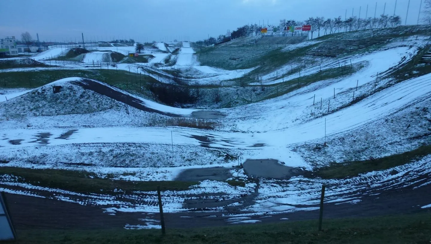
Route profile
Highlights on the route
0 km
0 km
Start: Obhausen Village centerObhausen: Tranquil Road Cycling Exploration
Obhausen is a small locality located in Sachsen-Anhalt, Germany. As a road cyclist, you will have the chance to explore the beautiful countryside and charming villages surrounding Obhausen. The region offers a mix of flat and hilly routes, catering to both beginners and experienced riders. For those seeking a challenge, the nearby Harz Mountains provide a variety of famous climbs, including the legendary Brocken. Obhausen itself offers a peaceful and pleasant atmosphere, making it a perfect starting point for road cycling adventures.0 km
0 km
ObhausenVillageObhausen is the starting point of this gravel loop and welcomes you with its charming village ambiance. Take a moment to explore the local culture and admire the traditional architecture.
12 km
12 km
Valley ViewViewpointValley View provides a mesmerizing viewpoint overlooking the surrounding valleys, presenting a breathtaking opportunity to soak in the scenic beauty of the region.
21 km
21 km
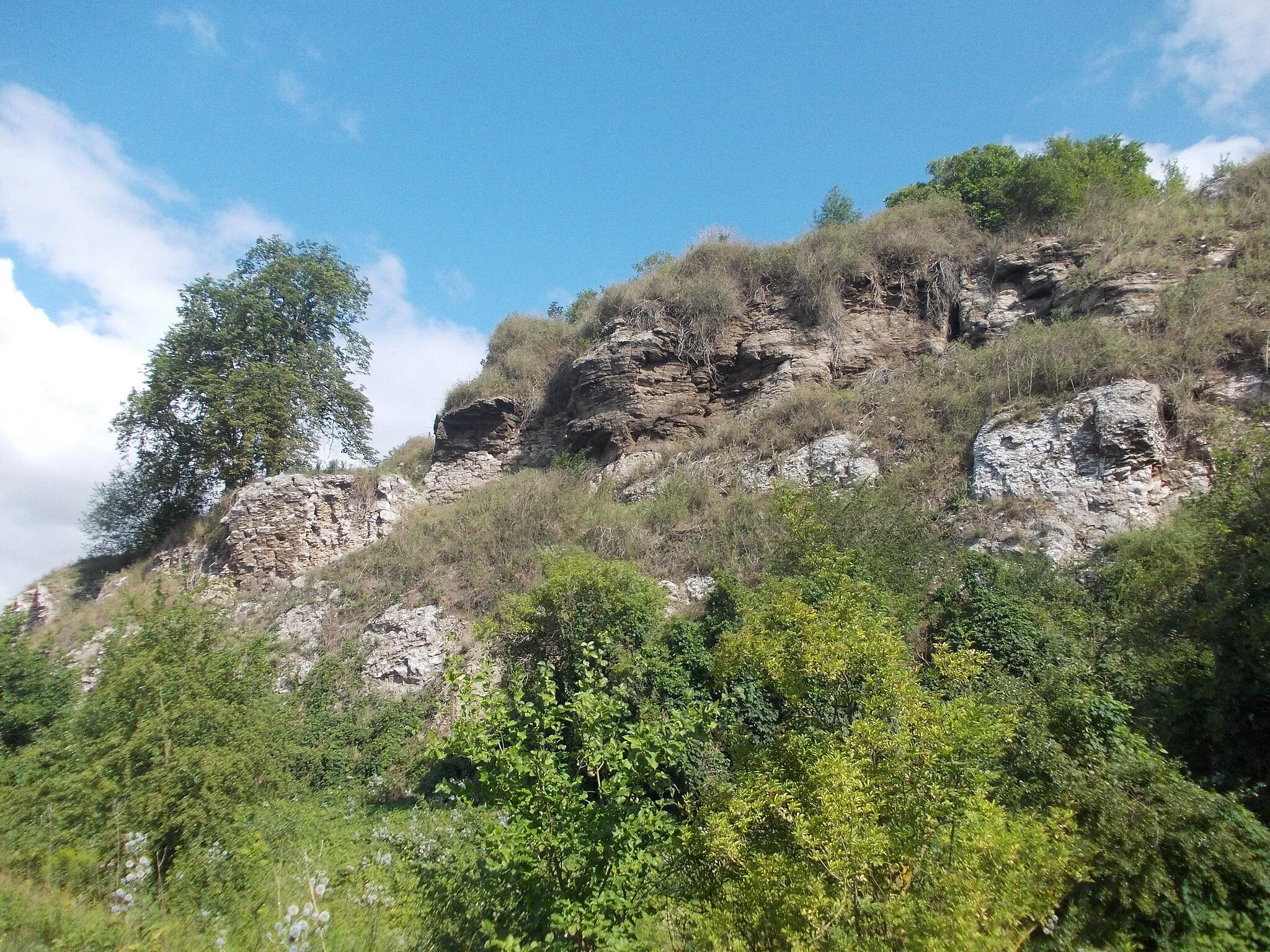
TeufelskanzelViewpointTeufelskanzel, meaning 'Devil's Pulpit,' is a striking rock formation that offers panoramic views of the Geiseltalsee, one of the largest artificial lakes in Germany.
27 km
27 km
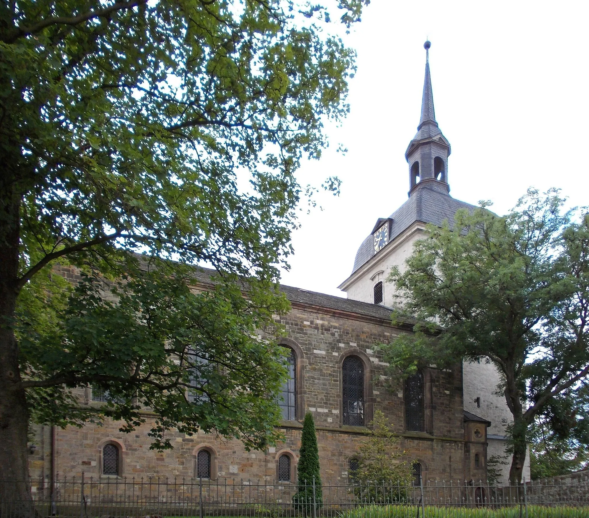
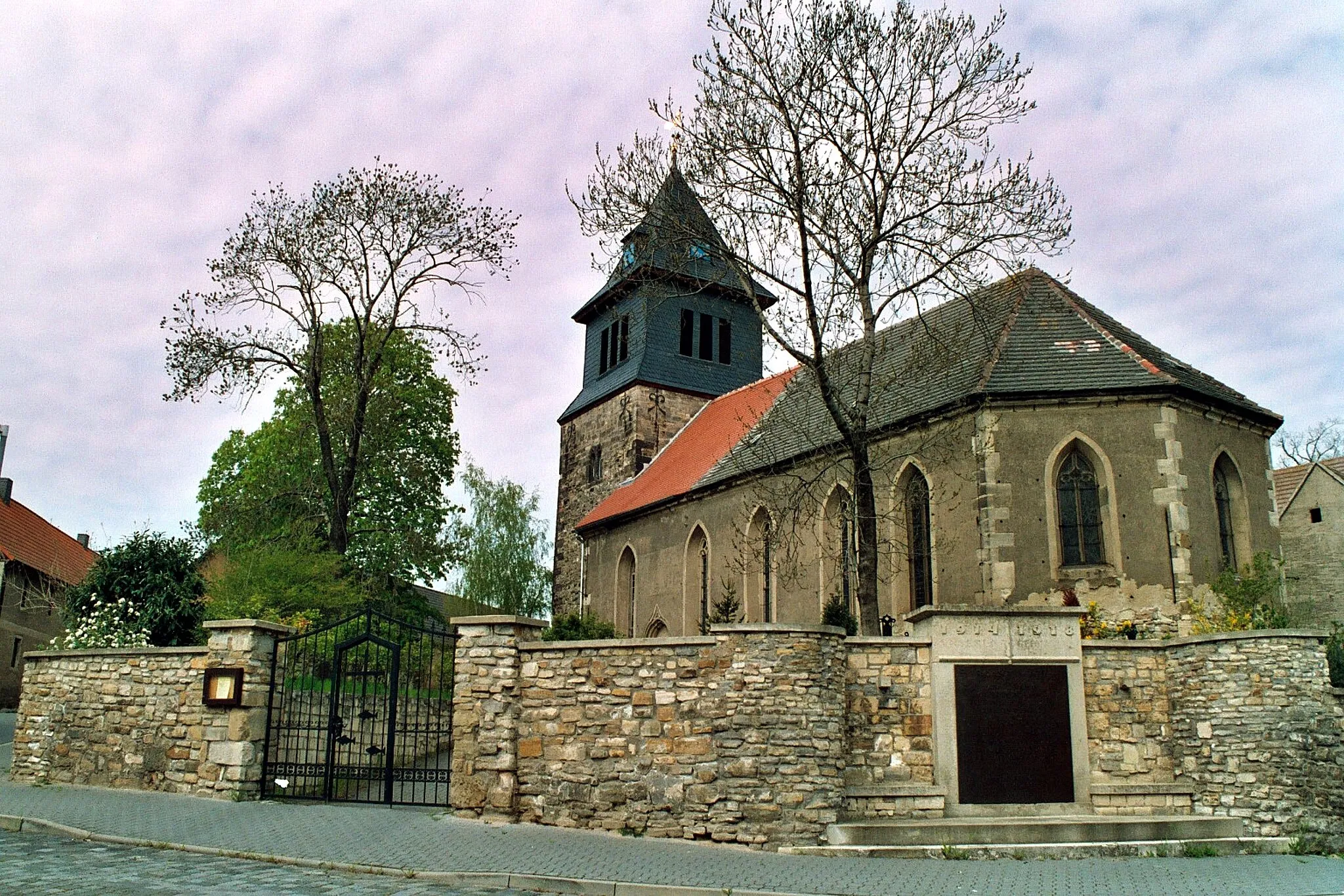
Bad BibraTownBad Bibra is a historic town with beautiful Renaissance architecture and is surrounded by a natural paradise, featuring dense forests and gently rolling hills.
47 km
47 km
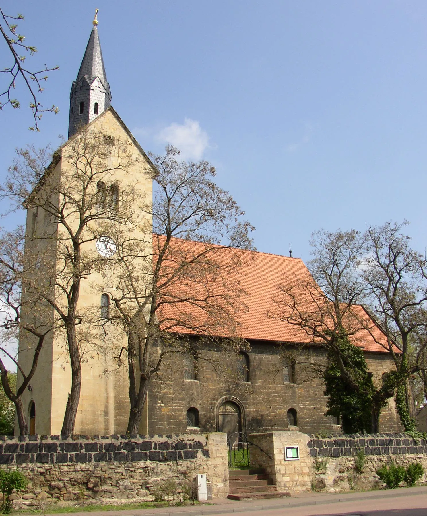
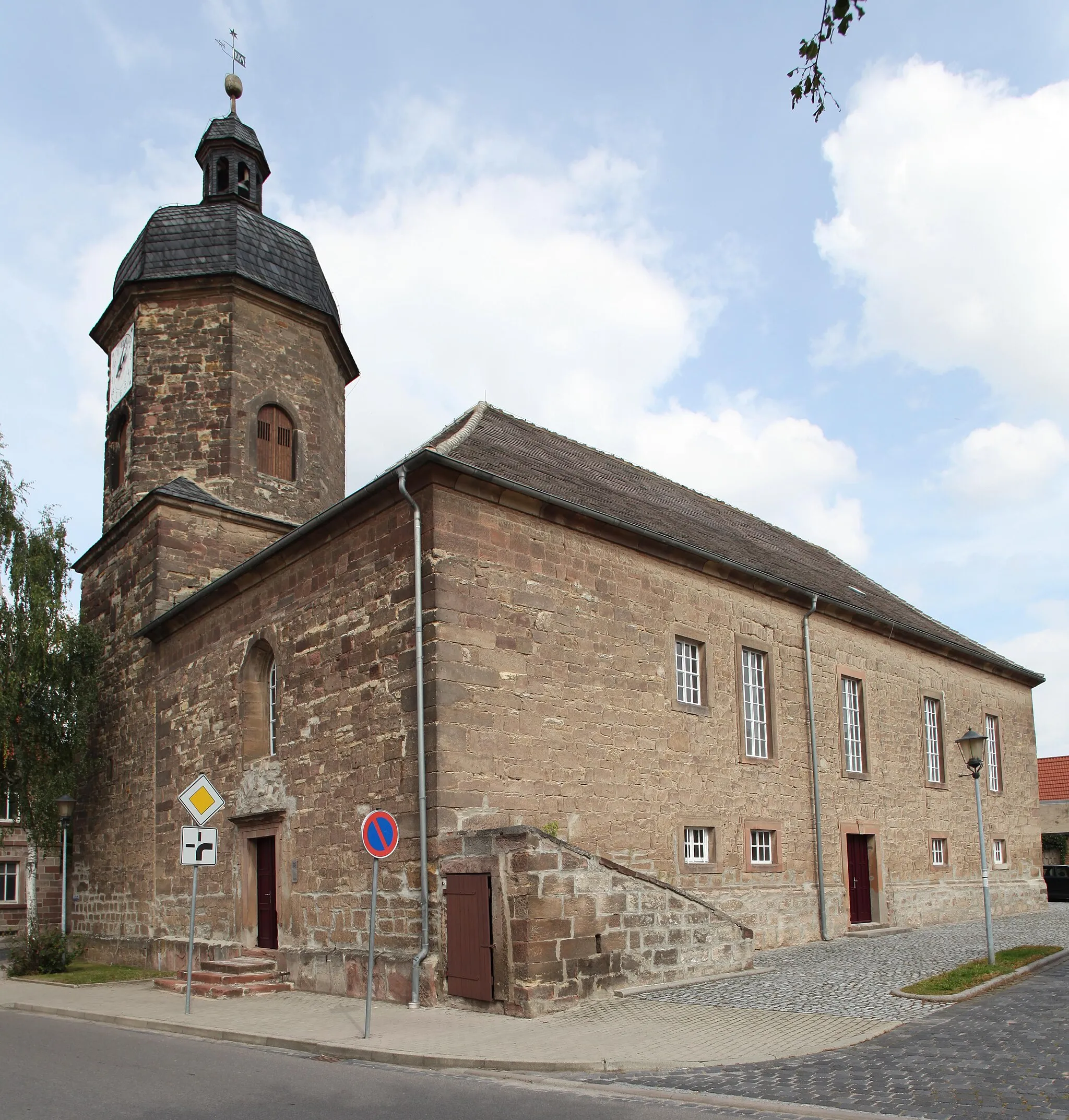
HerrengosserstedtVillageHerrengosserstedt is a charming village nestled amidst picturesque landscapes, providing a serene atmosphere for a short break during your gravel adventure.
57 km
57 km
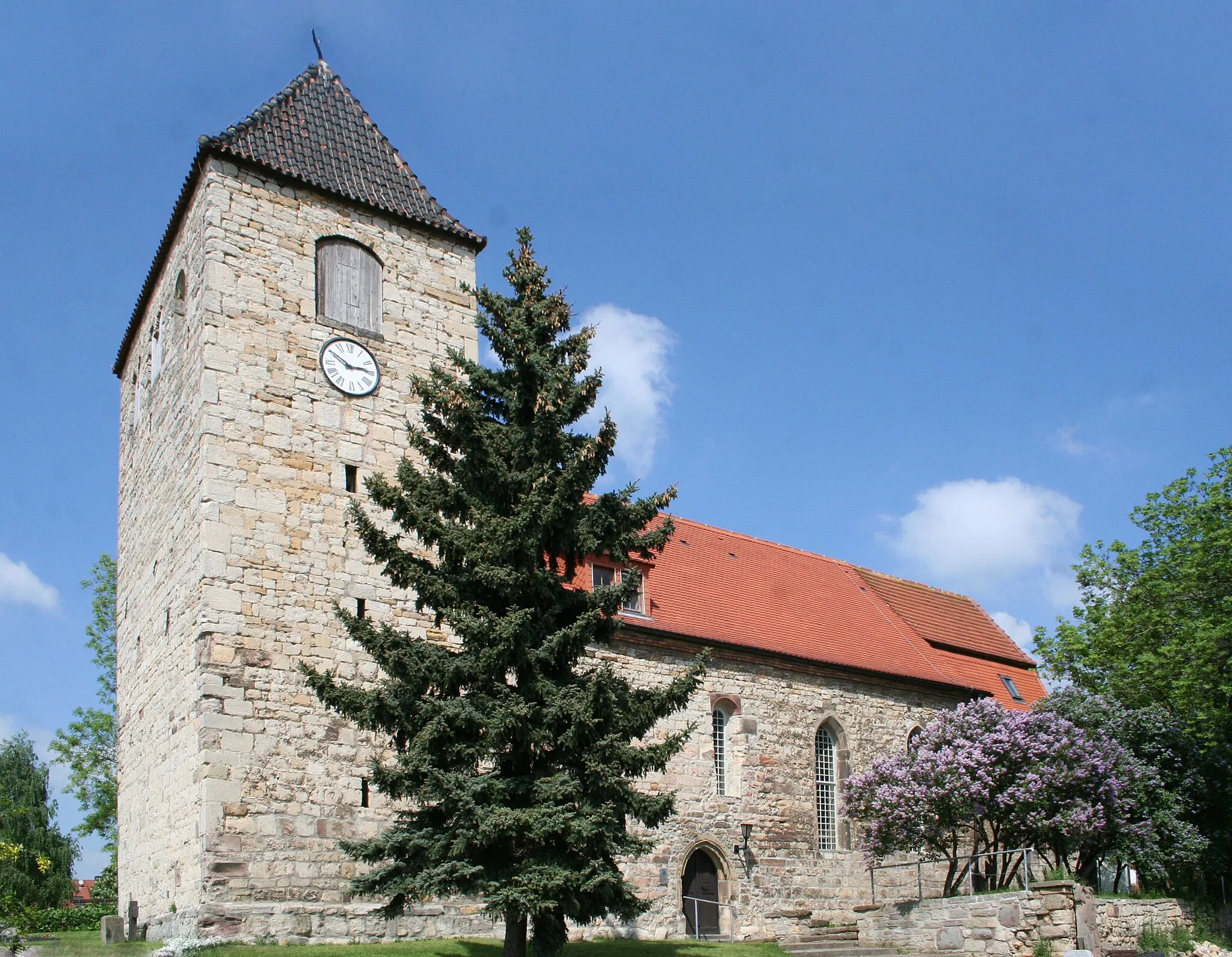
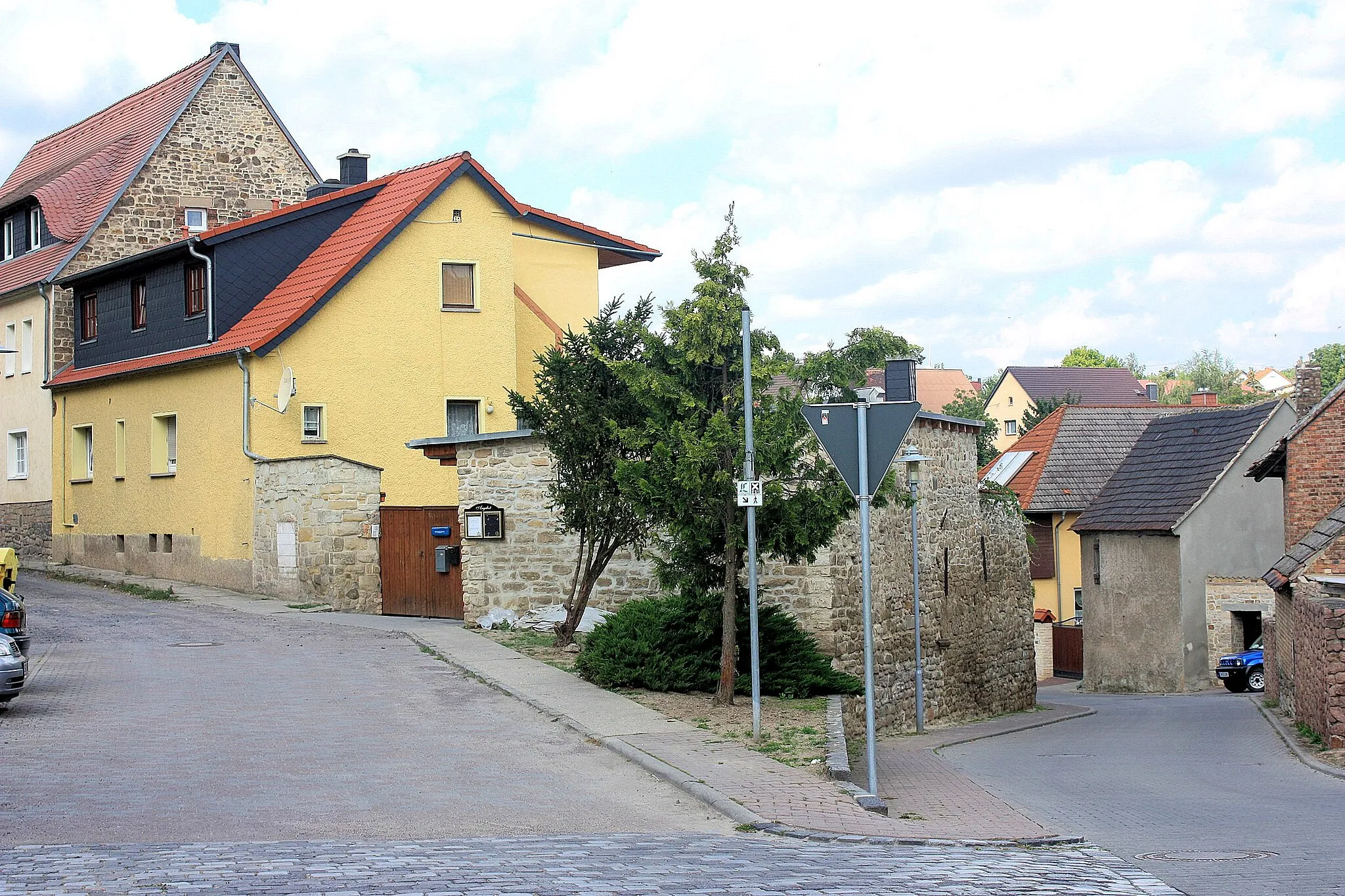
BillrodaVillageBillroda offers a perfect blend of history and nature. Explore the local landmarks, including the Billroda Castle, and appreciate the captivating scenery along the way.
61 km
61 km
Wolfsanger327 mPeakWolfsanger is a peaceful village situated on the shores of the Geiseltalsee, offering a great spot to relax and enjoy the tranquility of the surroundings.
70 km
70 km
WendelsteinCastleWendelstein is a hilltop castle ruin that provides a unique glimpse into the region's history and rewards you with beautiful views of the Geiseltal.
74 km
74 km
Kuckucksberg263 mPeakKuckucksberg, meaning 'Cuckoo Mountain,' is a scenic spot known for its breathtaking vistas and peaceful ambiance, perfect for a brief stop to admire the landscape.
87 km
87 km
Pariser TurmViewpointPariser Turm, or 'Paris Tower,' is a lookout tower offering panoramic views of the Geiseltal and its surroundings, enabling you to appreciate the vastness of the natural beauty.
87 km
87 km
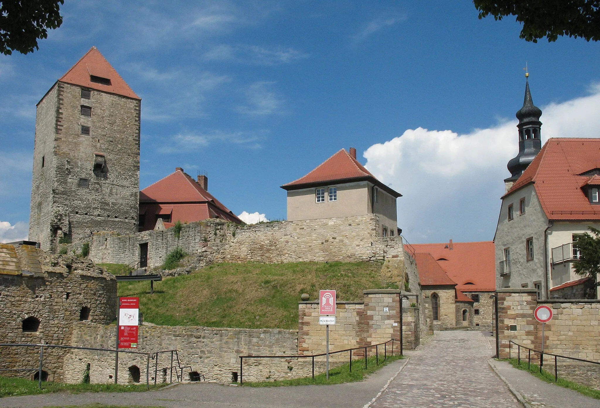
QuerfurtTownQuerfurt is a historic town with charming cobblestone streets and well-preserved medieval architecture, providing a glimpse into the region's past.
92 km
92 km
Finish: Obhausen Village centerObhausen: Tranquil Road Cycling Exploration
Cycling routes from Obhausen:
Cycling routes nearby: