Lake and Park Exploration
A gravel cycling route starting from Queis
Enjoy a scenic gravel ride through parks and lakes near Queis
Map
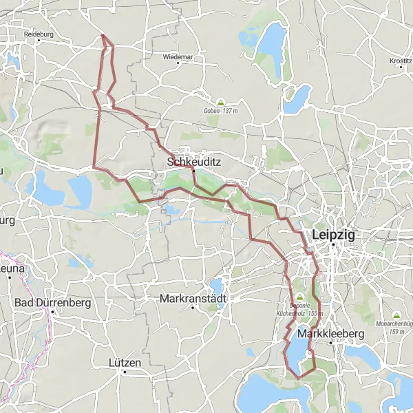
This route takes you on a beautiful gravel ride, exploring the parks and lakes near Queis. With a total distance of 84 km and an ascent of 230 m, it offers a mix of easy and challenging sections. Highlights along the route include Gottenz, a picturesque village known for its charming architecture, and Cospudener See, a stunning lake surrounded by lush greenery. Don't miss out on riding through Kleinzschocher, a vibrant neighborhood with plenty of restaurants and cafes to refuel. Overall, this route provides a great opportunity to experience the natural beauty and peaceful atmosphere of the area.
gravel
84 km
230 m
Tough
Route profile
Highlights on the route
0 km
0 km
Start: Klepzig Village centerQueis: Scenic countryside location ideal for a peaceful cycling getaway.
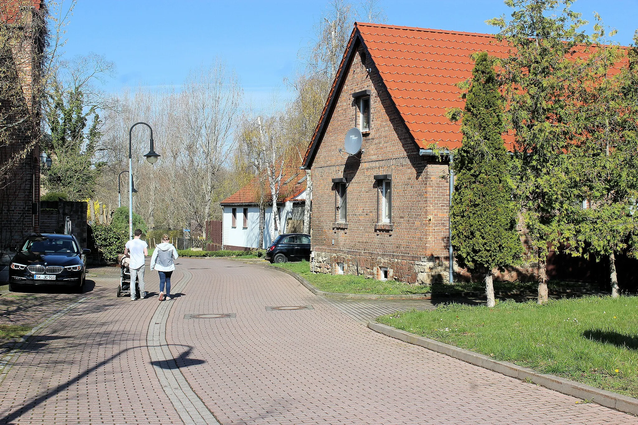
Queis is a locality situated in Sachsen-Anhalt, Germany. While it may not offer a wide range of dedicated cycling routes, Queis does provide rural roads that are suitable for road and gravel cyclists. The area is characterized by its rolling hills and charming countryside, offering a serene and pleasant cycling experience. Additionally, Queis is located near the popular Unstrut Cycle Path, which passes through picturesque landscapes and vineyards. Cyclists visiting Queis can look forward to exploring the tranquil surroundings and taking in the scenic beauty.4 km
4 km
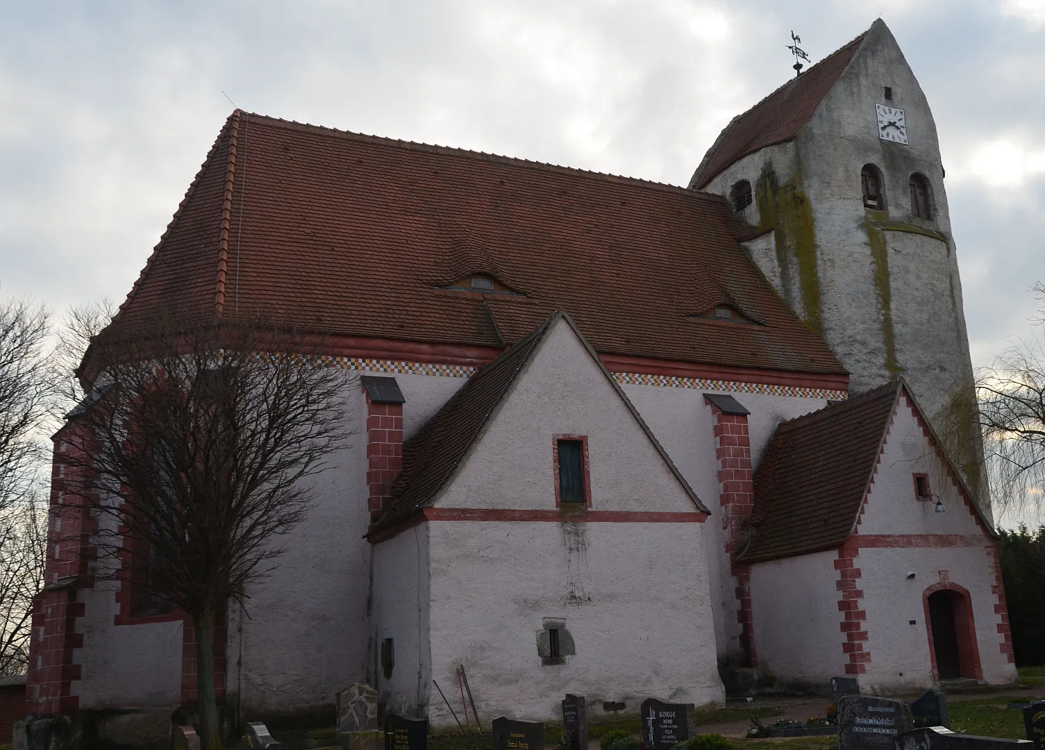
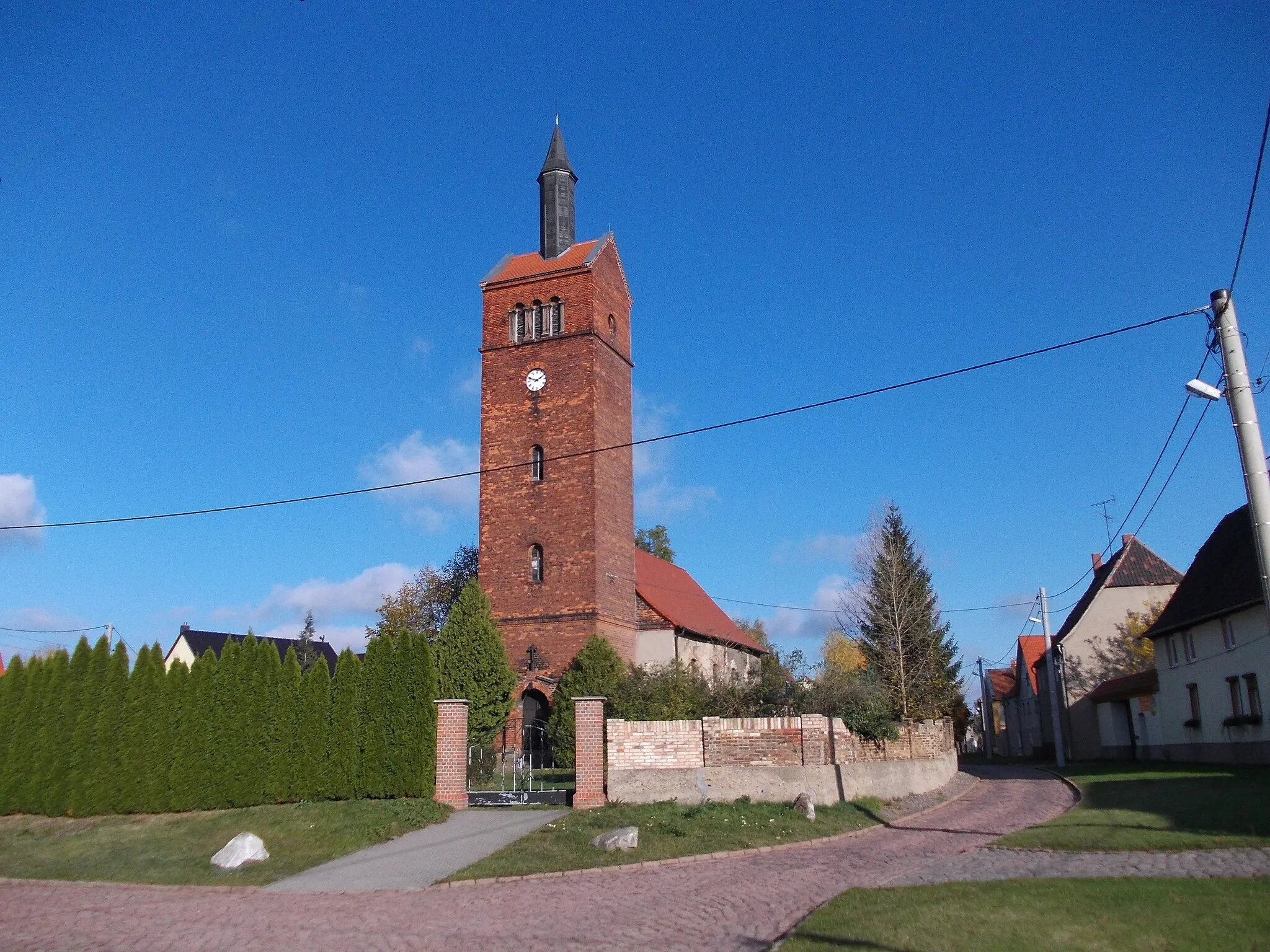
GottenzVillageGottenz is a quaint village with old half-timbered houses and a calm, picturesque atmosphere.
25 km
25 km
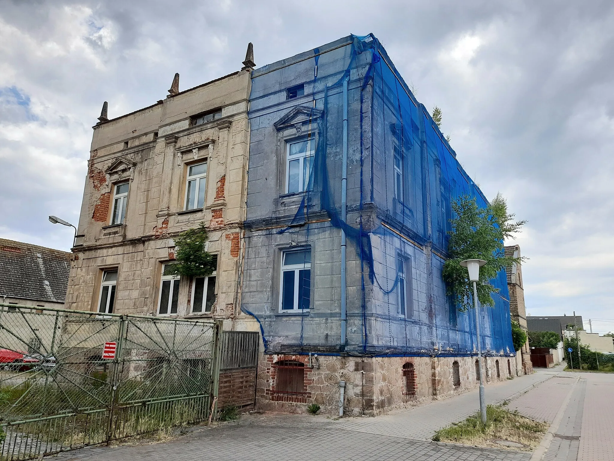
LeutzschSub-urbLeutzsch offers beautiful views of the surrounding countryside and is a great spot for a short break.
32 km
32 km
Fockeberg154 mPeakFockeberg is a small hill with panoramic views of the city and the surrounding landscape.
45 km
45 km
Cospudener SeeLakeCospudener See is a popular recreational area with sandy beaches and crystal-clear water.
51 km
51 km
KleinzschocherSub-urbKleinzschocher is a vibrant neighborhood with a diverse range of restaurants, cafes, and shops.
58 km
58 km
Deponie Jahnstraße119 mPeakDeponie Jahnstraße is a former landfill site that has been converted into a park with walking and cycling paths.
68 km
68 km
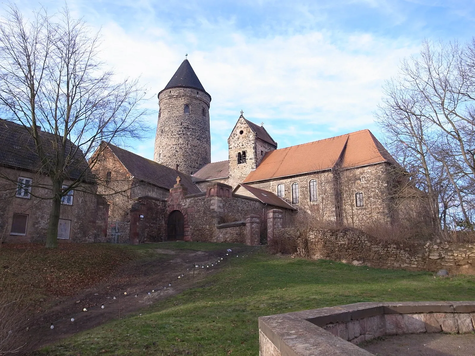
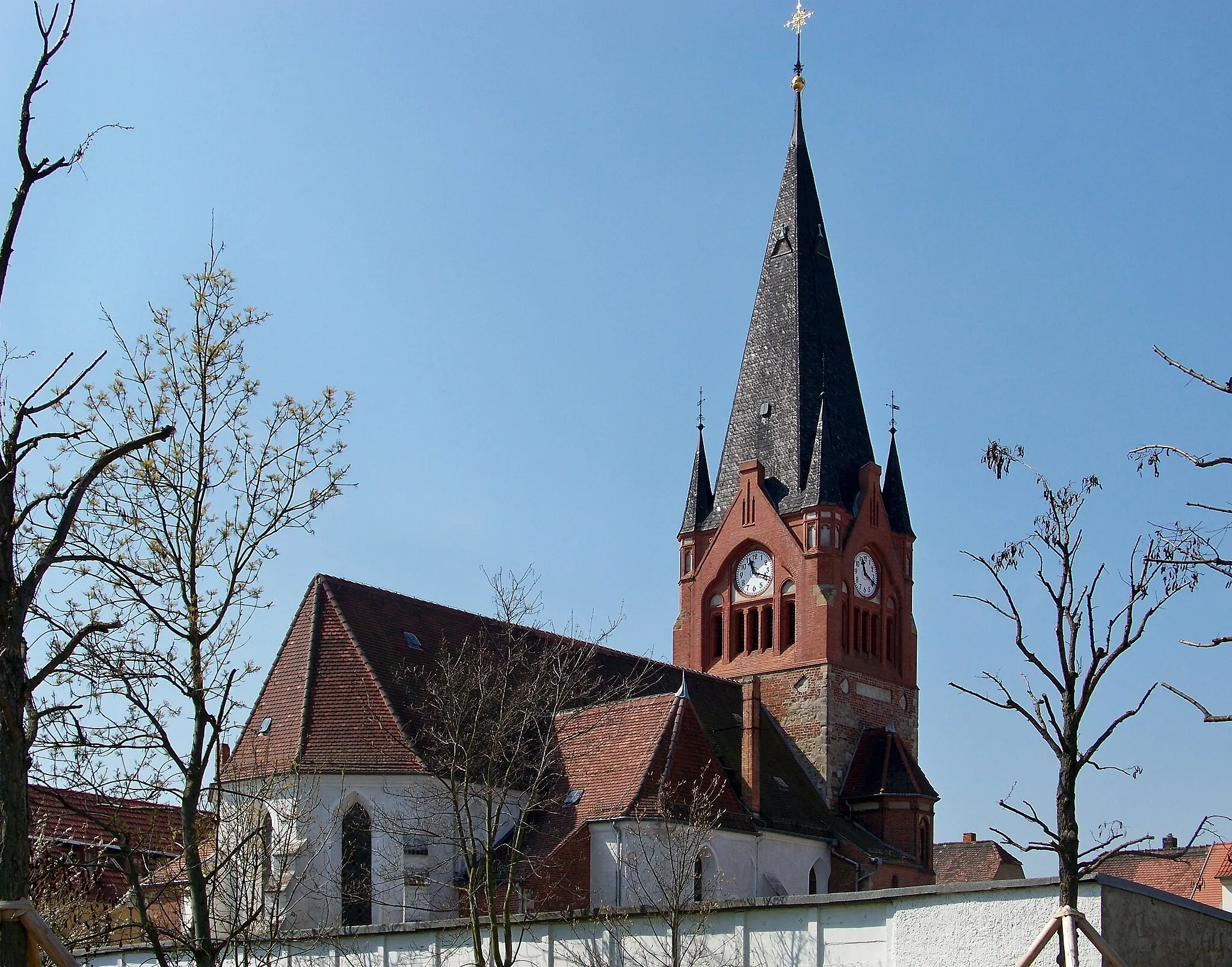
Horburg-MaßlauVillageHorburg-Maßlau is a charming village known for its historic buildings and peaceful atmosphere.
78 km
78 km
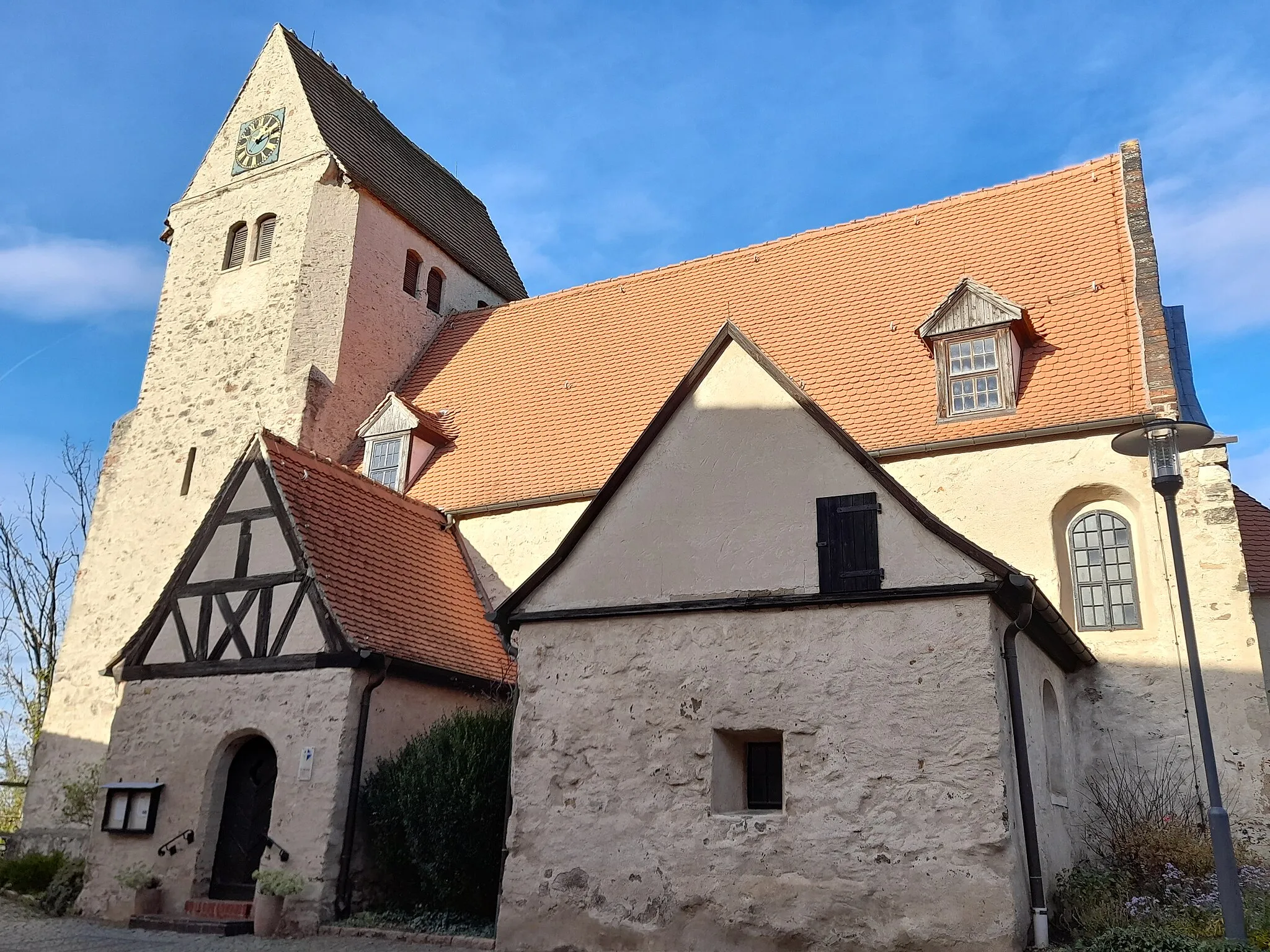
GröbersSub-urbGröbers is a small town with beautiful natural surroundings, including the nearby Gröberner See.
84 km
84 km
Finish: Klepzig Village centerQueis: Scenic countryside location ideal for a peaceful cycling getaway.
Cycling routes nearby: