Scenic rides in Sachsen-Anhalt
Cycling routes from Thalheim
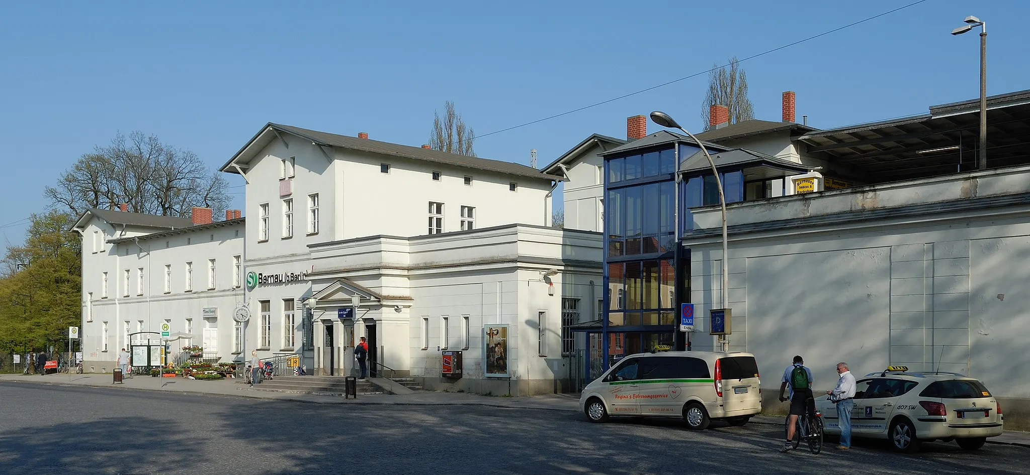
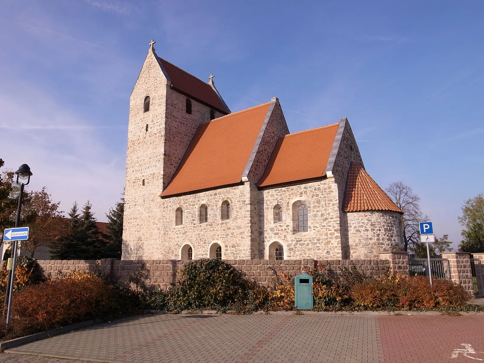
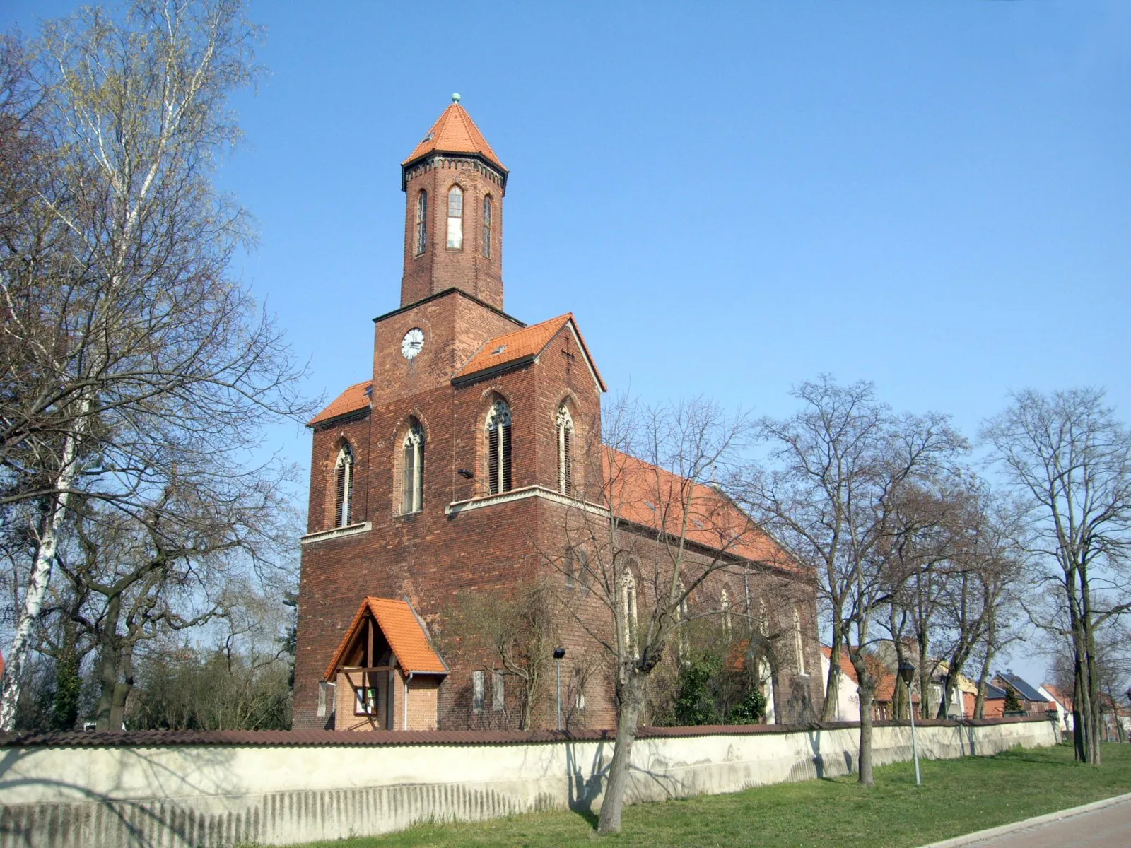
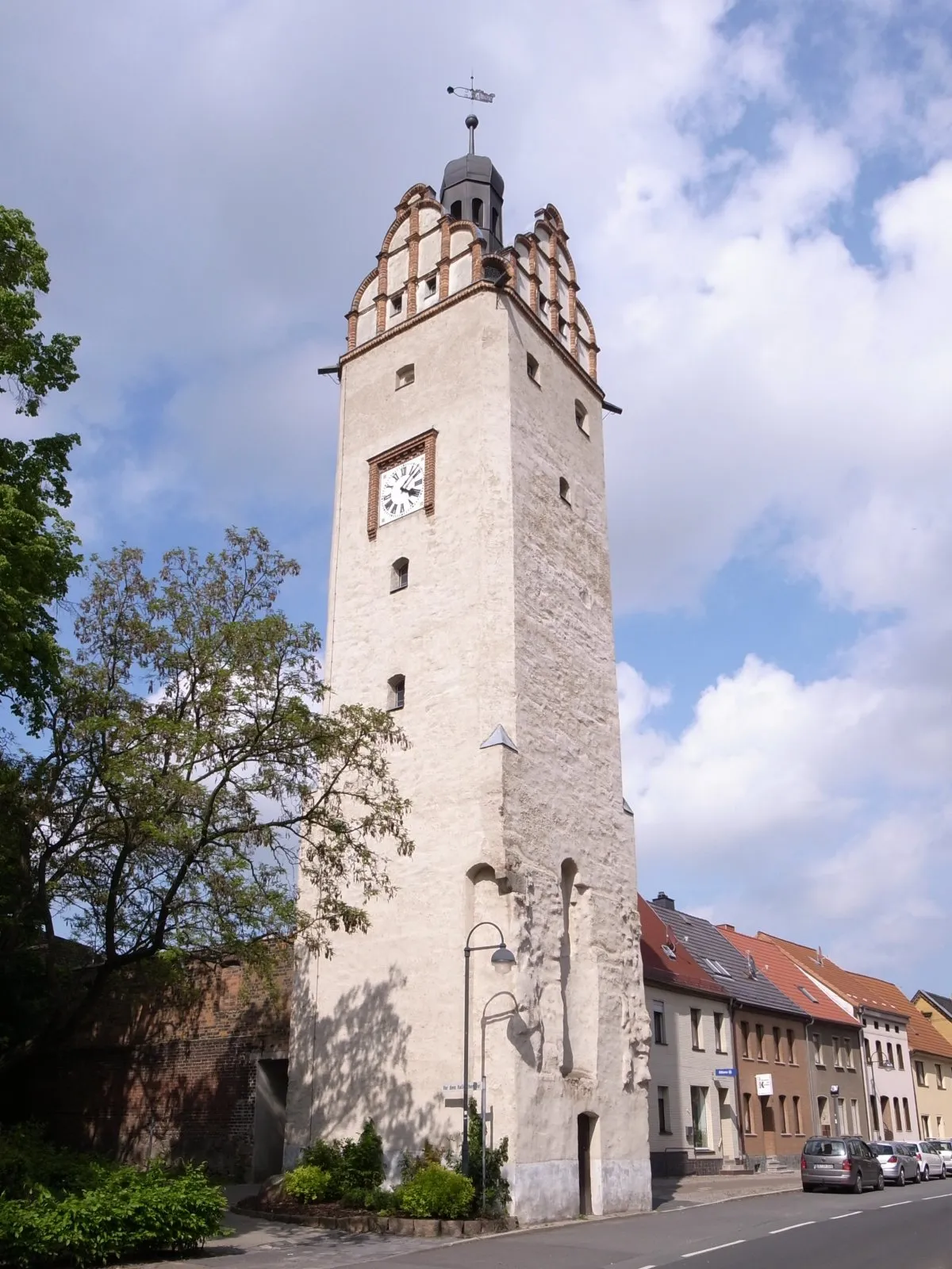
Thalheim is located in Sachsen-Anhalt, Germany. From a cyclist's perspective, the locality offers a mix of flat terrains and rolling hills, providing enjoyable rides for road and gravel cyclists. The roads are well-paved and suitable for cycling, offering beautiful countryside views along the way. While Thalheim may not have any famous cycling-related spots or well-known climbs nearby, it serves as a great base for exploring the surrounding region. Cyclists can discover charming towns, historical sites, and peaceful nature reserves in the area. Thalheim is a cyclist-friendly locality worth visiting.
From quaint villages to stunning landscapes, this gravel cycling route promises a breathtaking journey.
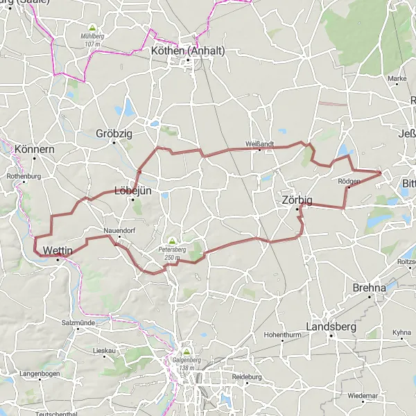
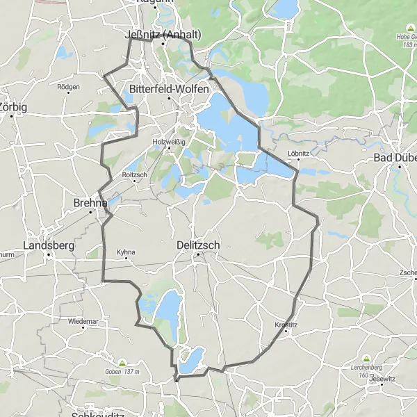
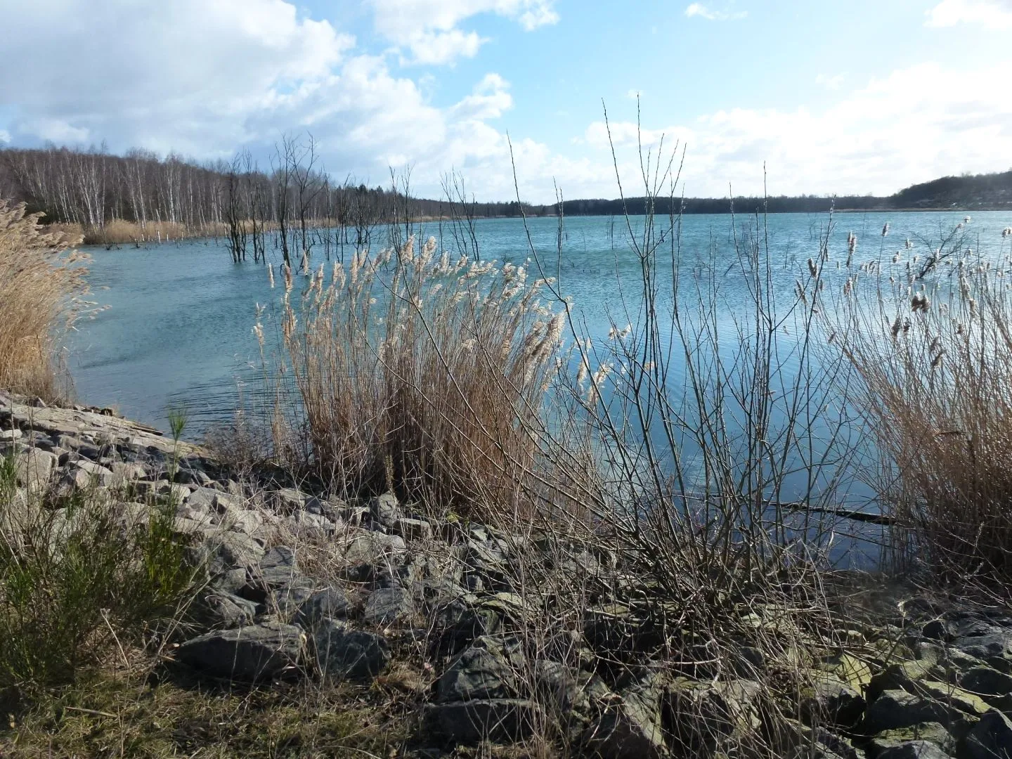
Experience the natural wonders of Saxony-Anhalt on this 86-kilometer gravel cycling route. With an elevation gain of 278 meters, this moderately challenging tour showcases Zörbig, Kütten, Heideberg, Wettin, Bismarckturm Wettin, Domnitz, Rodelberg, Weißandt, Löberitz, and returns to Thalheim. Prepare to be enchanted by the picturesque landscapes, dense forests, and stunning viewpoints along the way. The route offers a perfect balance between nature and cultural heritage, allowing you to connect with Saxony-Anhalt's rich history and breathtaking scenery.
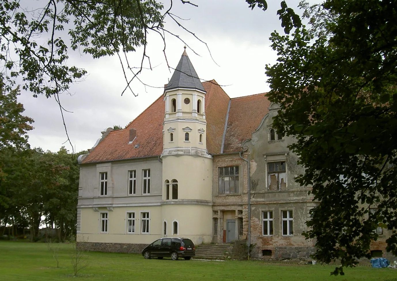
Experience the charm of Tornau vor der Heide
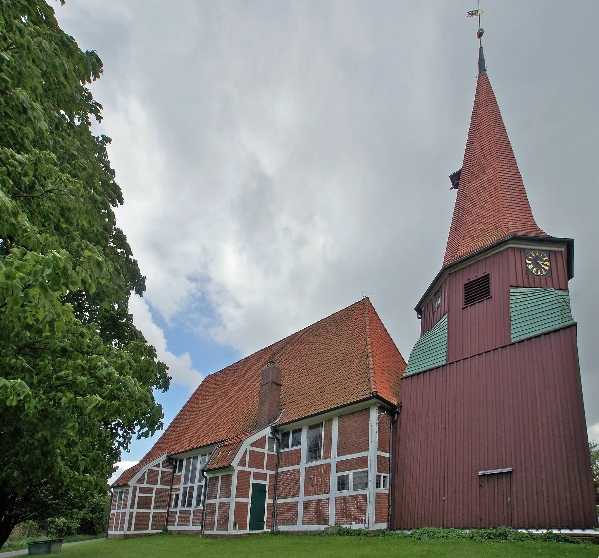
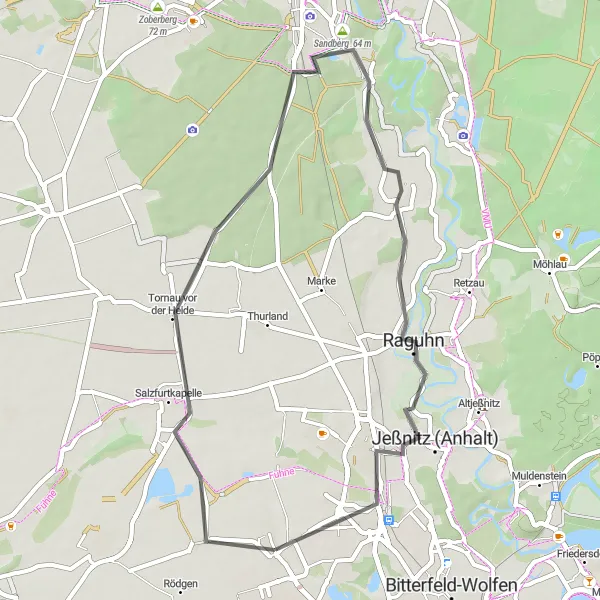
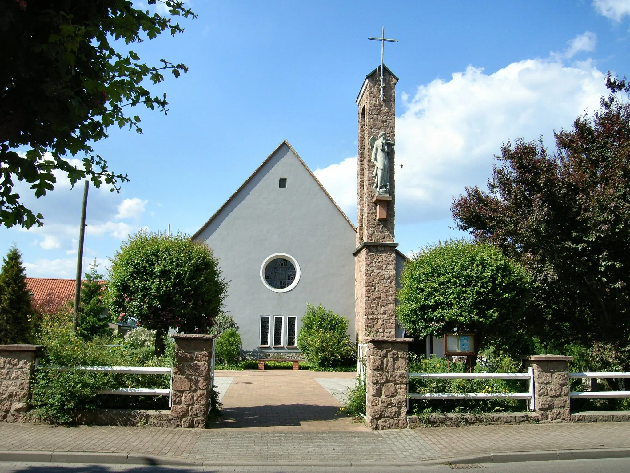
This road cycling route starting near Thalheim takes you through picturesque villages and beautiful countryside. With a distance of 42 kilometers and an ascent of 69 meters, it is suitable for amateur cyclists looking for a leisurely ride. The highlight of this route is the village of Tornau vor der Heide, with its unique architecture and rich history.
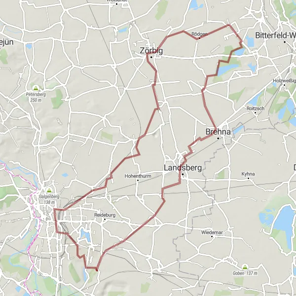
Gravel Adventure
Embark on an exciting gravel cycling adventure
Venture off the beaten path with this gravel cycling route starting near Thalheim. With a distance of 54 kilometers and an ascent of 147 meters, it is suitable for experienced gravel cyclists looking for a challenge. Explore the rugged terrain while enjoying the scenic views of Großzöberitz, Heideberg, and Schortewitz.
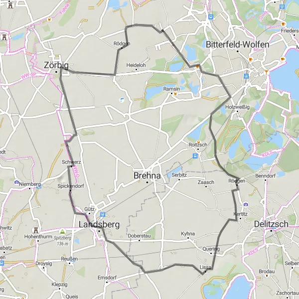
Experience the beauty of Saxony-Anhalt with its charming villages and stunning natural landscapes.
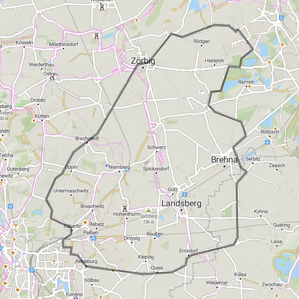
This 79-kilometer gravel cycling route from Thalheim takes you through Saxony-Anhalt's bucolic landscapes and picturesque villages. With a modest ascent of 95 meters, this route is suitable for cyclists of all skill levels. Explore the delights of Brehna, Dieskau, Seeblick, Kleiner Dautzschberg, Braschwitz, Zörbig, and finally, return to Thalheim. Immerse yourself in the serene countryside, where traditional architecture harmonizes with idyllic surroundings. This route promises a truly enjoyable and scenic cycling experience.
Embark on an exciting road cycling journey through the diverse landscapes near Thalheim.
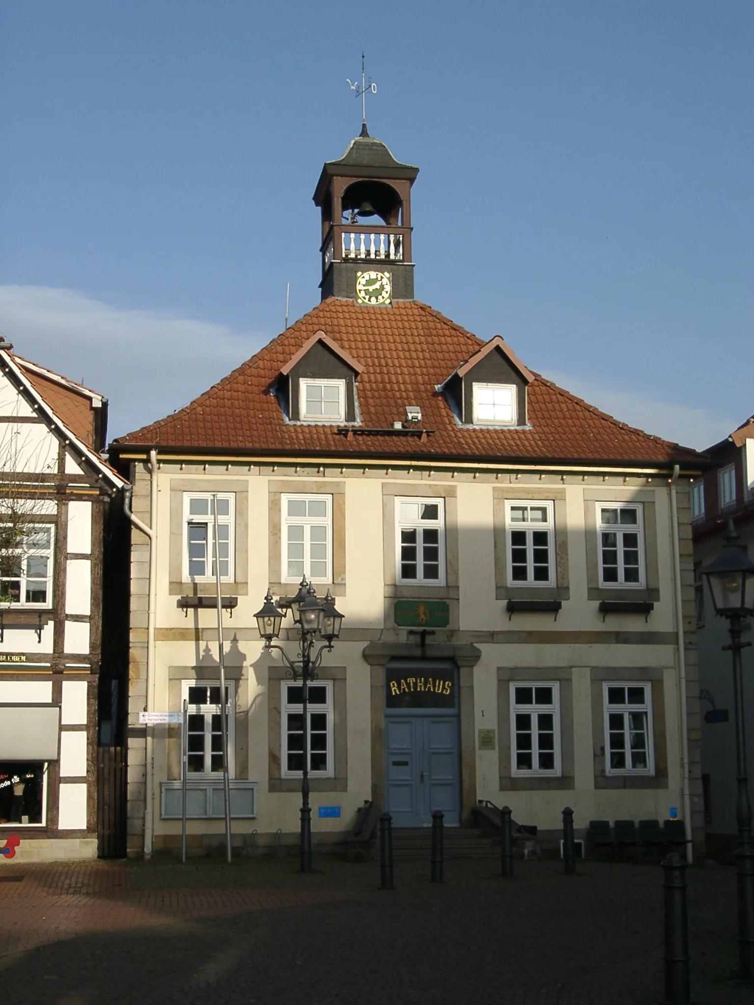
The Petersroda Adventure is a road cycling route that covers a distance of 59 kilometers, with a manageable elevation gain of 45 meters. Suitable for both beginners and intermediate cyclists, this route offers a mix of scenic countryside and charming villages. Highlights along the way include Petersroda, Gollma, Schwerz, Zörbig, and Zschepkau. Cyclists can expect a pleasant and relaxing ride through picturesque surroundings.
Merseburg Loop

Discover the historical city of Merseburg
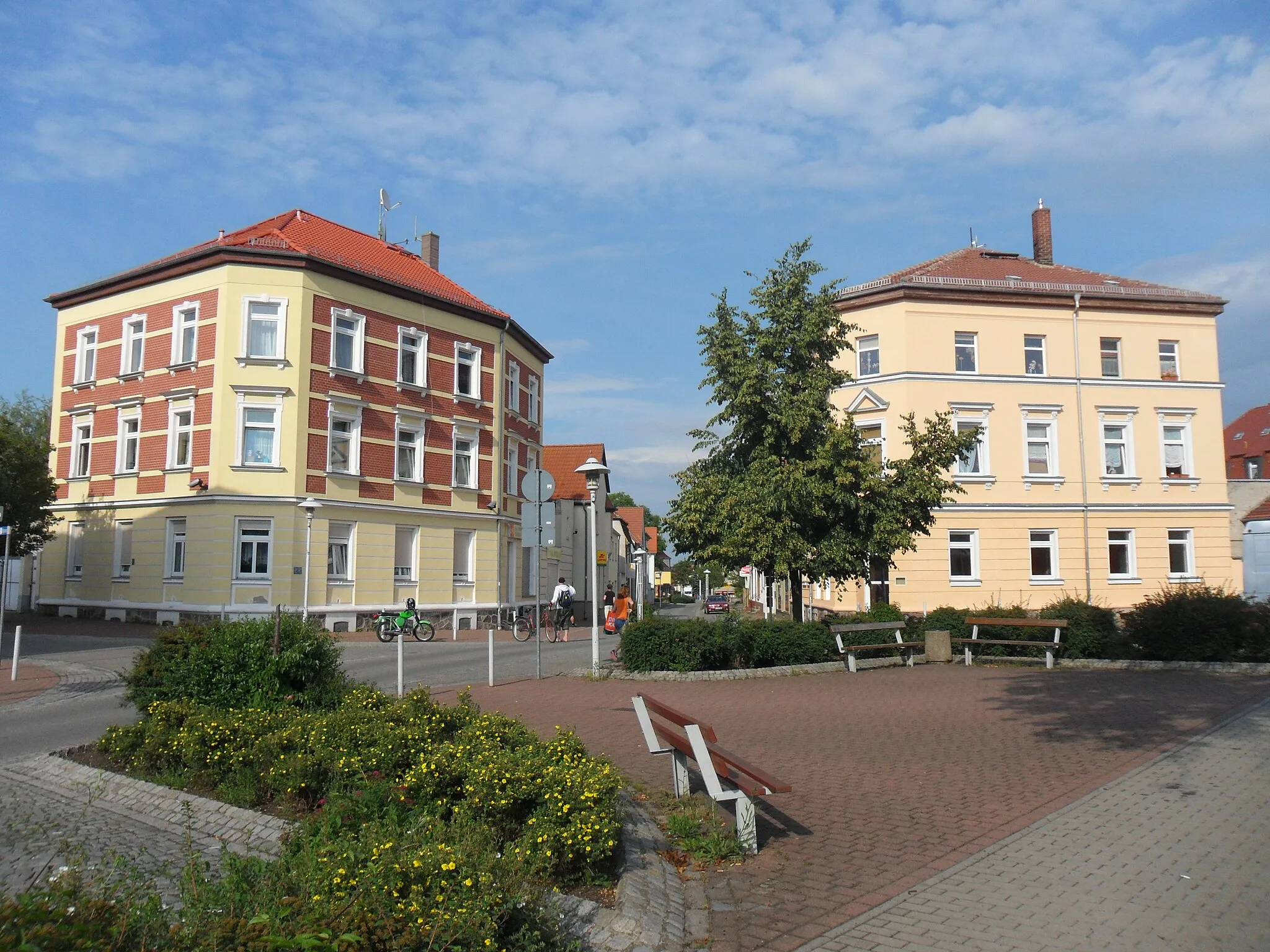
Embark on this road cycling route from Thalheim and explore the rich history and cultural heritage of Merseburg. With a distance of 102 kilometers and an ascent of 218 meters, this route is recommended for experienced cyclists looking for a challenge. The highlight of this route is Merseburg, with its stunning cathedral and enchanting old town.
Glebitzsch Loop
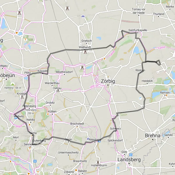
Explore the beautiful landscape surrounding Thalheim on this scenic road cycling route.
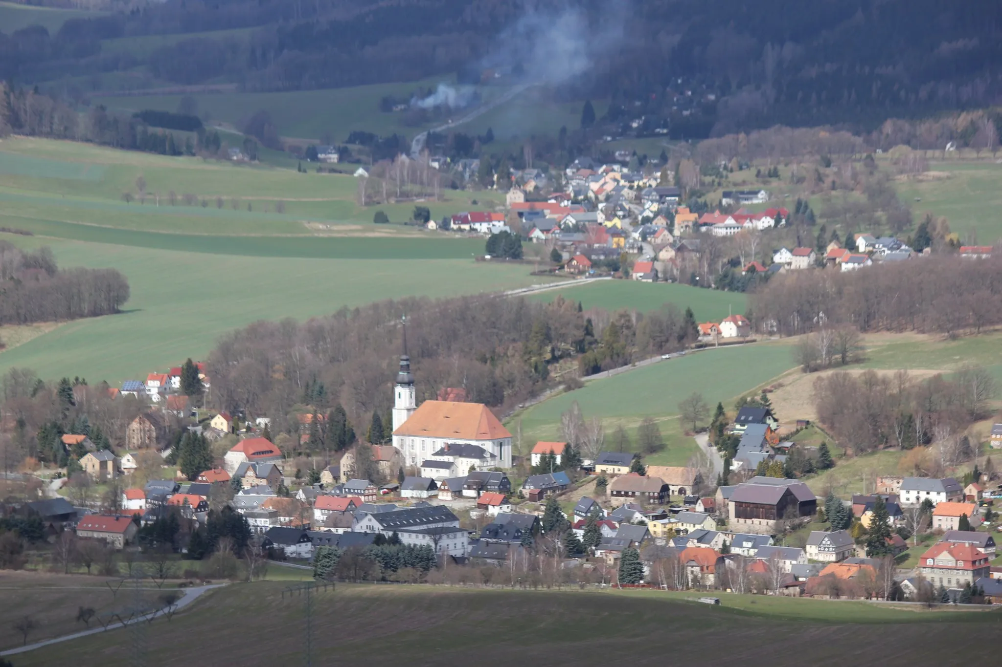
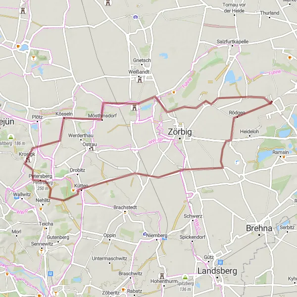
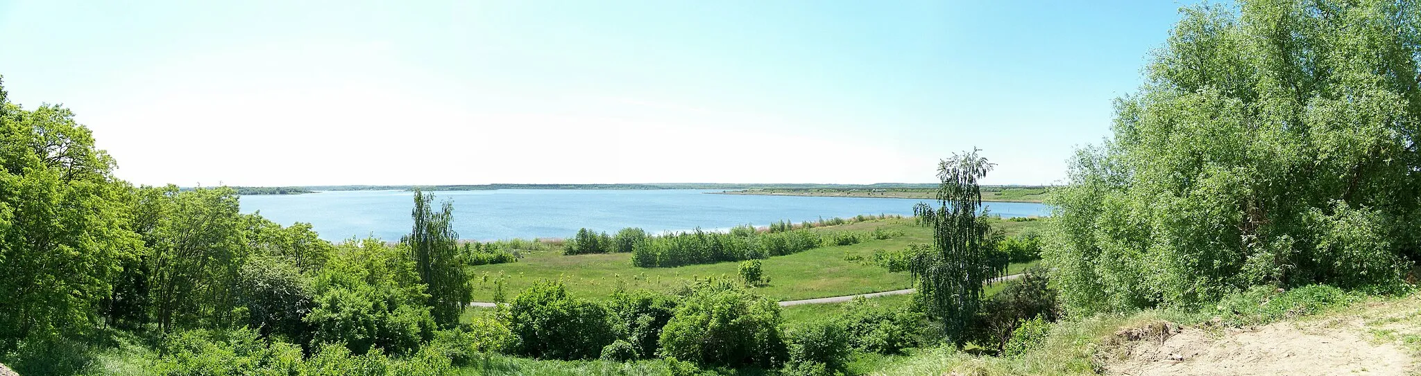
The Glebitzsch Loop offers a picturesque road cycling experience through the stunning countryside near Thalheim, Sachsen-Anhalt. With a total distance of 74 kilometers and an elevation gain of 177 meters, this route is suitable for experienced amateur cyclists. The highlight of this route is the Rodelberg, a 51-meter high hill offering breathtaking views of the surrounding area. Other noteworthy highlights include Glebitzsch, Burgstetten, Oppin, Blonsberg, Plötz, and Salzfurtkapelle.
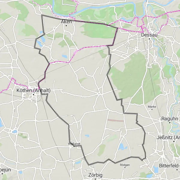
Embark on a memorable journey through scenic landscapes and discover historical treasures.
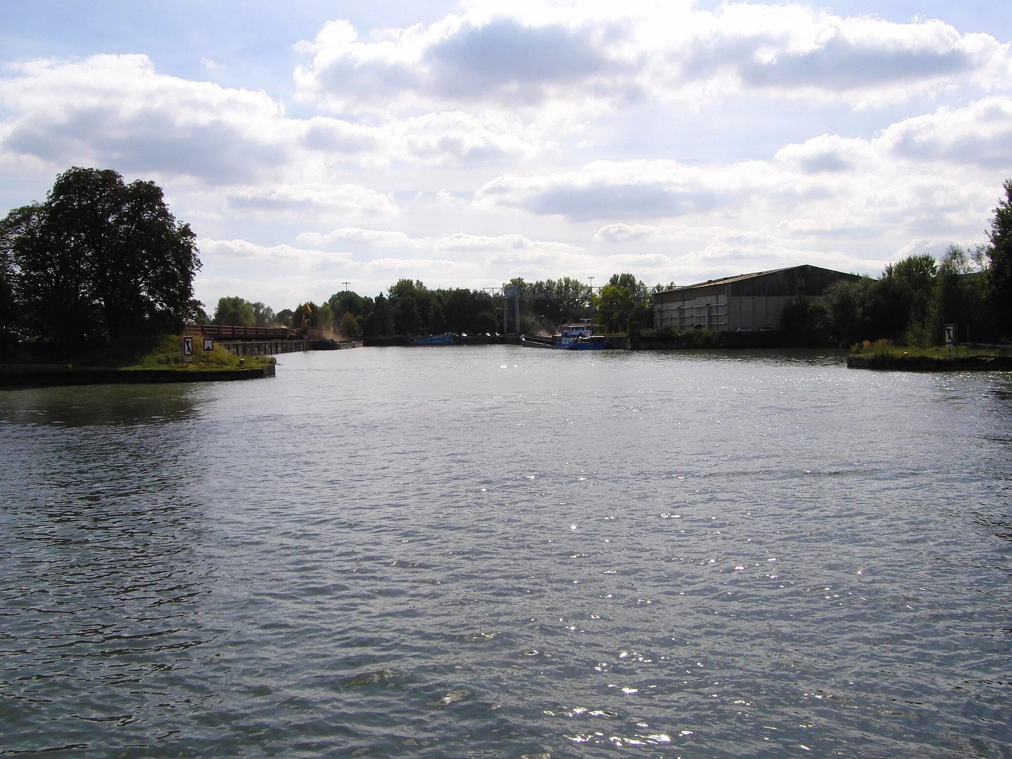
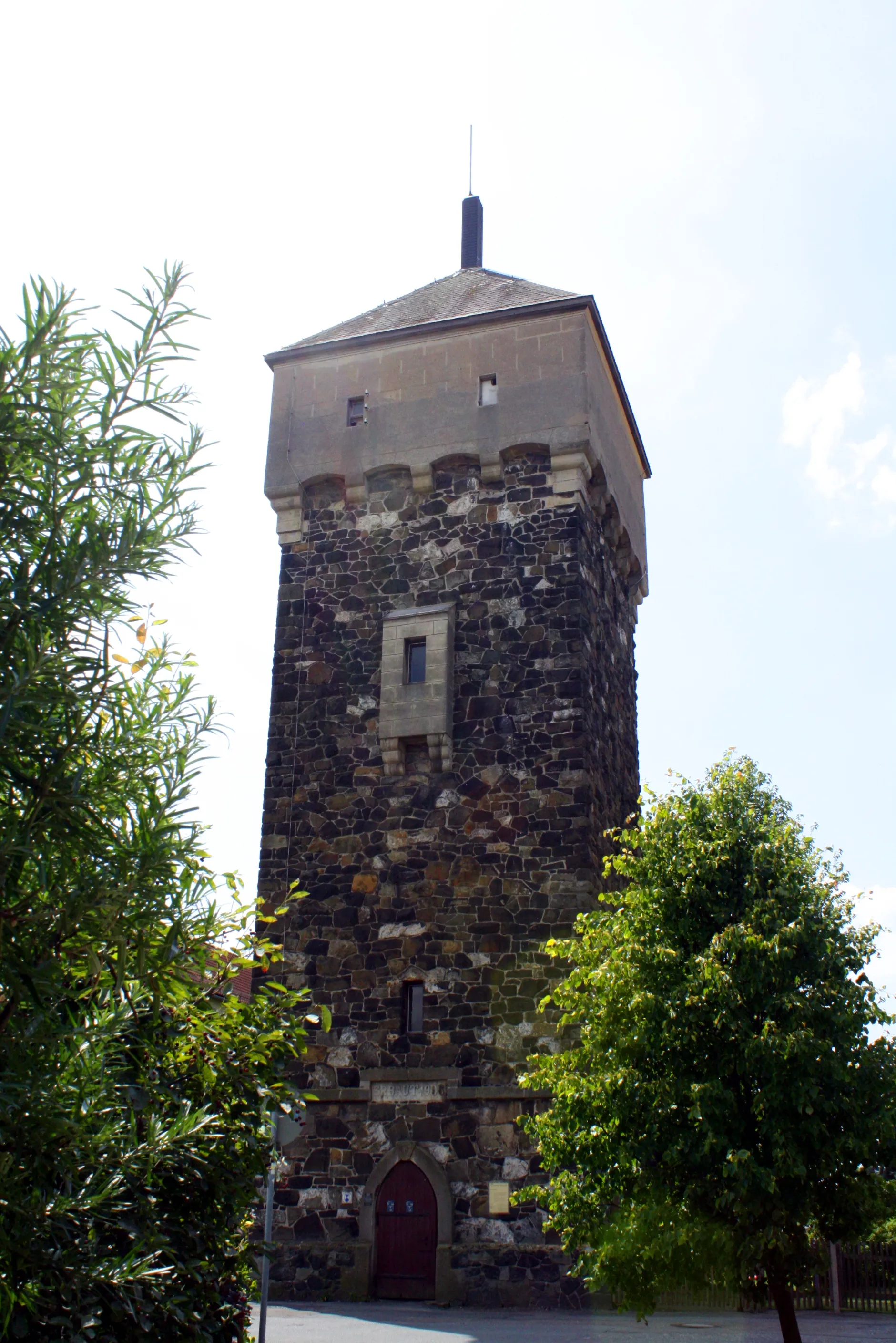
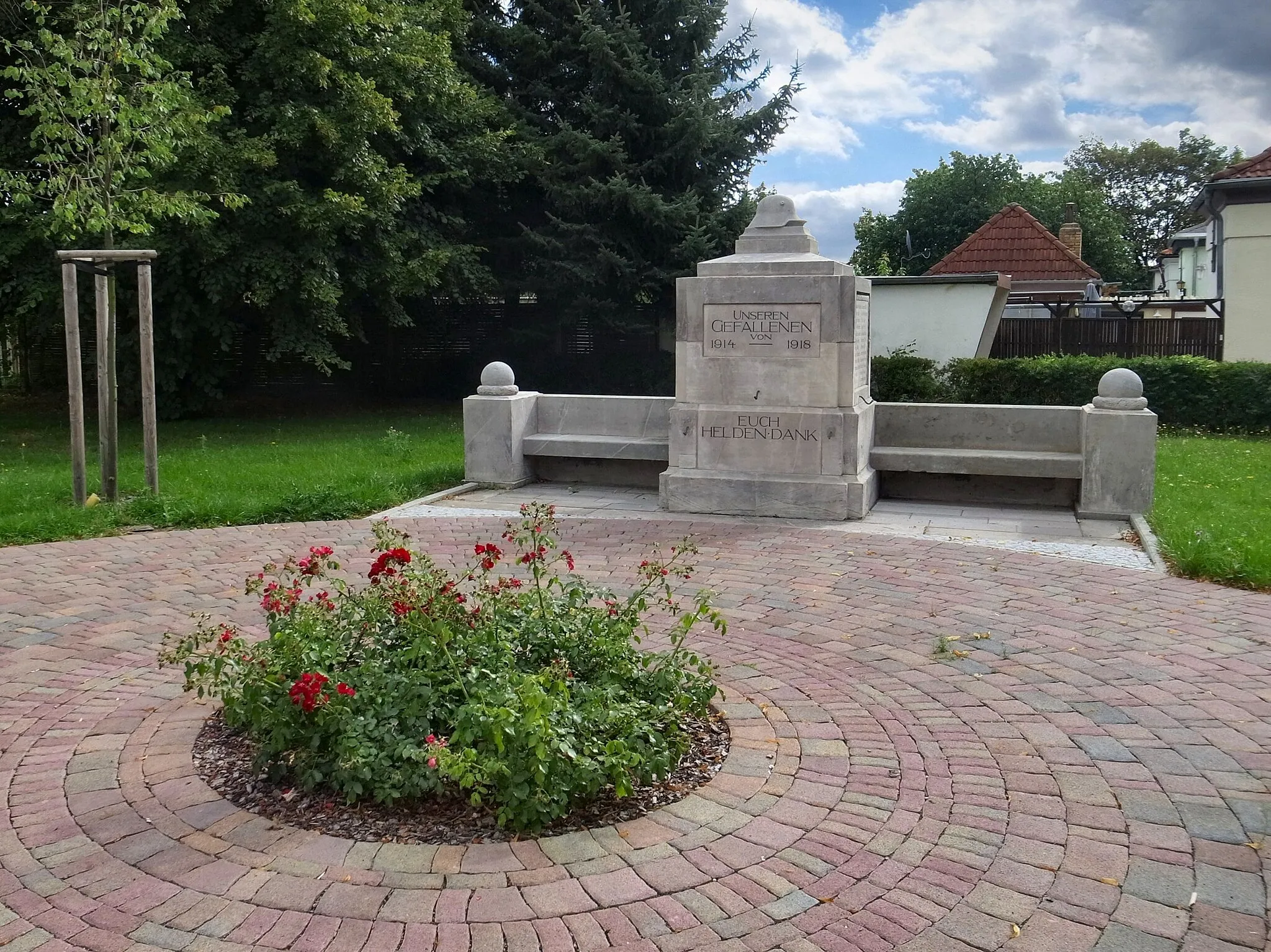
This 82-kilometer round-trip cycling route from Thalheim offers stunning views of the countryside, along with fascinating historic landmarks. With a total ascent of 103 meters, this road cycling tour is suitable for moderately experienced cyclists. Highlights include Weißandt, Großbadegast, Kirche Großbadegast, Blick zum Hafen, Aken, Schloss Mosigkau, Irrgarten Schloss Mosigkau, Tornau vor der Heide, and Reuden, before returning to Thalheim. Enjoy the blend of nature and cultural heritage as you pedal through picturesque landscapes and admire the impressive architecture. The route offers a great mix of adventure and history.
Conquer the epic Muldensteiner Berg
Take on the ultimate cycling challenge with this road cycling route that includes the legendary Muldensteiner Berg. With a distance of 90 kilometers and an ascent of 123 meters, this route is recommended for experienced cyclists seeking an adrenaline-filled adventure. The highlight of this route is the Muldensteiner Berg, known for its steep inclines and breathtaking views.
Uncover the hidden gems of Thalheim's countryside
This road cycling route takes you on a journey through the scenic heartland near Thalheim. With a distance of 69 kilometers and an ascent of 100 meters, it is suitable for cyclists of moderate skill levels. The route showcases the beauty of Glebitzsch, Sietzsch, and Reideburg, among others.
Cycling routes nearby:

Nearby regions: