The Mining Legacy
A gravel cycling route starting from Zschornewitz
Explore the fascinating mining heritage of Sachsen-Anhalt on this gravel cycling route.
Map
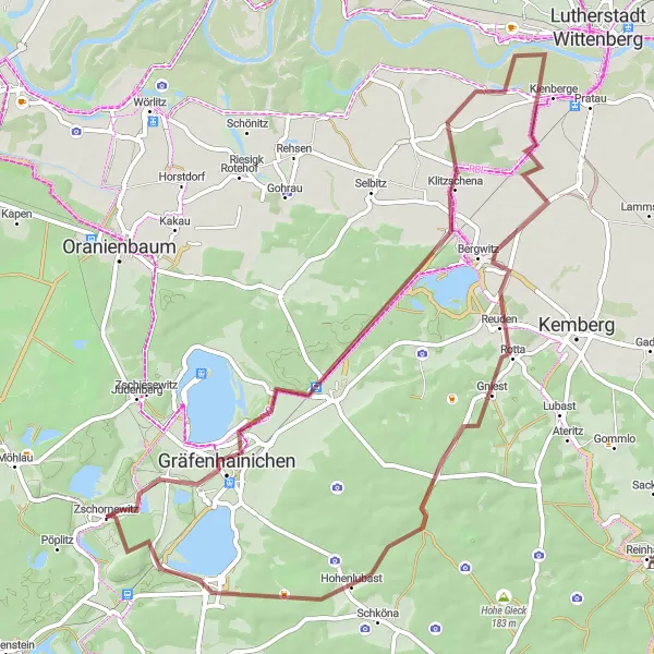
Uncover the secrets of Sachsen-Anhalt's mining past on this 62 km gravel cycling route starting near Zschornewitz. Journey through idyllic landscapes, connecting mining towns, and witness the remnants of the region's illustrious mining history.
gravel
62 km
199 m
Tough
Route profile
Highlights on the route
0 km
0 km
Start: Zschornewitz Village centerZschornewitz: Cycling through the serene countryside of Sachsen-Anhalt.
Zschornewitz in Sachsen-Anhalt, Germany is a pleasant locality for road and gravel cyclists. The area features scenic countryside roads and peaceful surroundings, making it ideal for relaxed rides. While there might not be any famous cycling-related spots nearby, Zschornewitz offers tranquility and a chance to explore the beautiful German landscapes on two wheels.0 km
0 km
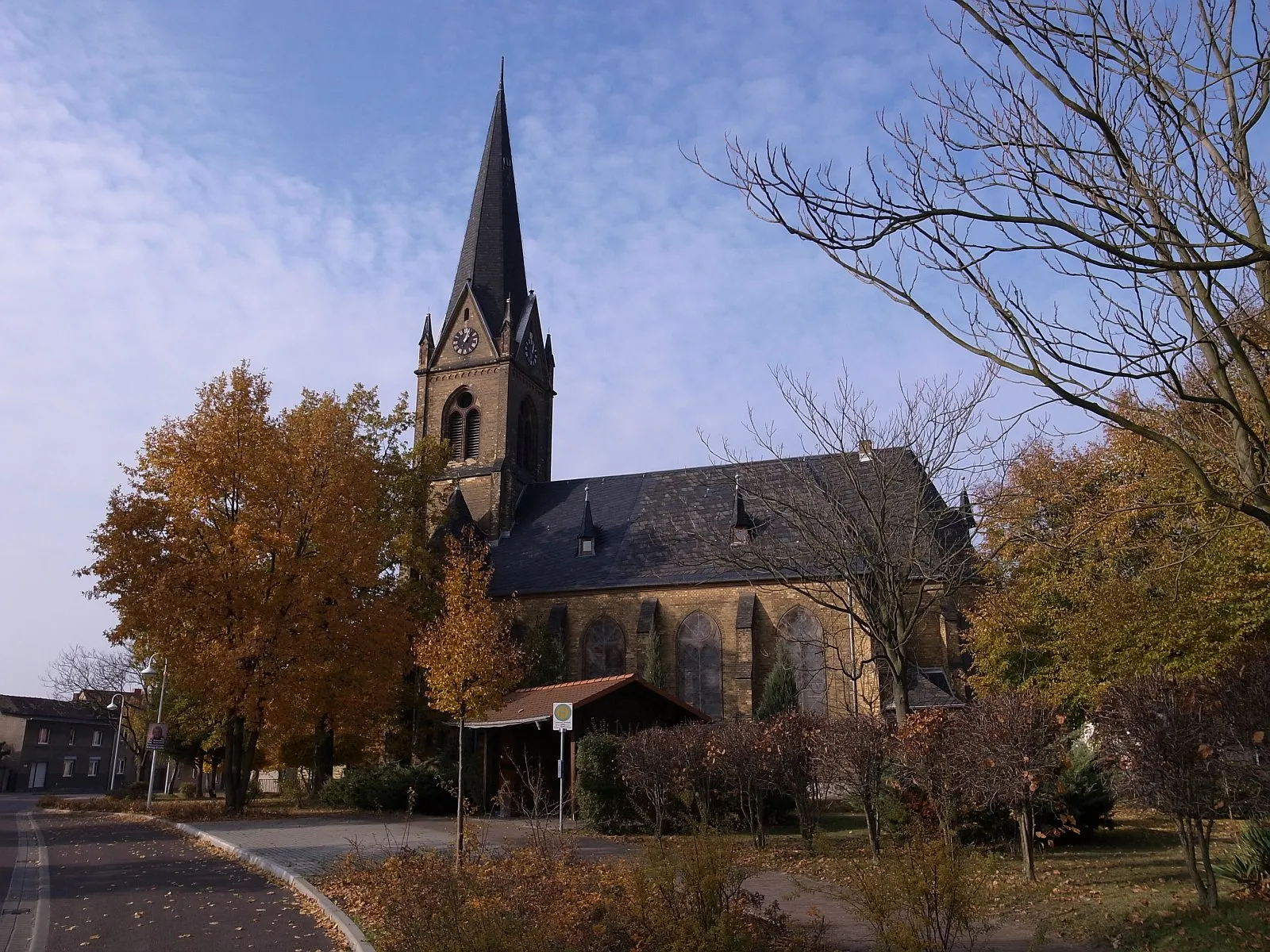
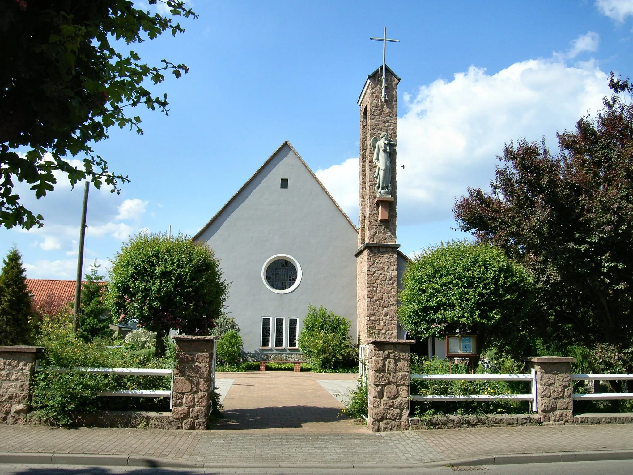
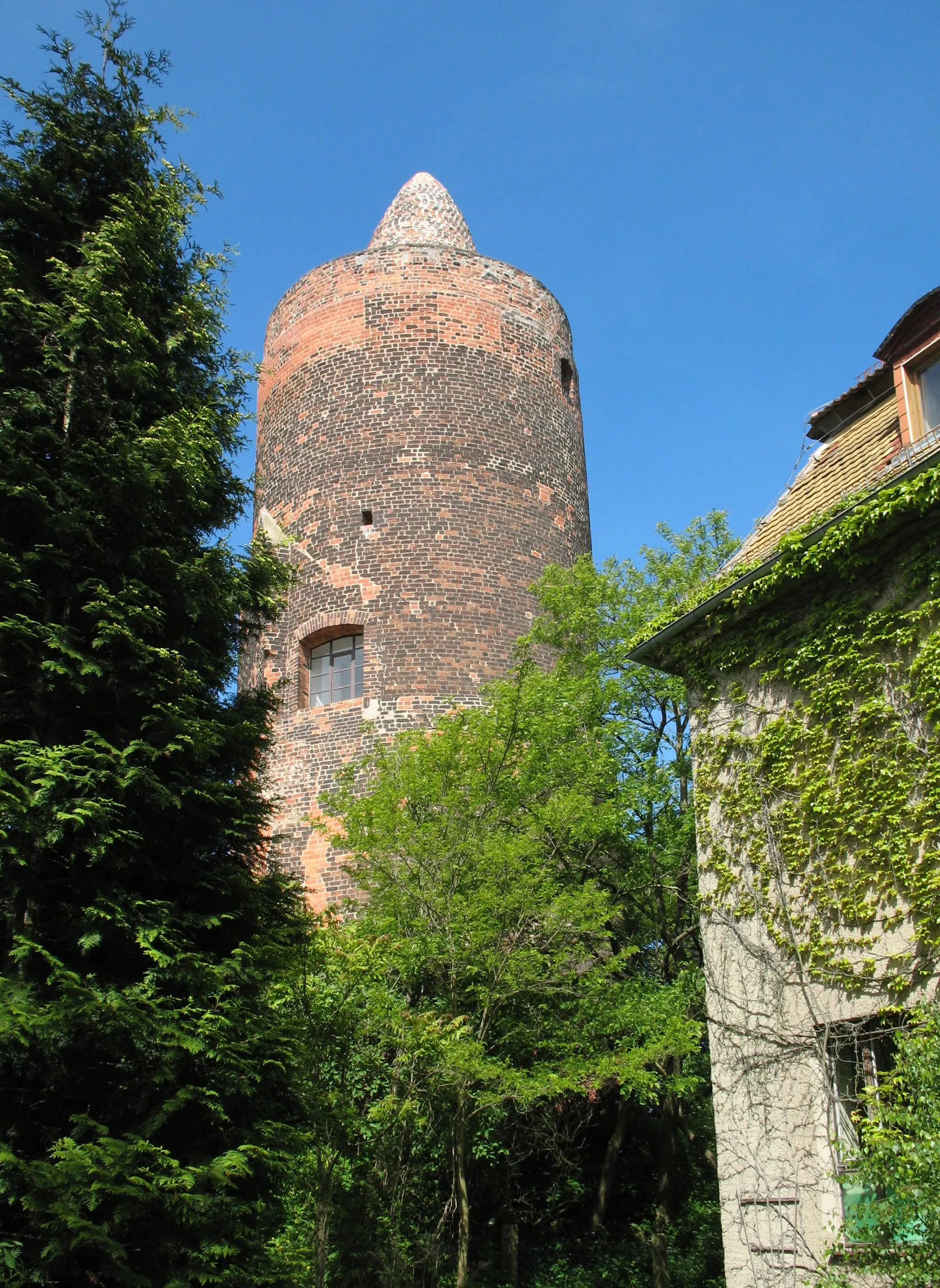
ZschornewitzVillageBegin your journey from Zschornewitz, a small village with deep roots in the region's mining legacy.
22 km
22 km
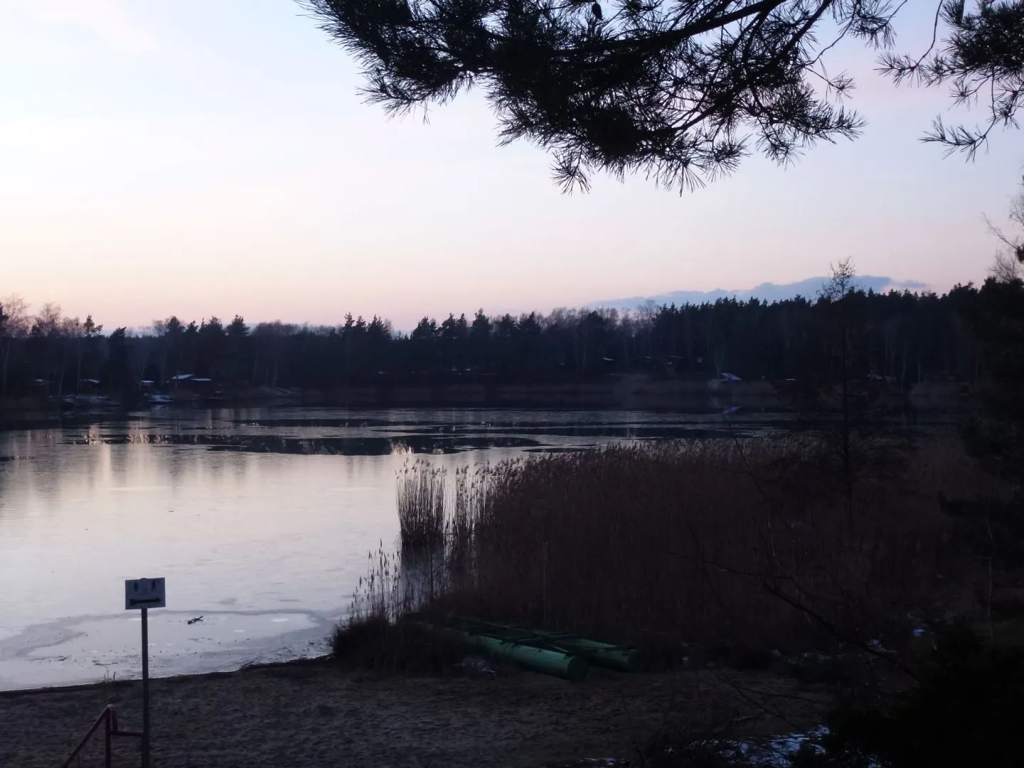
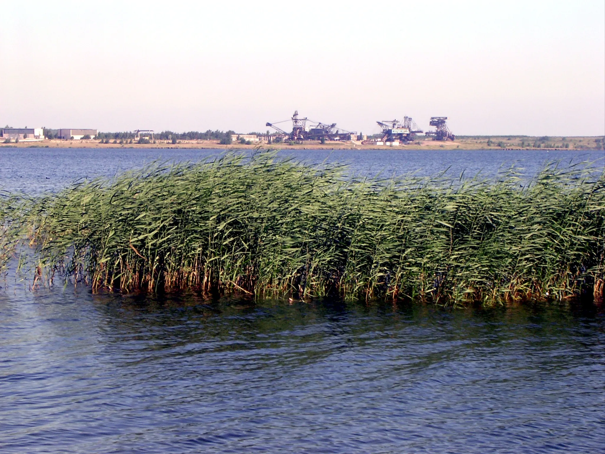
Reudener GrubeViewpointExplore the Reudener Grube, a former open-pit lignite mine converted into a stunning recreational area.
25 km
25 km
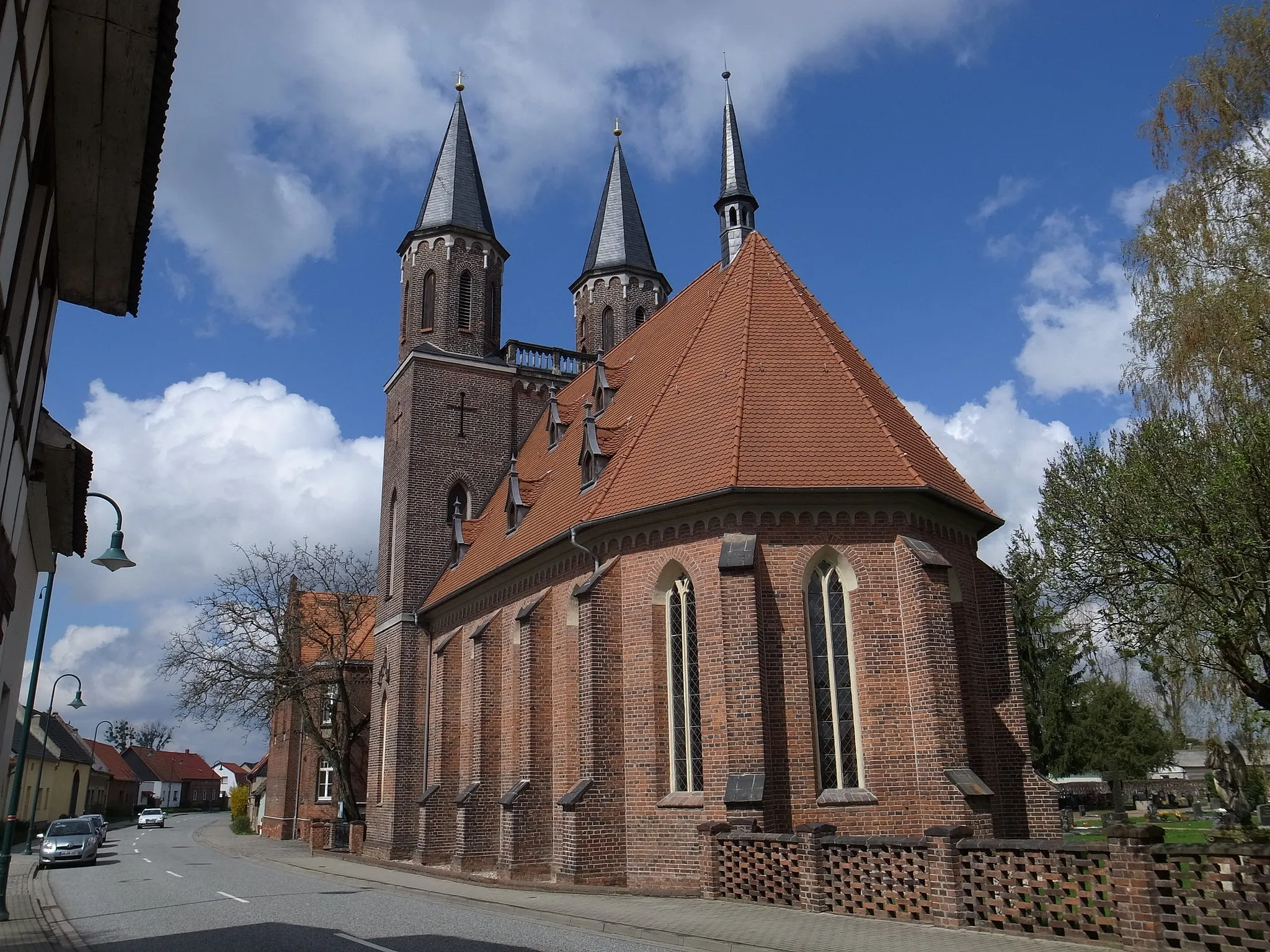
BergwitzVillageCycle through Bergwitz, a peaceful town surrounded by lush forests and charming natural landscapes.
35 km
35 km
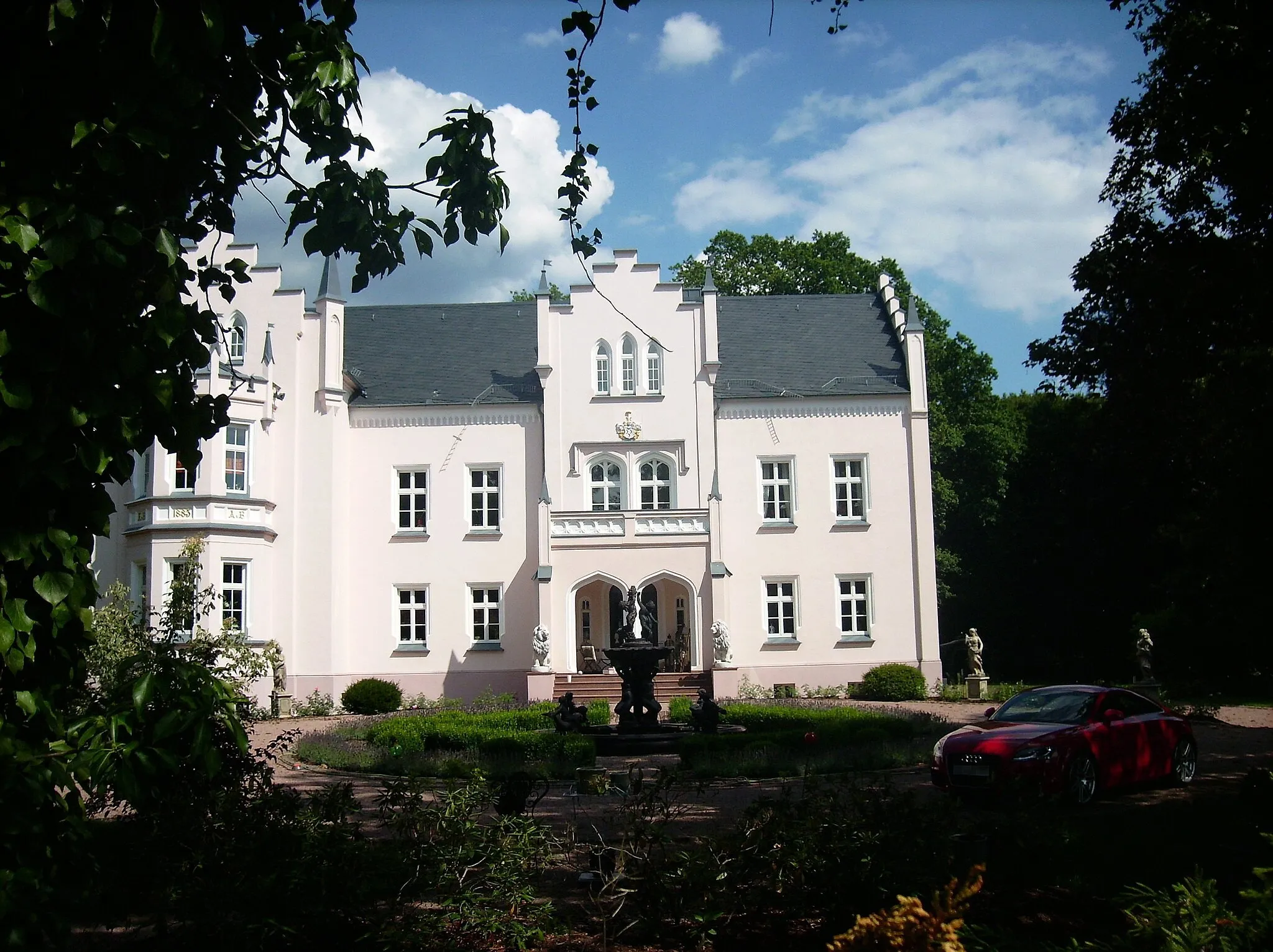
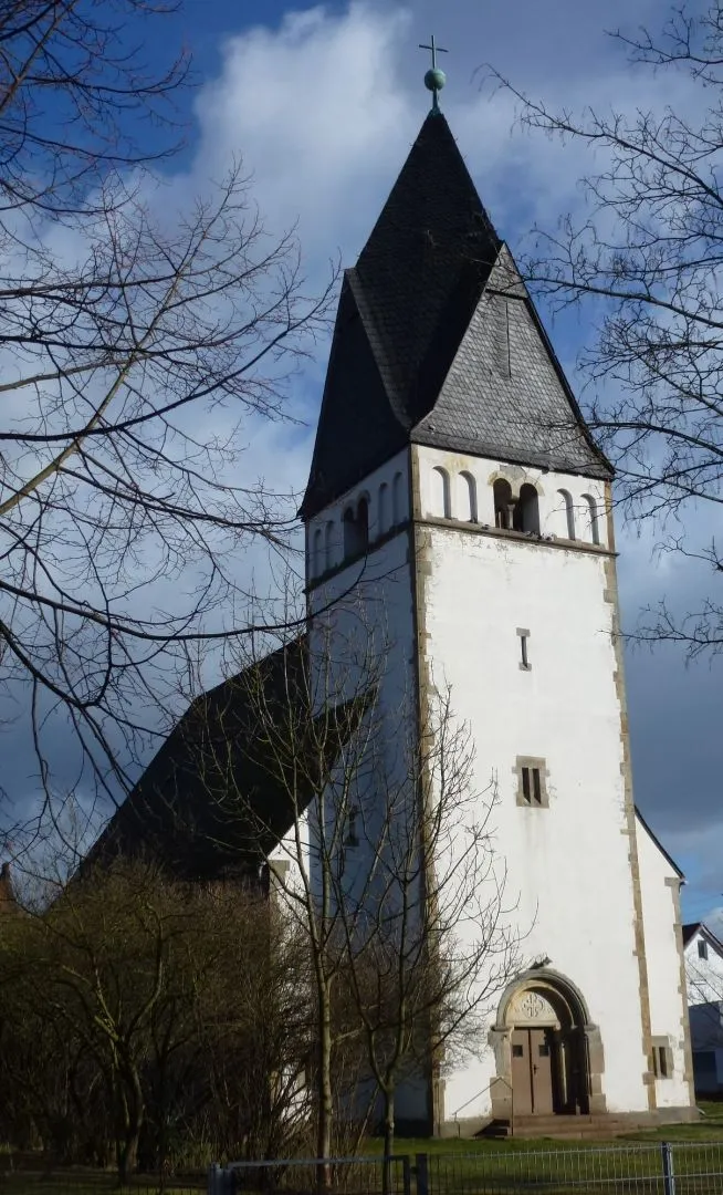
KleinwittenbergSub-urbAdmire the beauty of Kleinwittenberg, a tranquil town perched above the Elbe river.
35 km
35 km
ElbeViewpointEnjoy breathtaking views of the Elbe river, which played a crucial role in the transport of mined resources.
51 km
51 km
RadisSub-urbPass through Radis and discover its hidden gems, from enchanting lakes to untouched nature reserves.
56 km
56 km
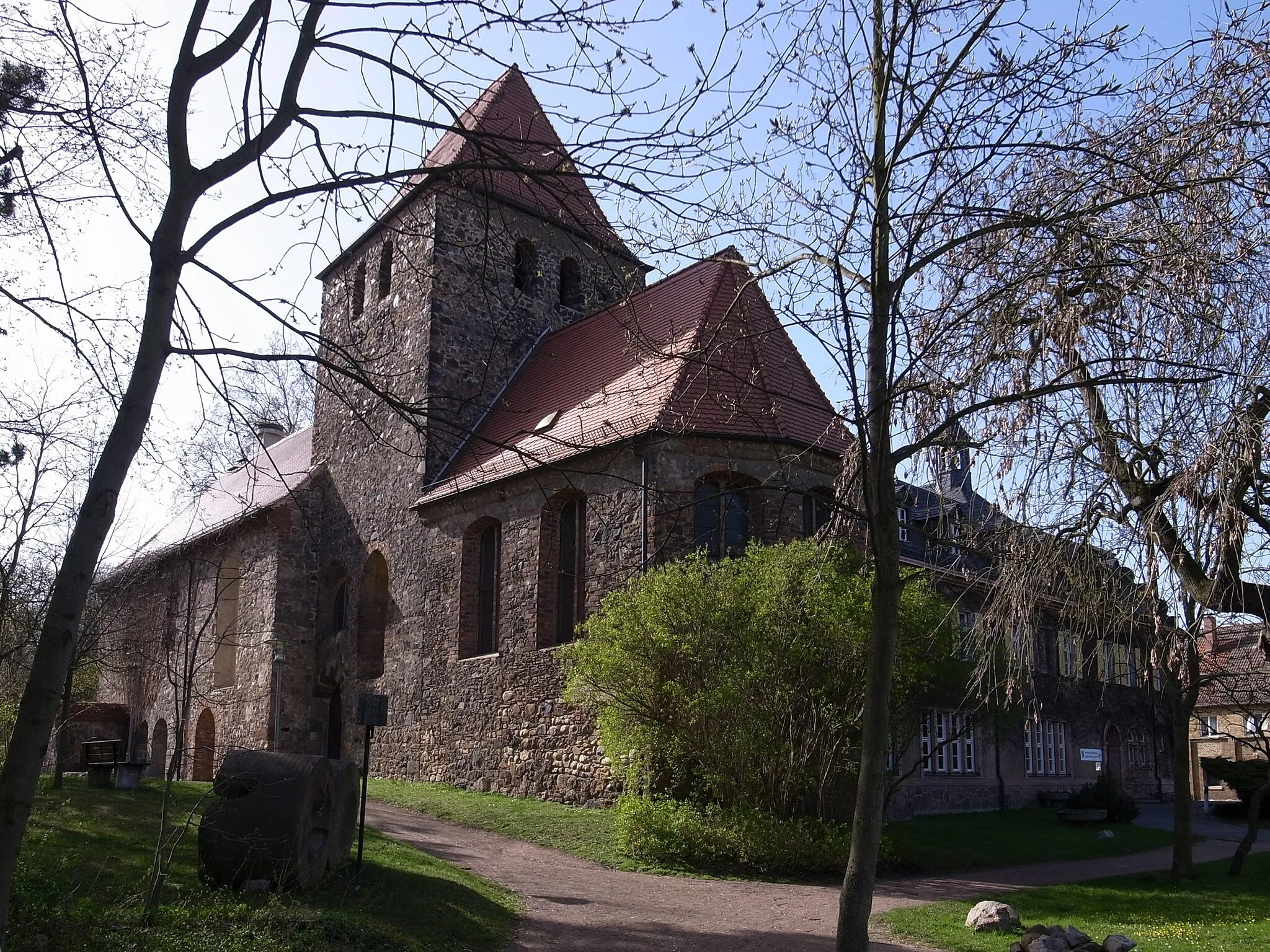
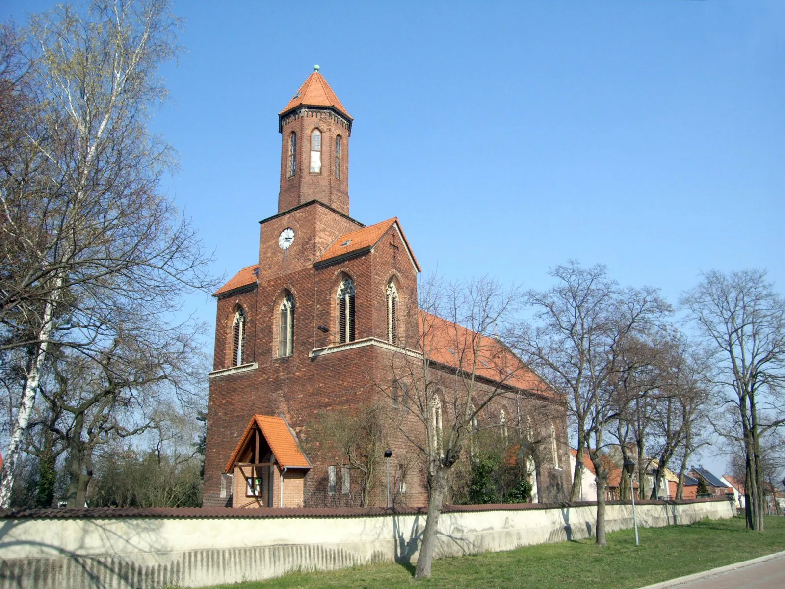
GräfenhainichenTownVisit Gräfenhainichen, where remnants of the region's mining infrastructure blend seamlessly with the scenic landscapes.
57 km
57 km
StadtbalkonViewpointExperience the natural beauty of the Stadtbalkon, a perfect vantage point for capturing sweeping views of Sachsen-Anhalt.
62 km
62 km
Finish: Zschornewitz Village centerZschornewitz: Cycling through the serene countryside of Sachsen-Anhalt.
Cycling routes from Zschornewitz:
Cycling routes nearby: