Bimöhlen Nature Trail
A gravel cycling route starting from Lentfohrden
Experience the beauty of nature on the Bimöhlen Nature Trail
Map
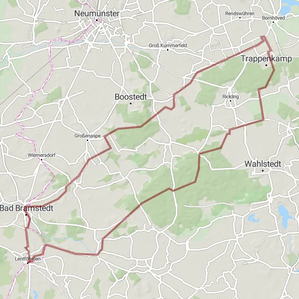
The Bimöhlen Nature Trail is a gravel cycling route that offers a combination of scenic beauty and cultural highlights. This 76-kilometer route features an ascent of 201 meters and is suitable for experienced gravel riders. Starting near Lentföhrden, you'll ride through Bimöhlen, known for its beautiful nature trails and serene atmosphere. The Aussichtsturm Ketelvierth provides a stunning viewpoint where you can admire the surrounding landscapes. The route also includes a visit to Gönnebek, a charming town with historic buildings and a vibrant local community. The Aussichtskanzel Wildschweingehege is another highlight, offering an opportunity to observe wildlife in their natural habitat.
gravel
76 km
201 m
Tough
Route profile
Highlights on the route
0 km
0 km
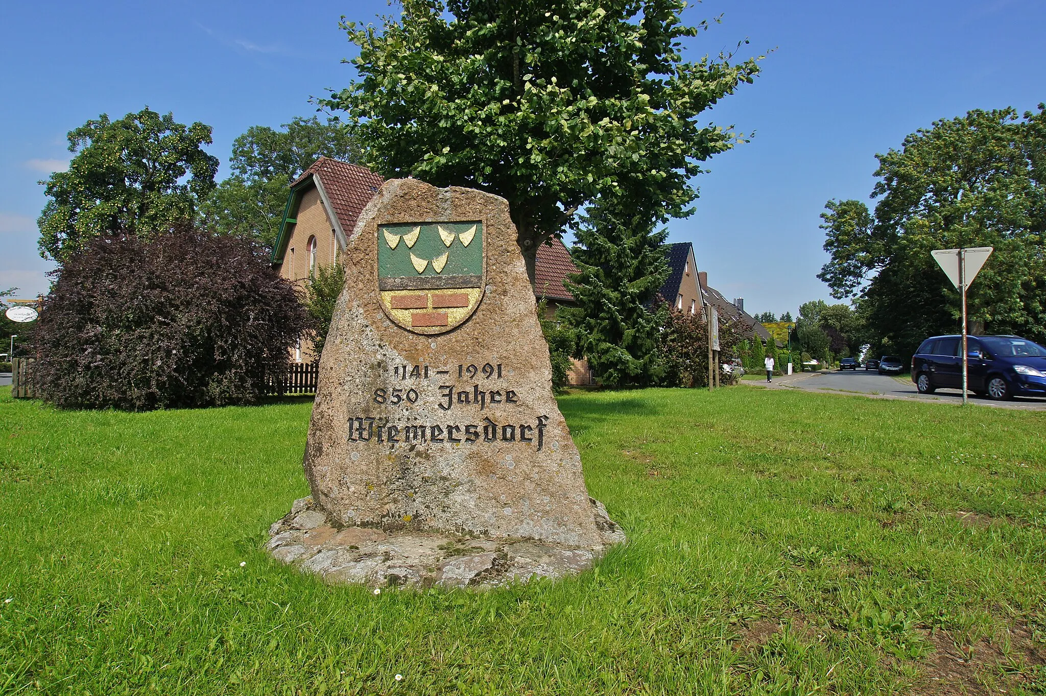
Start: Lentföhrden Village centerLentföhrden: Cycling Through Schleswig-Holstein's Countryside
Lentföhrden in Schleswig-Holstein, Germany is an average cycling locality. While it may not have any famous cycling spots or well-known climbs nearby, the town offers suitable cycling routes for road and gravel cyclists. Cyclists can enjoy riding through the region's peaceful countryside and exploring charming villages along the way. With moderate cycling infrastructure and decent scenery, Lentföhrden receives a rank of 3.12 km
12 km
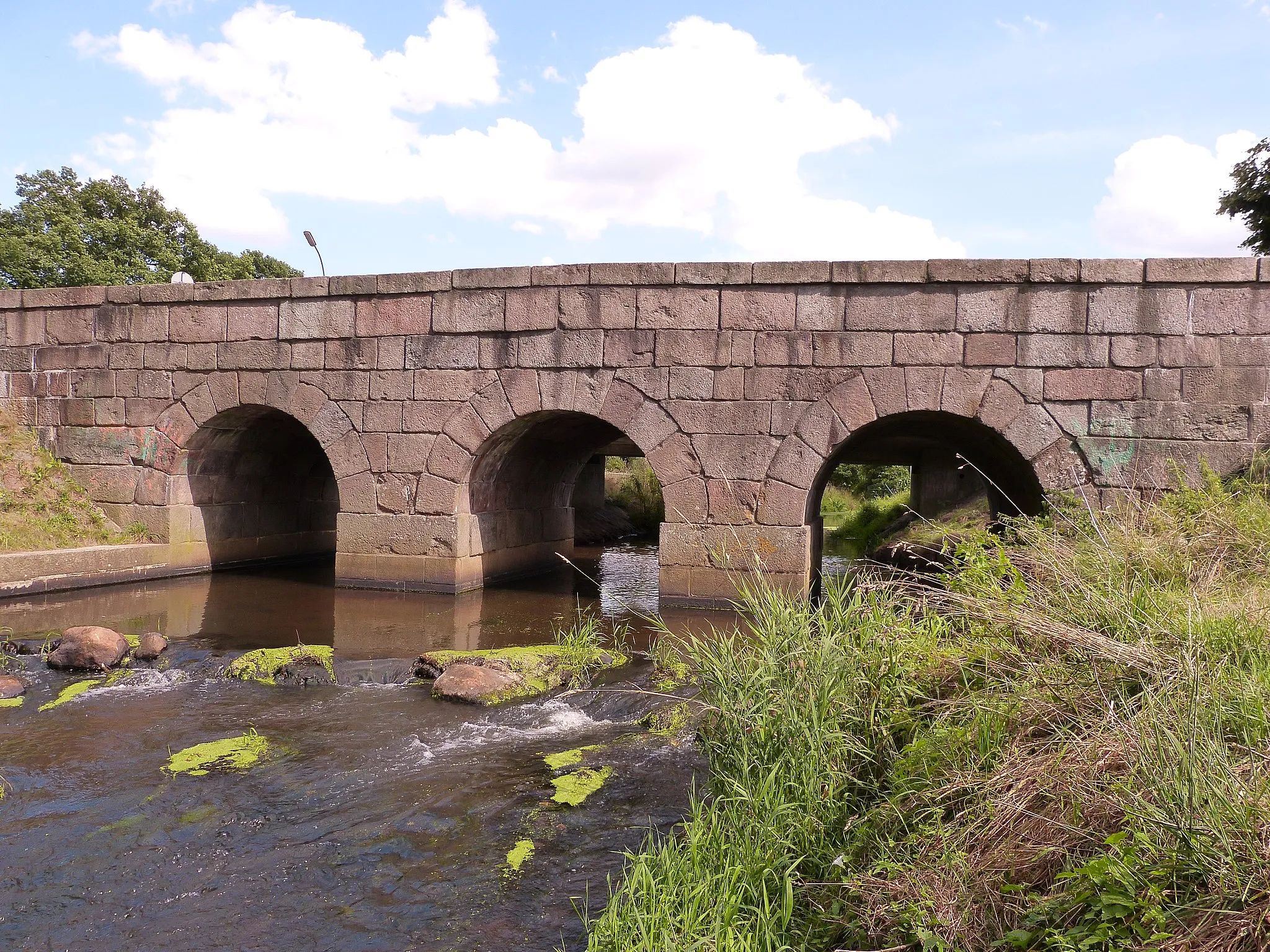
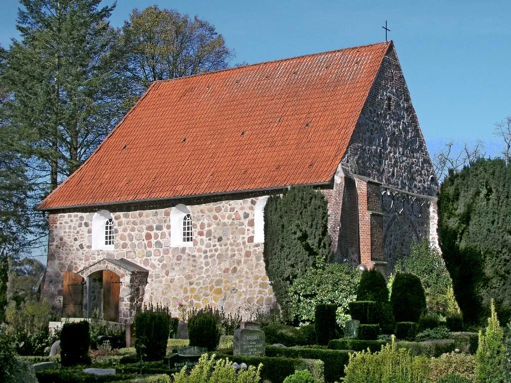
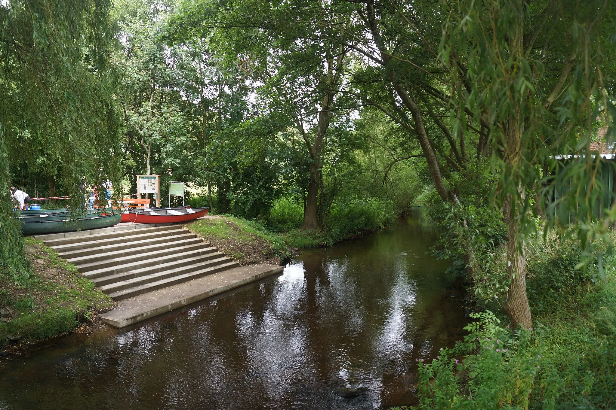
BimöhlenVillageBimöhlen: Experience the beauty of nature on the well-maintained nature trails in this peaceful town.
17 km
17 km
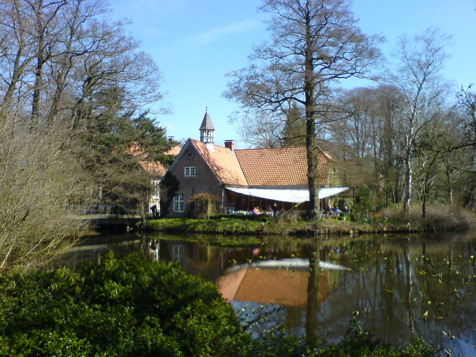
Aussichtsturm KetelvierthViewpointAussichtsturm Ketelvierth: Enjoy panoramic views of the lush green countryside from this observation tower.
34 km
34 km
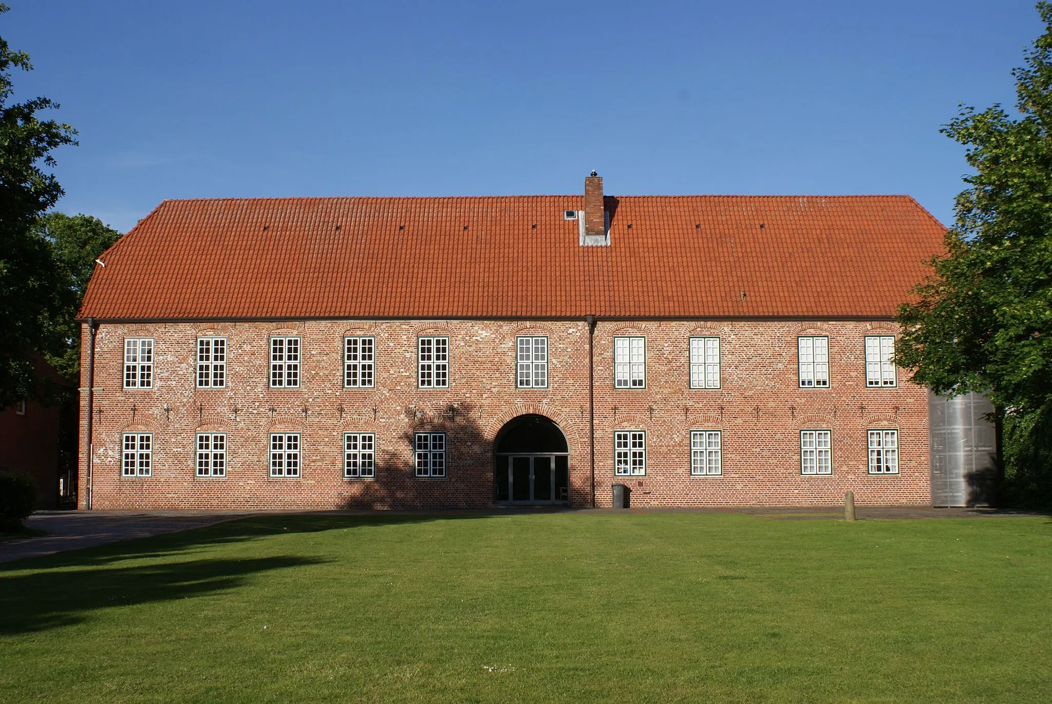
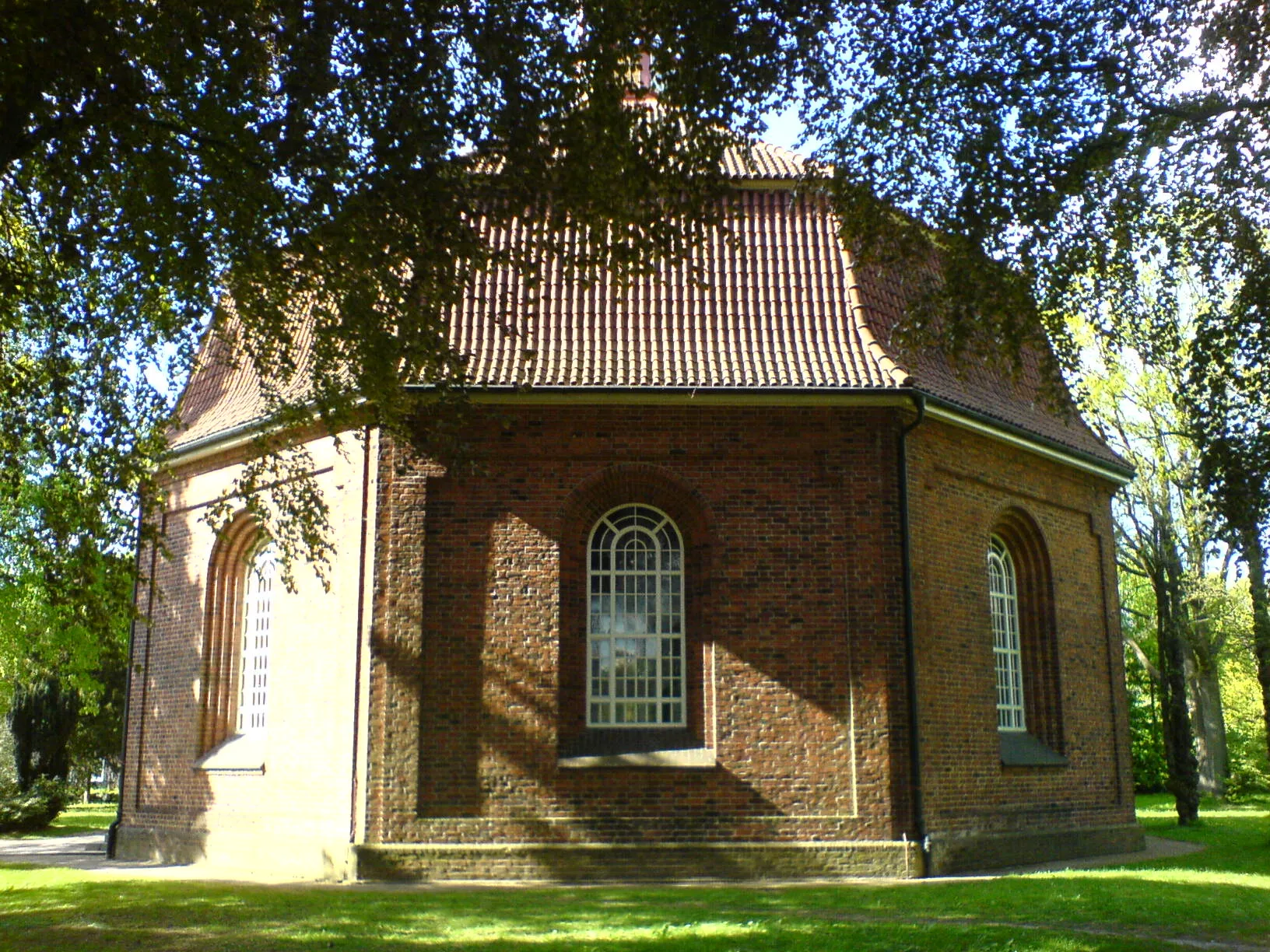
GönnebekVillageGönnebek: Explore the historic buildings and experience the vibrant local community.
41 km
41 km
Aussichtskanzel WildschweingehegeViewpointAussichtskanzel Wildschweingehege: Observe wildlife in their natural habitat from the elevated viewing platform.
76 km
76 km
Finish: Lentföhrden Village centerLentföhrden: Cycling Through Schleswig-Holstein's Countryside
Cycling routes from Lentfohrden:
Bad Bramstedt Circuit Westermoor Gravel Adventure Leezen Exploration Uetersen Highlights Bimöhlen-Schmalfeld Gravel Loop Kellinghusen-Bad Bramstedt Scenic Road Route Bimöhlen Nature Trail Struvenhütten-Kaltenkirchen Circuit Brande-Hörnerkirchen Loop Weddelbrook-Hitzhusen Gravel Route Barmstedt Round-Trip
Cycling routes nearby: