Altusried Gravel Ride
A gravel cycling route starting from Altusried
A scenic gravel ride near Altusried
Map
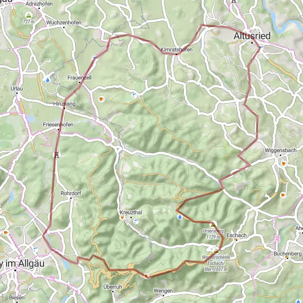
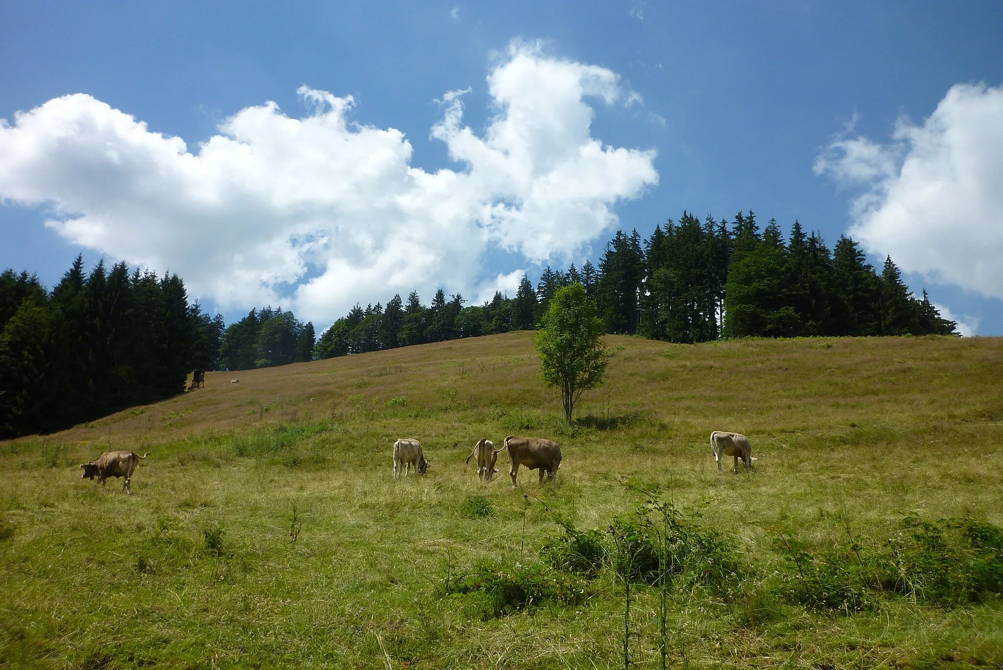
This distinctive route takes you through the beautiful Schwaben region near Altusried. With a distance of 54km and an elevation gain of 1042m, this gravel ride offers a challenging yet rewarding experience. Begin your journey in Altusried and enjoy the breathtaking views along the way. Highlights include Kreuzleshöhe, Oberweihbach, Schwarzer Grat, Rangenberg, Hinznang, and Kimratshofen. These spots provide perfect opportunities to take a break and immerse yourself in the stunning surroundings.
gravel
54 km
1042 m
Tough
Route profile
Highlights on the route
0 km
0 km
Start: Altusried City centerAltusried: Cycling through serenity: Altusried
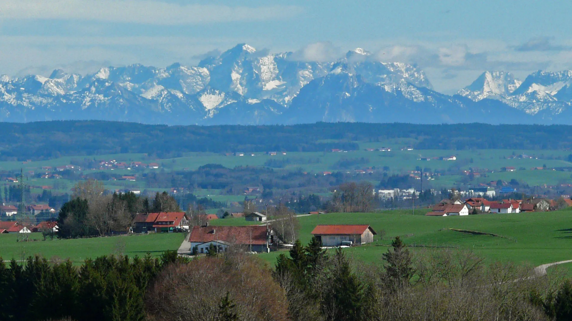
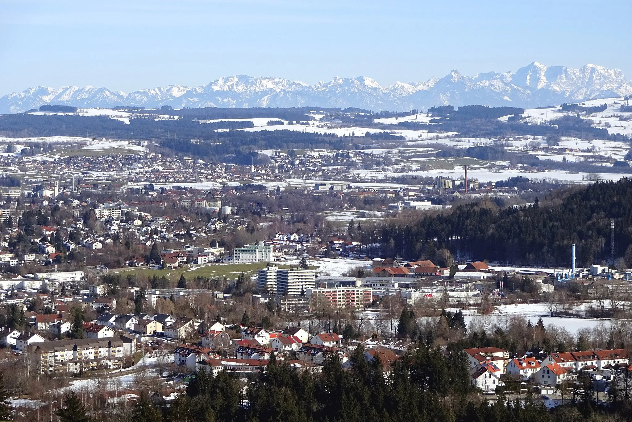
Located in Schwaben, Germany, Altusried is a hidden treasure for road and gravel cyclists. The locality boasts picturesque landscapes and tranquil roads, offering a serene cycling experience. Altusried is surrounded by idyllic countryside that cyclists can explore and enjoy. Furthermore, Altusried is in close proximity to the famous Allgäuer Alps, a renowned cycling destination featuring challenging climbs and breathtaking vistas. With its scenic routes and access to iconic mountain ascents, Altusried is a paradise for cyclists seeking both tranquility and adventure.0 km
0 km
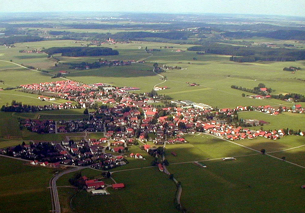
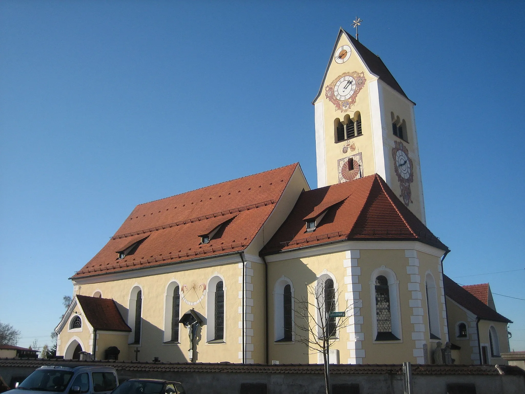
AltusriedTownAltusried, the starting point of the route, offers charming architecture and historical sites.
14 km
14 km
Kreuzleshöhe1115 mPeak ViewpointKreuzleshöhe is known for its panoramic views of the Schwaben region.
22 km
22 km
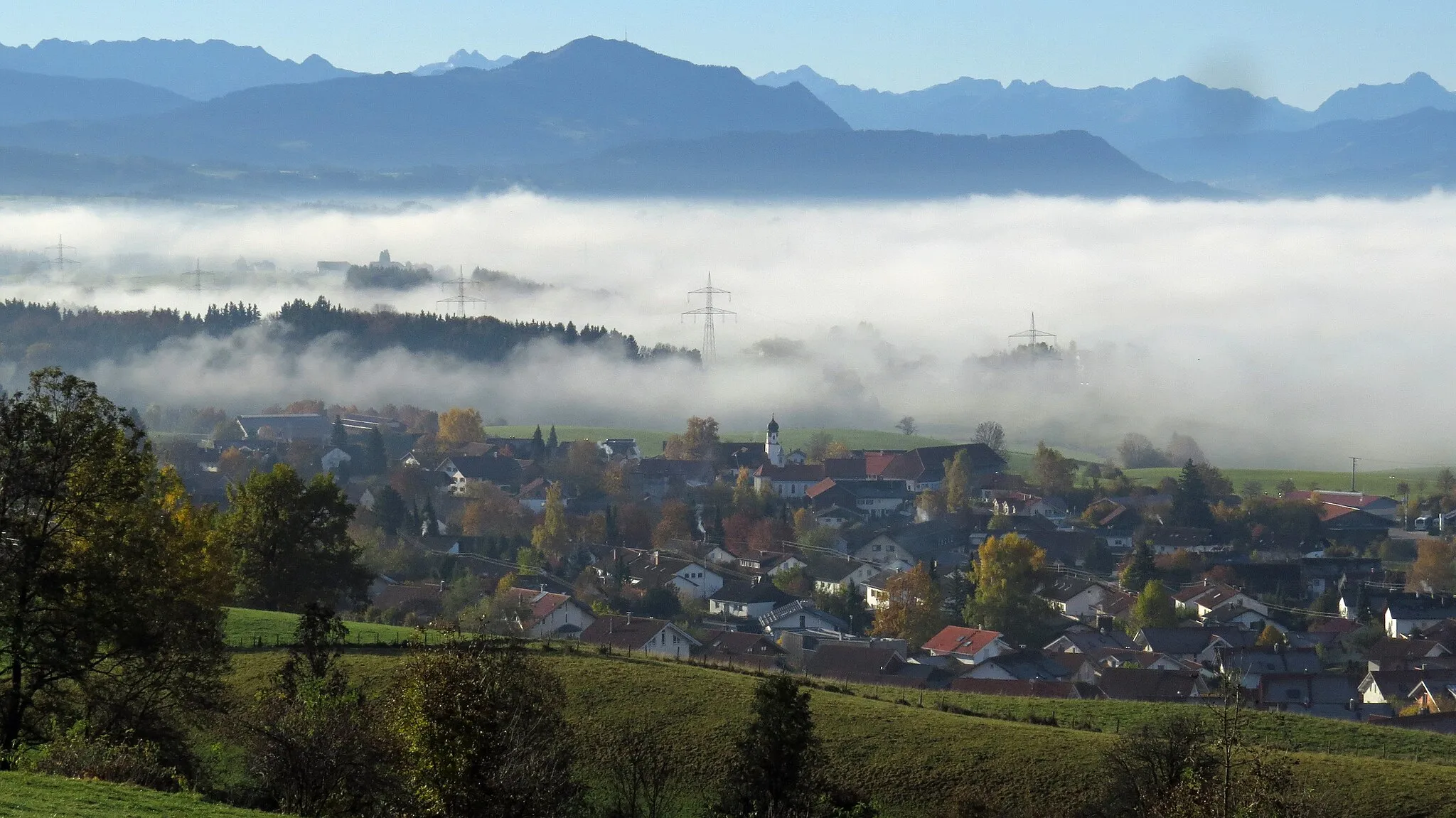
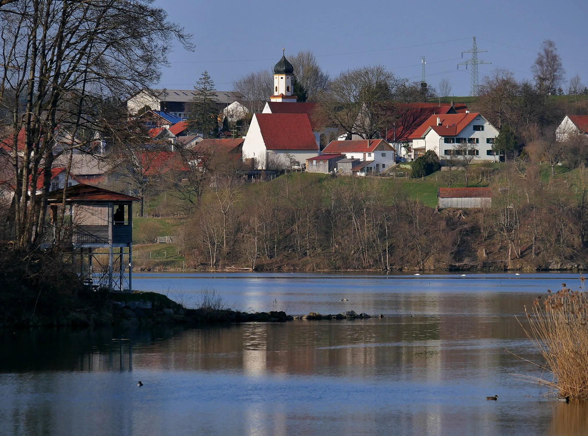
OberweihbachHamletOberweihbach will enchant you with its picturesque rural landscapes.
24 km
24 km
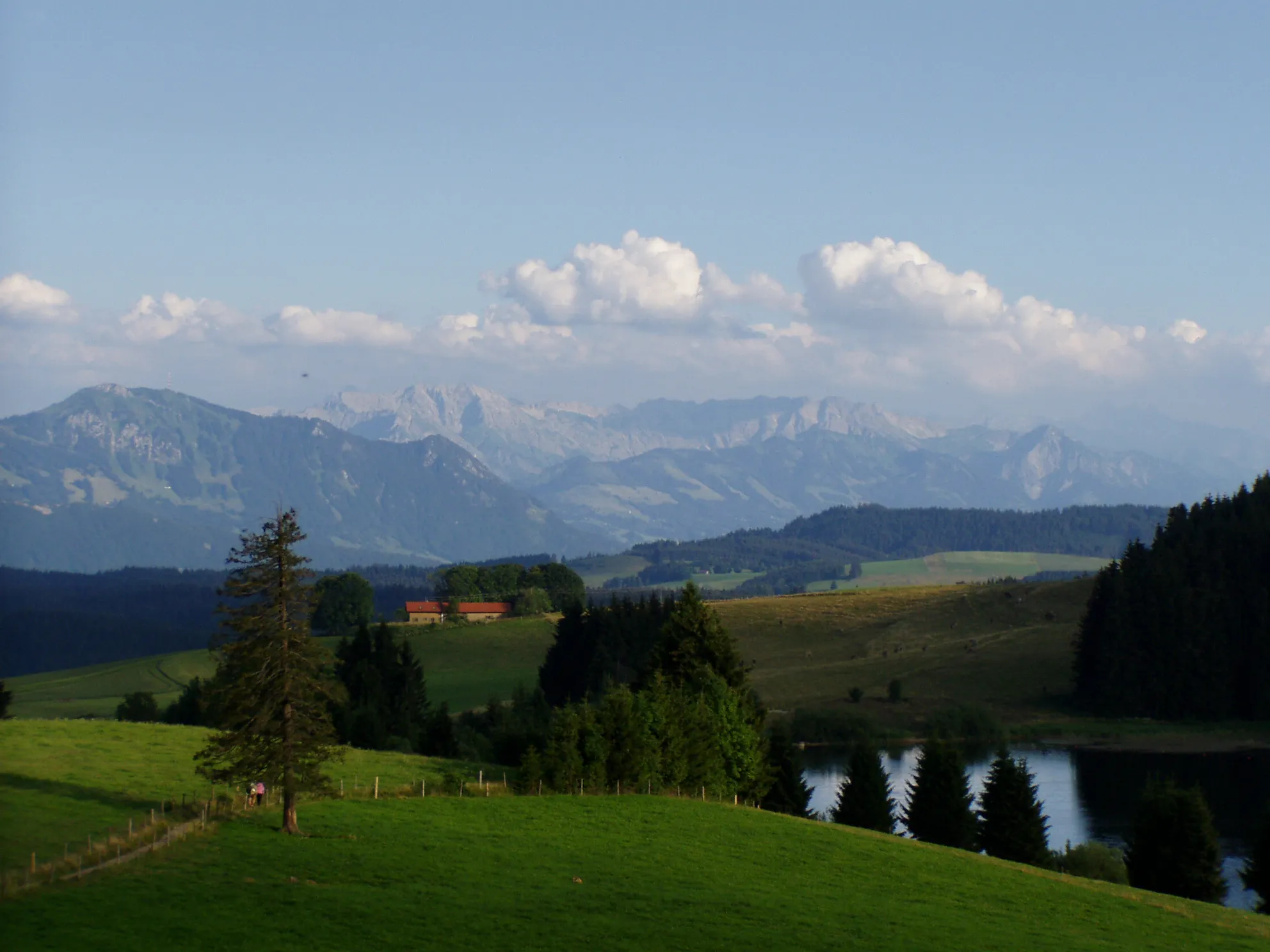
Schwarzer Grat1118 mPeakSchwarzer Grat is a natural landmark with stunning rock formations.
33 km
33 km
Rangenberg827 mPeakRangenberg provides a peaceful atmosphere and panoramic vistas.
40 km
40 km
HinznangVillageHinznang offers a quaint village setting with idyllic countryside views.
49 km
49 km
KimratshofenVillageKimratshofen is a charming village with traditional Bavarian architecture and cultural heritage.
54 km
54 km
Finish: Altusried City centerAltusried: Cycling through serenity: Altusried
Cycling routes from Altusried:
Cycling routes nearby: