Rettenberg and Schnalskopf
A gravel cycling route starting from Blaichach
Cycle through scenic vineyards and reach the summit of Schnalskopf
Map
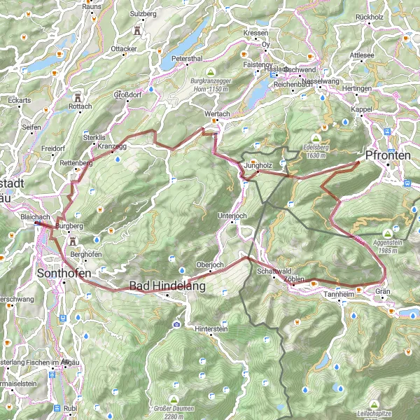
This gravel route takes you through the stunning vineyards of Rettenberg before embarking on a challenging ascent up the Schnalskopf. Enjoy panoramic views from the peak before descending back to the starting point. Overall, this ride combines scenic beauty with a satisfying climb.
gravel
74 km
1698 m
Tough
Route profile
Highlights on the route
0 km
0 km
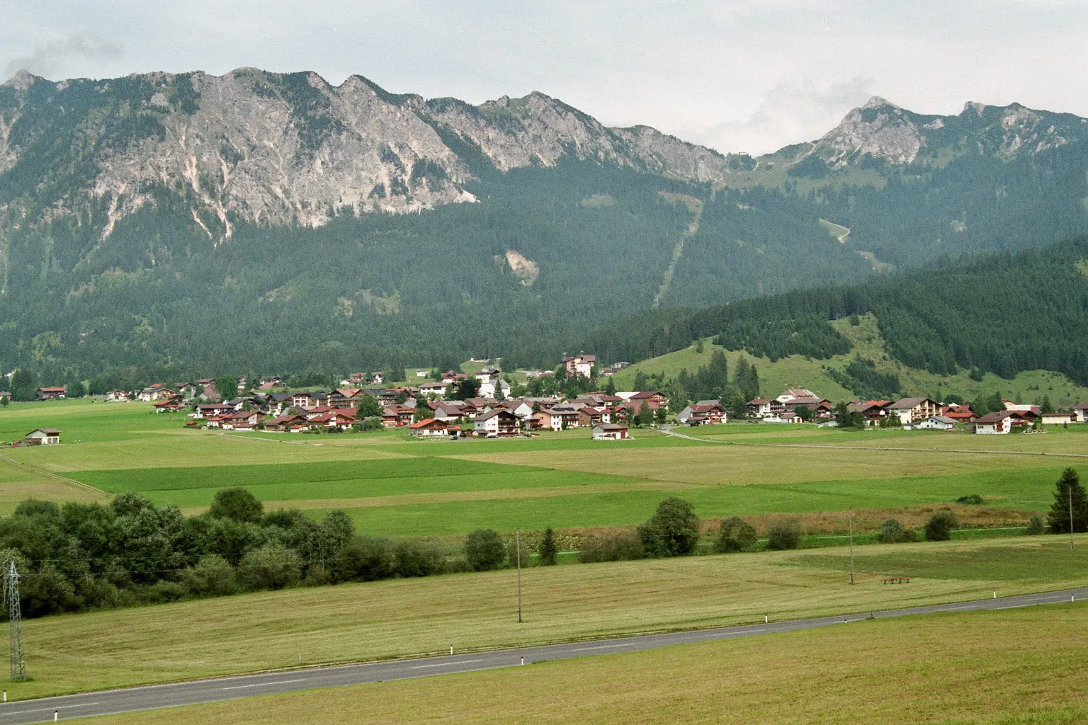
Start: Blaichach Village centerBlaichach: Discovering the beauty of the Allgäu Alps while cycling in Blaichach
Blaichach is a town located in the southwestern region of Schwaben, Germany. For road and gravel cyclists, Blaichach offers a range of picturesque cycling routes that traverse through charming villages and idyllic landscapes. Cyclists can explore the stunning Allgäu Alps, which provide breathtaking views and challenging climbs, making it a popular spot for cycling enthusiasts. With its cyclist-friendly infrastructure and beautiful surroundings, Blaichach is a great destination for those seeking a memorable cycling experience.3 km
3 km
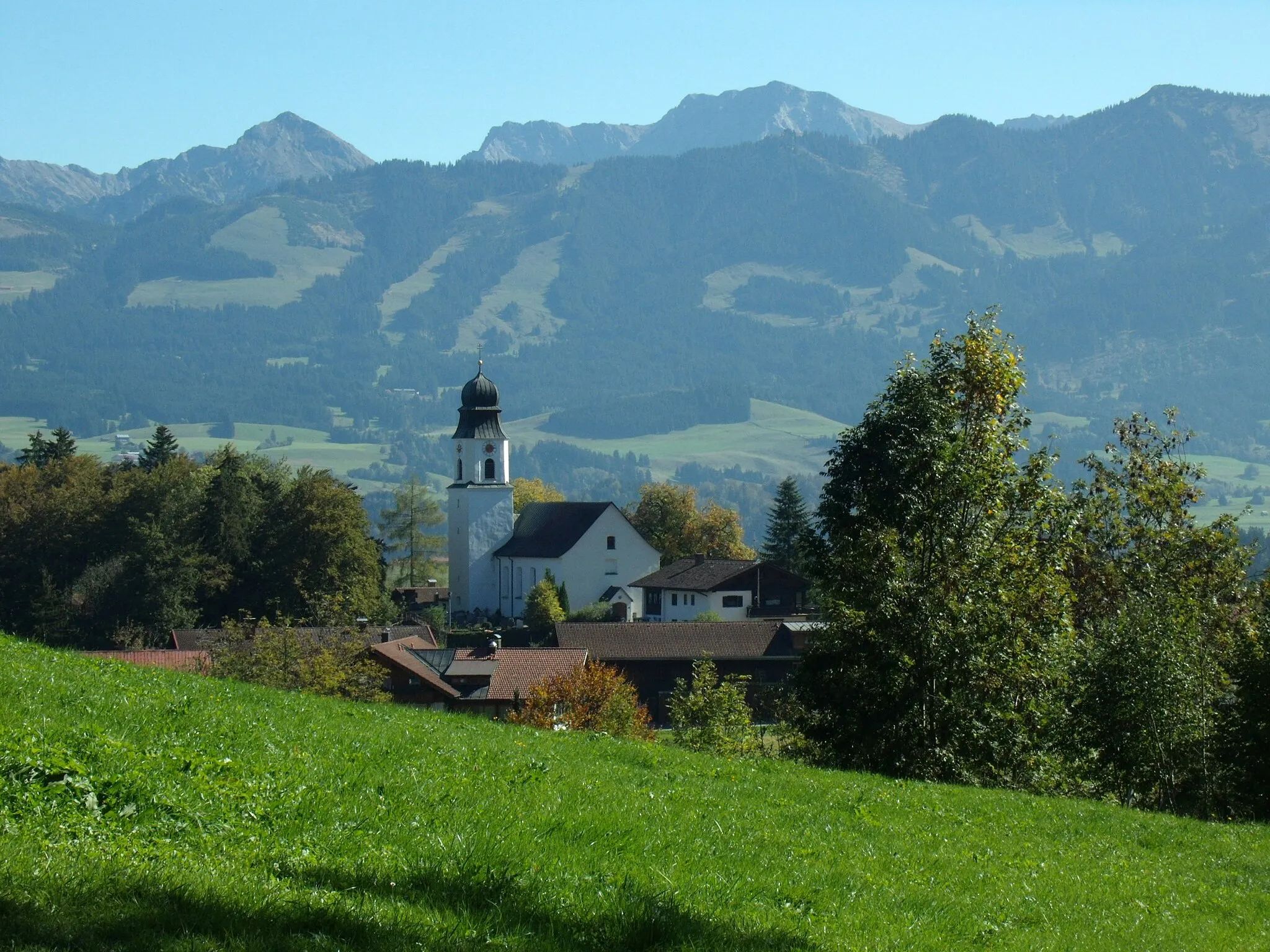
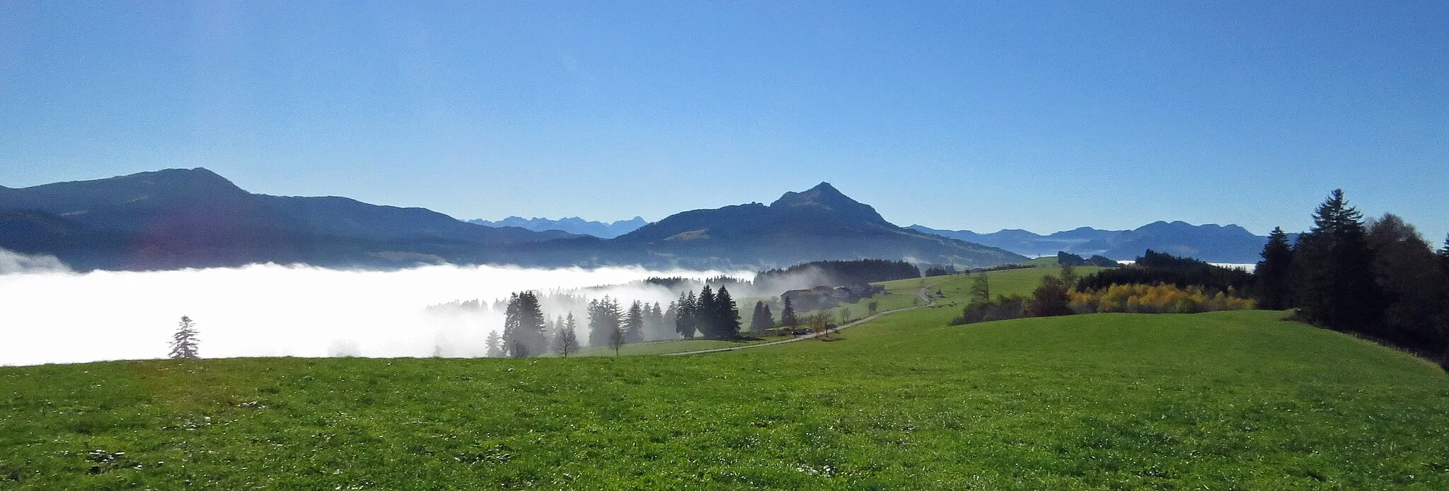
WeinberghöheViewpointWeinberghöhe offers sweeping views of the vineyards along the way.
7 km
7 km
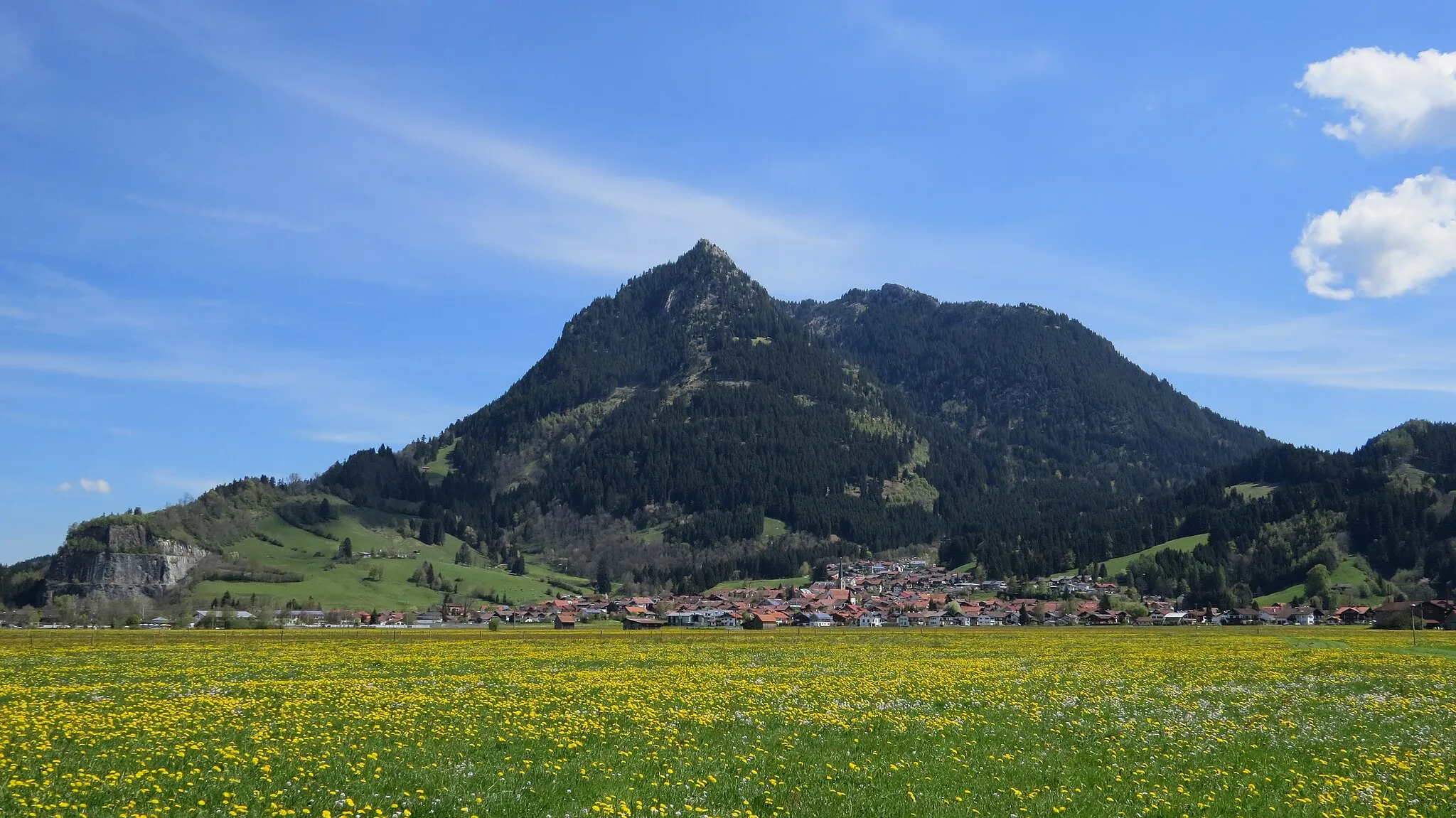
RettenbergVillageRettenberg is a charming village known for its picturesque vineyards.
23 km
23 km
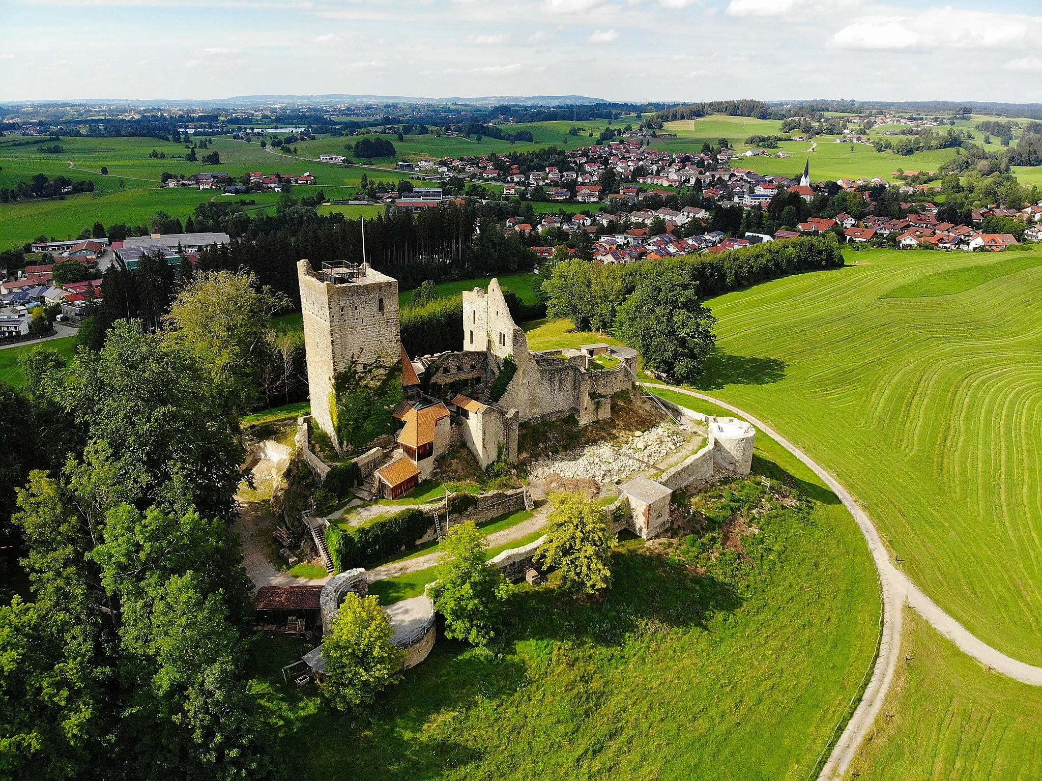
Tennenberg1036 mPeakTennenberg offers stunning views of the surrounding landscape.
25 km
25 km
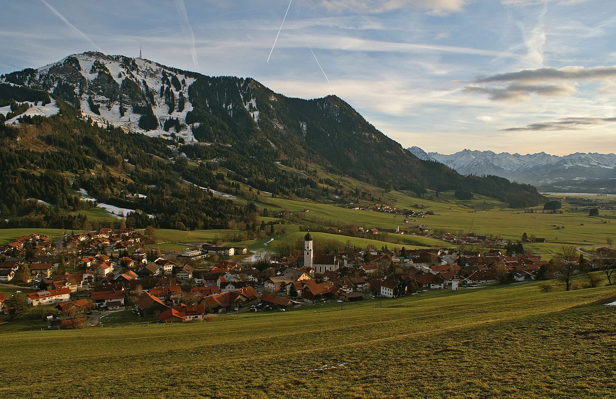
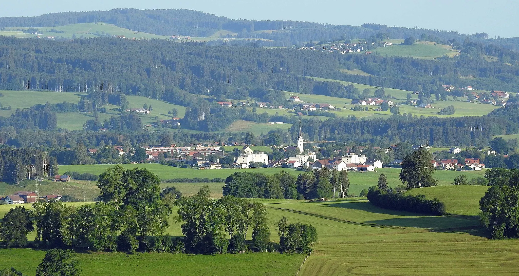
JungholzVillagePass through the scenic village of Jungholz.
34 km
34 km
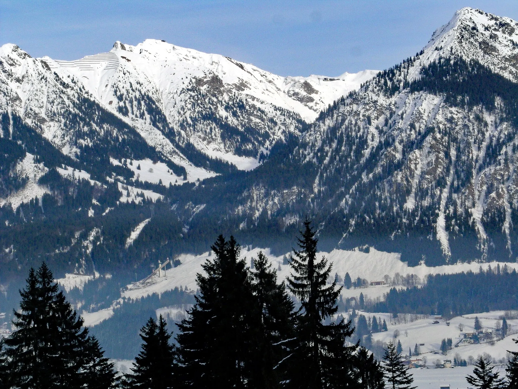
Schnalskopf1456 mPeakAt the top of Schnalskopf, enjoy panoramic views of the Allgäu region.
45 km
45 km
GränVillageGrän is a small village with beautiful natural surroundings.
58 km
58 km
AussichtsplattformViewpointTake in the views from the Aussichtsplattform.
62 km
62 km
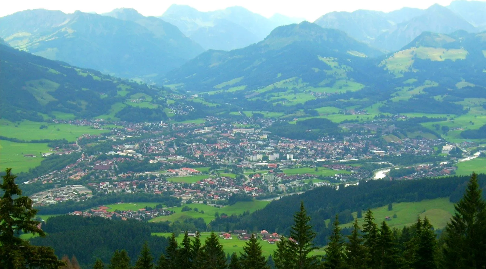
Bad HindelangTownVisit the vibrant town of Bad Hindelang.
70 km
70 km
SonthofenTownCycle through Sonthofen, a charming Bavarian town.
74 km
74 km
Finish: Blaichach Village centerBlaichach: Discovering the beauty of the Allgäu Alps while cycling in Blaichach
Cycling routes from Blaichach:
Blaichach to Holzbrücke Rettenberg and Schnalskopf Immenstadt Explorer Alpine Adventure Tour Classic Tour through Allgäu Adventure in Blaichach and Surroundings Road Cycling Bliss in Blaichach The Ultimate Road Cycling Adventure in Blaichach Scenic Road Cycling Adventure near Blaichach Gravel Cycling Paradise around Blaichach
Cycling routes nearby: