The Hidden Valleys
A road cycling route starting from Burgberg
Explore remote valleys and quaint villages on this scenic road cycling route near Burgberg.
Map
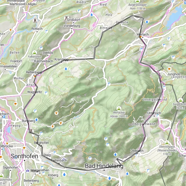
The Hidden Valleys route covers 46 kilometers with a total ascent of 846 meters. It offers a moderate challenge for amateur cyclists, taking them through hidden valleys and charming villages, showcasing the beauty of the Allgäu region. Enjoy the peace and tranquility of this scenic ride while uncovering the area's rich natural and historical treasures.
road
46 km
846 m
Chill
Route profile
Highlights on the route
0 km
0 km
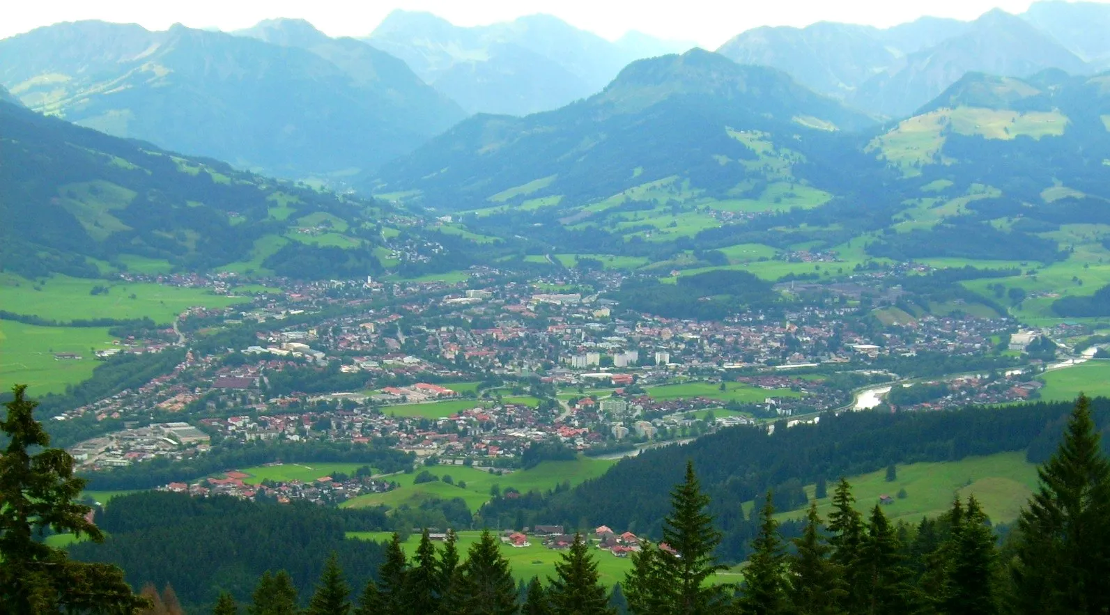
Start: Burgberg Village centerBurgberg: Discover cycling bliss in Burgberg
Situated in Schwaben, Germany, Burgberg is a cyclist's paradise. The locality offers a range of road and gravel cycling routes that cater to cyclists of varying skill levels and preferences. Cyclists can admire the breathtaking beauty of the Schwaben region as they navigate the well-maintained roads and expansive trails. Moreover, Burgberg serves as a gateway to the renowned Grosser Bläsikopf climb, which is a mecca for avid cyclists. With its cycling-friendly environment and access to famous climbs, Burgberg is a top choice for cyclists seeking an unforgettable adventure.0 km
0 km
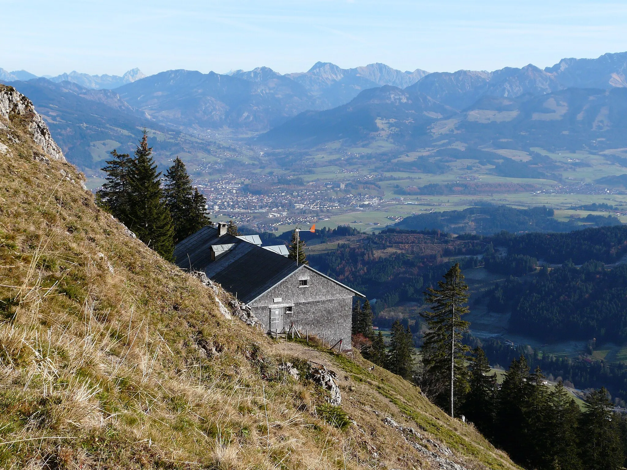
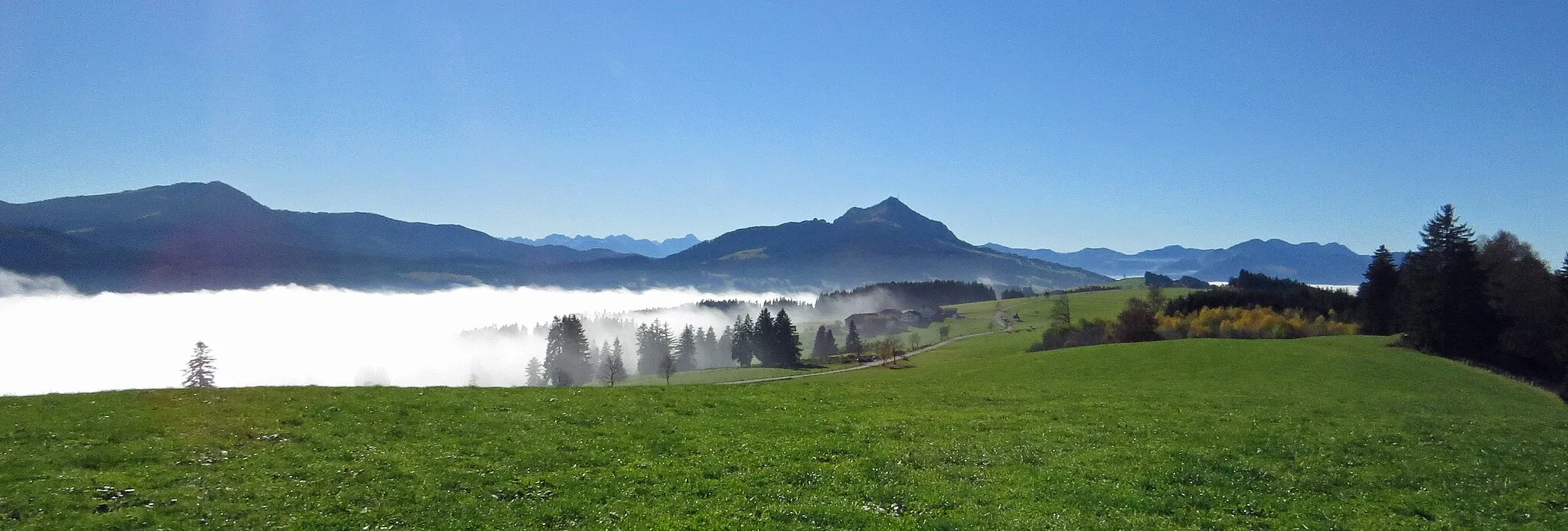
WeinberghöheViewpointClimb to the top of Weinberghöhe for stunning panoramic views of the Allgäu Alps and rolling hills.
4 km
4 km
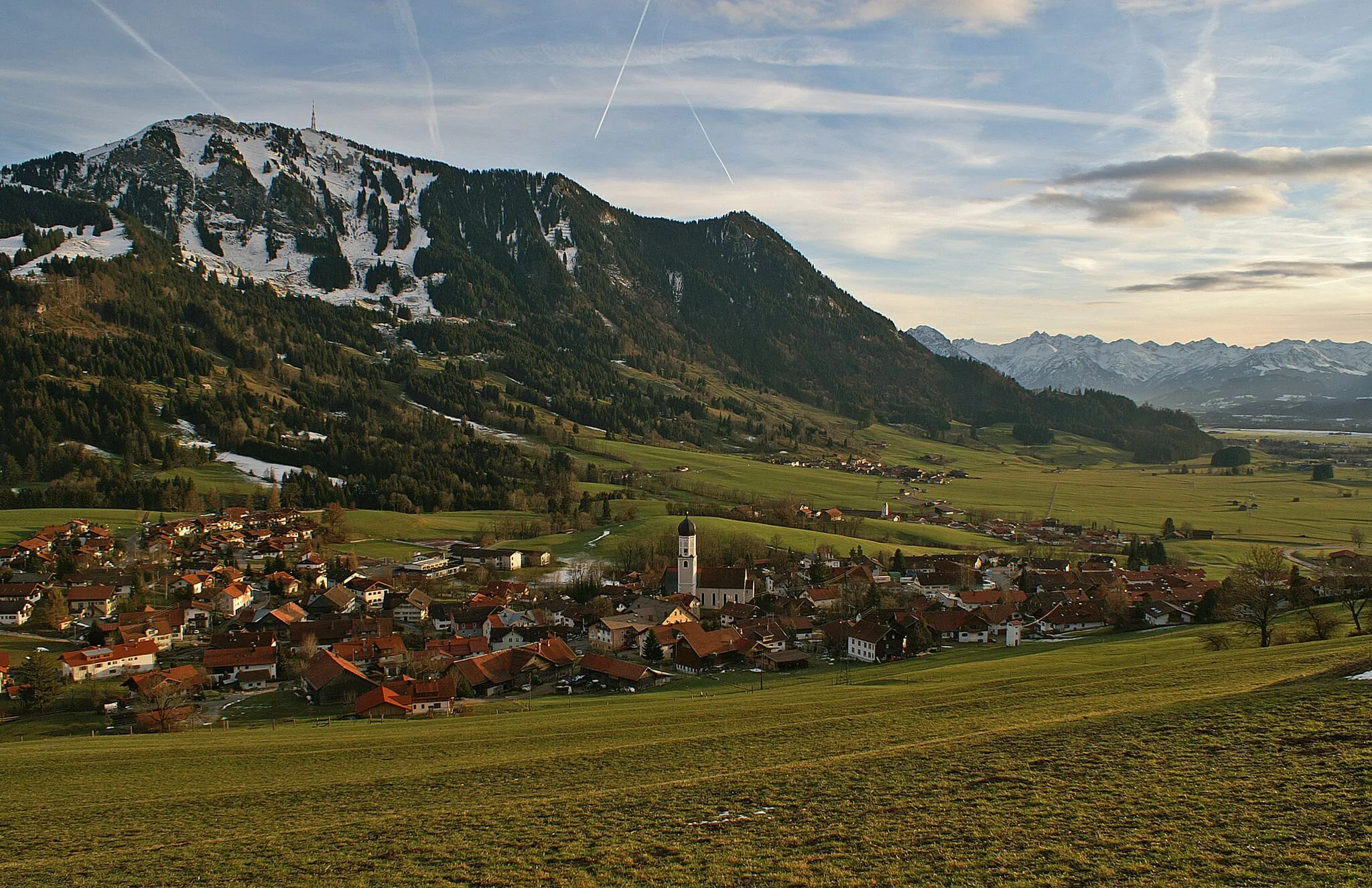
RettenbergVillageStop by Rettenberg, a charming village known for its Alpine-style buildings and traditional handicrafts.
19 km
19 km
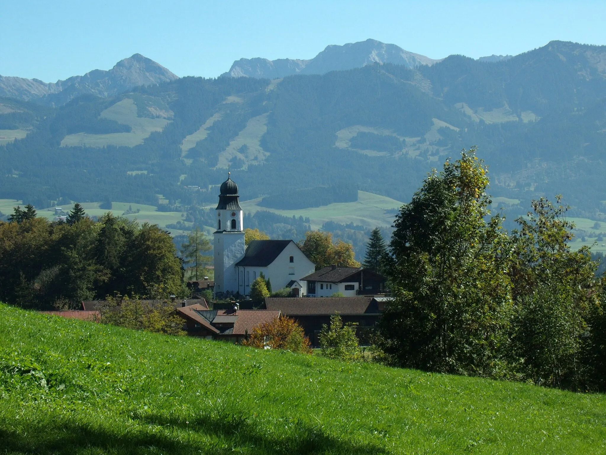
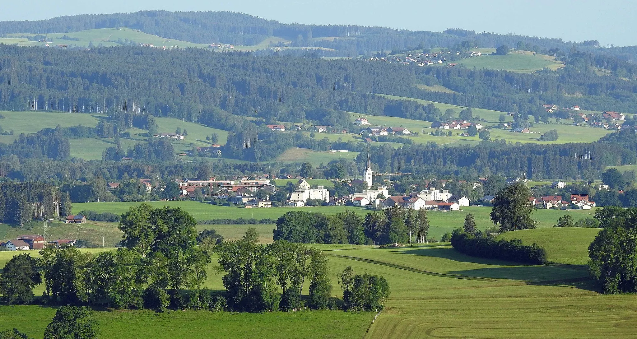
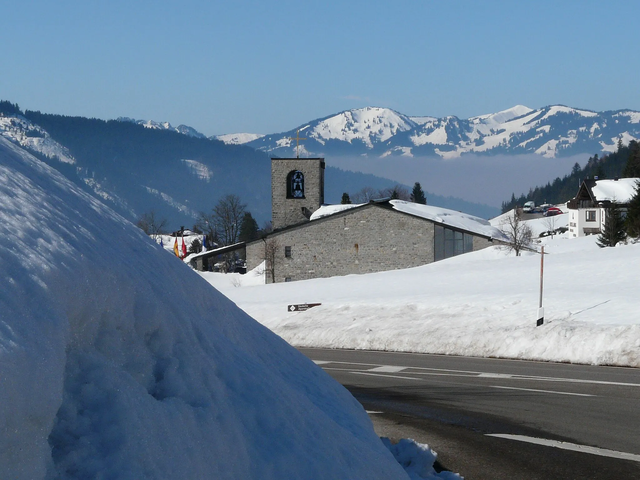
WertachVillageWertach welcomes you with its beautiful lakeside promenade, idyllic mountain backdrop, and ample opportunities for outdoor activities.
23 km
23 km
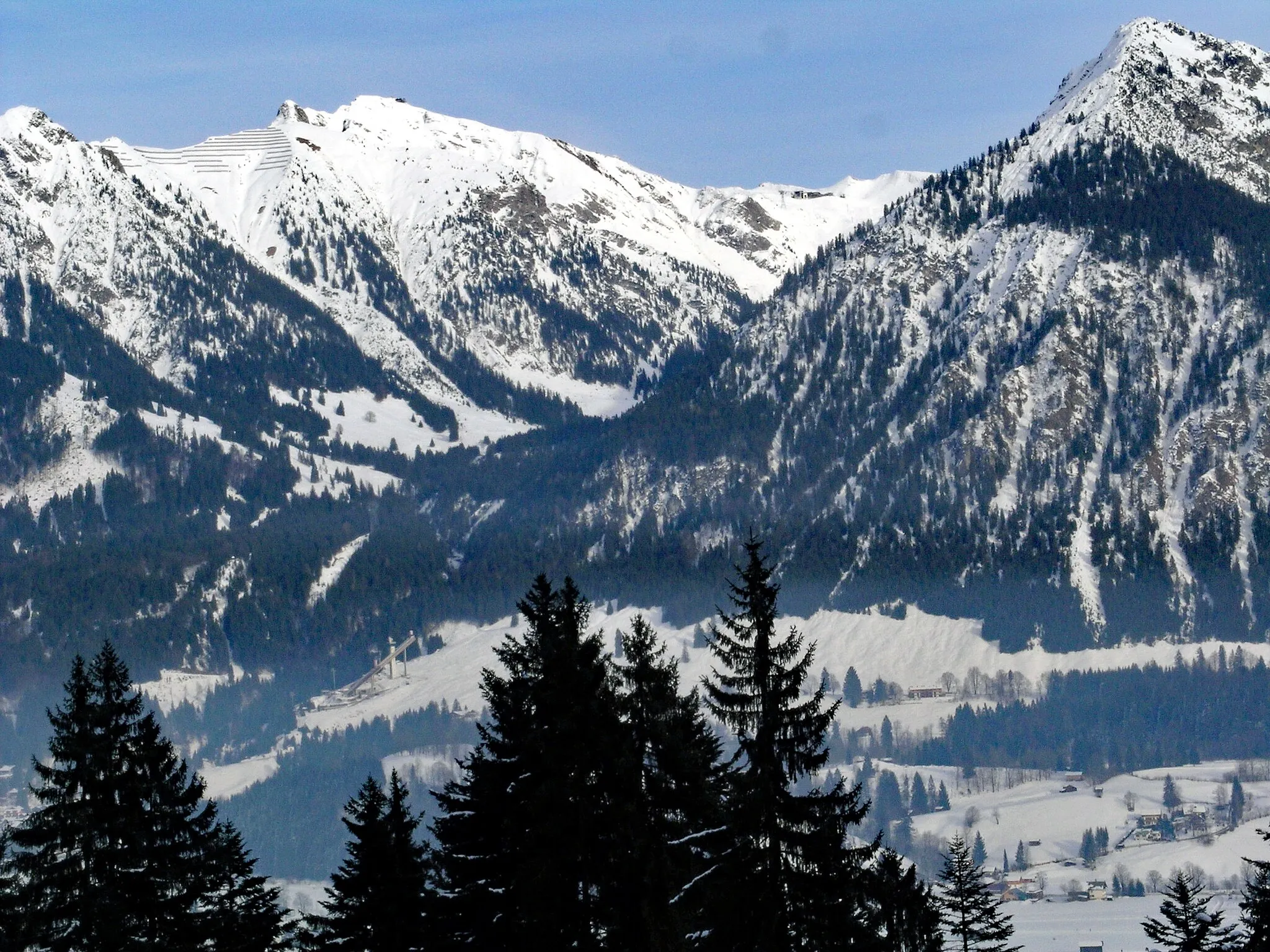
Tennenberg1036 mPeakTennenberg is home to a medieval fortress ruin, offering glimpses into the region's history and enchanting views of the surrounding landscape.
30 km
30 km
AussichtsplattformViewpointAussichtsplattform offers panoramic views of the Allgäu Alps and the picturesque countryside.
36 km
36 km
Bad HindelangTownDiscover the picturesque town of Bad Hindelang, renowned for its traditional Alpine architecture and outdoor recreation opportunities.
42 km
42 km
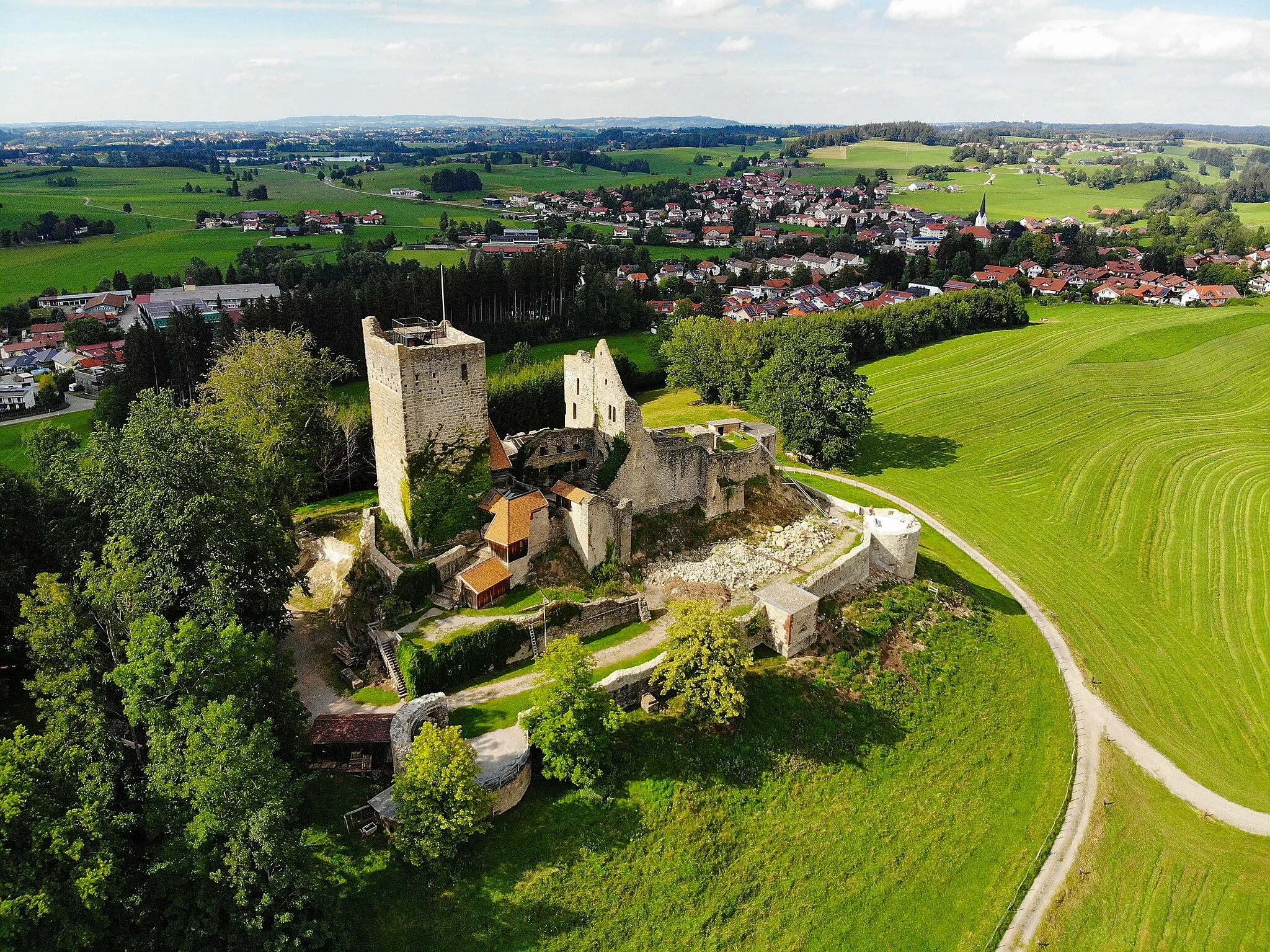
Ruine FluhensteinCastleRuine Fluhenstein is a historic castle ruin nestled in the lush green landscapes, providing an insight into the region's medieval history.
46 km
46 km
Finish: Burgberg Village centerBurgberg: Discover cycling bliss in Burgberg
Cycling routes from Burgberg:
The Hidden Valleys Allgäu Gravel Adventure Burgberg to Rauhenzell Scenic Route The Allgäu Tour Burgberg to Immenstadt i.Allgäu Exploring the Allgäu Alps Allgäu Forest Trail Burgberg to Immenstadt i.Allgäu Gravel Loop Burgberg to Bad Hindelang Loop Burgberg to Oberjoch Gravel Adventure Bursting with Natural Beauty Alpine Adventure
Cycling routes nearby: