Dinkelscherben - Schempach - Hungerberg - Schwabmünchen - Siebnach - Schnerzhofer Weiher - Walkertshofen - Lettenberg - Schönebach
A road cycling route starting from Dinkelscherben
Embark on a scenic road cycling adventure through charming towns and picturesque landscapes in Schwaben.
Map
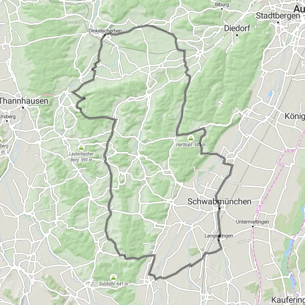
Covering a distance of 93 kilometers with an ascent of 670 meters, this road cycling route starting near Dinkelscherben showcases the beauty of Schwaben. With a moderate difficulty level, it is suitable for well-trained amateurs. The route takes you through stunning natural landscapes, quaint villages, and historic sites. Highlights include the idyllic town of Schempach, the panoramic views from Hungerberg, the charming town of Schwabmünchen with its historic market square, and the peaceful Schnerzhofer Weiher lake.
road
93 km
670 m
Tough
Route profile
Highlights on the route
0 km
0 km
Start: Dinkelscherben Village centerDinkelscherben: Discover the cycling treasures of Dinkelscherben, Germany
Dinkelscherben is a locality in Schwaben, Germany. From a cyclist's perspective, Dinkelscherben offers various options for road and gravel biking, with its network of well-maintained cycling paths and country roads. Cyclists can explore the rural landscape dotted with traditional Bavarian houses, serene lakes, and rolling meadows. Dinkelscherben is also located close to Augsburg, a cycling-friendly city in Germany, providing opportunities for longer rides and access to cycling-related amenities. While there may not be any specific famous cycling spots or notable climbs nearby, Dinkelscherben is a cyclist's hidden gem in the scenic region of Schwaben.5 km
5 km
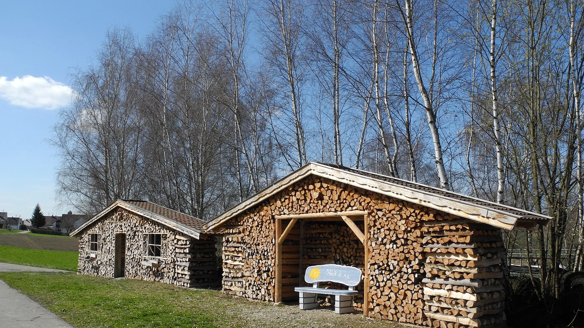
SchempachVillageSchempach is a quaint town surrounded by rolling hills, offering scenic views and traditional Bavarian charm.
14 km
14 km
Hungerberg530 mPeakHungerberg provides breathtaking panoramic views of the surrounding landscapes, including expansive farmlands and forests.
36 km
36 km
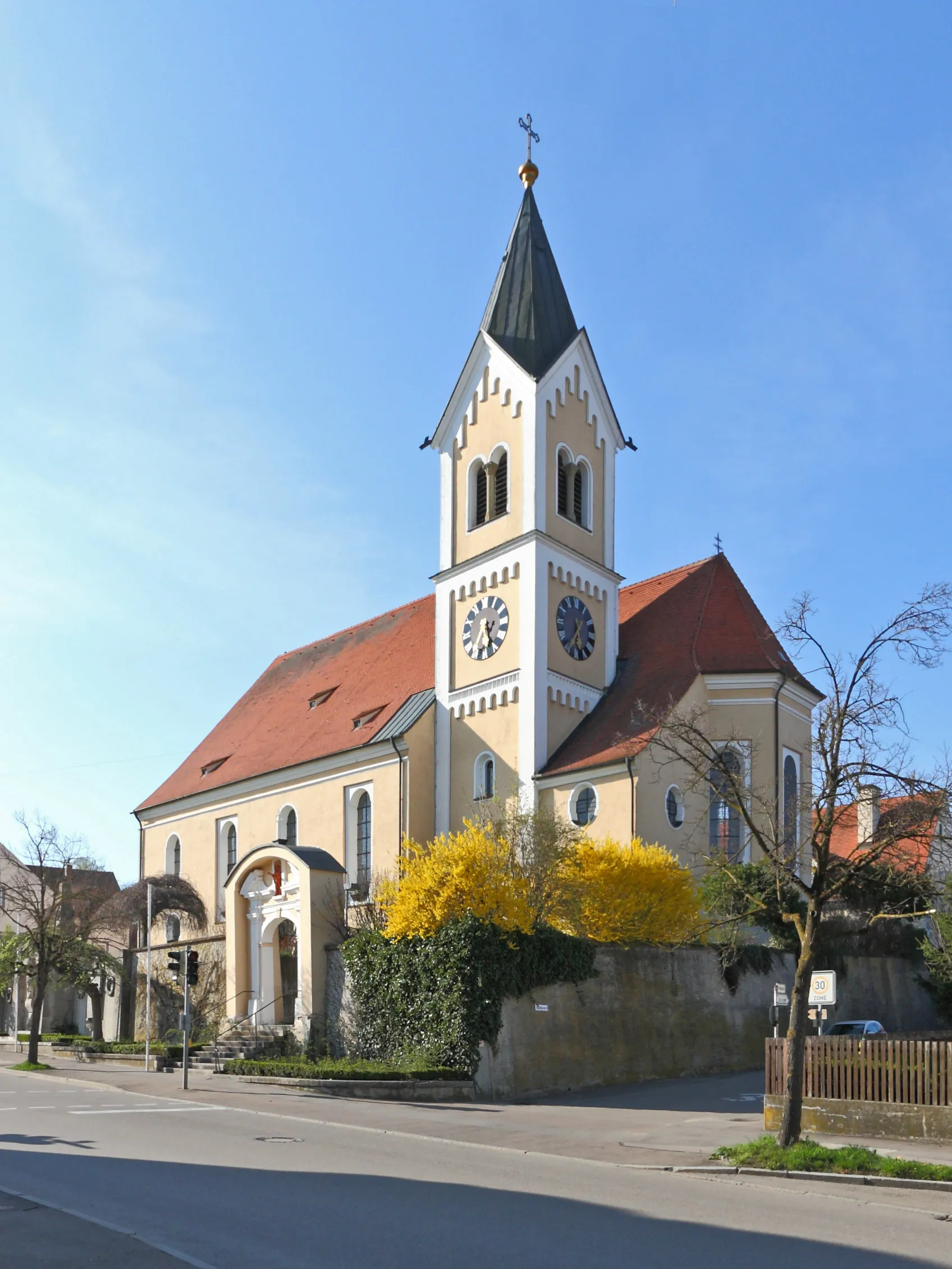
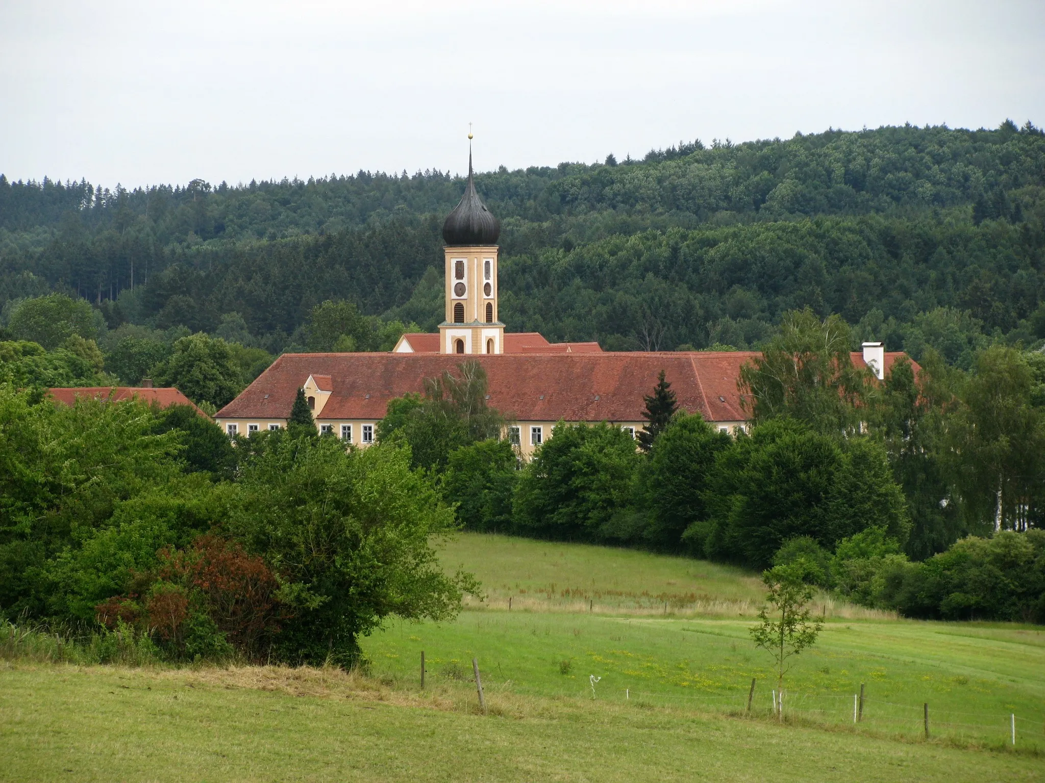
SchwabmünchenTownSchwabmünchen boasts a historic market square, filled with charming cafés and adorned with picturesque Renaissance-era buildings.
54 km
54 km
SiebnachVillageSiebnach is a quaint village with beautiful landscapes and traditional architecture, perfect for a peaceful cycling break.
58 km
58 km
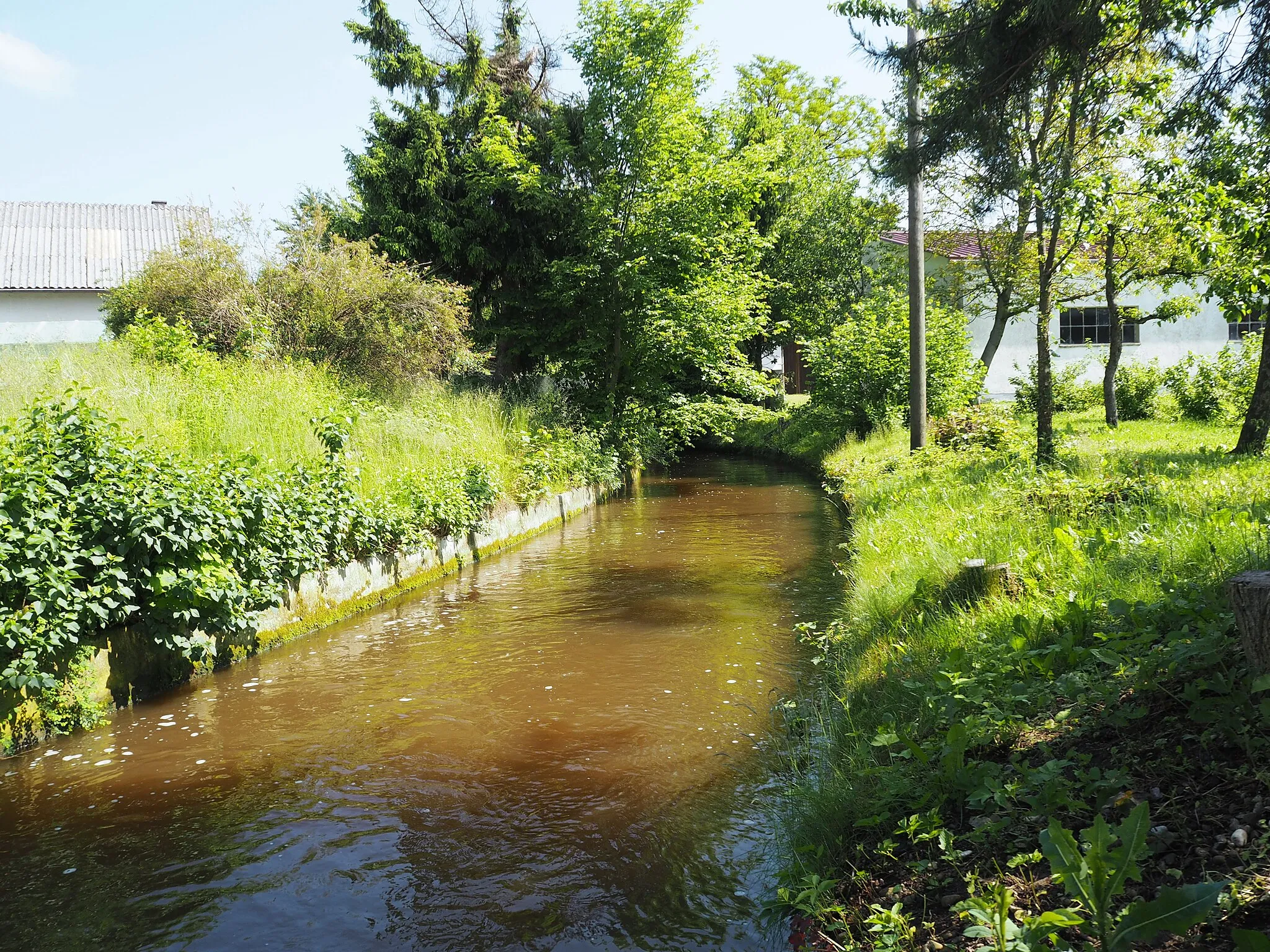
Schnerzhofer WeiherViewpointSchnerzhofer Weiher is a serene lake surrounded by lush greenery, ideal for a refreshing stop during the bike tour.
70 km
70 km
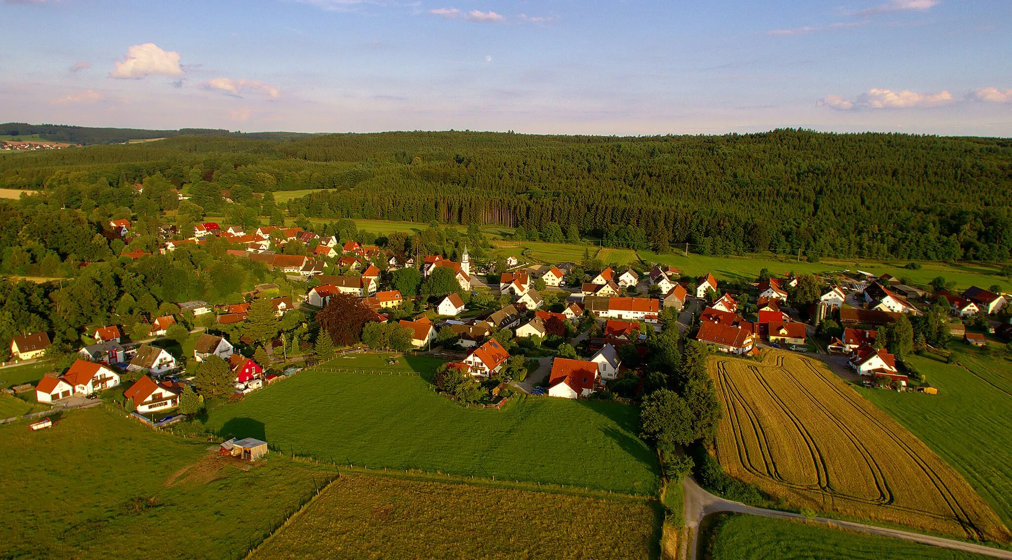
WalkertshofenVillageWalkertshofen offers stunning views of the surrounding countryside and picturesque paths for leisurely cycling.
79 km
79 km
Lettenberg579 mPeakLettenberg is a charming hilltop village with traditional Bavarian architecture and lovely vistas.
87 km
87 km
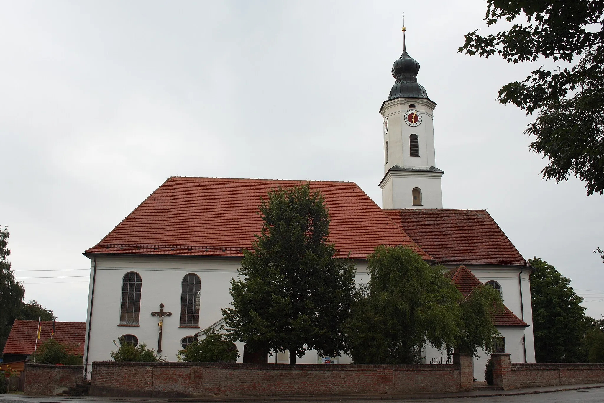
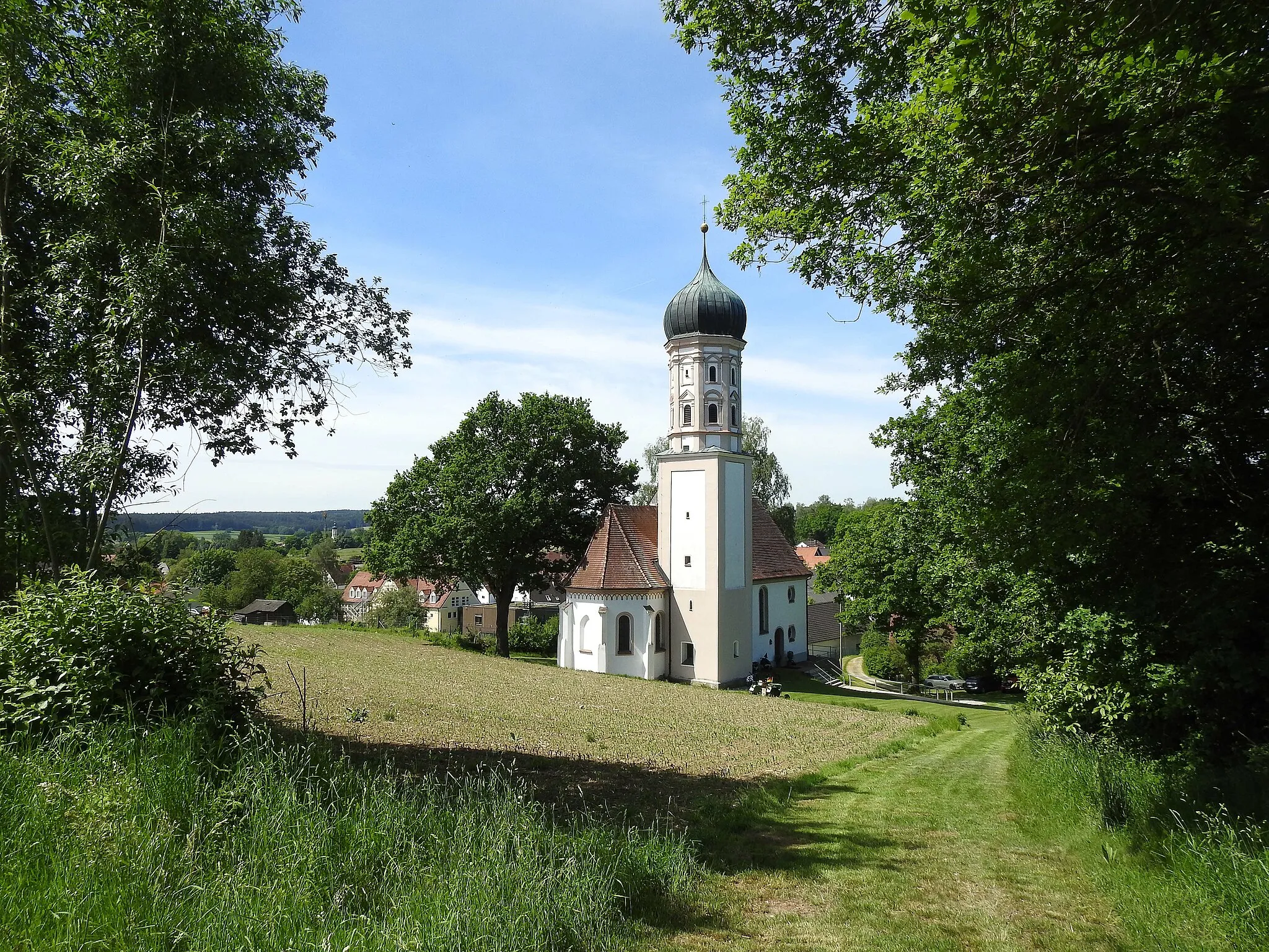
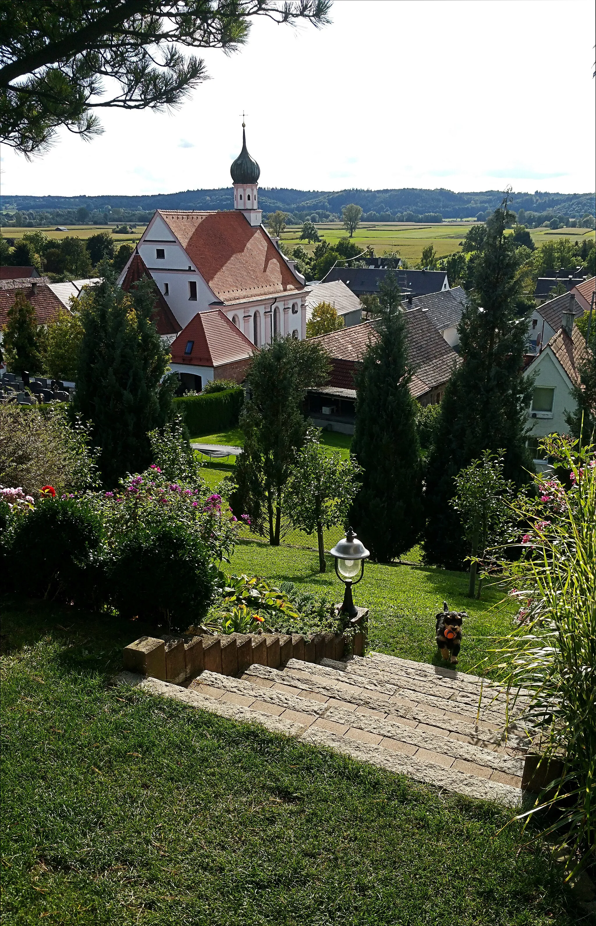
SchönebachVillageSchönebach is a peaceful village known for its idyllic landscapes and historic church.
93 km
93 km
Finish: Dinkelscherben Village centerDinkelscherben: Discover the cycling treasures of Dinkelscherben, Germany
Cycling routes from Dinkelscherben:
Schwaben Road Trip Gravel Adventure in Dinkelscherben Dinkelscherben - Rauhenberg - Burtenbach - Dürrenberg - Freihalden - Gabelbach Bavarian Gravel Adventure Medieval Gravel Ride Zusameck Gravel Loop Dinkelscherben - Schempach - Hungerberg - Schwabmünchen - Siebnach - Schnerzhofer Weiher - Walkertshofen - Lettenberg - Schönebach Dinkelscherben - Rauhenberg - Burtenbach - Kleinbeuren - Harthausen - Echenbrunn - Rechbergreuthen - Fleinhausen Dinkelscherben - Altenmünster - Riedsend - Kobel - Unterthürheim - Ottilienberg - Staufenberg - Adelsried - Burg Zusameck Scenic Dinkelscherben Loop
Cycling routes nearby: