The Gravel Cycling Paradise: Boschhorn
A gravel cycling route starting from Ichenhausen
Immerse yourself in the raw beauty of nature as you cycle the scenic gravel paths toward Boschhorn.
Map
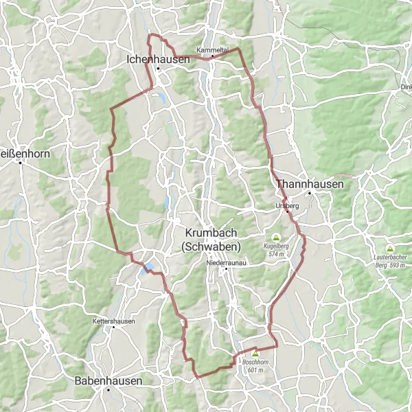
Indulge in a gravel cycling paradise along this enchanting 79-kilometer route near Ichenhausen. Experience the magic of the Schwaben region and explore hidden gems on your way to Boschhorn. With a moderate ascent of 534 meters, this route is suitable for intermediate riders looking to conquer diverse terrain and immerse themselves in nature. Marvel at the rural landscapes, charming villages, and idyllic forests that envelop the path. Highlights include the peaceful outskirts of Oberhagenried, the serene vistas of Premach, and the rustic beauty of Boschhorn itself. Do not miss Seifertshofen's captivating allure or the enchanting Waldstetten while you traverse the stunning countryside atop your trusty bike.
gravel
79 km
534 m
Tough
Route profile
Highlights on the route
0 km
0 km
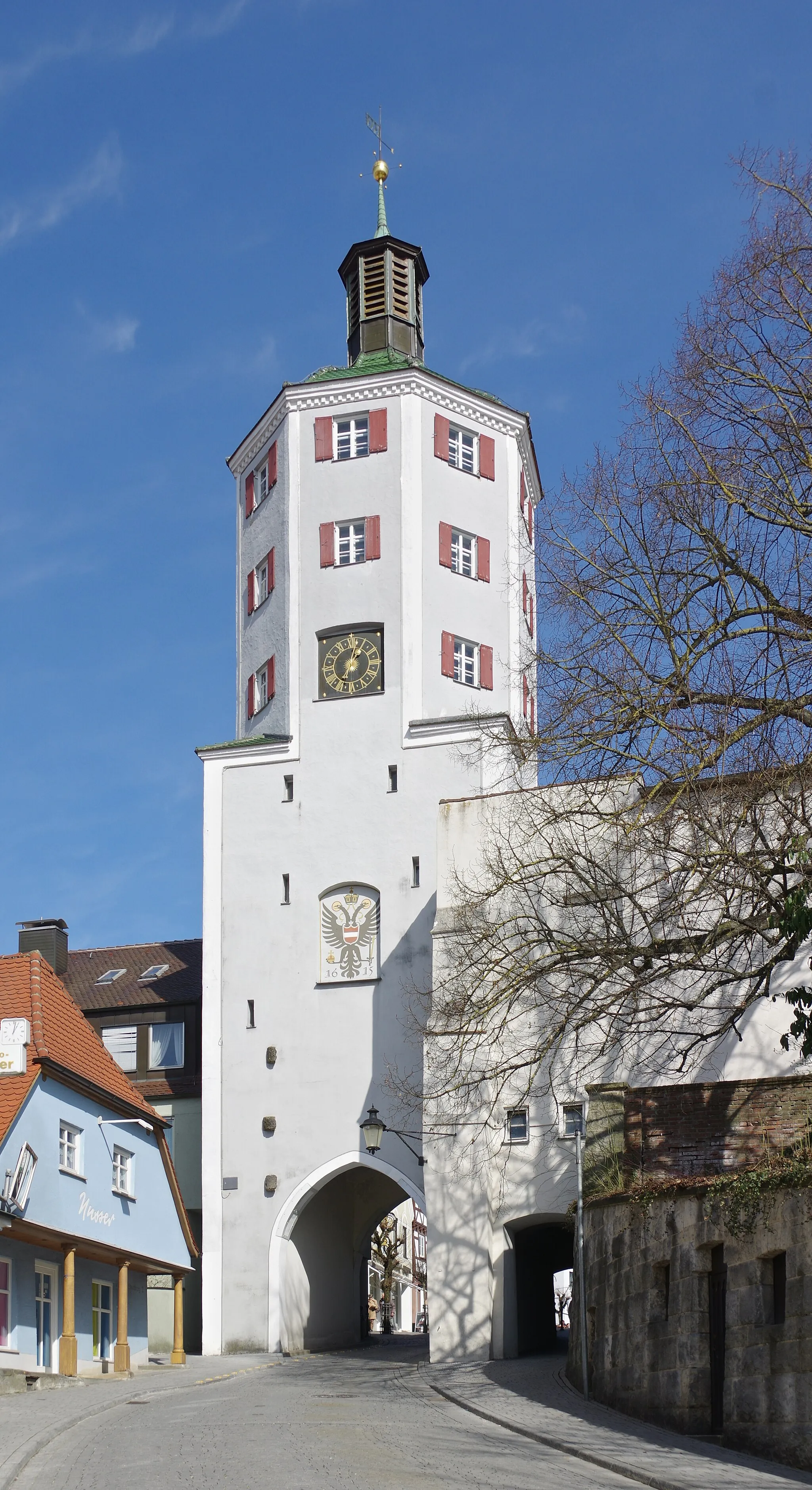
Start: Hochwang Village centerIchenhausen: Cycling through idyllic countryside in Ichenhausen
Ichenhausen, situated in the Schwaben region of Germany, offers unique cycling experiences for road and gravel cyclists. There are several scenic routes that take you through the idyllic countryside, providing plenty of variety. While Ichenhausen may not be home to any famous cycling-related spots or legendary climbs, it is a charming locality that offers a peaceful environment for cyclists to enjoy.15 km
15 km
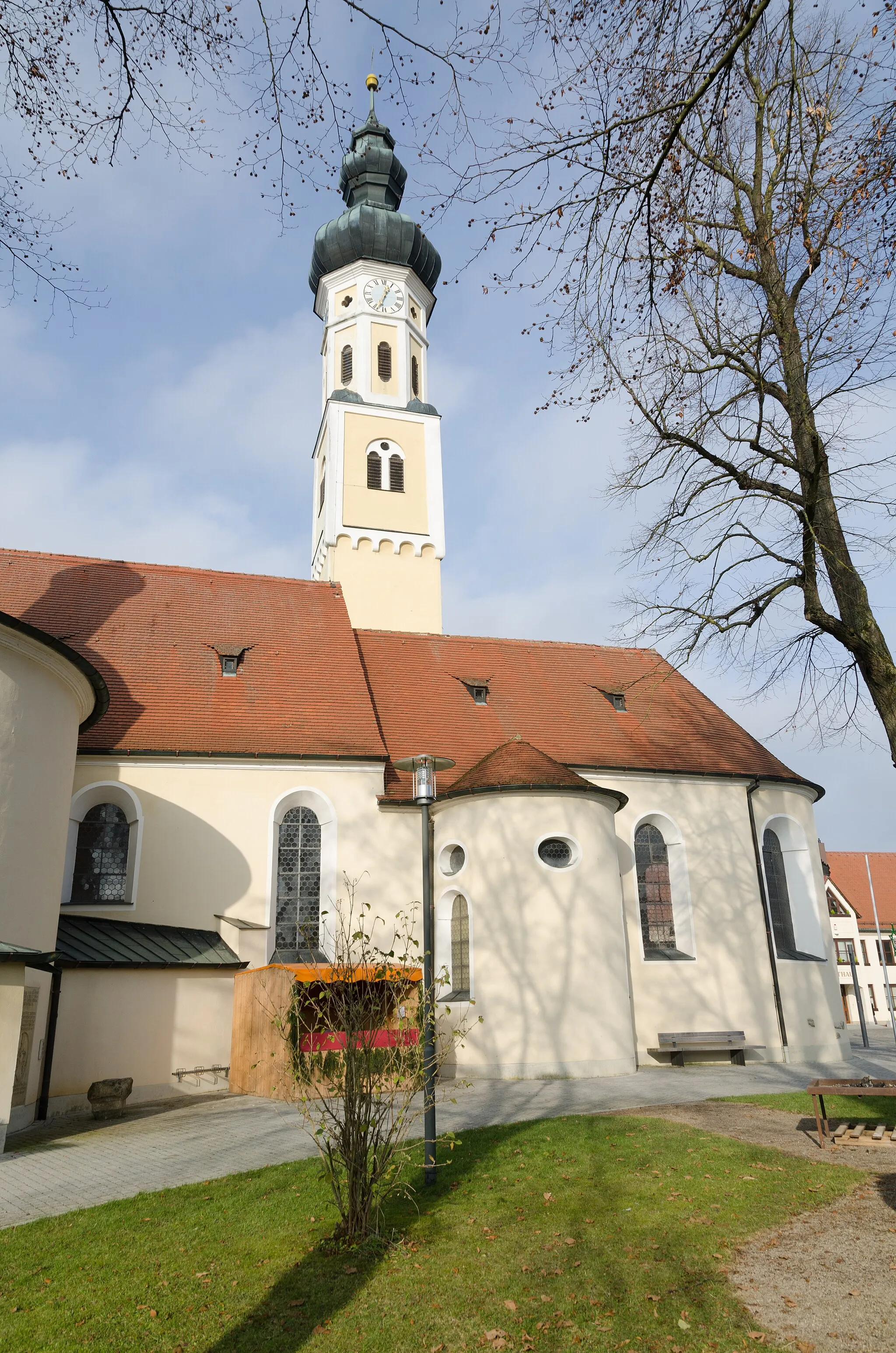
OberhagenriedHamletOberhagenried, around the 15-kilometer mark, welcomes you with scenic views of open fields and idyllic countryside.
24 km
24 km
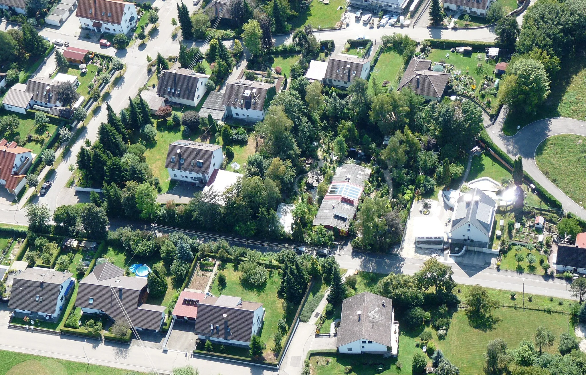
PremachVillageDiscover Premach at the 24-kilometer mark, a peaceful village surrounded by lush meadows and gentle rolling hills.
36 km
36 km
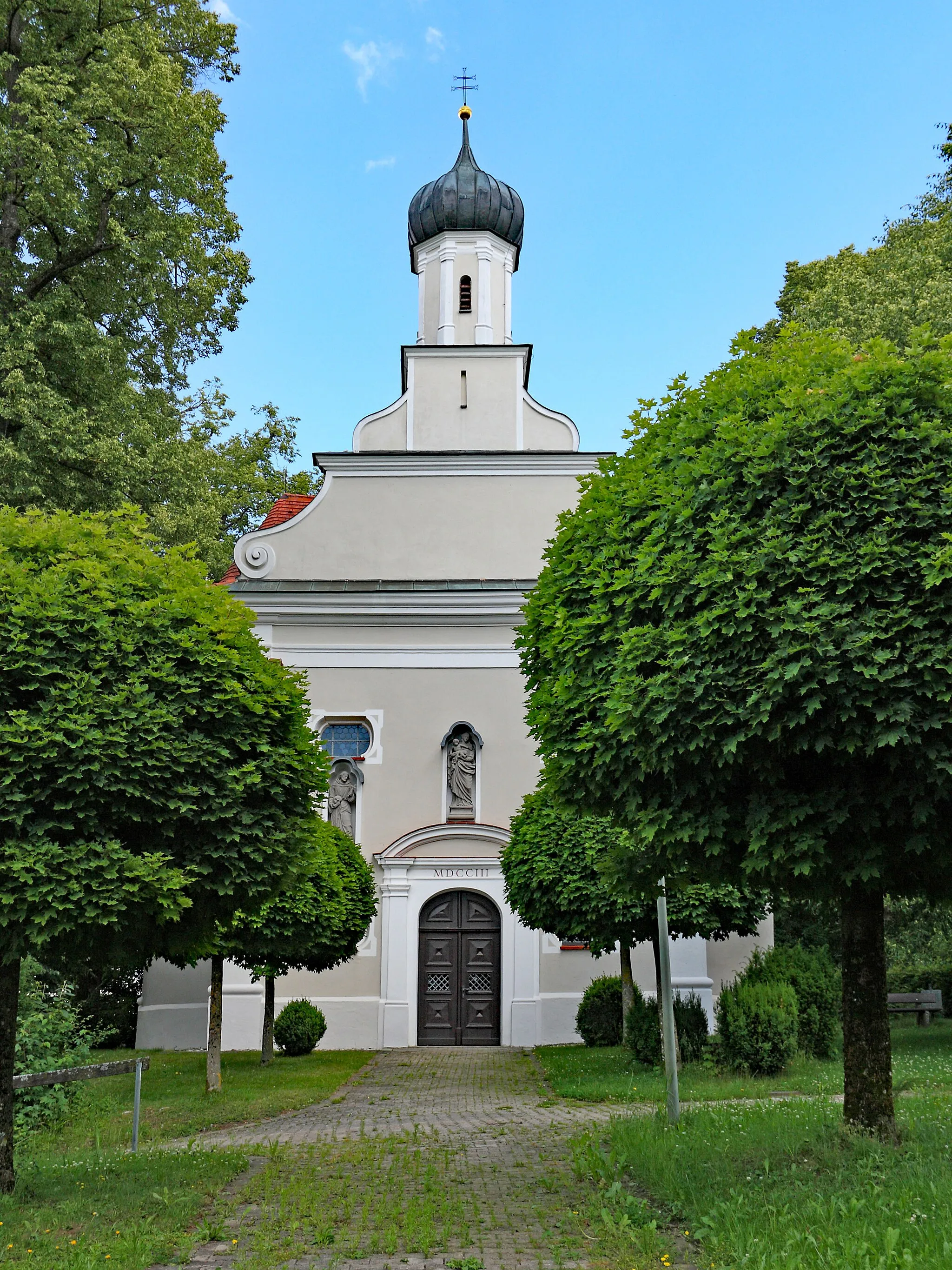
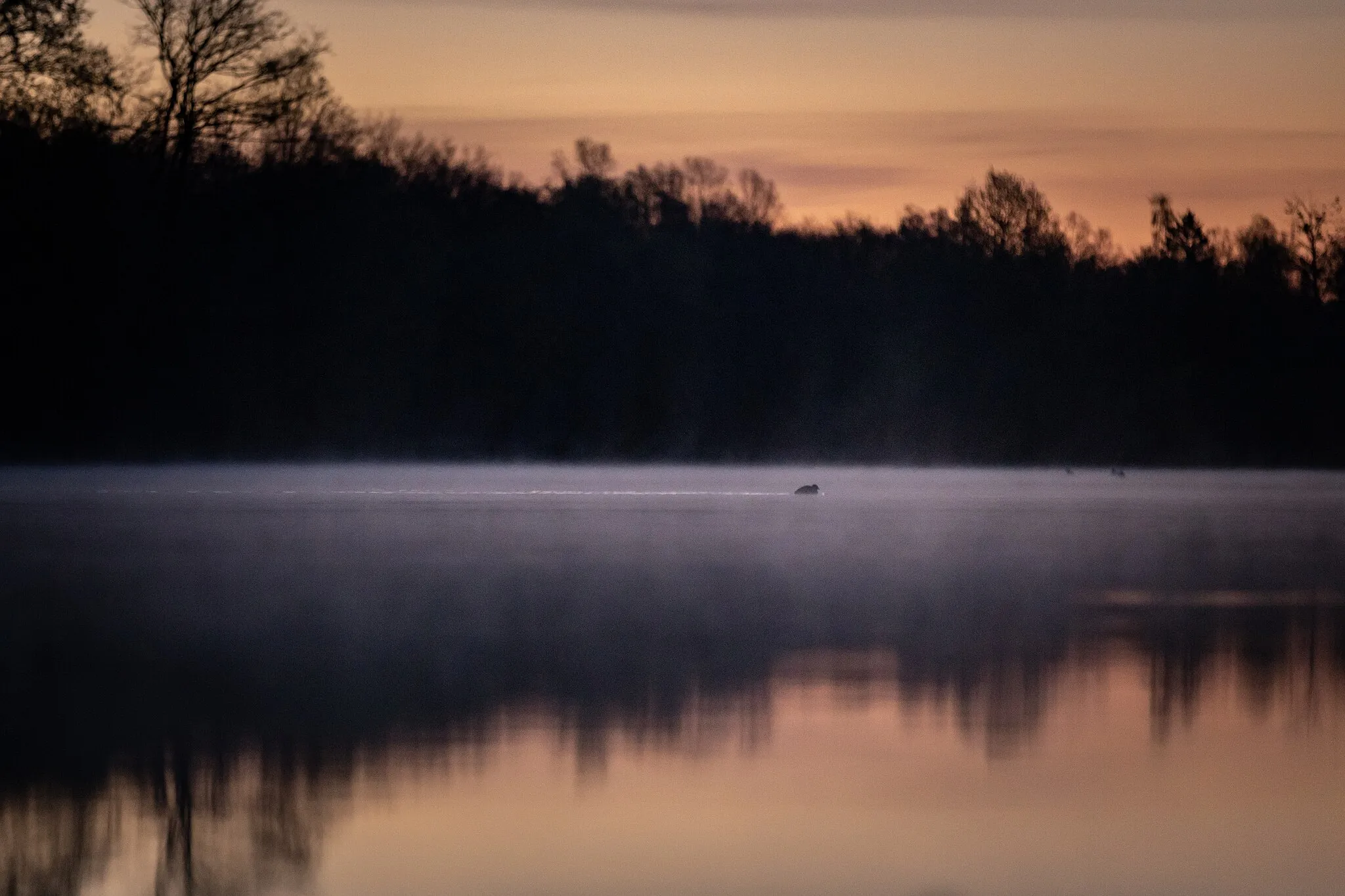
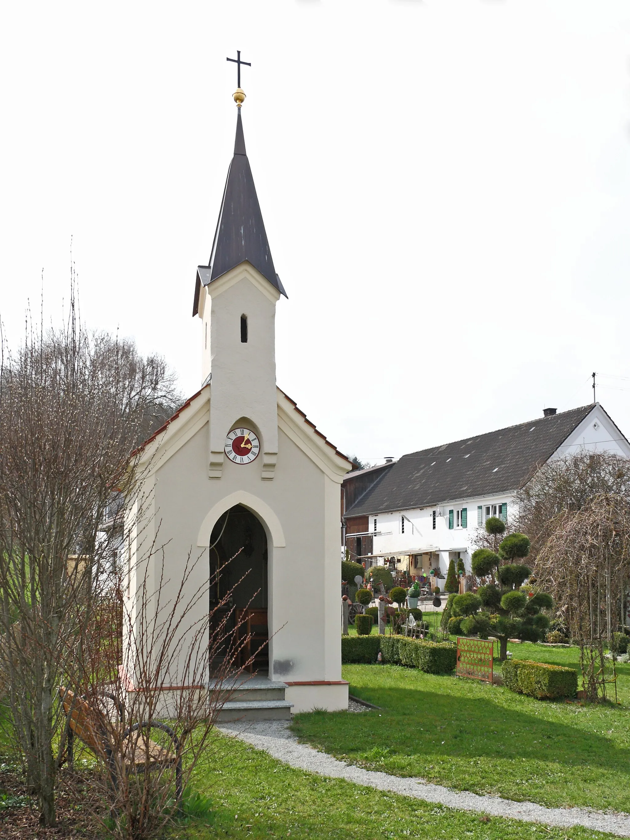
Boschhorn601 mPeakBoschhorn, found at the 36-kilometer mark, is a rustic hamlet nestled amidst picturesque landscapes and protected forests.
52 km
52 km
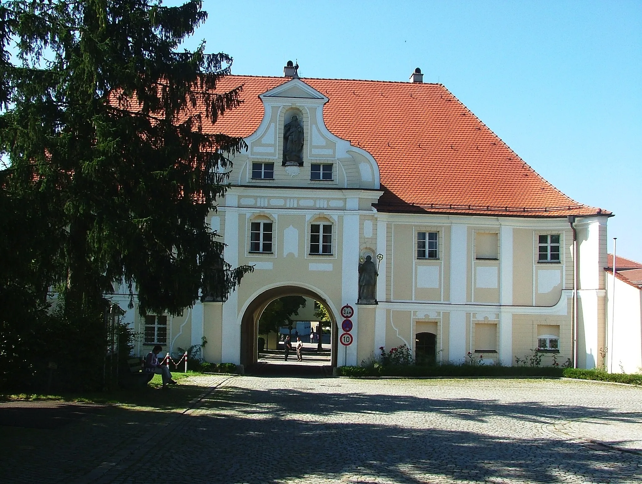
SeifertshofenVillageAt the 52-kilometer mark, Seifertshofen treats you to captivating vistas of meandering rivers and delightful valleys.
72 km
72 km
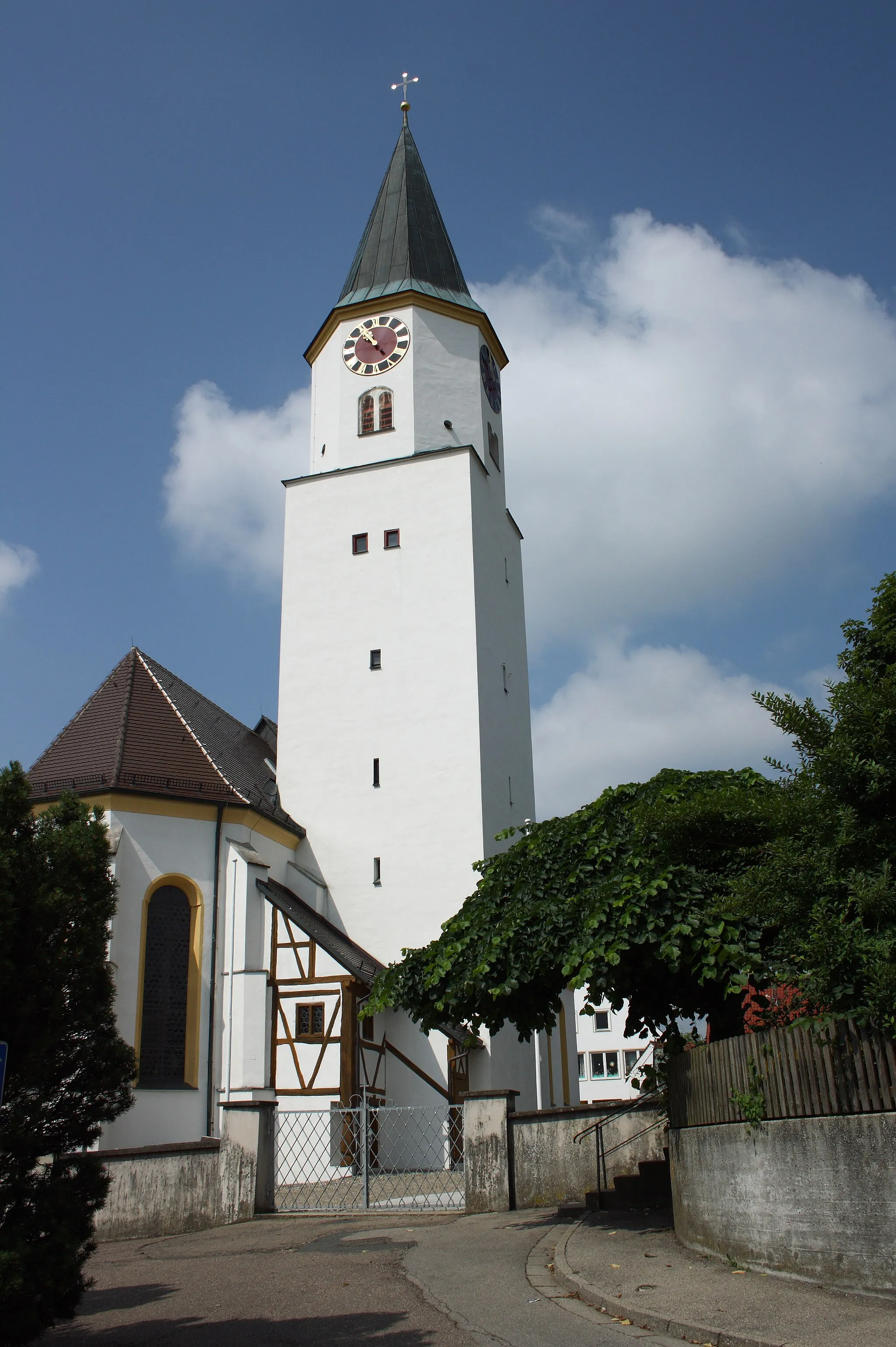
WaldstettenVillageAround kilometer 72, Waldstetten enchants with its tranquil atmosphere and unspoiled natural surroundings.
79 km
79 km
Finish: Hochwang Village centerIchenhausen: Cycling through idyllic countryside in Ichenhausen
Cycling routes from Ichenhausen:
The Günztal Panorama Route The Gravel Adventure of Bubesheim The Oxenbronn Adventure The Epic Road Cycling Tour: Discovering Glöttweng The Oxenbronn Loop The Gravel Cycling Paradise: Boschhorn The Rieden Escape The Road Adventure: Exploring the Beauty of Kleinaitingen The Ultimate Road Cycling Challenge: Discover the Kötz Valley The Keuschlingen Circuit
Cycling routes nearby: