Gravel Adventure through Schwaben
A gravel cycling route starting from Kutzenhausen
Immerse yourself in the rural landscapes of Schwaben on this challenging gravel adventure.
Map
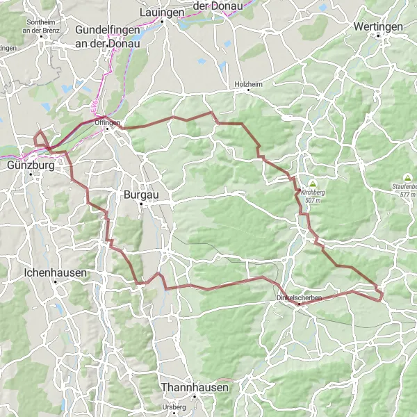
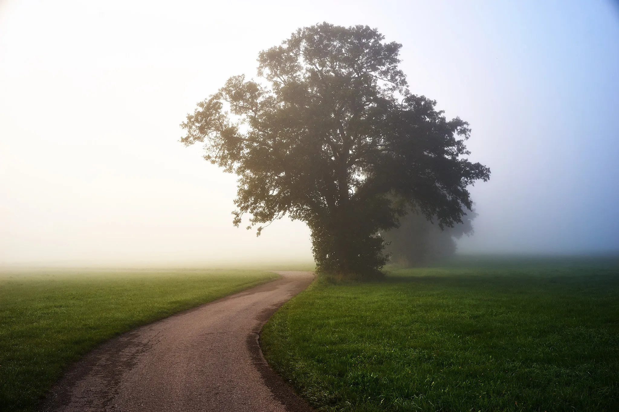
Embark on a 90-kilometer gravel journey through the picturesque region of Schwaben, known for its beautiful rural landscapes and charming villages. This route offers a mix of gravel roads and scenic countryside, perfect for adventurous cyclists seeking a challenge. With a total ascent of 892 meters, expect some moderate climbs along the way. Get ready to explore the highlights of Dinkelscherben, Goldbach, Offingen, Glött, Lauinger Berg, Zusmarshausen, and Steinberg, each offering their own unique charm.
gravel
90 km
892 m
Tough
Route profile
Highlights on the route
0 km
0 km
Start: Buch Village centerKutzenhausen: Cycling Retreat in Schwaben, Germany
Kutzenhausen, situated in Schwaben, Germany, is a hidden gem for road and gravel cyclists. With its serene countryside roads and picturesque landscapes, it provides the perfect setting for a peaceful and immersive cycling journey. Notable cycling attractions nearby include the Romantic Road route and the challenging climb to Schloss Hohenaschau. Kutzenhausen's tranquility and cycling-friendly atmosphere make it an ideal locality for cyclists seeking to escape the hustle and bustle of city life.7 km
7 km
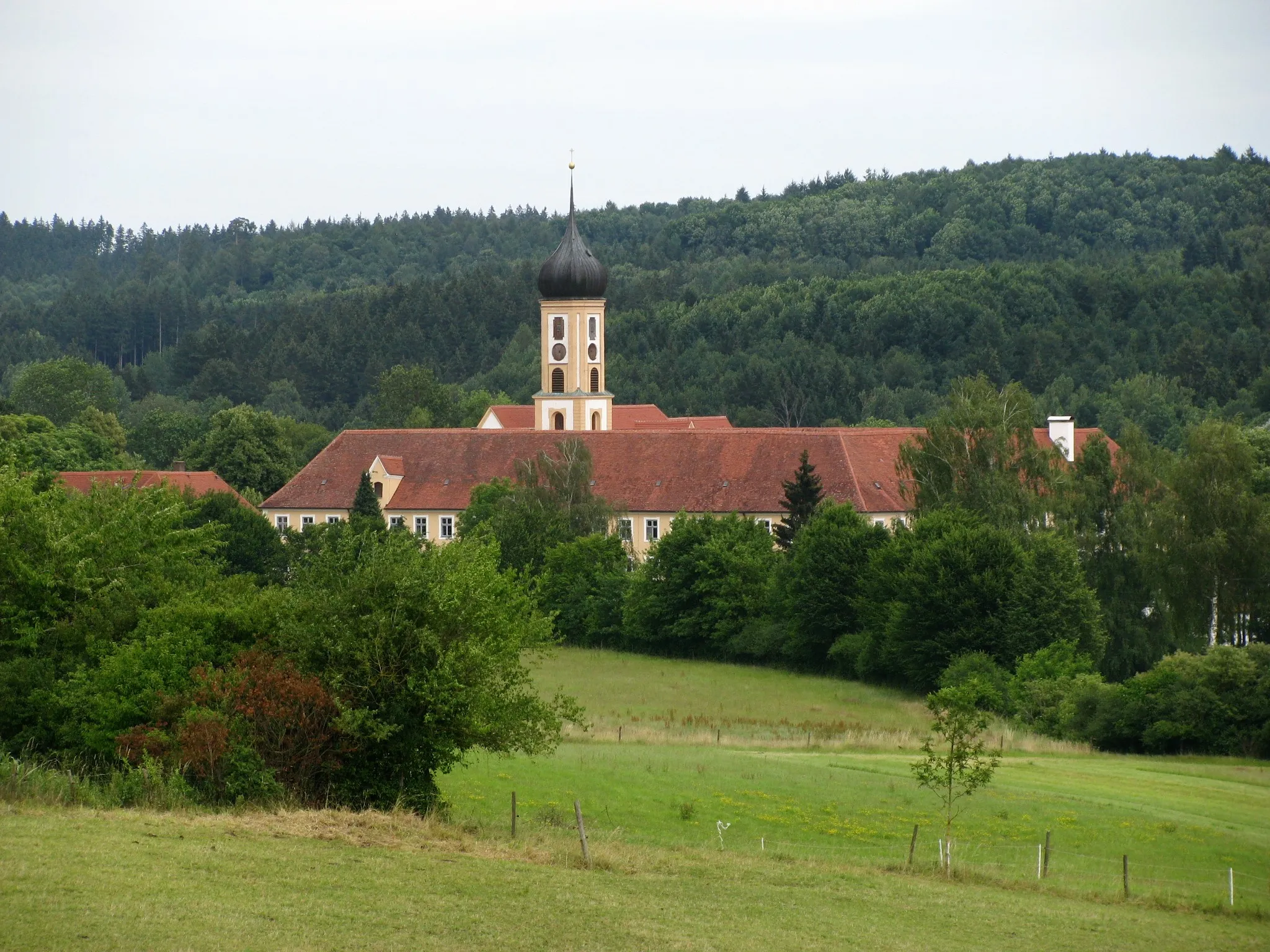
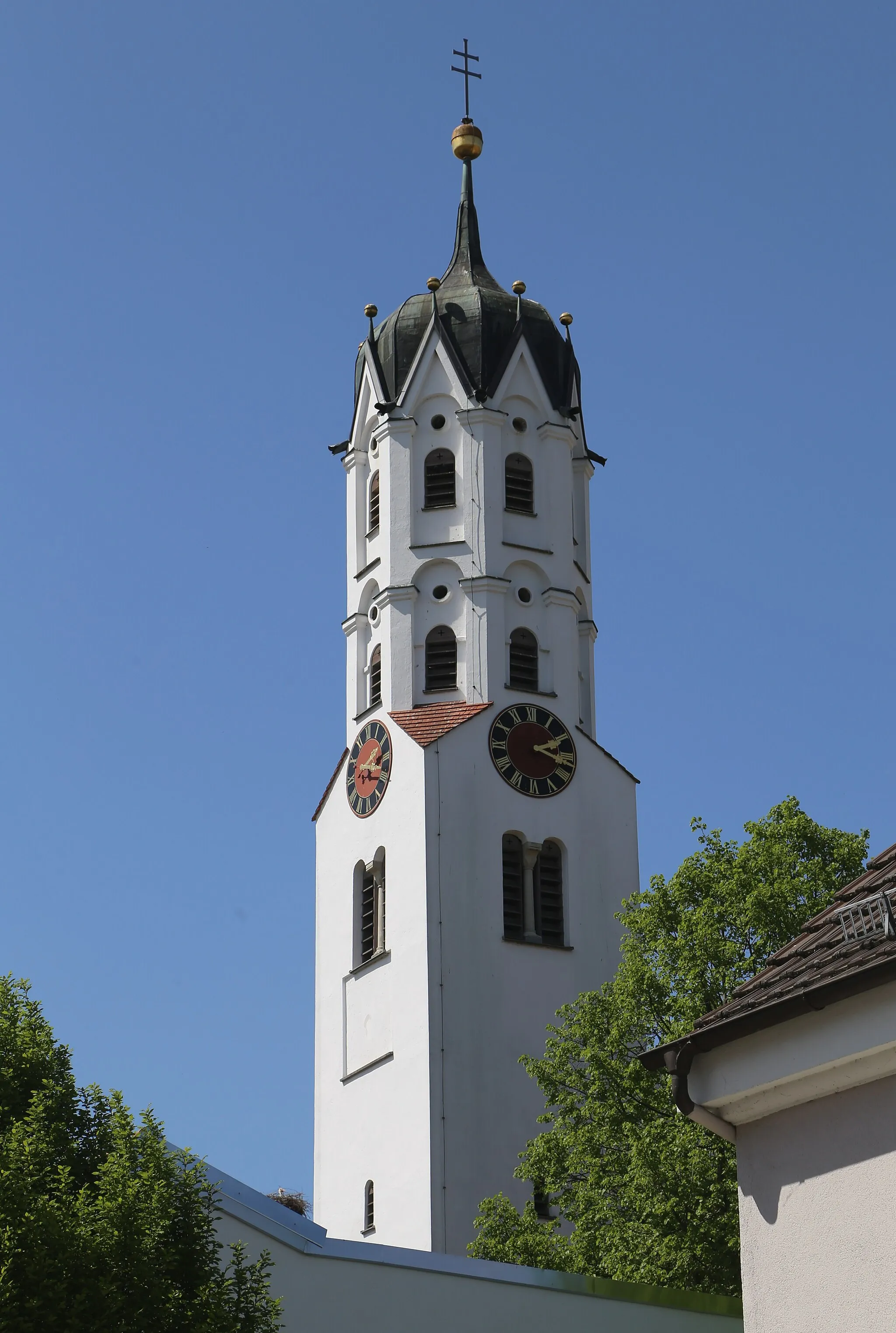
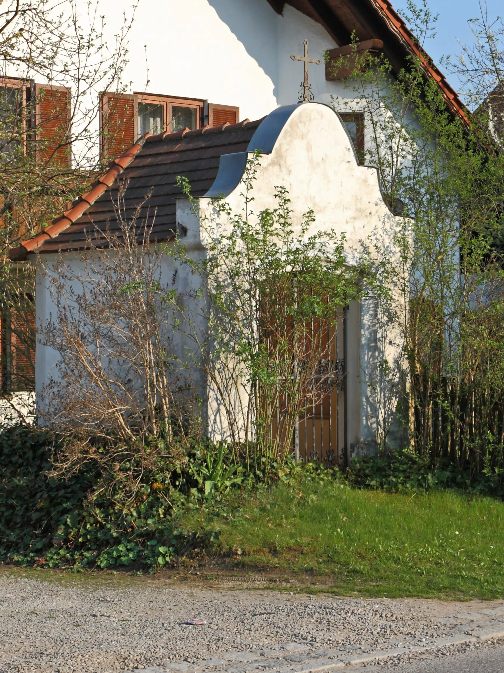
DinkelscherbenVillageDinkelscherben, a quaint village known for its well-preserved historic buildings and charming atmosphere.
28 km
28 km
GoldbachVillageGoldbach, located along the banks of the Goldbach river, offers stunning views of the surrounding countryside.
52 km
52 km
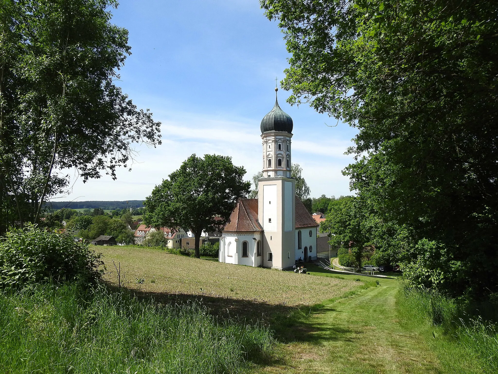
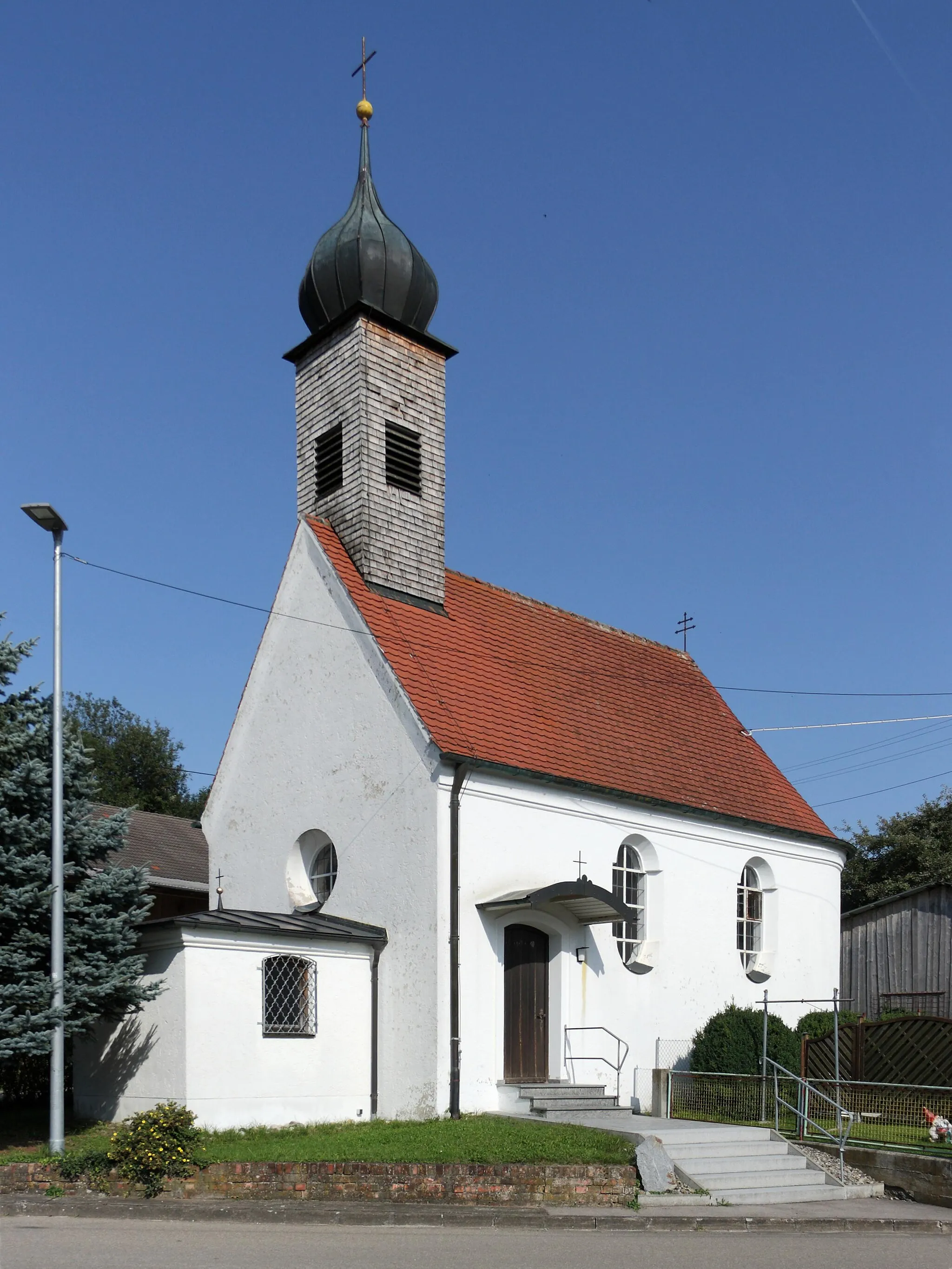
OffingenVillageOffingen, a delightful town known for its beautiful churches and historic sites.
62 km
62 km
GlöttVillageGlött, a small village surrounded by peaceful nature, perfect for a relaxing break during the ride.
65 km
65 km
Lauinger Berg501 mPeakLauinger Berg, a scenic hill offering panoramic views of the surrounding countryside.
80 km
80 km
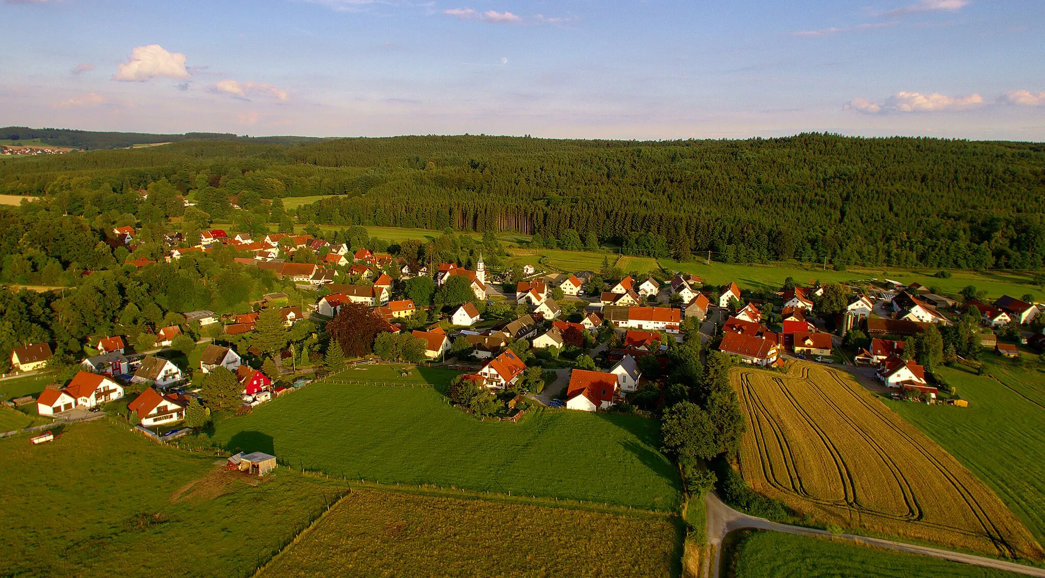
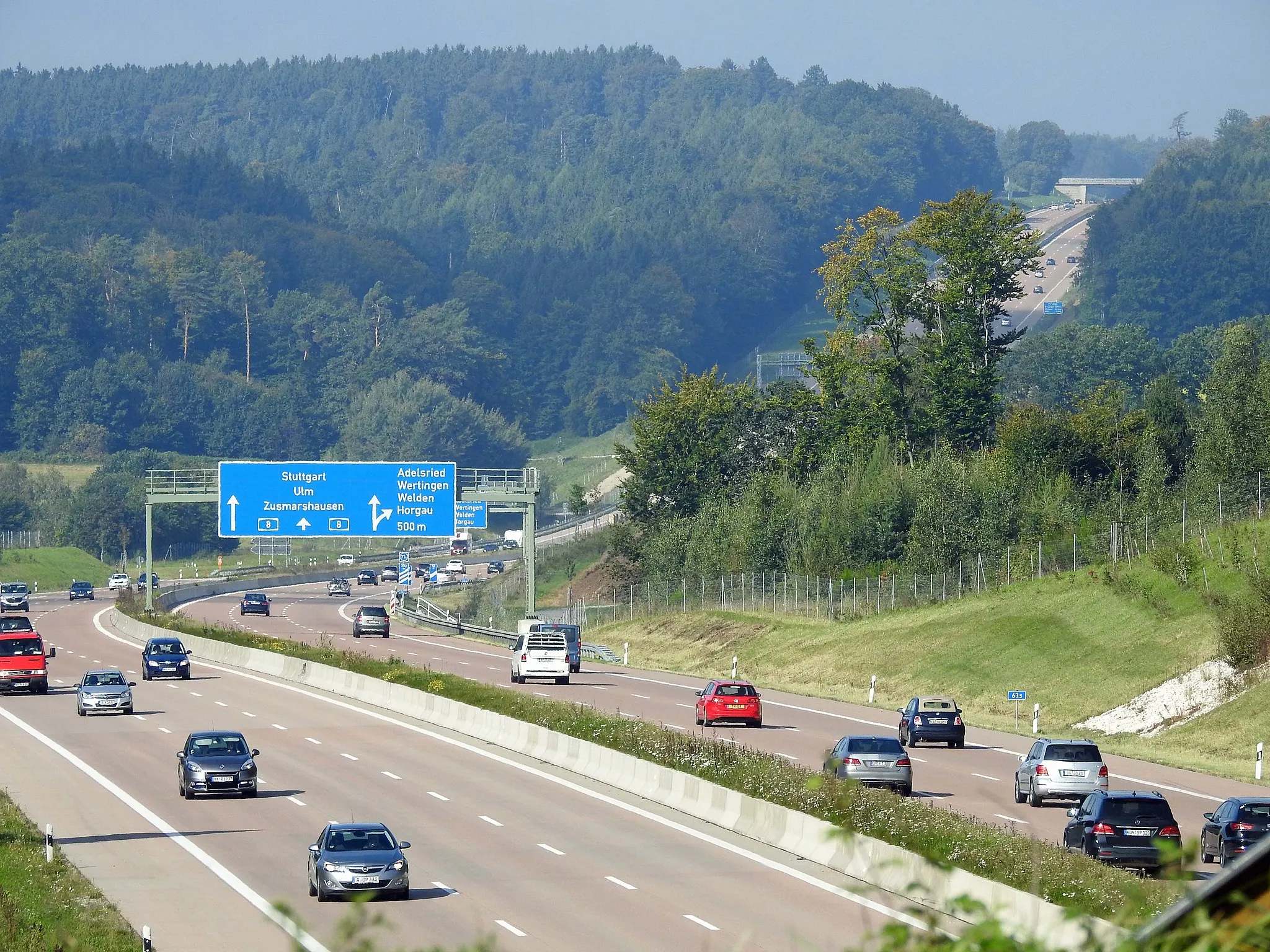
ZusmarshausenVillageZusmarshausen, a charming town with a rich history and well-preserved architecture.
85 km
85 km
Steinberg549 mPeakSteinberg, known for its beautiful rural landscapes and tranquil atmosphere.
90 km
90 km
Finish: Buch Village centerKutzenhausen: Cycling Retreat in Schwaben, Germany
Cycling routes from Kutzenhausen:
Diedorf and the Schmuttertal Horgau and Gersthofen Loop Augsburg to Moorenweis Adventure Discovering Ustersbach and Steinberg Horgau to Thierhaupten Expedition Gravel Adventure through Schwaben Road Cycling Adventure in Schwaben Scenic Road Cycling through Schwaben Scenic Gravel Adventure in Schwaben Cycling Adventure through Bavarian Landscapes Road Cycling Adventure towards Fischach Gravel Ride to Balzhausen and Ziemetshausen Gravel Ride to Augsburg and Riegele BierHimmel Scenic Road Cycling Route to Reitenbuch
Cycling routes nearby: