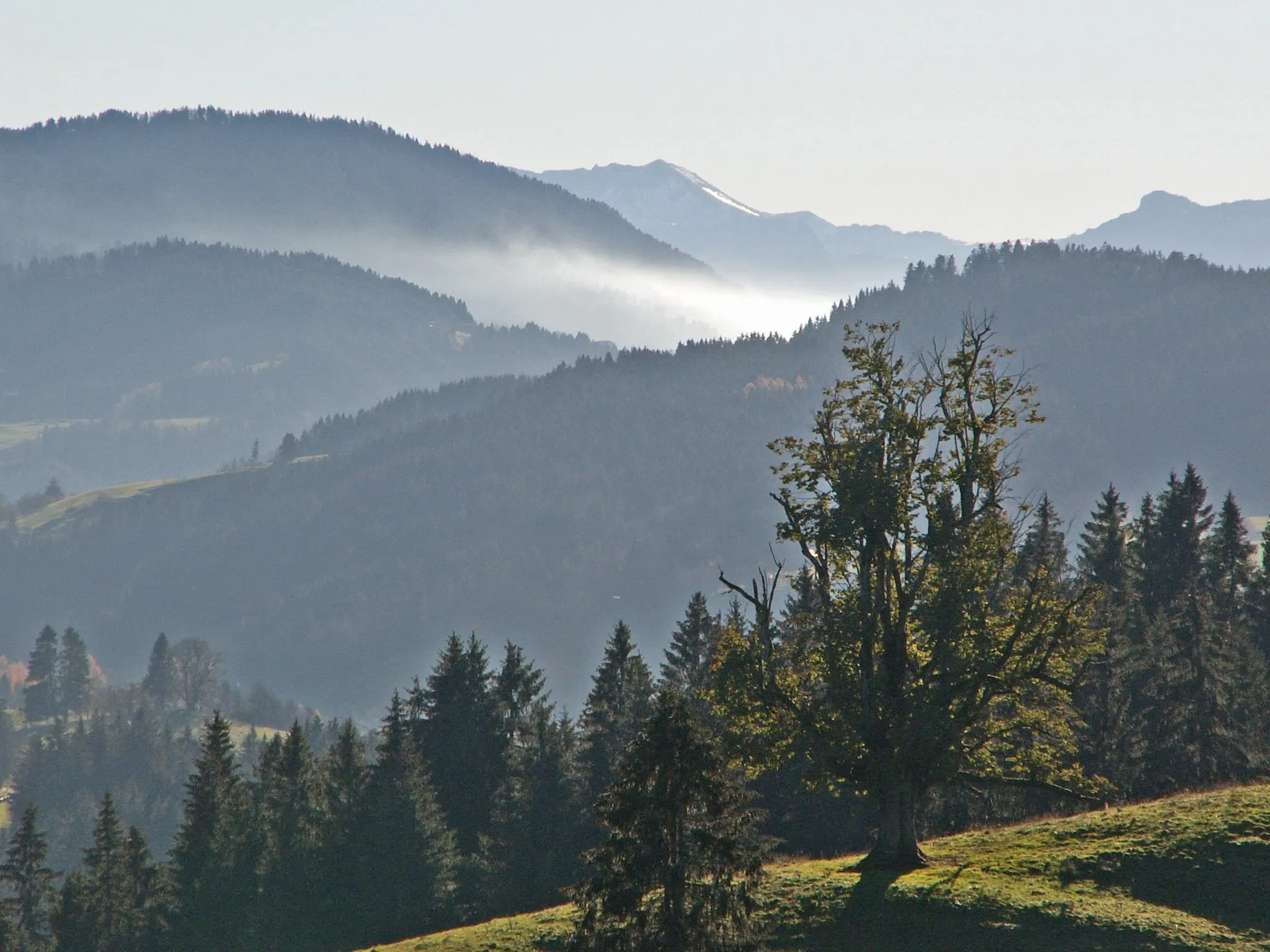
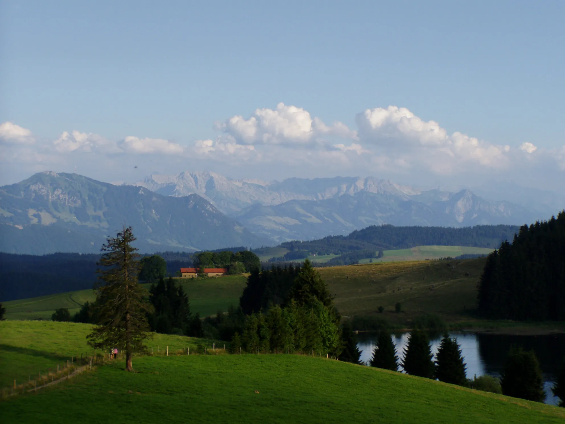
Cycling in the scenic region of Schwaben, Germany
Cycling routes from Maierhofen
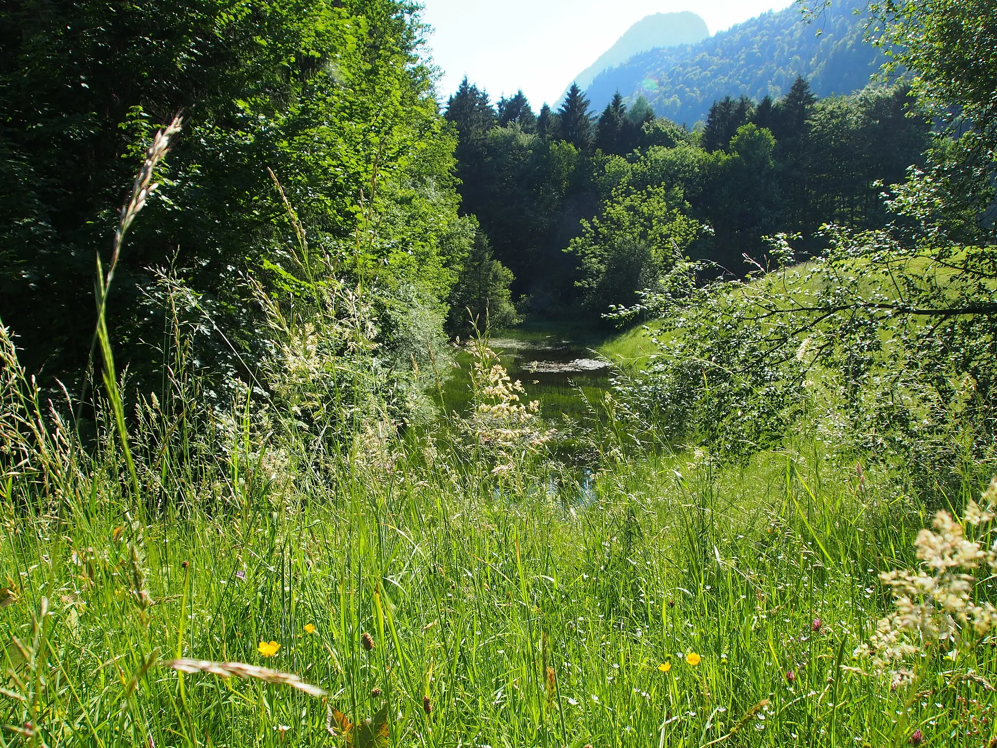
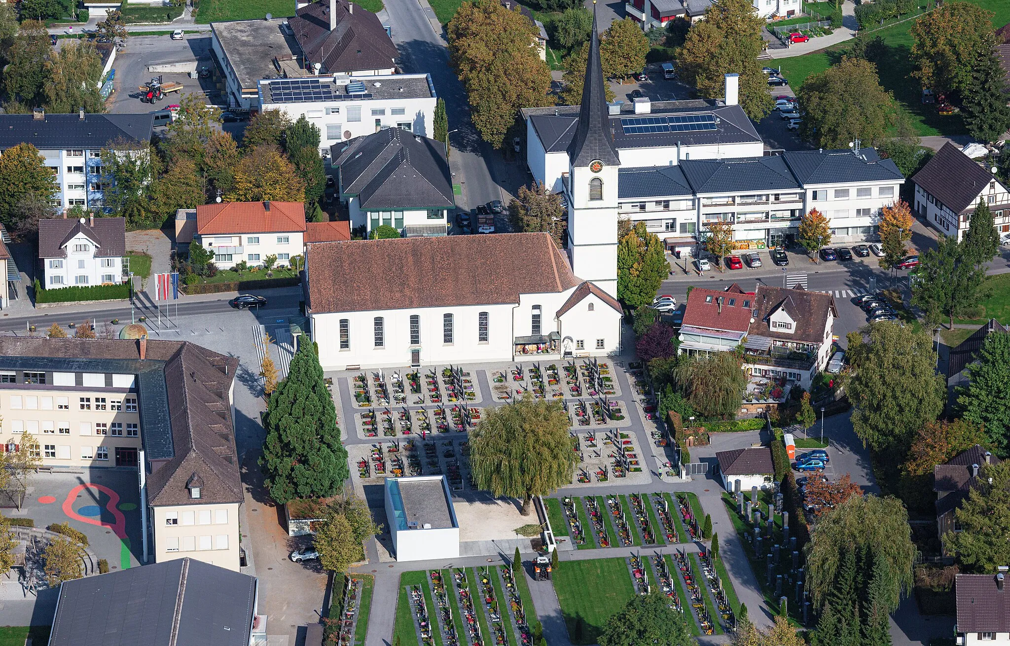
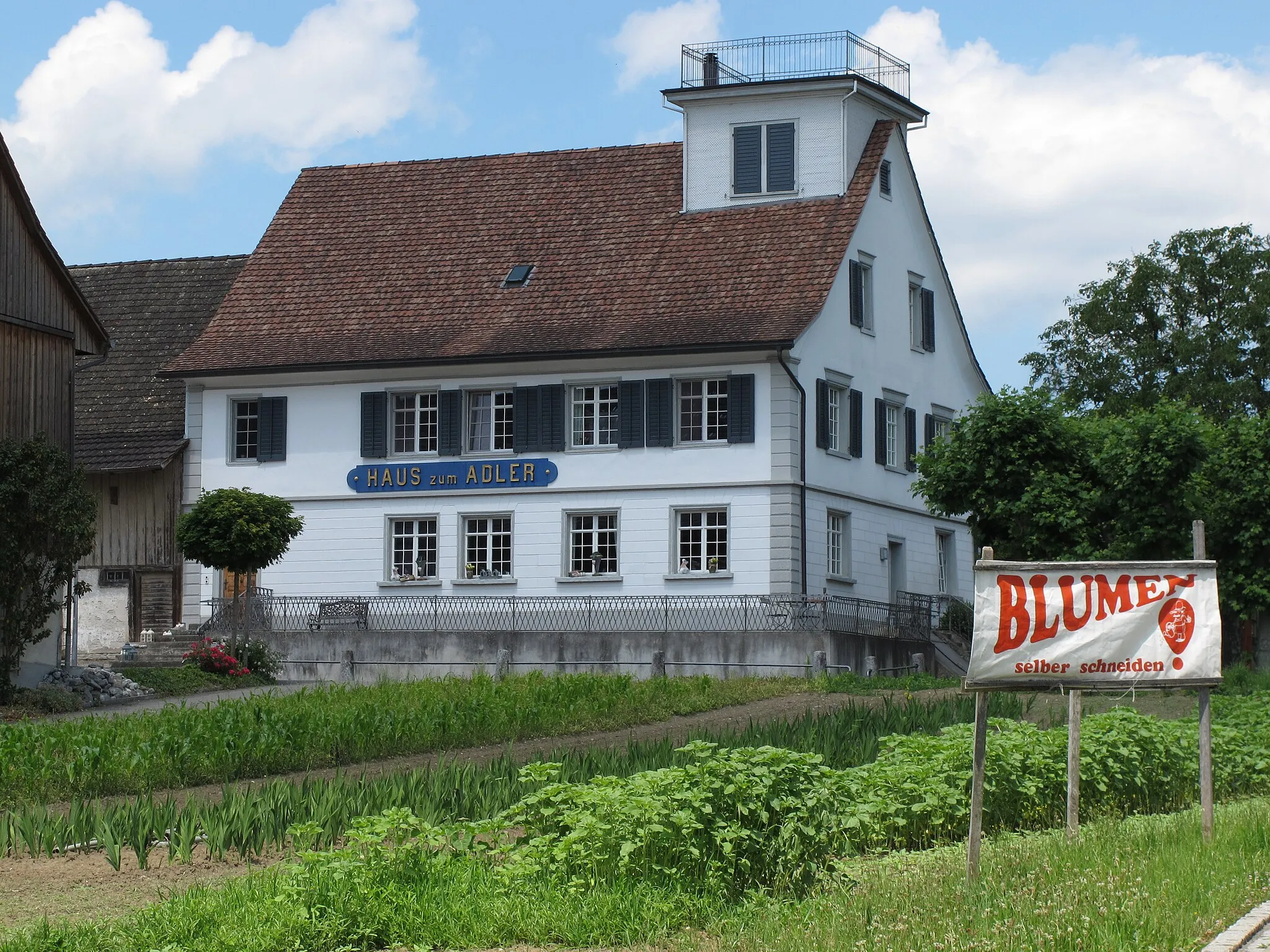
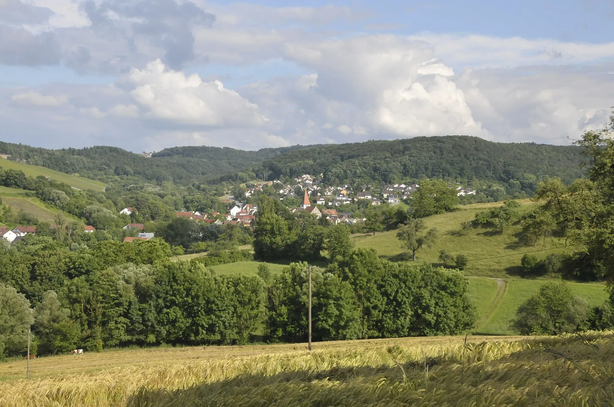
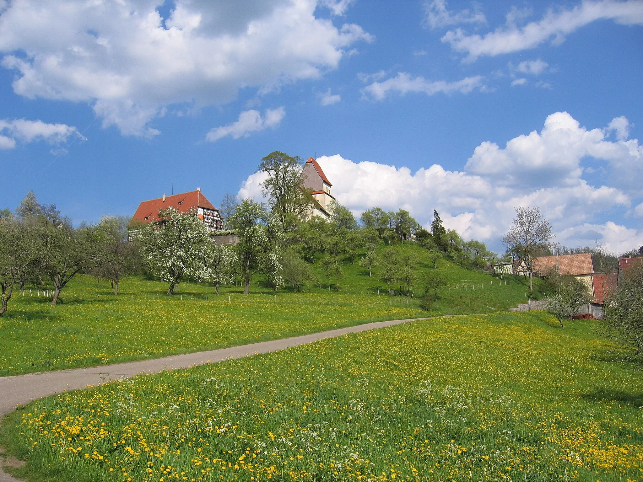
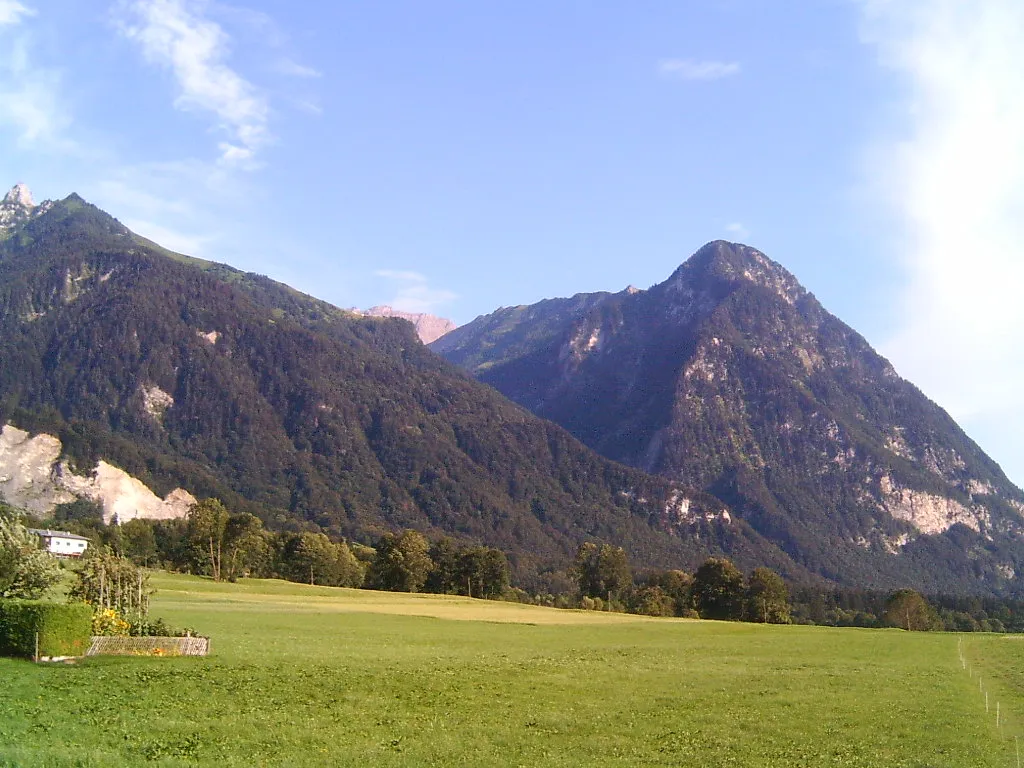
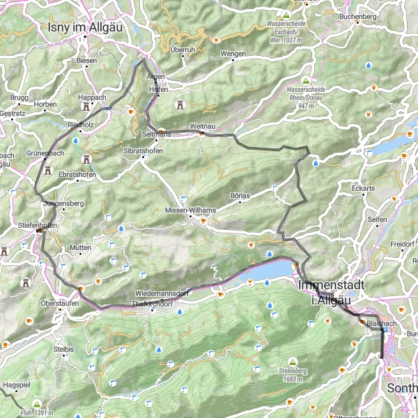
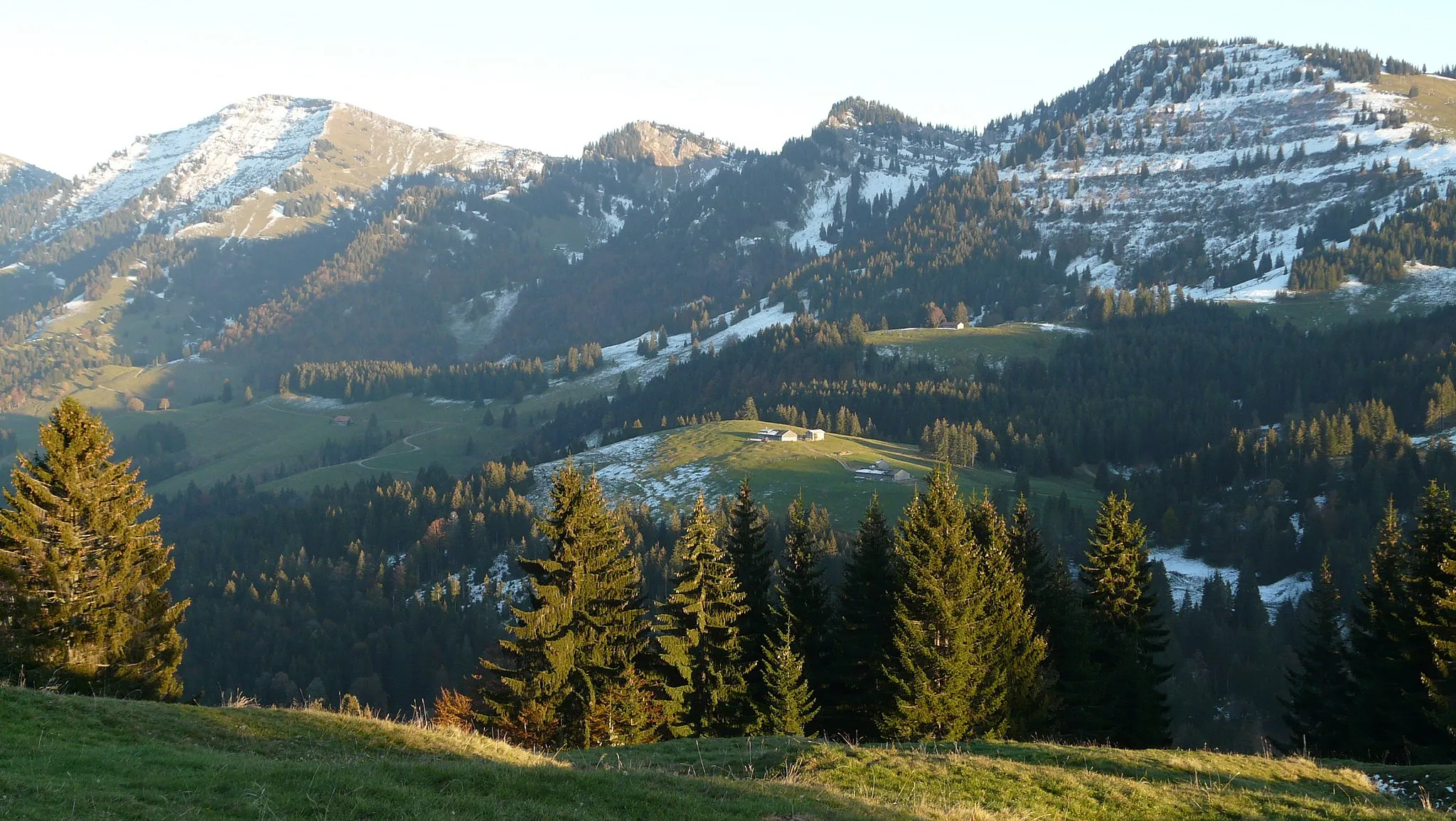
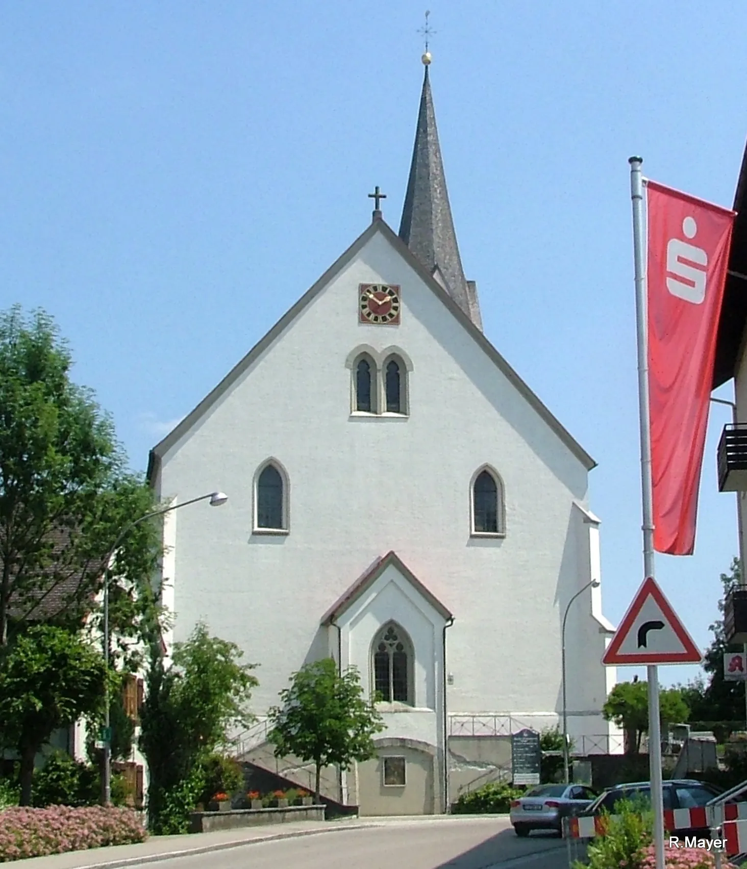
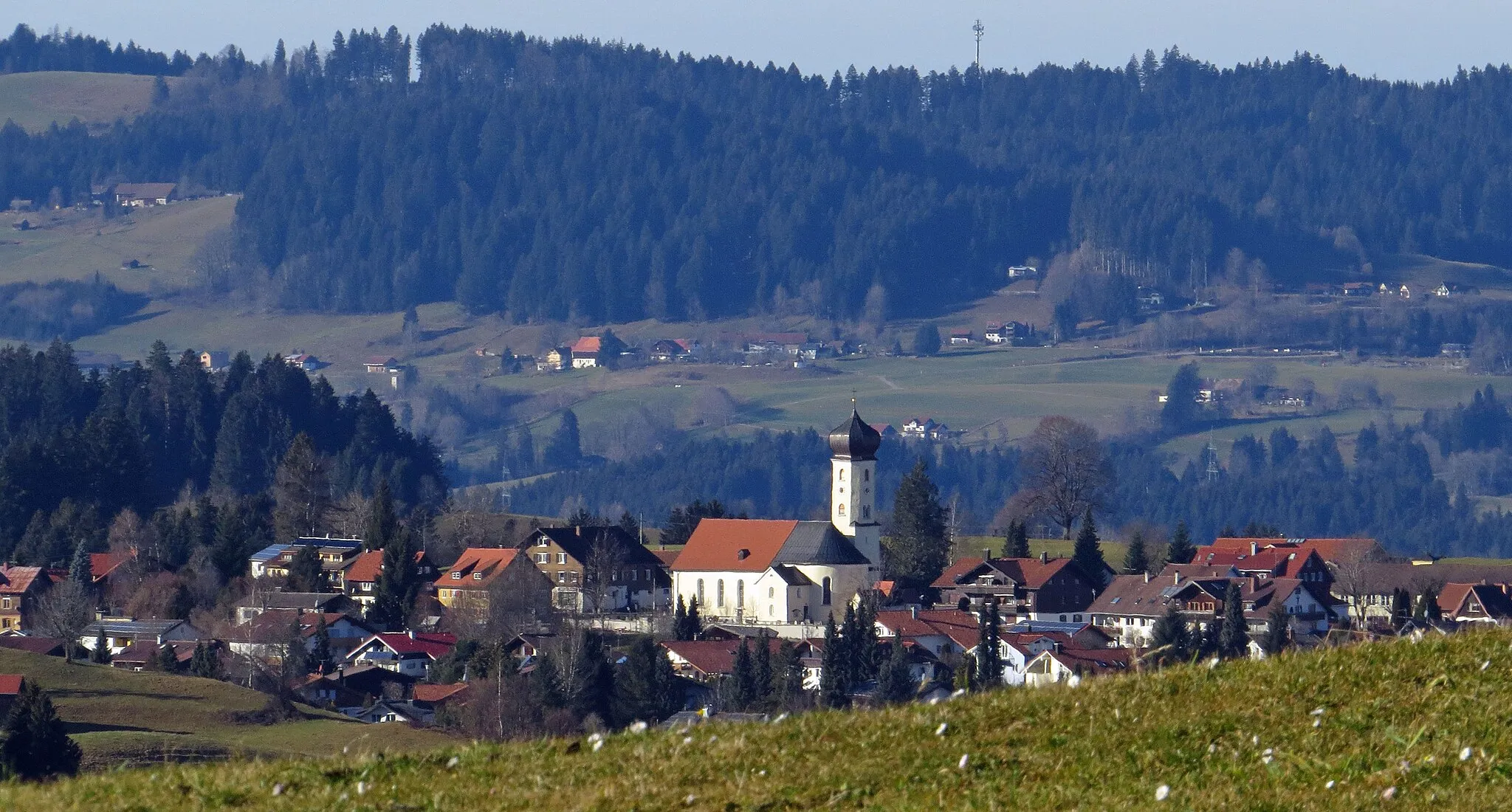
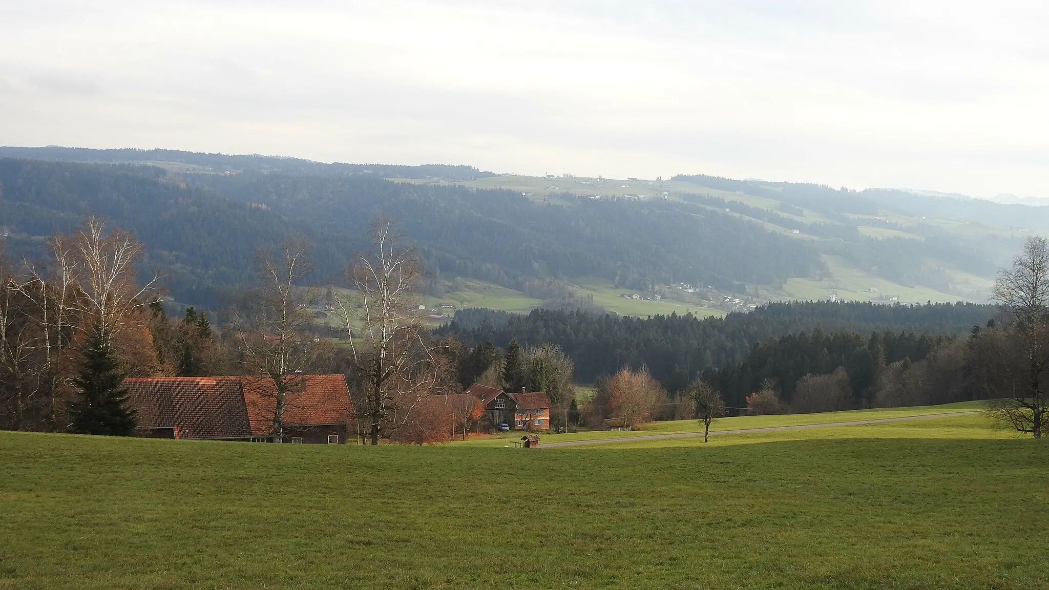
Maierhöfen is a locality in Schwaben, Germany. From the perspective of a road and gravel cyclist, Maierhöfen offers some exciting cycling routes. The surrounding region of Schwaben features rolling hills and scenic landscapes, making it a great destination for outdoor enthusiasts. One of the famous cycling-related spots nearby is the Allgäu Alps, known for their challenging mountain climbs and stunning views. Cyclists can also explore the picturesque small towns in the area, taking in the local culture and cuisine. Overall, Maierhöfen and Schwaben offer a diverse range of cycling options, catering to both leisure riders and more experienced cyclists.
Hidden Gems of Maierhöfen
Uncover the beautiful landscape and charming villages in this hidden gem of Schwaben
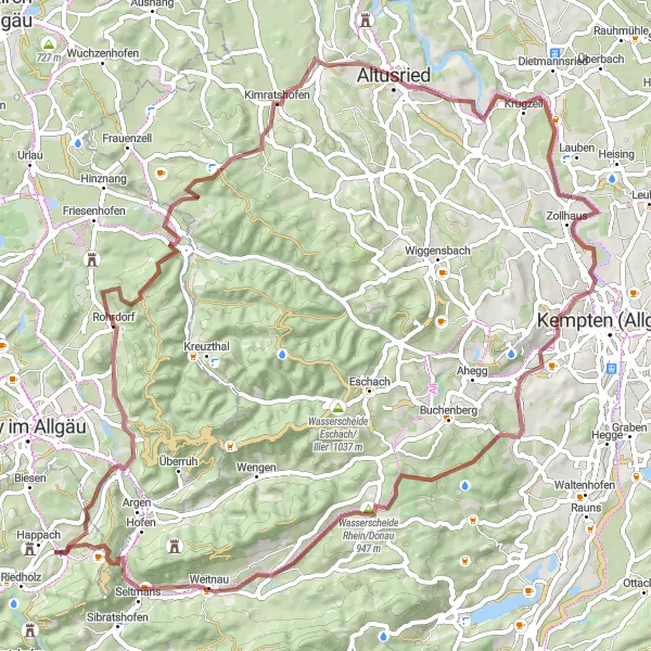
This route takes you through the stunning Schwaben countryside, with its rolling hills, picturesque villages, and breathtaking scenery. With a moderate distance of 76 kilometers and an ascent of 1152 meters, it is suitable for well-trained amateurs. The gravel paths provide a unique cycling experience, allowing you to explore off the beaten track. Highlights along the route include Rohrdorf, known for its traditional Bavarian architecture, Bärenbühl, offering panoramic views over the surrounding valleys, and Kimratshofen, home to a historic monastery. Overall, this route offers a peaceful and immersive cycling journey through the heart of Schwaben.
An epic tour with historical attractions and scenic beauty
Embark on the Isny Explorer, an epic cycling route that takes you through the inspiring landscapes near Maierhöfen. With a distance of 110 km and an ascent of 910 m, this road cycling route is perfect for experienced cyclists seeking a challenging adventure. Along the way, you'll encounter several highlights, including Hochstädt, a picturesque village known for its natural beauty and historic charm. IsnyOval, Schloss, Volkratshofen, Herbishofen, Reicholzried, Buchenberg, Hasenberg, and Neppen are other highlights that add to the allure of this route.
Embark on a thrilling cycling adventure through Goßholz and Siggen
This gravel route leads you through the enchanting villages of Goßholz and Siggen, known for their rich cultural heritage and natural beauty. With a distance of 82 kilometers and an ascent of 1207 meters, this route is suitable for experienced cyclists seeking a challenge. Highlights along the way include Goßholz, famous for its traditional timber-framed architecture, and Siggen, a picturesque village nestled at the foot of the Siggener Höhe hill. With its stunning views, Marienberg Castle is another must-visit highlight. Overall, this route combines exciting cycling with the opportunity to explore charming historical sites and enjoy the region's scenic landscapes.
A thrilling ride with diverse highlights and challenging terrain
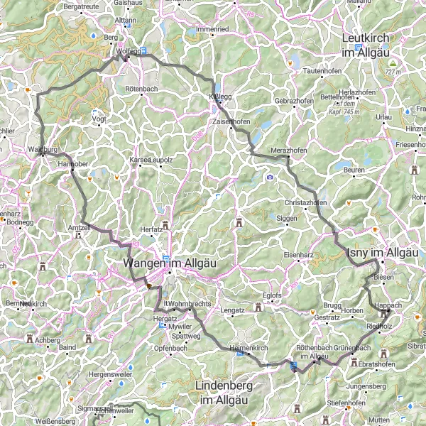
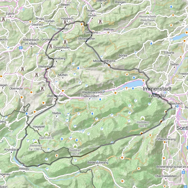
Embark on the Zwiesele Adventure, a thrilling cycling route near Maierhöfen that showcases the diverse landscapes of the region. With a distance of 92 km and a challenging ascent of 1325 m, this road cycling route is recommended for experienced cyclists. Along the way, you'll encounter several highlights, including Grünenbach, an idyllic village known for its beautiful surroundings. Zwiesele, Niederwangen, Kohlenberg, Wolfegg, Kißlegg, and Birkach are other highlights that add to the exhilarating experience of this route.
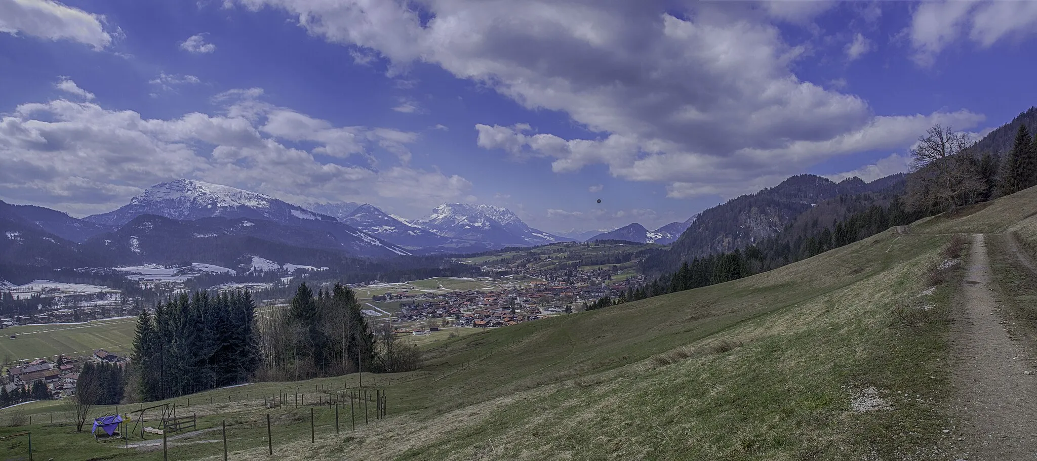
The Majestic Alps
Embark on an awe-inspiring cycling journey through the stunning Alps.
This round-trip cycling route starting near Maierhöfen takes you on an unforgettable adventure through the majestic Alps in Schwaben, Germany. With a total ascent of 1584 meters and a distance of 101 kilometers, this challenging route is perfect for experienced cyclists looking for a thrilling ride. The route is, however, friendly to amateurs with good endurance.
A challenging and diverse ride with multiple highlights
The Allgäu Adventure is a thrilling cycling route near Maierhöfen, offering a challenging challenge for well-trained amateurs. With a distance of 109 km and a demanding ascent of 1283 m, this road cycling route promises a thrilling adventure. Along the way, you'll encounter several highlights, including the Hasenberg, a picturesque hill with panoramic views, and Rohrdorf, a quaint village known for its traditional architecture. Other highlights include Kimratshofen, Untrasried, Eschers, Wildpoldsried, Stoffelberg, Ettensberg, Jordans Kapf, and Warmhalden.
The Nagelshub Challenge
A challenging ride with breathtaking viewpoints and picturesque landscapes
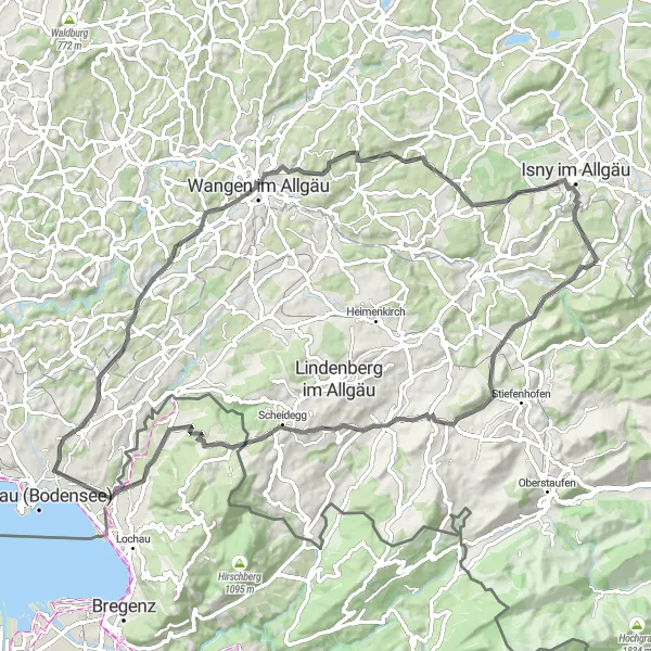
The Nagelshub Challenge is a thrilling cycling route that takes you through some of the most picturesque landscapes near Maierhöfen. With a distance of 79 km and an ascent of 1188 m, this road cycling route offers a challenging experience for seasoned cyclists. Along the way, you'll encounter several highlights, including Balzerberg, a hill with expansive views of the surrounding countryside. Nagelshub, Böserscheidegg, Kreuzberg, Weißensberger Halde, Lampertsweiler, Niederwangen, Siggener Höhe, and Hochstädt are other highlights that make this a memorable ride.
The Klausenmühle Loop
A scenic ride with a historic water mill feature
The Klausenmühle Loop is a picturesque cycling route that takes you through the beautiful countryside near Maierhöfen. With a distance of 72 km and an ascent of 870 m, this road cycling route offers a moderate challenge for cyclists. Along the way, you'll encounter several highlights including the Klausenmühle, a historic water mill that dates back centuries. The mill has been restored and is now a popular tourist attraction. Other highlights include the Bergblick viewpoint, Immenstadt i.Allgäu town, Staufner Berg, Buflings, and Grünenbach.
Embark on an epic road cycling journey through the heart of Schwaben
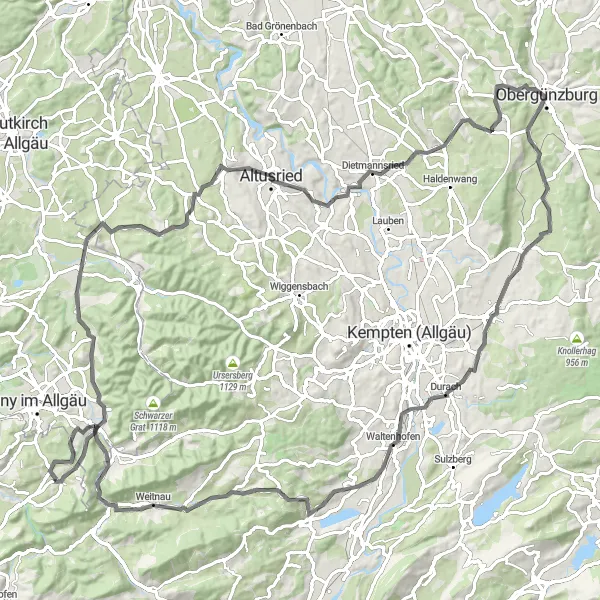
This road cycling route offers a challenging and rewarding experience for experienced cyclists. With an ascent of 1640 meters and a distance of 82 kilometers, it is suitable for those seeking a demanding route. Highlights include Seltmans, a hidden gem known for its traditional alpine architecture and scenic hiking trails. Köpfle, located at the highest point along the route, offers breathtaking panoramic views of the Schwaben region. Gunzesried is famous for its stunning natural beauty, with its rolling meadows and vibrant wildflowers. Hittisau, situated amidst picturesque mountain landscapes, provides a perfect spot for relaxation and rejuvenation. Overall, this route allows cyclists to immerse themselves in the beauty of the Schwaben region and test their endurance on challenging climbs.
Discover the beauty of Bregenz and Neuravensburg on this captivating road cycling route
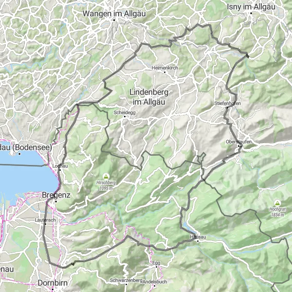
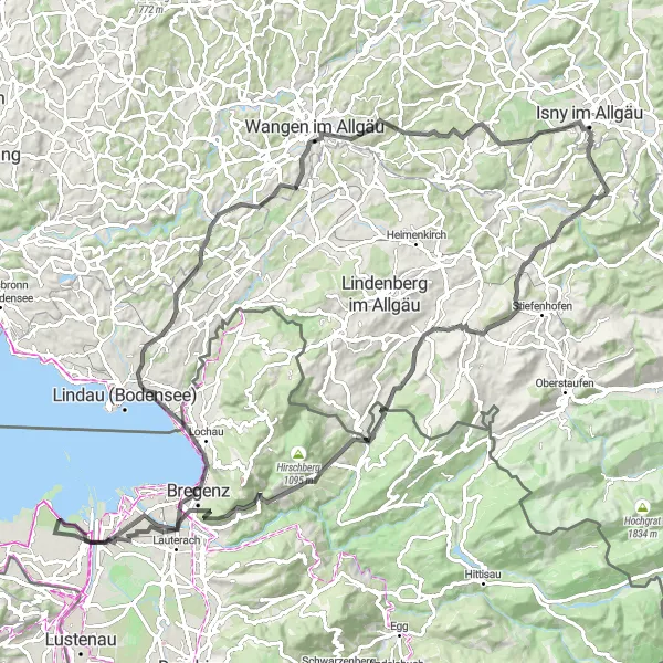
This road cycling route takes you through the scenic towns of Bregenz and Neuravensburg, showcasing the beautiful landscapes and captivating historical landmarks of the region. With an ascent of 1362 meters and a distance of 109 kilometers, this route is suitable for experienced cyclists looking for a challenging adventure. Highlights include Balzerberg, known for its scenic views of the Rhine Valley and the Swiss Alps. Nagelshub offers a peaceful contrast with its serene lakeside setting and tranquil atmosphere. Känzele boasts a majestic viewpoint overlooking Lake Constance and the surrounding mountain ranges. Burgruine Fussach is a medieval ruin situated on a hilltop, providing a glimpse into the region's feudal past. Overall, this route combines natural beauty with historical charm, making it a must-do for culture and nature enthusiasts alike.
Cycling routes nearby:


Nearby regions: