The Nagelshub Challenge
A road cycling route starting from Maierhofen
A challenging ride with breathtaking viewpoints and picturesque landscapes
Map
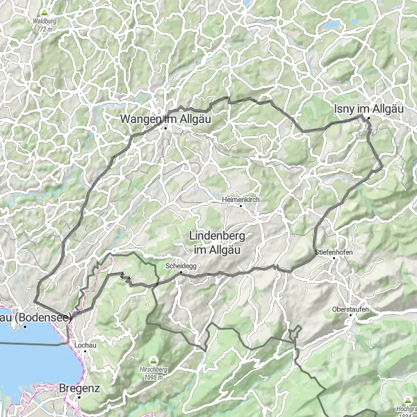
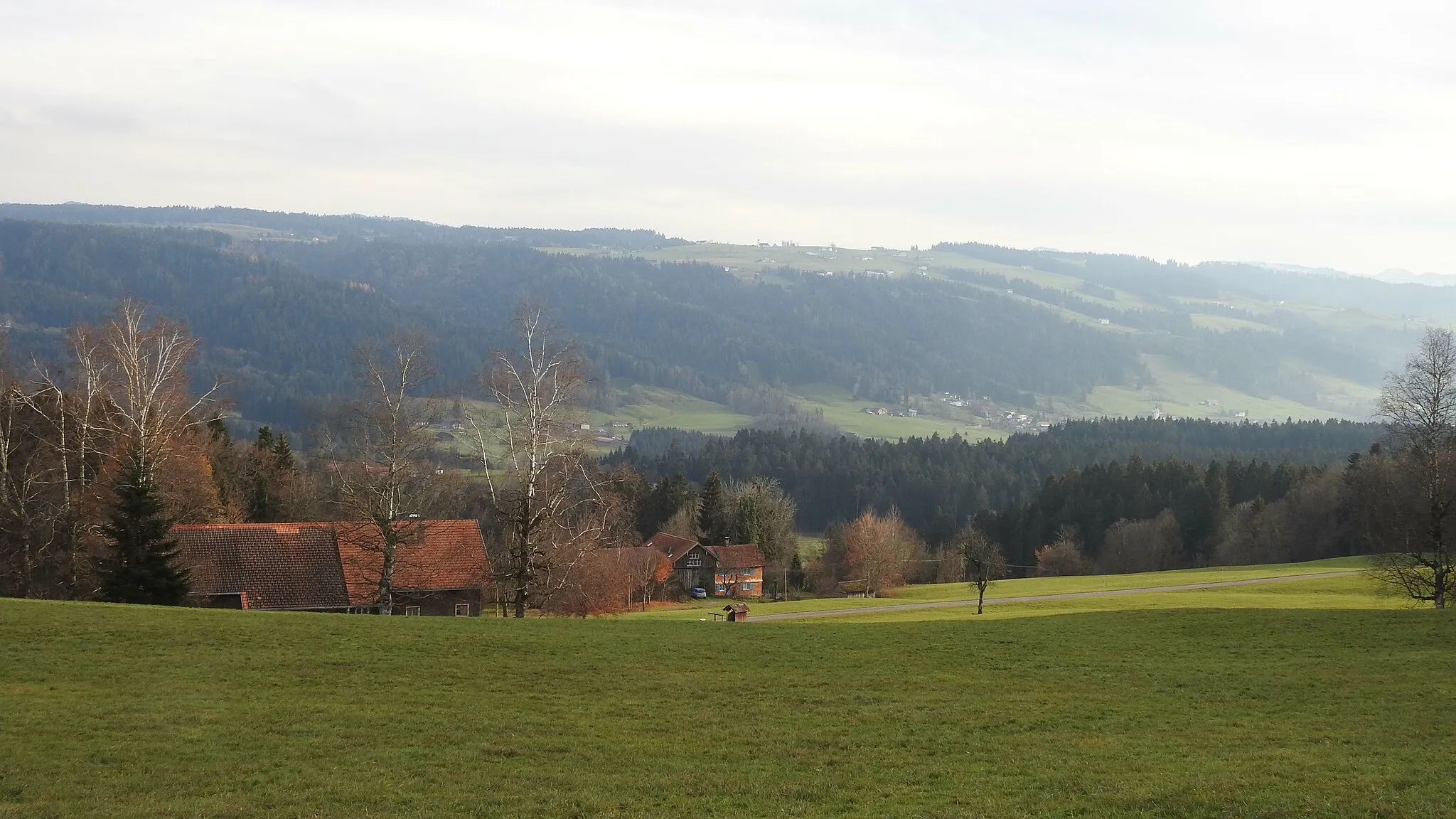
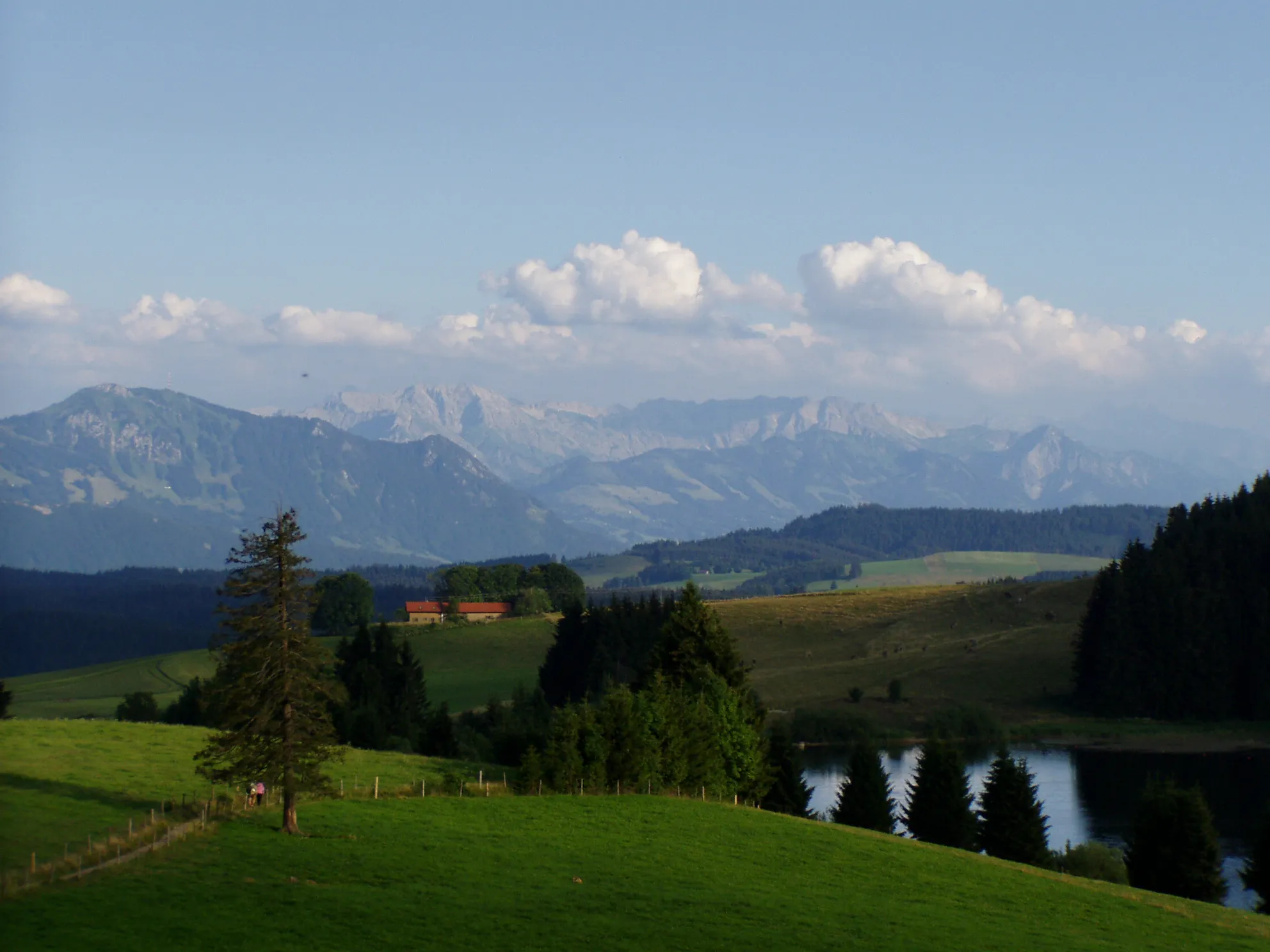
The Nagelshub Challenge is a thrilling cycling route that takes you through some of the most picturesque landscapes near Maierhöfen. With a distance of 79 km and an ascent of 1188 m, this road cycling route offers a challenging experience for seasoned cyclists. Along the way, you'll encounter several highlights, including Balzerberg, a hill with expansive views of the surrounding countryside. Nagelshub, Böserscheidegg, Kreuzberg, Weißensberger Halde, Lampertsweiler, Niederwangen, Siggener Höhe, and Hochstädt are other highlights that make this a memorable ride.
road
79 km
1188 m
Tough
Route profile
Highlights on the route
0 km
0 km
Start: Maierhöfen Village centerMaierhöfen: Cycling in the scenic region of Schwaben, Germany
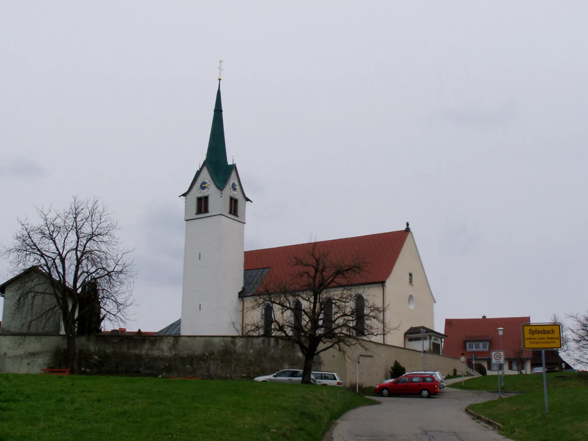
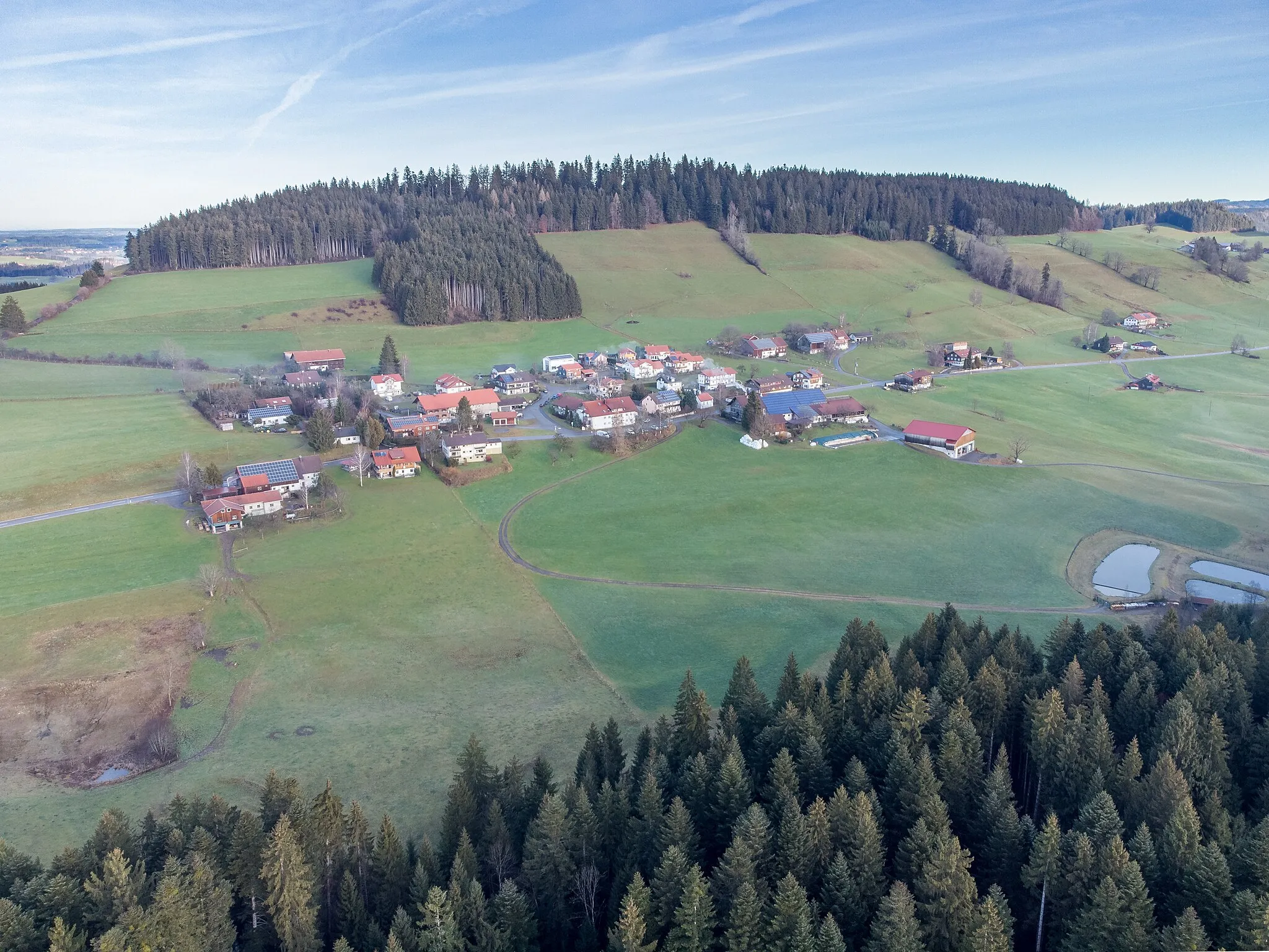
Maierhöfen is a locality in Schwaben, Germany. From the perspective of a road and gravel cyclist, Maierhöfen offers some exciting cycling routes. The surrounding region of Schwaben features rolling hills and scenic landscapes, making it a great destination for outdoor enthusiasts. One of the famous cycling-related spots nearby is the Allgäu Alps, known for their challenging mountain climbs and stunning views. Cyclists can also explore the picturesque small towns in the area, taking in the local culture and cuisine. Overall, Maierhöfen and Schwaben offer a diverse range of cycling options, catering to both leisure riders and more experienced cyclists.10 km
10 km
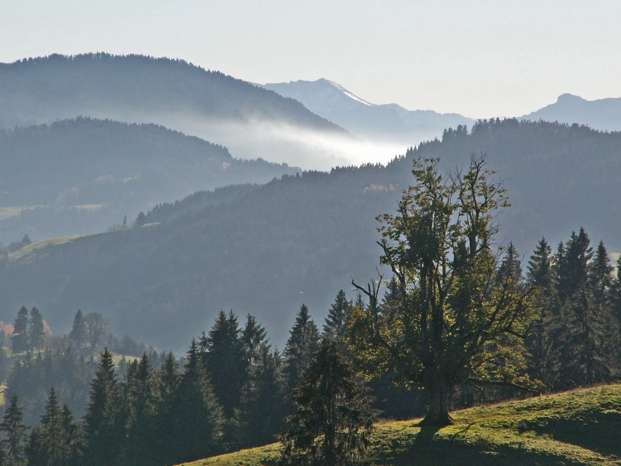
Balzerberg921 mPeakClimb Balzerberg and be rewarded with breathtaking views of the surrounding landscape.
12 km
12 km
NagelshubHamletNagelshub offers beautiful views and a serene atmosphere.
19 km
19 km
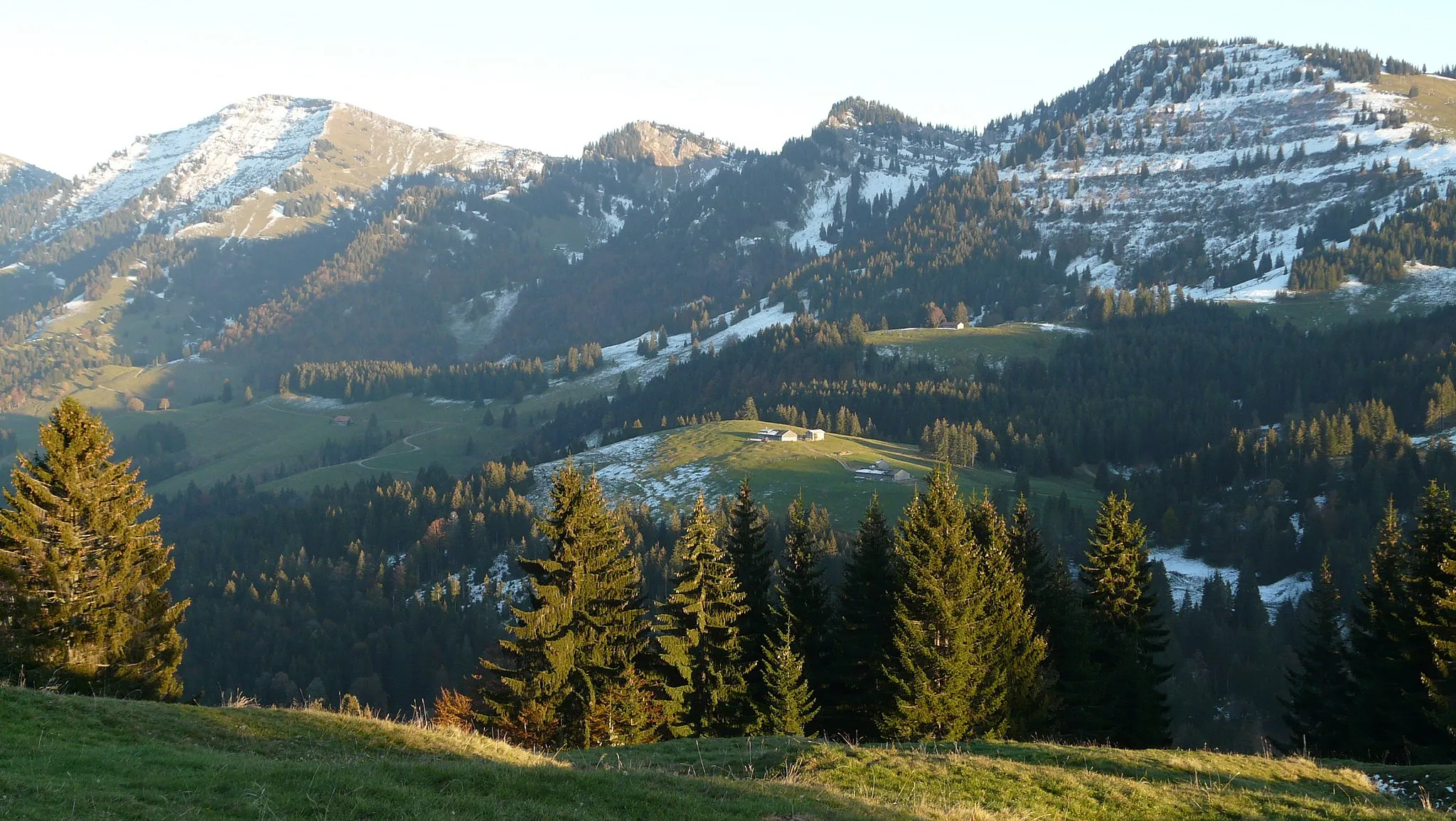
BöserscheideggHamletExplore the serene beauty of Böserscheidegg.
21 km
21 km
KreuzbergViewpointChallenge yourself with the climb up Kreuzberg, which offers stunning panoramic views.
39 km
39 km
Weißensberger HaldeViewpointWeißensberger Halde is worth a stop for its breathtaking viewpoint.
41 km
41 km
LampertsweilerHamletDiscover Lampertsweiler and its tranquil surroundings.
52 km
52 km
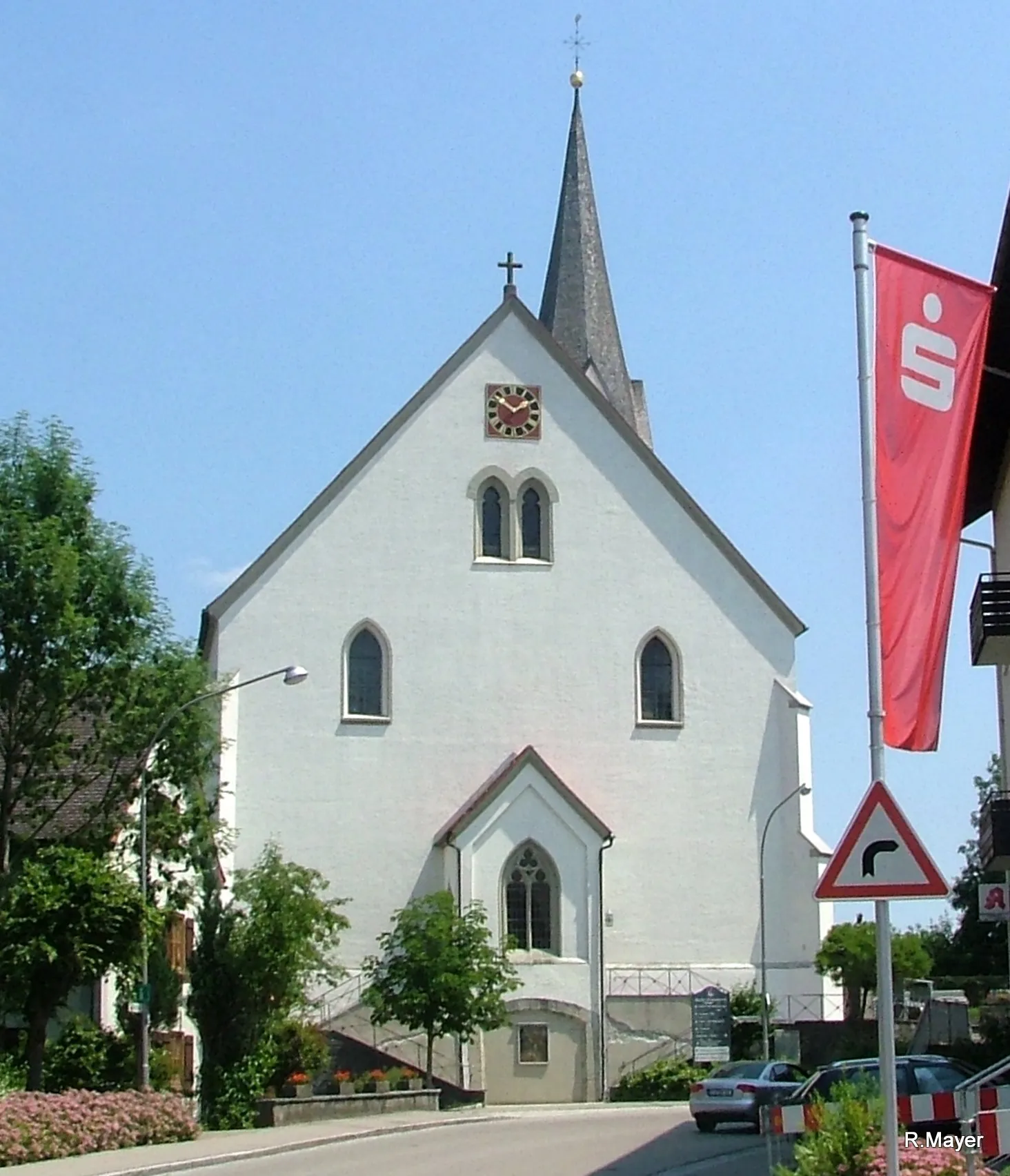
NiederwangenVillageExplore the quaint village of Niederwangen with its charming atmosphere.
64 km
64 km
Siggener HöheViewpointSiggener Höhe offers stunning views of the surrounding landscapes and a serene environment.
76 km
76 km
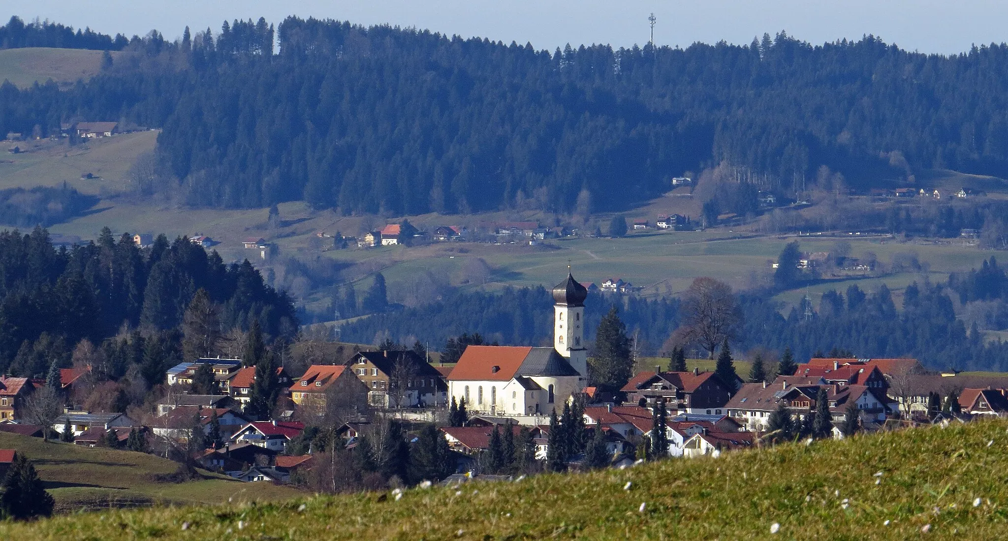
HochstädtHamletHochstädt is known for its beautiful countryside and panoramic viewpoints.
79 km
79 km
Finish: Maierhöfen Village centerMaierhöfen: Cycling in the scenic region of Schwaben, Germany
Cycling routes nearby: