Markt Rettenbach - Hochfirst - Erisried - Kammlach - Mindelheim - Erlis
A gravel cycling route starting from Markt Rettenbach
Experience the thrill of gravel cycling as you explore Hochfirst, Kammlach, and Mindelheim.
Map
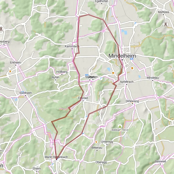
For those seeking an off-road adventure, this gravel cycling route starting from Markt Rettenbach covers a distance of 41 kilometers with an ascent of 390 meters. The route passes through scenic landscapes and provides a unique cycling experience. Highlights include Hochfirst, Erisried, Kammlach, Mindelheim, and Erlis. Enjoy the tranquility of the countryside and the sense of freedom that gravel cycling offers.
gravel
41 km
390 m
Chill
Route profile
Highlights on the route
0 km
0 km
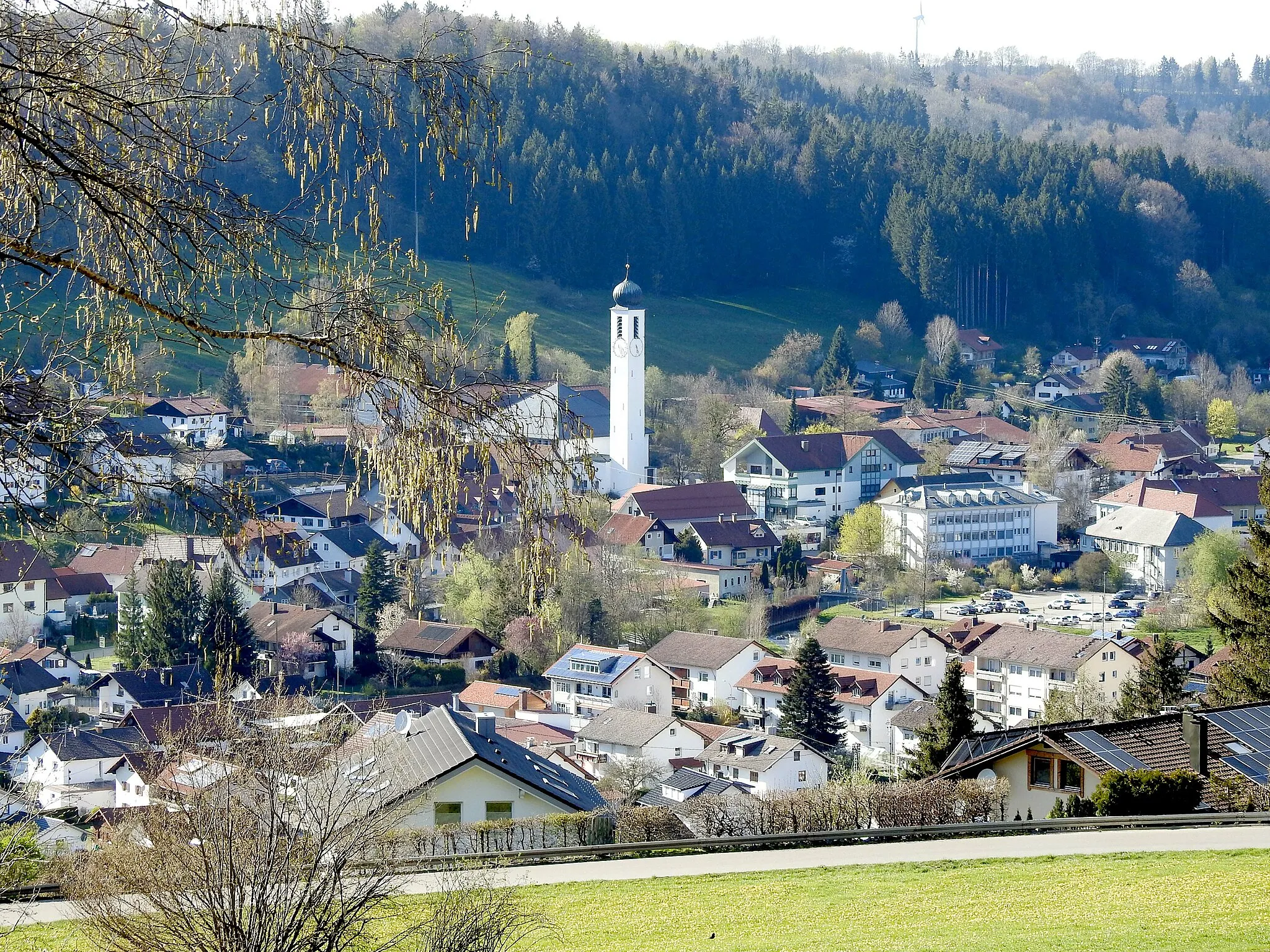
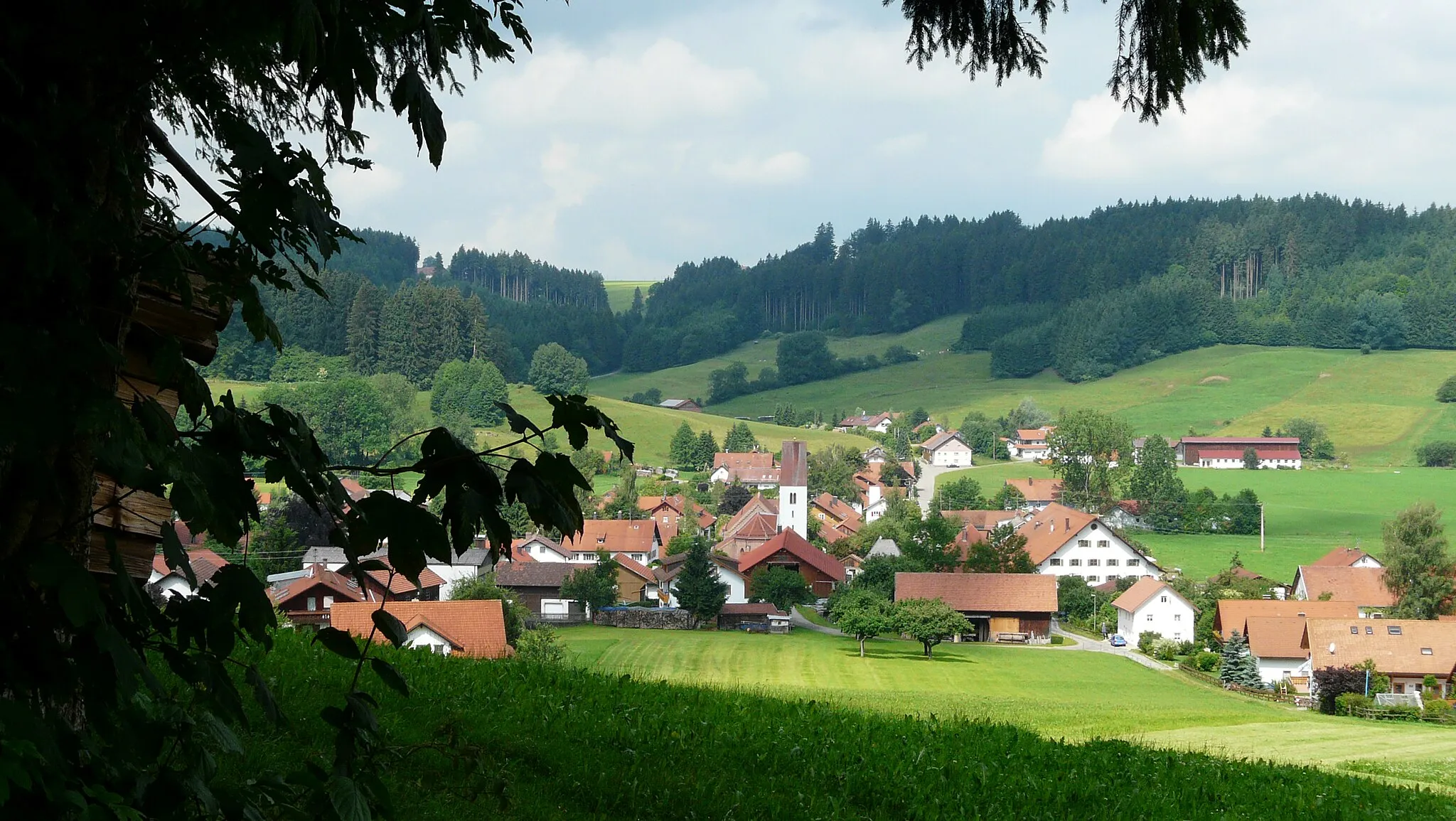
Start: Markt Rettenbach Village centerMarkt Rettenbach: Discover the Cycling Delights of Schwaben
Markt Rettenbach, located in Schwaben, Germany, provides excellent cycling opportunities for road and gravel cyclists. The locality is known for its diverse landscapes, including rolling fields, peaceful forests, and charming villages. Cyclists can explore a network of well-maintained cycling paths and experience challenging climbs and exhilarating descents. Markt Rettenbach is also close to several well-known cycling routes and famous climbs, making it a prime destination for cycling enthusiasts. With its stunning scenery and cyclist-friendly atmosphere, Markt Rettenbach guarantees an unforgettable cycling experience.6 km
6 km
Hochfirst706 mPeakHochfirst boasts pristine nature and serene forest trails, ideal for gravel cycling enthusiasts.
8 km
8 km
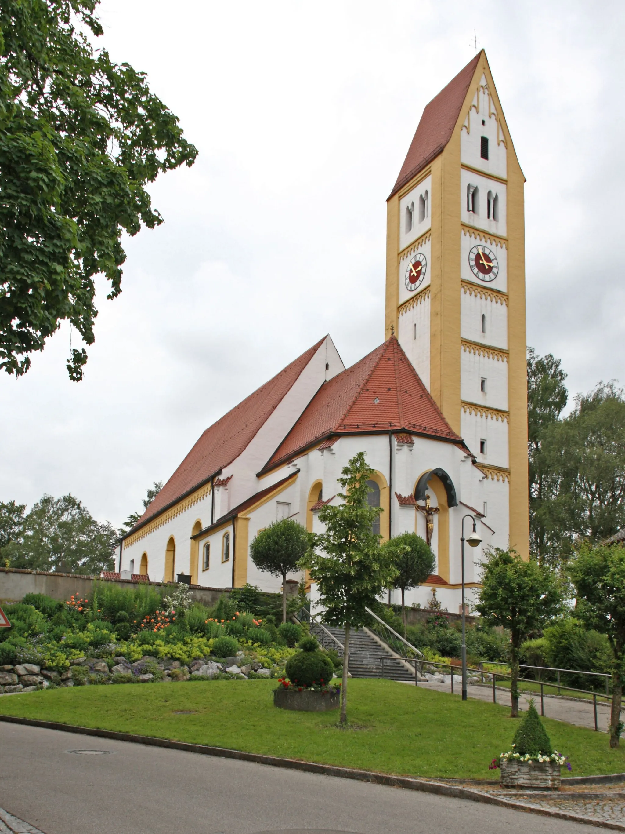
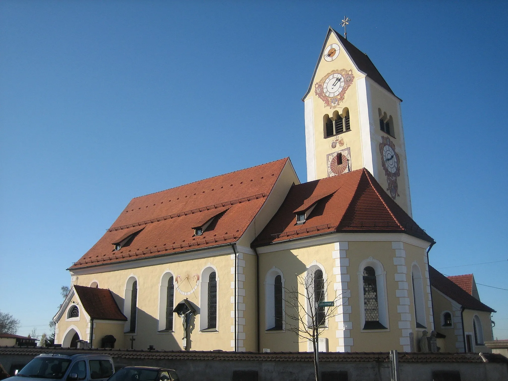
ErisriedVillageErisried offers a delightful countryside escape with picturesque surroundings.
15 km
15 km
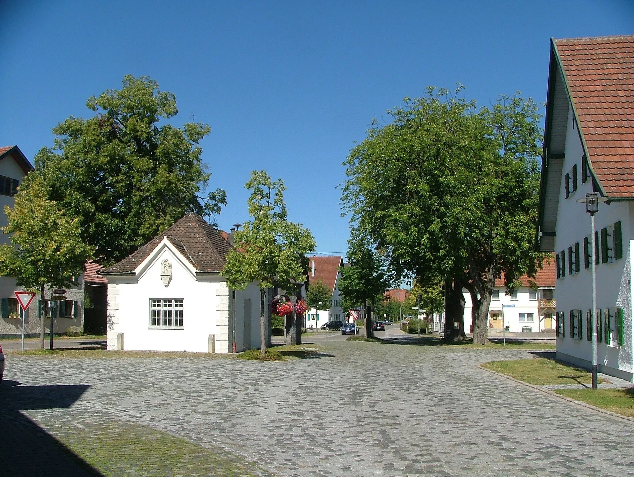
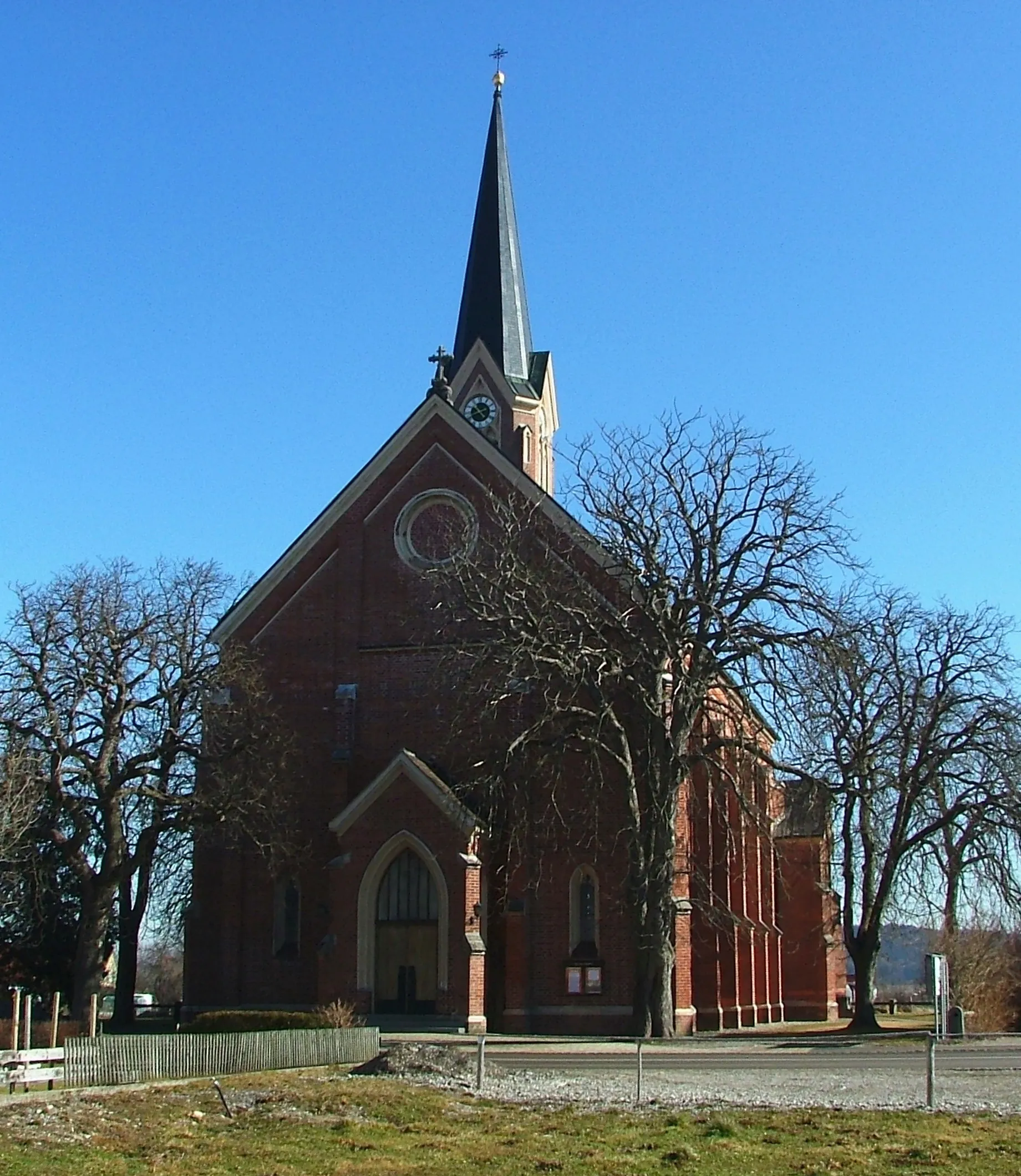
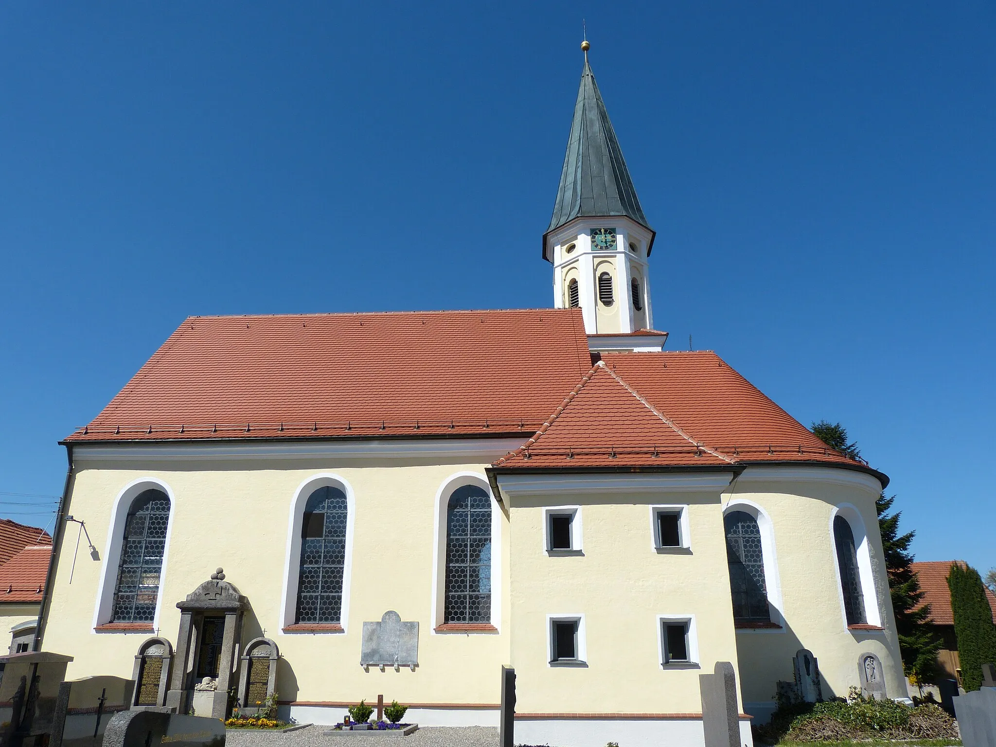
KammlachVillageKammlach features well-preserved timber-framed houses and a tranquil atmosphere.
26 km
26 km
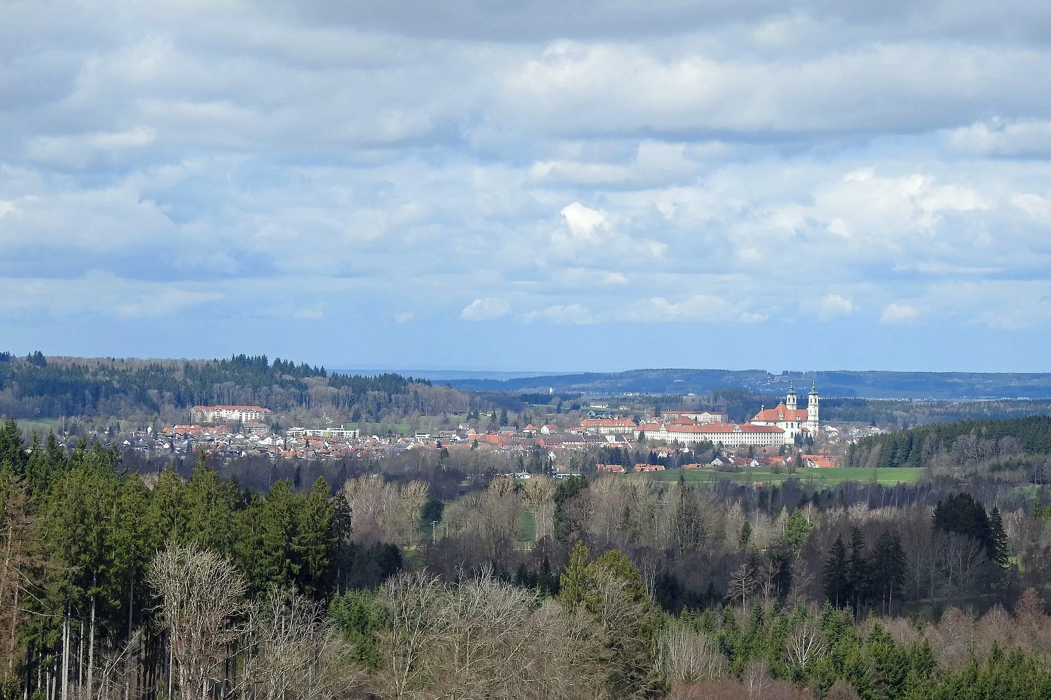
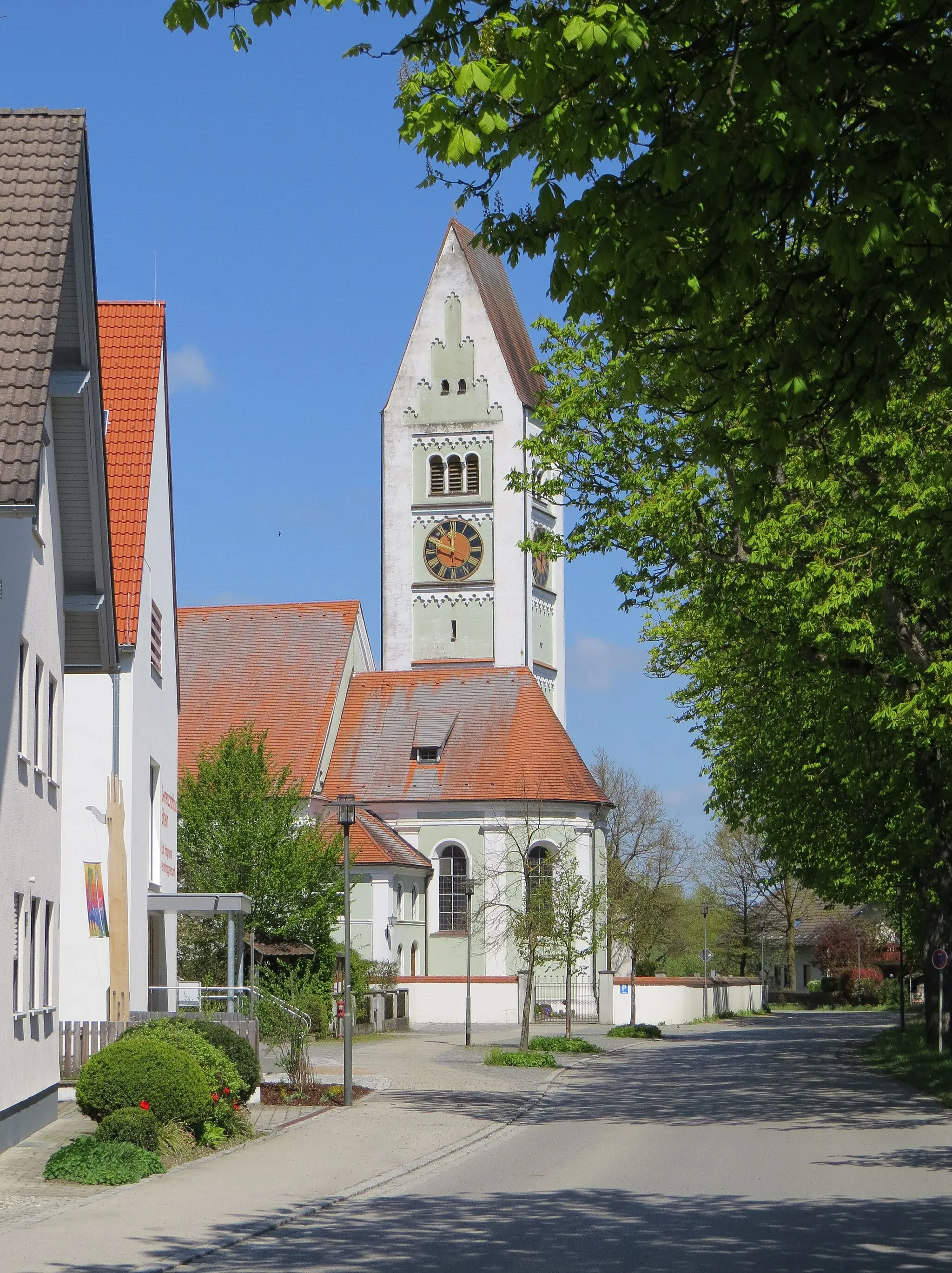
MindelheimTownMindelheim is a charming town with a rich history, beautiful churches, and vibrant markets.
38 km
38 km
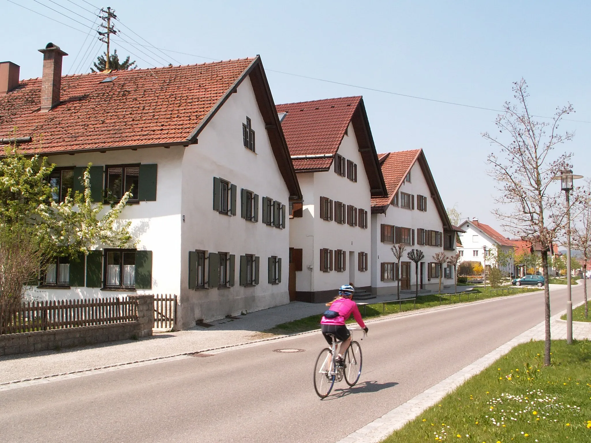
ErlisHamletErlis is a small Bavarian village famous for its picturesque countryside and warm hospitality.
41 km
41 km
Finish: Markt Rettenbach Village centerMarkt Rettenbach: Discover the Cycling Delights of Schwaben
Cycling routes from Markt Rettenbach:
The Allgäu Adventure Gravel Adventure in the Allgäu Alps Hidden Gems of Schwaben Allgäu Gravel Challenge Allgäu Alps Gravel Challenge Markt Rettenbach - Unteregg - Baisweil - Kaufbeuren Markt Rettenbach - Unteregg - Pforzen - Mauerstetten - Burk - Auf der Naßleithe - Unterthingau - Obergünzburg - Engetried Markt Rettenbach - Hochfirst - Erisried - Kammlach - Mindelheim - Erlis Markt Rettenbach - Erlis - Mindelburg - Bad Wörishofen - Ort der Ruhe - Der schöne Ausblick - Eggenthal - Markt Rettenbach Markt Rettenbach - Erlis - Heinzenhof - Schnerzhofer Weiher - Siebnach - Türkheim - Baisweil - Windenberg Sky and Forest Gravel Adventure Discover the Hidden Gems of Schwaben by Gravel Rural Charm and Serenity Gravel Exploration Exploring the Scenic Roads of Schwaben Gorgeous Landscapes and Sweeping Views Gravel Tour
Cycling routes nearby: