Panoramic Tour from Oberstdorf
A road cycling route starting from Oberstdorf
Immerse yourself in breathtaking panoramic views on this road cycling tour
Map
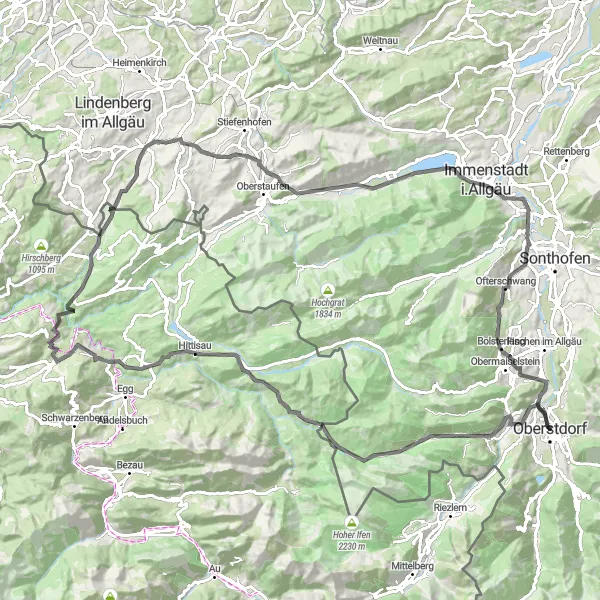
This road cycling route from Oberstdorf takes you on a scenic journey with a total ascent of 2130 meters and a distance of 112 kilometers. Explore highlights such as the picturesque Oberstdorf, the magnificent Rohrmoossattel viewpoint, the charming village of Sibratsgfäll, and the historic KZ-Außenlager Fischen. Scored highlights include the stunning Alemannenschanze Turm, a tower built on an ancient Roman archaeological site, and Hermannstein, a unique rock formation with a fascinating history. With an epicness score of 3, this route offers plenty of opportunities to immerse yourself in breathtaking panoramic views.
road
112 km
2130 m
Tough
Route profile
Highlights on the route
0 km
0 km
Start: Oberstdorf City centerOberstdorf: Conquer the Bavarian Alps on your bike
Oberstdorf is a locality located in the Schwaben region of Germany. As a road and gravel cyclist, you'll find plenty of exciting opportunities to explore the Bavarian Alps from Oberstdorf. The region offers breathtaking mountain passes and challenging climbs, perfect for experienced cyclists. The nearby Allgäu region is famous for cycling, with highlights including the Hörnerdörfer-Runde and the Nebelhorn. Overall, Oberstdorf is a paradise for mountain-loving cyclists, offering legendary climbs and spectacular alpine landscapes.0 km
0 km
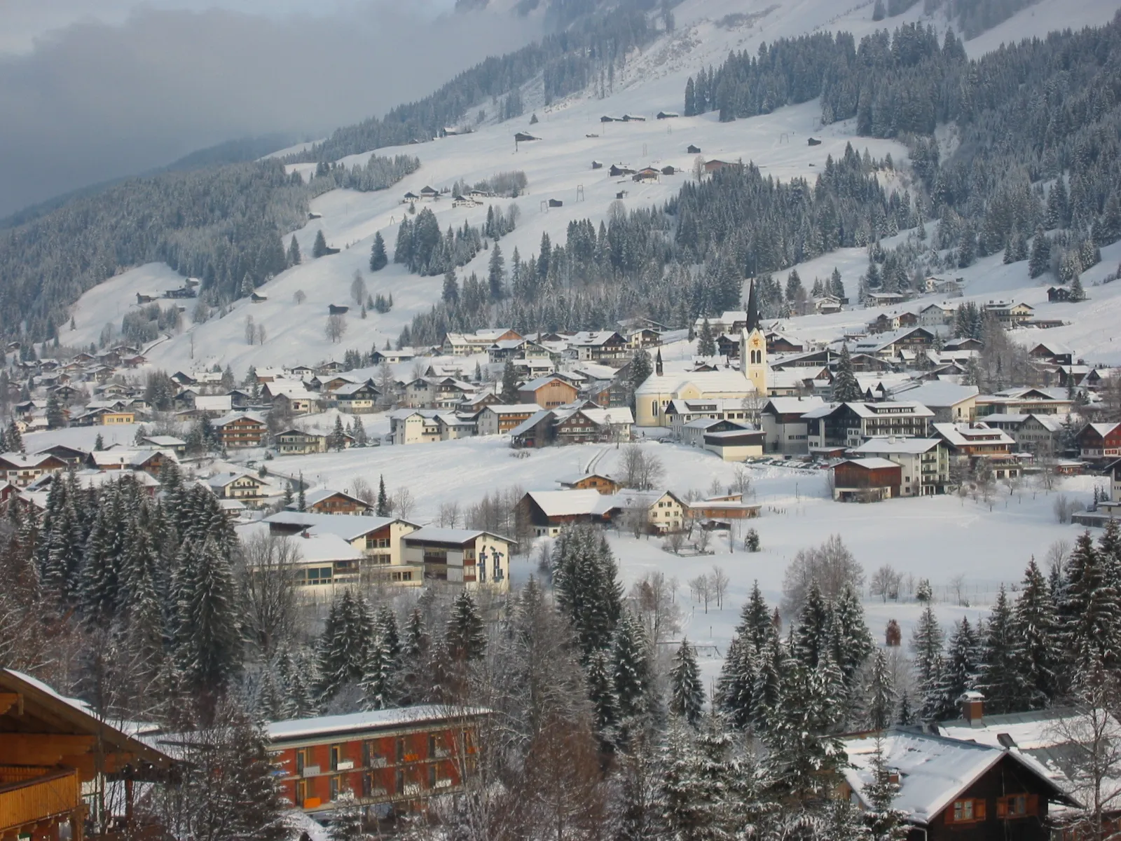
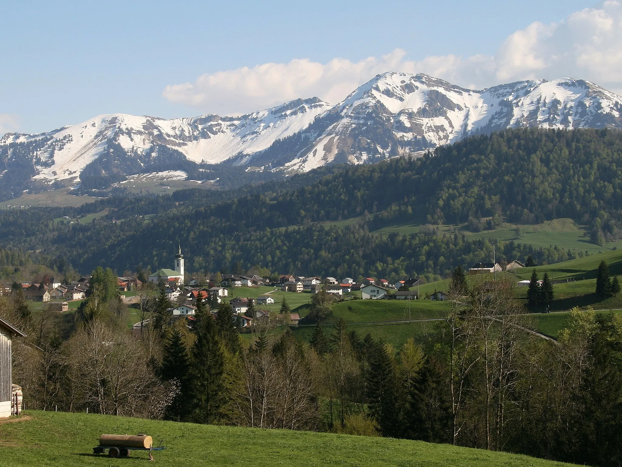
OberstdorfTownOberstdorf is a popular destination for nature lovers and outdoor enthusiasts, known for its stunning mountain landscapes and crystal-clear lakes.
14 km
14 km
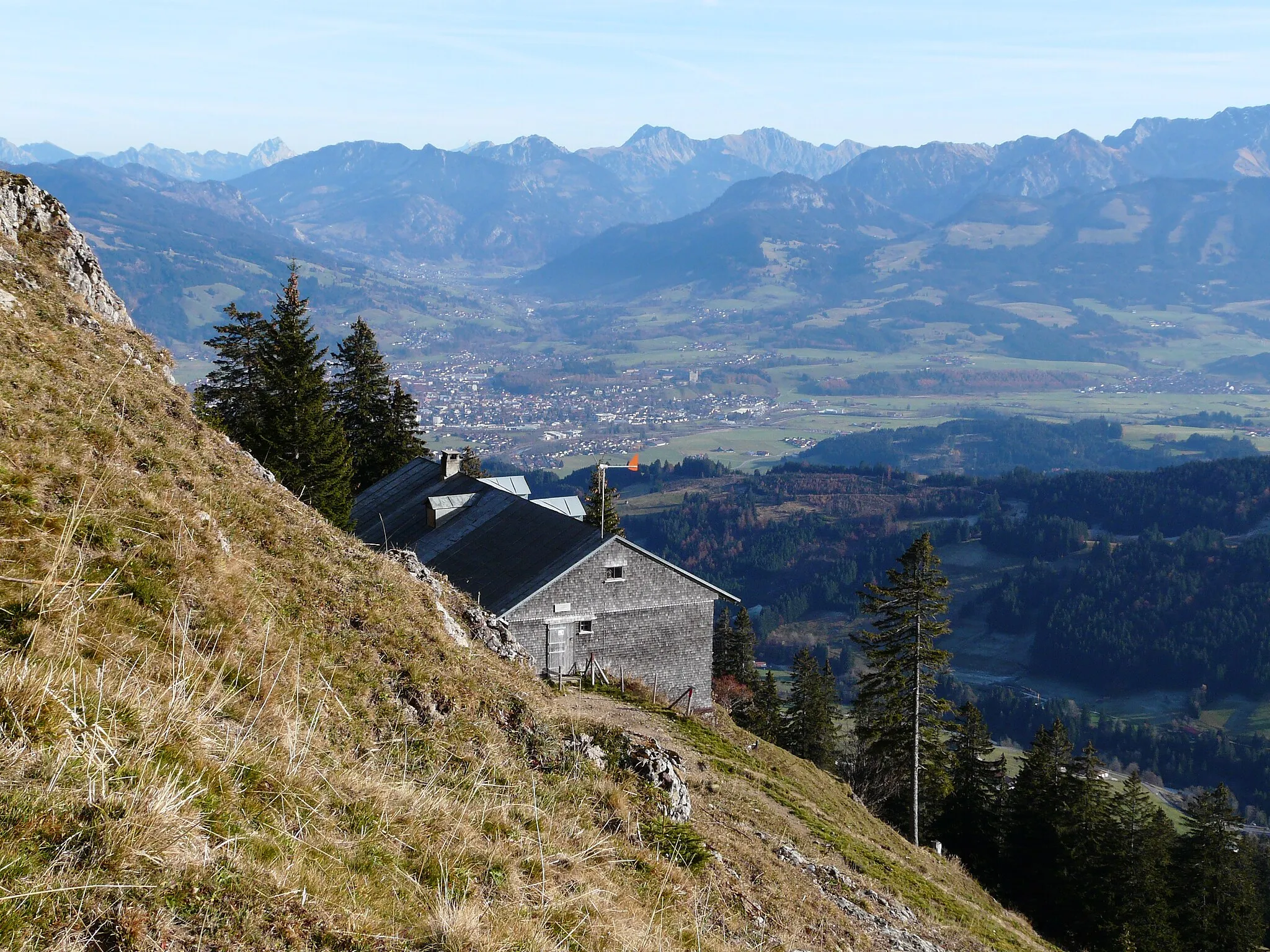
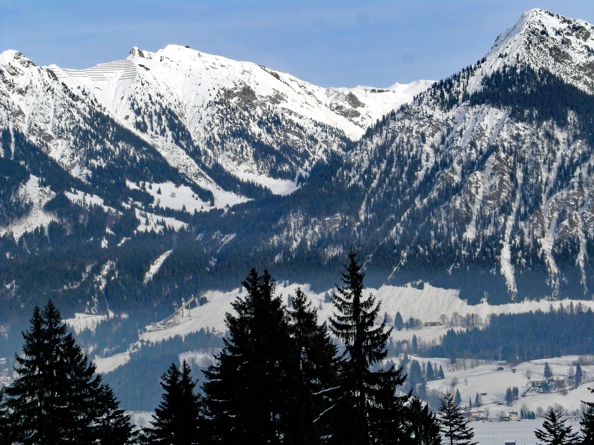
Rohrmoossattel1120 mMountain PassRohrmoossattel offers panoramic views of the scenic Allgäu Alps.
23 km
23 km
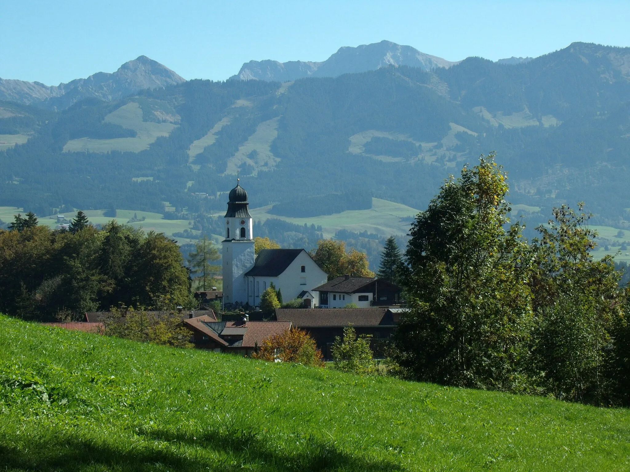
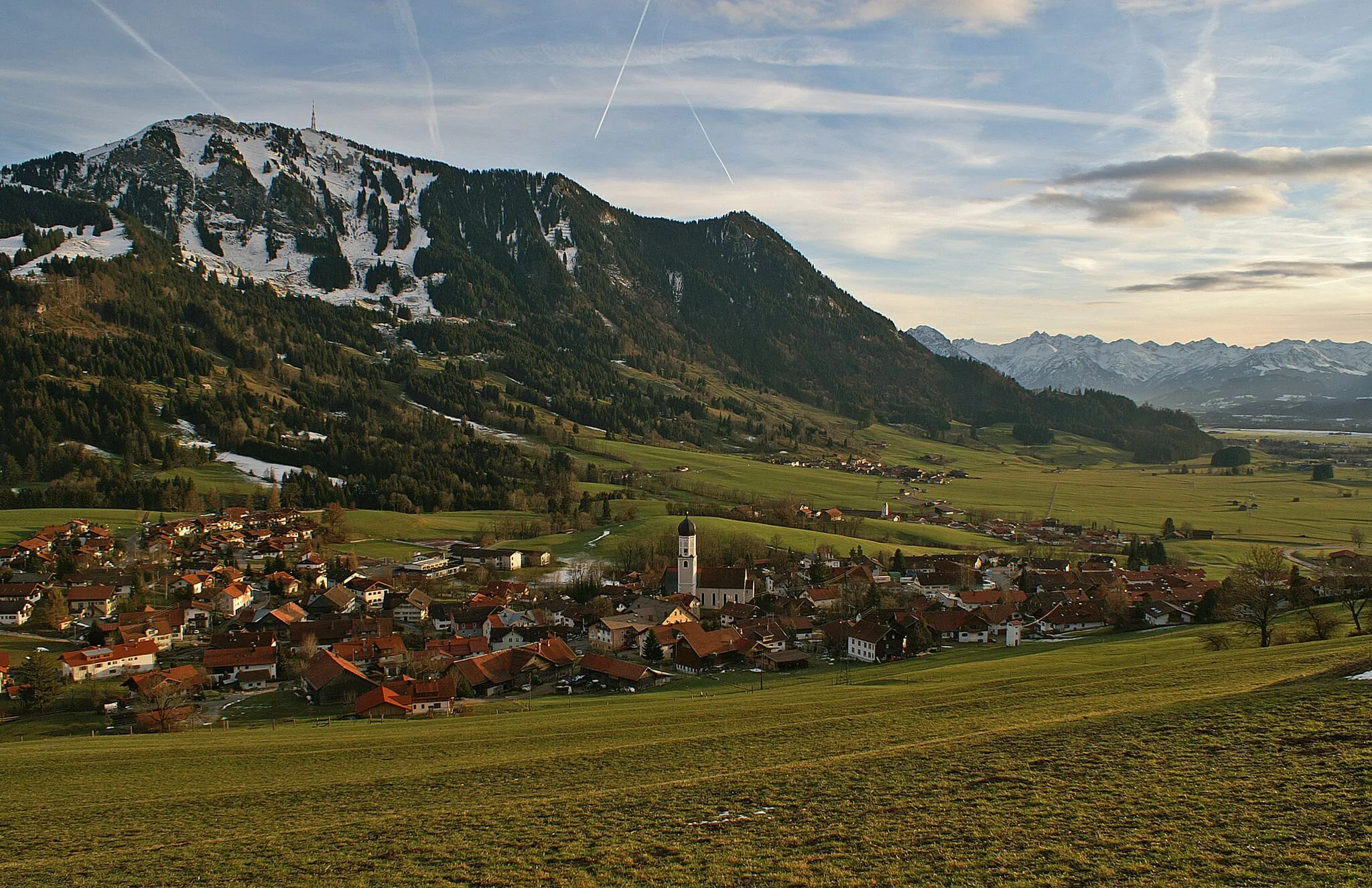
SibratsgfällVillageSibratsgfäll is a charming village located in the Bregenz Forest, known for its natural beauty and outdoor activities.
32 km
32 km
Rotenberg974 mPeakRotenberg is a village known for its well-preserved traditional architecture and beautiful surroundings.
41 km
41 km
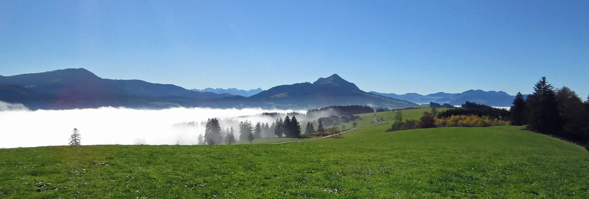
300-70Viewpoint300-70 is a picturesque viewpoint that offers panoramic views of the surrounding mountains and valleys.
43 km
43 km
AlberschwendeVillageAlberschwende is a quaint village with charming alpine-style buildings and stunning mountain views.
64 km
64 km
Alemannenschanze TurmViewpointAlemannenschanze Turm is a historic tower built on the site of an ancient Roman fortification.
67 km
67 km
NagelshubHamletNagelshub is a small village surrounded by peaceful countryside and idyllic landscapes.
75 km
75 km
Staufner Berg1042 mPeak ViewpointStaufner Berg is a popular attraction among cyclists, offering spectacular views of the surrounding mountains.
76 km
76 km
KnechtenhofenHamletKnechtenhofen is a traditional Bavarian village with well-preserved historic buildings and a charming atmosphere.
93 km
93 km
BlaichachVillageBlaichach is a picturesque village nestled in the heart of the Allgäu Alps, offering a peaceful and scenic retreat.
103 km
103 km
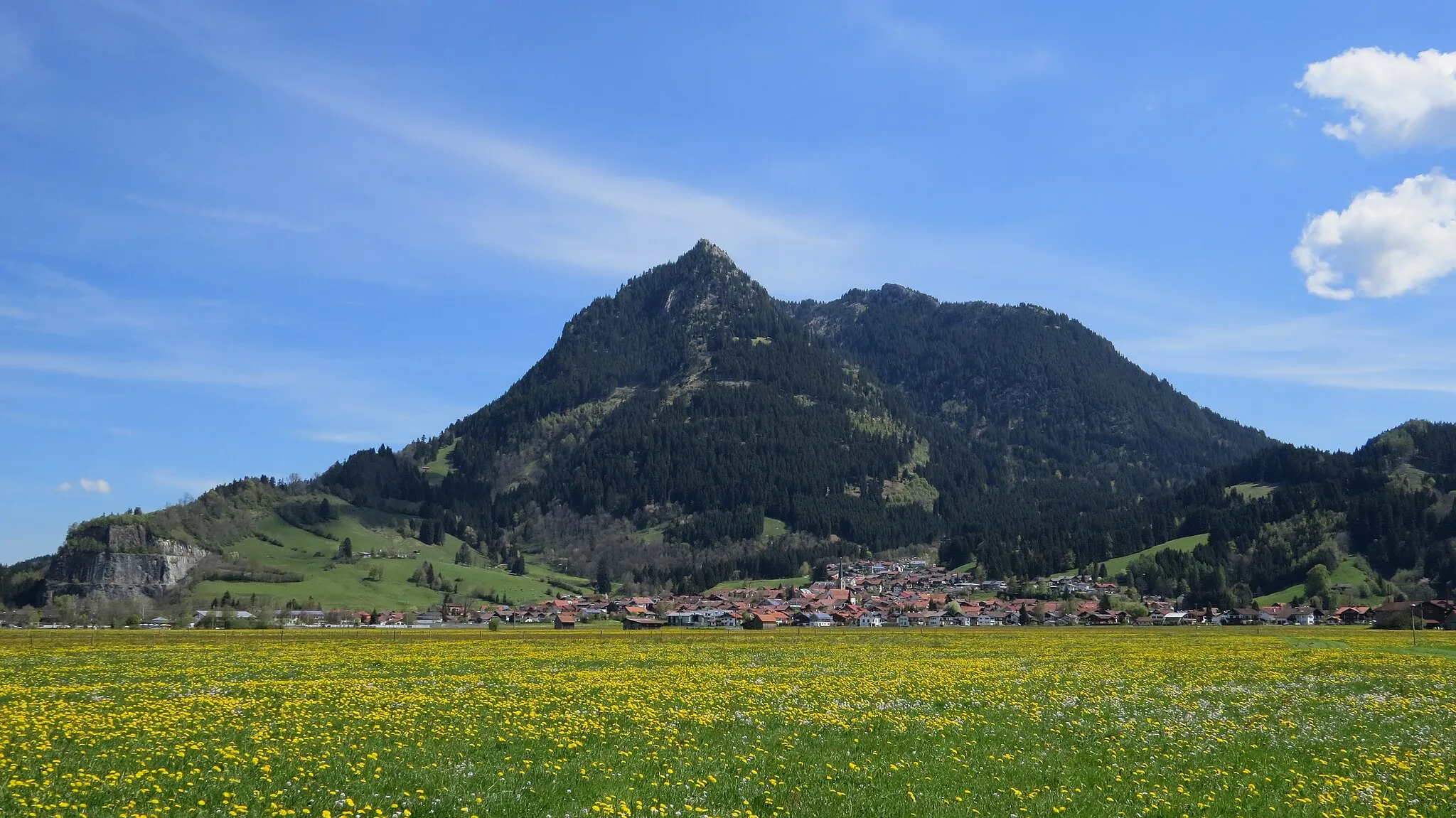
BolsterlangVillageBolsterlang is a charming village surrounded by meadows, forests, and stunning mountain peaks.
108 km
108 km
Hermannstein990 mPeakHermannstein is a fascinating rock formation with a rich history and stunning views.
112 km
112 km
Finish: Oberstdorf City centerOberstdorf: Conquer the Bavarian Alps on your bike
Cycling routes from Oberstdorf:
Alpine Road Cycling Adventure Rural Gravel Magic Allgäu Gravel Adventure from Oberstdorf Scenic Gravel Ride near Oberstdorf Riedbergpass Loop from Oberstdorf Scenic Gravel Adventure Oberstdorf Gravel Loop Panoramic Tour from Oberstdorf The Ultimate Road Cycling Challenge Three-Country Tour from Oberstdorf
Cycling routes nearby: