Bavarian Hillside Adventure
A road cycling route starting from Wolfertschwenden
Embark on a challenging road cycling adventure through picturesque Bavarian landscapes.
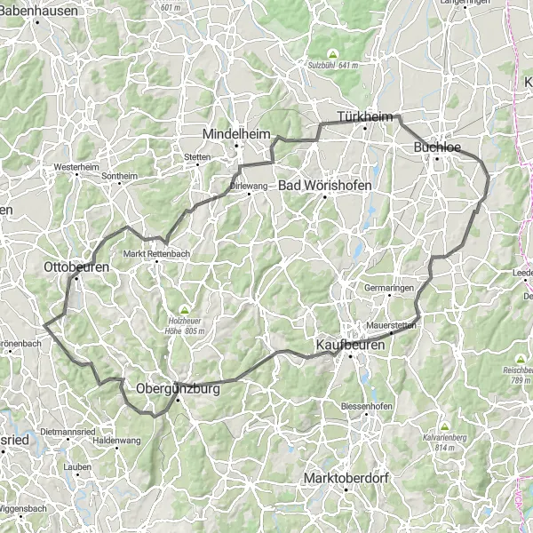
Map
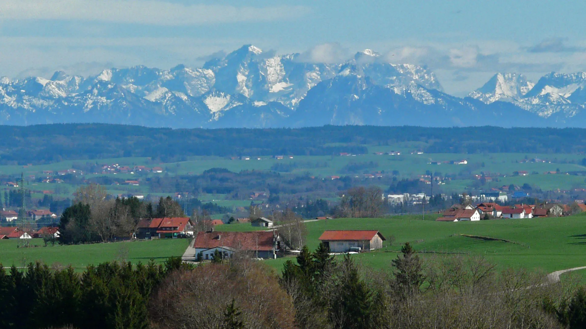
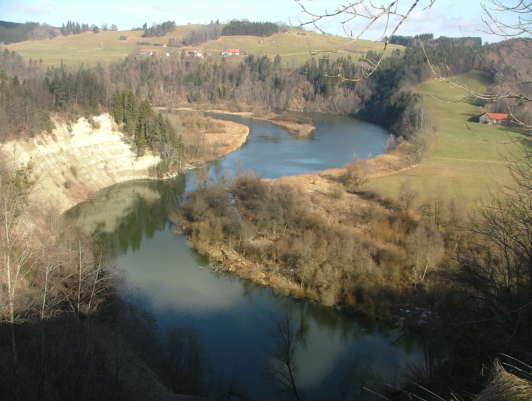
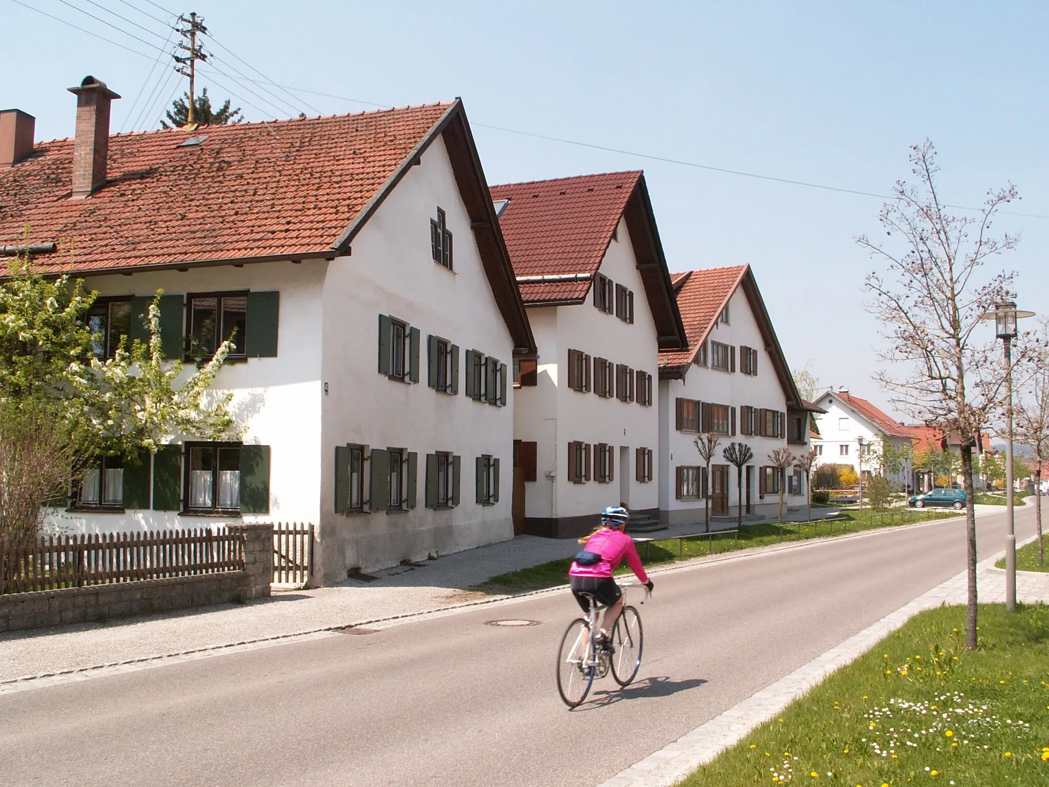
Discover the scenic beauty of Bavaria on this challenging road cycling route. As you conquer the rolling hills and climb uphill, you will be rewarded with stunning panoramas of the surrounding countryside. Immerse yourself in the region's rich history as you pass through historic towns and ancient landmarks along the way. This epic route offers a true sense of accomplishment and a unique glimpse into Bavaria's natural and cultural heritage.
road
116 km
1133 m
Savage
Route profile
Highlights on the route
0 km
0 km
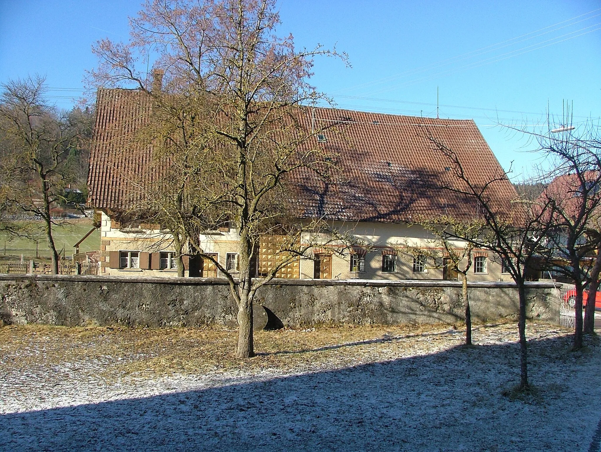
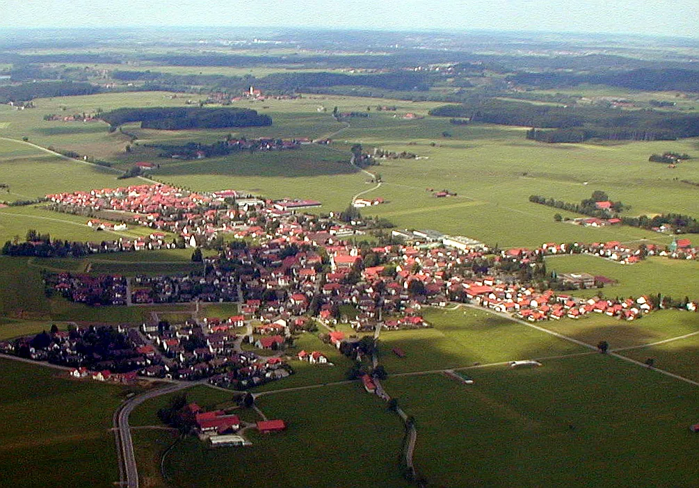
Start: Wolfertschwenden Village centerWolfertschwenden: Discover Beauty and Challenges in Wolfertschwenden
Wolfertschwenden is a locality situated in the Schwaben region of Germany. As a road and gravel cyclist, Wolfertschwenden provides access to picturesque countryside routes with charming landscapes and well-maintained roads. The locality is surrounded by scenic nature, offering both serene and challenging rides. Notable cycling spots nearby include the illustrious Riedberger Horn climb, renowned among local cyclists for its demanding gradients and mesmerizing views. Wolfertschwenden welcomes cyclists with cyclist-friendly amenities such as bicycle repair shops and rentals. Overall, Wolfertschwenden is highly recommended for cycling enthusiasts seeking unique landscapes and challenging climbs.7 km
7 km
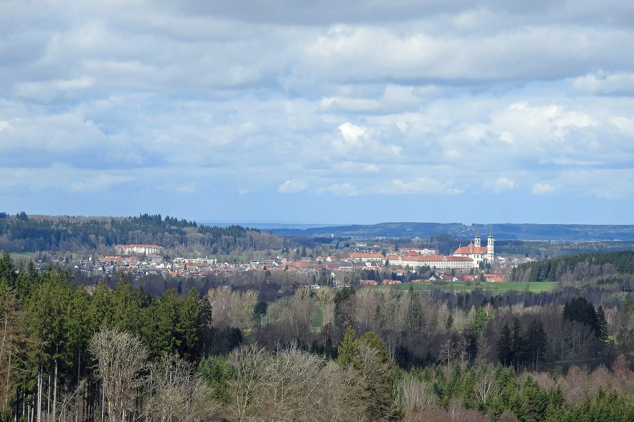
OttobeurenTownOttobeuren is home to an impressive Benedictine monastery with beautiful architecture and ornate interiors.
28 km
28 km
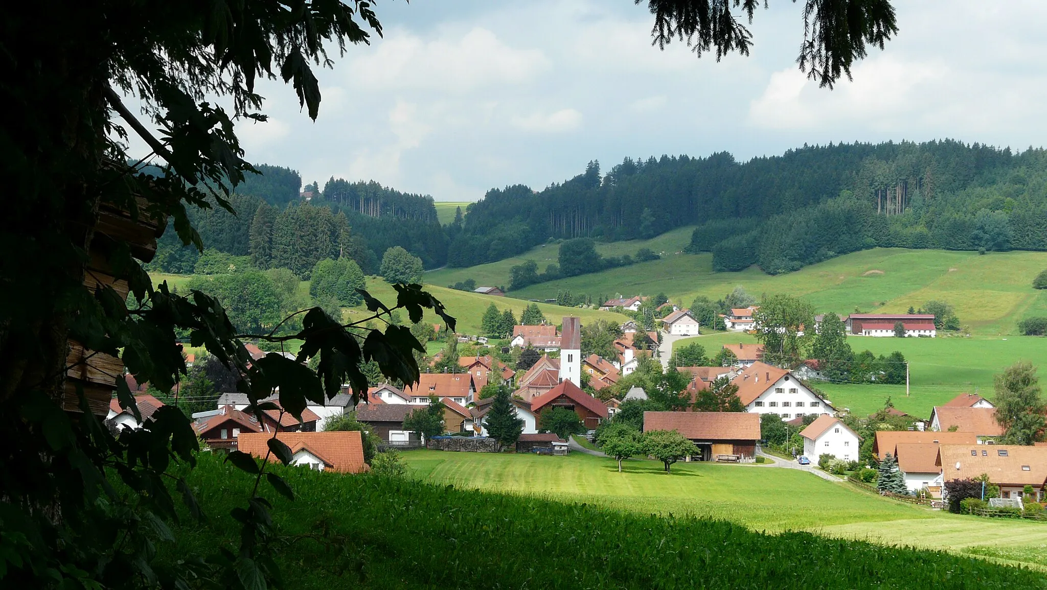
ApfeltrachVillageApfeltrach is a charming village surrounded by apple orchards, perfect for a refreshing break.
51 km
51 km
BuchloeTownBuchloe is worth a visit for its medieval castle ruins and its charming old town.
76 km
76 km
MauerstettenVillageMauerstetten is known for its picturesque landscapes and traditional Bavarian architecture.
83 km
83 km
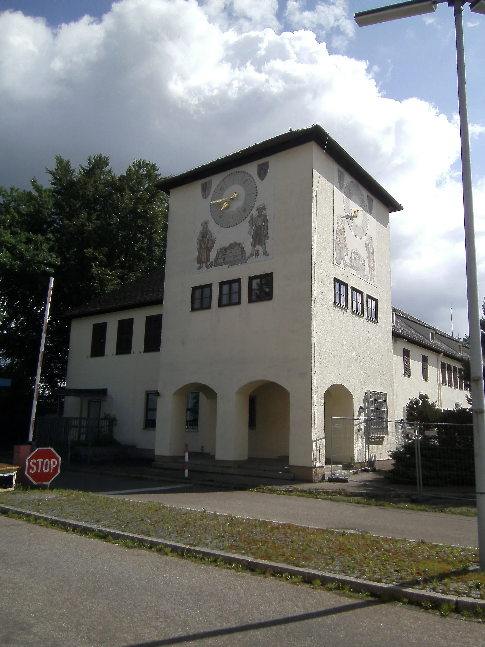
RömerturmViewpointRömerturm is a Roman tower that stands as a testament to the area's rich history and cultural heritage.
98 km
98 km
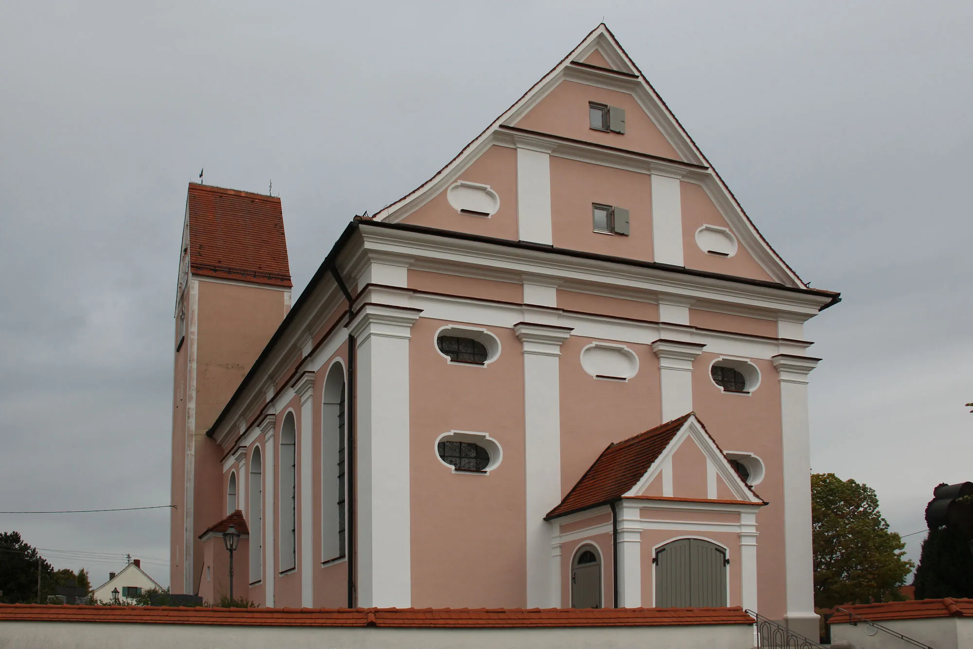
ObergünzburgTownObergünzburg is a historic town with well-preserved buildings and a fascinating past.
116 km
116 km
WolfertschwendenVillageWolfertschwenden serves as both the starting and ending point of this majestic journey, offering a glimpse into Bavaria's beauty.
116 km
116 km
Finish: Wolfertschwenden Village centerWolfertschwenden: Discover Beauty and Challenges in Wolfertschwenden
Cycling routes from Wolfertschwenden:
Bavarian Hillside Adventure Memmingen Exploration Wolfertschwenden - Karlins - Obergünzburg - Görisried - Bodelsberg - Kempten (Allgäu) - Wolfertschwenden Wolfertschwenden Road Loop Discover Mindelheim by Gravel Wolfertschwenden - Hohenrain - Oberbinnwang - Leutkirch im Allgäu - Winterberg - Schwarzer Berg - Schloss Zeil - Aitrach - Woringen - Wolfertschwenden Wolfertschwenden - Ottobeuren - Hochfirst - Erisried - Holzheuer Höhe - Ronsberg - Bibelsberg - Wolfertschwenden Schwaben Gravel Adventure Wolfertschwenden - Hawangen - Egg an der Günz - Kirchhaslach - Kammlach - Dingisweiler - Böhen - Wolfertschwenden Wolfertschwenden - Ottobeuren - Hochfirst - Roßkopf - Helchenried - Pforzen - Obergünzburg - Ehwiesmühle - Wolfertschwenden
Cycling routes nearby: