Swabian Jura Challenge
A road cycling route starting from Sussen
Conquer the Swabian Jura on this challenging road cycling route near Süßen
Map
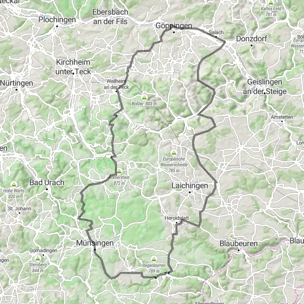
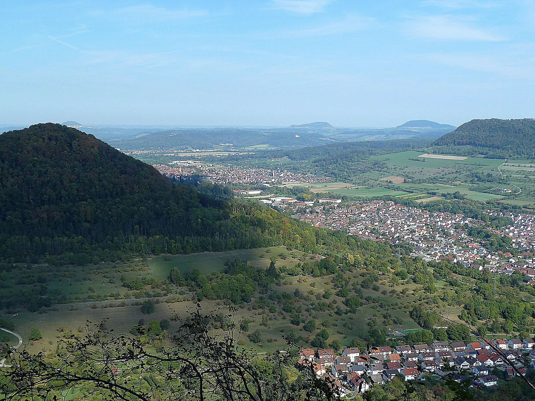
The Swabian Jura Challenge is an epic road cycling route spanning 130 kilometers with a total ascent of 1891 meters. This route offers a true test of endurance and scenic beauty as it takes you through the magnificent landscapes of the Swabian Jura. Highlights along the route include Wasserberg, Bad Ditzenbach, Machtolsheim, Wasserturm Machtolsheim, Heroldstatt, Sandburren, Münsingen, Römerstein, Ruine Sperberseck, Aichelberg, Schopflenberg, Strut, and Süßen. With a difficulty rating of 4 and an epicness rating of 5, this route is recommended for experienced cyclists seeking a challenging and rewarding adventure. Prepare to be captivated by the mesmerizing landscapes and historic landmarks of the Swabian Jura.
road
130 km
1891 m
Tough
Route profile
Highlights on the route
0 km
0 km
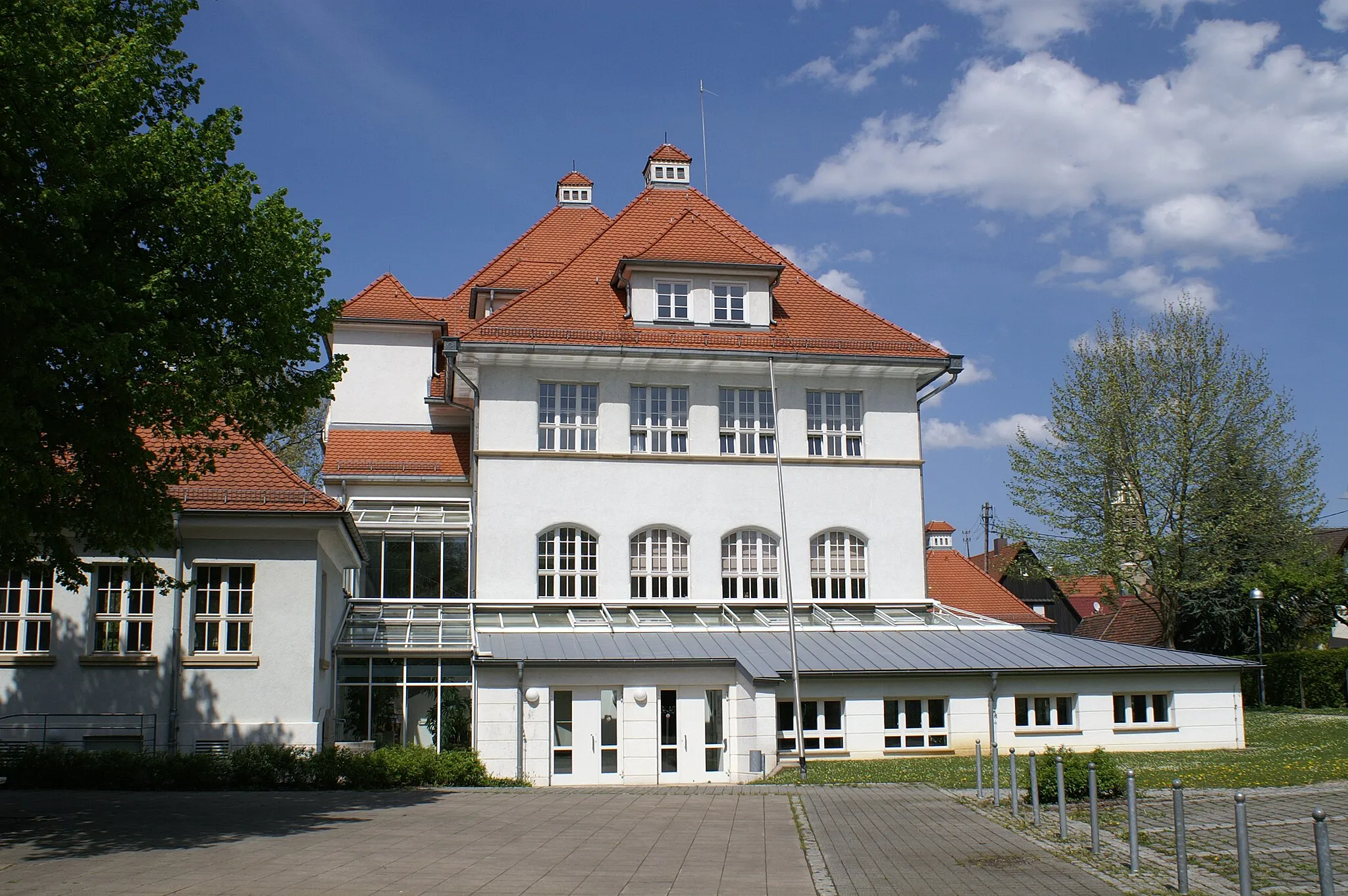
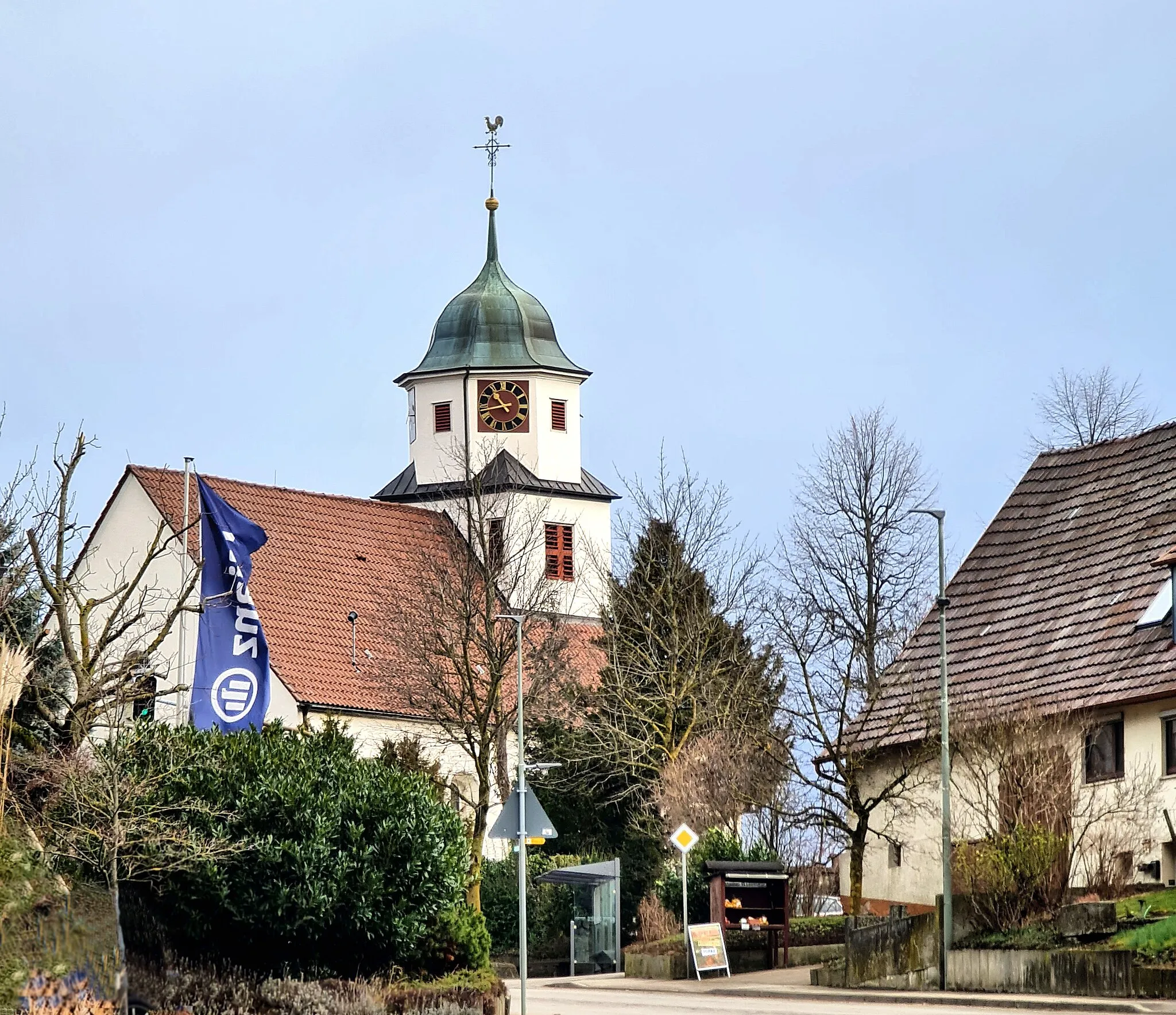
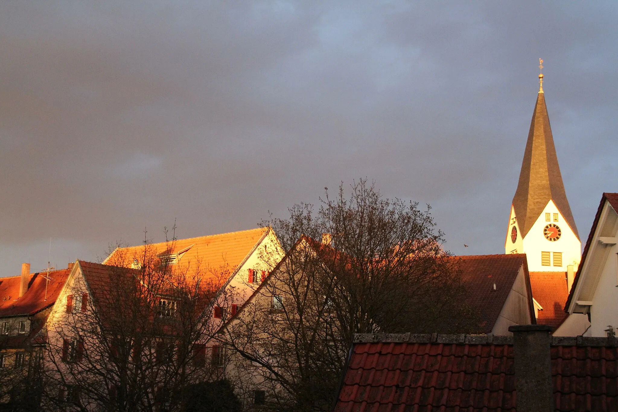
Start: Süßen City centerSüßen: Scenic Cycling in Süßen
Süßen is located in the Stuttgart region of Germany. This locality offers a range of cycling routes suitable for both road and gravel cyclists. Cyclists can explore picturesque countryside areas and enjoy peaceful rides along well-paved roads. Süßen is close to the famous Hornberg climb, which attracts cycling enthusiasts from all over the region. With its scenic routes and access to popular climbs, Süßen is a great destination for cyclists looking for a mix of beauty and challenge.7 km
7 km
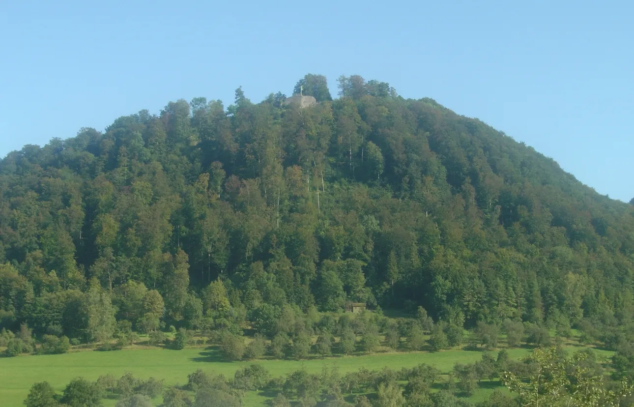
Wasserberg751 mPeak ViewpointWasserberg is a mountain peak that offers magnificent views of the surrounding Swabian Jura landscape.
15 km
15 km
Bad DitzenbachVillageBad Ditzenbach is a picturesque spa town famous for its thermal baths and mineral springs.
32 km
32 km
MachtolsheimVillageMachtolsheim is a tranquil village known for its charming half-timbered houses and quaint atmosphere.
32 km
32 km
Wasserturm MachtolsheimViewpointWasserturm Machtolsheim is an impressive water tower with panoramic views of the Swabian Jura.
44 km
44 km
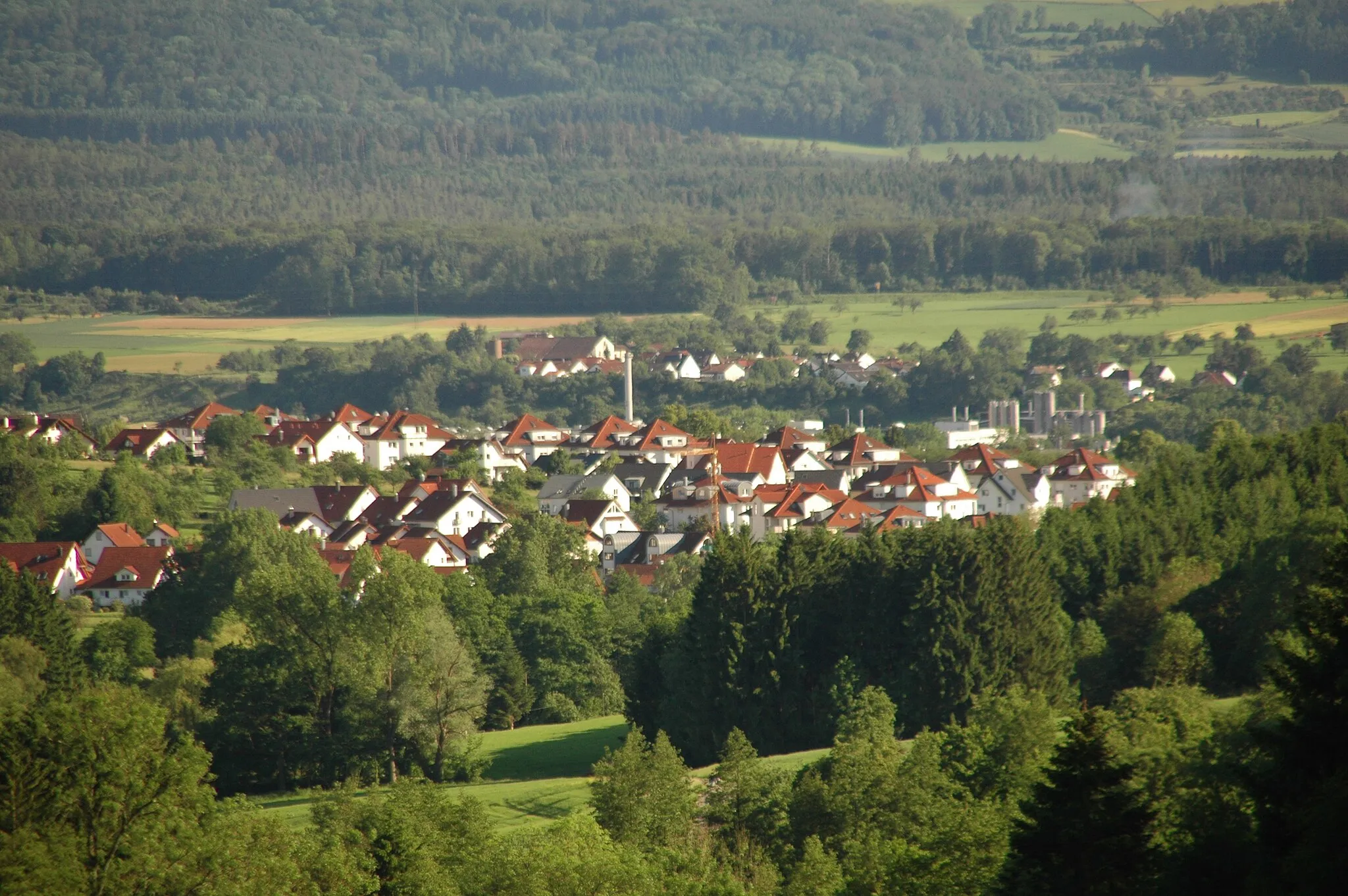
Heroldstatt844 mVillageHeroldstatt is a historic village with captivating medieval architecture and rich cultural heritage.
51 km
51 km
Sandburren762 mPeakSandburren is a natural park with unique rock formations and abundant wildlife.
70 km
70 km
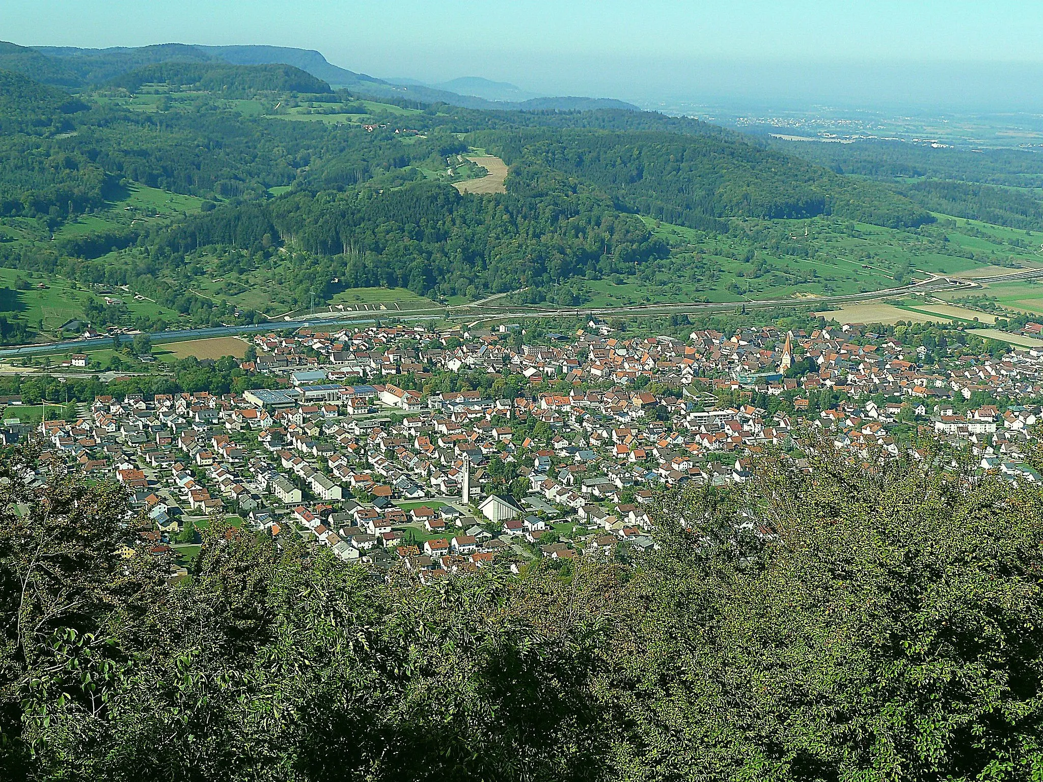
MünsingenTownMünsingen is a charming town nestled in the Swabian Jura and offers a perfect blend of nature and culture.
89 km
89 km
Römerstein872 mPeakRömerstein is a scenic village with well-preserved Roman remains and stunning panoramic views.
91 km
91 km
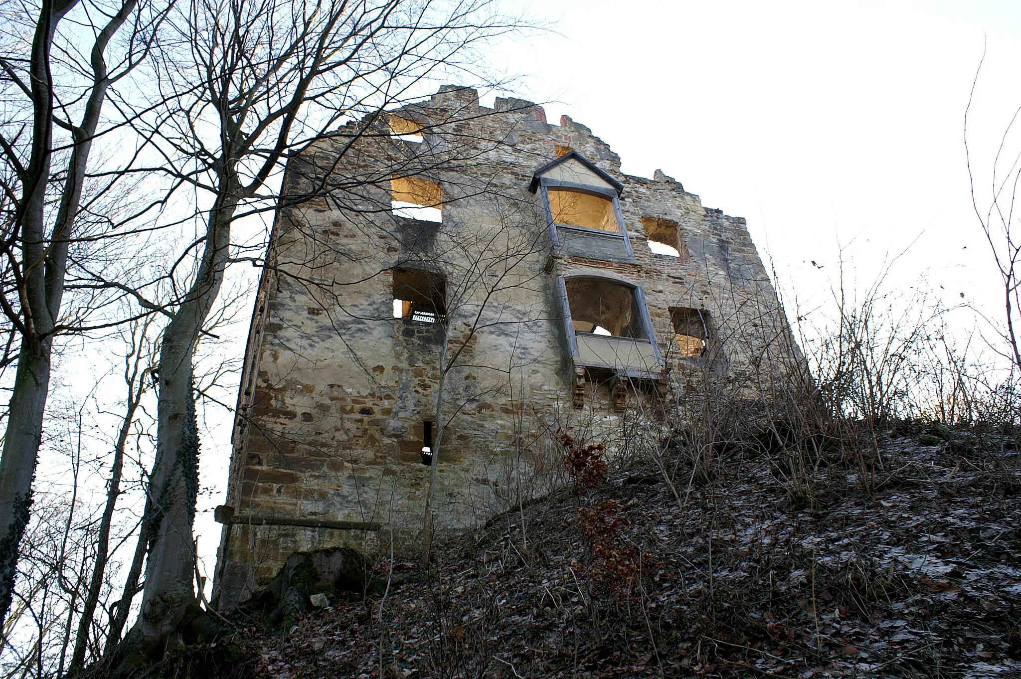
Ruine SperberseckCastleRuine Sperberseck is a captivating castle ruin offering panoramic views and a glimpse into history.
109 km
109 km
Aichelberg564 mVillageAichelberg is famous for its challenging climb, attracting cyclists from all over.
115 km
115 km
Schopflenberg400 mPeakSchopflenberg is a prominent hill with breathtaking views and a must-visit for cycling enthusiasts.
125 km
125 km
Strut387 mPeakStrut is a small village surrounded by scenic countryside and is known for its tranquil atmosphere.
130 km
130 km
SüßenTownSüßen is a historic town surrounded by rolling hills and offers great cycling amenities and local attractions.
130 km
130 km
Finish: Süßen City centerSüßen: Scenic Cycling in Süßen
Cycling routes from Sussen:
Lenningen Adventure Round-trip Cycling Route from Süßen: Alb Gravel Adventure Scenic Tour of the Swabian Jura Round-trip Cycling Route from Süßen: Fils Valley Loop Round-trip Cycling Route from Süßen: Alb Trauf Loop Round-trip Cycling Route from Süßen: Panoramic Alb Loop Danube Circuit Fils Valley Adventure Swabian Jura Challenge Fils Plateau Circuit
Cycling routes nearby: