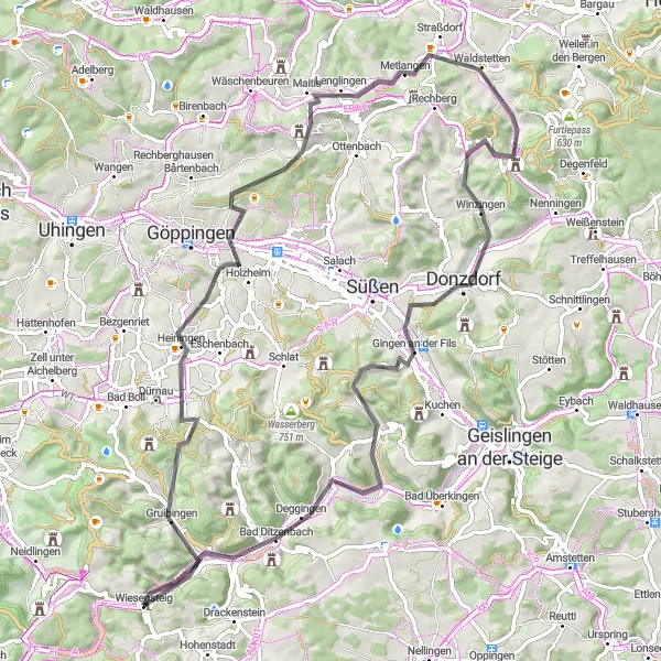
Scenic Cycling Destination With Challenging Terrain in Stuttgart
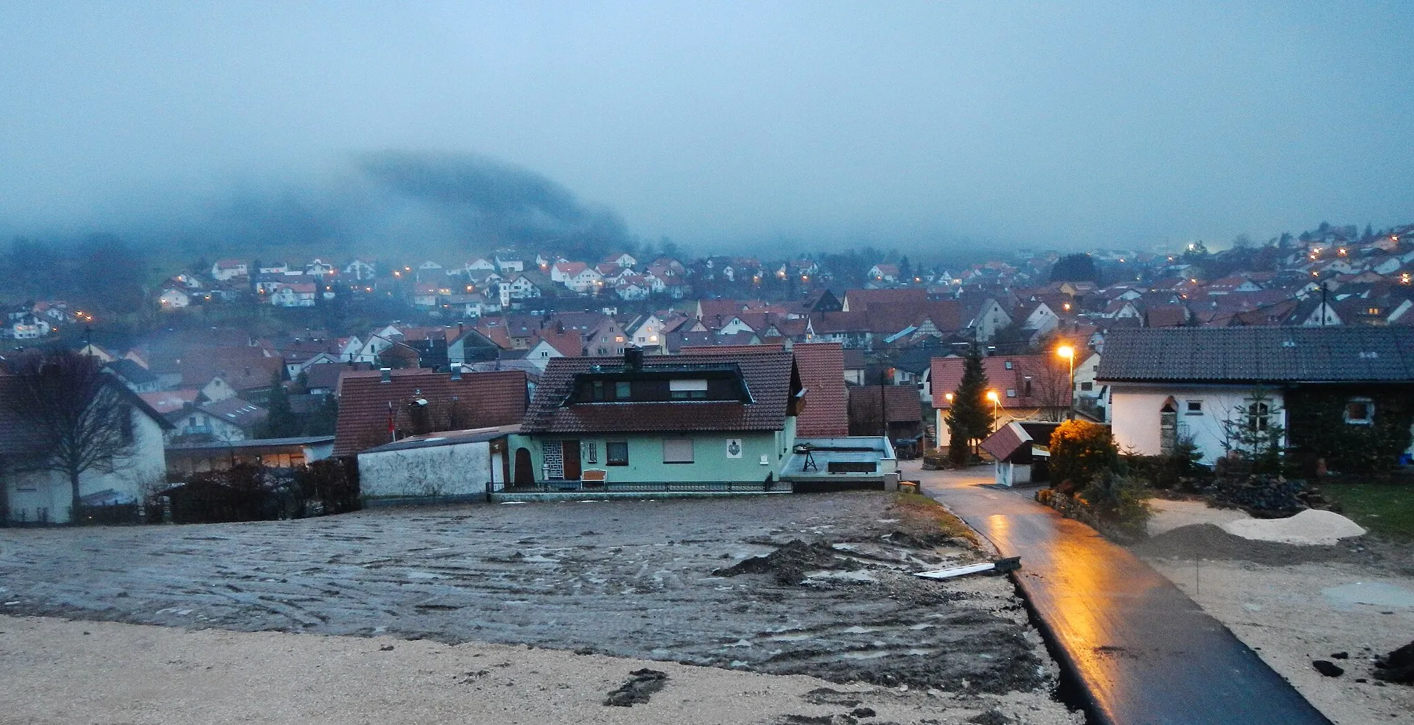
Cycling routes from Wiesensteig
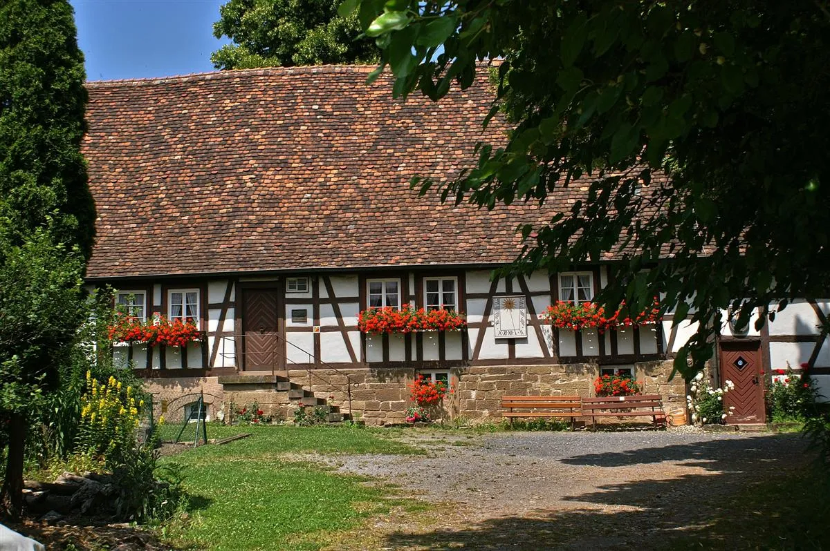
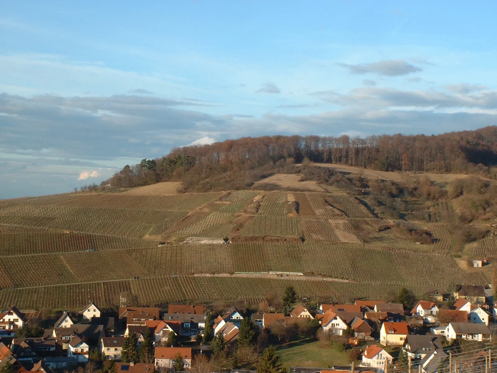
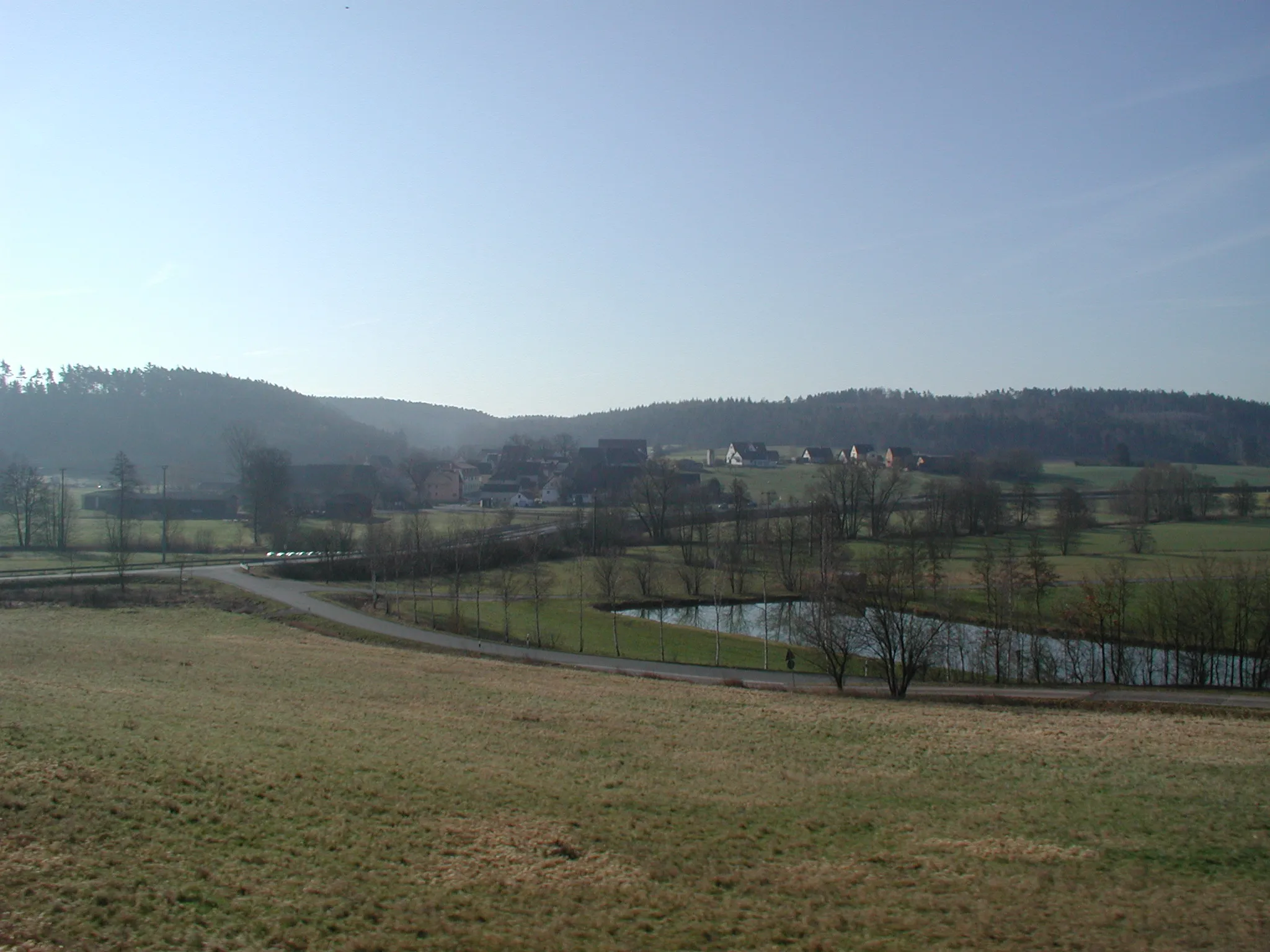
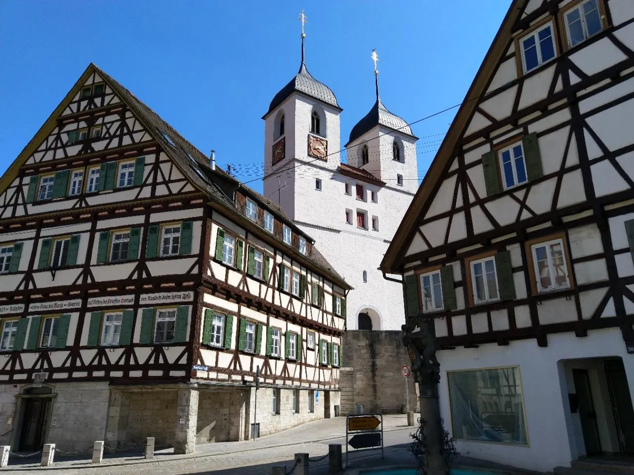
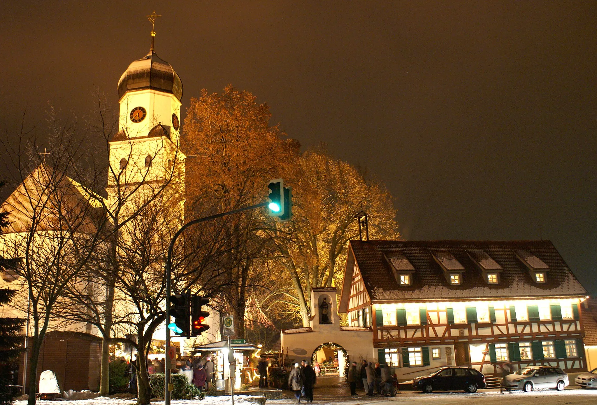
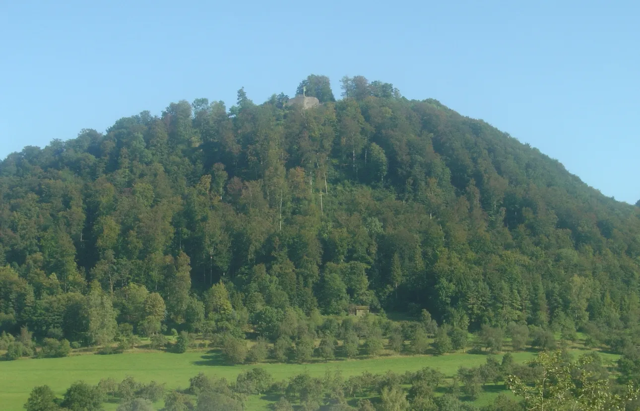
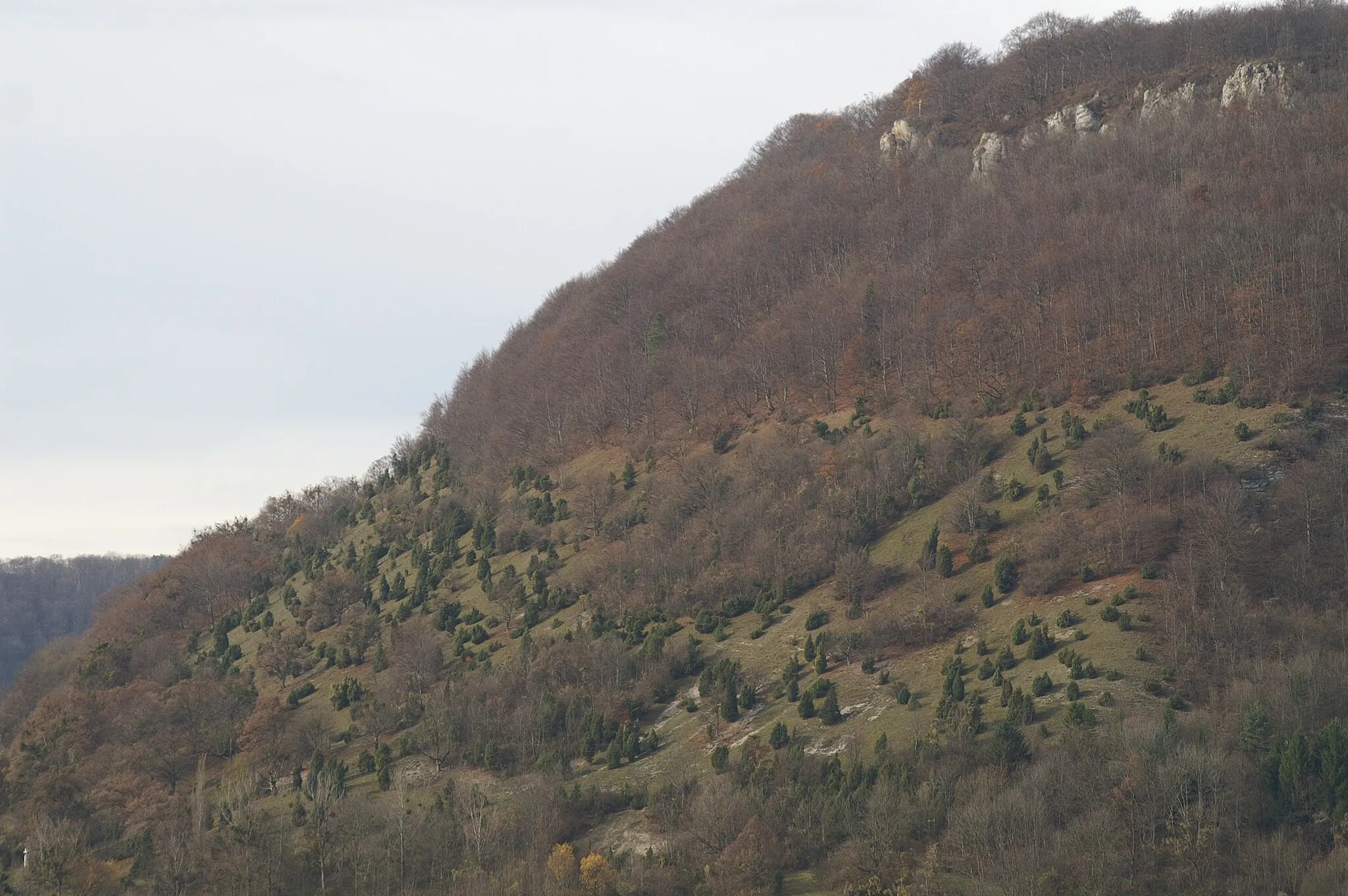
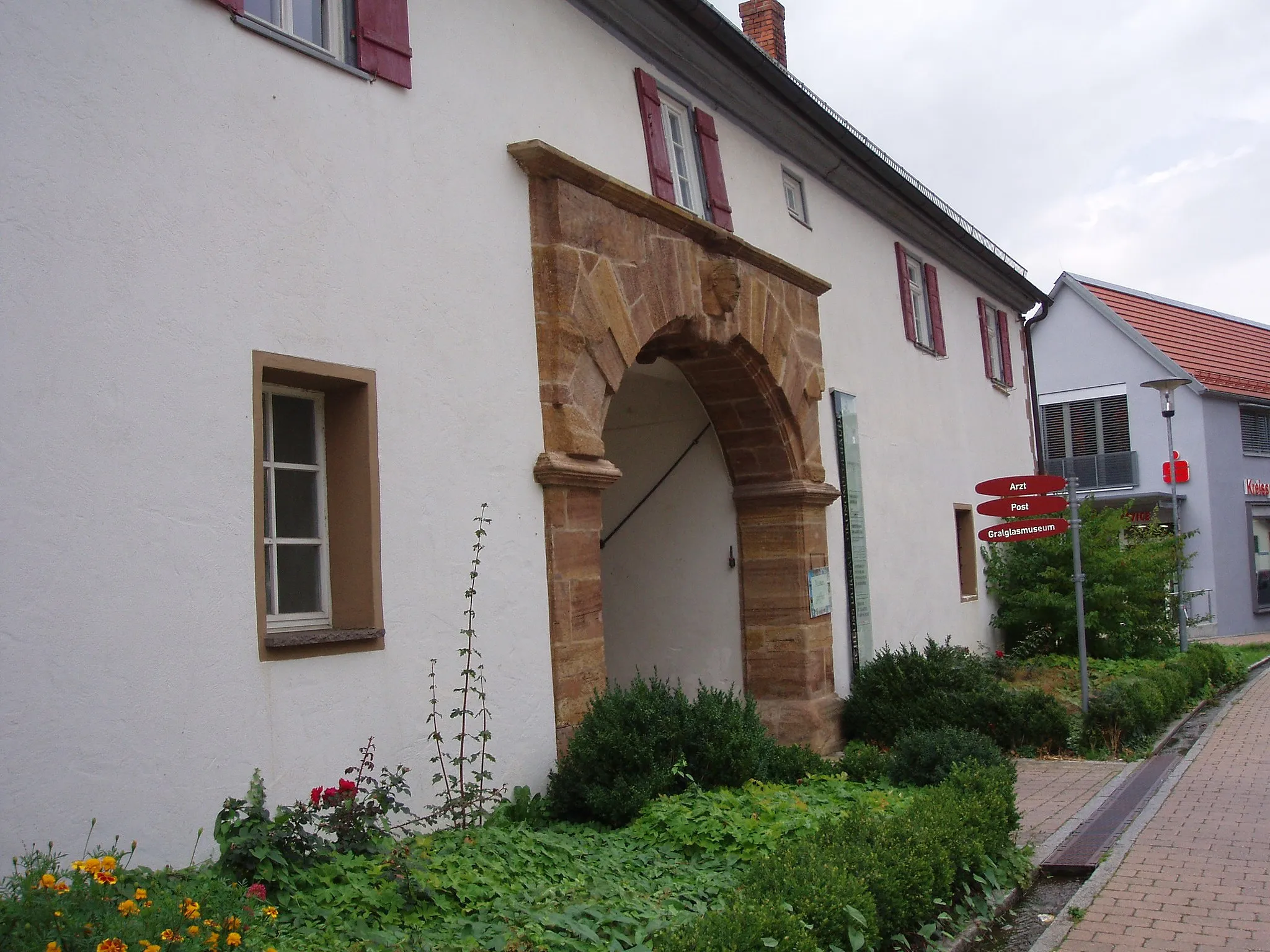
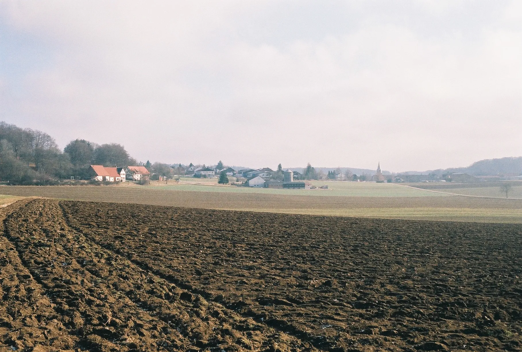
Wiesensteig is a charming locality located in Stuttgart, Germany. From the perspective of a road and gravel cyclist, this area offers a mix of scenic routes and challenging terrain. The region is surrounded by beautiful landscapes, including rolling hills and dense forests, providing a peaceful and rewarding cycling experience. Wiesensteig is also home to several well-known cycling routes, attracting both local and international cyclists. One famous spot nearby is the Albtrauf, offering breathtaking views and challenging climbs. Overall, Wiesensteig is an ideal destination for cyclists looking for a combination of natural beauty and thrilling rides.
Gravel Adventure to Hohenstadt
Embark on a thrilling gravel adventure to the charming town of Hohenstadt.
Gear up for an exciting gravel adventure to Hohenstadt. This 23 km route offers a unique and challenging experience with an ascent of 504 meters. The highlights of this route include the picturesque town of Ofen and the scenic beauty of Hohenstadt. With a difficulty rating of 2 and epicness rating of 3, this gravel adventure is perfect for intermediate cyclists looking to explore the off-road trails in the area.
Wiesensteig Rollercoaster
Experience thrilling curves and exhilarating descents on this road cycling adventure near Wiesensteig.
Embark on a breathtaking journey through the picturesque landscape near Wiesensteig. This route combines challenging climbs with thrilling descents, offering a rollercoaster-like cycling experience. The majestic views, quaint villages, and winding roads make this tour a must for cycling enthusiasts.
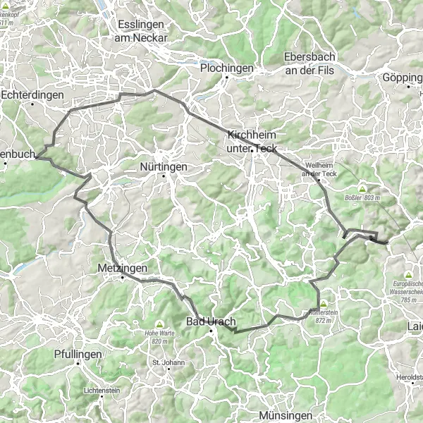
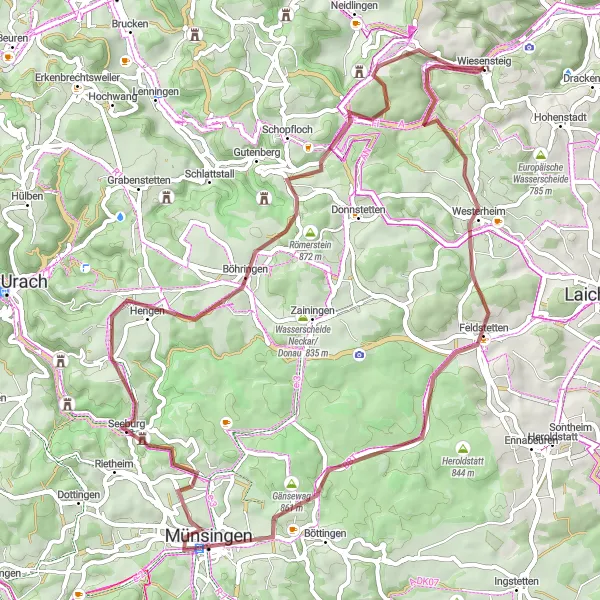
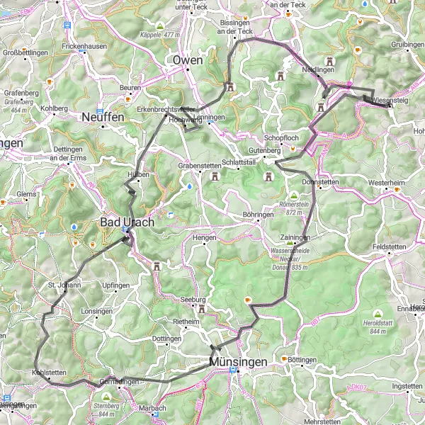
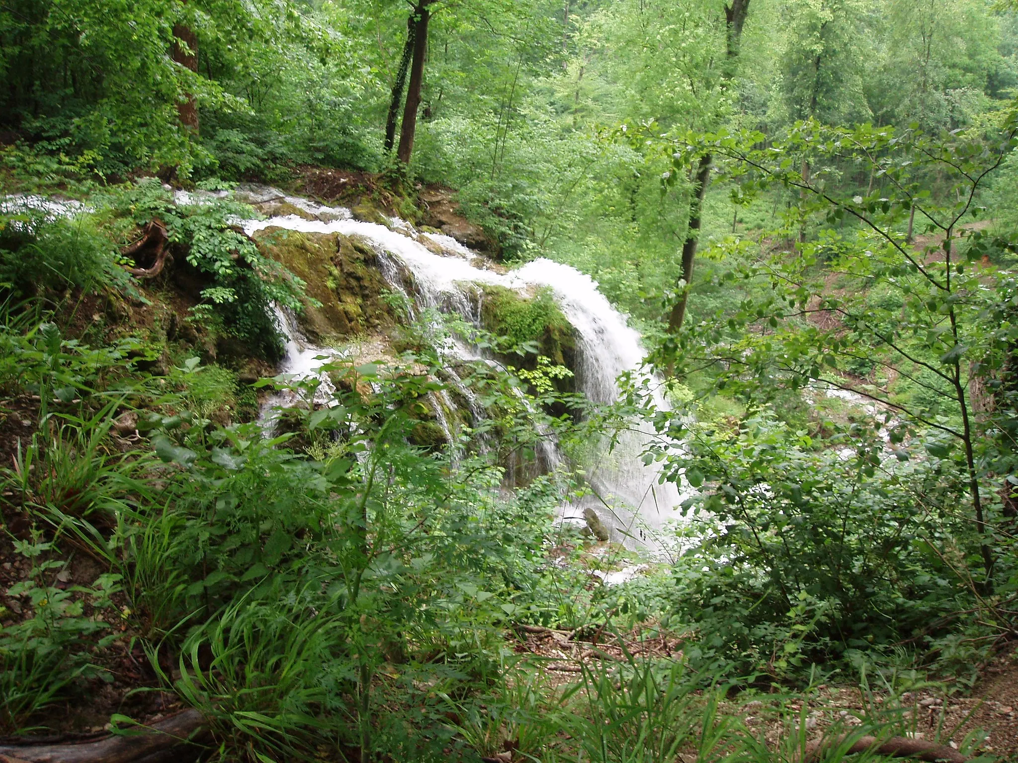
Experience the beauty of the Neidlinger Waterfall on this challenging road cycling route near Wiesensteig.
The Neidlinger Waterfall Loop is a thrilling road cycling route that offers riders stunning scenery and challenging terrain. With a total distance of 105 km and an ascent of 1391 meters, this route is perfect for experienced cyclists looking for a challenge. Along the way, riders can enjoy highlights such as the Römerstein, Bad Urach, and the Uhlberg. The epicness of this route is ranked at a 4, making it a truly memorable cycling experience.
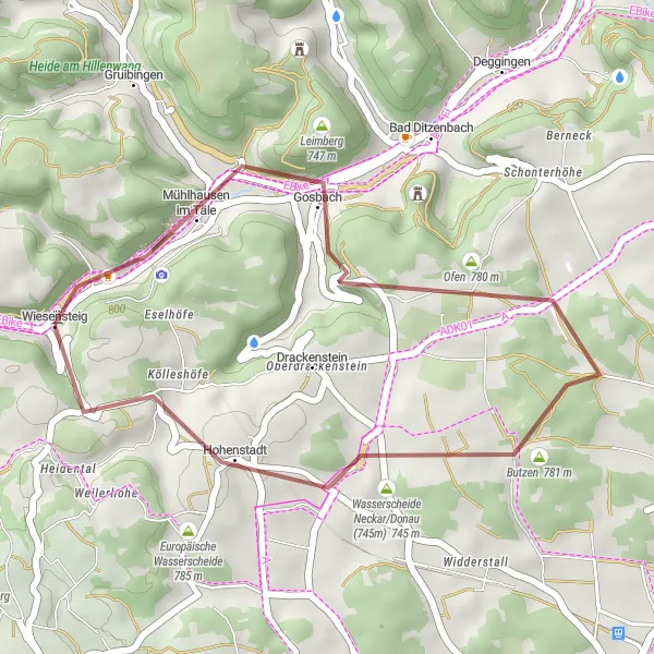
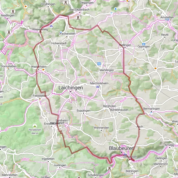
Journey through Drackenstein
Embark on a thrilling gravel cycling route through the scenic landscapes of Drackenstein.
Get off the beaten path and explore the less-traveled trails of Drackenstein on this 49km gravel cycling route. With an ascent of 1122m, this route offers a moderate level of difficulty suitable for experienced amateur cyclists. Immerse yourself in the untouched natural beauty and tranquil atmosphere as you discover the hidden gems of this enchanting region.
Tranquil Countryside Exploration
Escape the hustle and bustle as you traverse the serene countryside landscapes surrounding Wiesensteig on this 65km gravel cycling route.
Indulge in the captivating beauty of the tranquil countryside as you pedal along this 65km gravel cycling route. With an ascent of 1080m, this route offers a moderate level of difficulty suitable for enthusiastic amateur cyclists. From peaceful villages to majestic castles, explore the hidden gems that dot the idyllic landscapes.
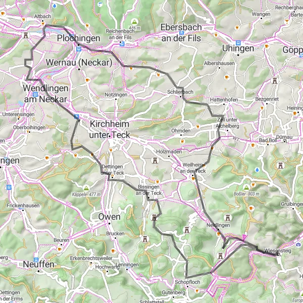
Vineyards and Medieval Castles
Discover the beauty of Deggingen and its surrounding medieval castles on this 72km gravel cycling route.
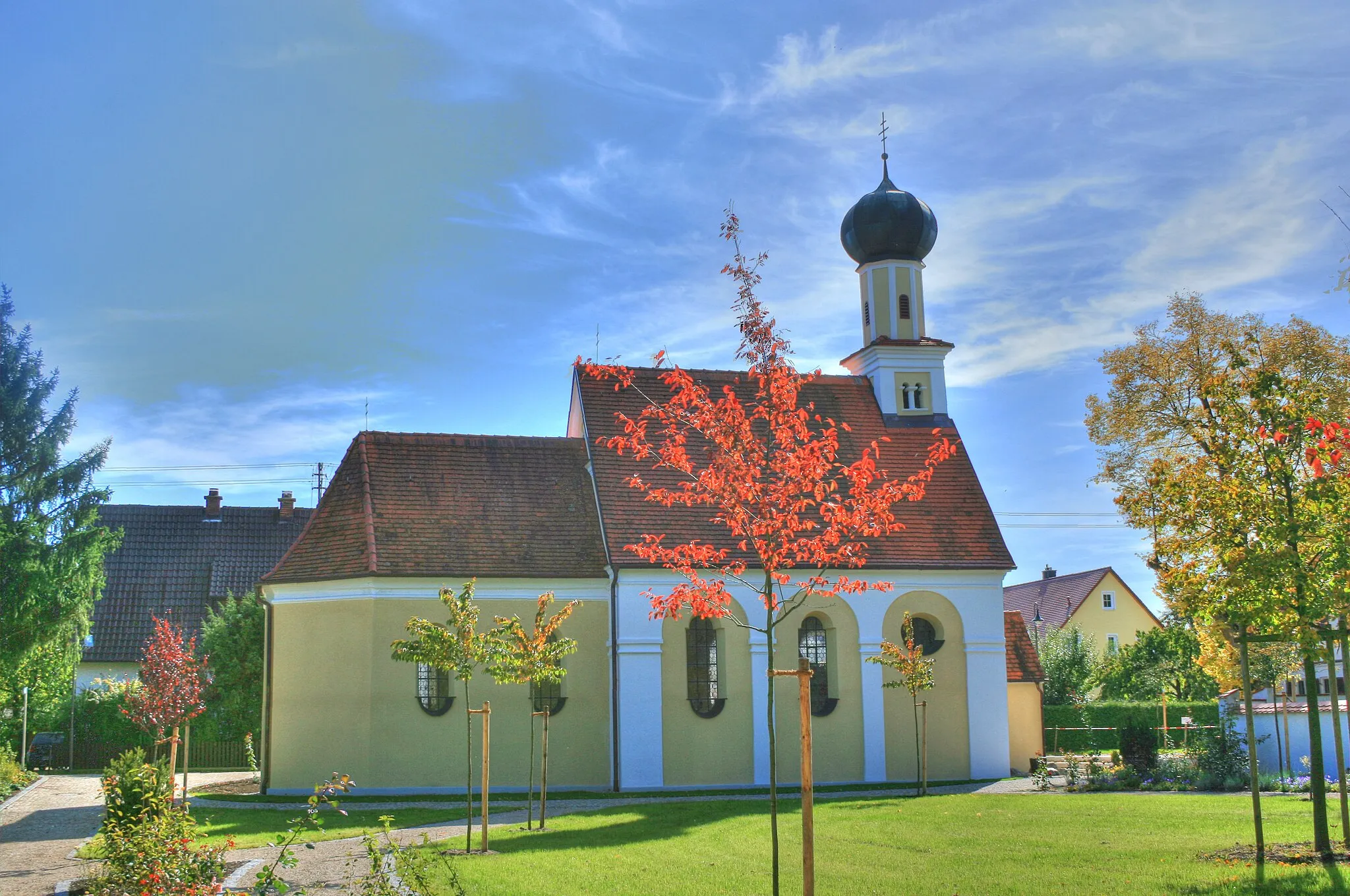
Explore the picturesque vineyards of Deggingen and immerse yourself in the history of the region as you visit the impressive Schloss Wiesensteig. This route offers a moderate level of difficulty with a total ascent of 1355m over a distance of 72km. The epicness of the route is enhanced by the stunning views of the countryside.
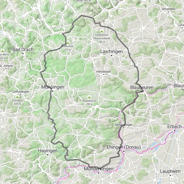
Embark on an epic road cycling adventure through Machtolsheim and beyond.
Get ready for an epic road cycling experience with the Machtolsheim Epic Ride. This challenging route spans 122 km and boasts an ascent of 1747 meters, making it perfect for experienced cyclists seeking an adrenaline rush. Highlights along the way include Machtolsheim, Blaubeuren, Bismarck, and the picturesque town of Ehingen. With an epicness rating of 4, this route is sure to leave a lasting impression.
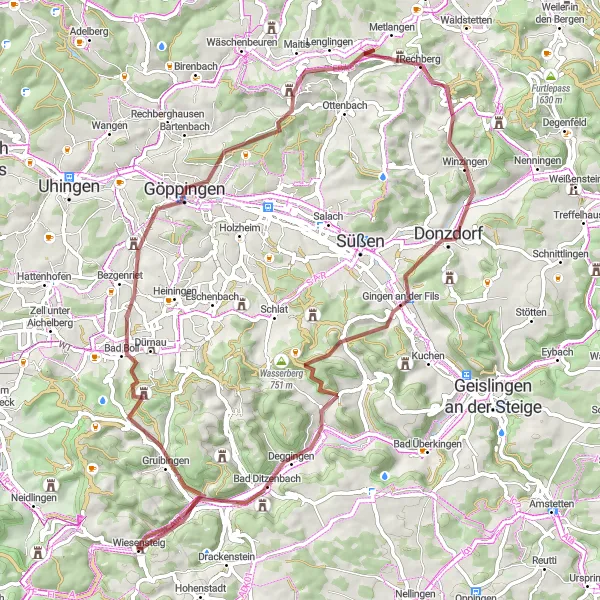
Embark on a visually impressive 79km road cycling route that culminates in the enchanting town of Donzdorf.
Experience the diversity of the region as you embark on this road cycling route featuring panoramic views and cultural highlights. With an ascent of 1104m over a distance of 79km, the route is suitable for well-trained amateur cyclists. The scenic beauty and historical significance of this route make it a great choice for cyclists looking for a mix of adventure and cultural exploration.
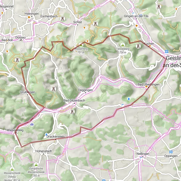
Experience the beauty of Nellingen on this thrilling gravel cycling route near Wiesensteig.
The Nellingen Gravel Loop is a thrilling journey through picturesque landscapes and challenging terrain. With a total distance of 73 km and an ascent of 1196 meters, this gravel route is perfect for riders seeking a mix of adventure and stunning scenery. Along the way, you'll encounter highlights such as the town of Nellingen, Blaubeuren, Heroldstatt, and of course, the iconic Lämmerbuckel. The epicness of this route is ranked at a 4, promising an unforgettable gravel cycling experience.
Ebele Challenge
Take on the Ebele Challenge and conquer the thrilling climbs in the region.
Get ready for a challenging ride with the Ebele Challenge. This road cycling route covers a distance of 97 km and boasts an ascent of 1778 meters, offering a test of endurance and strength. Highlights along the way include the Ruine Reußenstein, Zainingen, Grafeneck, and Bad Urach. With a difficulty rating of 5, this route is recommended for highly trained amateur cyclists seeking a tough challenge. The epicness rating of 4 reflects the impressive landscapes and rewarding views featured along the way.
Cycling routes nearby:


Nearby regions: