Experience the beauty of the Swabian Alps and conquer legendary climbs in Bad Ditzenbach.
Cycling routes from Bad Ditzenbach
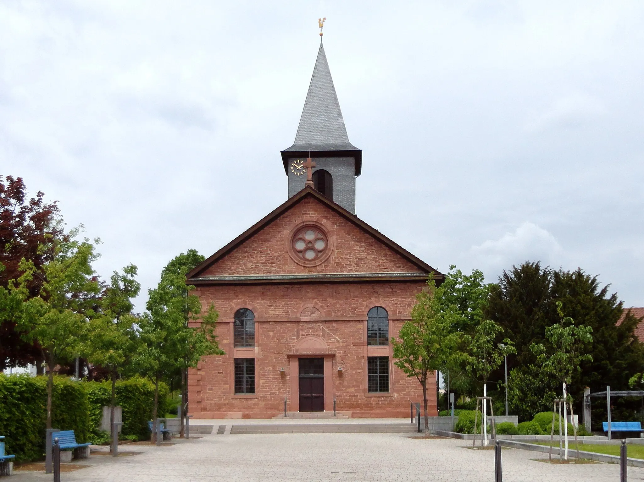
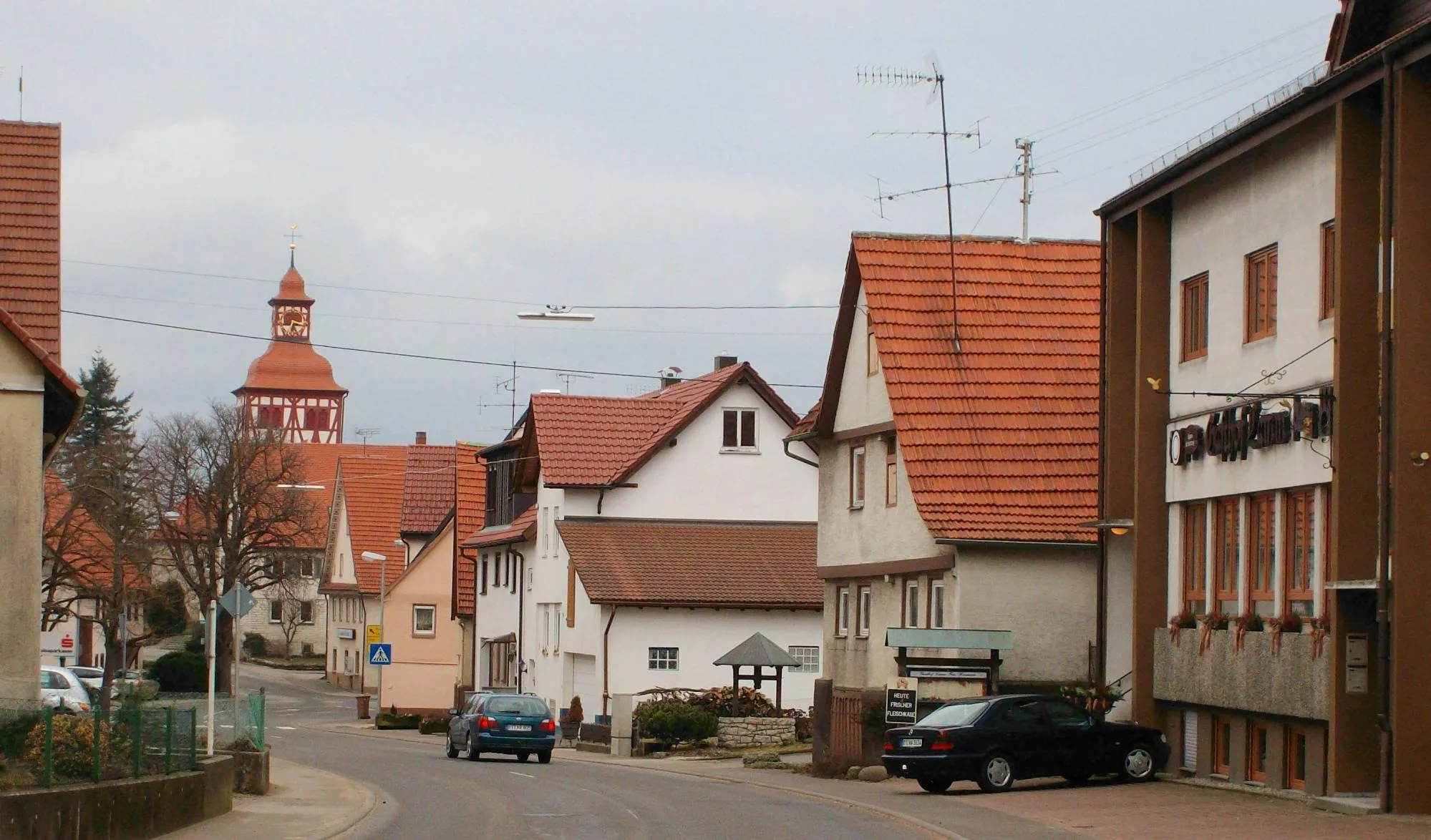
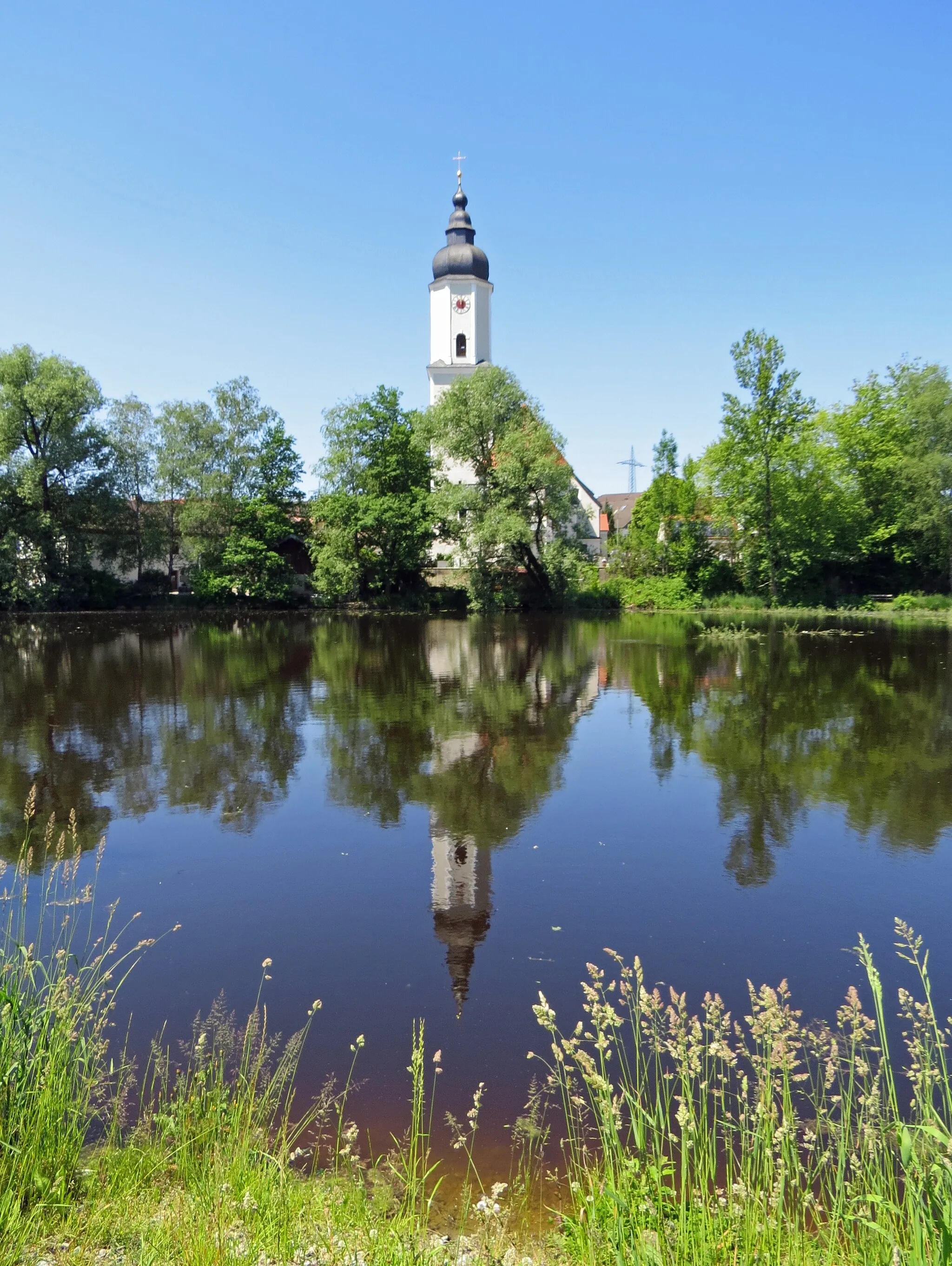
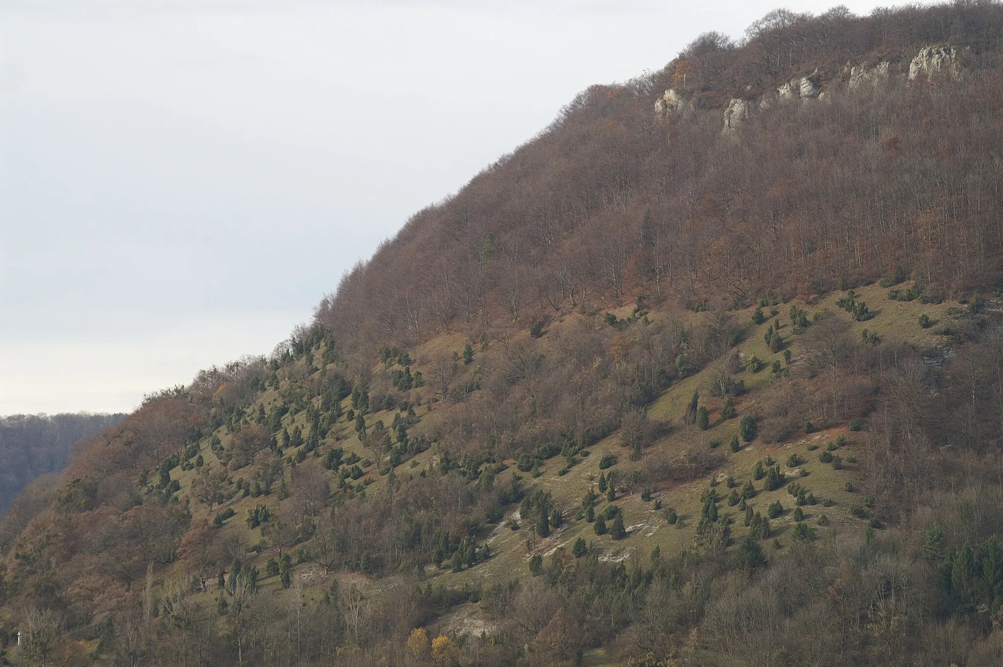
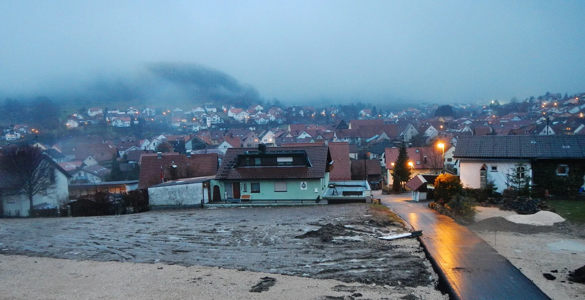
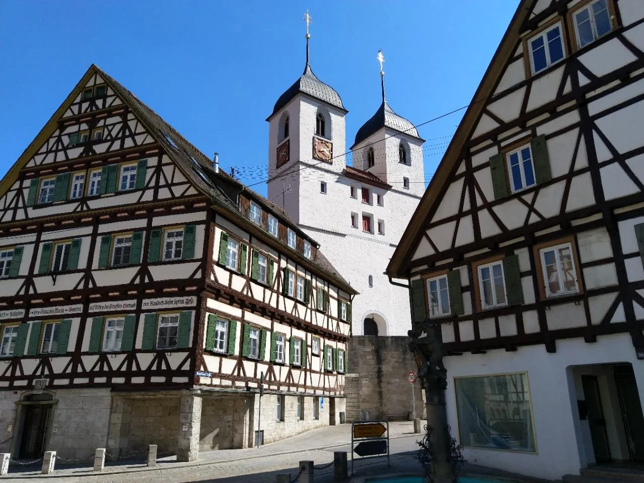
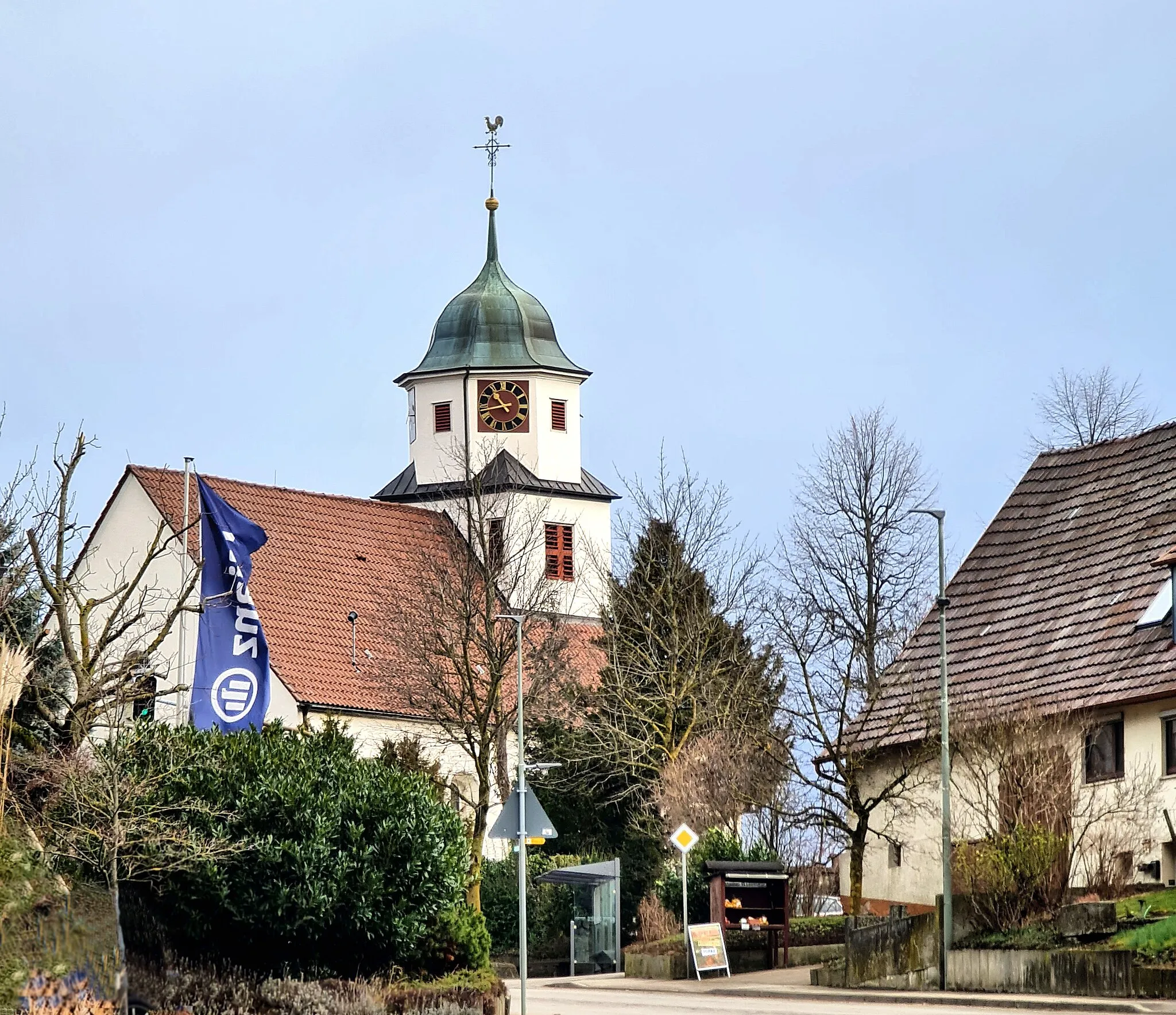
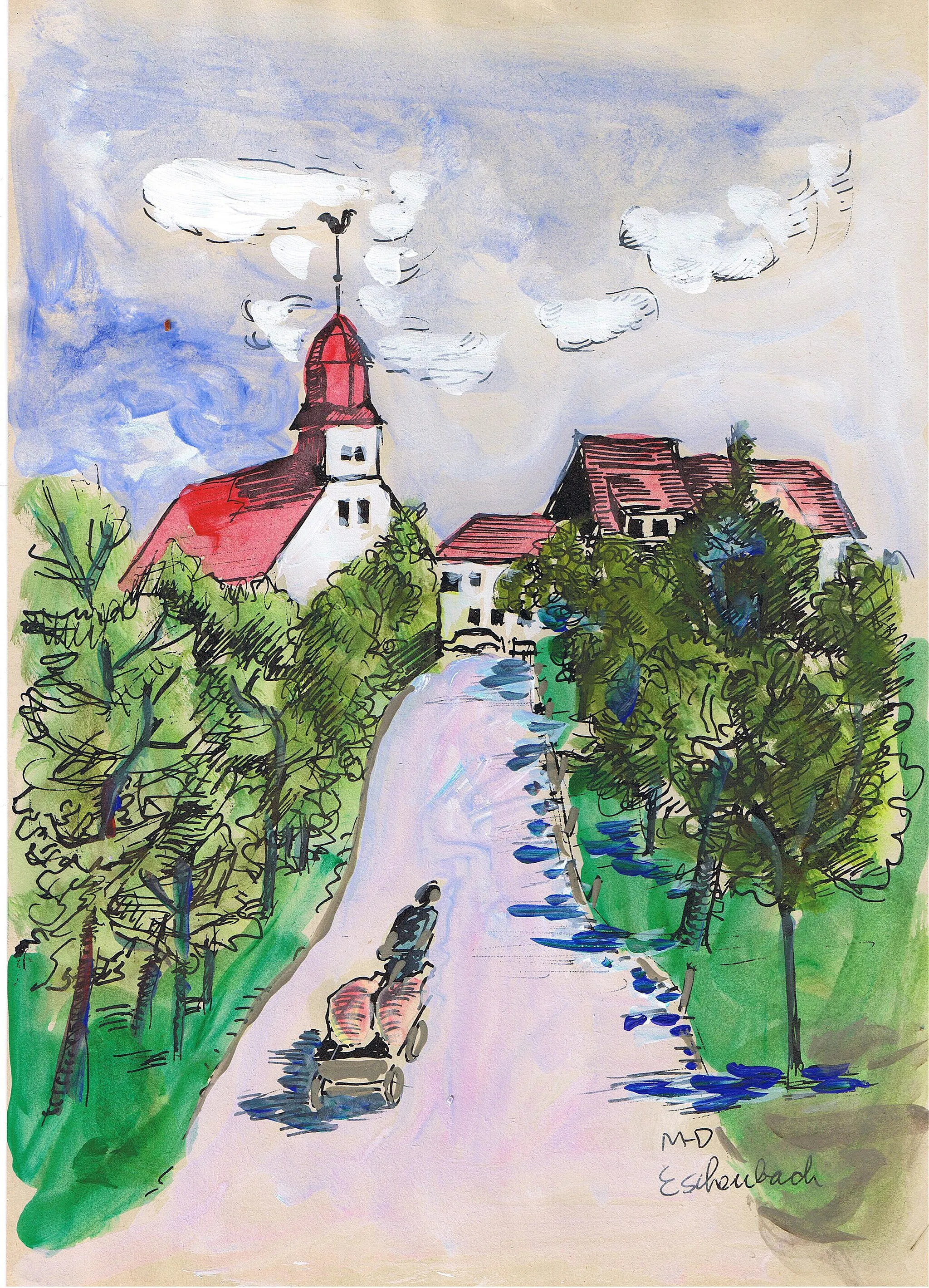
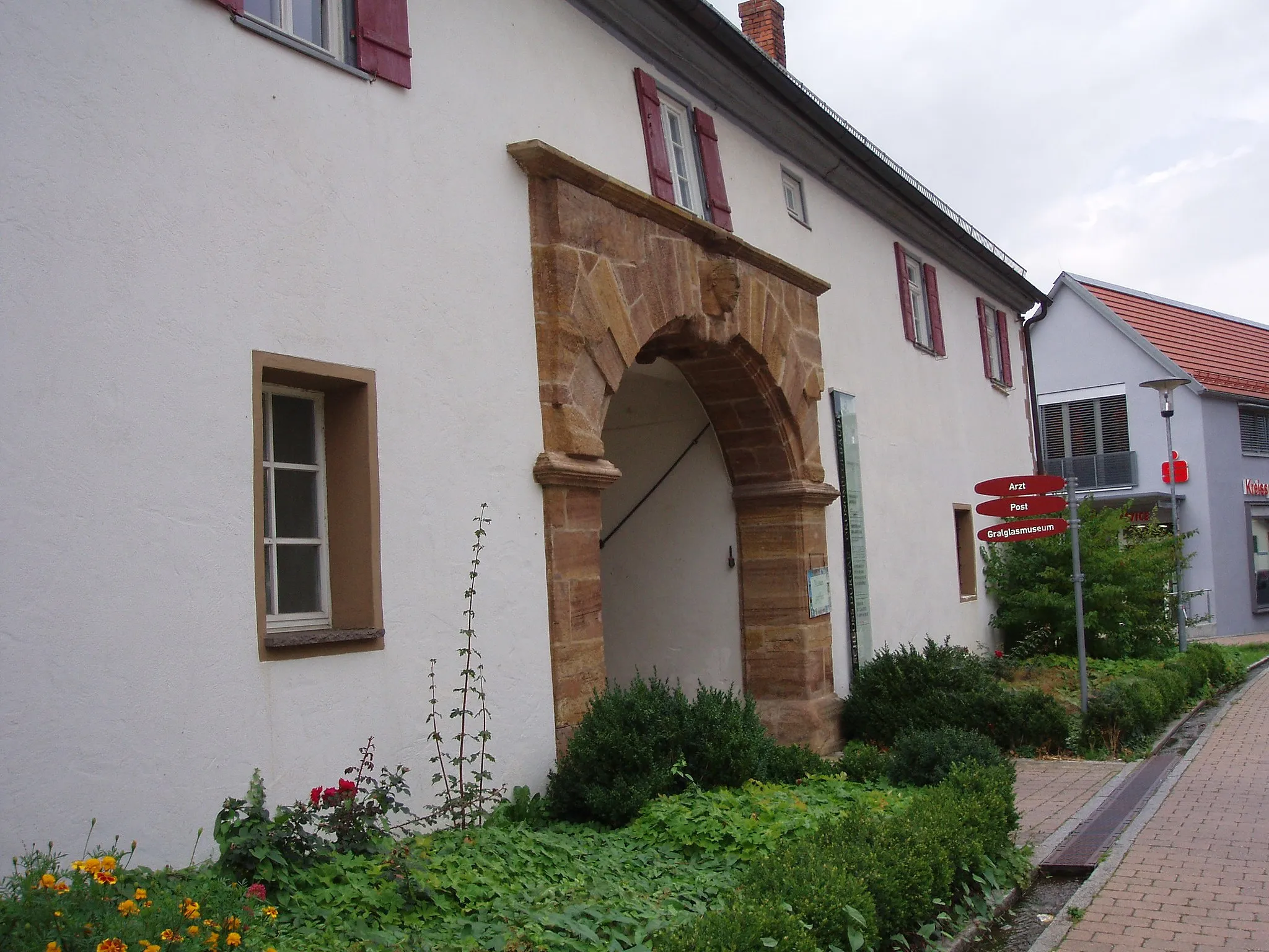
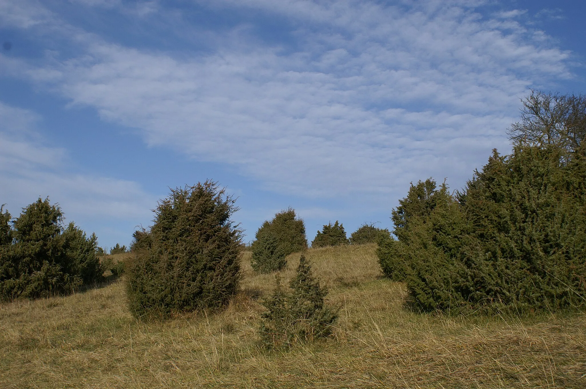
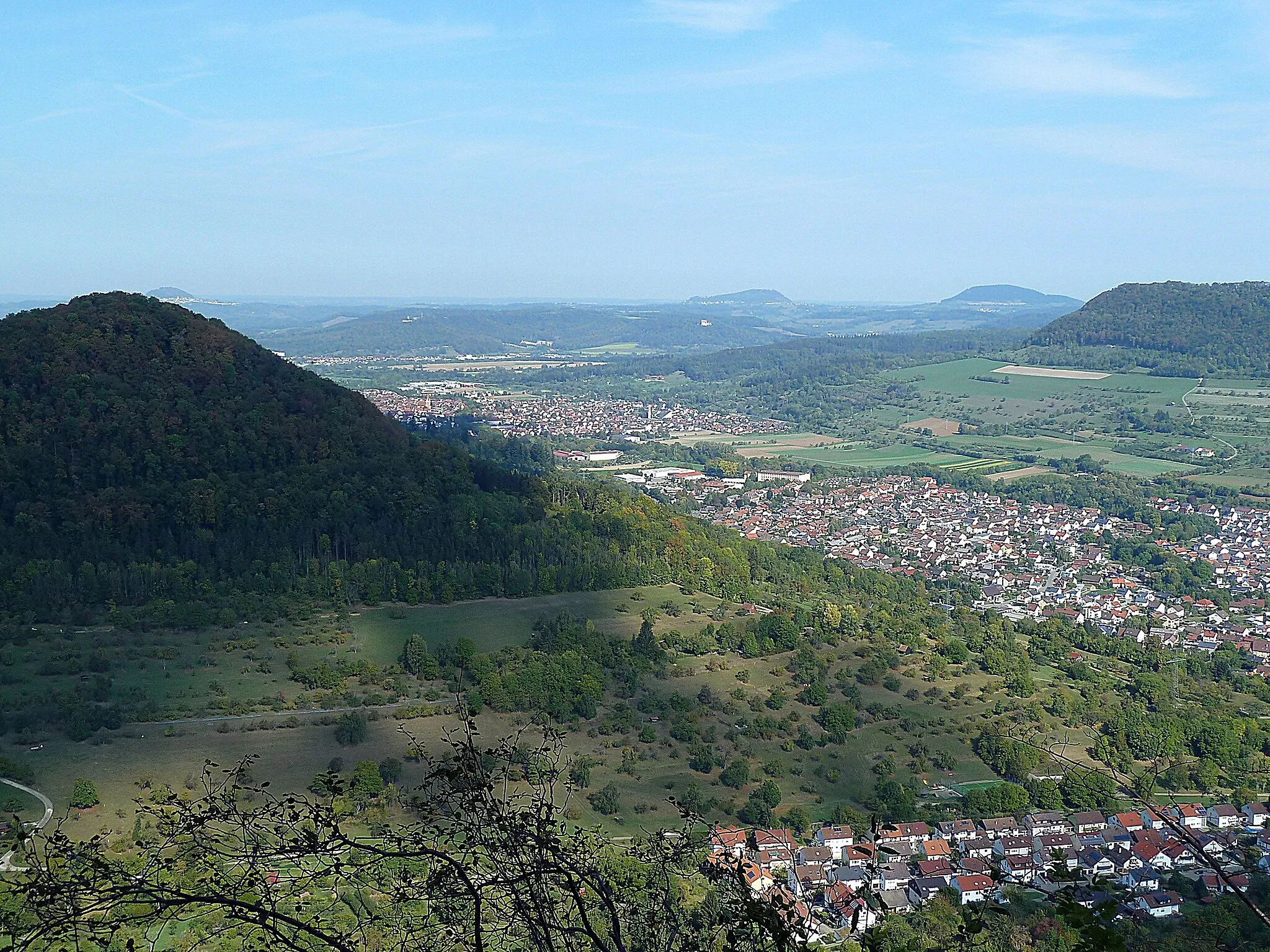
Bad Ditzenbach is a locality situated in Stuttgart, Germany. As a road and gravel cyclist, Bad Ditzenbach provides a range of cycling opportunities. The region offers scenic routes that pass through picturesque villages and countryside. Cyclists can also explore the nearby Swabian Alps, which features several well-known climbs, such as Grüble and Dettingen. With its beautiful landscapes and challenging terrain, Bad Ditzenbach is an ideal destination for cyclists looking for a mix of natural beauty and thrilling rides.
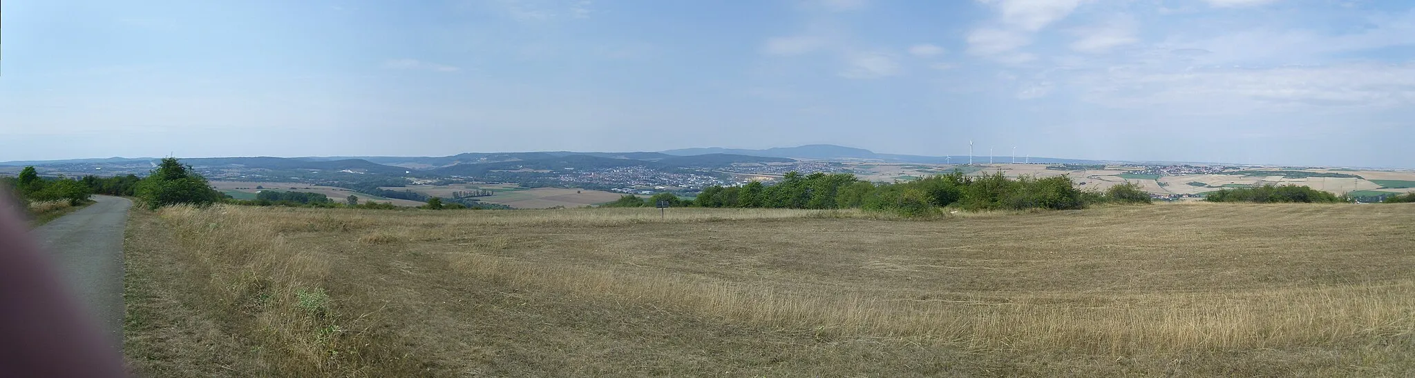
Exploring the stunning landscapes near Bad Ditzenbach
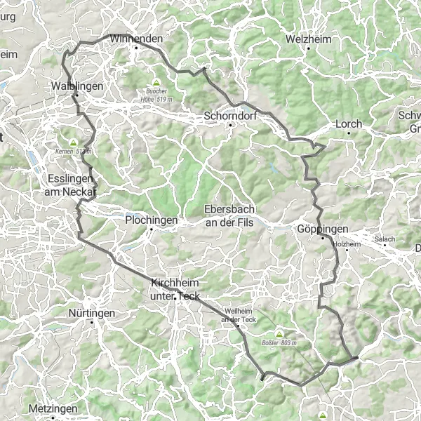
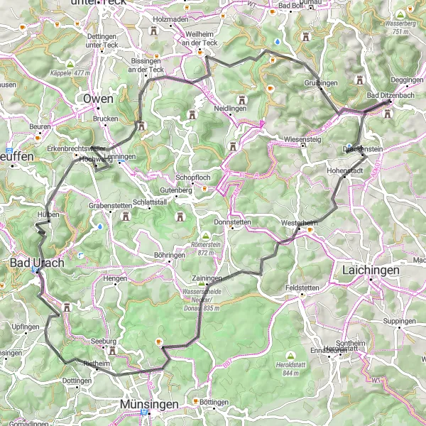
The Bad Ditzenbach Epic Loop is a challenging road cycling route that takes you through the spectacular landscapes surrounding Bad Ditzenbach. With a total ascent of 1,732 meters and a distance of 133 kilometers, this route is perfect for experienced cyclists looking for a challenging adventure. You will ride through picturesque towns such as Wiesensteig, Weilheim an der Teck, and Köngen, and enjoy breathtaking views from the top of Bläsiberg and Hohenstein. This route offers a blend of challenging climbs, thrilling descents, and scenic countryside roads, making it a truly memorable cycling experience.
A thrilling gravel adventure in the countryside near Bad Ditzenbach
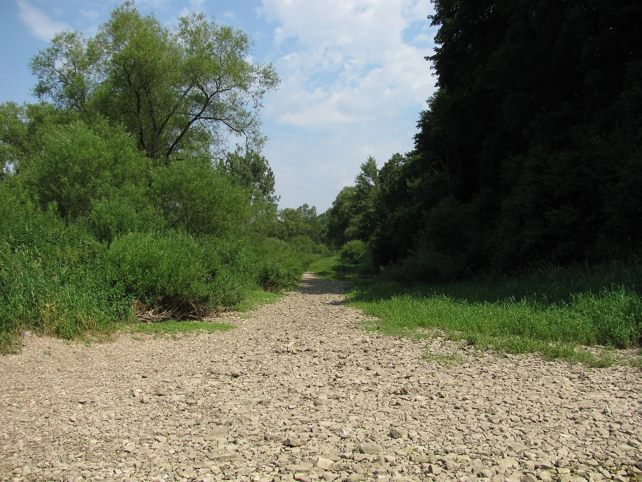
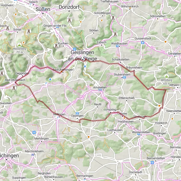
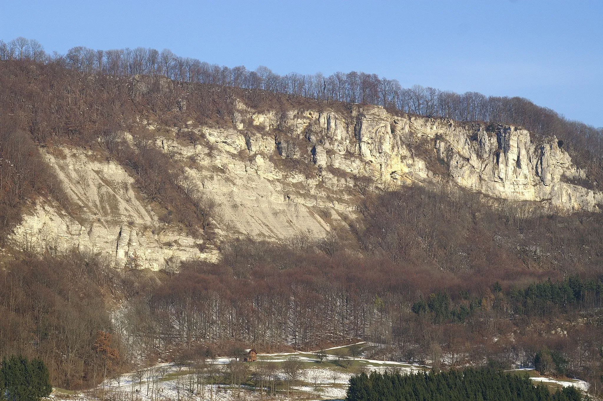
If you're looking for an off-road adventure, this gravel cycling route near Bad Ditzenbach is the perfect choice. Covering a distance of 60 kilometers and featuring an ascent of 811 meters, this route offers a thrilling ride through the beautiful countryside. Highlights include Geislingen an der Steige, a charming town known for its historic buildings, and the breathtaking Bismarckfelsen, a rock formation offering panoramic views. With a difficulty rating of 2 and an epicness level of 3, this route is suitable for intermediate gravel riders looking for a fun and adventurous day out.
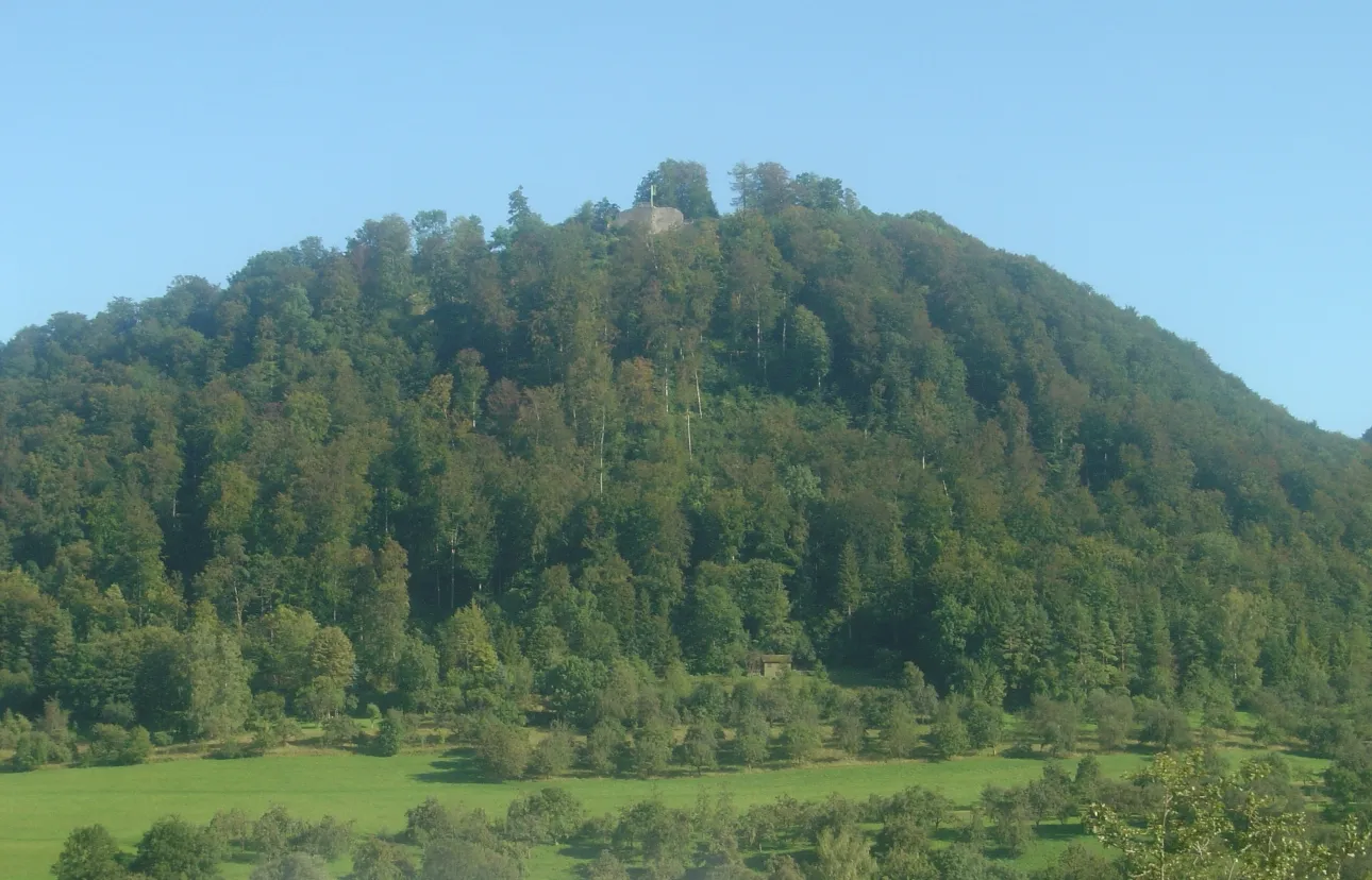
Experience the beauty of the Swabian Alb region and visit historic towns along the way
Embark on a cycling adventure through the picturesque Swabian Hills and explore multiple historic towns along the route. With a total distance of 89 km and an ascent of 1649 meters, this road cycling route offers a challenging yet rewarding experience for well-trained amateurs. Marvel at the stunning landscapes, charming villages, and cultural landmarks as you pedal through the heart of the Swabian Alb.
Embark on a thrilling road adventure starting from Bad Ditzenbach
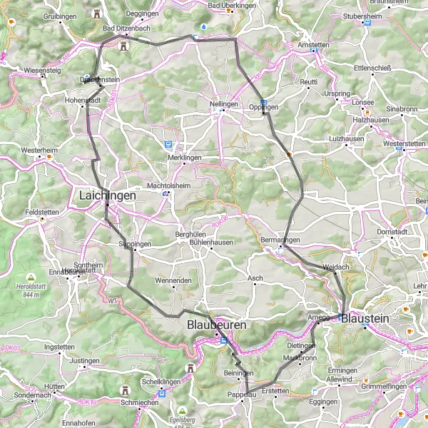
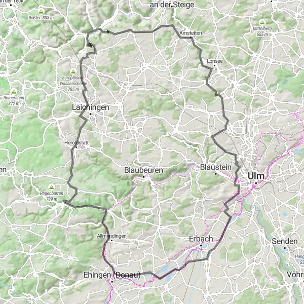
This road cycling route is an exciting adventure starting from Bad Ditzenbach, covering a distance of 79 kilometers with an ascent of 1131 meters. The route takes you through scenic landscapes with stunning views. The highlights include Leimberg at the start, Bad Ditzenbach at 2 kilometers, Oppingen at 16 kilometers, Herrlingen at 33 kilometers, Blausteinblick at 33 kilometers, Bismarck at 48 kilometers, Blaubeuren at 50 kilometers, Laichingen at 64 kilometers, and Hohenstadt at 72 kilometers. This route offers a mix of challenging climbs and exhilarating descents, making it a perfect choice for road cycling enthusiasts.
Explore the picturesque landscapes around Bad Ditzenbach on this gravel ride
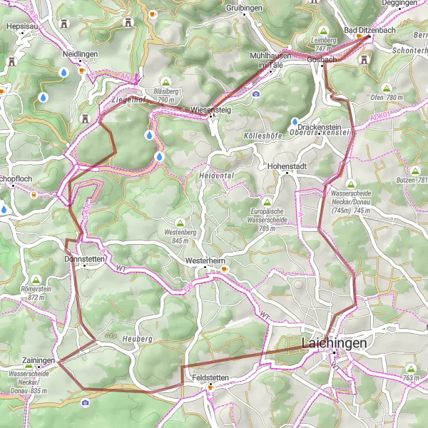
This gravel route offers a scenic adventure around Bad Ditzenbach, covering a distance of 49 kilometers with an ascent of 727 meters. As you ride through the picturesque landscapes, you'll have the opportunity to admire the beautiful natural surroundings. The highlights of this route include Schlossberg at the start, Laichingen at 14 kilometers, Waldgreutturm at 24 kilometers, Donnstetten at 30 kilometers, and Bläsiberg at 40 kilometers. This route provides a mix of gravel paths, forest trails, and captivating views, making it a perfect choice for gravel enthusiasts looking to explore the area.
Explore the scenic countryside around Bad Ditzenbach on this gravel route
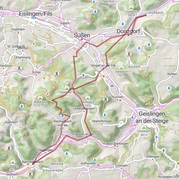
This gravel route takes you through the picturesque countryside near Bad Ditzenbach. With a distance of 43 kilometers and an ascent of 723 meters, it offers a challenging adventure for gravel riders. The route highlights include Fränkel at the 10-kilometer mark, Messelberg at 21 kilometers, and Donzdorf at 23 kilometers. Burren at 33 kilometers and Deggingen at 42 kilometers are also worth a visit. Overall, this route provides a unique exploration of the area with challenging gravel sections and beautiful natural surroundings.
Embark on a scenic road cycling adventure to Ulm
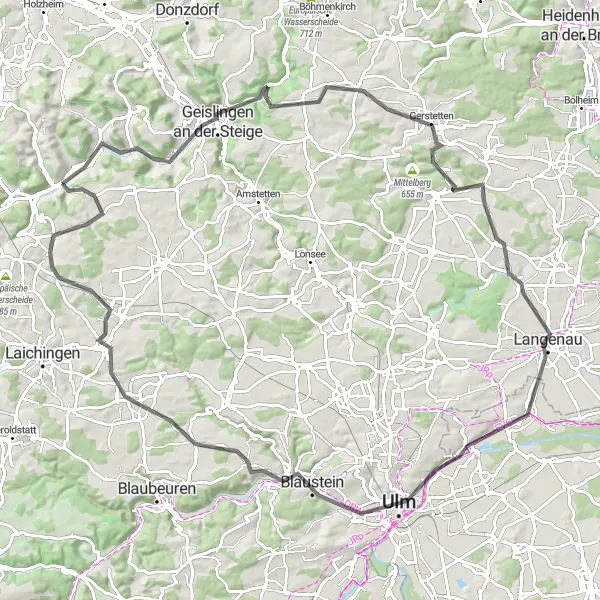
This road cycling route takes you on a scenic adventure from Bad Ditzenbach to Ulm, covering a distance of 110 kilometers with an ascent of 990 meters. The route is challenging yet rewarding, offering stunning views of the countryside along the way. The highlights include Geislingen an der Steige at 12 kilometers, Bismarckfelsen at 14 kilometers, Gerstetten at 31 kilometers, Ballendorf at 43 kilometers, Ulm at 67 kilometers, Stadtmauer at 67 kilometers, Herrlingen at 75 kilometers, Wasserturm Machtolsheim at 91 kilometers, Ofen at 103 kilometers, and Hiltenburg at 109 kilometers. This route provides a mix of historic sites, natural beauty, and challenging climbs.
Take on an epic gravel challenge starting from Bad Ditzenbach
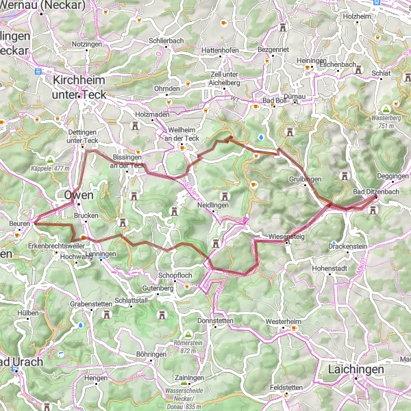
This challenging gravel route is a true adventure starting from Bad Ditzenbach. With a distance of 61 kilometers and an ascent of 1070 meters, it will test your endurance and skills. The highlights of this route include Bläsiberg at 8 kilometers, Asch at 19 kilometers, Lenningen at 23 kilometers, Engelberg at 29 kilometers, Bissingen an der Teck at 39 kilometers, Boßler at 50 kilometers, Gruibingen at 55 kilometers, Galgenberg at 61 kilometers, and Bad Ditzenbach at 61 kilometers. This route offers a mix of demanding climbs, technical descents, and breathtaking views, making it an epic gravel challenge.
A scenic road cycling route showcasing the beauty of Bad Ditzenbach
Explore the stunning landscapes of Bad Ditzenbach with this scenic road cycling route. Covering a distance of 125 kilometers and featuring an ascent of 1,454 meters, this route offers a perfect balance between challenging climbs and picturesque countryside roads. Highlights include the town of Dornstadt with its charming rural landscapes, and the captivating Dellmensingen with its rolling hills and peaceful atmosphere. With a difficulty rating of 3 and an epicness level of 4, this route promises an unforgettable cycling experience.
Bad Ditzenbach Gravel Loop
Discover the gravel roads around Bad Ditzenbach
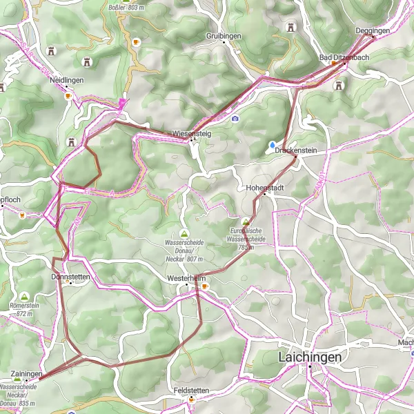
The Bad Ditzenbach Gravel Loop is a thrilling off-road adventure that takes you through the scenic countryside near Bad Ditzenbach. Covering a distance of 49 kilometers and featuring an ascent of 748 meters, this route offers a mix of gravel paths and quiet country roads. Highlights along the way include the town of Hohenstadt with its picturesque landscapes, and the Europäische Wasserscheide, a unique natural attraction where the watersheds of the Neckar and Danube rivers meet. With a difficulty level of 2 and an epicness rating of 3, this route is ideal for gravel riders looking to explore the beautiful landscapes of Bad Ditzenbach.
Cycling routes nearby:
Nearby regions: