Road Cycling Adventure to Ulm
A road cycling route starting from Bad Ditzenbach
Embark on a scenic road cycling adventure to Ulm
Map
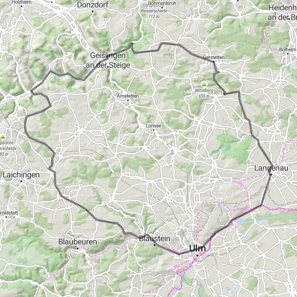
This road cycling route takes you on a scenic adventure from Bad Ditzenbach to Ulm, covering a distance of 110 kilometers with an ascent of 990 meters. The route is challenging yet rewarding, offering stunning views of the countryside along the way. The highlights include Geislingen an der Steige at 12 kilometers, Bismarckfelsen at 14 kilometers, Gerstetten at 31 kilometers, Ballendorf at 43 kilometers, Ulm at 67 kilometers, Stadtmauer at 67 kilometers, Herrlingen at 75 kilometers, Wasserturm Machtolsheim at 91 kilometers, Ofen at 103 kilometers, and Hiltenburg at 109 kilometers. This route provides a mix of historic sites, natural beauty, and challenging climbs.
road
110 km
990 m
Tough
Route profile
Highlights on the route
0 km
0 km
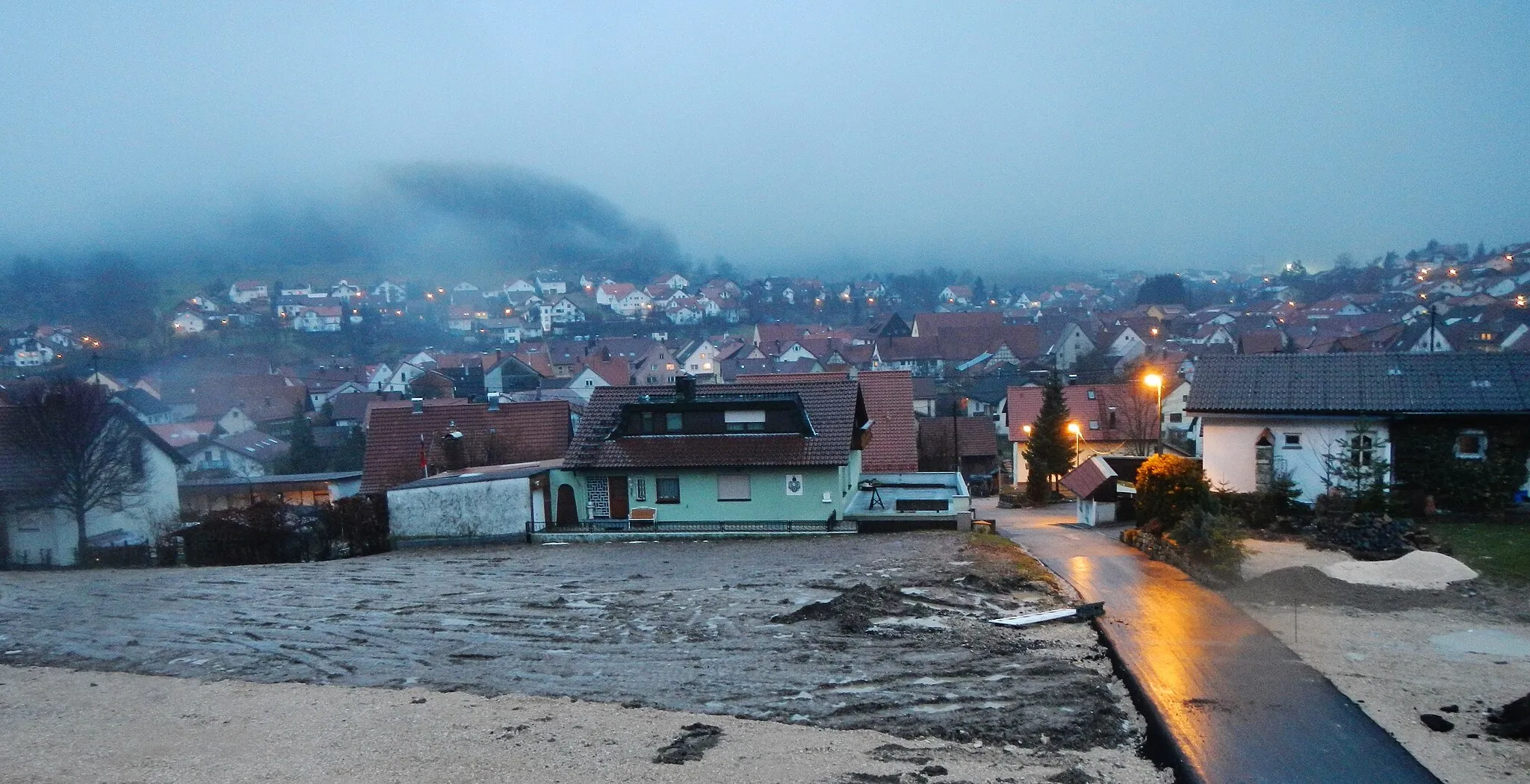
Start: Bad Ditzenbach Village centerBad Ditzenbach: Experience the beauty of the Swabian Alps and conquer legendary climbs in Bad Ditzenbach.
Bad Ditzenbach is a locality situated in Stuttgart, Germany. As a road and gravel cyclist, Bad Ditzenbach provides a range of cycling opportunities. The region offers scenic routes that pass through picturesque villages and countryside. Cyclists can also explore the nearby Swabian Alps, which features several well-known climbs, such as Grüble and Dettingen. With its beautiful landscapes and challenging terrain, Bad Ditzenbach is an ideal destination for cyclists looking for a mix of natural beauty and thrilling rides.12 km
12 km
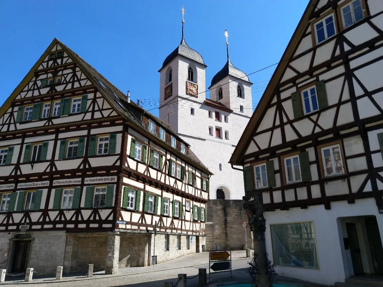
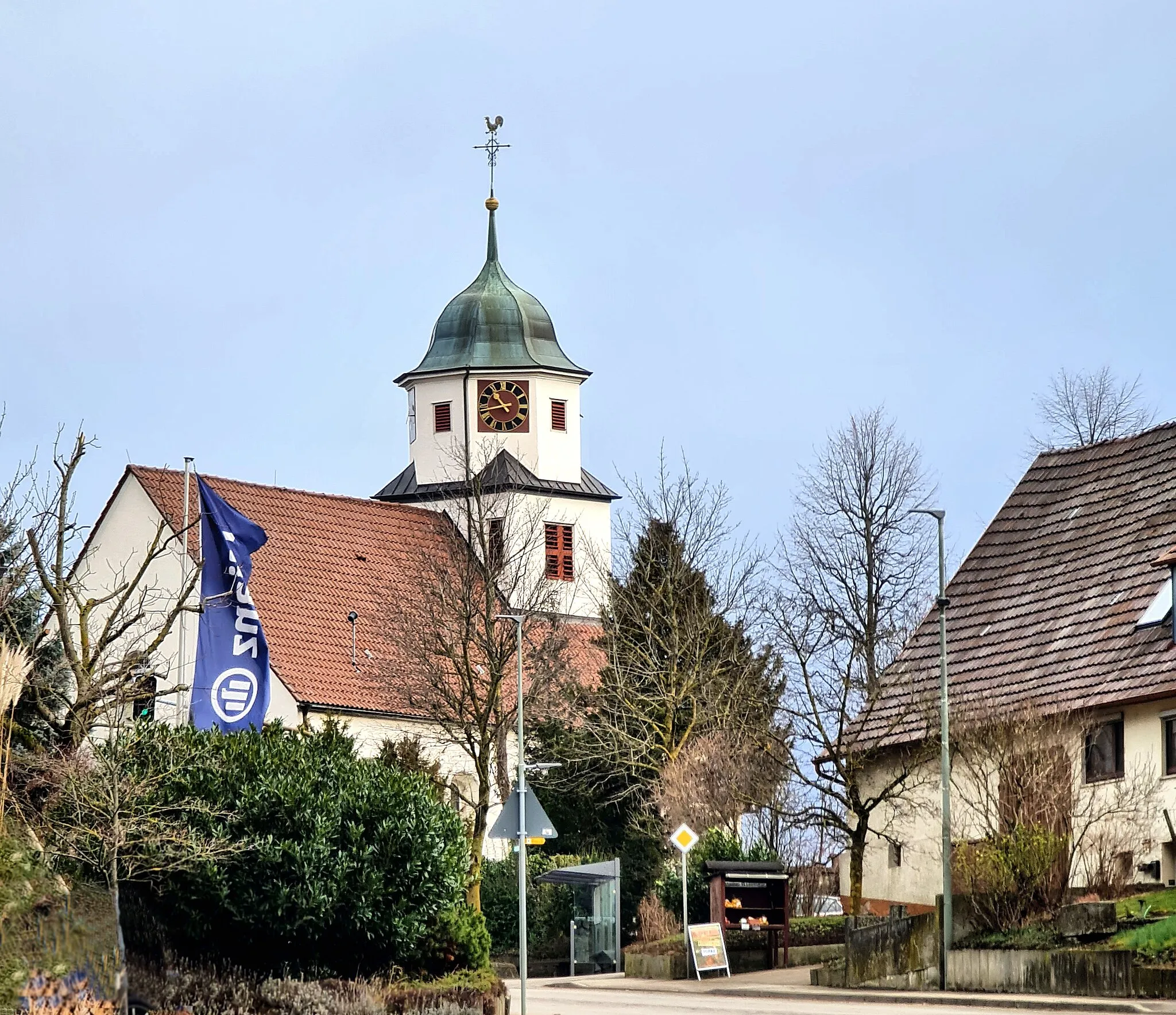
Geislingen an der SteigeTownGeislingen an der Steige is a charming town with a well-preserved medieval city center and historic buildings.
14 km
14 km
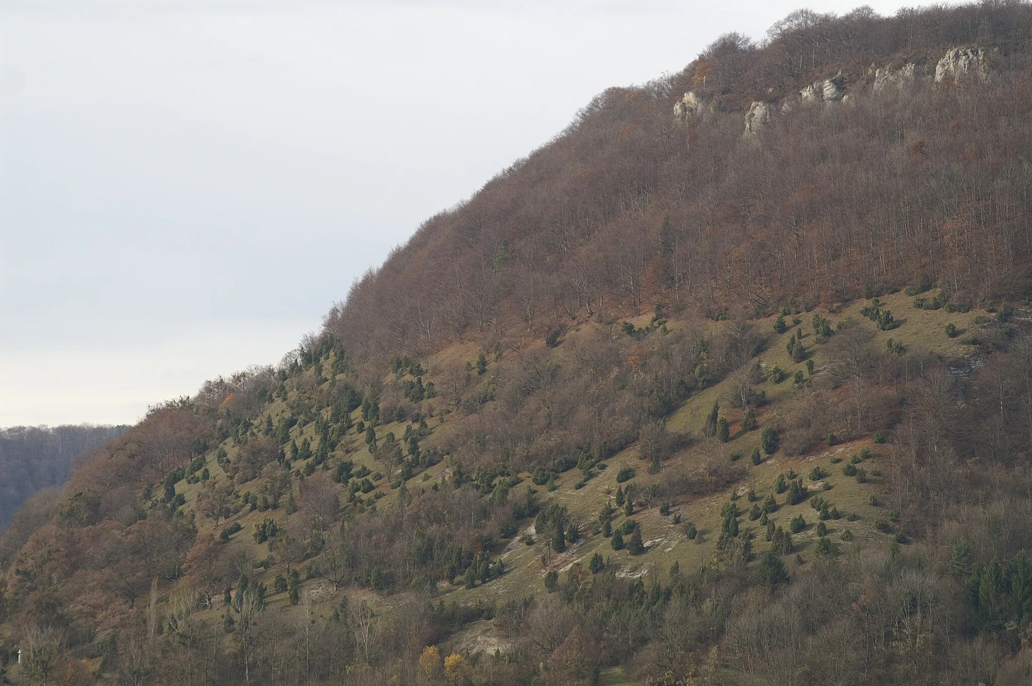
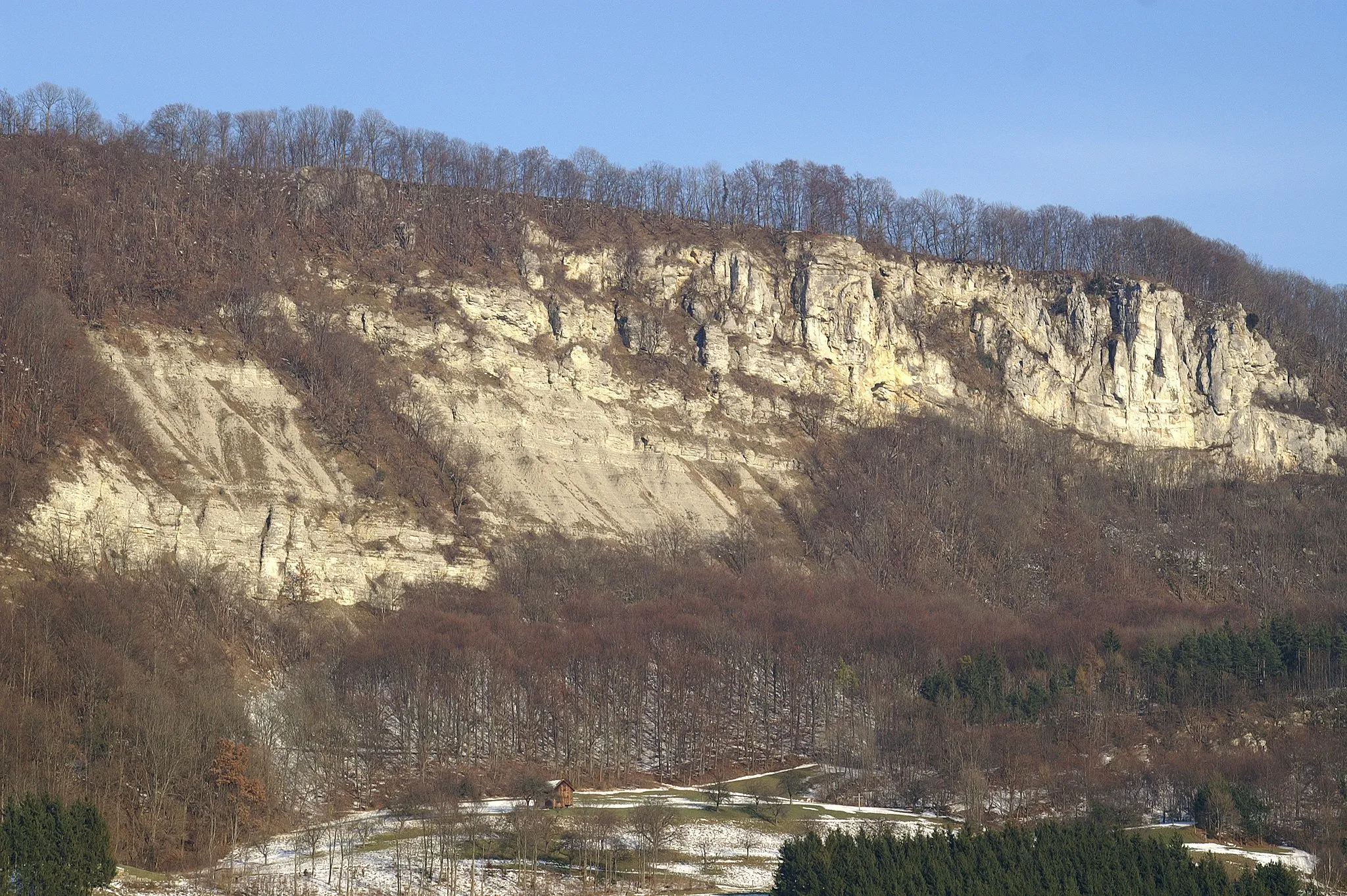
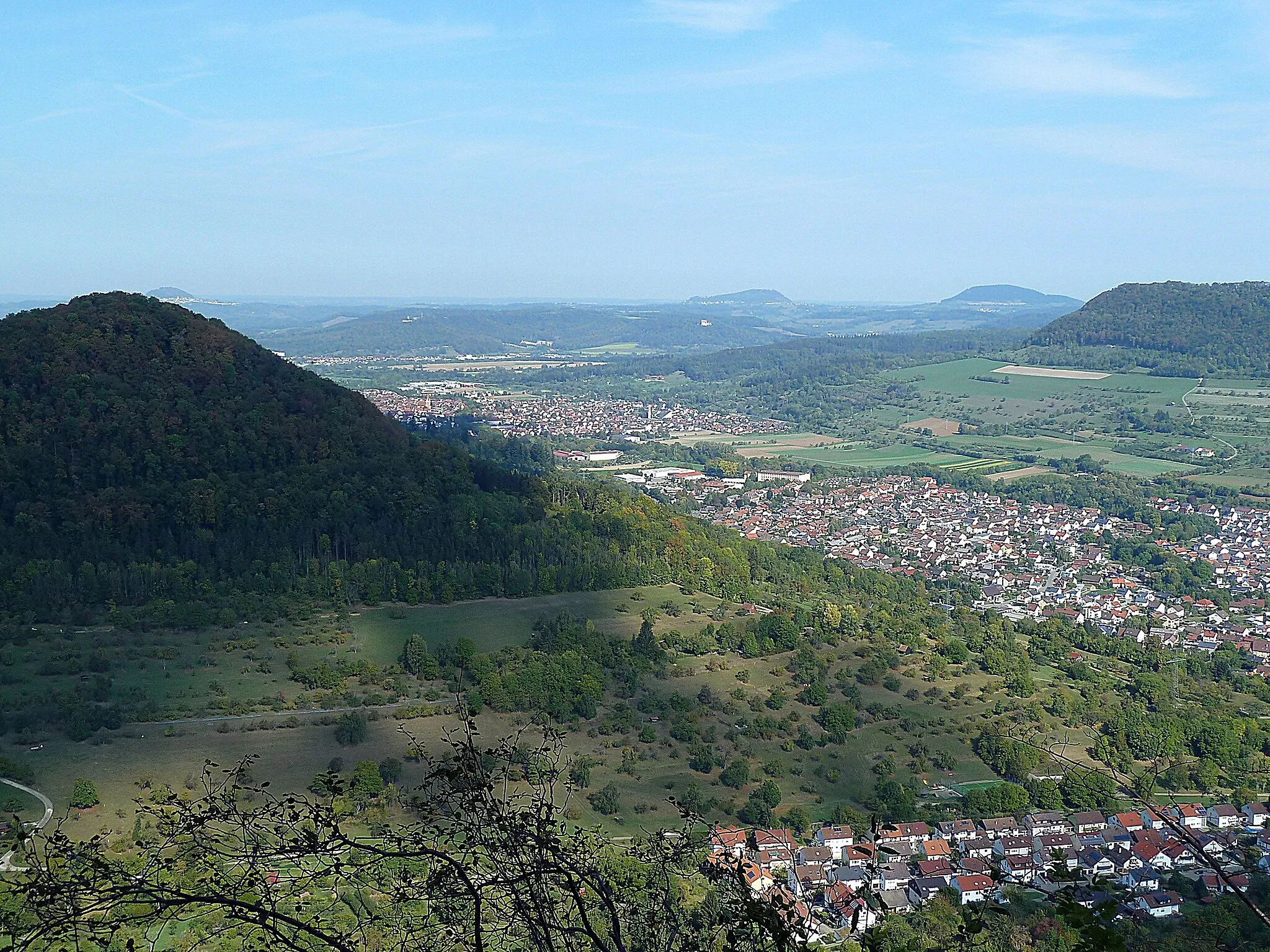
BismarckfelsenViewpointBismarckfelsen is a rock formation named after Otto von Bismarck overlooking the surrounding landscape.
31 km
31 km
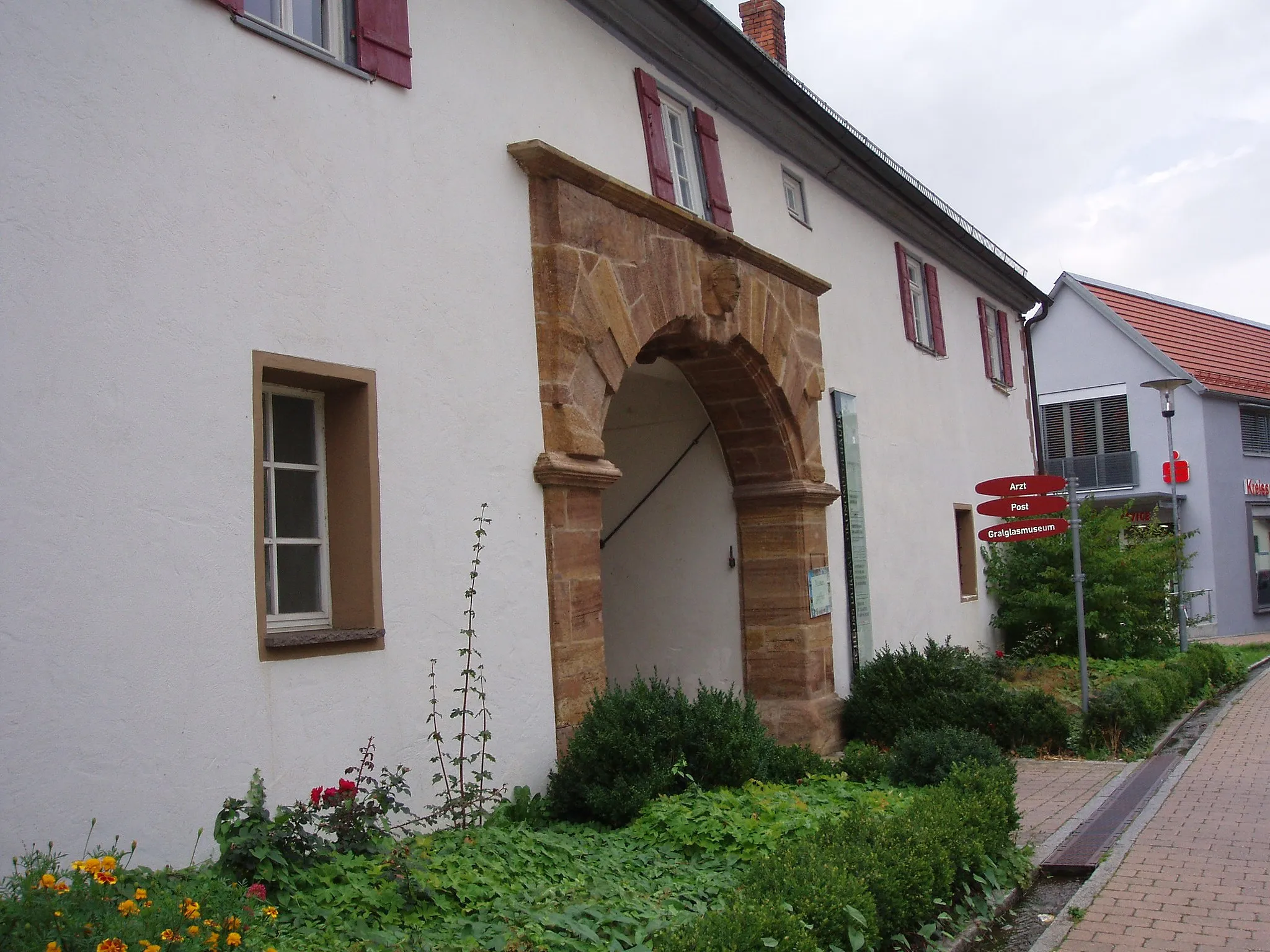
GerstettenVillageGerstetten is a historic village with well-preserved timber-framed houses and a charming market square.
43 km
43 km
BallendorfVillageBallendorf is a small village known for its fruit orchards and peaceful countryside.
67 km
67 km
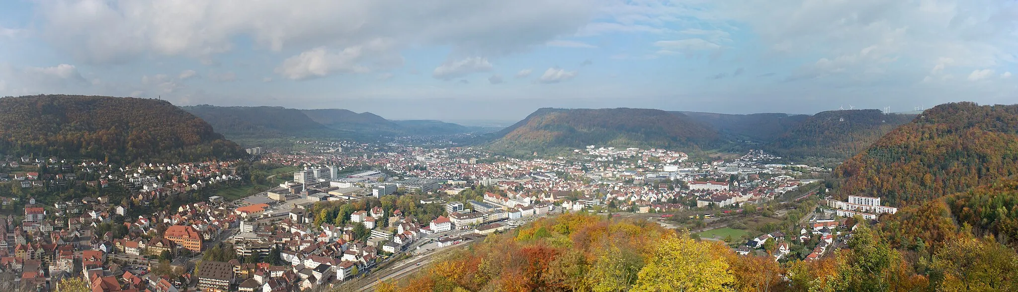
UlmCityUlm is a vibrant city with a rich history, including Ulm Minster, the tallest church in the world.
67 km
67 km
StadtmauerViewpointStadtmauer is the historic city wall of Ulm, offering views of the old town and River Danube.
75 km
75 km
HerrlingenVillageHerrlingen is a historic district known for its idyllic streets and traditional houses.
91 km
91 km
Wasserturm MachtolsheimViewpointWasserturm Machtolsheim is a water tower with an observation deck providing panoramic views of the region.
103 km
103 km
Ofen780 mPeakOfen is a small village famous for its old oven, which operated until the early 20th century.
109 km
109 km
HiltenburgCastleHiltenburg is a medieval castle ruin offering stunning views of the Swabian Alps.
110 km
110 km
Finish: Bad Ditzenbach Village centerBad Ditzenbach: Experience the beauty of the Swabian Alps and conquer legendary climbs in Bad Ditzenbach.
Cycling routes from Bad Ditzenbach:
Gravel Route to Bad Ditzenbach and Beyond Scenic Gravel Ride around Bad Ditzenbach Grueling Gravel Challenge from Bad Ditzenbach Bad Ditzenbach Epic Loop Gravel Adventure near Bad Ditzenbach Road Cycling Adventure to Ulm Bad Ditzenbach Gravel Loop Road Adventure from Bad Ditzenbach Bad Ditzenbach Scenic Route Scenic Countryside Ride from Bad Ditzenbach The Swabian Hills and Historic Towns
Cycling routes nearby: