Grueling Gravel Challenge from Bad Ditzenbach
A gravel cycling route starting from Bad Ditzenbach
Take on an epic gravel challenge starting from Bad Ditzenbach
Map
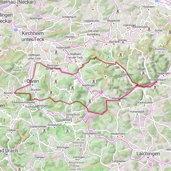
This challenging gravel route is a true adventure starting from Bad Ditzenbach. With a distance of 61 kilometers and an ascent of 1070 meters, it will test your endurance and skills. The highlights of this route include Bläsiberg at 8 kilometers, Asch at 19 kilometers, Lenningen at 23 kilometers, Engelberg at 29 kilometers, Bissingen an der Teck at 39 kilometers, Boßler at 50 kilometers, Gruibingen at 55 kilometers, Galgenberg at 61 kilometers, and Bad Ditzenbach at 61 kilometers. This route offers a mix of demanding climbs, technical descents, and breathtaking views, making it an epic gravel challenge.
gravel
61 km
1070 m
Savage
Route profile
Highlights on the route
0 km
0 km
Start: Bad Ditzenbach Village centerBad Ditzenbach: Experience the beauty of the Swabian Alps and conquer legendary climbs in Bad Ditzenbach.
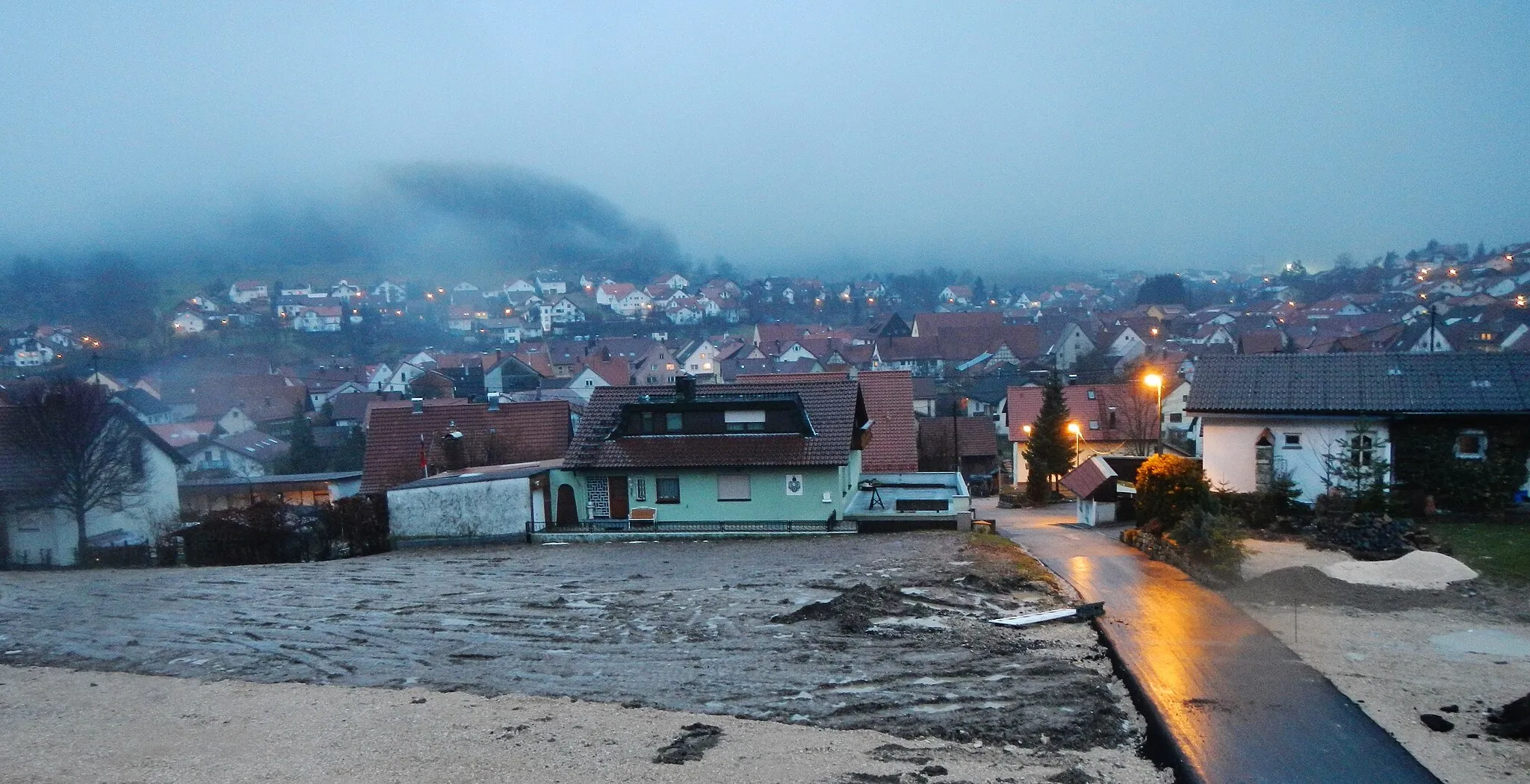
Bad Ditzenbach is a locality situated in Stuttgart, Germany. As a road and gravel cyclist, Bad Ditzenbach provides a range of cycling opportunities. The region offers scenic routes that pass through picturesque villages and countryside. Cyclists can also explore the nearby Swabian Alps, which features several well-known climbs, such as Grüble and Dettingen. With its beautiful landscapes and challenging terrain, Bad Ditzenbach is an ideal destination for cyclists looking for a mix of natural beauty and thrilling rides.8 km
8 km
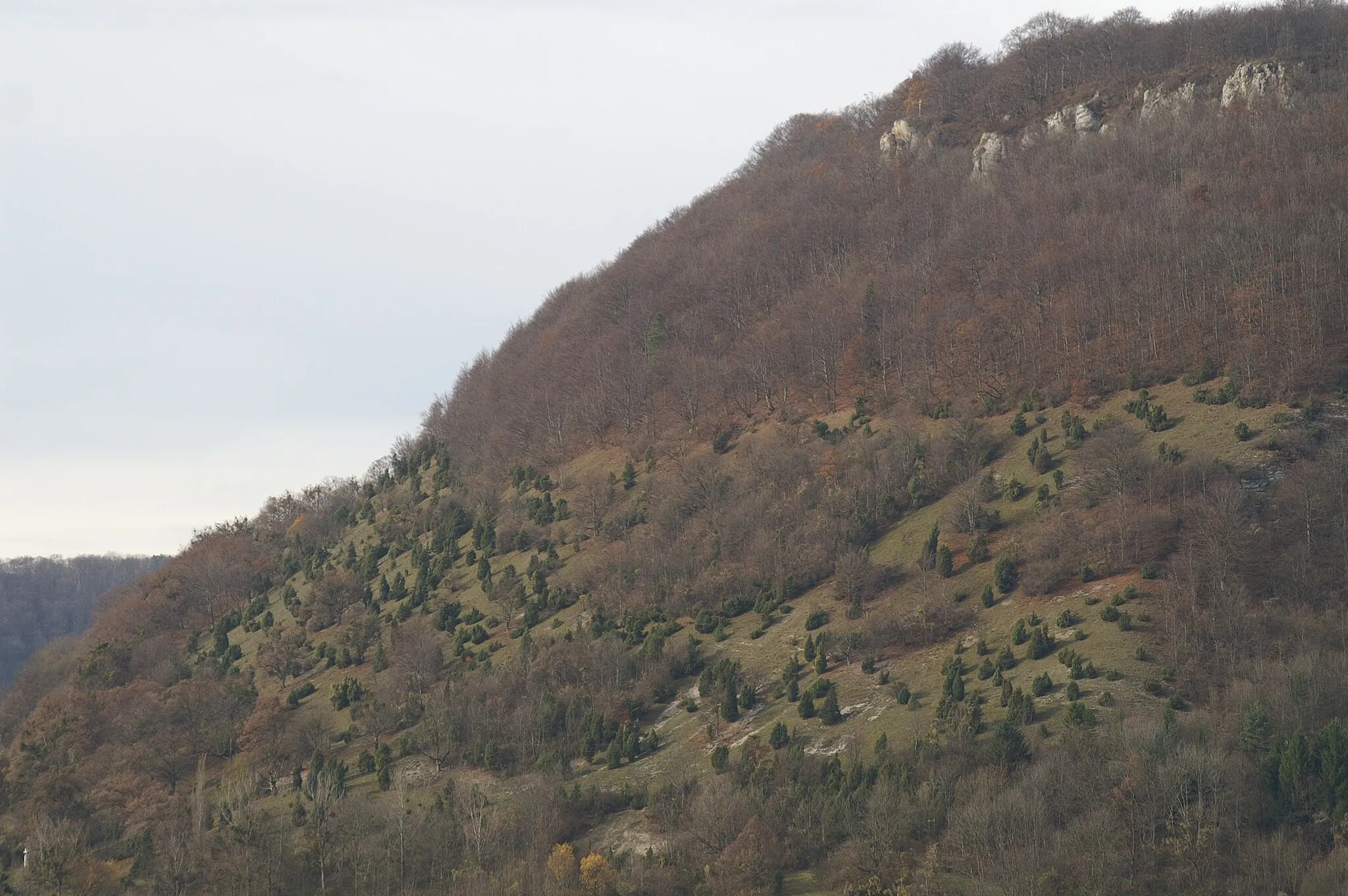
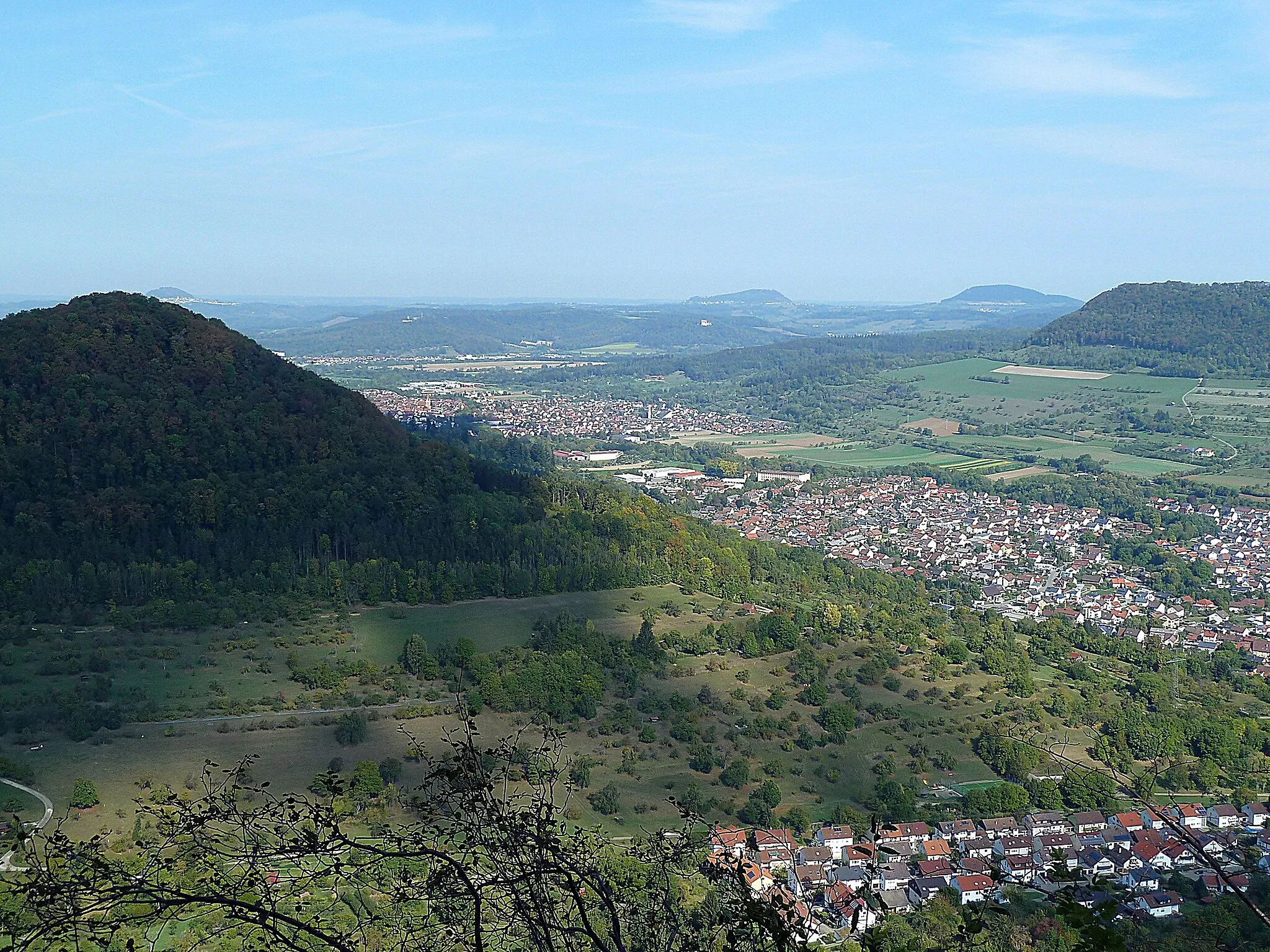
Bläsiberg790 mPeakBläsiberg is a popular viewpoint offering breathtaking panoramic views of the region.
19 km
19 km
Asch822 mPeakAsch is a charming village known for its traditional half-timbered houses and historical architecture.
23 km
23 km
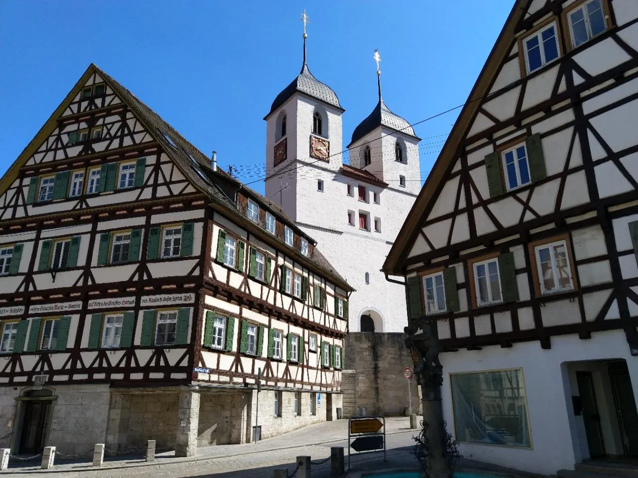
LenningenVillageLenningen is a picturesque village with a medieval castle and beautiful scenic surroundings.
29 km
29 km
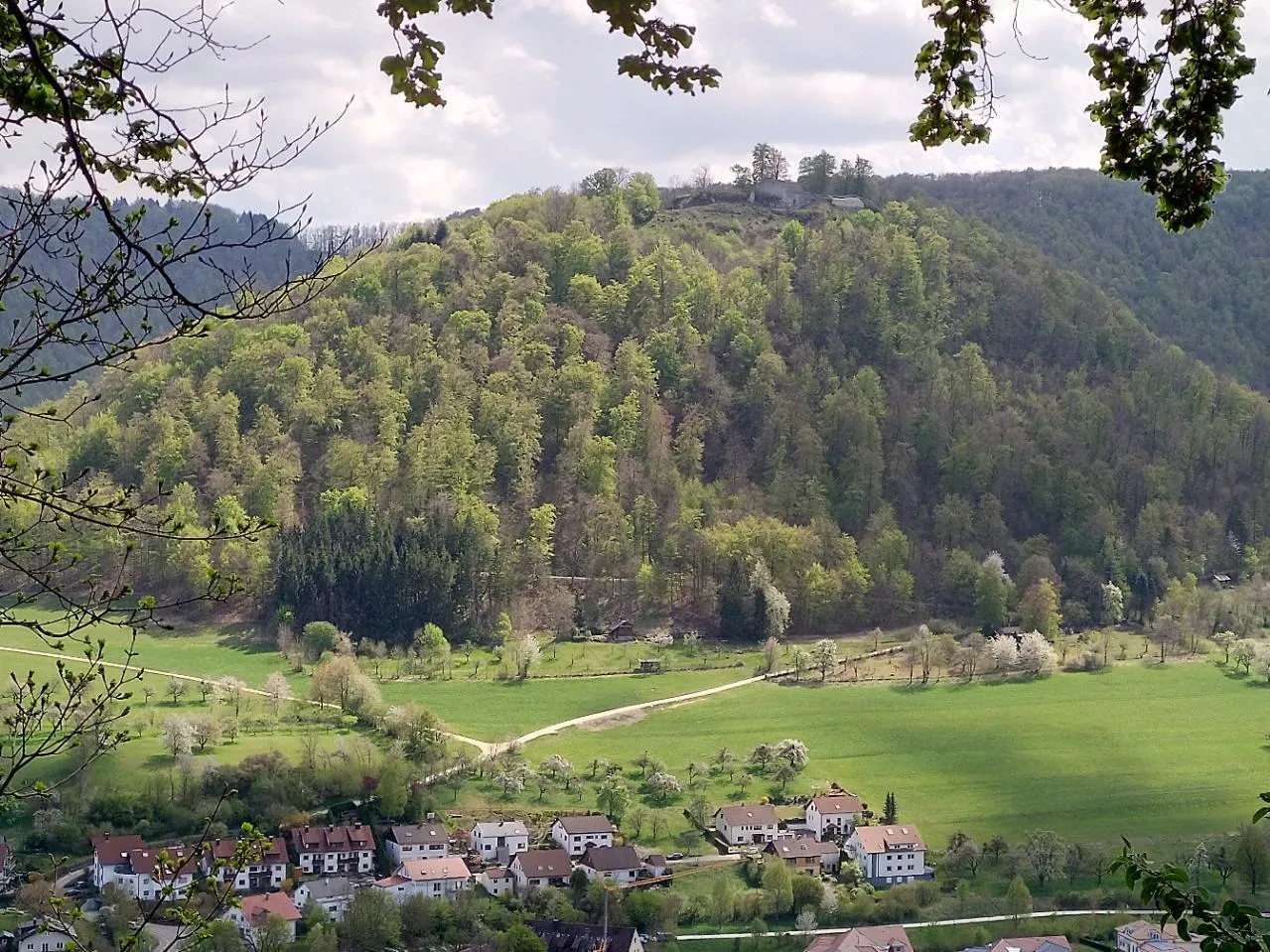
Engelberg528 mPeakEngelberg is a serene village nestled in a valley surrounded by untouched nature and mountain panoramas.
39 km
39 km
Bissingen an der TeckVillageBissingen an der Teck is a historic town with a well-preserved medieval city center and charming streets.
50 km
50 km
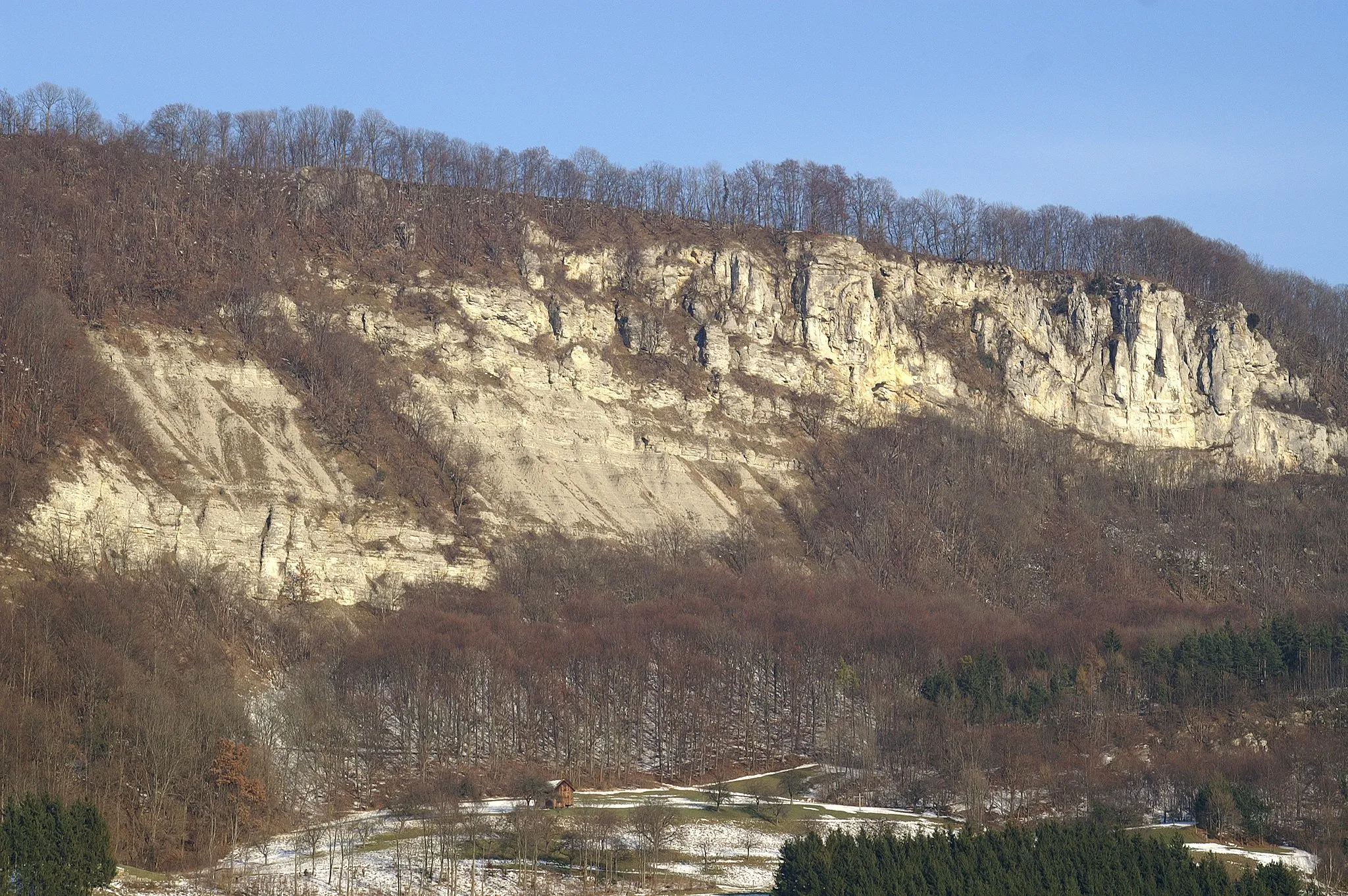
Boßler803 mPeak ViewpointBoßler is a challenging climb offering stunning views of the Swabian Jura National Park.
55 km
55 km
GruibingenVillageGruibingen is a small village with a castle and stunning views of the surrounding landscapes.
61 km
61 km
Galgenberg714 mPeakGalgenberg is a hilltop with remnants of ancient gallows and commanding views over the surrounding area.
61 km
61 km
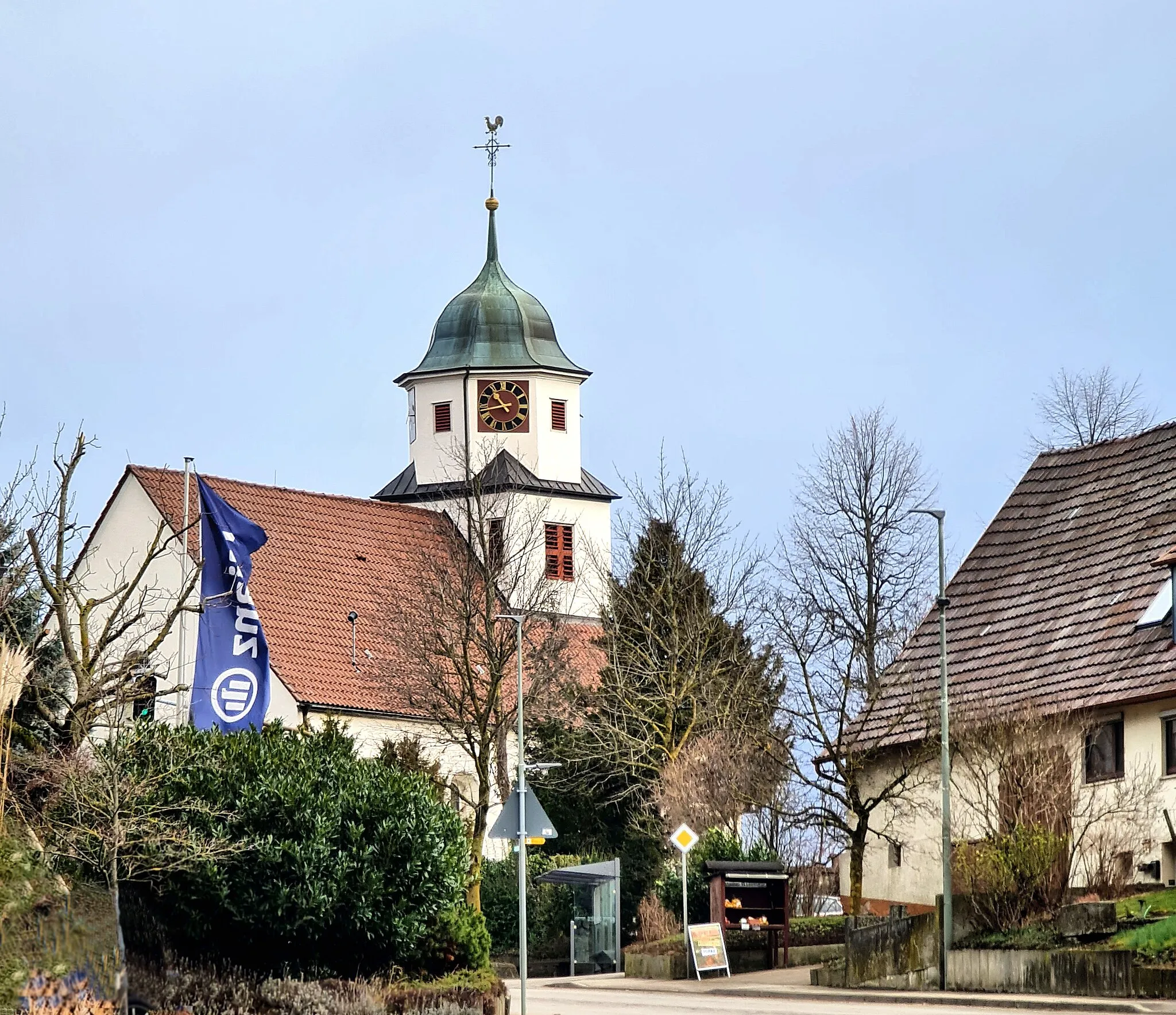
Bad DitzenbachVillageBad Ditzenbach is a charming town with an interesting history and beautiful architecture.
61 km
61 km
Finish: Bad Ditzenbach Village centerBad Ditzenbach: Experience the beauty of the Swabian Alps and conquer legendary climbs in Bad Ditzenbach.
Cycling routes from Bad Ditzenbach:
Gravel Route to Bad Ditzenbach and Beyond Scenic Gravel Ride around Bad Ditzenbach Grueling Gravel Challenge from Bad Ditzenbach Bad Ditzenbach Epic Loop Gravel Adventure near Bad Ditzenbach Road Cycling Adventure to Ulm Bad Ditzenbach Gravel Loop Road Adventure from Bad Ditzenbach Bad Ditzenbach Scenic Route Scenic Countryside Ride from Bad Ditzenbach The Swabian Hills and Historic Towns
Cycling routes nearby: