Bad Ditzenbach Gravel Loop
A gravel cycling route starting from Bad Ditzenbach
Discover the gravel roads around Bad Ditzenbach
Map
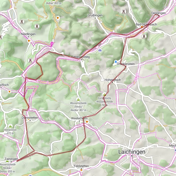
The Bad Ditzenbach Gravel Loop is a thrilling off-road adventure that takes you through the scenic countryside near Bad Ditzenbach. Covering a distance of 49 kilometers and featuring an ascent of 748 meters, this route offers a mix of gravel paths and quiet country roads. Highlights along the way include the town of Hohenstadt with its picturesque landscapes, and the Europäische Wasserscheide, a unique natural attraction where the watersheds of the Neckar and Danube rivers meet. With a difficulty level of 2 and an epicness rating of 3, this route is ideal for gravel riders looking to explore the beautiful landscapes of Bad Ditzenbach.
gravel
49 km
748 m
Chill
Route profile
Highlights on the route
0 km
0 km
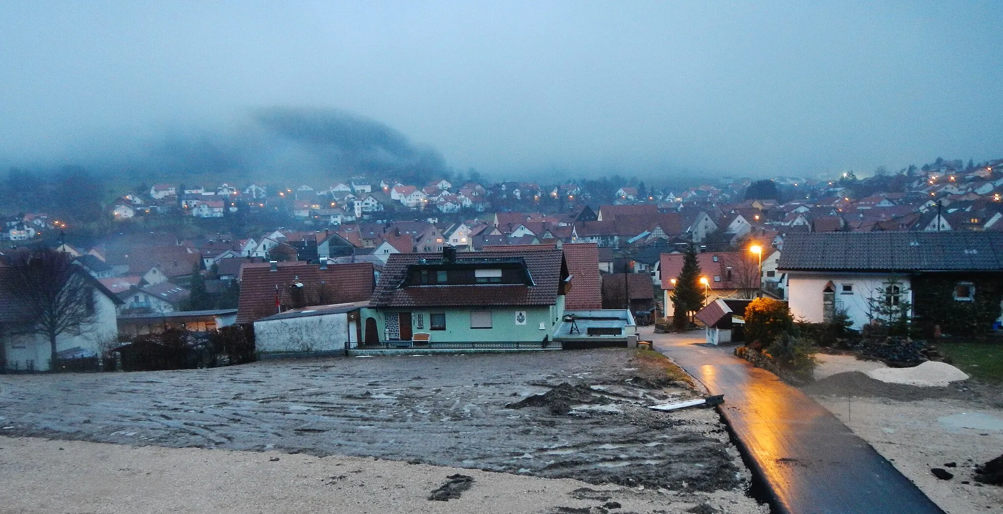
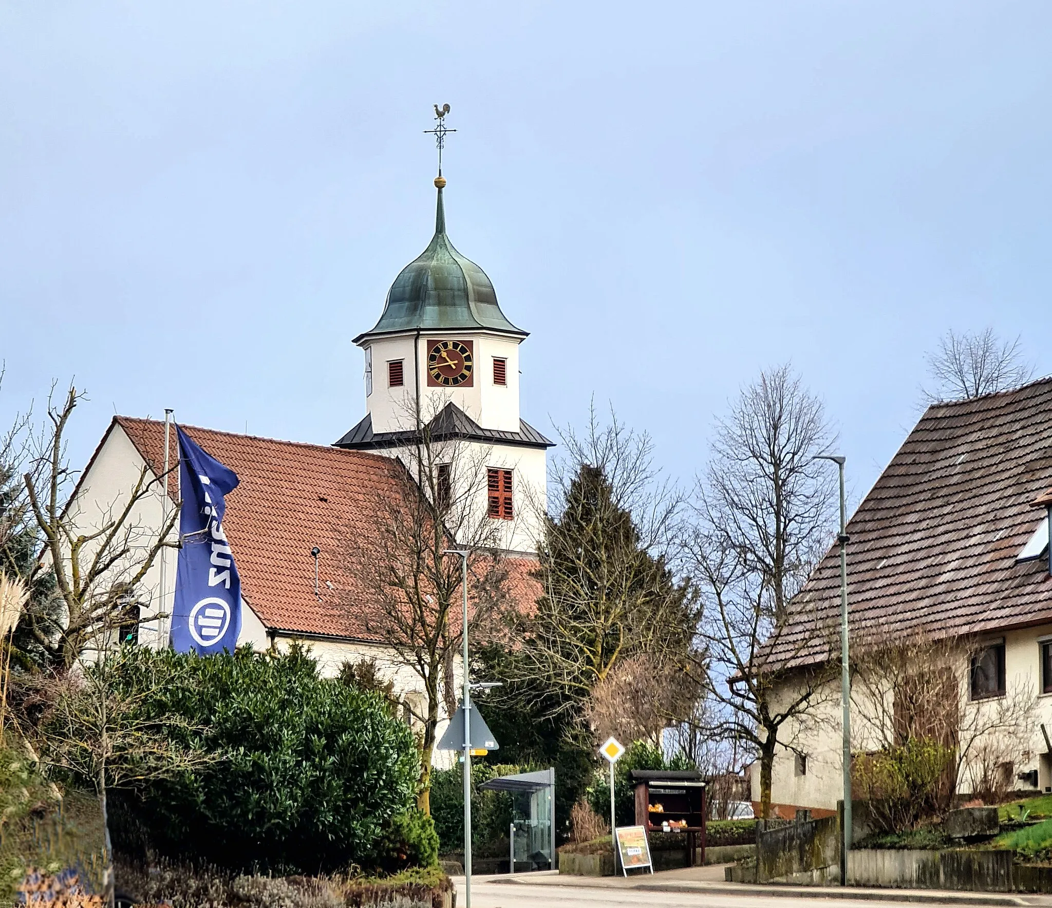
Start: Deggingen Village centerBad Ditzenbach: Experience the beauty of the Swabian Alps and conquer legendary climbs in Bad Ditzenbach.
Bad Ditzenbach is a locality situated in Stuttgart, Germany. As a road and gravel cyclist, Bad Ditzenbach provides a range of cycling opportunities. The region offers scenic routes that pass through picturesque villages and countryside. Cyclists can also explore the nearby Swabian Alps, which features several well-known climbs, such as Grüble and Dettingen. With its beautiful landscapes and challenging terrain, Bad Ditzenbach is an ideal destination for cyclists looking for a mix of natural beauty and thrilling rides.8 km
8 km
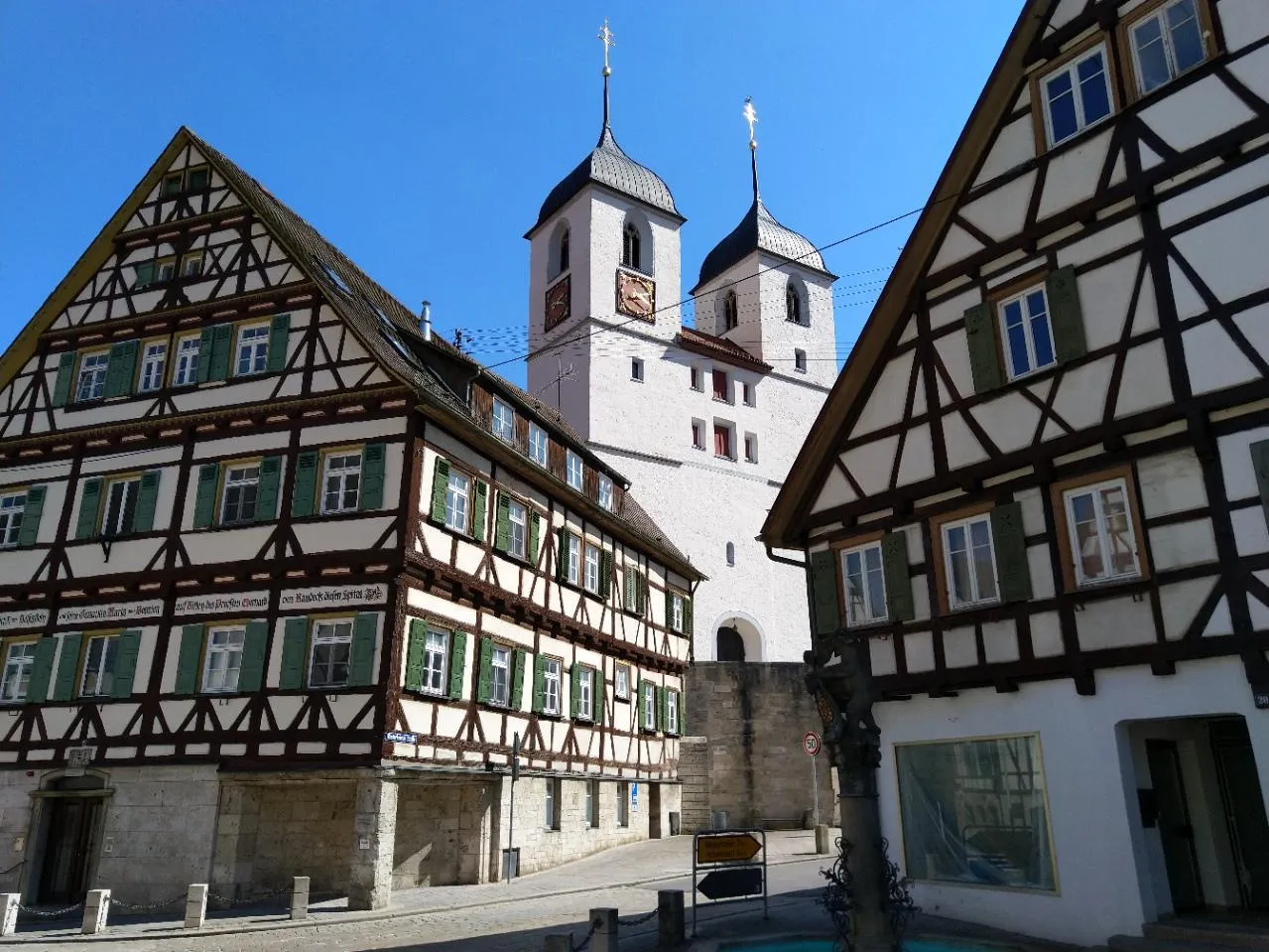
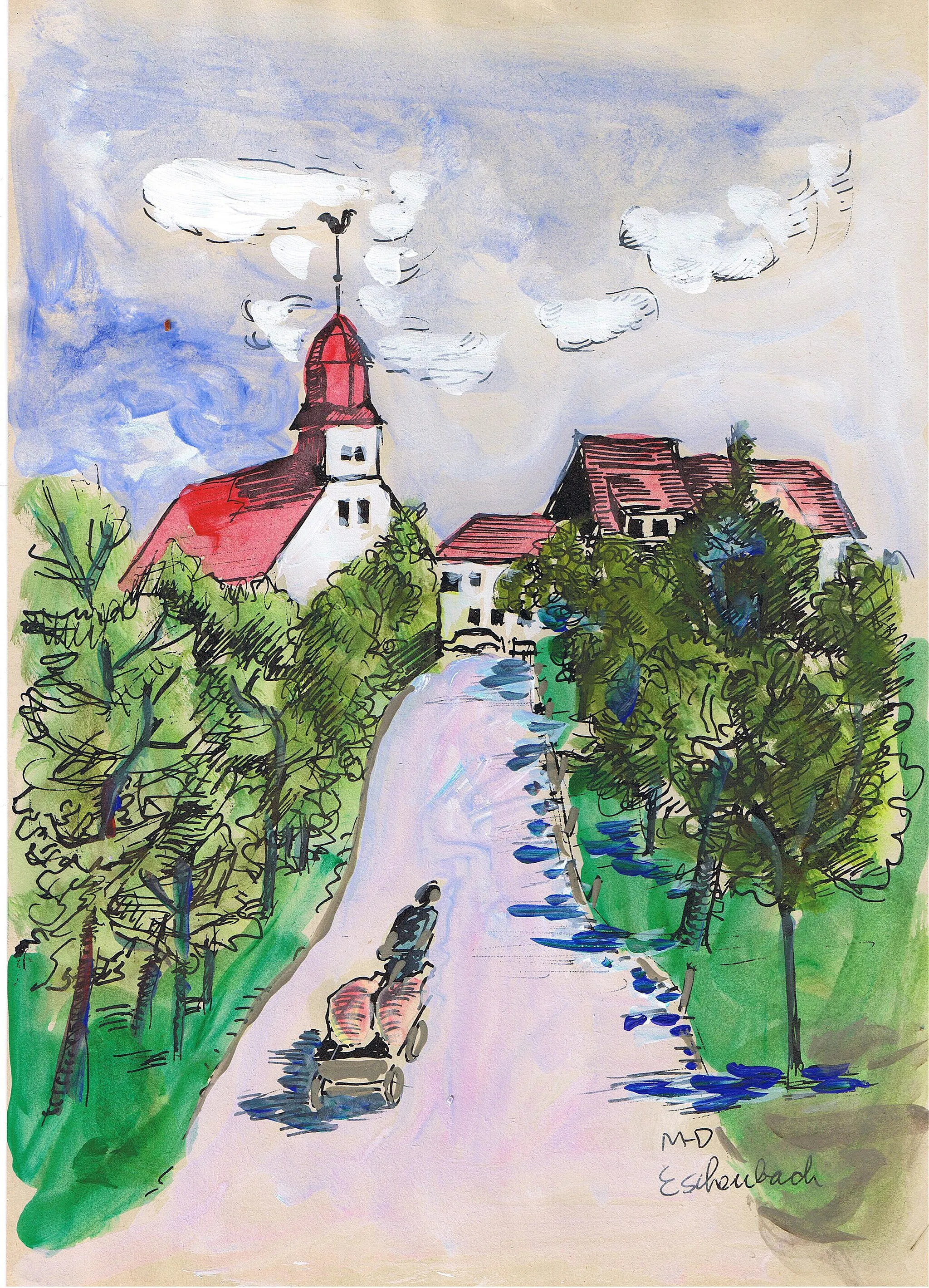
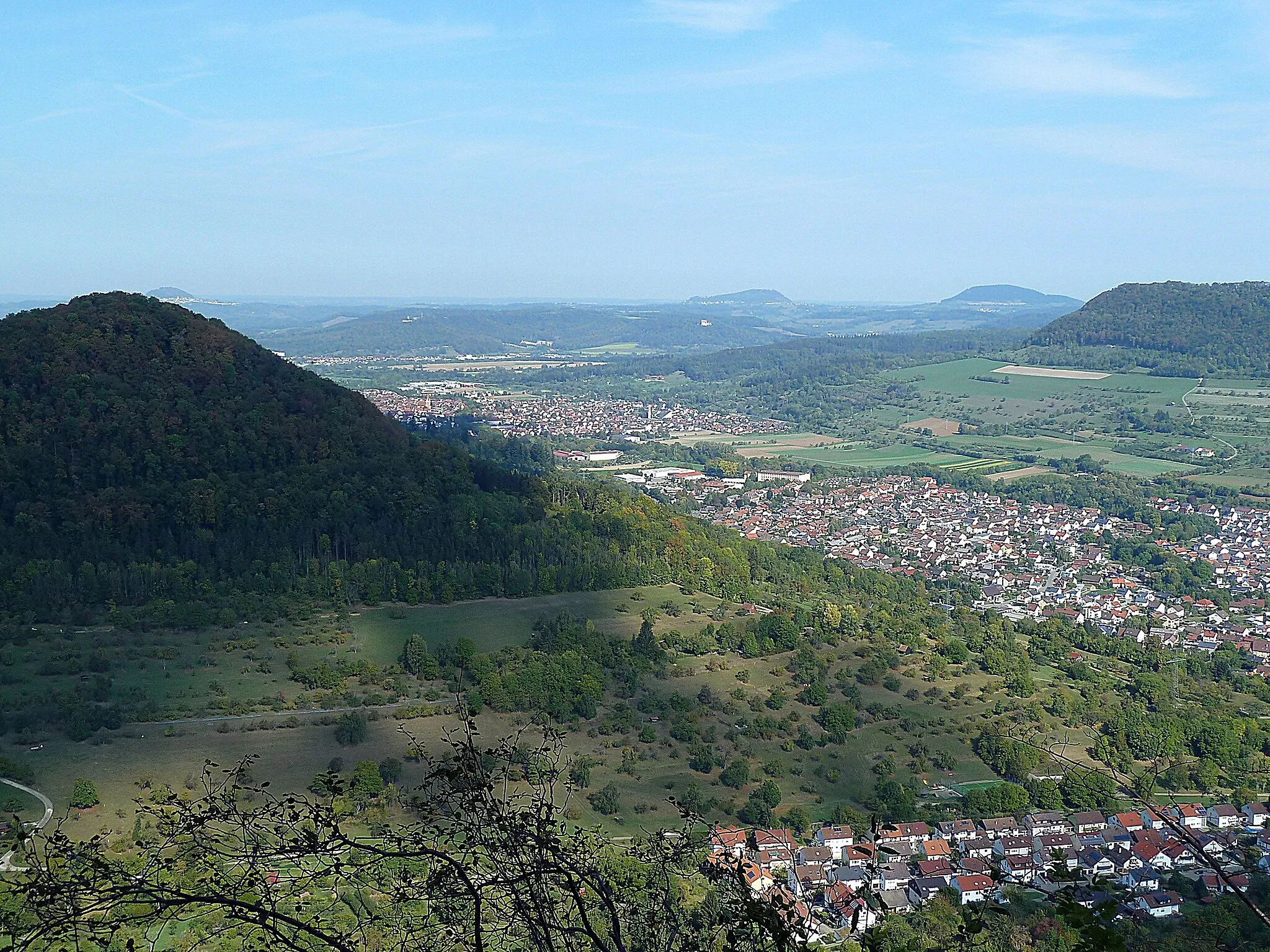
HohenstadtVillageVisit Hohenstadt and enjoy its idyllic landscapes, featuring rolling hills, picturesque meadows, and charming timber-framed houses.
10 km
10 km
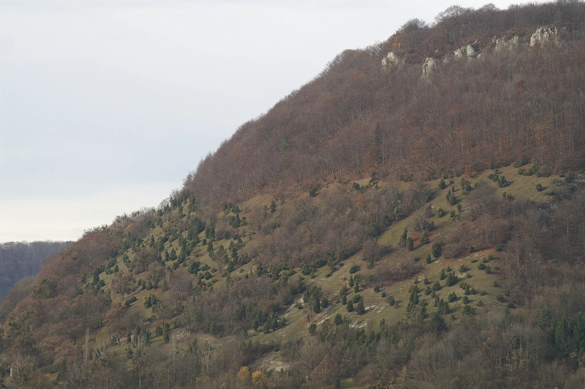
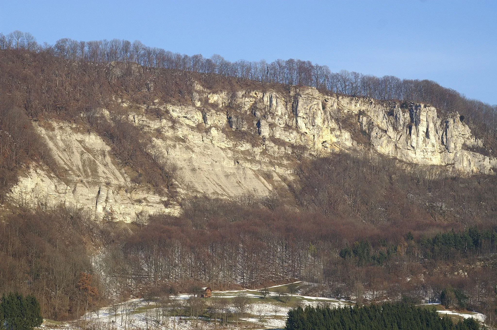
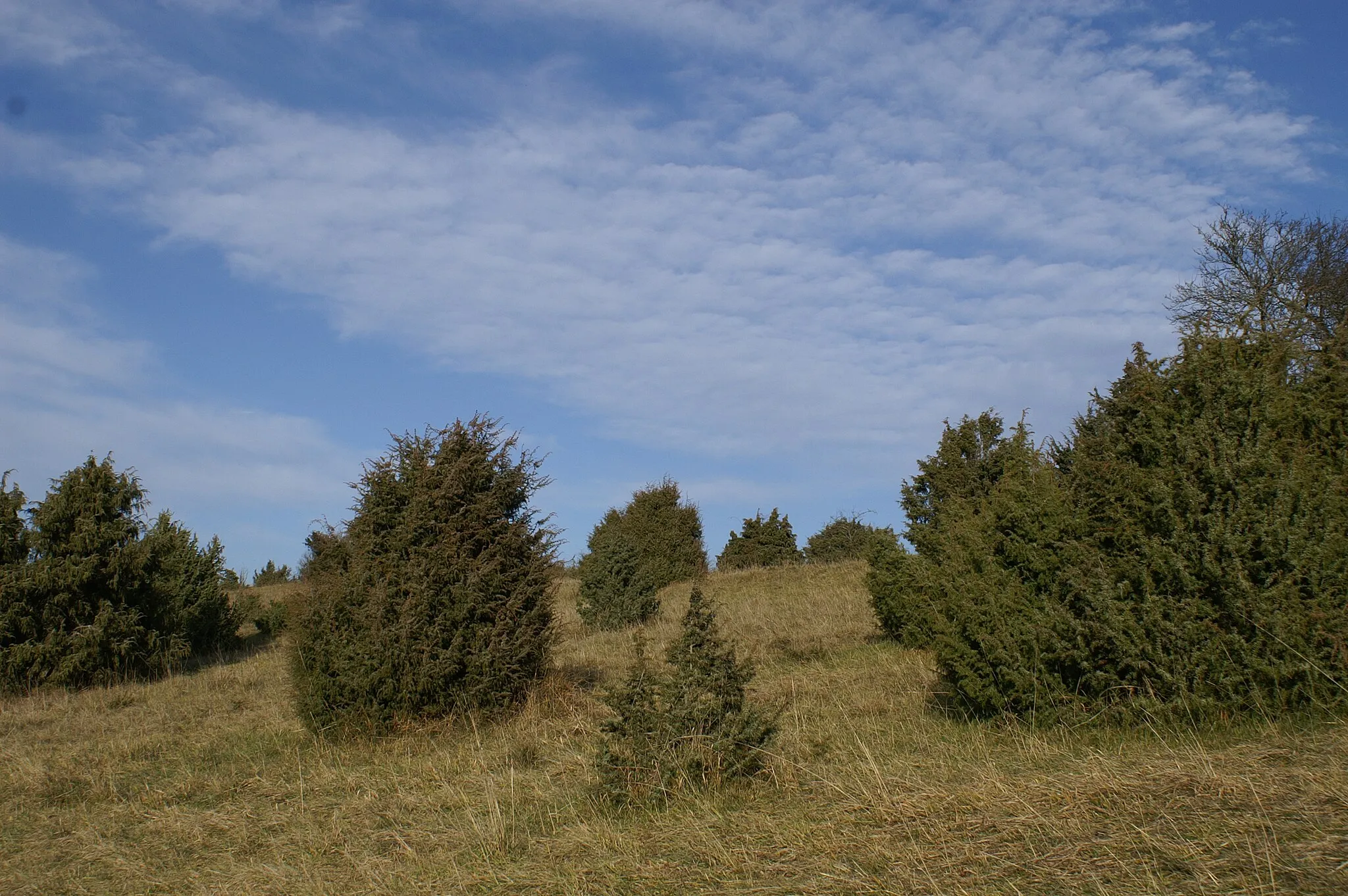
Europäische Wasserscheide785 mMountain PassDiscover the European Watershed, a unique natural phenomenon where the waters of the Neckar and Danube rivers divide.
22 km
22 km
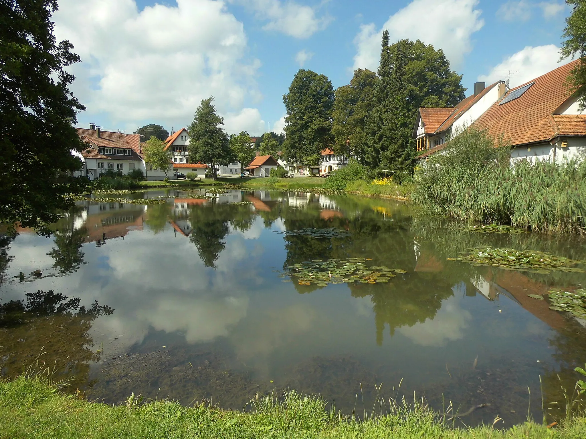
ZainingenVillageCycle through Zainingen and appreciate its peaceful countryside and charming rural atmosphere.
28 km
28 km
Wasserscheide Neckar/Donau815 mMountain PassPass through the Wasserscheide Neckar/Donau, a scenic area where the divide between the Neckar and Danube rivers can be observed.
38 km
38 km
Bläsiberg790 mPeakConquer the challenging climb up Bläsiberg and enjoy breathtaking views of the surrounding landscapes.
49 km
49 km
Finish: Deggingen Village centerBad Ditzenbach: Experience the beauty of the Swabian Alps and conquer legendary climbs in Bad Ditzenbach.
Cycling routes from Bad Ditzenbach:
Gravel Route to Bad Ditzenbach and Beyond Scenic Gravel Ride around Bad Ditzenbach Grueling Gravel Challenge from Bad Ditzenbach Bad Ditzenbach Epic Loop Gravel Adventure near Bad Ditzenbach Road Cycling Adventure to Ulm Bad Ditzenbach Gravel Loop Road Adventure from Bad Ditzenbach Bad Ditzenbach Scenic Route Scenic Countryside Ride from Bad Ditzenbach The Swabian Hills and Historic Towns
Cycling routes nearby: