Scenic Gravel Ride around Bad Ditzenbach
A gravel cycling route starting from Bad Ditzenbach
Explore the picturesque landscapes around Bad Ditzenbach on this gravel ride
Map
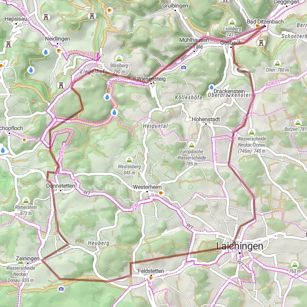
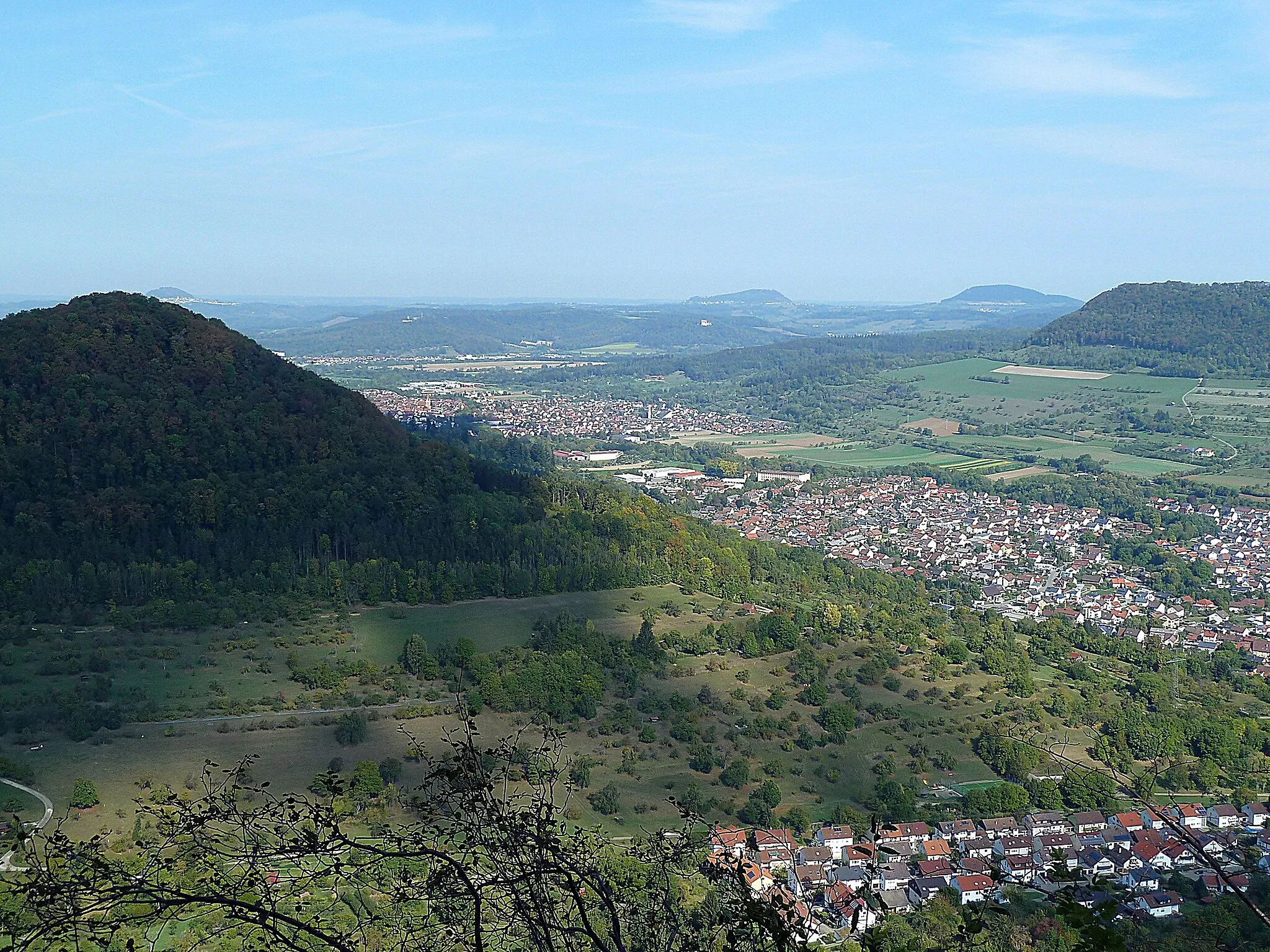
This gravel route offers a scenic adventure around Bad Ditzenbach, covering a distance of 49 kilometers with an ascent of 727 meters. As you ride through the picturesque landscapes, you'll have the opportunity to admire the beautiful natural surroundings. The highlights of this route include Schlossberg at the start, Laichingen at 14 kilometers, Waldgreutturm at 24 kilometers, Donnstetten at 30 kilometers, and Bläsiberg at 40 kilometers. This route provides a mix of gravel paths, forest trails, and captivating views, making it a perfect choice for gravel enthusiasts looking to explore the area.
gravel
49 km
727 m
Tough
Route profile
Highlights on the route
0 km
0 km
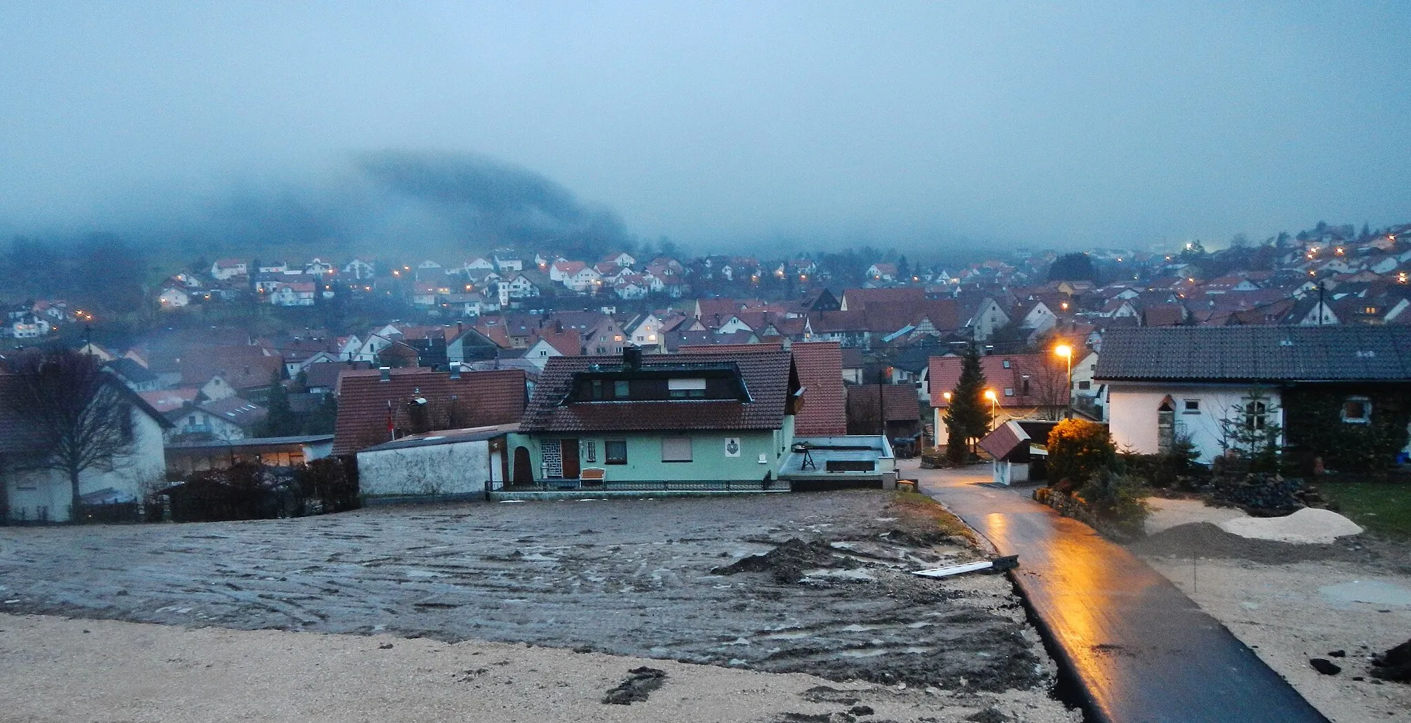
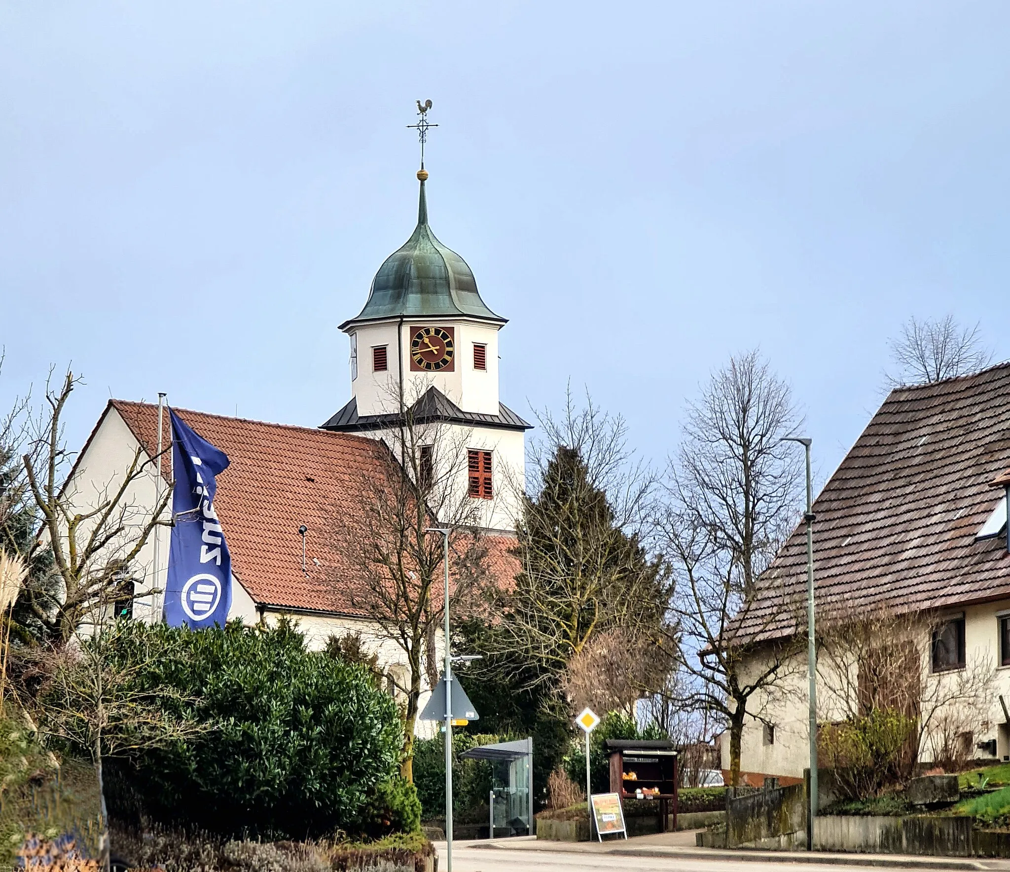
Start: Bad Ditzenbach Village centerBad Ditzenbach: Experience the beauty of the Swabian Alps and conquer legendary climbs in Bad Ditzenbach.
Bad Ditzenbach is a locality situated in Stuttgart, Germany. As a road and gravel cyclist, Bad Ditzenbach provides a range of cycling opportunities. The region offers scenic routes that pass through picturesque villages and countryside. Cyclists can also explore the nearby Swabian Alps, which features several well-known climbs, such as Grüble and Dettingen. With its beautiful landscapes and challenging terrain, Bad Ditzenbach is an ideal destination for cyclists looking for a mix of natural beauty and thrilling rides.0 km
0 km
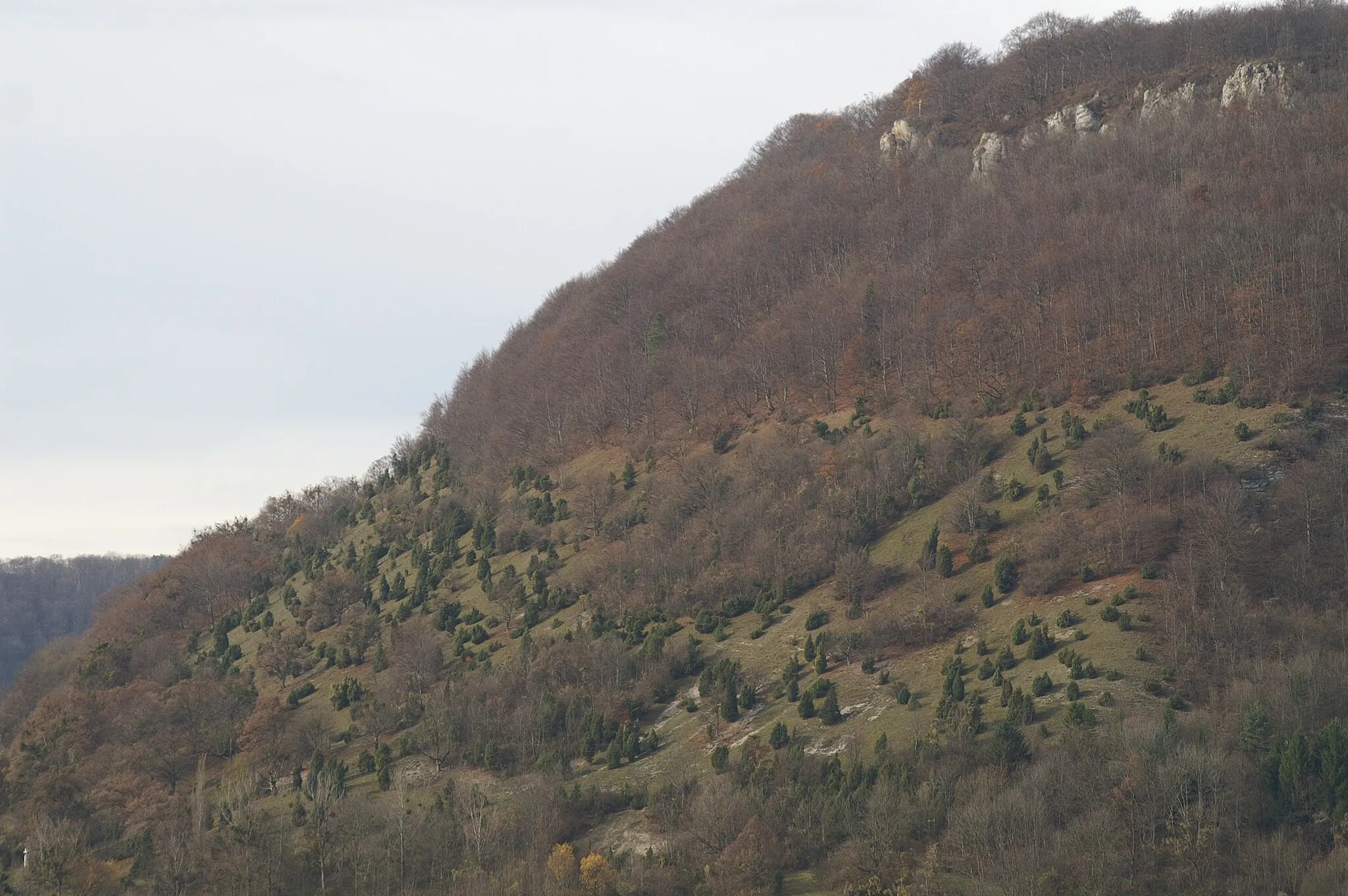
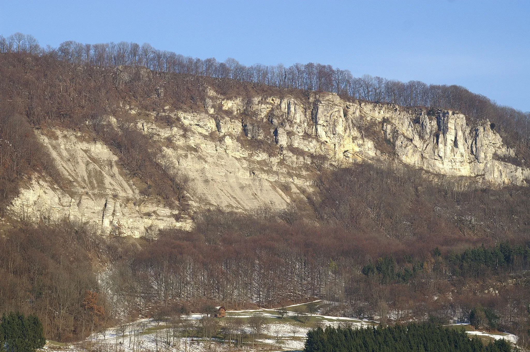
Schlossberg716 mPeakSchlossberg is a hilltop castle ruin offering panoramic views of the surrounding countryside.
14 km
14 km
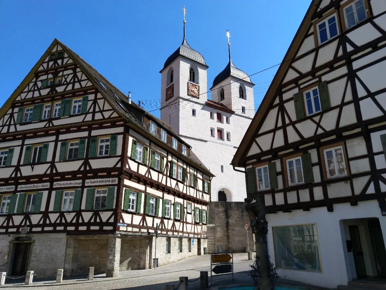
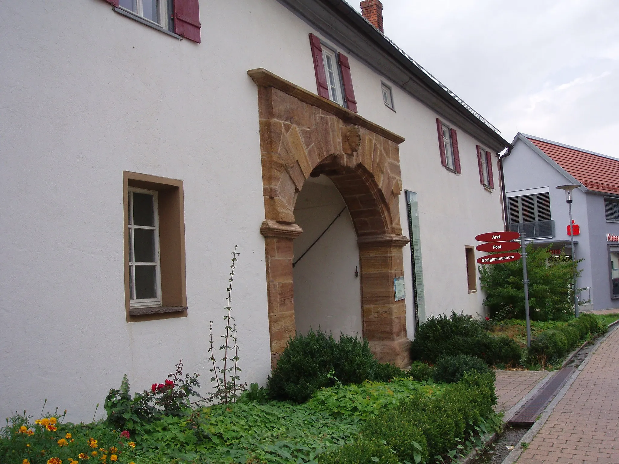
LaichingenTownLaichingen is a small town known for its limestone caves and hiking trails.
24 km
24 km
WaldgreutturmViewpointWaldgreutturm is a wooden observation tower located in a forested area, providing stunning views.
30 km
30 km
DonnstettenVillageDonnstetten is a picturesque village surrounded by forests and rolling hills.
40 km
40 km
Bläsiberg790 mPeakBläsiberg is a popular viewpoint offering breathtaking panoramic views of the region.
49 km
49 km
Finish: Bad Ditzenbach Village centerBad Ditzenbach: Experience the beauty of the Swabian Alps and conquer legendary climbs in Bad Ditzenbach.
Cycling routes from Bad Ditzenbach:
Gravel Route to Bad Ditzenbach and Beyond Scenic Gravel Ride around Bad Ditzenbach Grueling Gravel Challenge from Bad Ditzenbach Bad Ditzenbach Epic Loop Gravel Adventure near Bad Ditzenbach Road Cycling Adventure to Ulm Bad Ditzenbach Gravel Loop Road Adventure from Bad Ditzenbach Bad Ditzenbach Scenic Route Scenic Countryside Ride from Bad Ditzenbach The Swabian Hills and Historic Towns
Cycling routes nearby: