The Swabian Hills and Historic Towns
A road cycling route starting from Bad Ditzenbach
Experience the beauty of the Swabian Alb region and visit historic towns along the way
Map
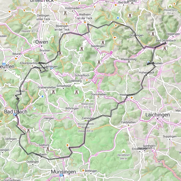
Embark on a cycling adventure through the picturesque Swabian Hills and explore multiple historic towns along the route. With a total distance of 89 km and an ascent of 1649 meters, this road cycling route offers a challenging yet rewarding experience for well-trained amateurs. Marvel at the stunning landscapes, charming villages, and cultural landmarks as you pedal through the heart of the Swabian Alb.
road
89 km
1649 m
Tough
Route profile
Highlights on the route
0 km
0 km
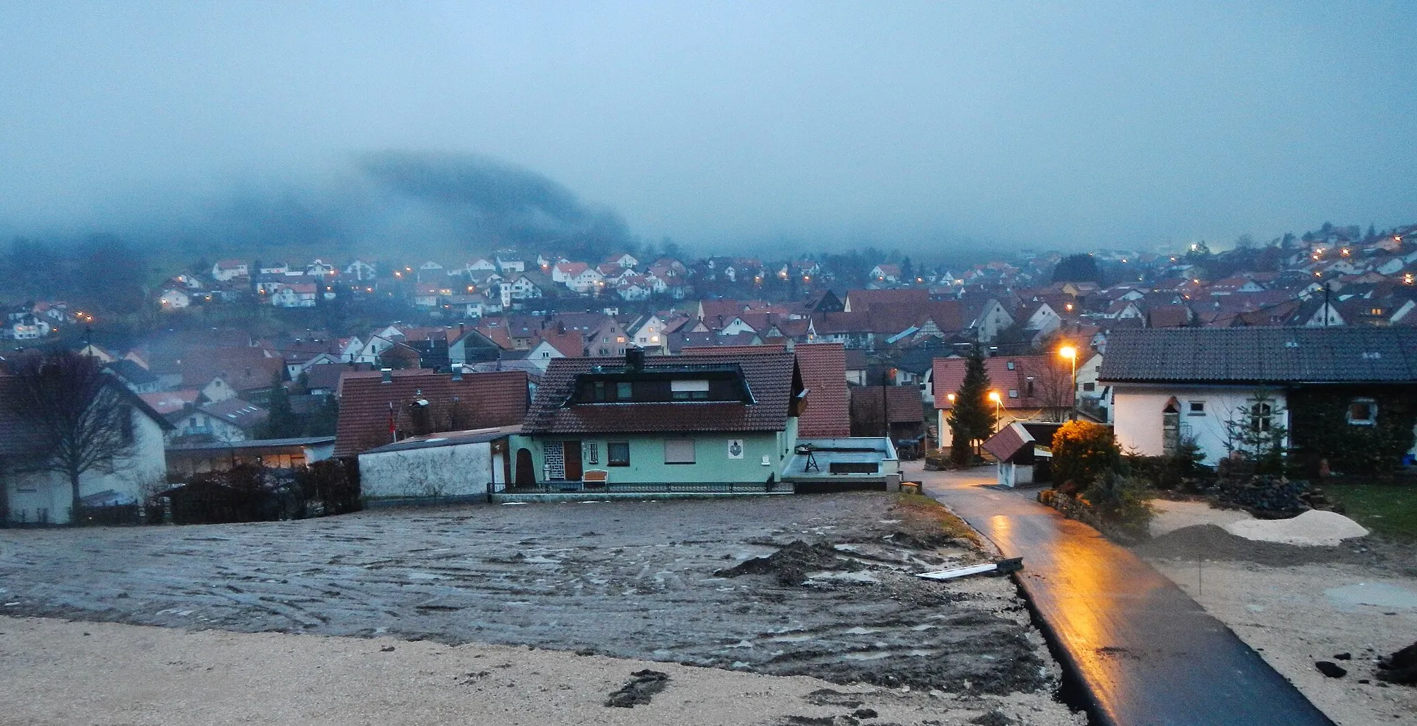
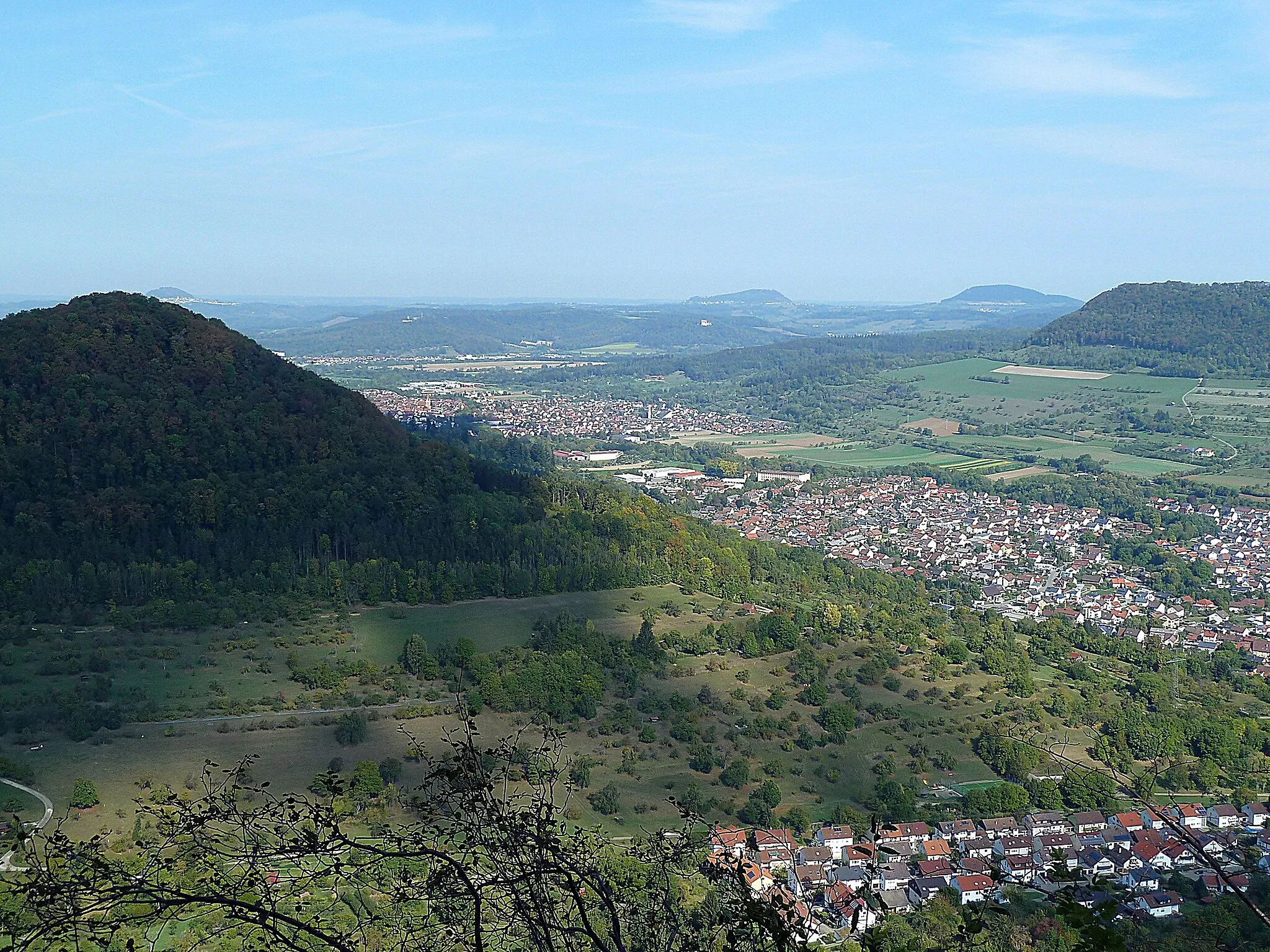
Start: Bad Ditzenbach Village centerBad Ditzenbach: Experience the beauty of the Swabian Alps and conquer legendary climbs in Bad Ditzenbach.
Bad Ditzenbach is a locality situated in Stuttgart, Germany. As a road and gravel cyclist, Bad Ditzenbach provides a range of cycling opportunities. The region offers scenic routes that pass through picturesque villages and countryside. Cyclists can also explore the nearby Swabian Alps, which features several well-known climbs, such as Grüble and Dettingen. With its beautiful landscapes and challenging terrain, Bad Ditzenbach is an ideal destination for cyclists looking for a mix of natural beauty and thrilling rides.9 km
9 km
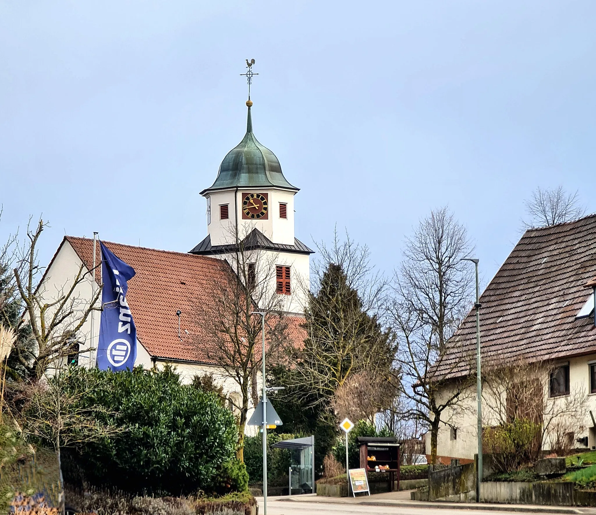
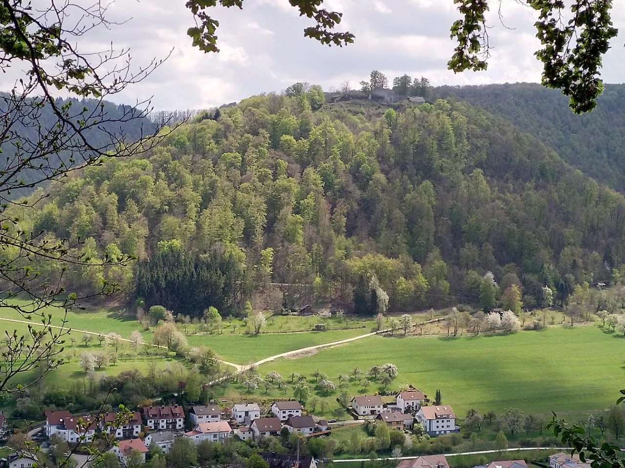
HohenstadtVillageStop by Hohenstadt, a quaint village known for its medieval castle ruins and panoramic views of the surrounding countryside.
10 km
10 km
Europäische Wasserscheide785 mMountain PassVisit the Europäische Wasserscheide, the European Watershed, where waterways split and flow towards different seas, symbolizing the continental divide.
31 km
31 km
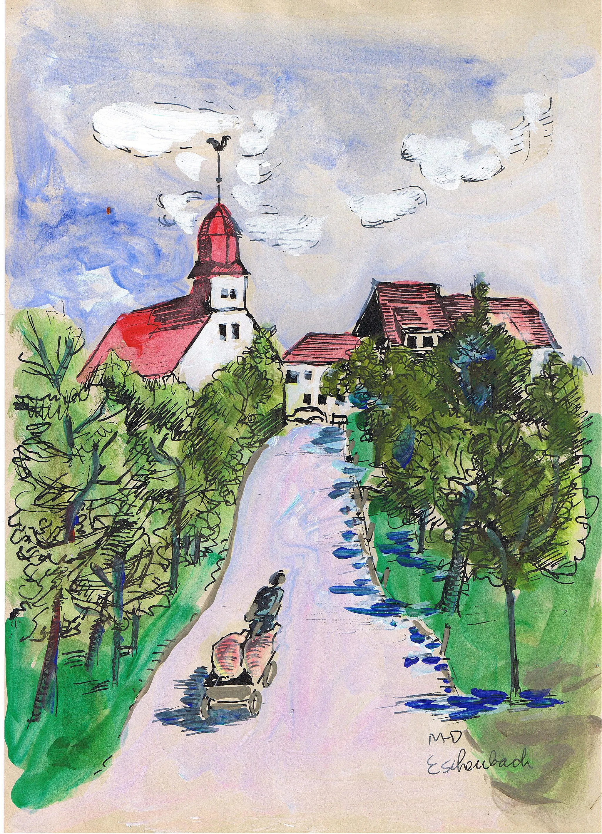
TrailfingenVillageDiscover the charming town of Trailfingen which is famous for its traditional architecture and rich cultural heritage.
45 km
45 km
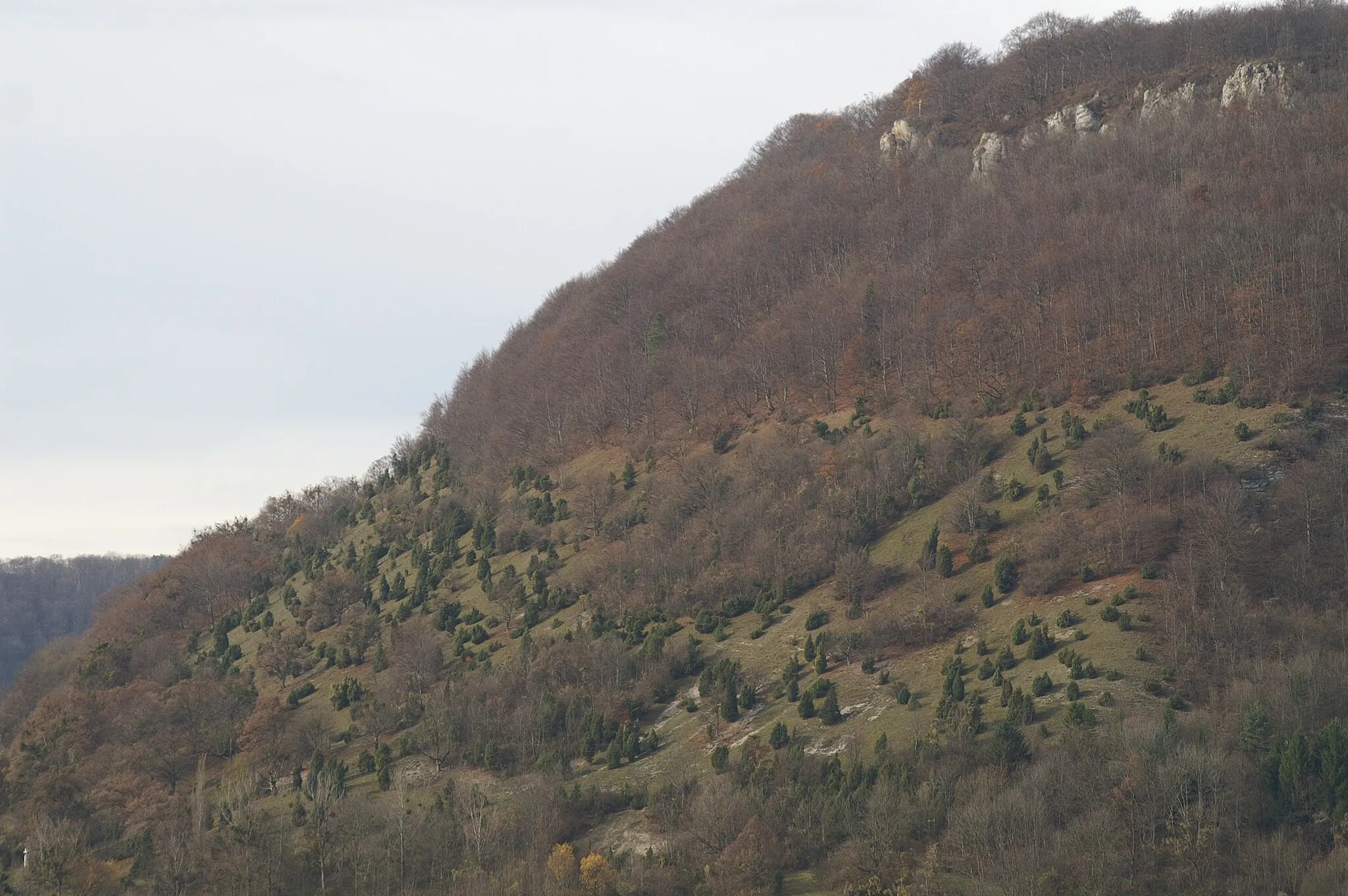
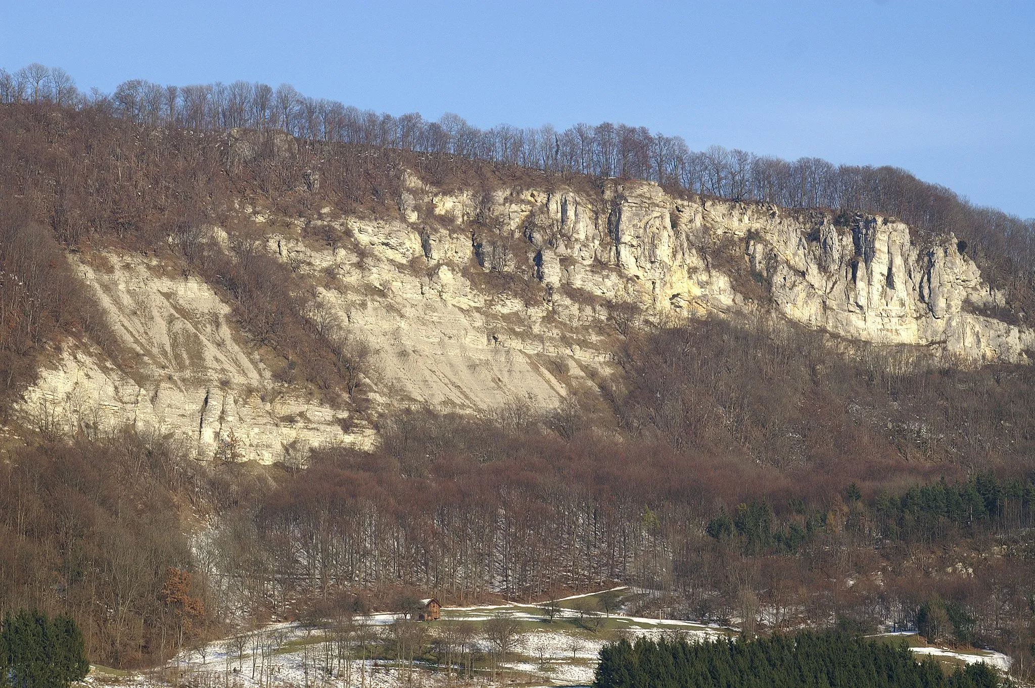
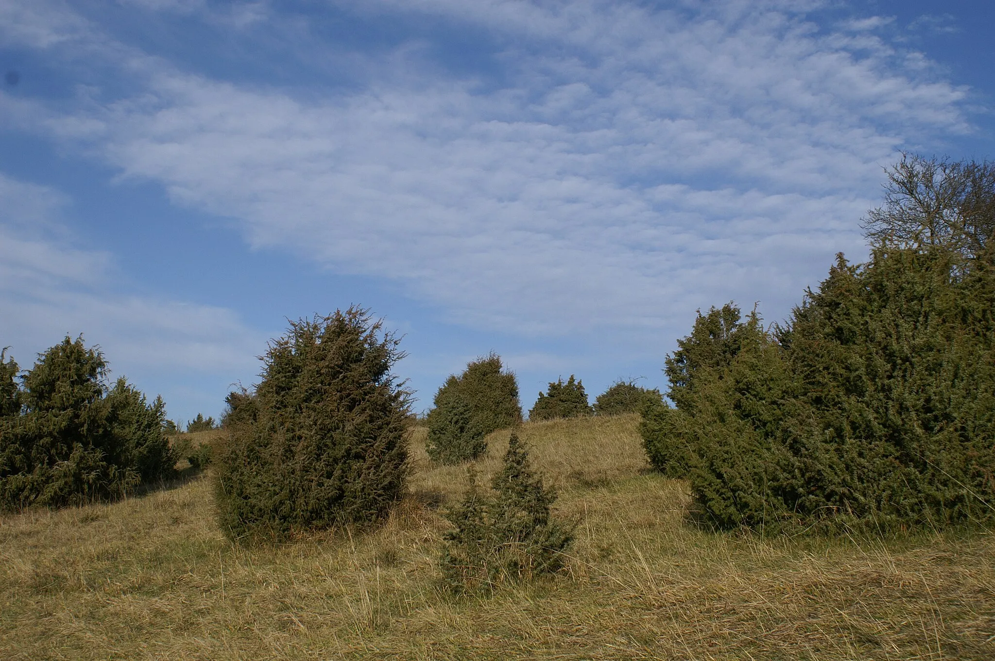
Östlicher HannerfelsViewpointAdmire the Östlicher Hannerfels, a natural rock formation known for its unique geological features and breathtaking views.
46 km
46 km
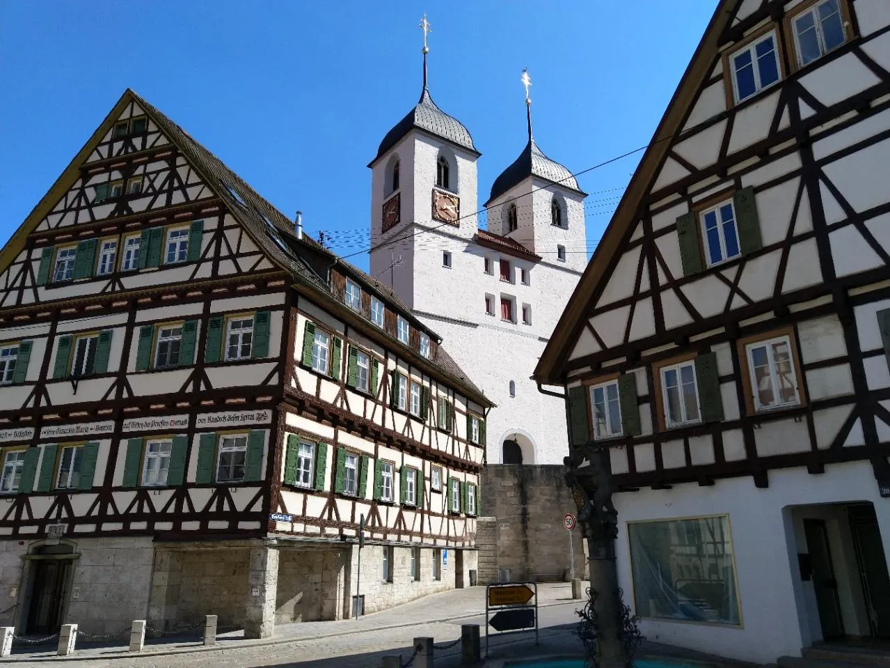
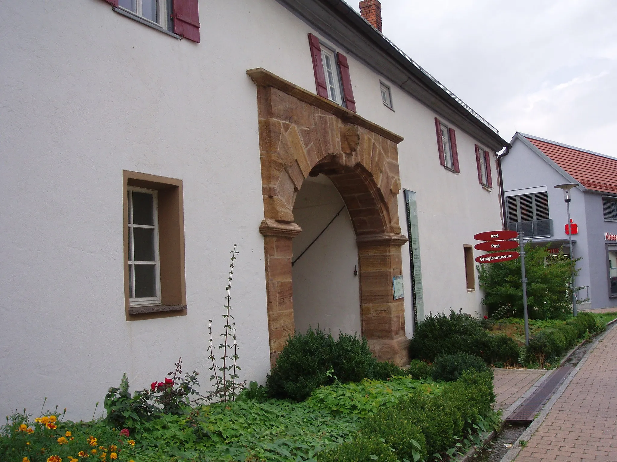
Bad UrachTownExplore Bad Urach, a historic spa town renowned for its beautiful half-timbered houses, thermal baths, and picturesque nature reserves.
56 km
56 km
ErkenbrechtsweilerVillageImmerse yourself in the idyllic atmosphere of Erkenbrechtsweiler, a charming village surrounded by rolling hills and enchanting forests.
65 km
65 km
Sattelbogen615 mMountain PassTake a break at Sattelbogen, a scenic spot offering panoramic views of the Swabian Alb's stunning landscapes and vineyards.
73 km
73 km
Weilheim an der TeckVillageVisit Weilheim an der Teck, a historic town with well-preserved medieval architecture, including a beautiful castle and picturesque streets.
77 km
77 km
Boßler803 mPeak ViewpointConquer the challenging climb of Boßler, a legendary spot in the region known for its steep and winding roads, providing cyclists with a thrilling experience.
88 km
88 km
Galgenberg714 mPeakClimb the Galgenberg, a monument-rich hill with commanding views of the Swabian Alb, showcasing the region's natural beauty and historical landmarks.
89 km
89 km
Finish: Bad Ditzenbach Village centerBad Ditzenbach: Experience the beauty of the Swabian Alps and conquer legendary climbs in Bad Ditzenbach.
Cycling routes from Bad Ditzenbach:
Gravel Route to Bad Ditzenbach and Beyond Scenic Gravel Ride around Bad Ditzenbach Grueling Gravel Challenge from Bad Ditzenbach Bad Ditzenbach Epic Loop Gravel Adventure near Bad Ditzenbach Road Cycling Adventure to Ulm Bad Ditzenbach Gravel Loop Road Adventure from Bad Ditzenbach Bad Ditzenbach Scenic Route Scenic Countryside Ride from Bad Ditzenbach The Swabian Hills and Historic Towns
Cycling routes nearby: