Tranquility and Picturesque Routes in Tübingen
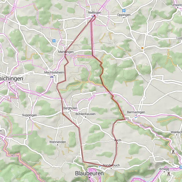
Cycling routes from Nellingen
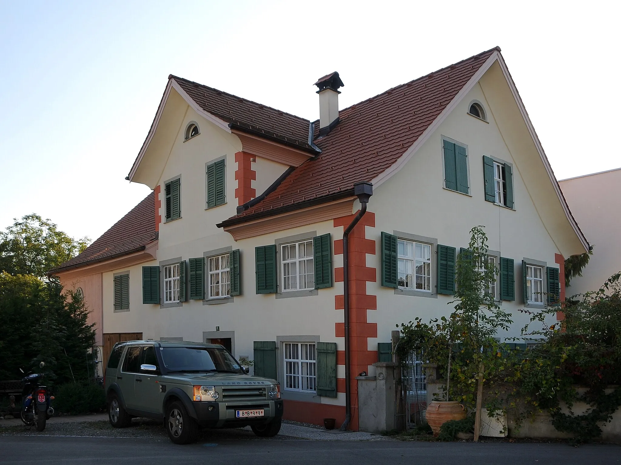
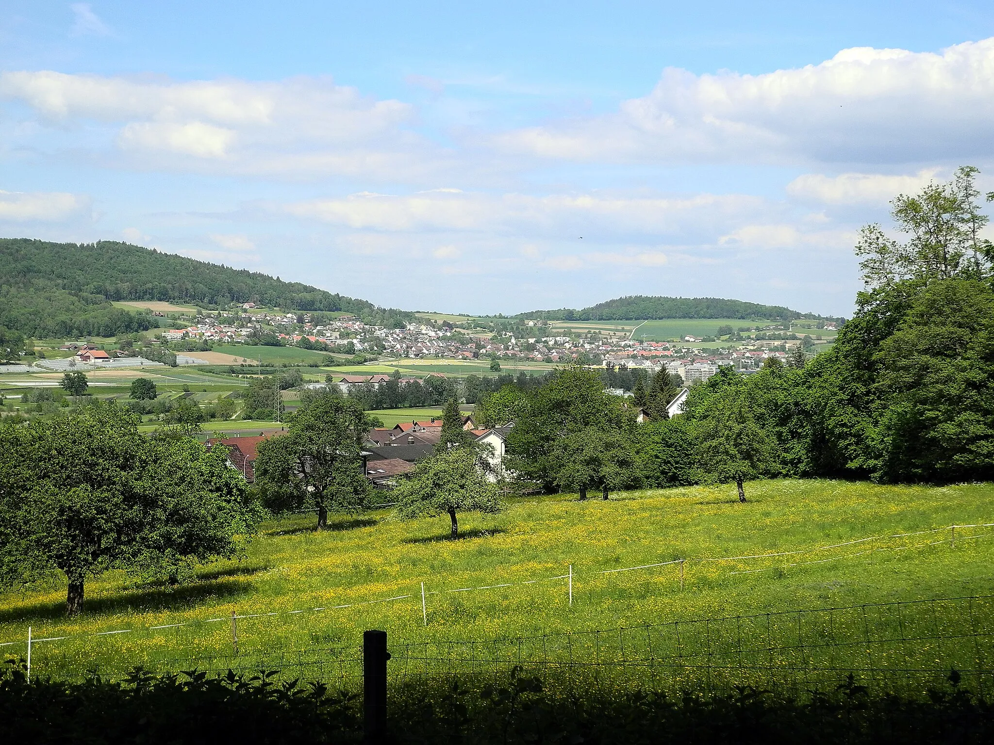
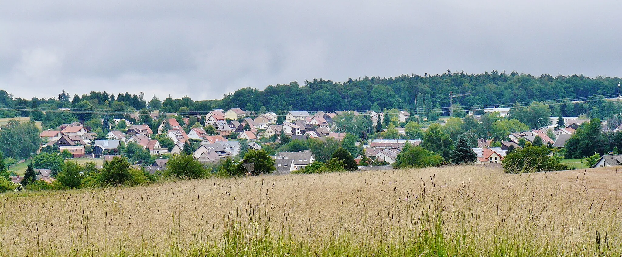
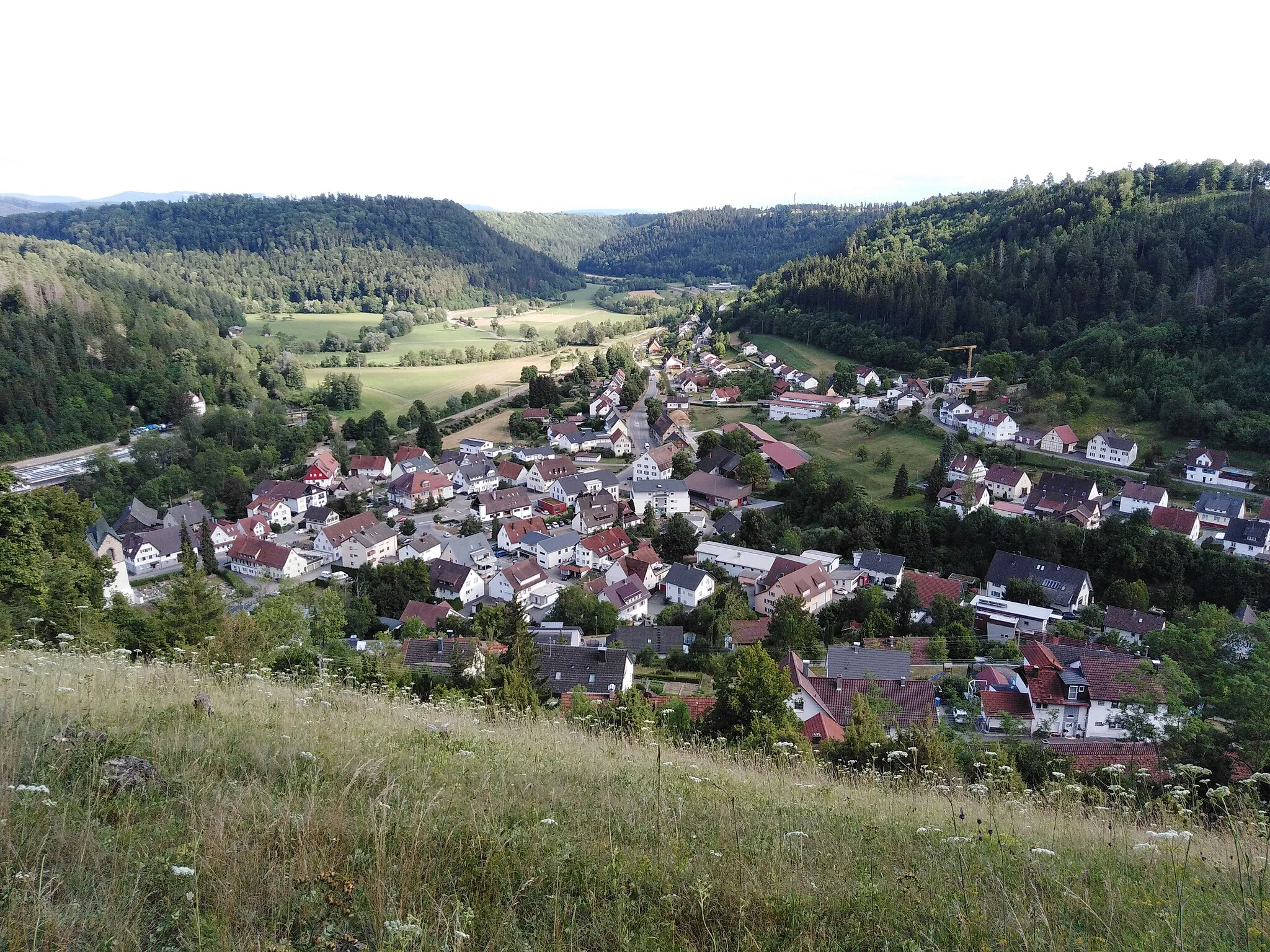
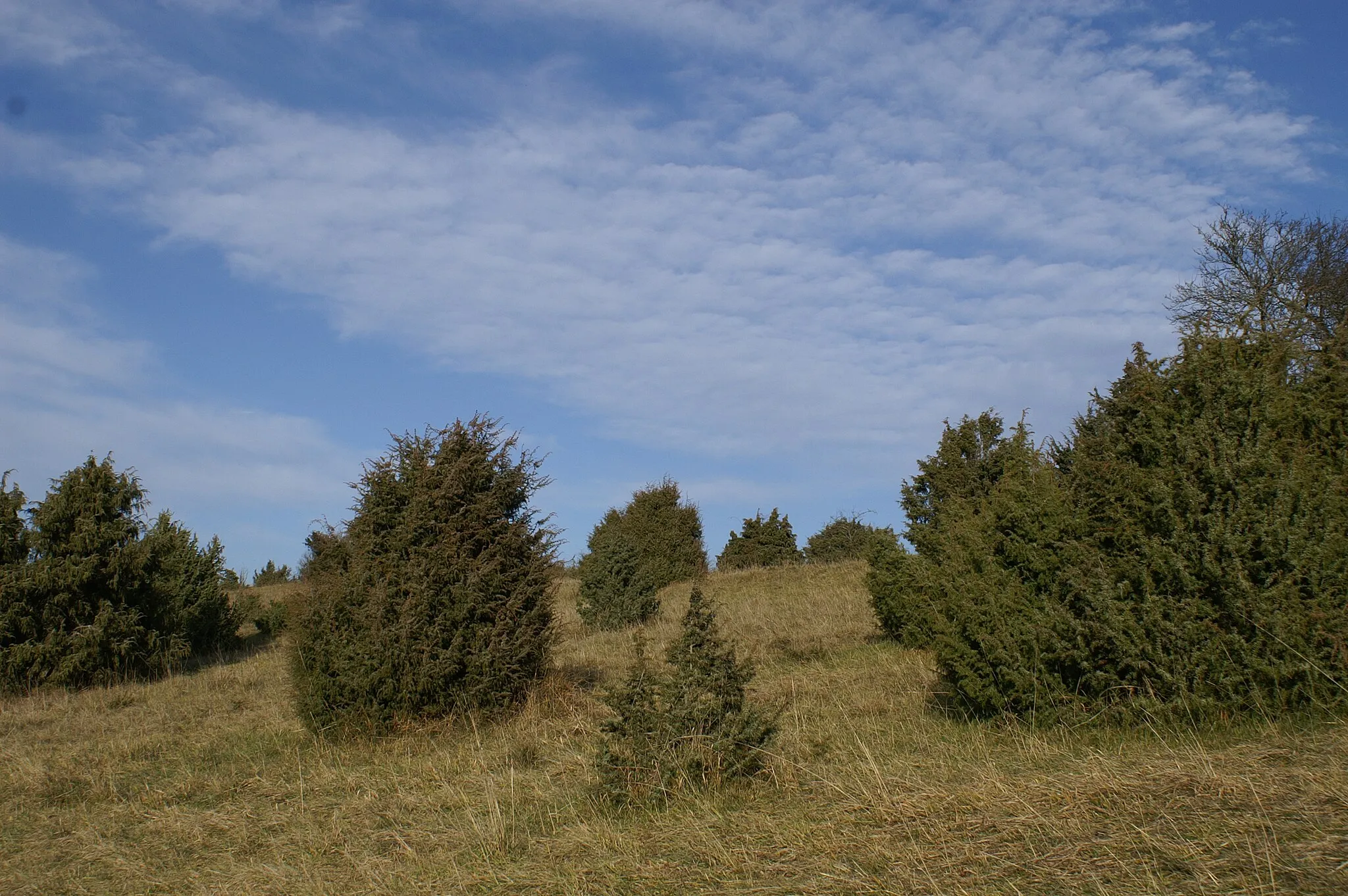
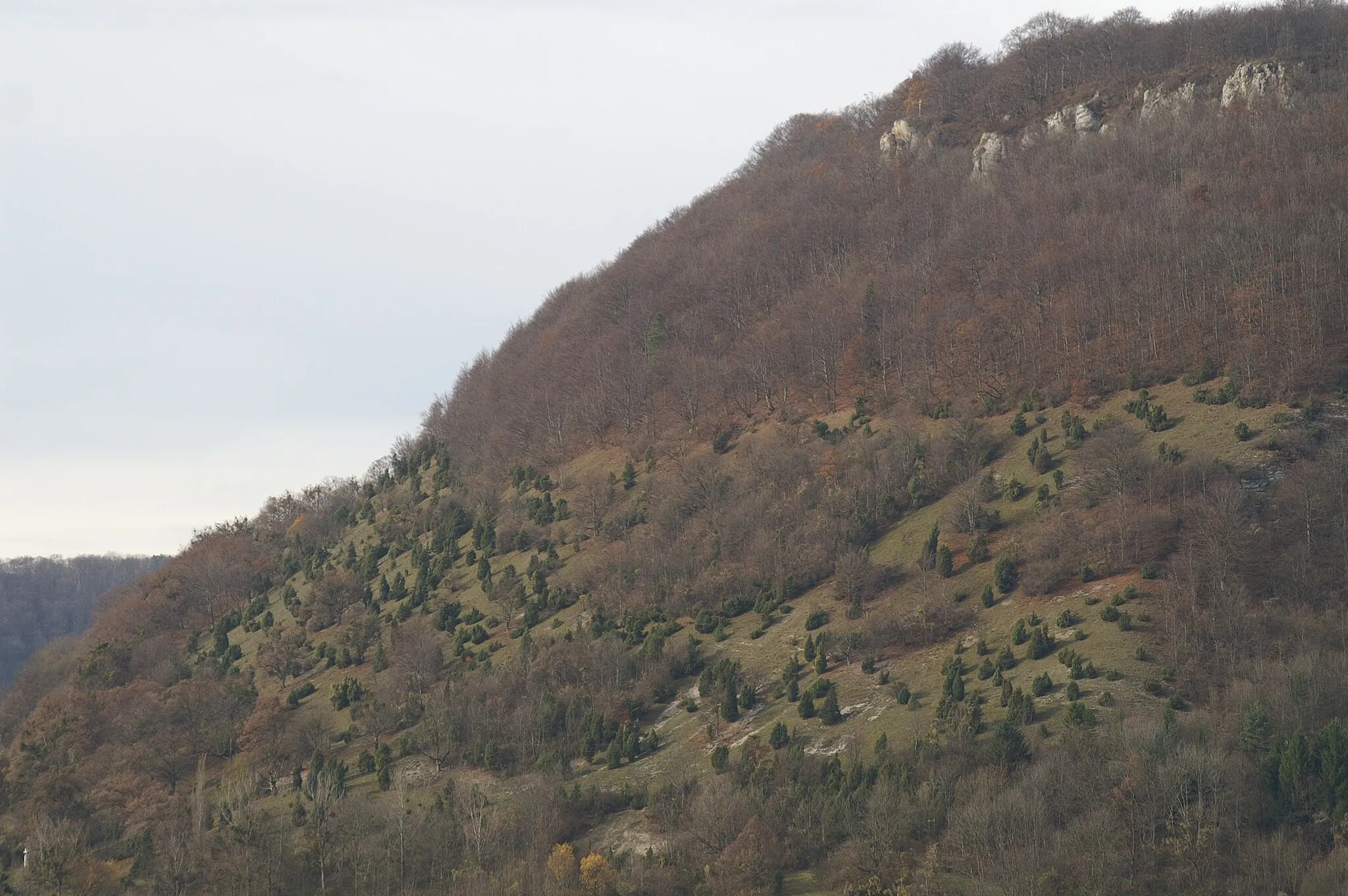
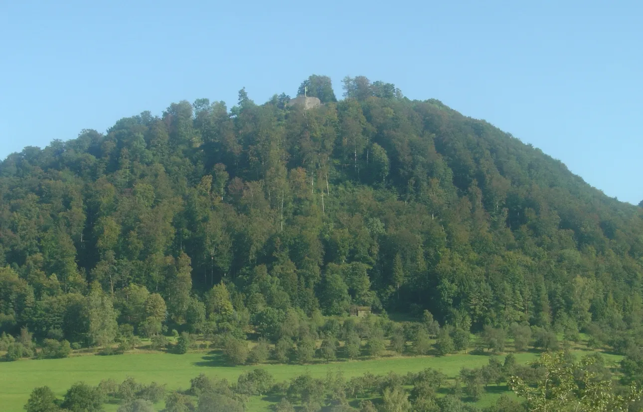
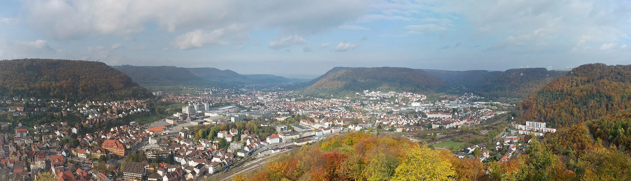
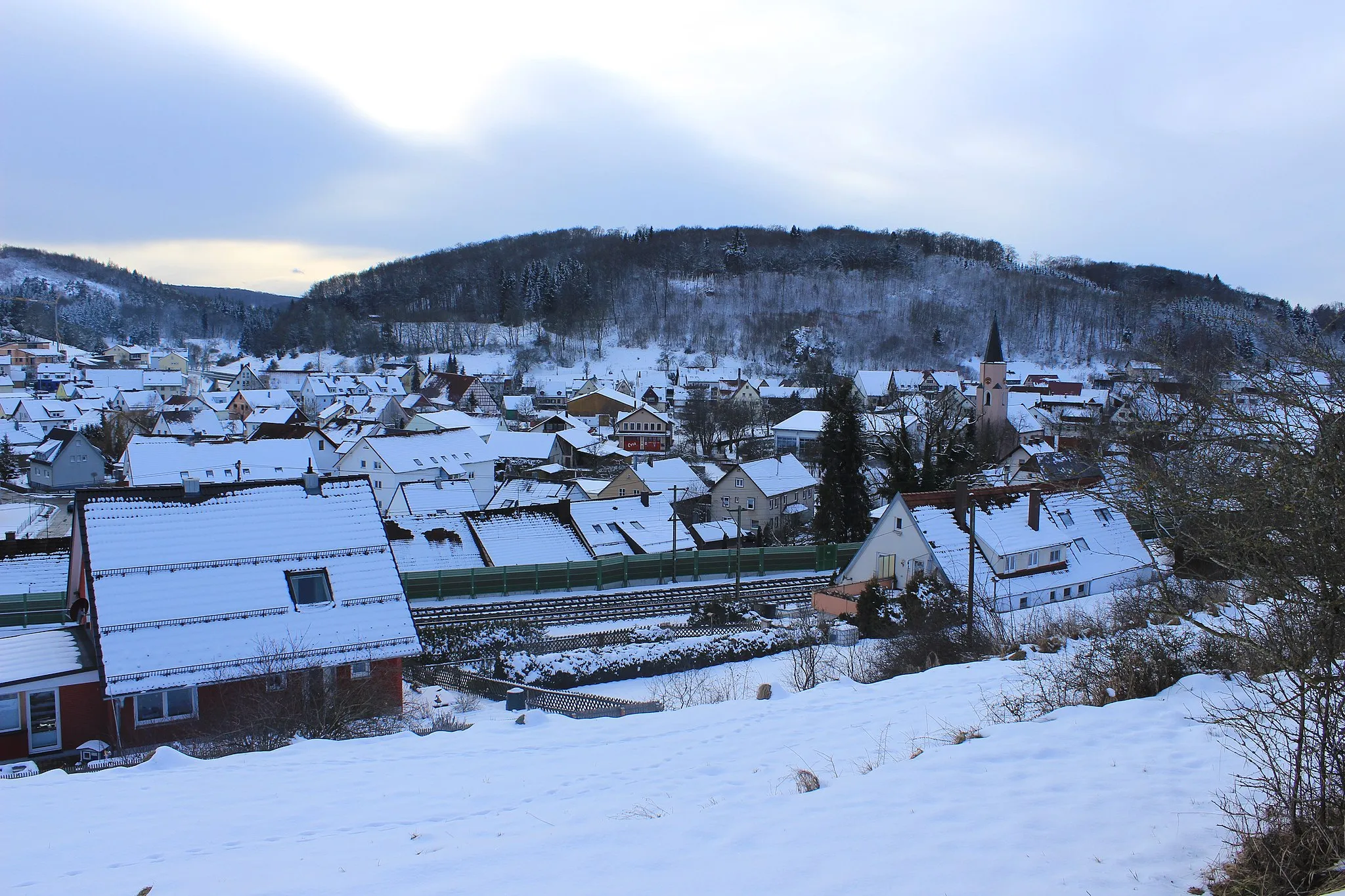
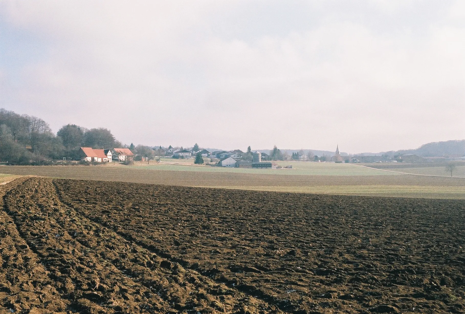
Nellingen is a locality situated in the Tübingen region of Germany. It offers cyclists a peaceful and scenic environment to explore. The landscapes surrounding Nellingen are characterized by rolling hills and picturesque countryside, providing road and gravel cyclists with a diverse range of routes. While there are no specific famous cycling spots or well-known climbs in Nellingen, the area is suitable for recreational cycling and small group rides. Overall, Nellingen provides a pleasant and enjoyable cycling experience for all levels of cyclists.
The Hidden Gems
Uncover the beauty of osra Hoimat on this captivating gravel route
Experience the magic of osra Hoimat (our homeland) on this 37 km gravel route. With a moderate ascent of 401 meters, this route is perfect for riders looking for a picturesque adventure. As you pedal through quaint villages and rolling hills, you'll be enchanted by the awe-inspiring landscapes and the warmth of the locals.
Discover the hidden gems of Rhein-Donau watershed on this exciting gravel route
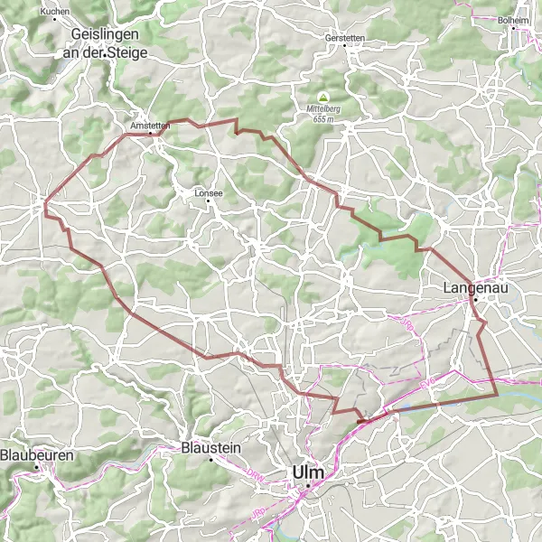
Embark on a thrilling gravel adventure as you traverse the scenic Rhein-Donau watershed. This 77 km route takes you through stunning landscapes and picturesque towns, with a total ascent of 718 meters. The route is suitable for gravel bikes, allowing you to explore off the beaten path and soak in the natural beauty of the region.
Embark on an exciting gravel adventure with stunning views
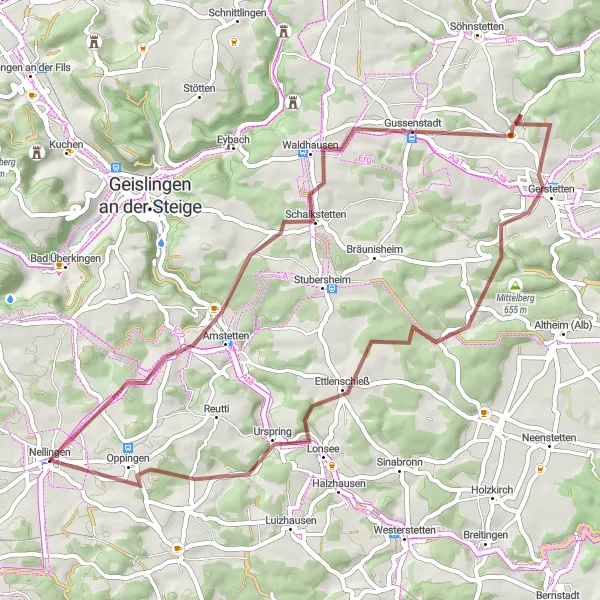
Get ready for an exhilarating gravel cycling experience with this 54 km route near Nellingen. With an ascent of 809 meters, this ride offers a moderate challenge for gravel enthusiasts. Enjoy scenic countryside views as you pedal through Amstetten-Dorf, located 6 km into your journey. Don't miss Wasserscheide Rhein-Donau at 7 km for panoramic vistas. Traverse through Gussenstadt and experience its cultural heritage. For more breathtaking views, make a detour to Galgenberg at 27 km. As you approach the end of your ride, visit Hägelesberg at 45 km, a spot that offers stunning views of the surrounding landscapes.
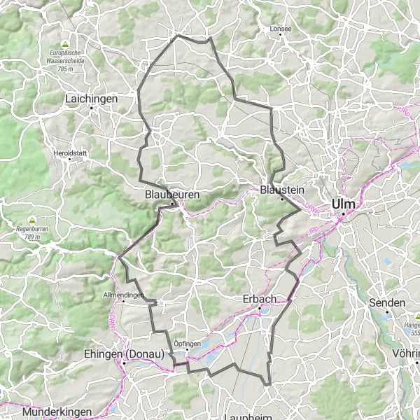
The Roth Valley Loop
Embrace the beauty of the Roth Valley on this memorable road cycling route
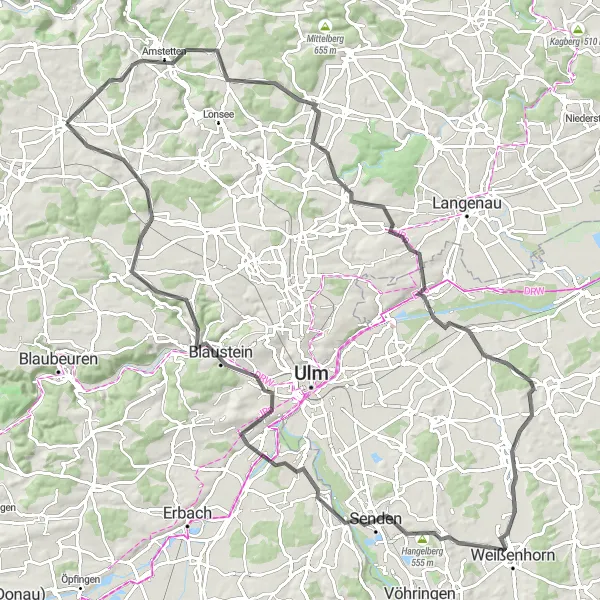
Discover the scenic beauty of the Roth Valley with this 108 km road cycling route near Nellingen. With a challenging ascent of 922 meters, this ride is perfect for experienced cyclists looking for a thrilling adventure. Start your journey by enjoying panoramic views at Wasserscheide Rhein-Donau (distance: 8 km). At 14 km, make a stop at Ettlenschieß, a hidden gem with fascinating historical sites. Take a breather at Holzkirch (distance: 22 km) and learn about its interesting cultural heritage. As you continue, indulge in the stunning vistas offered by Alpenblick mit Infotafel (distance: 35 km) and Pfaffenhofen an der Roth (distance: 52 km). Challenge yourself on a climb to Hangelberg (distance: 63 km) and be rewarded with incredible views. Finally, the charming Nellingen Rathaus awaits you at the end of this epic journey.
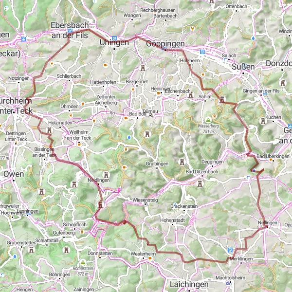
Embark on an adventure through the scenic Teck Plateau
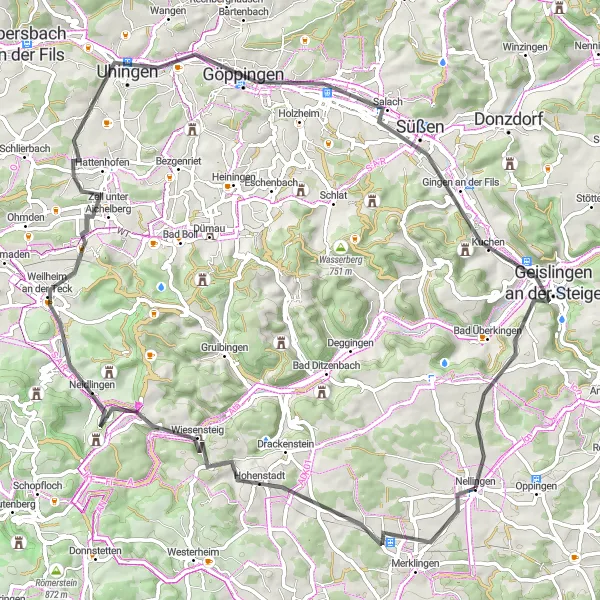
Get ready for an exciting road cycling adventure on this 78 km route near Nellingen. With a challenging ascent of 962 meters, this ride offers a thrilling challenge for experienced cyclists. Begin your journey in the picturesque village of Hohenstadt (distance: 12 km) and marvel at its untouched natural beauty. Enjoy panoramic views from the top of Lämmerbuckel (distance: 15 km) before reaching the stunning landscapes of Butzenberg (distance: 26 km). Visit the charming town of Weilheim an der Teck (distance: 30 km) and explore its rich history. Continue your adventure to Strut (distance: 53 km) and take a break to admire its breathtaking scenery. Discover the captivating town of Eislingen/Fils (distance: 54 km) and its architectural gems. Finally, soak in the beauty of Gingen and Kahlenstein (both at distance: 61 km), before concluding your ride at Nellingen Rathaus.
Unleash your passion for road cycling on this epic journey through stunning landscapes
Embark on a road cycling adventure across 84 km of diverse terrain. With an ascent of 847 meters, this route will challenge and exhilarate experienced cyclists. Marvel at the scenic beauty of the region as you ride through charming towns and iconic landmarks, immersing yourself in the rich history and culture along the way.
Gravel Escapade
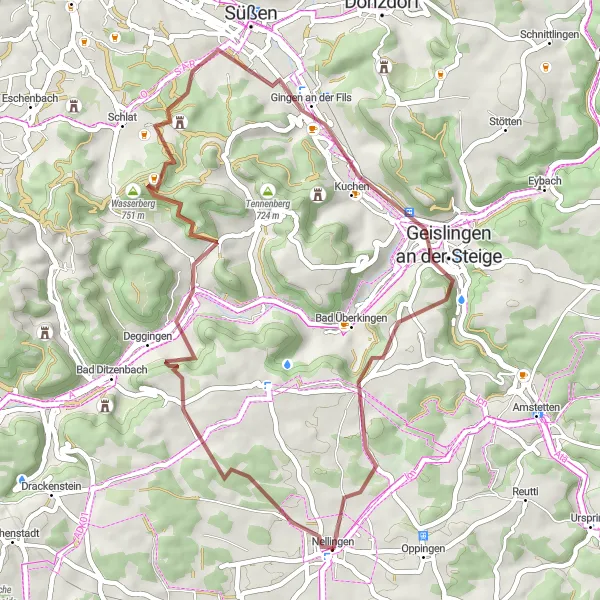
Embark on a thrilling gravel escapade through stunning landscapes
Experience the thrill of gravel cycling with this 45 km route near Nellingen. With an ascent of 820 meters, this challenging ride promises stunning views and exciting off-road adventures. Explore the charming village of Deggingen at 8 km, known for its idyllic streets and traditional architecture. Capture breathtaking views from the top of Wasserberg at 17 km, before venturing into the enchanting forests of Gingen an der Fils at 28 km. Immerse yourself in the cultural heritage of Geislingen an der Steige at 34 km, before conquering the exhilarating climbs up Hungerberg at 37 km. This gravel escapade is a true test of skill and endurance for adventurous cyclists.
Immerse yourself in the stunning landscapes along this picturesque road route
Indulge your love for scenic road cycling as you embark on this captivating 102 km journey. With a challenging ascent of 888 meters, this route offers a perfect blend of natural beauty and rural charm. Experience the idyllic villages, rolling hills, and shimmering lakes as you explore the hidden gems of the region and create unforgettable memories.
Test your limits on this challenging gravel route featurining stunning natural landscapes
Experience the thrill of a lifetime as you tackle this challenging 92 km gravel route with a total ascent of 1397 meters. Be prepared for breathtaking views, steep climbs, and adrenaline-pumping descents. Traverse picturesque towns and soak in the beauty of the region, appreciating nature at its best and reveling in the sense of accomplishment that comes with conquering this epic route.
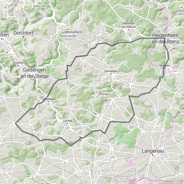
Discover the rural charm of Amstetten and its surrounding areas
This road cycling route takes you on a 63 km loop through the picturesque countryside near Nellingen. With a total ascent of 807 meters, you'll face some moderate climbs along the way. The highlight of this route is the charming village of Amstetten-Dorf, located 6 km into the route. Take a break and explore the idyllic streets and traditional architecture. As you continue, don't miss the breathtaking views at Wasserscheide Rhein-Donau (distance: 8 km) and the historic town of Gussenstadt (distance: 19 km). Wrap up your ride with a visit to Nellingen Rathaus, which marks the end of this scenic route.
Cycling routes nearby:
Nearby regions: