The Rolling Hills: Winnenden to Haselstein
A gravel cycling route starting from Winnenden
Embark on a scenic journey from Winnenden to Haselstein through rolling hills and picturesque villages.
Map
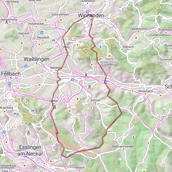
This gravel route takes you through beautiful countryside and charming villages. With a distance of 44 km and an ascent of 900 meters, it offers a moderate level of difficulty. One of the highlights along the route is Haselstein, a stunning rock formation with panoramic views. Winnenden itself is also worth exploring, known for its historic buildings and vibrant atmosphere. Overall, this route provides a delightful experience for gravel enthusiasts looking to enjoy the peaceful landscapes and cultural gems of the region.
gravel
44 km
900 m
Chill
Route profile
Highlights on the route
0 km
0 km
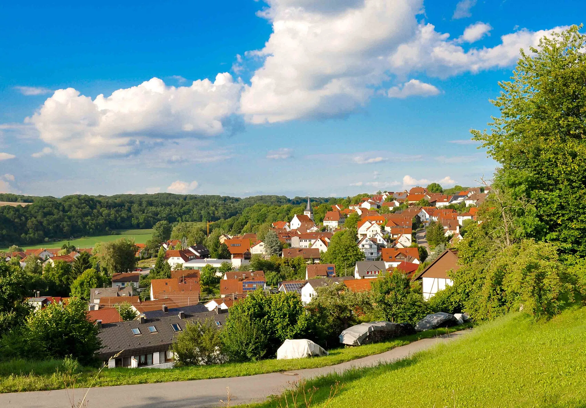
Start: Winnenden City centerWinnenden: Discover the diverse cycling routes and stunning landscapes of Winnenden, Germany.
Winnenden is a locality in Stuttgart, Germany. From a cyclist's perspective, Winnenden offers a mix of flat and hilly terrains, perfect for both road and gravel cycling. The area is surrounded by picturesque landscapes and there are several well-known climbs nearby, including the Birkenkopf and Weinberg climbs. Cyclists can also explore the beautiful Rems Valley and enjoy the scenic routes along the river. With its diverse cycling routes and scenic beauty, Winnenden is a popular destination for cyclists of all levels. The locality is ranked 4 for its cycling opportunities.2 km
2 km
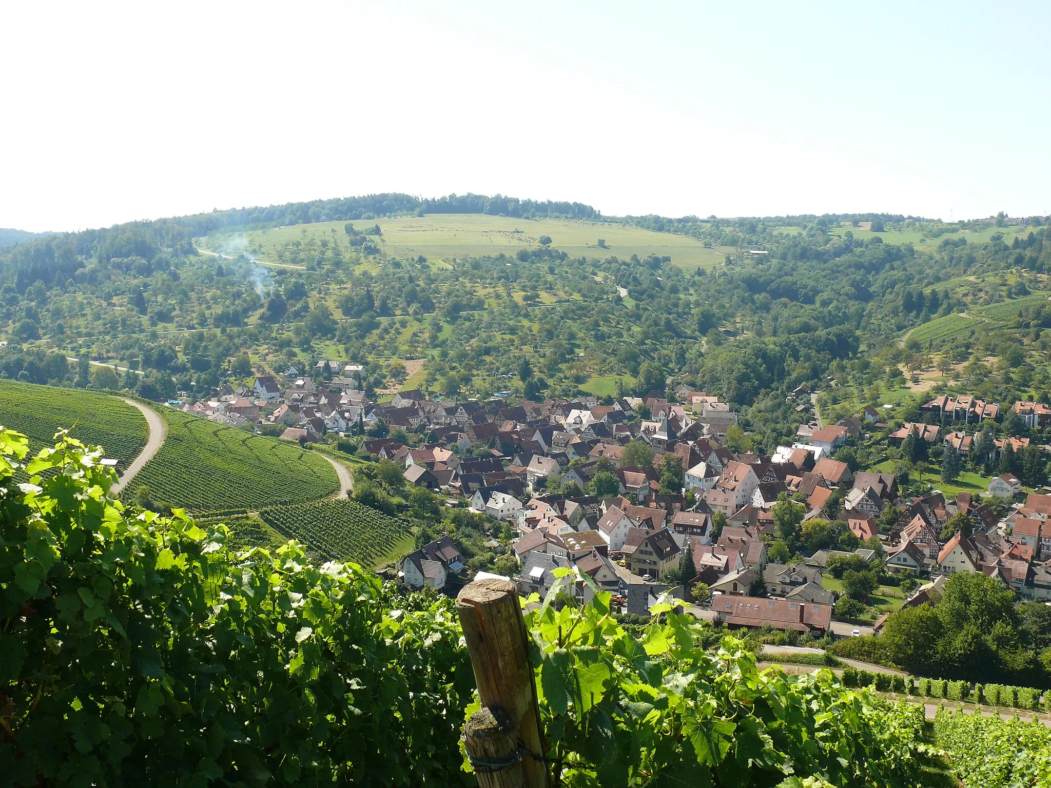
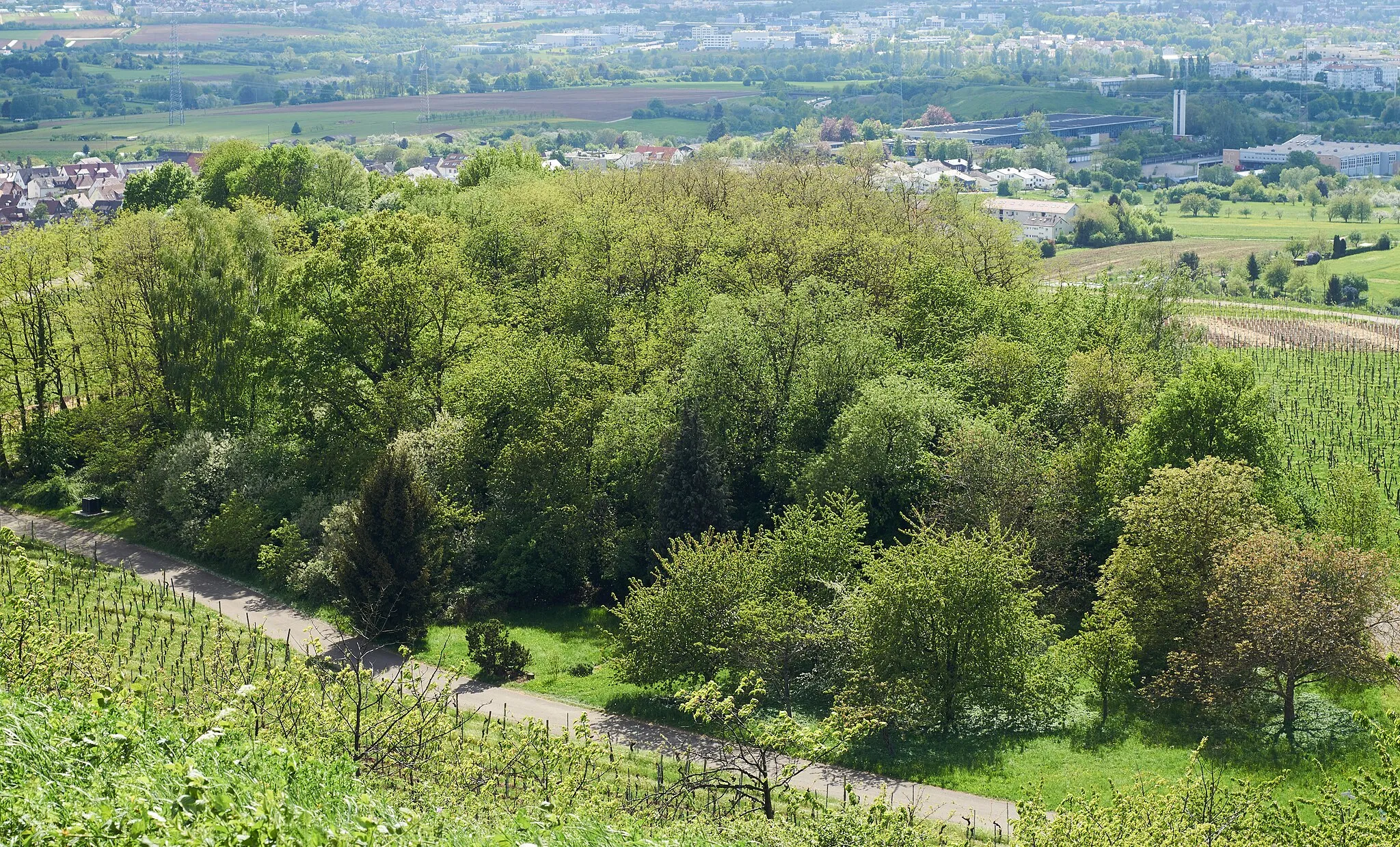
Haselstein447 mPeakHaselstein offers stunning panoramic views of the surrounding landscape.
8 km
8 km
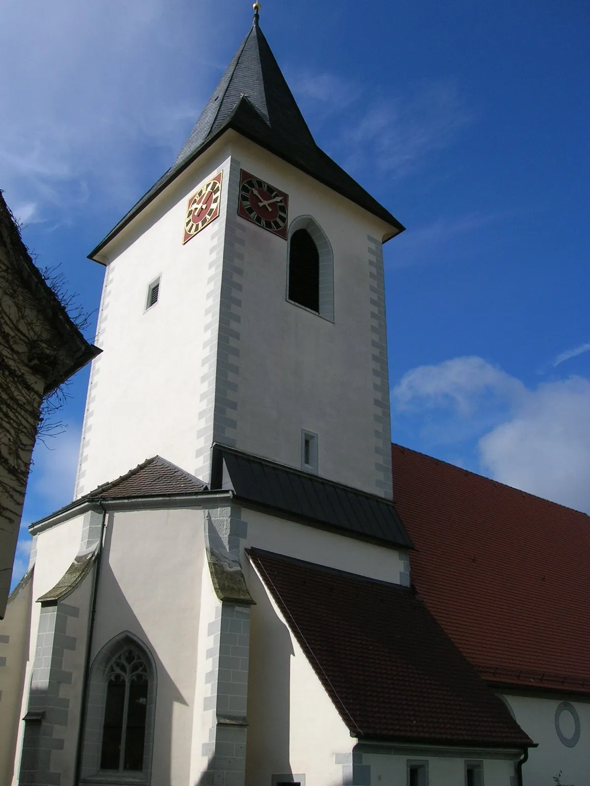
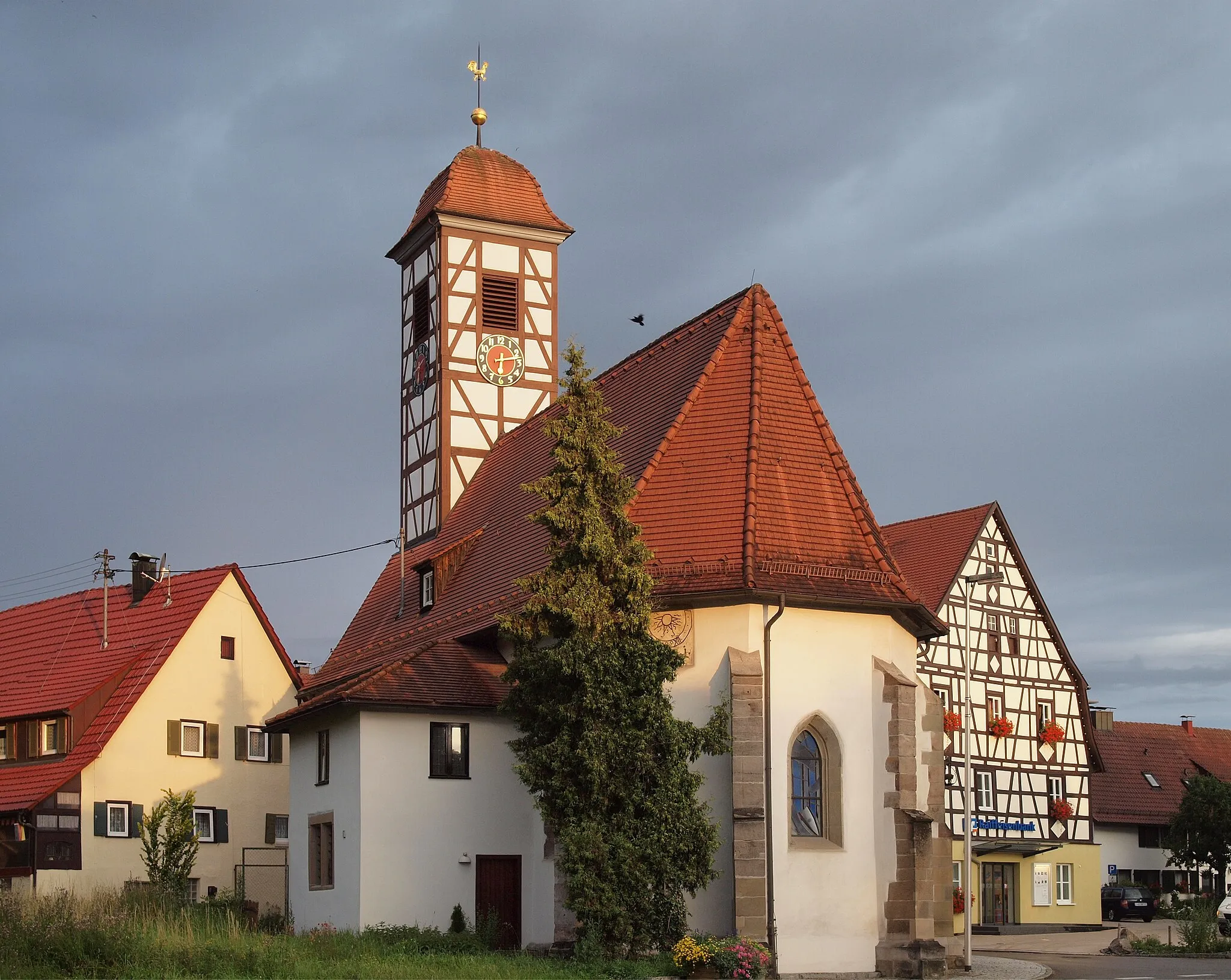
GrunbachVillageGrunbach is a charming village along the route.
26 km
26 km
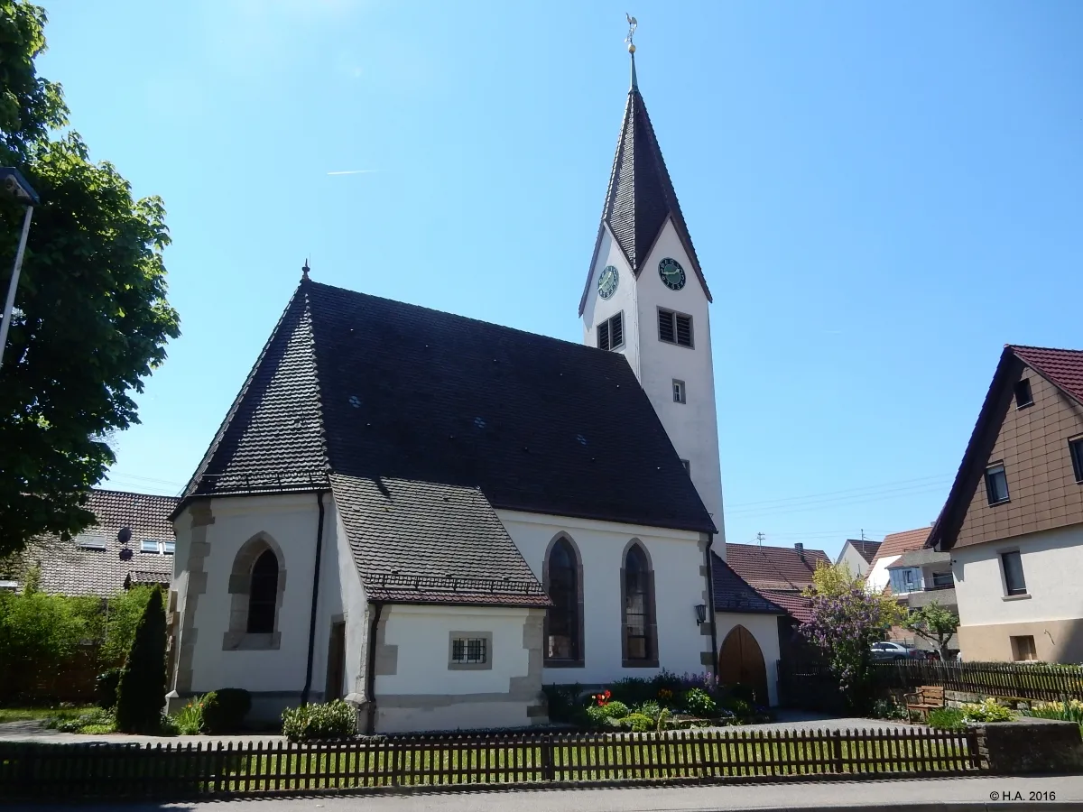
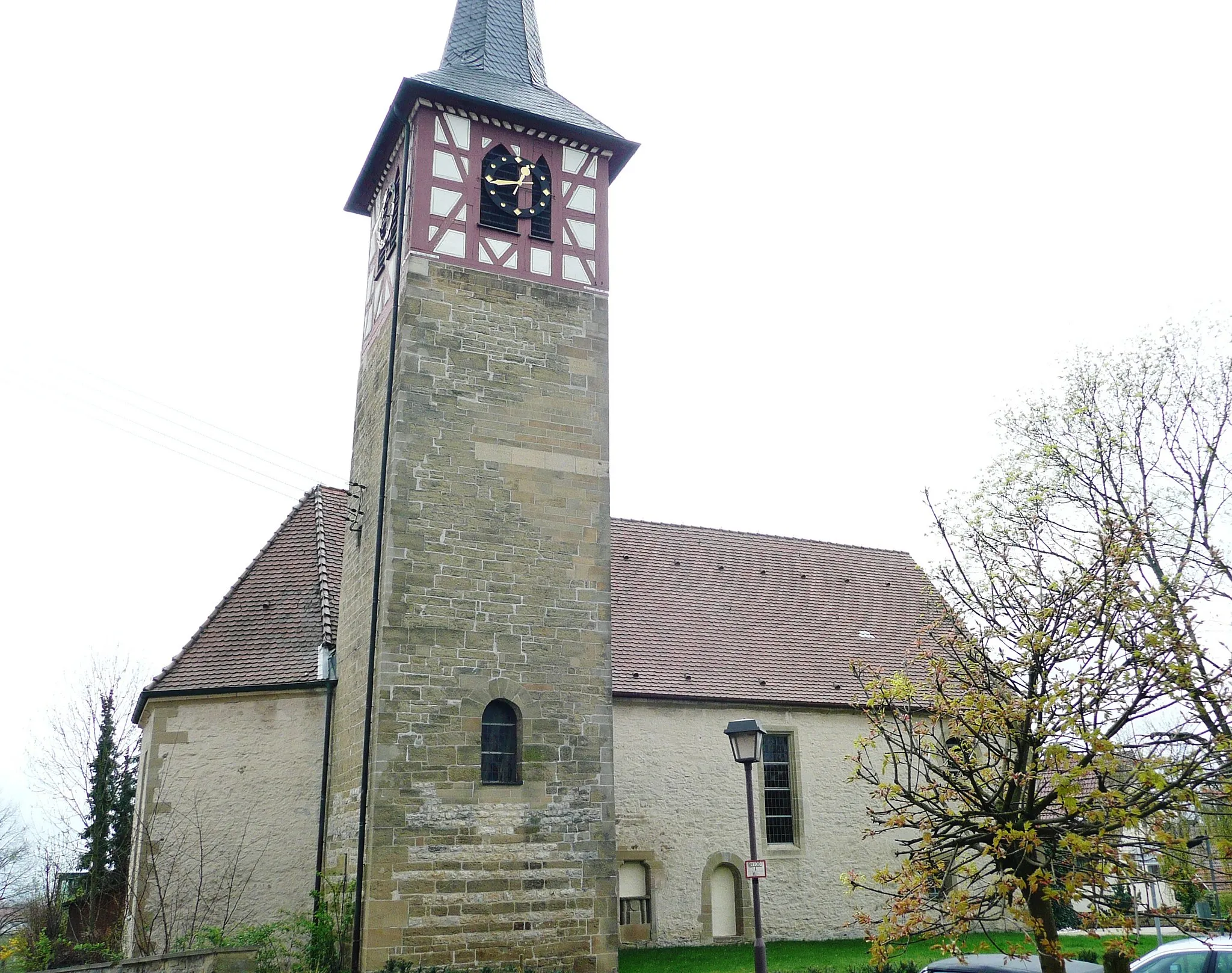
LiebersbronnSub-urbLiebersbronn offers beautiful countryside views.
40 km
40 km
Korber Kopf457 mPeakKorber Kopf is a rocky outcrop with stunning vistas.
44 km
44 km
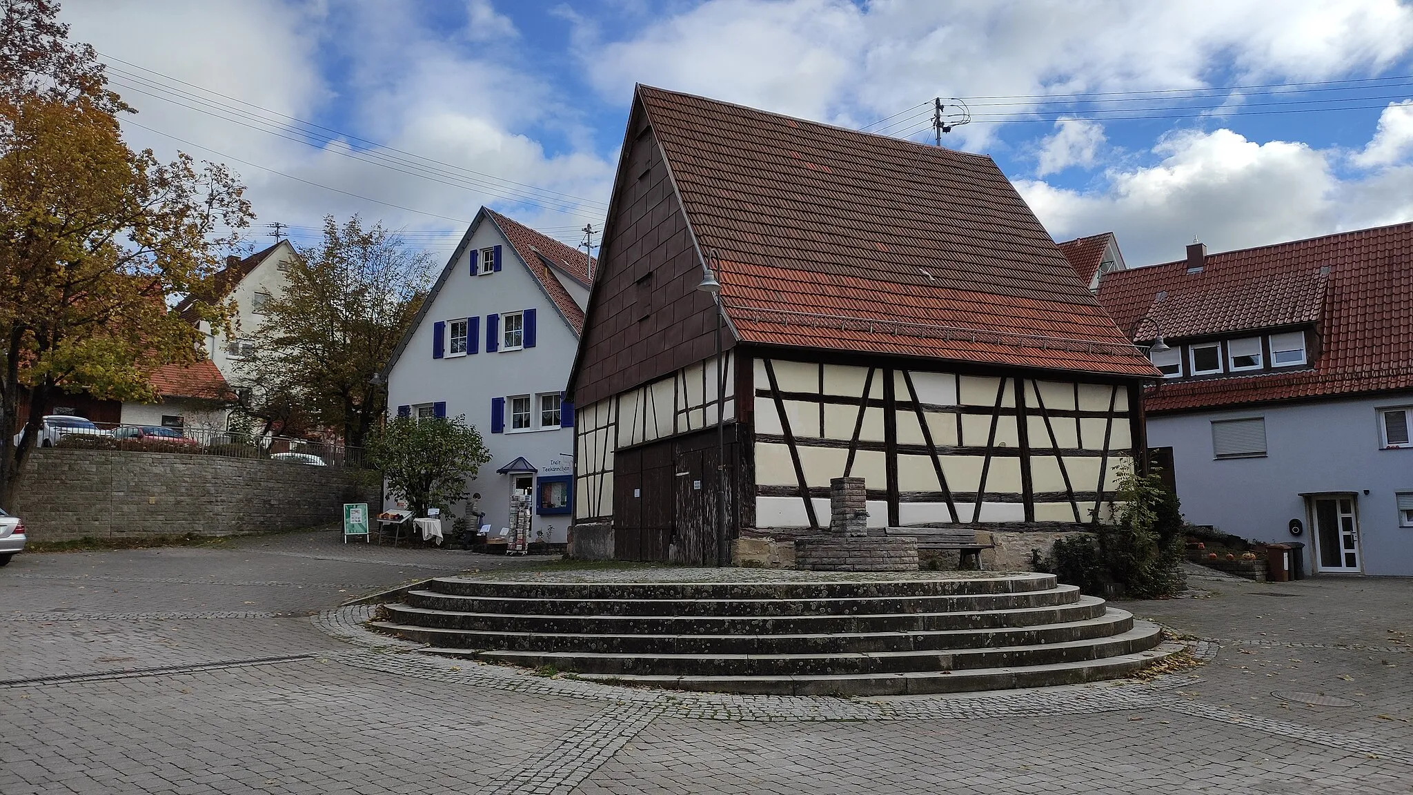
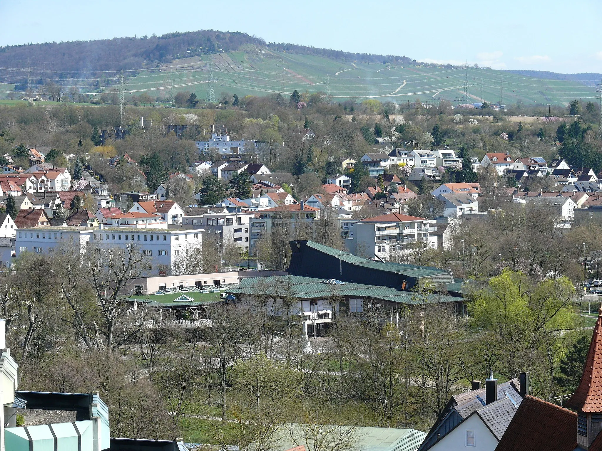
WinnendenTownWinnenden itself is known for its historic buildings and vibrant atmosphere.
44 km
44 km
Finish: Winnenden City centerWinnenden: Discover the diverse cycling routes and stunning landscapes of Winnenden, Germany.
Cycling routes from Winnenden:
Exploring the Countryside: Winnenden to Munich Backnang and Althütte Route The Ultimate Cycling Adventure: Winnenden to Weinberg Challenging Loops: Winnenden to Wüstenrot Schorndorf Discovery Ride Winnenden to Gruibingen Adventure The Gravel Adventure: Winnenden to Schwaikheim Affalterbach and Hagelsberg Loop The Rolling Hills: Winnenden to Haselstein Affalterbach and Oppenweiler Loop Winnenden Loop
Cycling routes nearby: