The Gravel Challenge
A gravel cycling route starting from Zell unter Aichelberg
Embark on a challenging gravel adventure through the hilly landscapes near Zell unter Aichelberg
Map
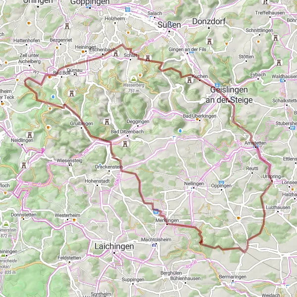
This 81km gravel route offers a thrilling challenge for experienced cyclists. With an ascent of 1,190m, the route will put your endurance and skills to the test. Highlights include the historic town of Bad Boll and the panoramic views from the Ödenturm. With a difficulty rating of 5 and an epicness rating of 4, this route is not for the faint-hearted. Prepare yourself for a demanding yet rewarding adventure in the scenic surroundings of Zell unter Aichelberg.
gravel
81 km
1190 m
Savage
Route profile
Highlights on the route
0 km
0 km
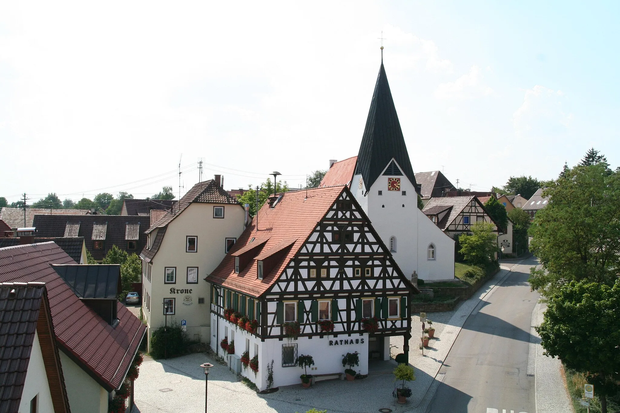
Start: Aichelberg Village centerZell unter Aichelberg: Conquer legendary climbs in Zell unter Aichelberg
Zell unter Aichelberg is a small town situated in the Stuttgart region of Germany. As a road or gravel cyclist, you'll find an array of quiet country roads and picturesque routes in the area. One notable cycling spot nearby is the Aichelberg Pass, a legendary climb known for its challenging gradients and breathtaking vistas. Zell unter Aichelberg is a great choice for cyclists looking for a mix of challenging climbs and peaceful countryside scenery.4 km
4 km
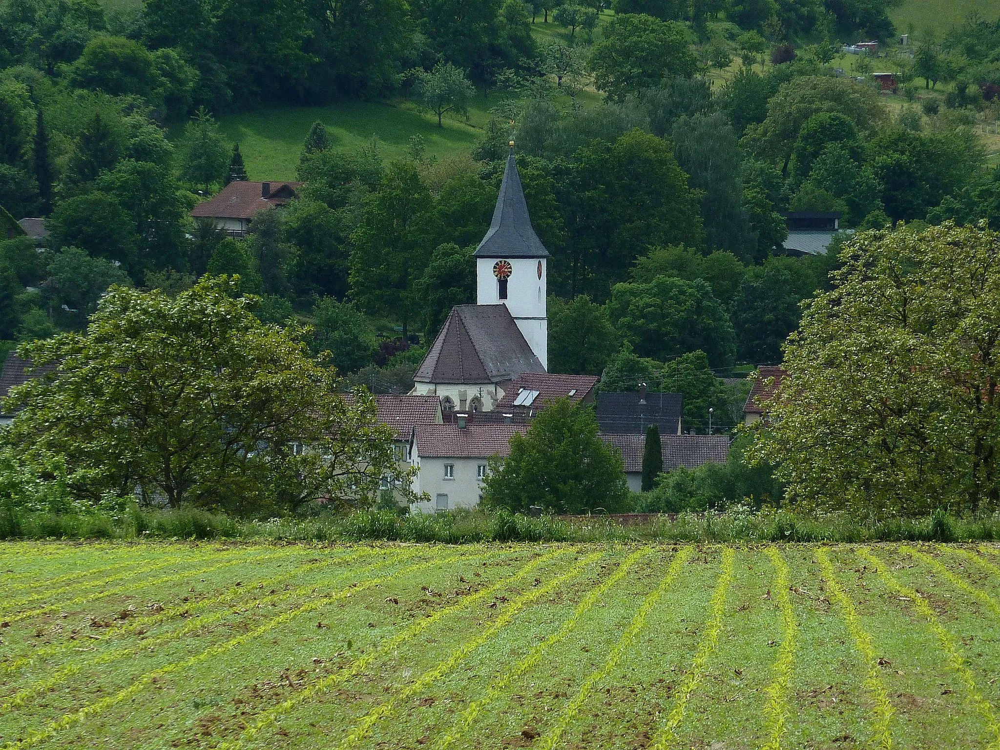
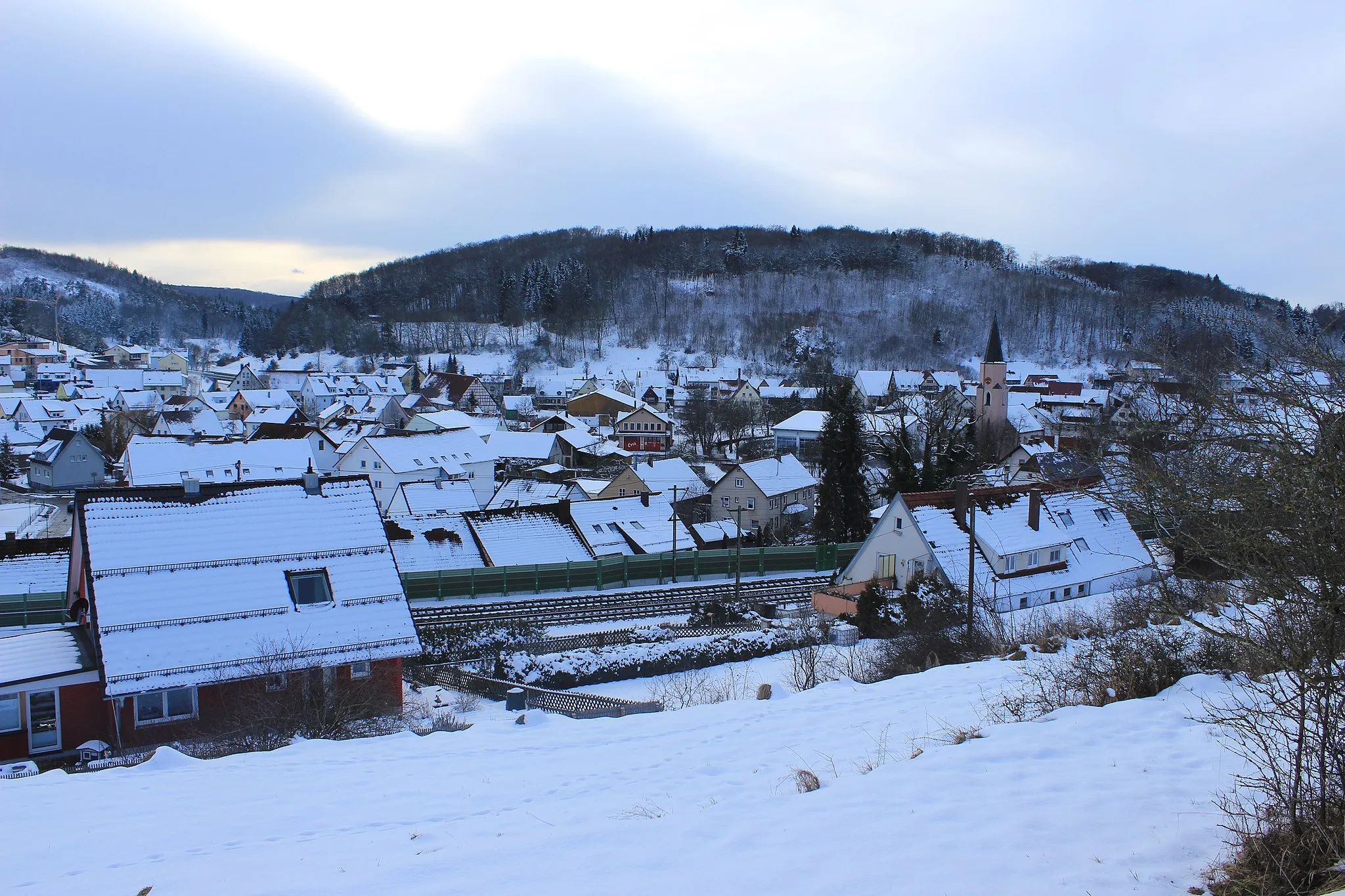
Bad BollVillageTake a break in Bad Boll and explore its historic town center and charming streets.
16 km
16 km
Heiligenberg556 mPeakClimb up Heiligenberg and enjoy the stunning panoramic views over the hilly landscapes.
26 km
26 km
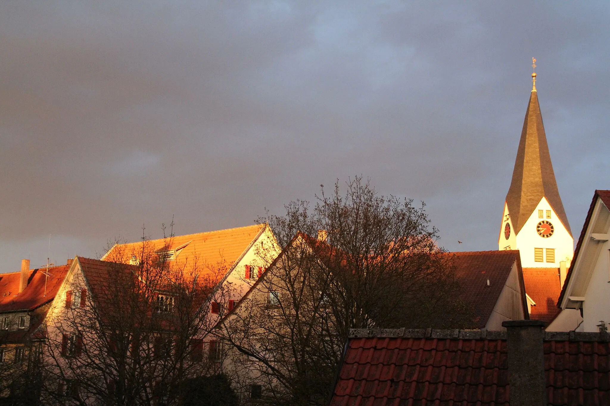
Geislingen an der SteigeTownPass through Geislingen an der Steige and discover its quaint streets and charming atmosphere.
28 km
28 km
ÖdenturmViewpointEnjoy a break at the Ödenturm and soak in the breathtaking views of the surrounding countryside.
37 km
37 km
Hägelesberg634 mPeakHägelesberg is a small village with a beautiful church and traditional architecture worth exploring.
45 km
45 km
TemmenhausenVillageTemmenhausen is a picturesque village with stunning views of the surrounding landscapes.
57 km
57 km
MerklingenVillageExplore Merklingen's historical sites, including its well-preserved castle and charming old town.
69 km
69 km
Leimberg747 mPeakConquer the challenging climb up Leimberg and be rewarded with panoramic views of the rolling hills.
77 km
77 km
Boßler803 mPeak ViewpointThe Boßler is a famous cycling spot, known for its challenging ascent and beautiful natural scenery.
81 km
81 km
Aichelberg564 mVillageReach the summit of Aichelberg and enjoy the stunning vistas of the surrounding countryside.
81 km
81 km
Finish: Aichelberg Village centerZell unter Aichelberg: Conquer legendary climbs in Zell unter Aichelberg
Cycling routes from Zell unter Aichelberg:
Cycling routes nearby: