Thüringer Goethe-Höhenweg
A road cycling route starting from Blankenhain
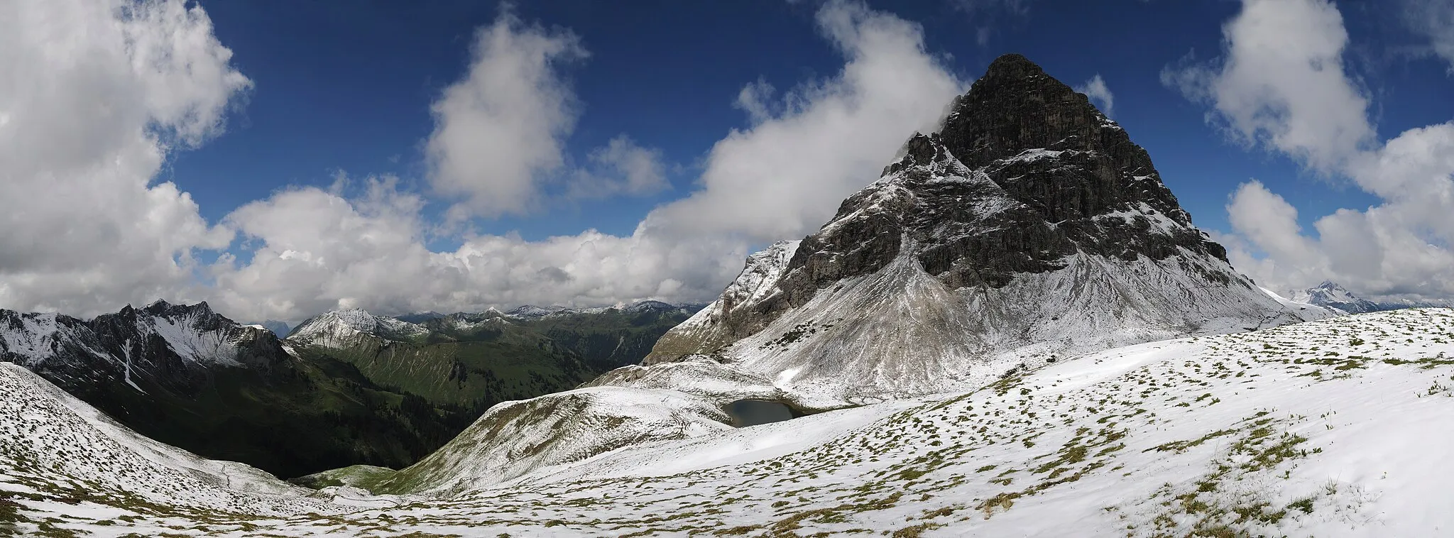
Cycling through the scenic hills of Thuringia
Map
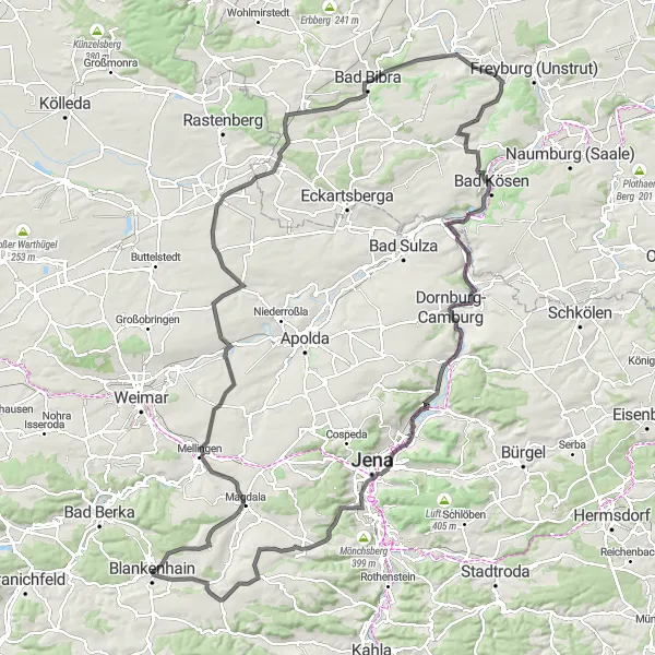
The Thüringer Goethe-Höhenweg is a challenging road cycling route starting near Blankenhain. With a total ascent of 1300m over a distance of 140km, this route takes cyclists on a journey through the picturesque landscapes and historic towns of Thuringia. The route features several highlights, including the Bombenberg, Großlohma, Ottstedter Berg, and Oßmannstedt, offering breathtaking views and opportunities to explore charming rural villages. Cyclists can also enjoy a stop at the Saline-Blick, a memorable lookout point overlooking the countryside. The Thüringer Goethe-Höhenweg is a perfect choice for experienced cyclists looking for a challenging and rewarding cycling adventure in Thuringia.
road
140 km
1300 m
Tough
Route profile
Highlights on the route
0 km
0 km
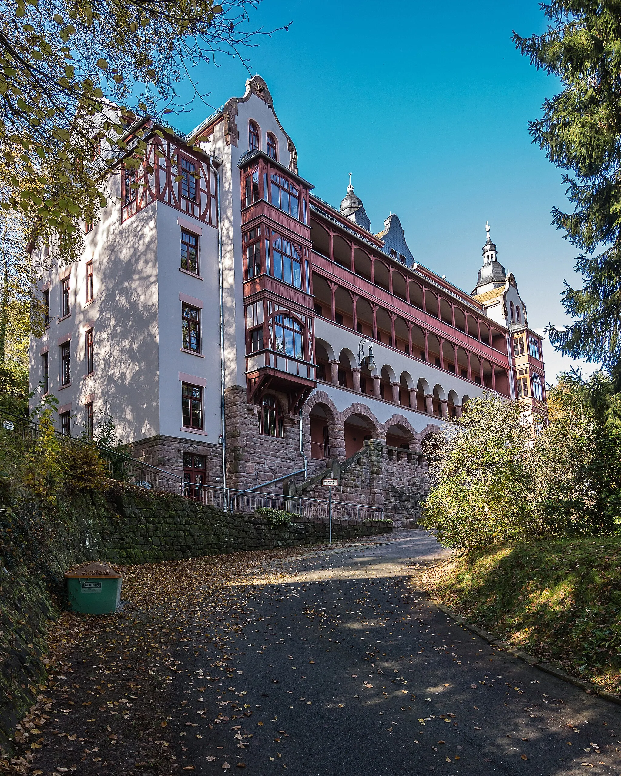
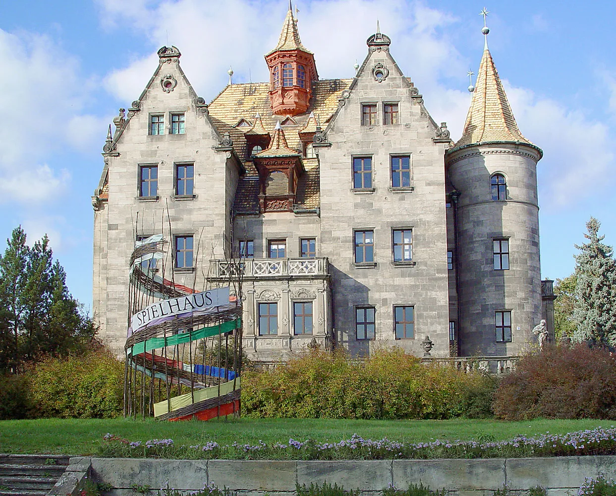
Start: Blankenhain City centerBlankenhain: Scenic Cycling and Cultural Heritage in Thüringen
Blankenhain, situated in the Thüringen region of Germany, is perfect for road and gravel cyclists seeking a mix of scenic routes and cultural attractions. The locality offers well-maintained roads and off-road paths, providing an optimal environment for cycling. Cyclists can explore the charming surrounding villages and take in the peaceful countryside. Blankenhain is also well-known for its cultural heritage, featuring historic buildings and well-preserved architecture. While not hosting any legendary climbs or spots, Blankenhain presents a delightful experience for cyclists and tourists alike. It ranks at 3 out of 5 for its overall cycling appeal.2 km
2 km
Bombenberg462 mPeakThe Bombenberg offers panoramic views of the surrounding countryside.
5 km
5 km
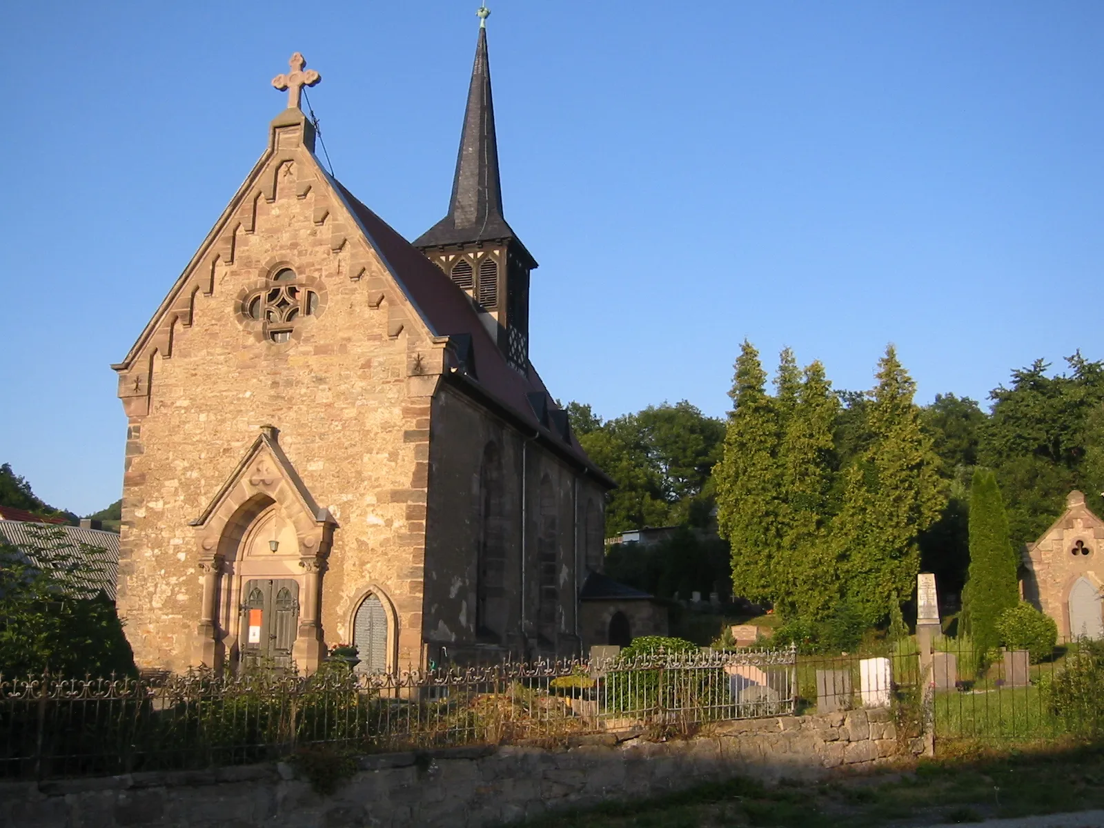
GroßlohmaVillageGroßlohma is a picturesque village known for its well-preserved half-timbered houses.
13 km
13 km
Ottstedter Berg334 mPeakClimb the Ottstedter Berg for stunning vistas and a sense of achievement.
25 km
25 km
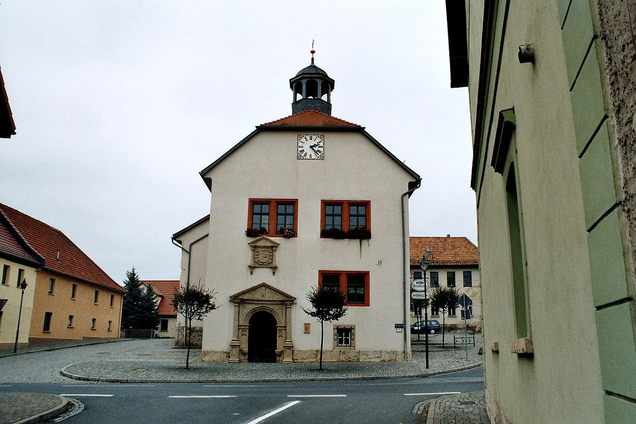
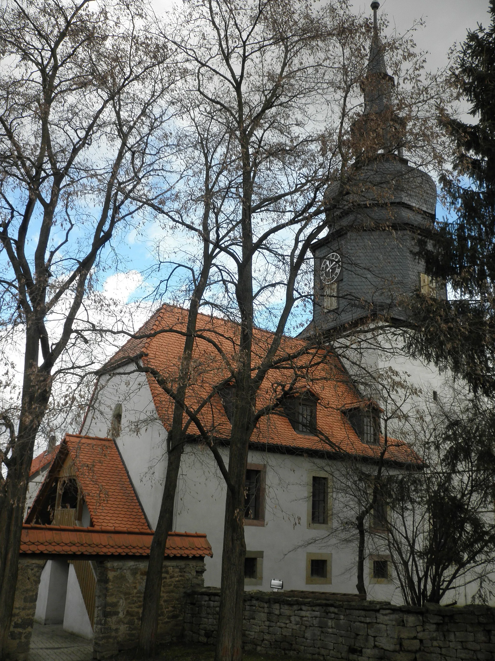
OßmannstedtVillageOßmannstedt is a charming village with beautiful architecture and a rich cultural heritage.
35 km
35 km
OberreißenVillageDiscover the scenic beauty of Oberreißen as you cycle through its serene landscapes.
40 km
40 km
Donnersberg198 mPeakDonnersberg is a quaint village known for its historic charm and tranquil ambiance.
59 km
59 km
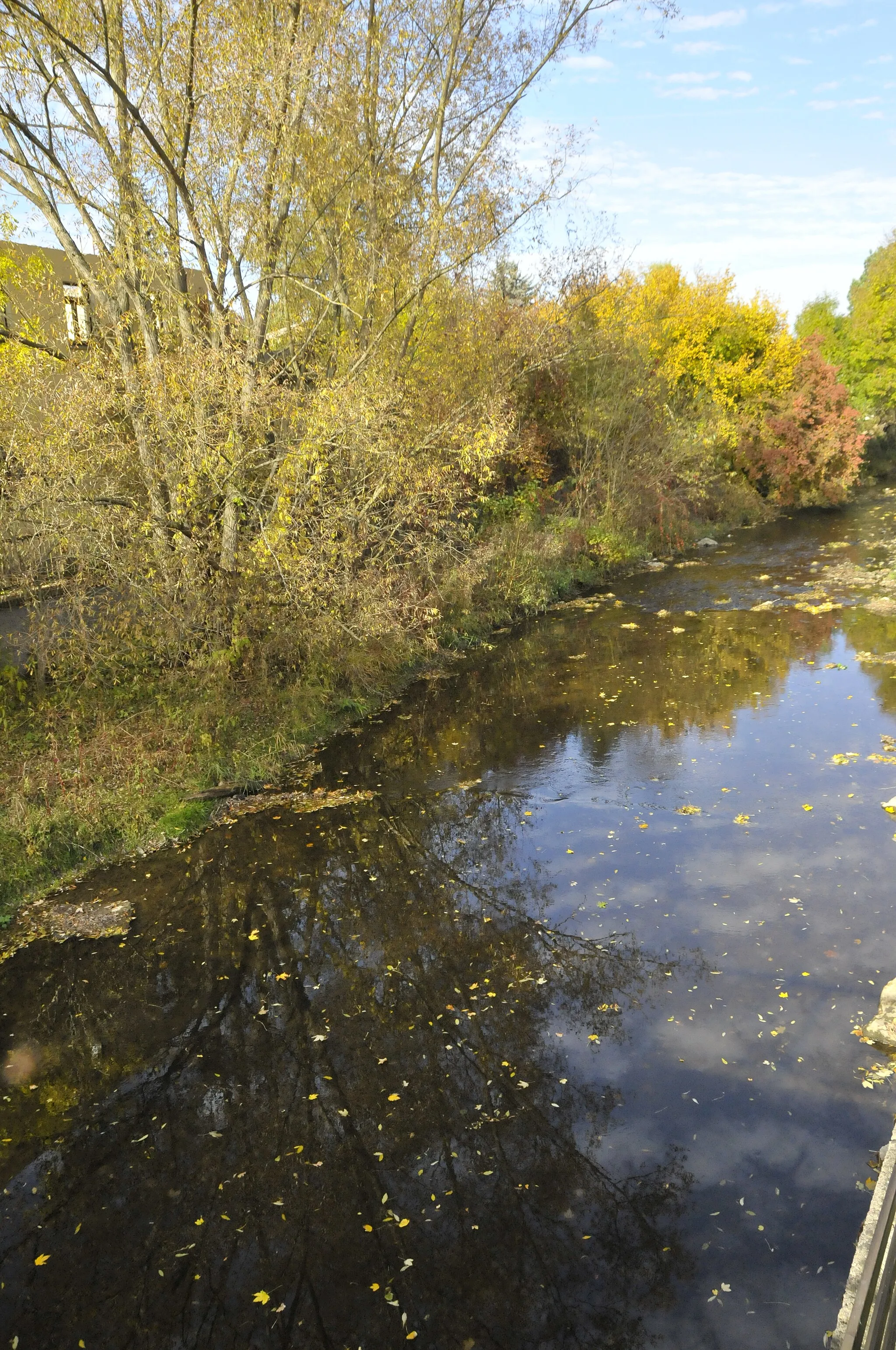
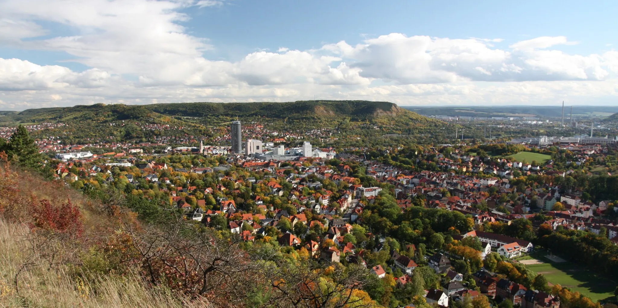
Schöne AussichtViewpointThe Schöne Aussicht offers breathtaking panoramic views of the Thuringian countryside.
64 km
64 km
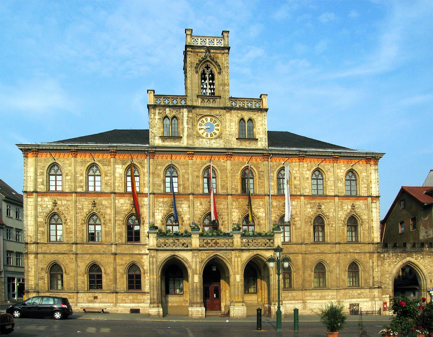
ObertorAttractionObertor is a medieval gate that serves as a gateway to historical exploration.
80 km
80 km
Saline- BlickViewpointExperience the stunning views from Saline-Blick, a lookout point offering a panoramic vista of the surrounding landscape.
88 km
88 km
KaatschenVillageKaatschen is a charming town dotted with historic architecture and picturesque scenery.
98 km
98 km
WürchhausenVillageWürchhausen is a quaint village with beautiful landscapes and historical charm.
103 km
103 km
Burgschädel229 mPeak ViewpointBurgschädel is a historic landmark that provides insight into the region's fascinating history.
122 km
122 km
Knoll391 mPeakKnoll is a scenic hill with stunning views of the Thuringian countryside.
125 km
125 km
SchorbaVillageSchorba is a charming village known for its tranquil ambiance and picturesque surroundings.
133 km
133 km
KeßlarVillageKeßlar features beautiful architecture and a peaceful atmosphere, perfect for relaxation.
135 km
135 km
Mittelberg450 mPeakMittelberg offers stunning panoramic views and a sense of serenity.
140 km
140 km
Finish: Blankenhain City centerBlankenhain: Scenic Cycling and Cultural Heritage in Thüringen
Cycling routes nearby: