The Vogelsberg Exploration
A gravel cycling route starting from Breitungen
Embark on a gravel adventure through the majestic Vogelsberg region
Map

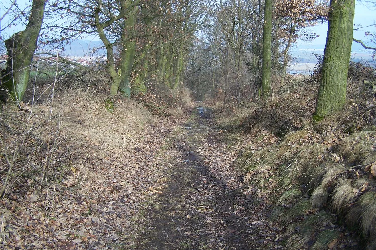
Experience the awe-inspiring Vogelsberg region on this gravel cycling route near Breitungen. With a total ascent of 1780 meters over a distance of 88 kilometers, this challenging route will test your endurance and reward you with magnificent vistas. Explore highlights such as Vogelsberg, Trusetal, Neue Schmalkalder Hütte, Schmalkalder Loibe, Schutzhütte "Axel", Rotebühl, Schwarza, Schwallunger Berg, Kemenate Schwallungen, and Bußhof. Immerse yourself in the natural wonders of the region, from lush forests to rolling hills.
gravel
88 km
1780 m
Savage
Route profile
Highlights on the route
0 km
0 km
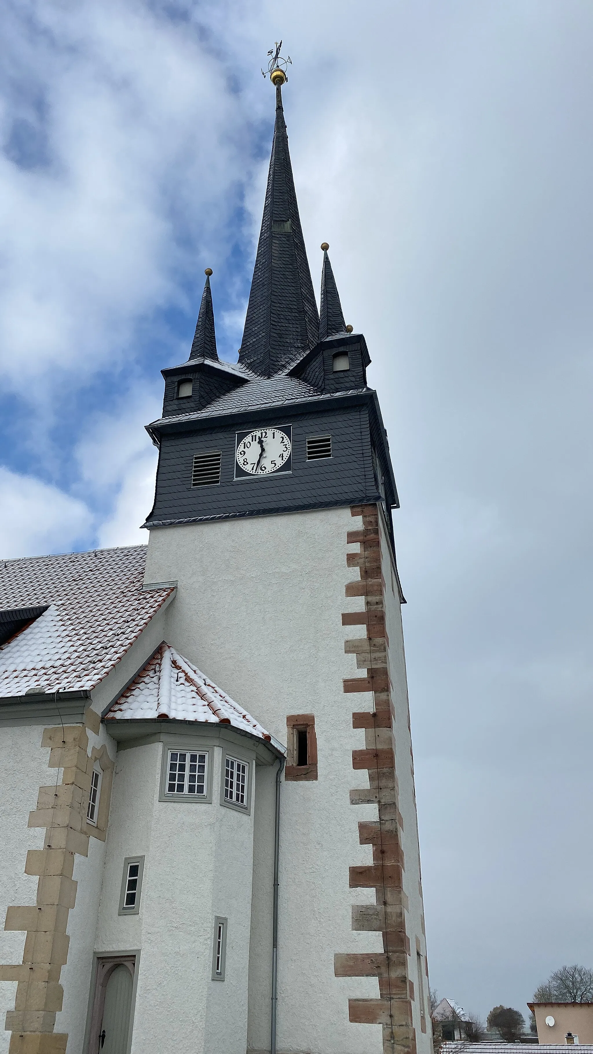
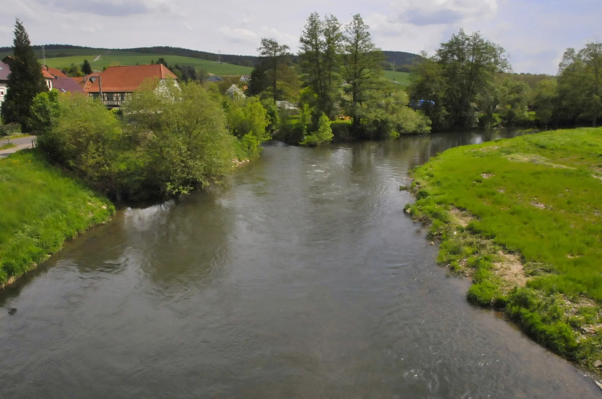
Start: Breitungen/Werra City centerBreitungen: Immerse in Tranquil Countryside on Two Wheels
Breitungen, situated in Thüringen, Germany, is a charming locality that provides excellent cycling opportunities. The region boasts scenic landscapes comprising rolling hills, lush green forests, and tranquil rivers, offering a delightful backdrop for cycling adventures. Cyclists can explore the well-maintained roads that wind through picturesque routes, providing a peaceful and enjoyable riding experience. The locality is surrounded by various cycling trails, such as the Werratalradweg and Rennsteigradweg, allowing riders to discover the beauty of Thüringen. Breitungen also offers cyclist-friendly amenities, including bike rental services and cozy accommodations. With its captivating scenery and cyclist-oriented infrastructure, Breitungen is a fantastic destination for cyclists of all levels.2 km
2 km
Vogelsberg360 mPeakVogelsberg, the largest volcanic mountain range in Germany, offers captivating views and unique geological formations.
7 km
7 km
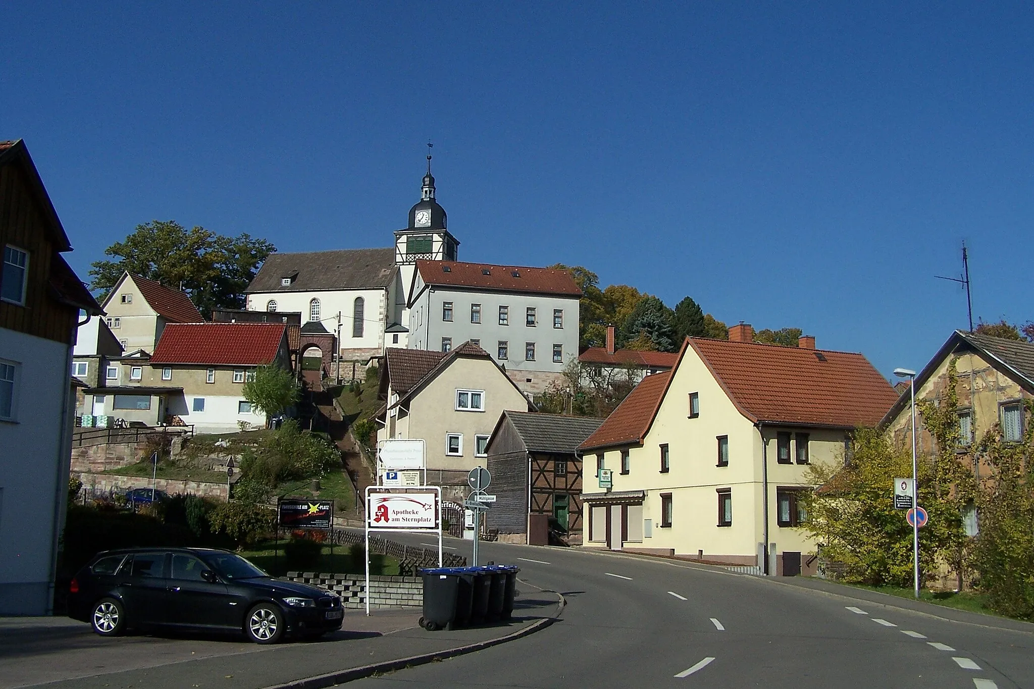
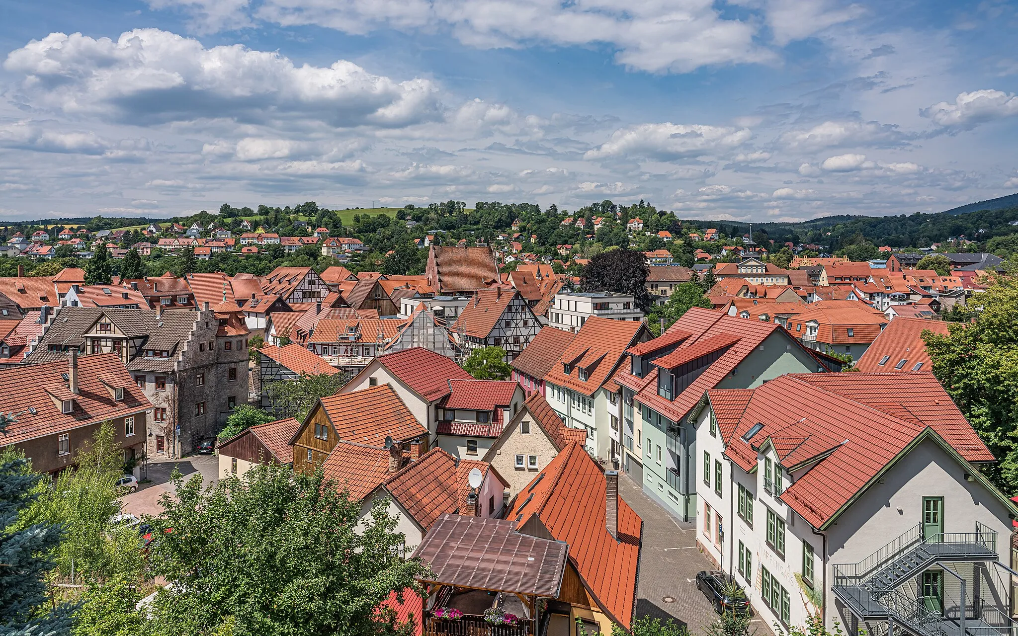
TrusetalVillageTrusetal is home to a magnificent waterfall and enchanting hiking trails, allowing for a brief interlude amidst nature's splendor.
20 km
20 km
Neue Schmalkalder HütteShelterNeue Schmalkalder Hütte is a perfect spot to take a break and indulge in panoramic vistas of the surrounding landscapes.
28 km
28 km
Schmalkalder Loibe886 mPeakSchmalkalder Loibe is a famous gully trail that promises thrilling descents and challenges.
35 km
35 km
Schutzhütte "Axel"ShelterThe rustic Schutzhütte "Axel" serves as a resting point surrounded by tranquil meadows and idyllic scenery.
51 km
51 km
Rotebühl516 mPeakRotebühl offers stunning views from its vantage point, allowing you to take in the rolling hills and forests.
58 km
58 km
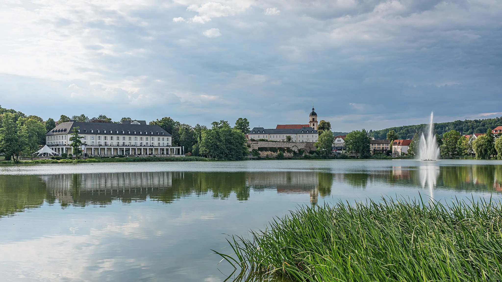
SchwarzaVillageSchwarza features picturesque landscapes and is a haven for outdoor enthusiasts with its network of cycling and hiking trails.
71 km
71 km
Schwallunger Berg464 mPeakSchwallunger Berg provides magnificent views of the surrounding countryside and is a popular destination for cyclists.
78 km
78 km
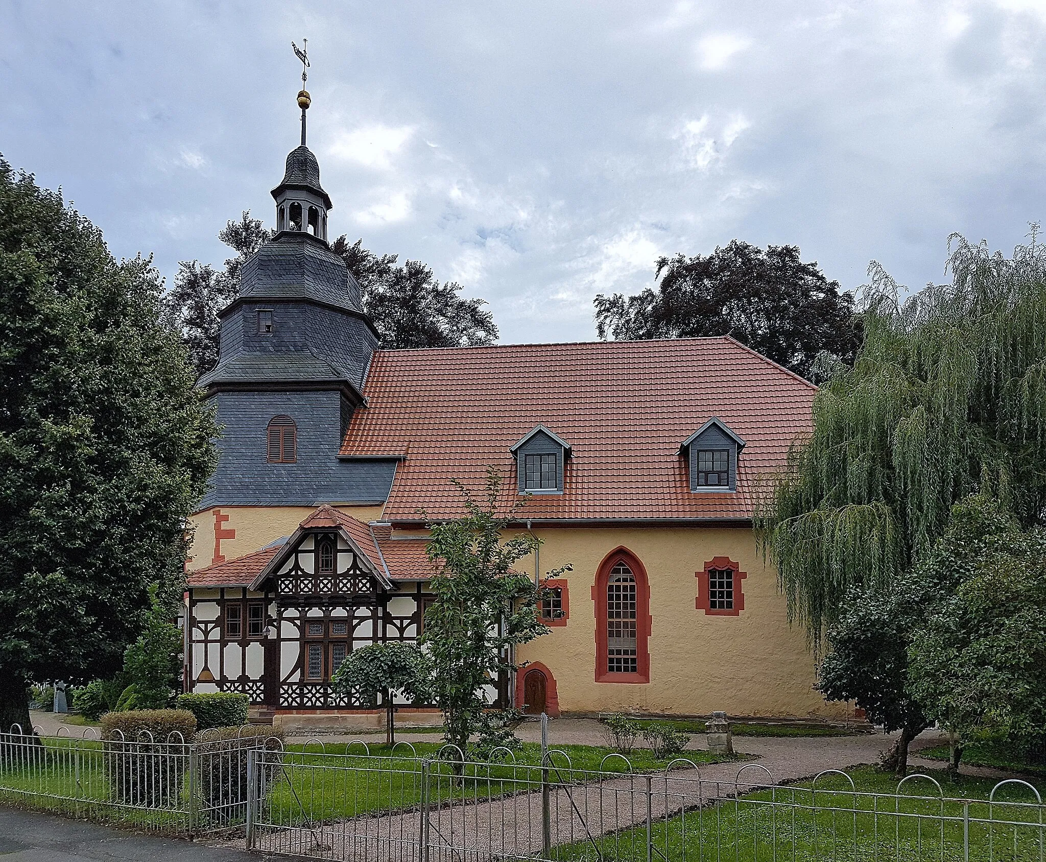
Kemenate SchwallungenAttractionExplore the medieval Kemenate Schwallungen, a castle-like building with a rich history and breathtaking architecture.
86 km
86 km
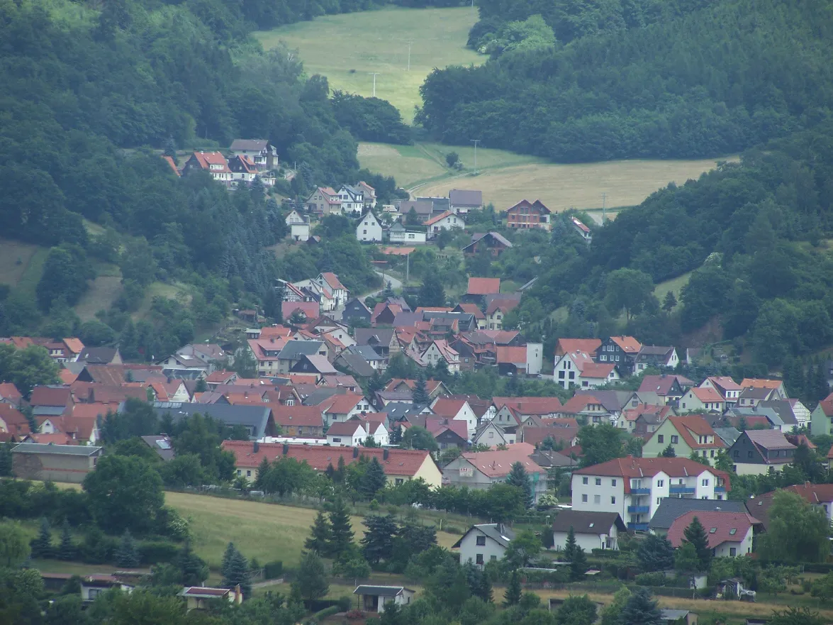
BußhofHamletBußhof is a charming village situated amidst beautiful natural surroundings, offering a serene and idyllic ambiance.
88 km
88 km
Finish: Breitungen/Werra City centerBreitungen: Immerse in Tranquil Countryside on Two Wheels
Cycling routes from Breitungen:
Cycling routes nearby: