The Heritage Route
A road cycling route starting from Geisa
Experience history along this distinctive road cycling route
Map

The Heritage Route takes you on a 108-km journey through some of Thüringen's most historic sites. With a total ascent of 1,185m, this road cycling route is suitable for well-trained amateurs. Highlights include Point Alpha - US-Beobachtungsturm, an observation tower that offers panoramic views of the surrounding area. Other notable sites along the route include Rasdorf, Lichtberg, and Tann.
road
108 km
1185 m
Tough
Route profile
Highlights on the route
0 km
0 km
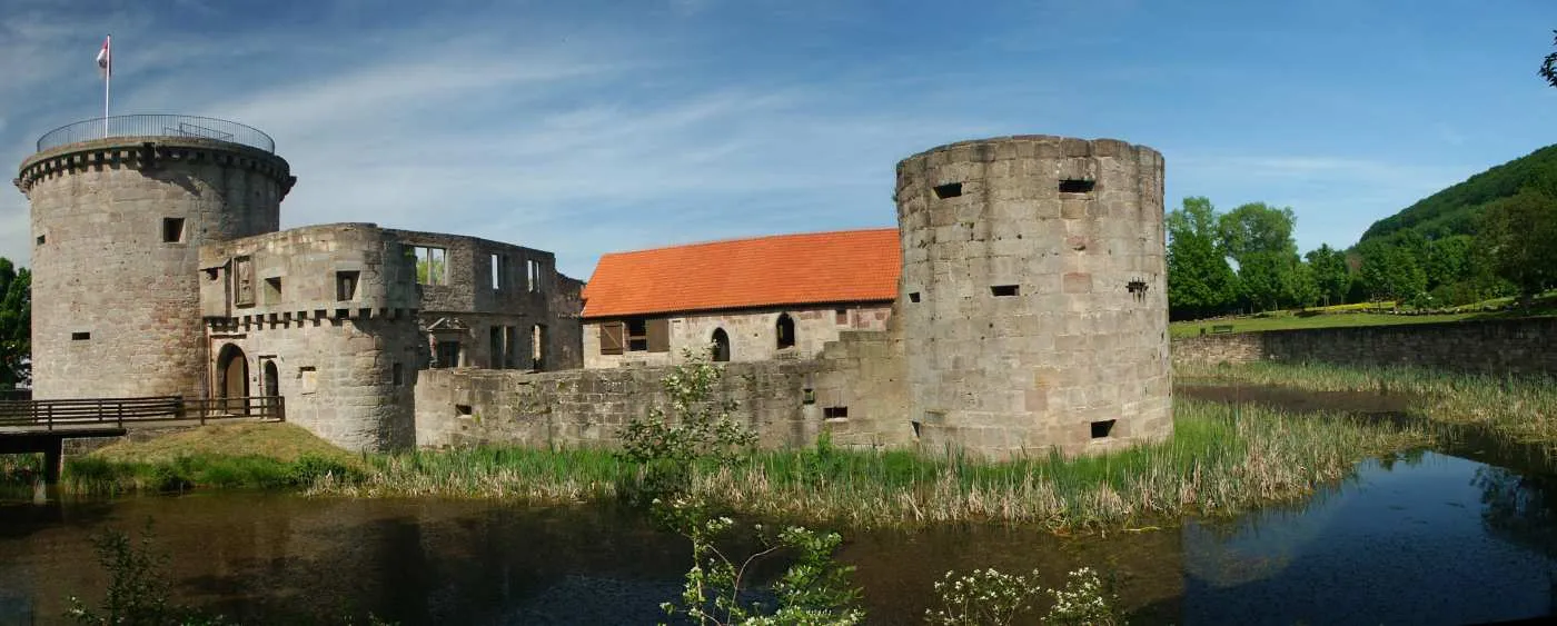
Start: Borsch Village centerGeisa: Serene cycling routes for relaxation and adventure
Geisa, situated in Germany's Thüringen region, offers a rewarding cycling experience. The locality boasts smooth roads and gently rolling terrain, making it ideal for road cyclists. Gravel cyclists can delight in the countless off-road trails that wind through captivating landscapes. Geisa's proximity to the iconic Rennsteig trail adds to its allure. With its cyclist-friendly layout and versatile routes, Geisa earns a ranking of 4.4 km
4 km
Point Alpha - US-BeobachtungsturmViewpointStop by Point Alpha - US-Beobachtungsturm for breathtaking panoramic views of the region.
6 km
6 km
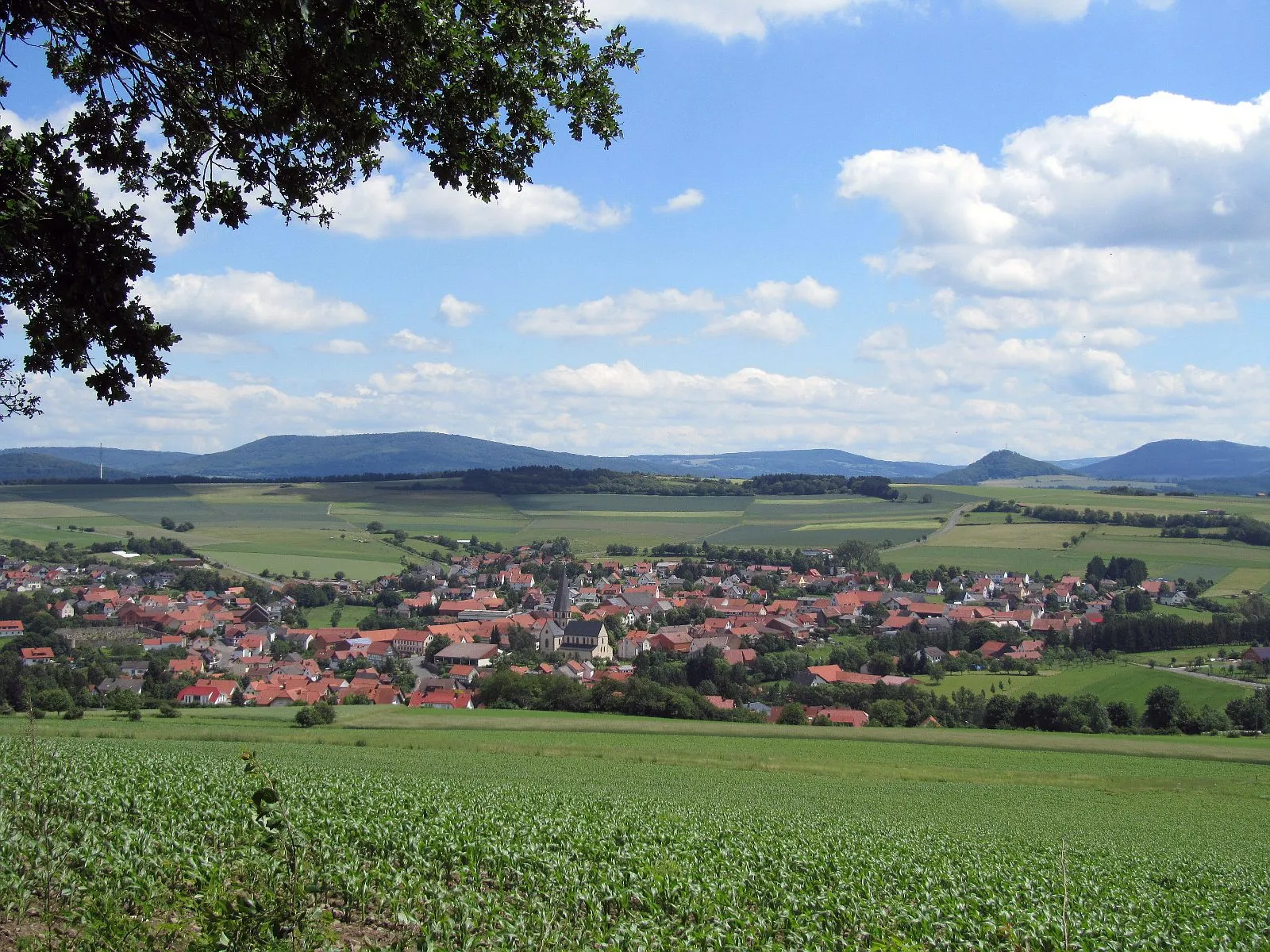
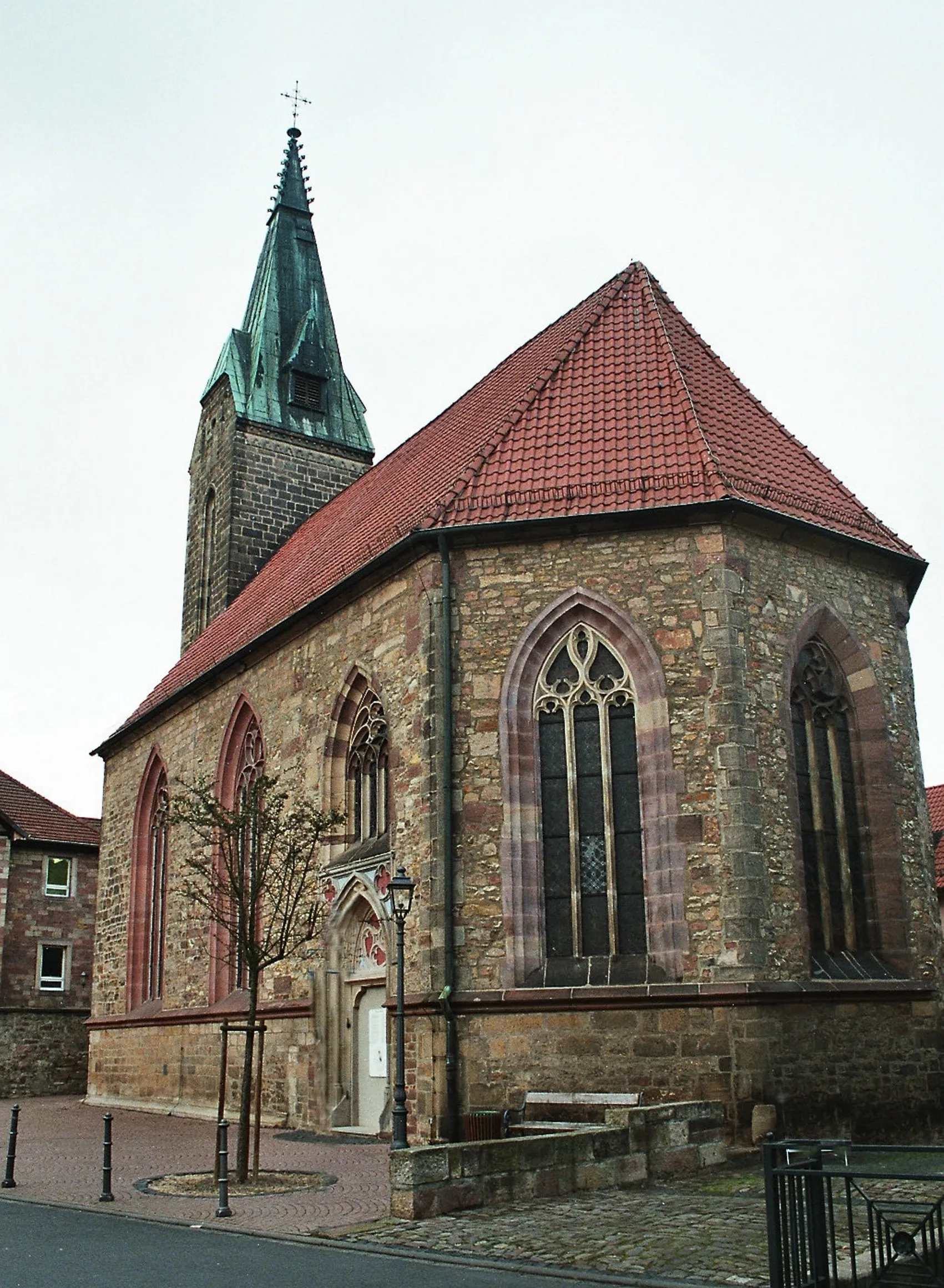
RasdorfVillageExplore the charming town of Rasdorf and soak in its rich history.
14 km
14 km
Lichtberg465 mPeakClimb the picturesque Lichtberg for stunning views of the Thüringer Wald.
24 km
24 km
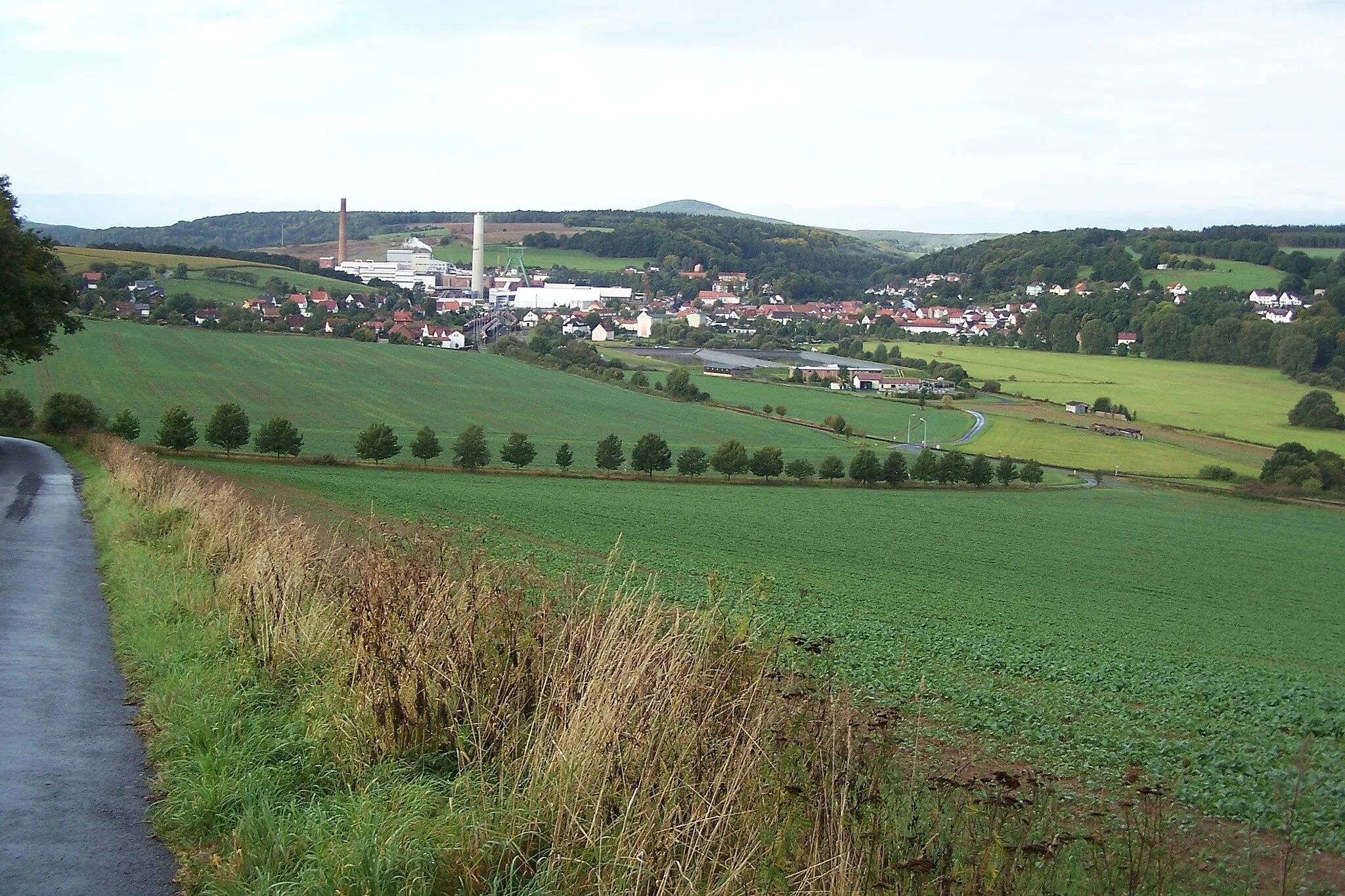
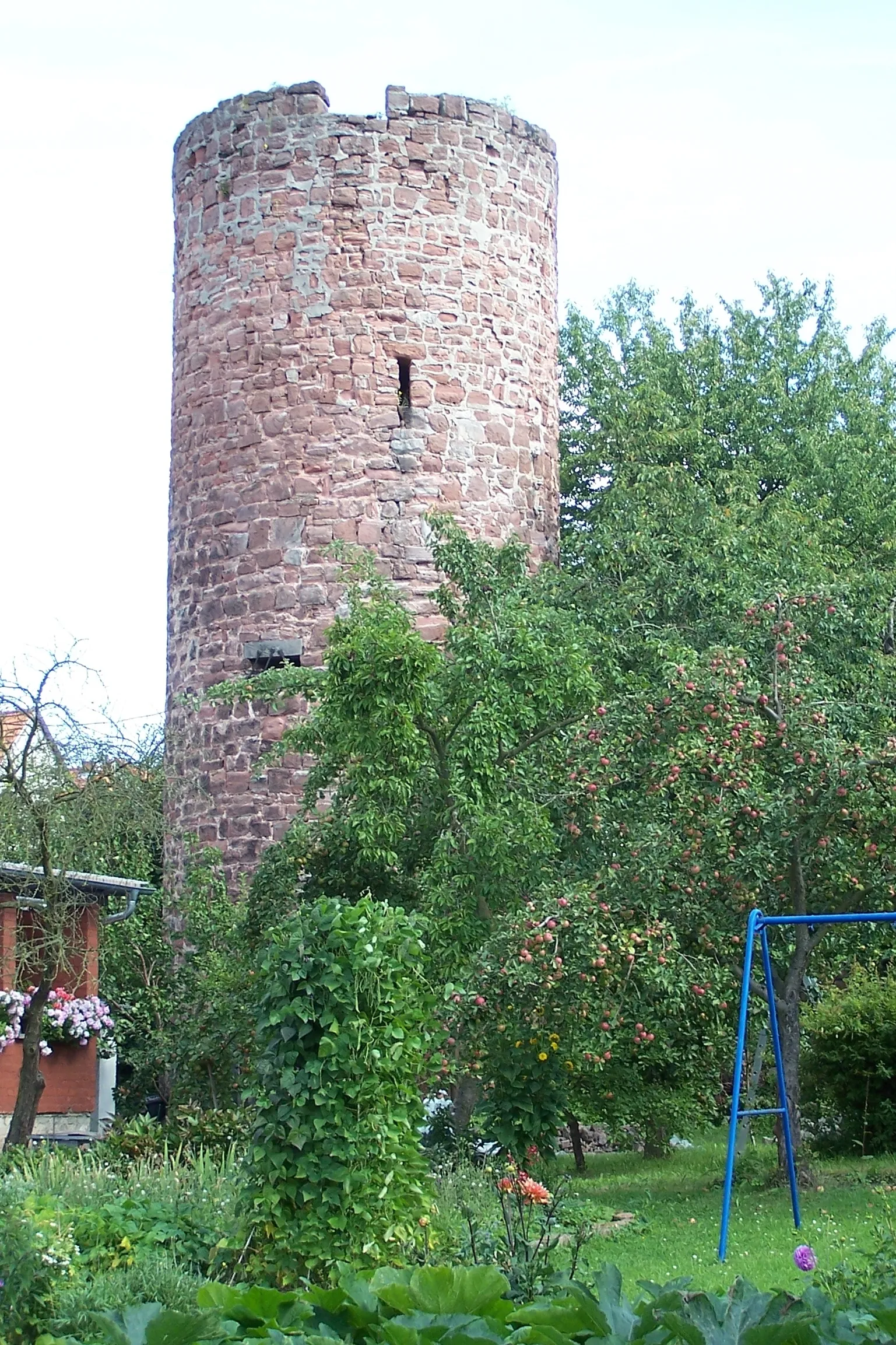
SieglosVillageVisit the small village of Sieglos and learn about its unique heritage.
40 km
40 km
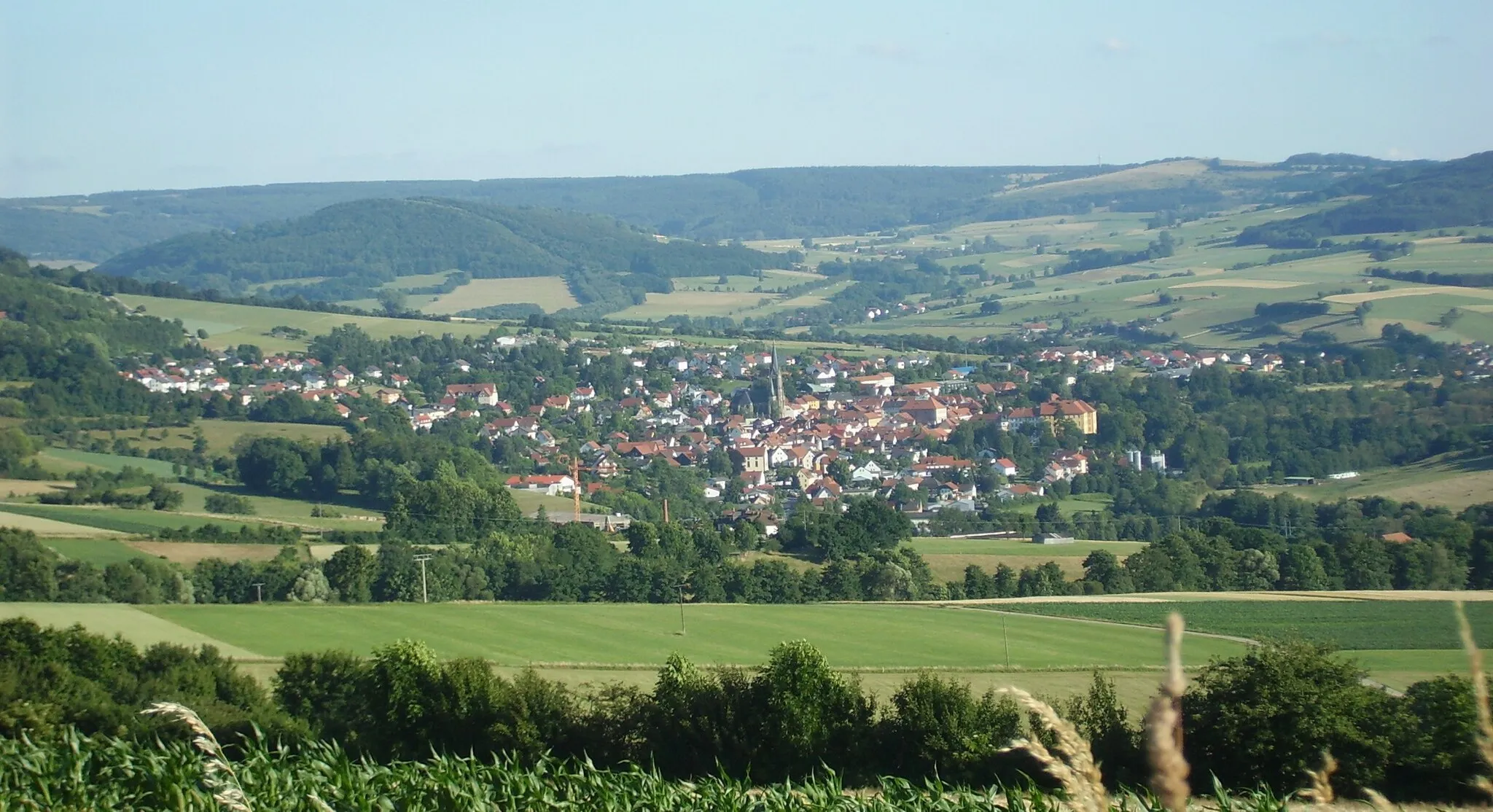
TannVillageDiscover the town of Tann and its fascinating historical landmarks.
50 km
50 km
Brenzelshöhe481 mPeakTake a break at Brenzelshöhe, a rest area with beautiful scenery.
53 km
53 km
WüstefeldHamletPause at Wüstefeld and enjoy the peaceful surroundings.
63 km
63 km
WeiterodeVillageAdmire the idyllic landscape of Weiterode, a small village on the route.
69 km
69 km
Kehlberg363 mPeakEnjoy a challenging climb up Kehlberg and revel in the sense of accomplishment.
81 km
81 km
Dreienberg511 mPeakPass by Dreienberg, a quiet village known for its natural beauty.
83 km
83 km
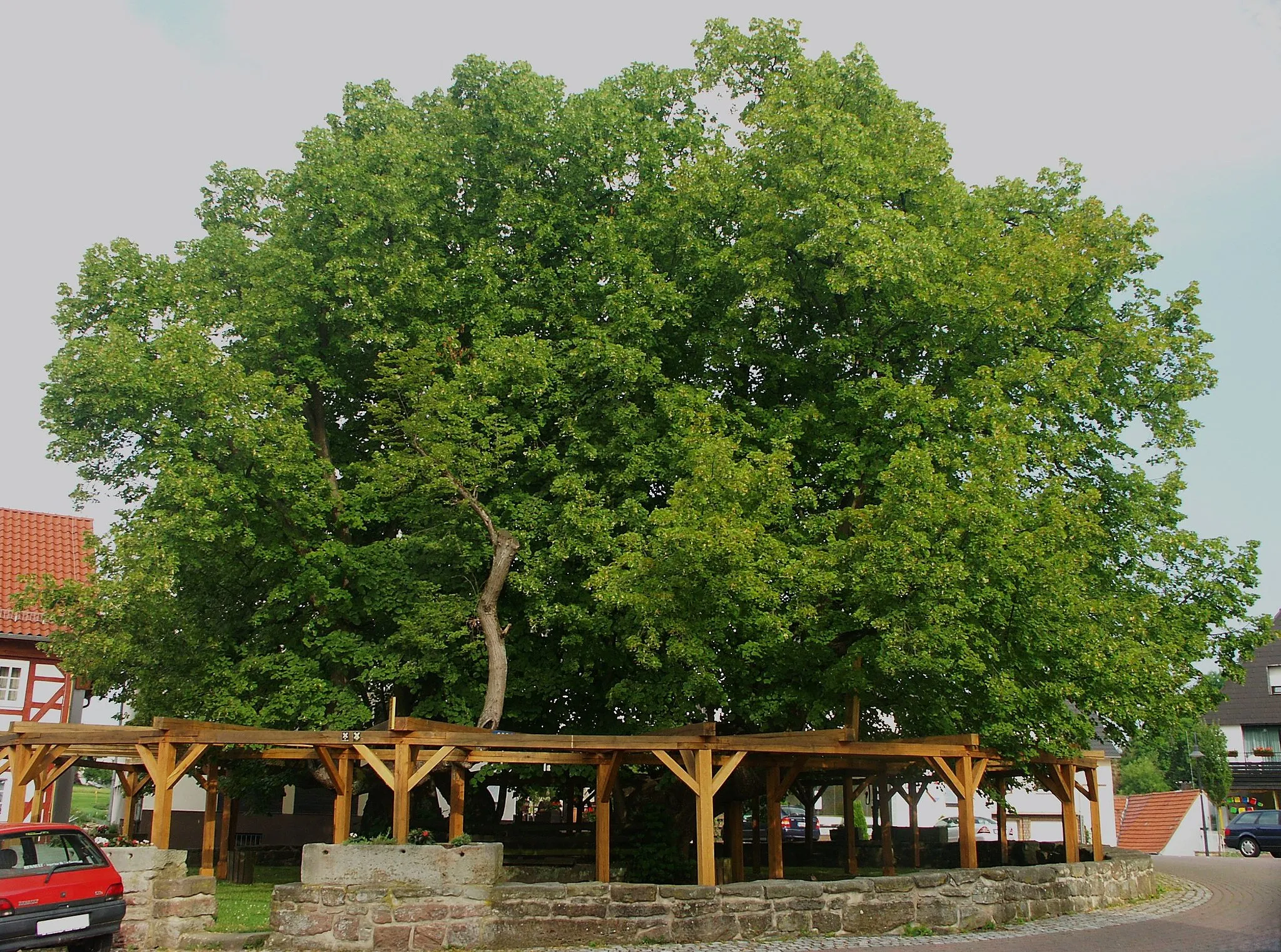
LautenhausenVillageCycle through the charming village of Lautenhausen and experience its tranquil atmosphere.
104 km
104 km
Standorfsberg386 mPeakTake in the panoramic views from Standorfsberg, a hill offering breathtaking vistas.
108 km
108 km
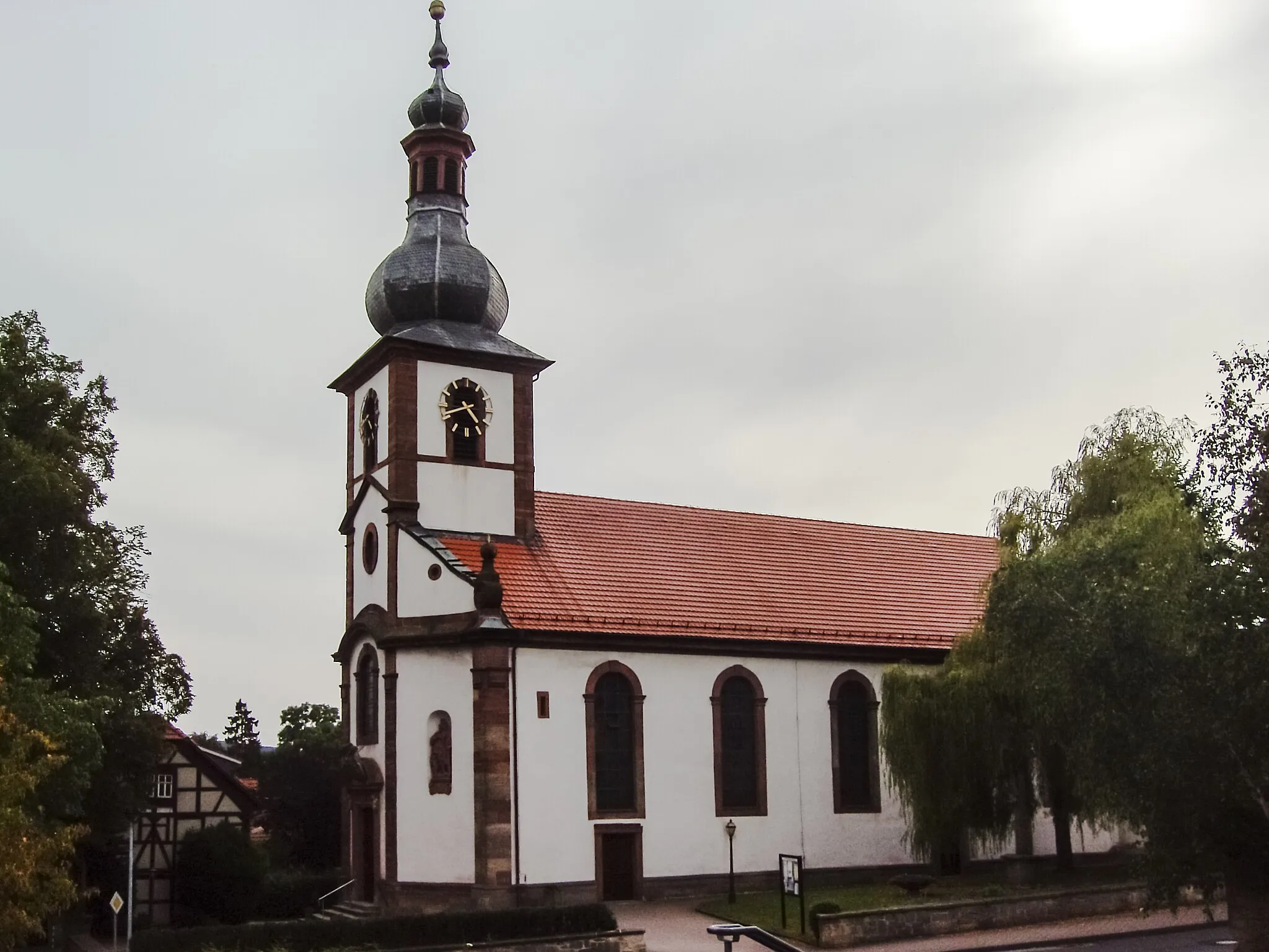
BorschVillageExplore the historic town of Borsch and immerse yourself in its cultural heritage.
108 km
108 km
Finish: Borsch Village centerGeisa: Serene cycling routes for relaxation and adventure
Cycling routes nearby: