Spitze Adventure
A gravel cycling route starting from Georgenthal
A thrilling gravel cycling route with breathtaking viewpoints
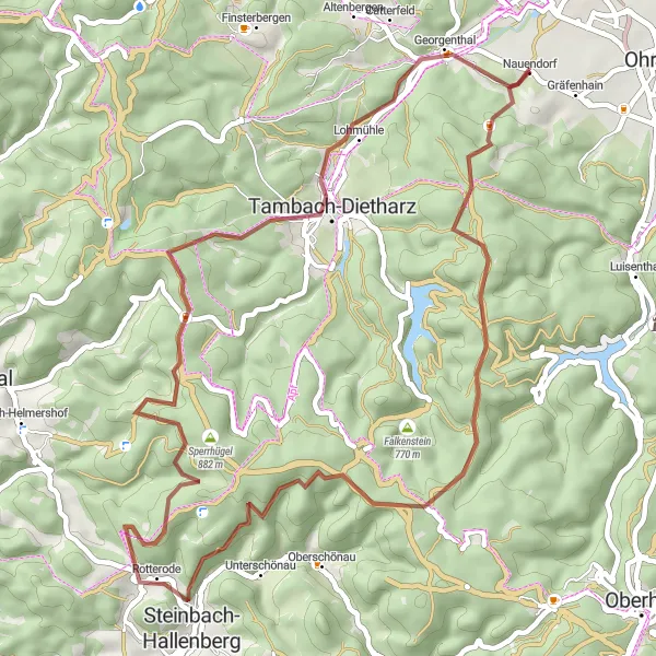
Map
The Spitze Adventure is a thrilling gravel cycling route near Georgenthal. It takes riders on an exciting adventure with challenging terrains and breathtaking viewpoints along the way.
gravel
49 km
1116 m
Savage
Route profile
Highlights on the route
0 km
0 km
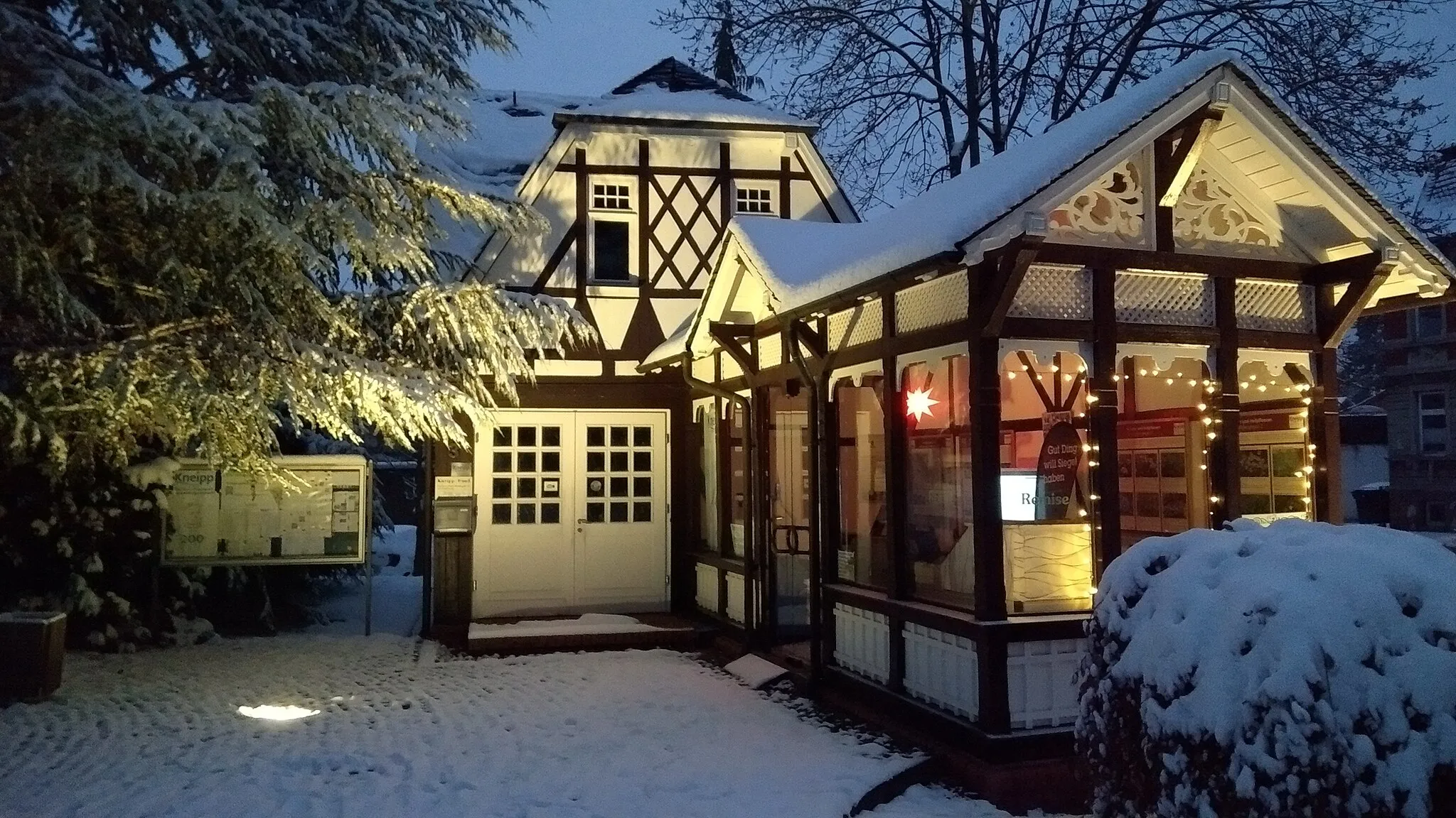
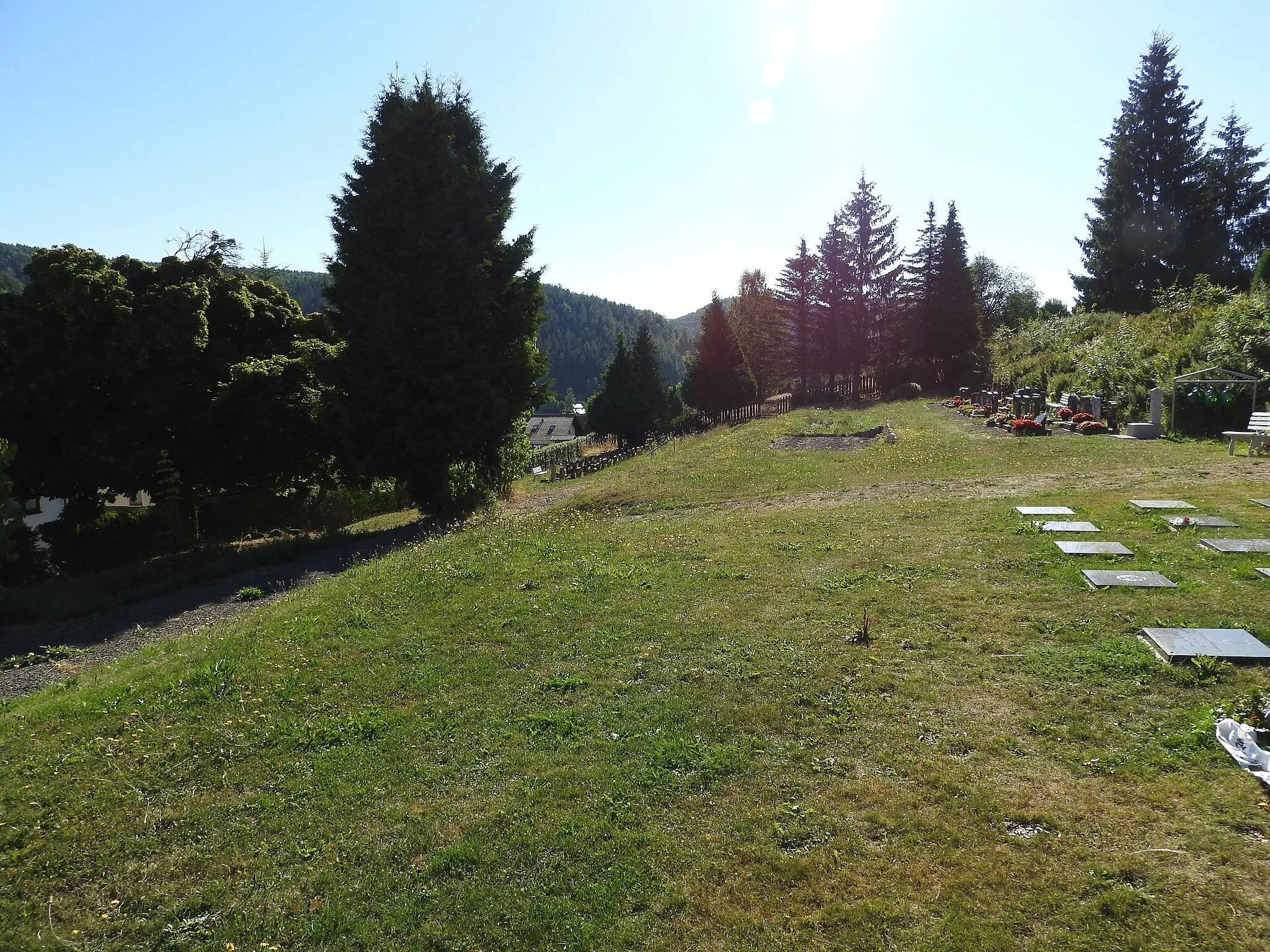
Start: Nauendorf Village centerGeorgenthal: Cycling Paradise in the Heart of Thüringen
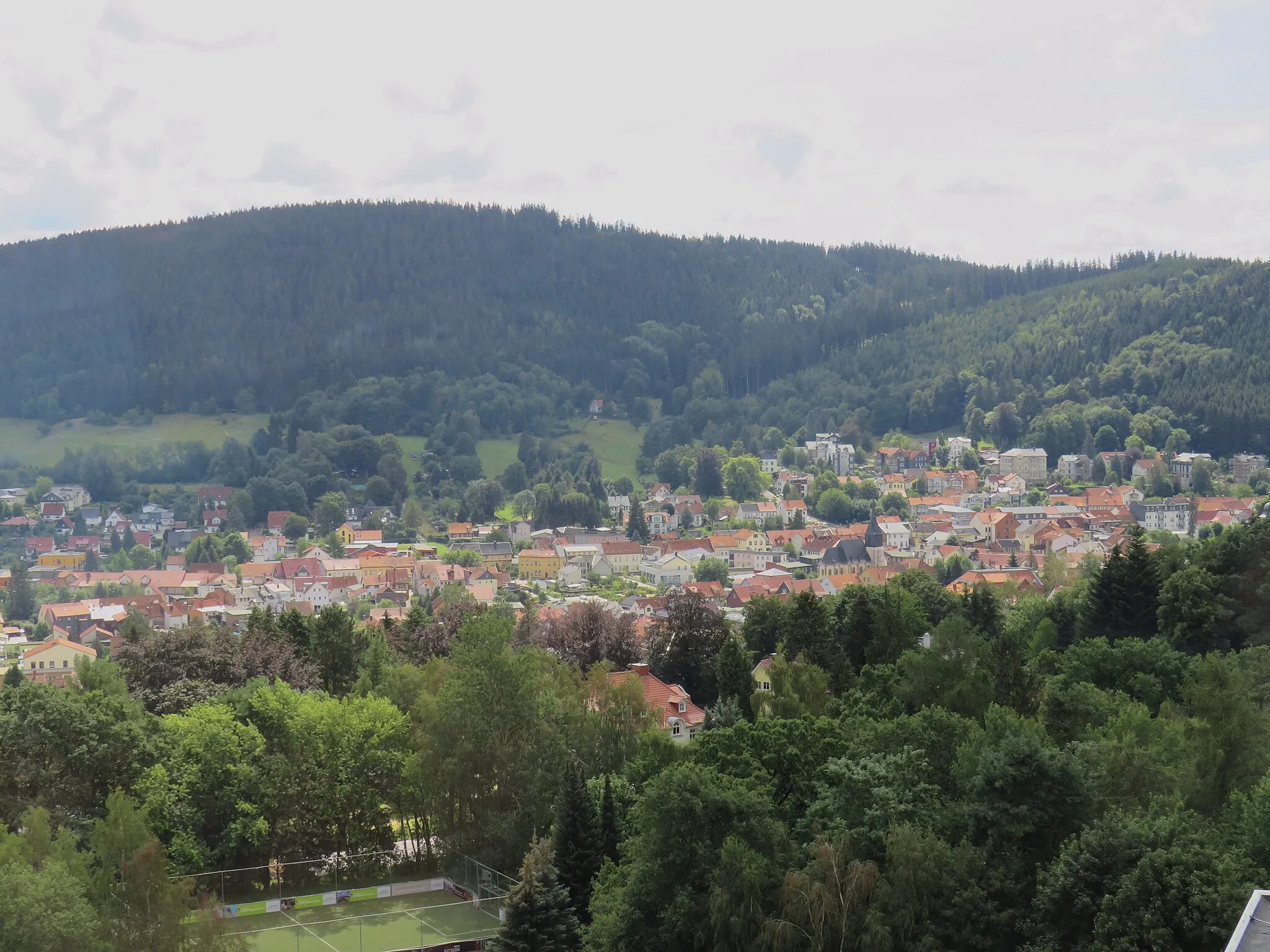
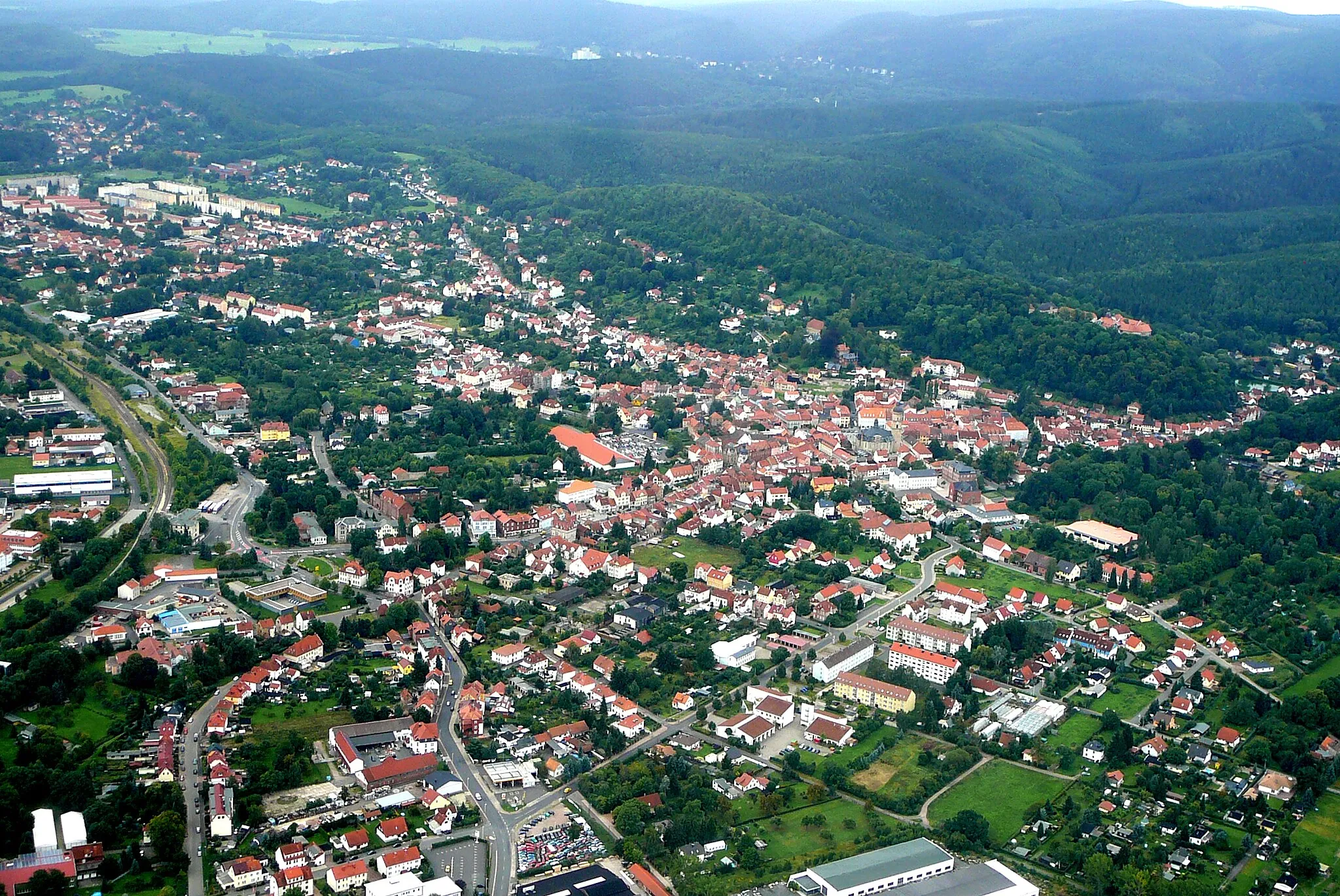
Georgenthal, located in Thüringen, Germany, is a picturesque locality that offers great opportunities for road and gravel cycling. The region boasts scenic landscapes with rolling hills and tranquil forests, providing an ideal backdrop for outdoor exploration. Cyclists can enjoy smooth roads with minimal traffic, making it a peaceful and safe environment for riding. Georgenthal is also well-connected to various cycling routes, including the popular Rennsteig trail, which attracts avid cyclists from all over the world. With its charming atmosphere and cycling-friendly infrastructure, Georgenthal is a fantastic destination for cyclists of all levels.7 km
7 km
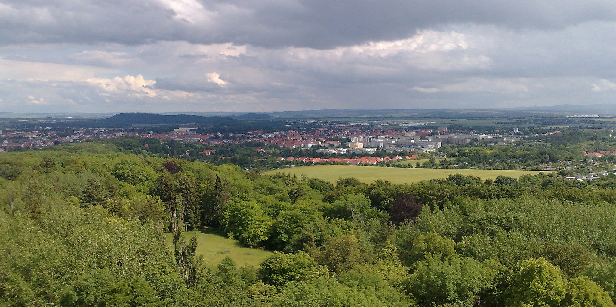
Spitze742 mPeakSpitze is a stunning viewpoint offering breathtaking panoramic views of the surrounding landscapes.
13 km
13 km
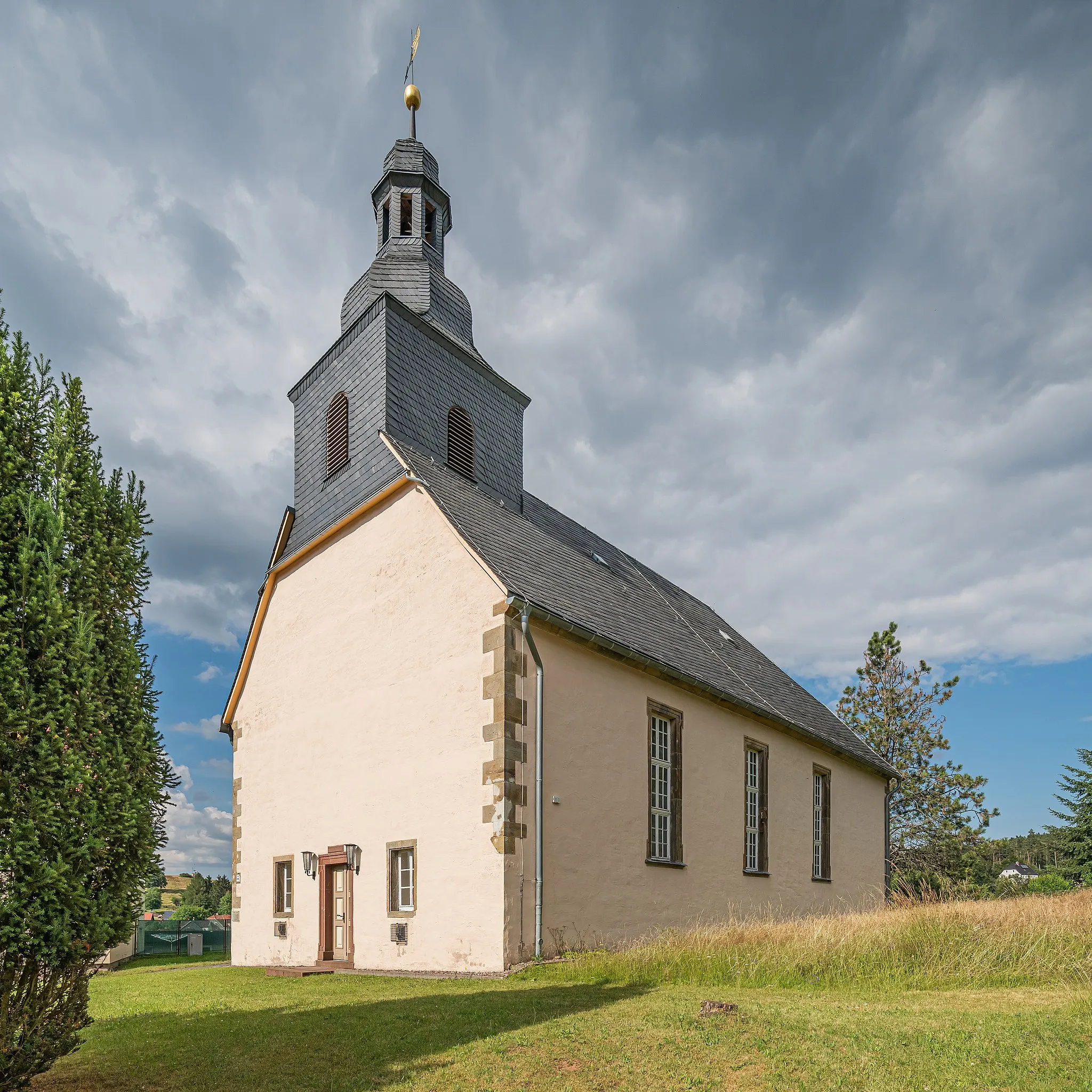
Schutzhütte "Kamel"ShelterThe Schutzhütte "Kamel" is a charming mountain hut surrounded by picturesque nature.
23 km
23 km
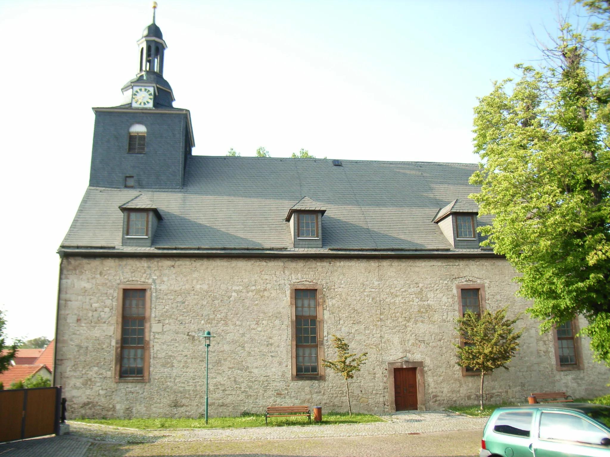
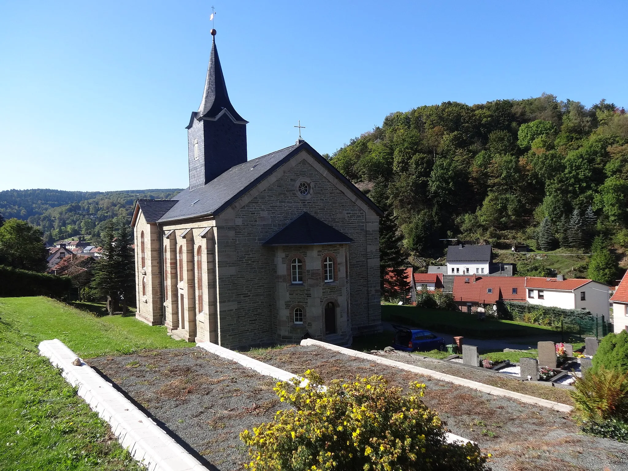
RotterodeVillageRotterode is a delightful village with traditional houses and scenic countryside.
30 km
30 km
Kernberg752 mPeakKernberg is a spectacular hilltop offering sweeping vistas of the surrounding area.
41 km
41 km
WasserradWaterfallWasserrad is a captivating waterfall attraction known for its natural beauty and tranquility.
44 km
44 km
Knie489 mPeakKnie is a charming rural area with rolling hills and picturesque landscapes.
49 km
49 km
Finish: Nauendorf Village centerGeorgenthal: Cycling Paradise in the Heart of Thüringen
Cycling routes nearby: