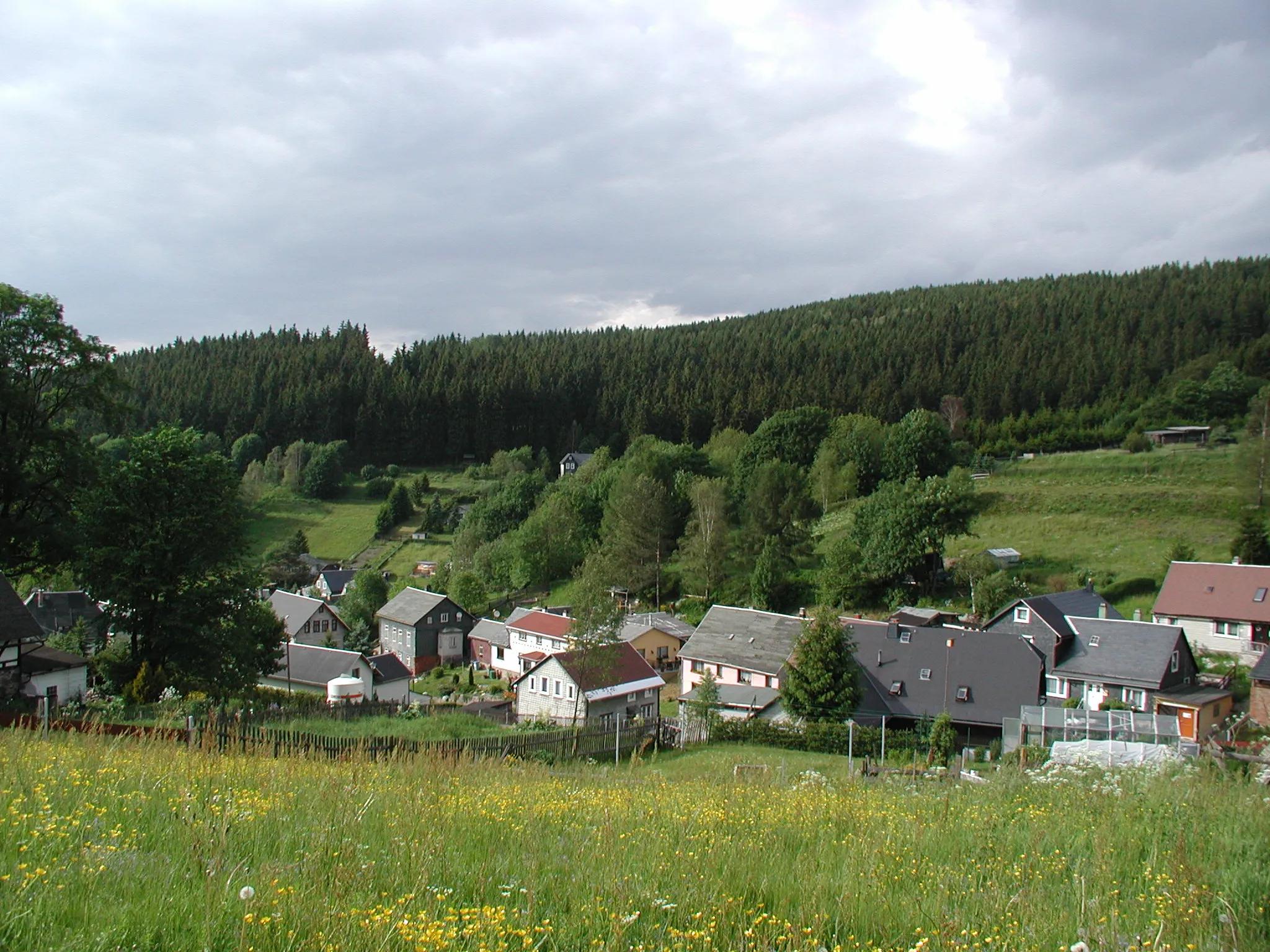
Scenic Cycling Haven in Thüringen
Cycling routes from Grossbreitenbach
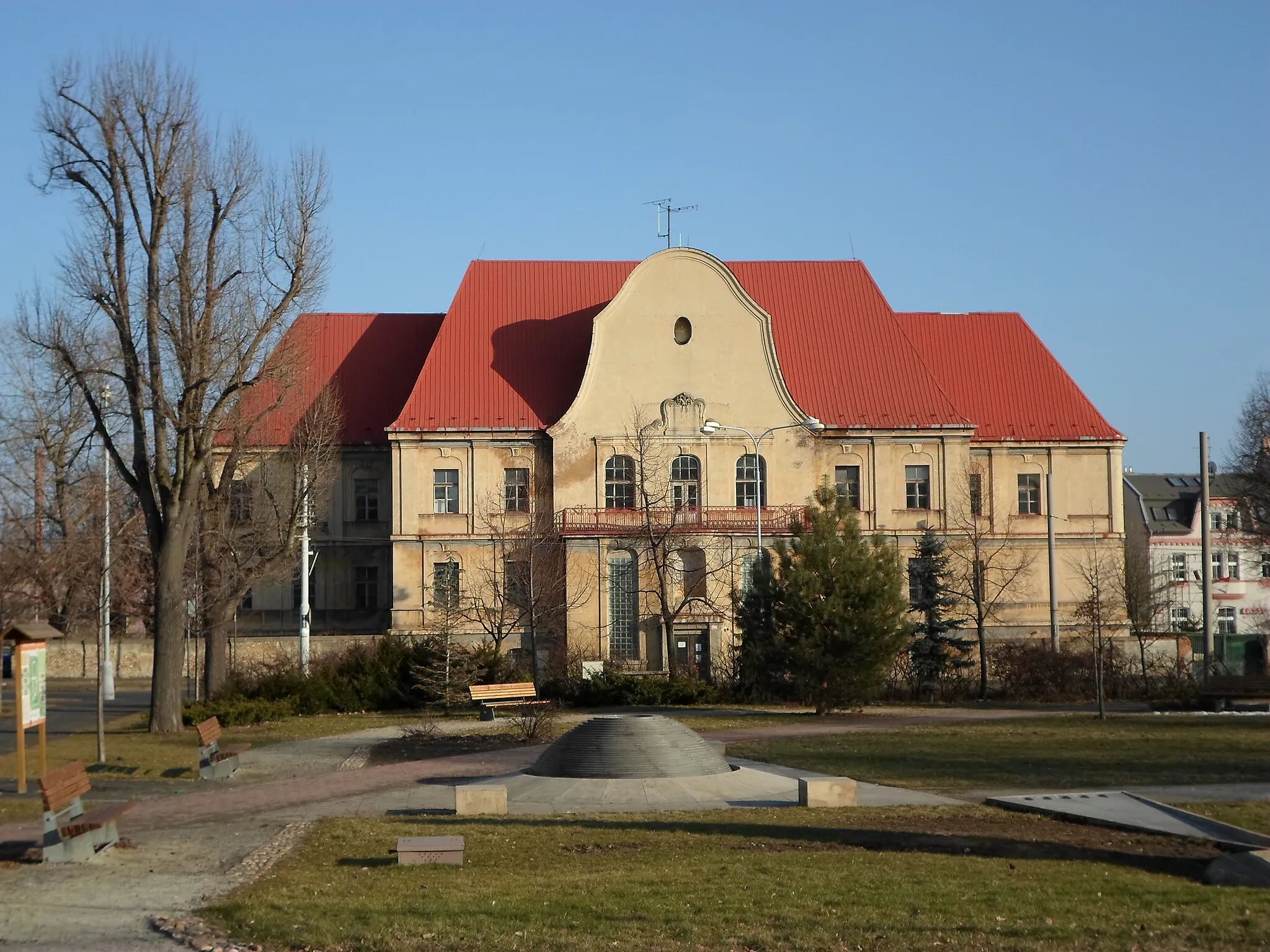
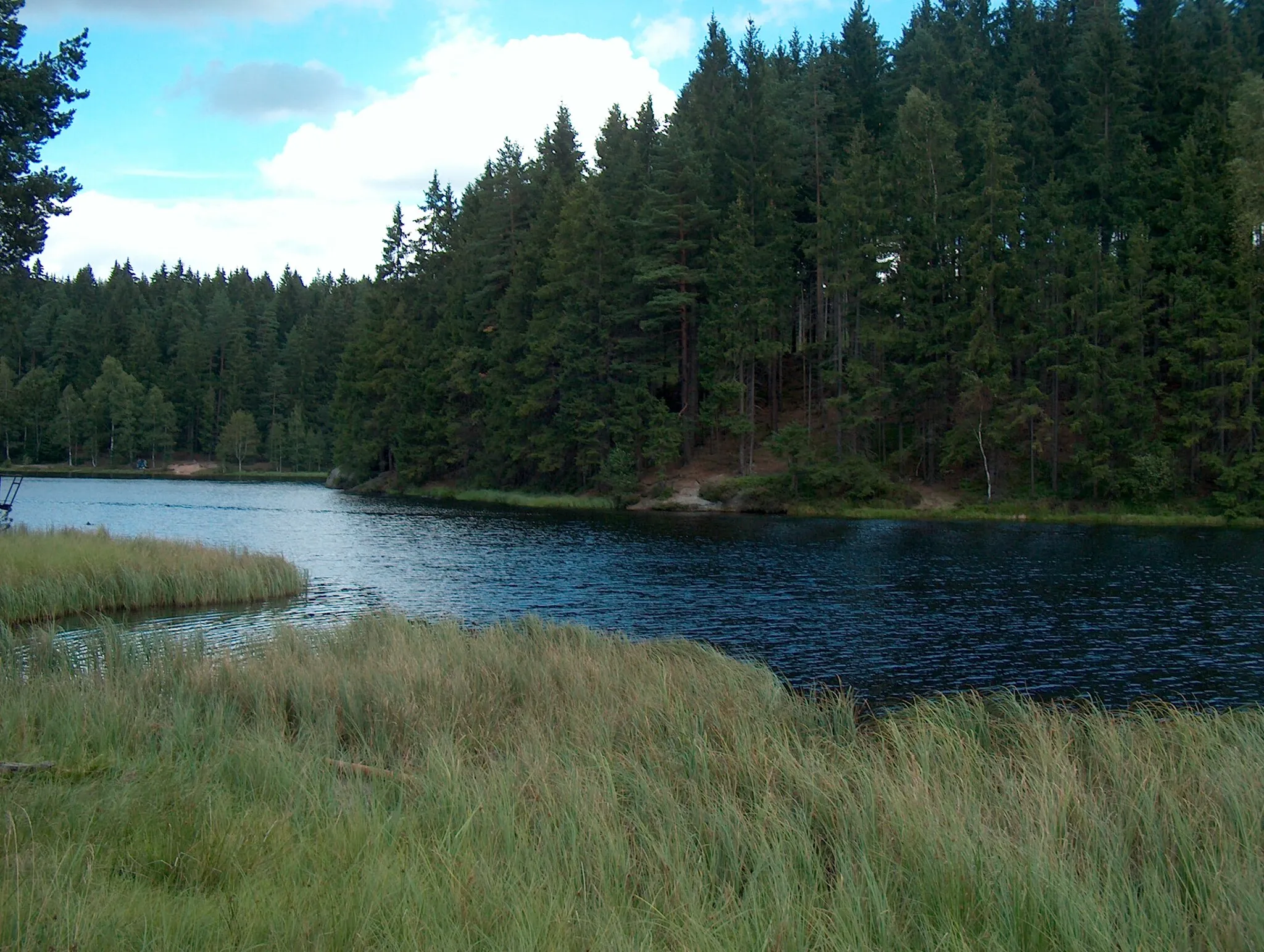
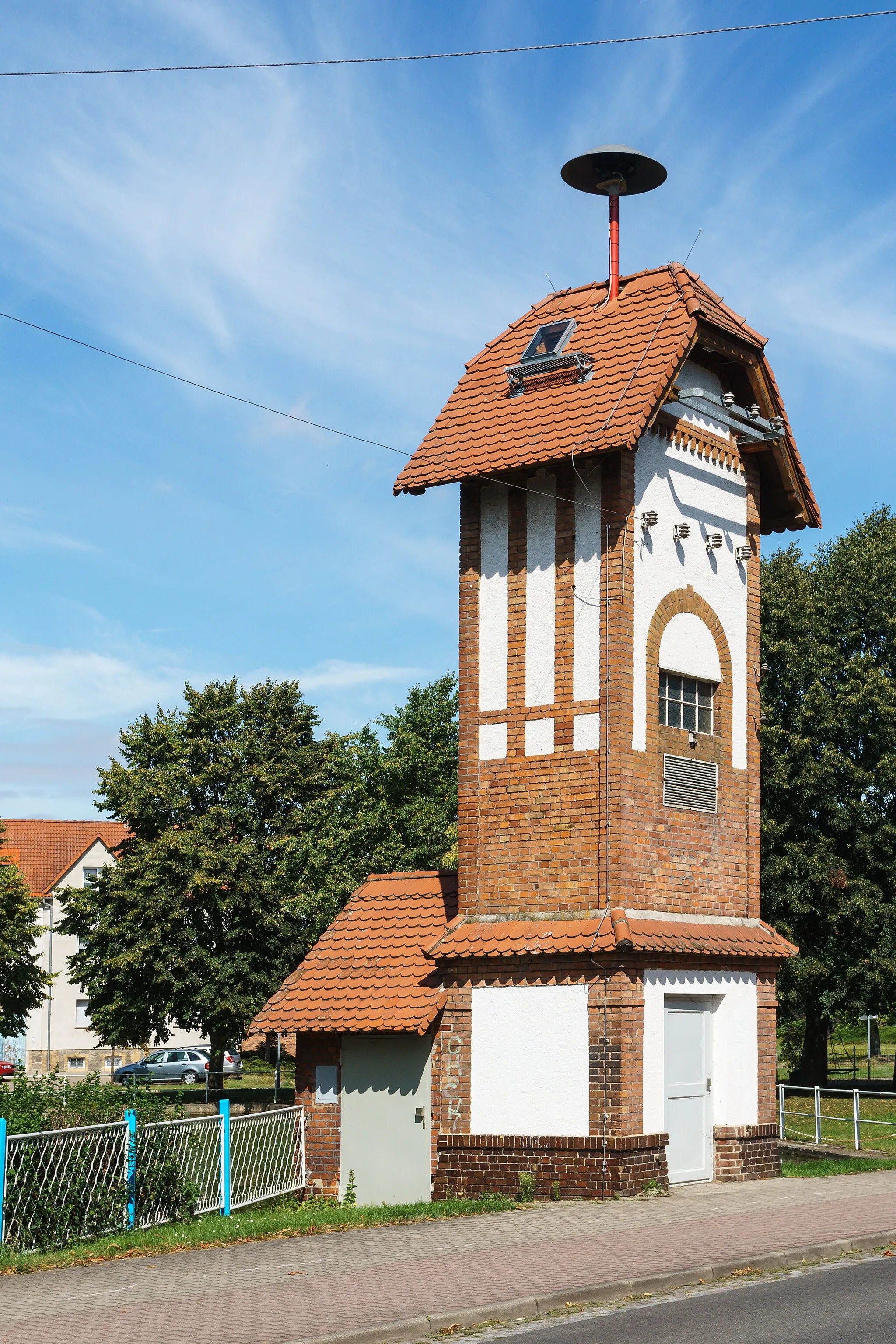
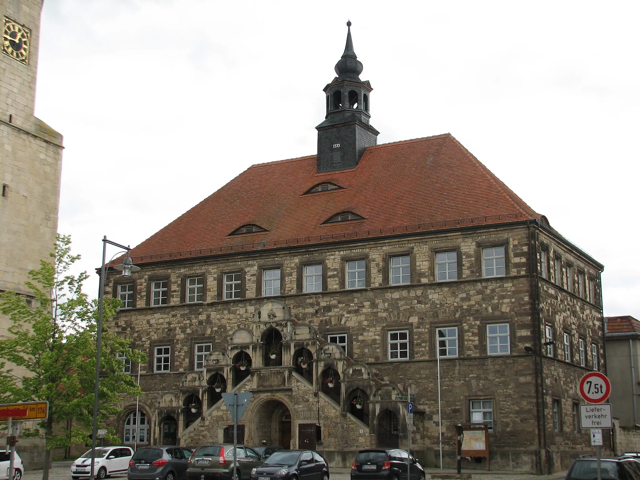
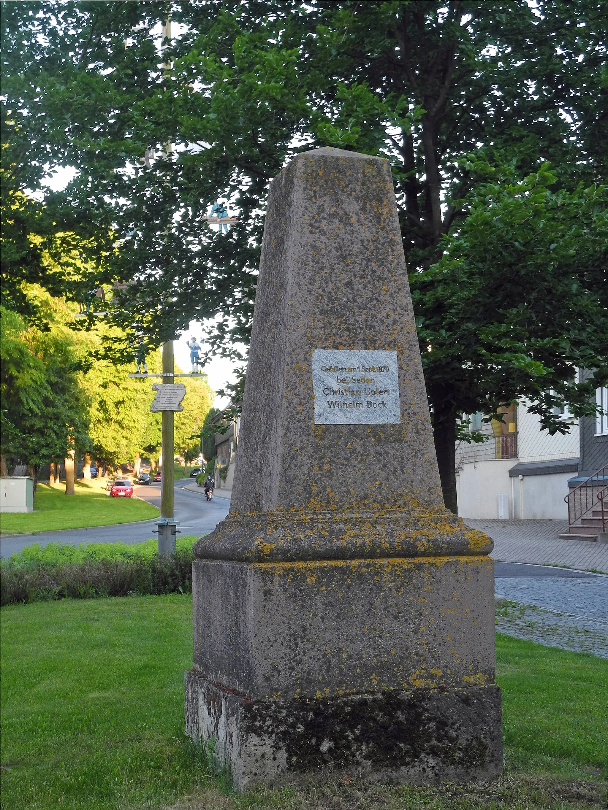
Großbreitenbach, situated in the Thüringen region of Germany, is a hidden gem for road and gravel cyclists. The locality offers a variety of cycling routes, ranging from leisurely rides through the countryside to challenging climbs. With its well-maintained roadways and scenic landscapes, Großbreitenbach provides an ideal setting for an enjoyable cycling adventure. The area is home to stunning viewpoints and charming villages, adding to its allure for tourists. With its excellent cycling infrastructure and natural beauty, Großbreitenbach scores high with a ranking of 4 out of 5 for cyclists.
Embark on a picturesque road journey through captivating landscapes near Großbreitenbach
Experience the enchantment of the region's scenic beauty on this 56-kilometer road cycling route near Großbreitenbach. With an ascent of 1066 meters, this journey promises breathtaking vistas and memorable moments. Traverse through scenic villages, verdant hills, and serene forests as you soak in the tranquility of the surroundings. Discover hidden gems along the way, from charming historical sites to awe-inspiring natural wonders.

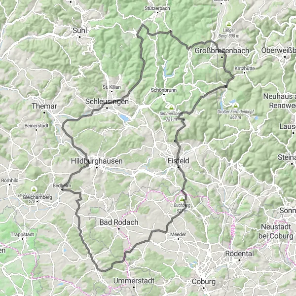
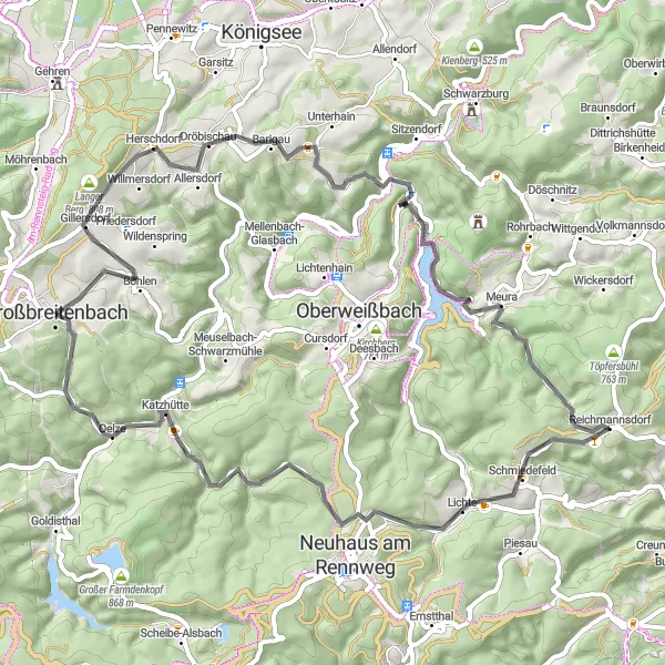
Embark on an epic road cycling adventure through diverse landscapes near Großbreitenbach
Unleash your passion for road cycling on this adrenaline-pumping route near Großbreitenbach. With a distance of 133 kilometers and an ascent of 2087 meters, this trail promises a thrilling challenge for experienced riders. Immerse yourself in picturesque villages, dense forests, and awe-inspiring hills as you push your boundaries on this epic journey. Enjoy breathtaking views, discover hidden gems, and soak in the cultural richness of the region along the way.
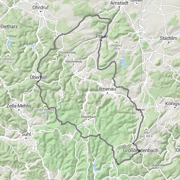
Thüringer Forest Road Adventure
A thrilling road cycling adventure through the stunning Thüringer Forest
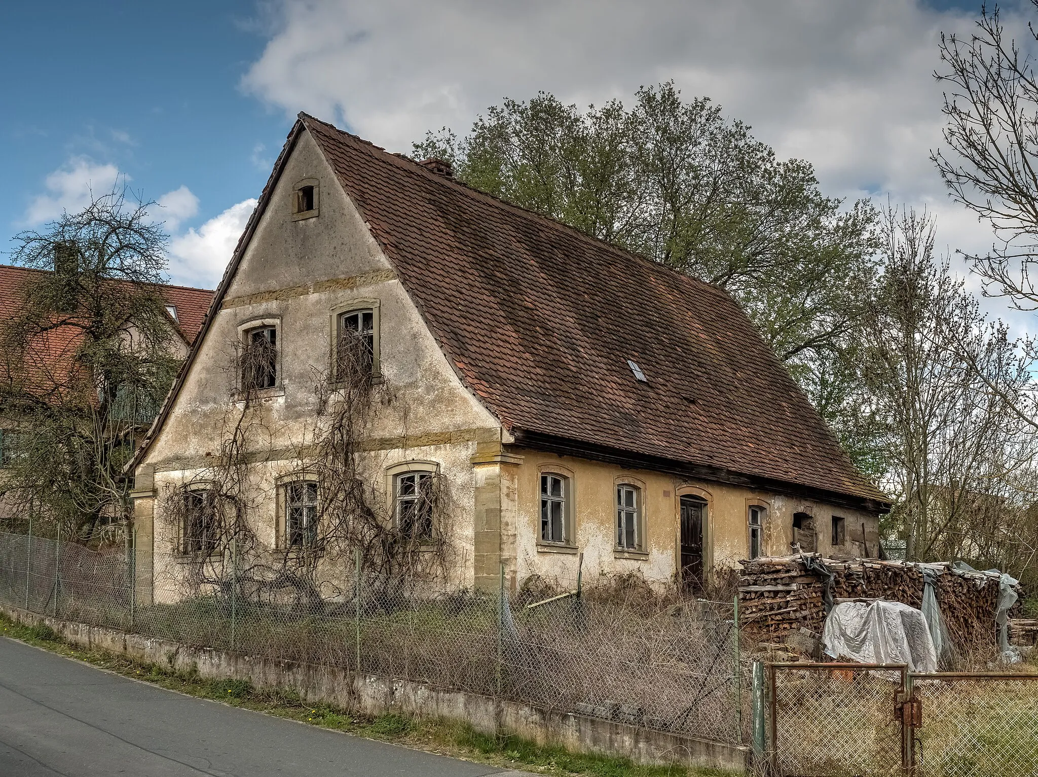
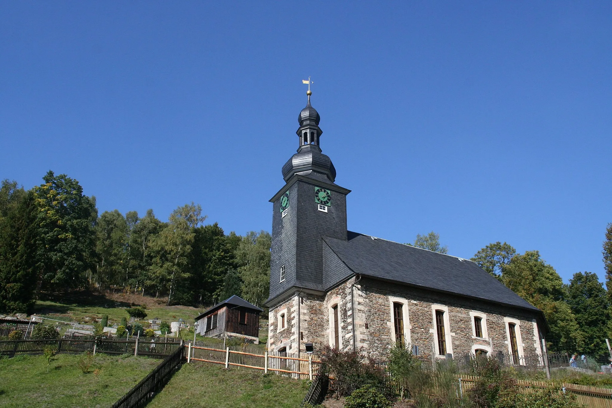
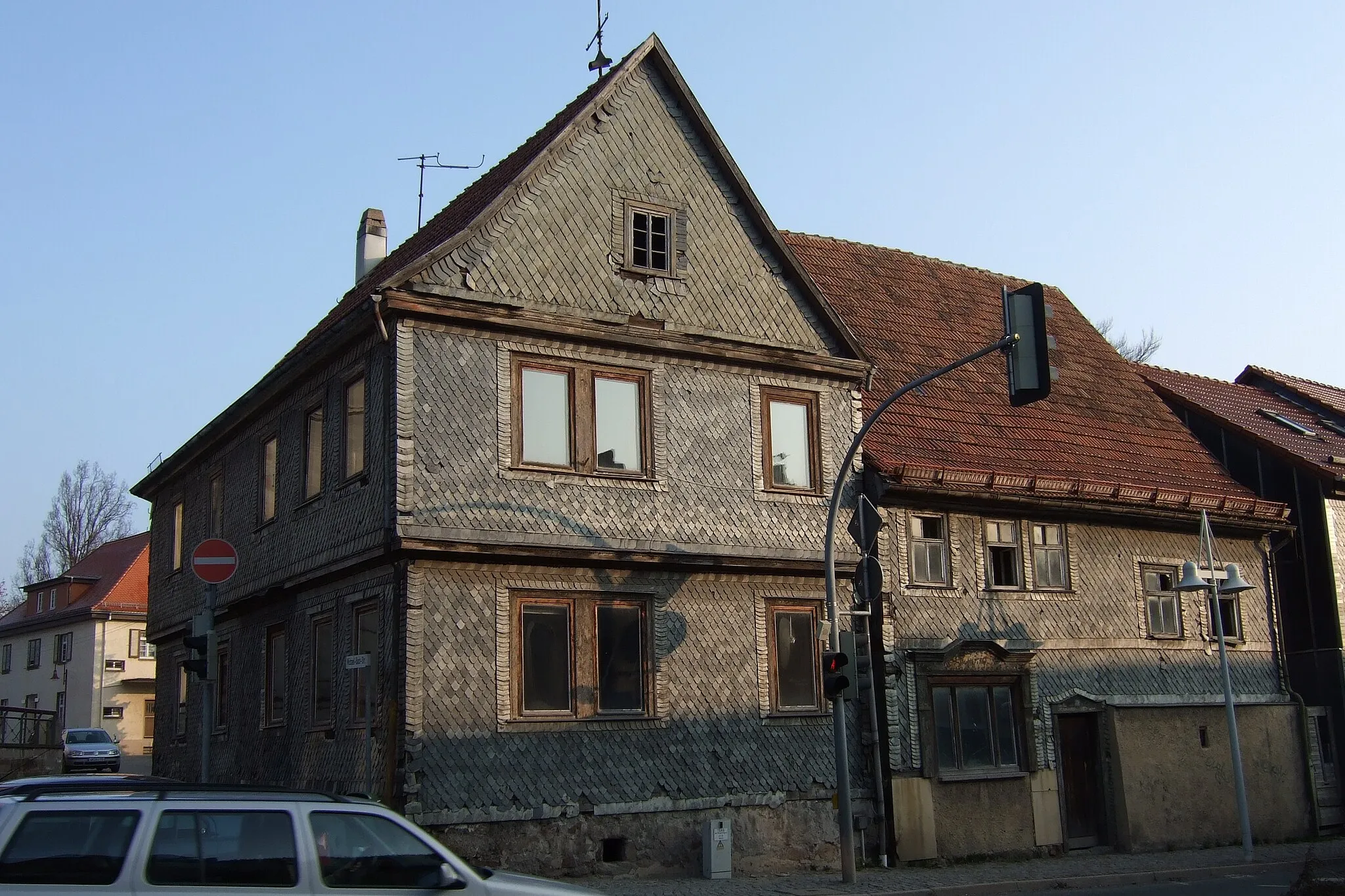
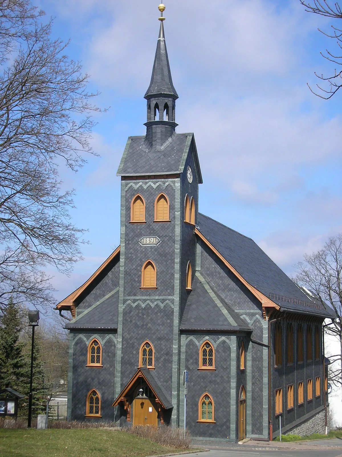
The Thüringer Forest Road Adventure takes you on a thrilling road cycling journey through the stunning Thüringer Forest in Thüringen, Germany. With a total distance of 131 km and an ascent of 1824 m, this route offers a challenging yet rewarding experience for road cyclists. Starting near Großbreitenbach, you will ride along scenic roads, pass through picturesque villages, and conquer challenging hills. The highlight of this route is Oelze, a village known for its impressive half-timbered houses. Other highlights include Hinterer Schmiedebacher Kopf, Einsiedel, Roten Hügel, Breitenau, Gerichtsberg, and Völkershausen. The Thüringer Forest Road Adventure offers breathtaking views and a memorable cycling experience.
Rennsteig Gravel Escape
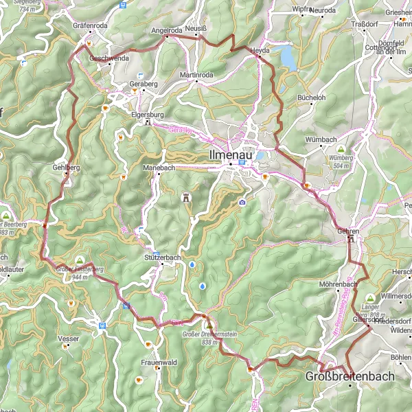
Scenic gravel route to explore nature and rural landscapes along the Rennsteig trail
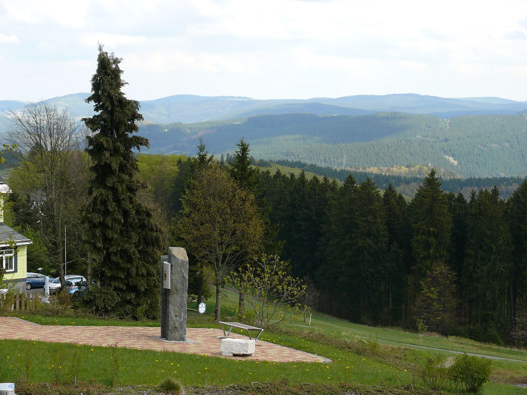
The Rennsteig Gravel Escape is a scenic gravel cycling route that allows you to immerse yourself in the beauty of nature and rural landscapes along the famous Rennsteig trail in Thüringen. With a total distance of 73 km and an ascent of 1453 m, this route offers a moderate challenge for gravel riders. Starting near Großbreitenbach, you will venture through charming villages, dense forests, and open meadows. The highlight of this route is the Schmücke, a popular lookout point with panoramic views. Other highlights include Neustadt am Rennsteig, Steiniger Hügel, Angelroda, and Gehren. The Rennsteig Gravel Escape is perfect for gravel enthusiasts seeking a peaceful and scenic escape.
Schwarzatal Valley Adventure
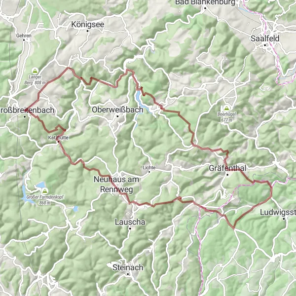
Bike through the scenic Schwarzatal valley and explore ancient villages
Embark on an exciting adventure through the picturesque Schwarzatal valley in Thüringen, Germany. This gravel cycling route offers stunning views of the surrounding forested hills and takes you through charming villages steeped in history. The route is suitable for experienced cyclists and covers a total distance of 85 kilometers with an elevation gain of 2269 meters.
Gillersdorf Hills and Beyond

Explore the hilly landscapes of Gillersdorf and discover hidden viewpoints
Get ready for a thrilling gravel cycling adventure through the hilly landscapes surrounding Gillersdorf in Thüringen, Germany. This 72-kilometer route will challenge even well-trained amateurs with an ascent of 1438 meters. Along the way, you'll have the opportunity to visit historical sites, enjoy stunning views, and immerse yourself in nature.
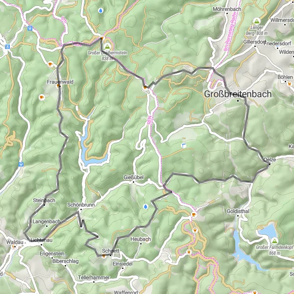
Embark on a thrilling road cycling adventure through diverse landscapes near Großbreitenbach
Experience the thrill of road cycling through a tapestry of enchanting scenery near Großbreitenbach. This 62-kilometer route provides an exhilarating challenge with an ascent of 1417 meters. Immerse yourself in the region's natural beauty as you cross dense forests and traverse rolling hills. Along the way, discover fascinating highlights that showcase the cultural and historical richness of the area.

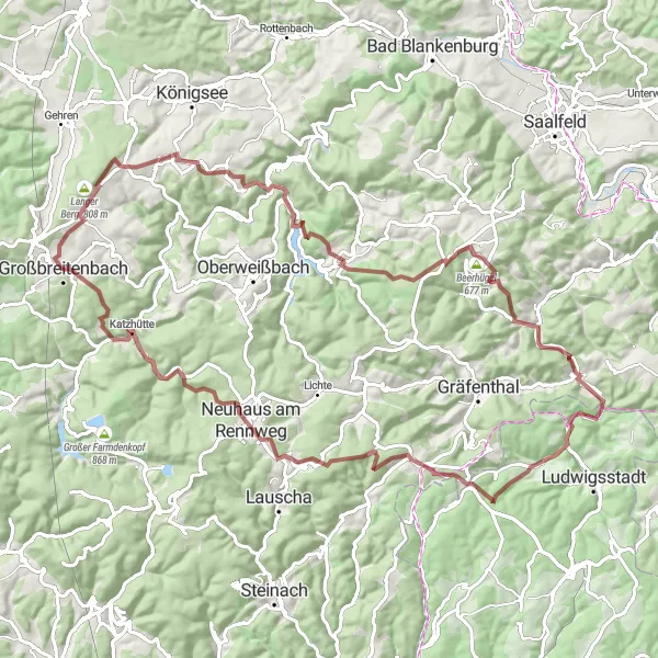
Off-road cycling adventure on the famous Rennsteig trail
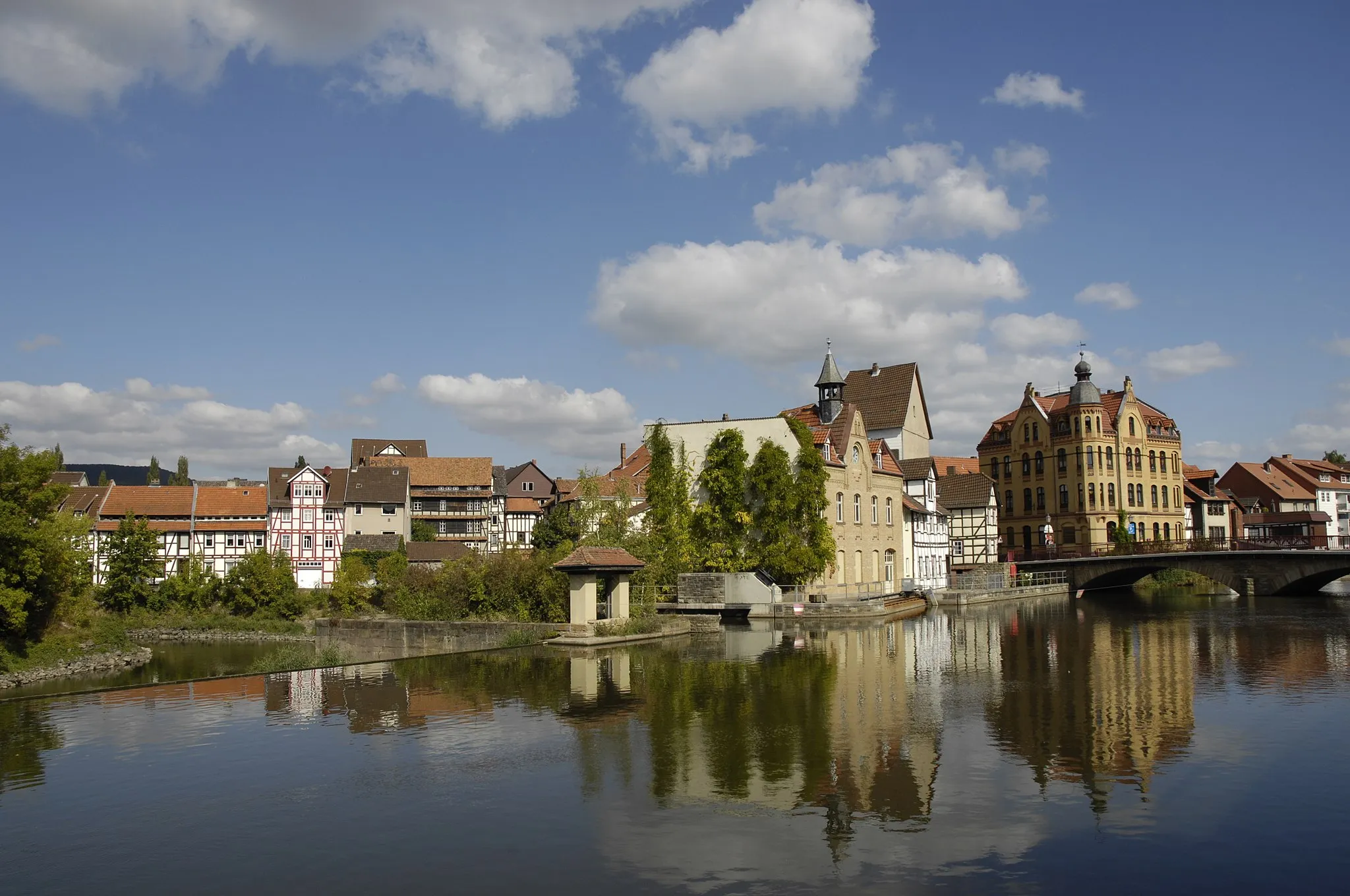
The Rennsteig Gravel Adventure is an off-road cycling route that takes you on a thrilling journey along the famous Rennsteig trail in Thüringen. With a total distance of 105 km and an ascent of 1854 m, this route offers a challenging yet rewarding experience for gravel riders. Starting near Großbreitenbach, you will ride through rugged terrain, dense forests, and remote mountain villages. The highlight of this route is the Masserberg, a picturesque village with stunning views of the Thuringian Forest. Other highlights include the Rennsteigwarte, Poppenwind, Neuhöhe, and Mittelberger Berg. The Rennsteig Gravel Adventure is a must-do for gravel enthusiasts looking to explore the beauty of the Rennsteig trail.
Challenging road cycling route along the scenic Rennsteig trail
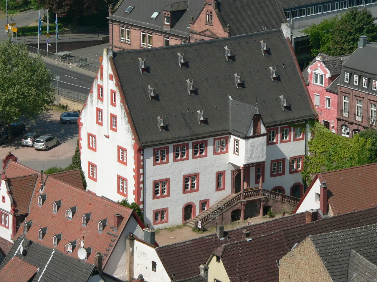
The Rennsteig Road Glory is a challenging road cycling route that takes you along the scenic Rennsteig trail in Thüringen. With a total distance of 98 km and an ascent of 1368 m, this route offers a perfect mix of beautiful landscapes and challenging hills. Starting near Großbreitenbach, you will ride through picturesque villages, dense forests, and breathtaking viewpoints. The highlight of this route is the Großer Hundskopf, a stunning mountain peak offering panoramic views of the region. Other highlights include the Schmücke, Wadeberg, Martinroda, and Schloss Gehren. The Rennsteig Road Glory is a must-do for road cycling enthusiasts seeking a challenging and rewarding ride.
Discover the stunning nature and challenging gravel terrain near Großbreitenbach
Embark on a thrilling gravel adventure through the majestic landscapes near Großbreitenbach. This route takes you through enchanting villages, dense forests, and picturesque hills. With a total distance of 89 kilometers and an ascent of 2044 meters, this trail promises a challenging and rewarding experience for gravel enthusiasts. Be prepared for jaw-dropping views, peaceful natural surroundings, and unique highlights along the way.
Cycling routes nearby:

Nearby regions: