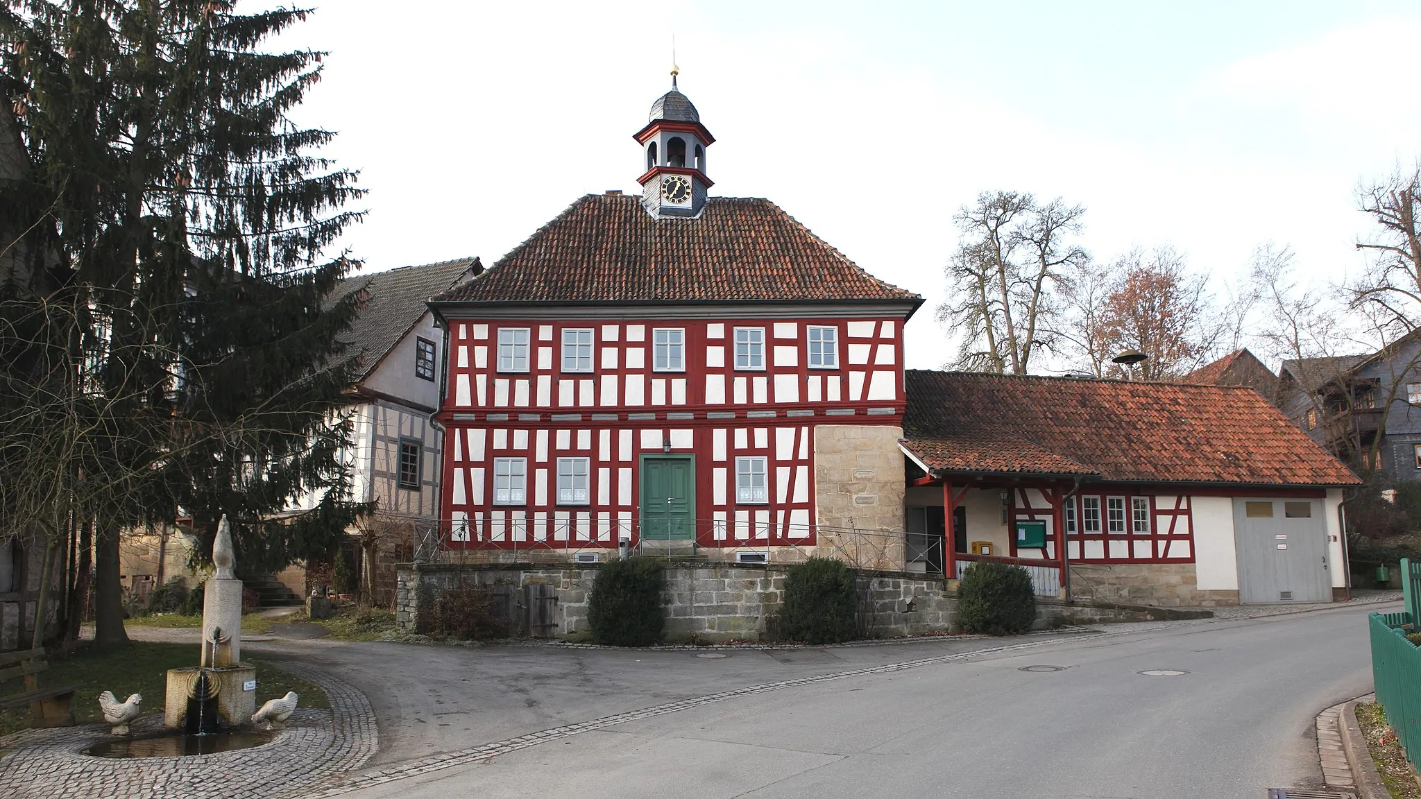
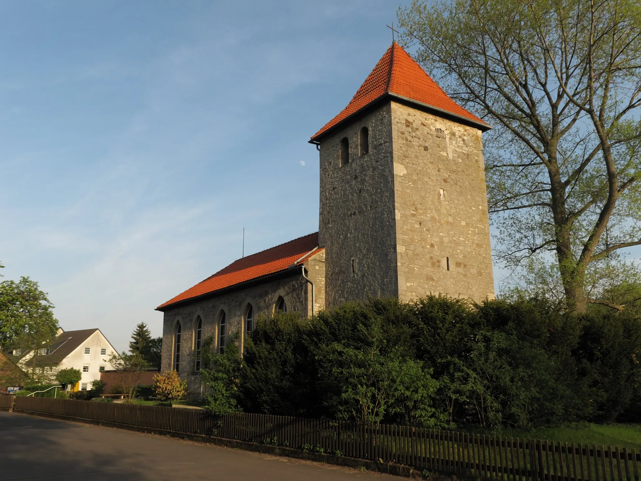
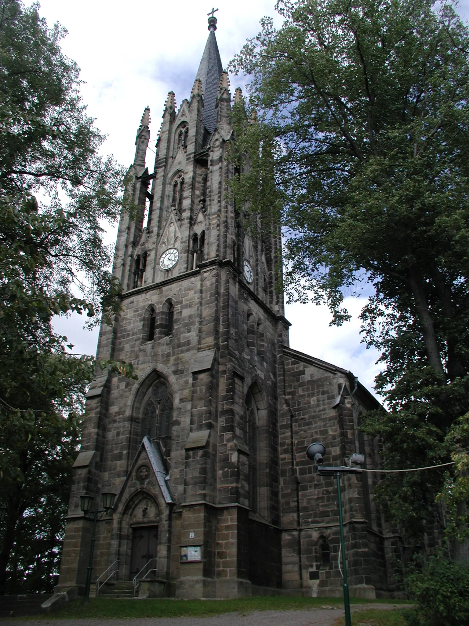
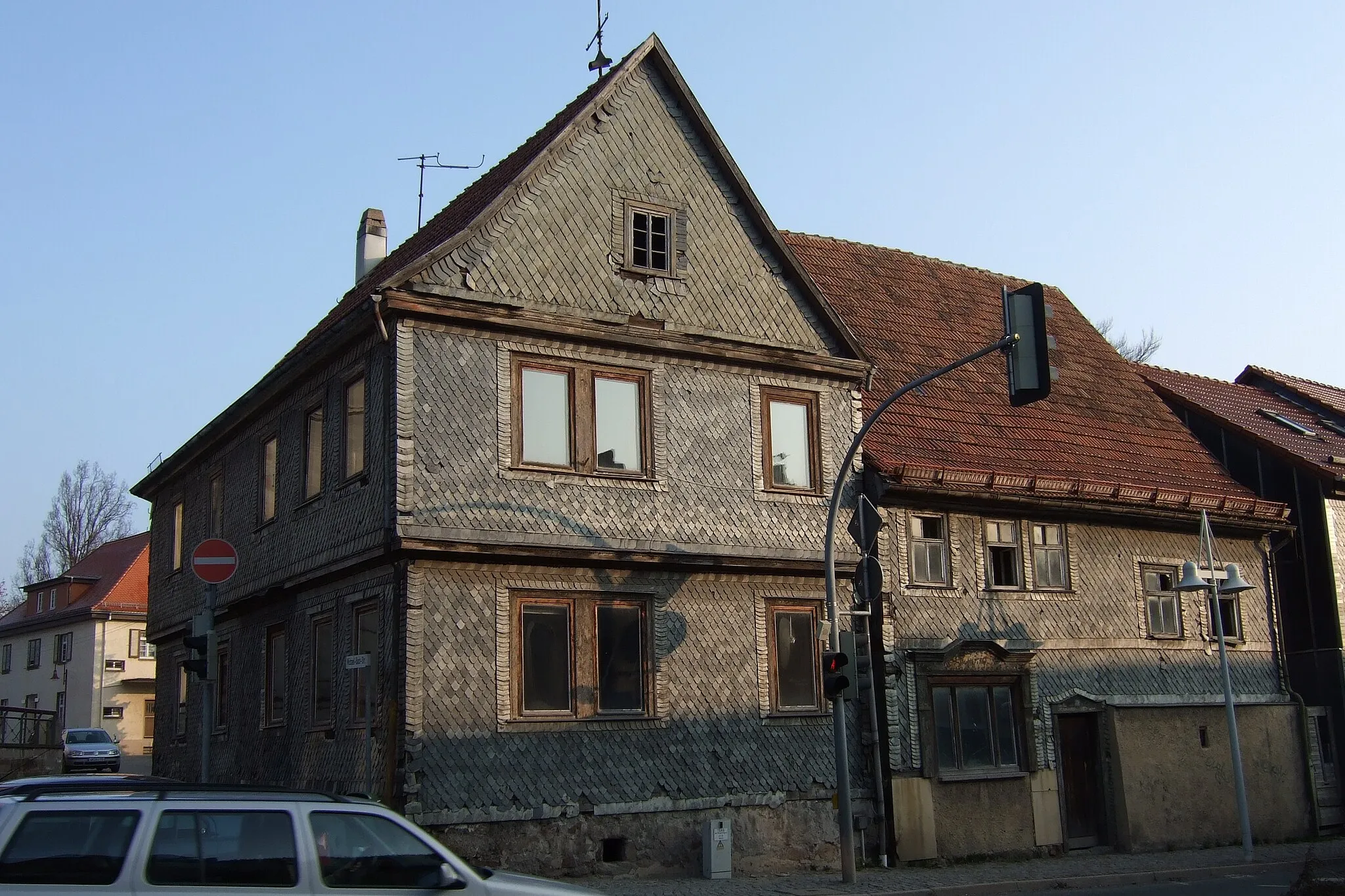
Conquer the legendary Höllriot climb and enjoy the scenic beauty of Oberweißbach in Thüringen.
Cycling routes from Oberweissbach
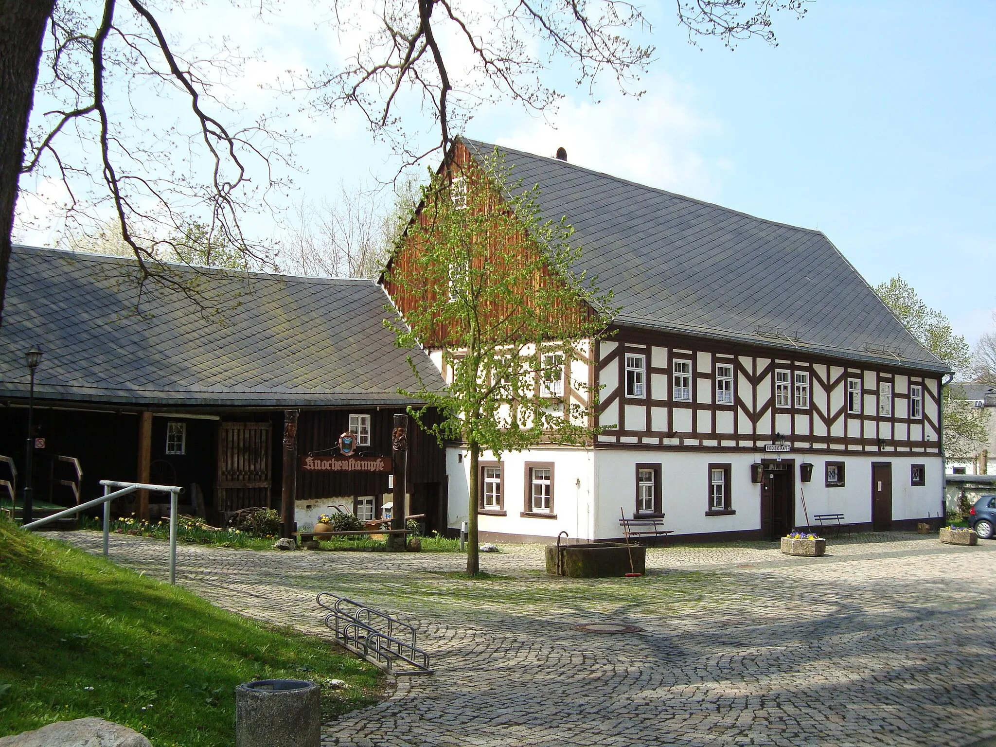
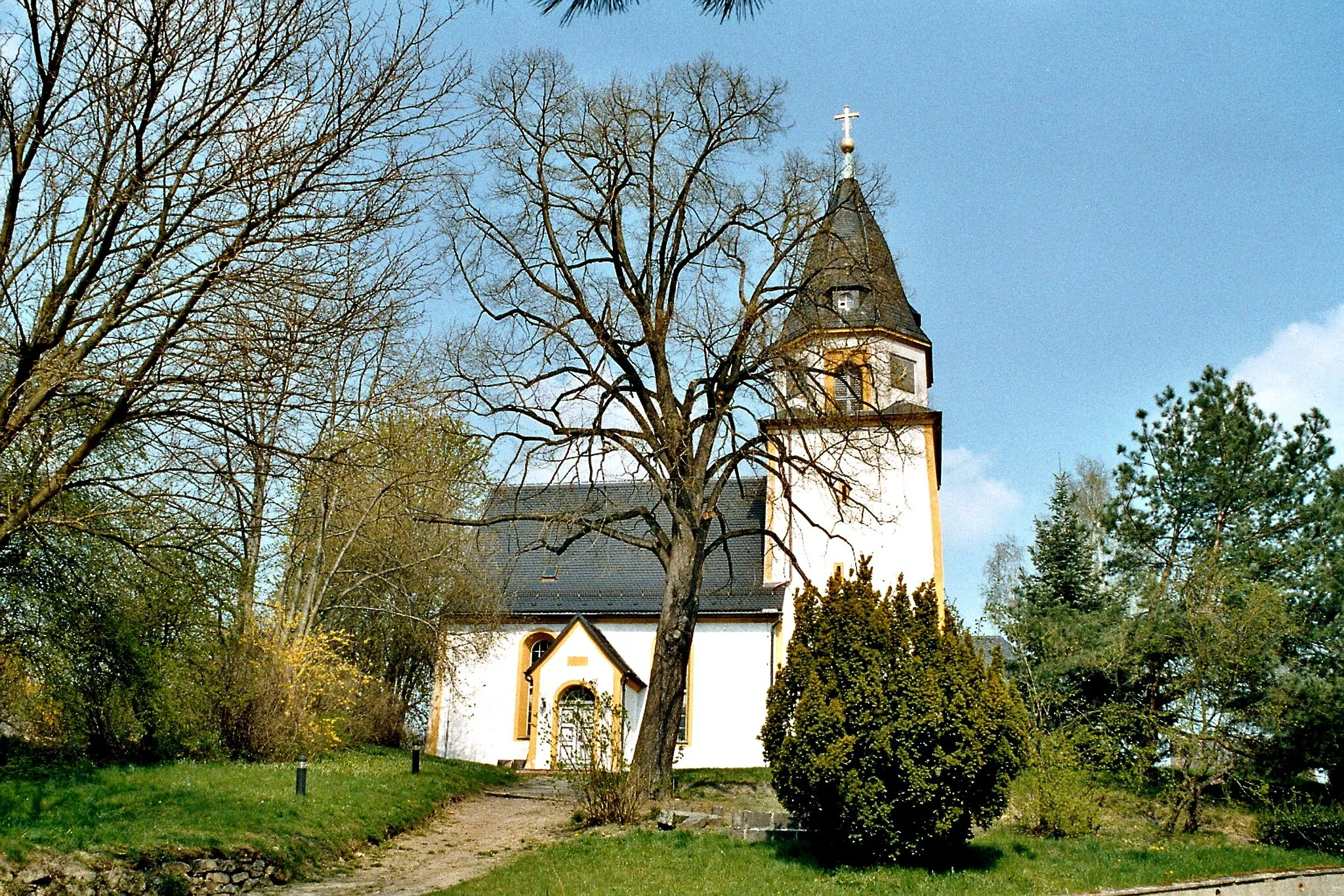
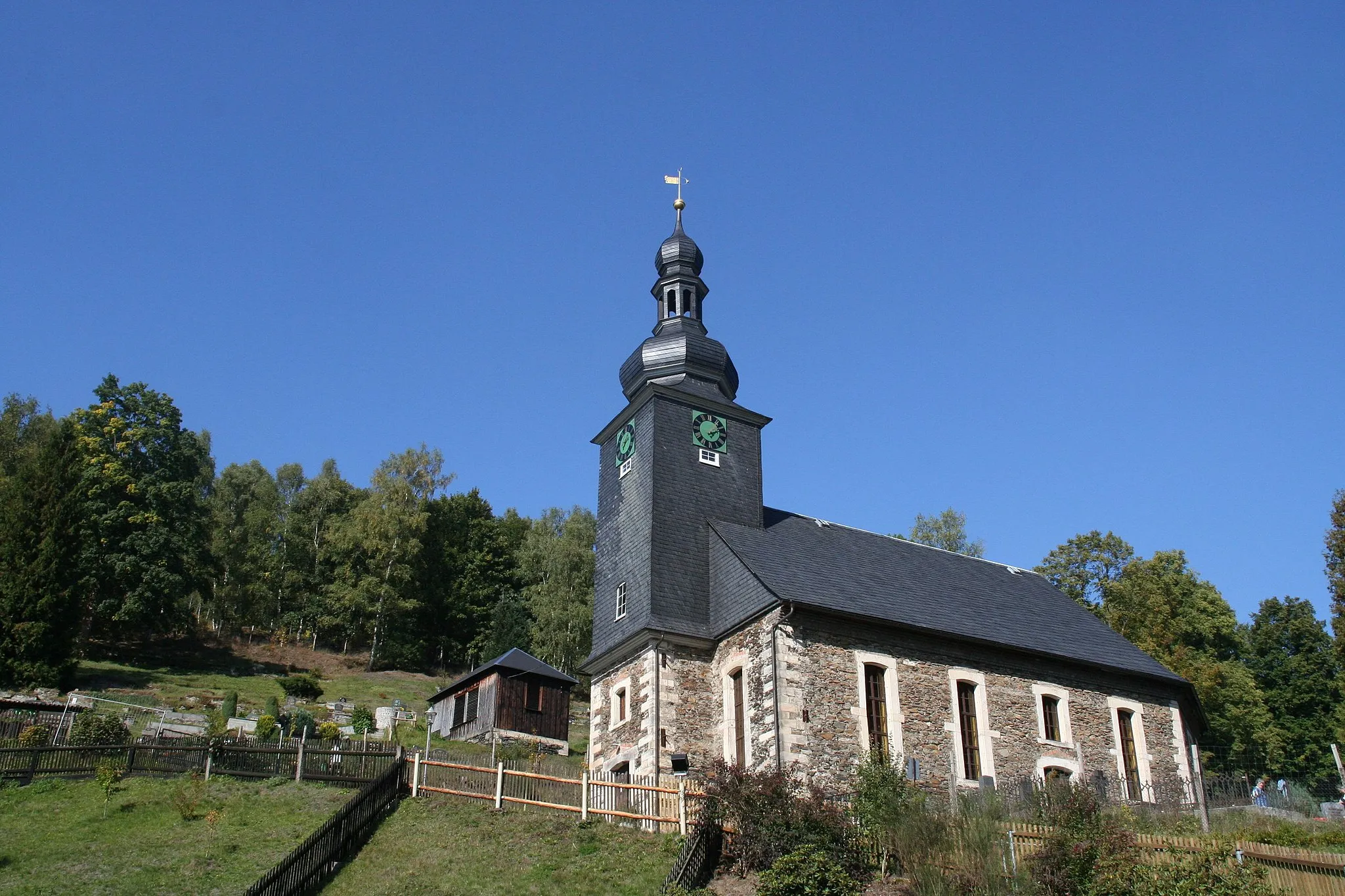
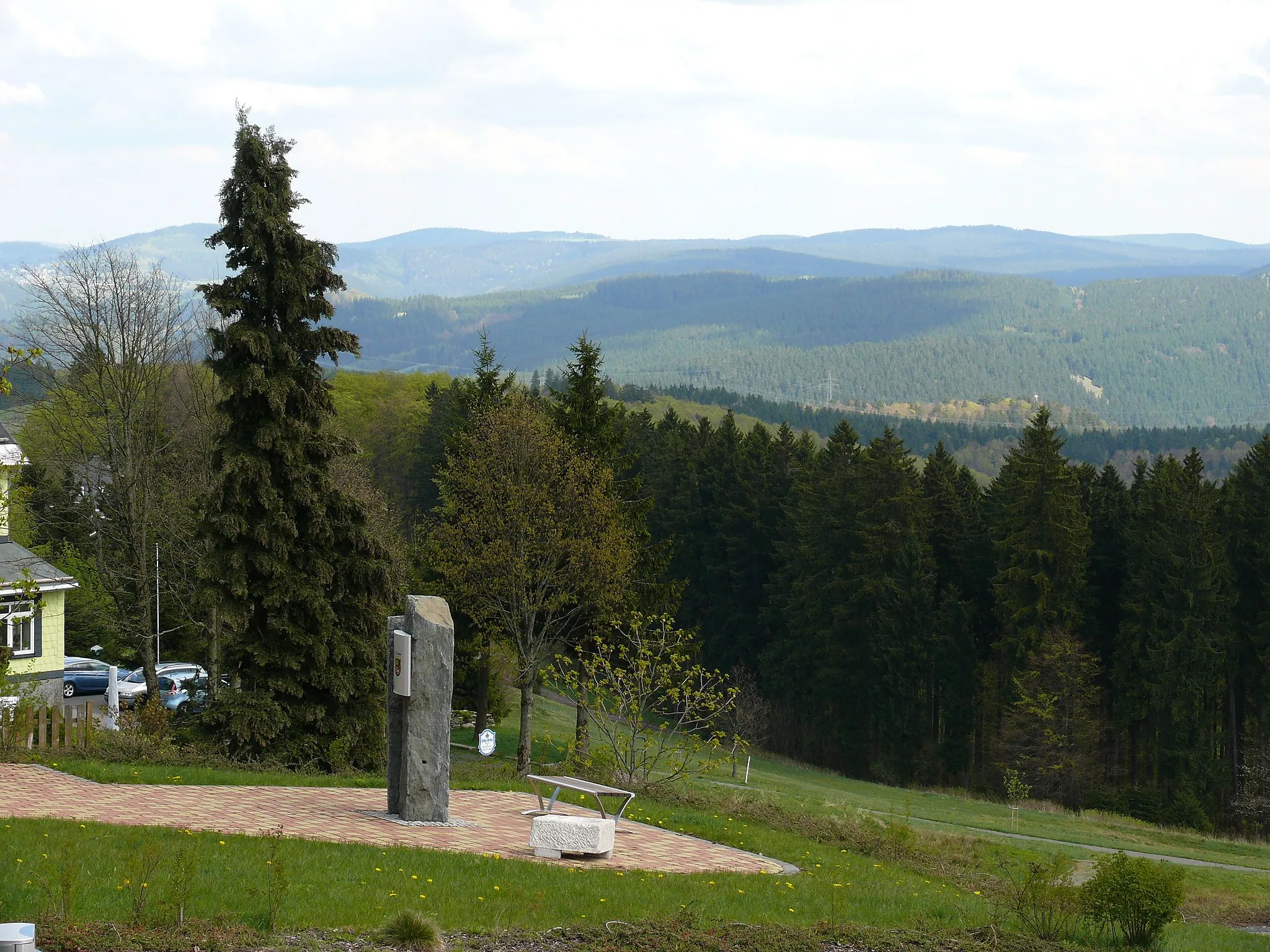
Oberweißbach in Germany's Thüringen region is a paradise for road and gravel cyclists. The locality is surrounded by stunning natural landscapes and offers a variety of terrain, from rolling hills to challenging mountainous routes. Cyclists will also find well-marked cycle paths and routes, ensuring a safe and enjoyable ride. Oberweißbach is famous for its proximity to the famous 'Höllriot,' a legendary climb known for its steep gradients and stunning panoramic views. Cycling enthusiasts from across the region often flock to Oberweißbach to test their skills on this challenging ascent. With its excellent cycling infrastructure and access to iconic climbs, Oberweißbach is a must-visit destination for cyclists of all levels.
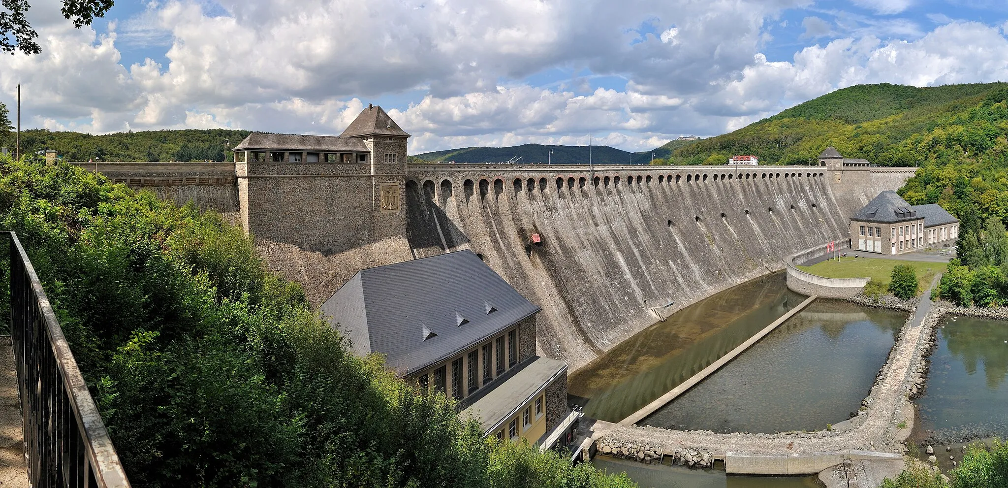
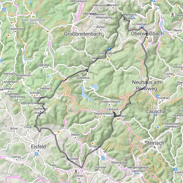
Embark on a thrilling gravel journey to Talsperre Leibis and admire scenic views along the way.
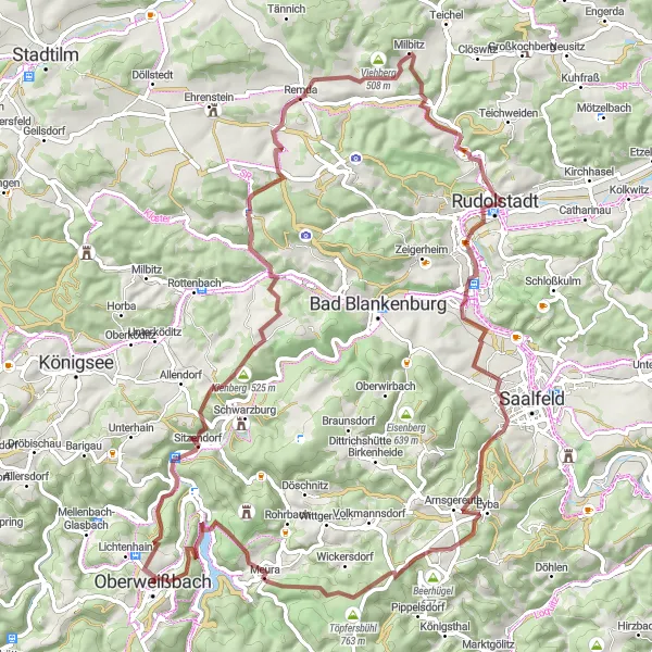
This gravel cycling route starting near Oberweißbach takes you on an adventurous journey to Talsperre Leibis. With a distance of 80 kilometers and an ascent of 1720 meters, this challenging route is perfect for experienced gravel cyclists. Highlights include Roderberg, Cordobang, Kirchremda, Schloßblick, Crösten, Goldberg, and Oberweißbach. Prepare for demanding climbs, rocky trails, and stunning vistas as you explore the beautiful landscapes of Thuringia.
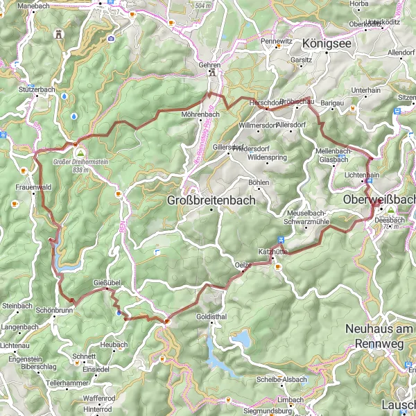
Embark on an adventurous gravel cycling journey through the Thuringian Forest
Embark on an exciting gravel cycling adventure through the breathtaking Thuringian Forest. With a total ascent of 1743 meters and a distance of 67 kilometers, this challenging route offers stunning natural landscapes and picturesque villages. Starting near Oberweißbach, you'll explore hidden gems such as Cursdorf, a small village with traditional architecture, and the Oelze, a peaceful village surrounded by lush forests. Highlights include Löffelberg, a scenic hill offering panoramic views, and the Großer Hundskopf, a picturesque mountain with beautiful hiking trails. Don't miss the Bärenkopf, a tranquil peak known for its enchanting scenery, and Herschdorf, a charming village nestled in the heart of the Thuringian Forest. With its thrilling gravel paths and captivating beauty, this route guarantees an unforgettable cycling adventure.
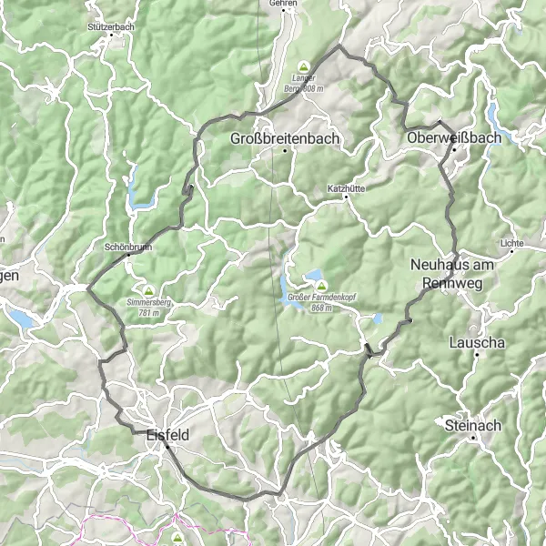
Embark on a challenging cycling journey through the diverse landscapes of Thuringia.
With a total distance of 100 kilometers and an ascent of 1696 meters, this road cycling route near Oberweißbach is perfect for cyclists seeking a challenge. The route takes you through various highlights such as Steinbiel, Neuhaus am Rennweg, Kieferle, Haubenberg, Meuselbacher Kuppe, and Oberweißbach. Be prepared for steep climbs, rolling hills, and rewarding descents as you explore the incredible landscapes of Thuringia.
Embark on an epic gravel cycling adventure through the scenic landscapes of Thuringia.
This gravel cycling route near Oberweißbach offers a thrilling adventure through diverse terrains and breathtaking landscapes. With an ascent of 2079 meters and a distance of 80 kilometers, this route challenges experienced cyclists. Highlights include Oberweißbach, Bielstein, Großneundorf, Höhkuppe, and Hettstädt. Prepare for rough terrain, forest trails, and thrilling descents as you immerse yourself in the natural beauty of Thuringia.
Neuhaus am Rennweg Loop
Experience the beautiful town of Neuhaus am Rennweg on this scenic cycling route.
This captivating road cycling route near Oberweißbach takes you through picturesque landscapes and introduces you to the charming town of Neuhaus am Rennweg. With a total distance of 76 kilometers and an ascent of 1471 meters, this route offers a moderate challenge for cyclists. The roads are well-maintained and provide a smooth riding experience. Along the way, you'll encounter various highlights such as Sandberg, Weitesfeld, Roter Hügel, and Mellenbach-Glasbach.
Springers Berg Adventure
Embark on an adventurous cycling journey to Springers Berg with stunning landscapes along the way.
This road cycling route starting near Oberweißbach takes you on an exciting adventure to Springers Berg, offering a total distance of 87 kilometers and an ascent of 1493 meters. With well-paved roads and varying terrain, this route is suitable for cyclists looking for a moderate challenge. Highlights of the route include Neuhaus am Rennweg, Sandberg, Truckenthal, and Steinberg.
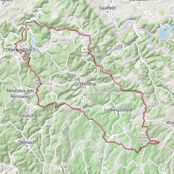
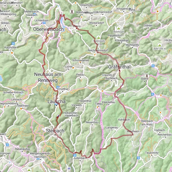
Embark on a thrilling gravel cycling adventure through the Thuringian Forest
Experience the thrill of gravel cycling with this adventurous route through the scenic Thuringian Forest. With a total ascent of 2107 meters and a distance of 100 kilometers, this challenging route is perfect for gravel enthusiasts seeking an adrenaline-filled journey. Starting near Oberweißbach, you'll conquer gravel paths, forest trails, and picturesque landscapes. Highlights include Eichberg, offering stunning views of the surrounding mountains, and Weinberg, a picturesque vineyard with incredible panoramas. Don't miss the Schieferberg, a rugged peak with breathtaking vistas, and the Brennersgrün, a charming village nestled in the heart of the Thuringian Forest. With its epic gravel roads and natural beauty, this route promises an unforgettable cycling adventure.
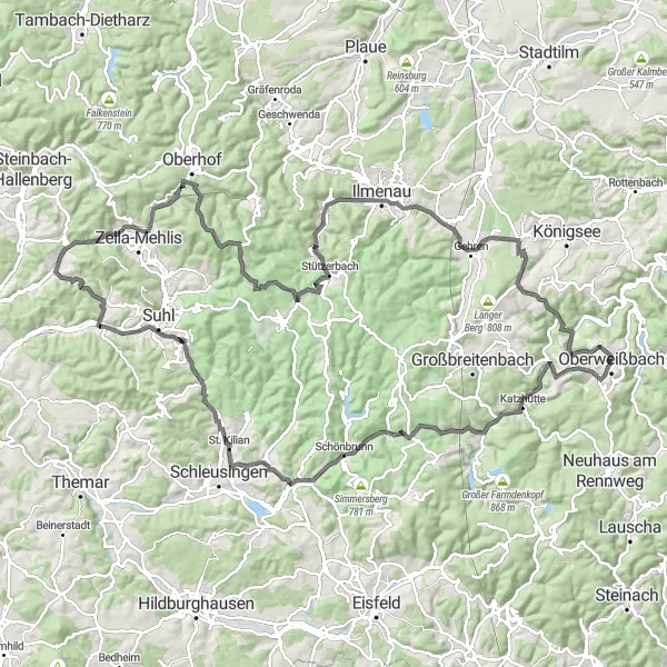
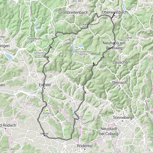
Embark on an epic road cycling challenge across the Thuringian Forest
Challenge yourself on this scenic road cycling route that traverses the picturesque Thuringian Forest. With a total ascent of 2147 meters and a distance of 132 kilometers, this route is tailored for experienced cyclists seeking a thrilling adventure. Starting near Oberweißbach, you'll encounter challenging climbs, breathtaking descents, and stunning natural beauty along the way. Take in highlights such as the Meuselbacher Kuppe, a popular spot for cyclists with captivating views. Don't miss the Oelze, a peaceful village dotted with traditional half-timbered houses. With its epic climbs and beautiful scenery, this route promises an unforgettable cycling experience.
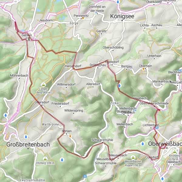
Embark on a thrilling gravel cycling escape through the Thuringian Forest
Escape into nature with this exhilarating gravel cycling route through the scenic Thuringian Forest. With a total ascent of 1019 meters and a distance of 41 kilometers, this short but challenging route offers a taste of adventure for gravel enthusiasts. Starting near Oberweißbach, you'll ride through rugged terrains, peaceful forests, and charming villages. Highlights along the way include the enchanting Mittelberg, offering stunning views of the surrounding landscapes, and the picturesque village of Meuselbach. Don't miss the Milchberg, a beautiful hill with panoramic vistas, and Schloss Gehren, an impressive castle with a rich history. With its exciting gravel paths and natural beauty, this route promises a memorable cycling escape.
Explore the beautiful Thuringian Forest on this road cycling route
This road cycling route takes you through the scenic Thuringian Forest, offering breathtaking views of the surrounding landscapes. With a total ascent of 1820 meters and a distance of 125 kilometers, the route is suitable for experienced cyclists. Start your journey in Oberweißbach and enjoy the challenging climbs and exhilarating descents along the way. Don't miss highlights such as Cursdorf, a small village known for its traditional architecture, and the Steinbiel mountain, offering stunning panoramic views.
Cycling routes nearby:
Nearby regions: