Exploring the Countryside
A gravel cycling route starting from Herbsleben
A scenic route through the Thüringen countryside
Map
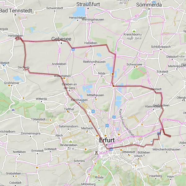
This route takes you on a picturesque journey through the Thüringen countryside, passing by charming villages and rolling hills. The gravel terrain adds an element of adventure to the ride, making it a great option for those seeking a challenge. With a moderate ascent of 309 meters over a distance of 76 kilometers, this route is suitable for well-trained amateur cyclists. As you cycle along, take a moment to appreciate the beautiful landscapes and enjoy the tranquility of the rural surroundings. Difficulty: 3 | Epicness: 3
gravel
76 km
309 m
Tough
Route profile
Highlights on the route
0 km
0 km
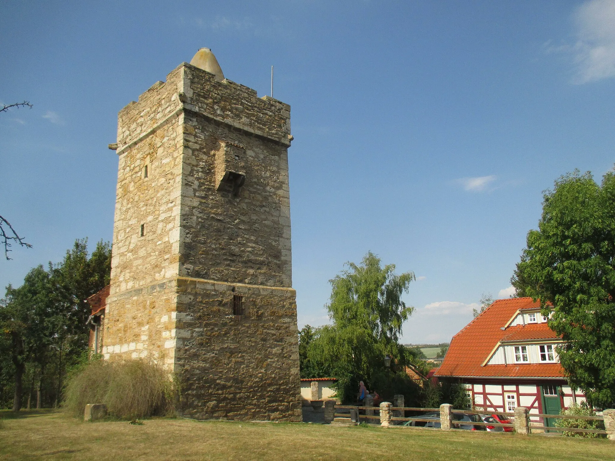
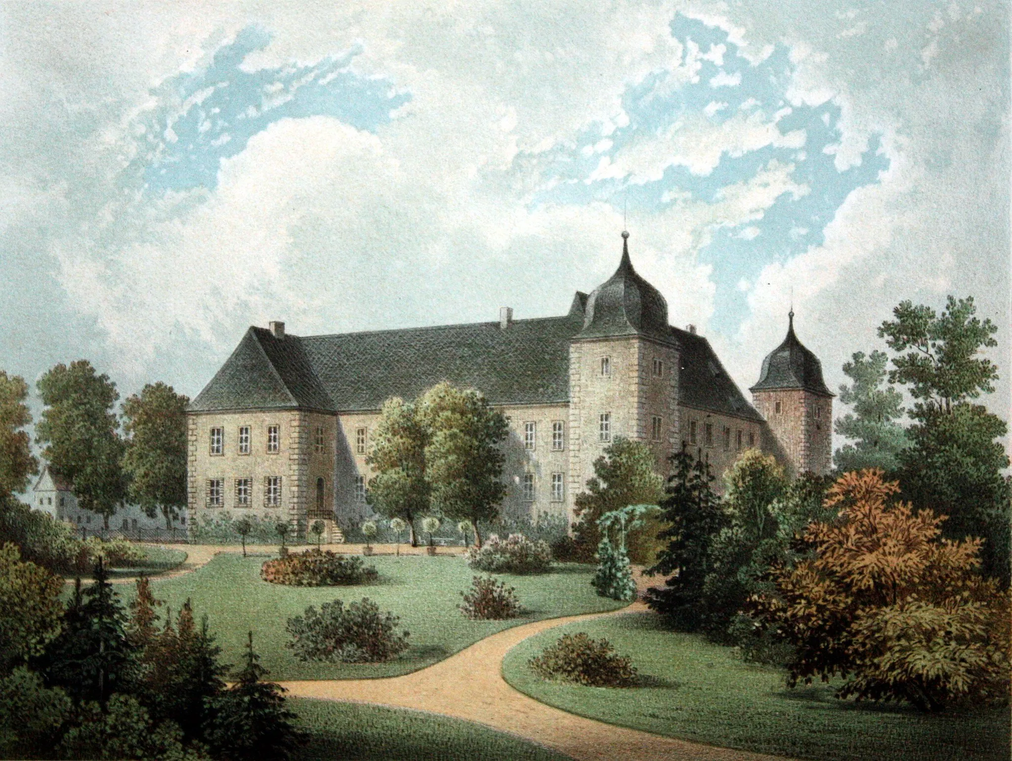
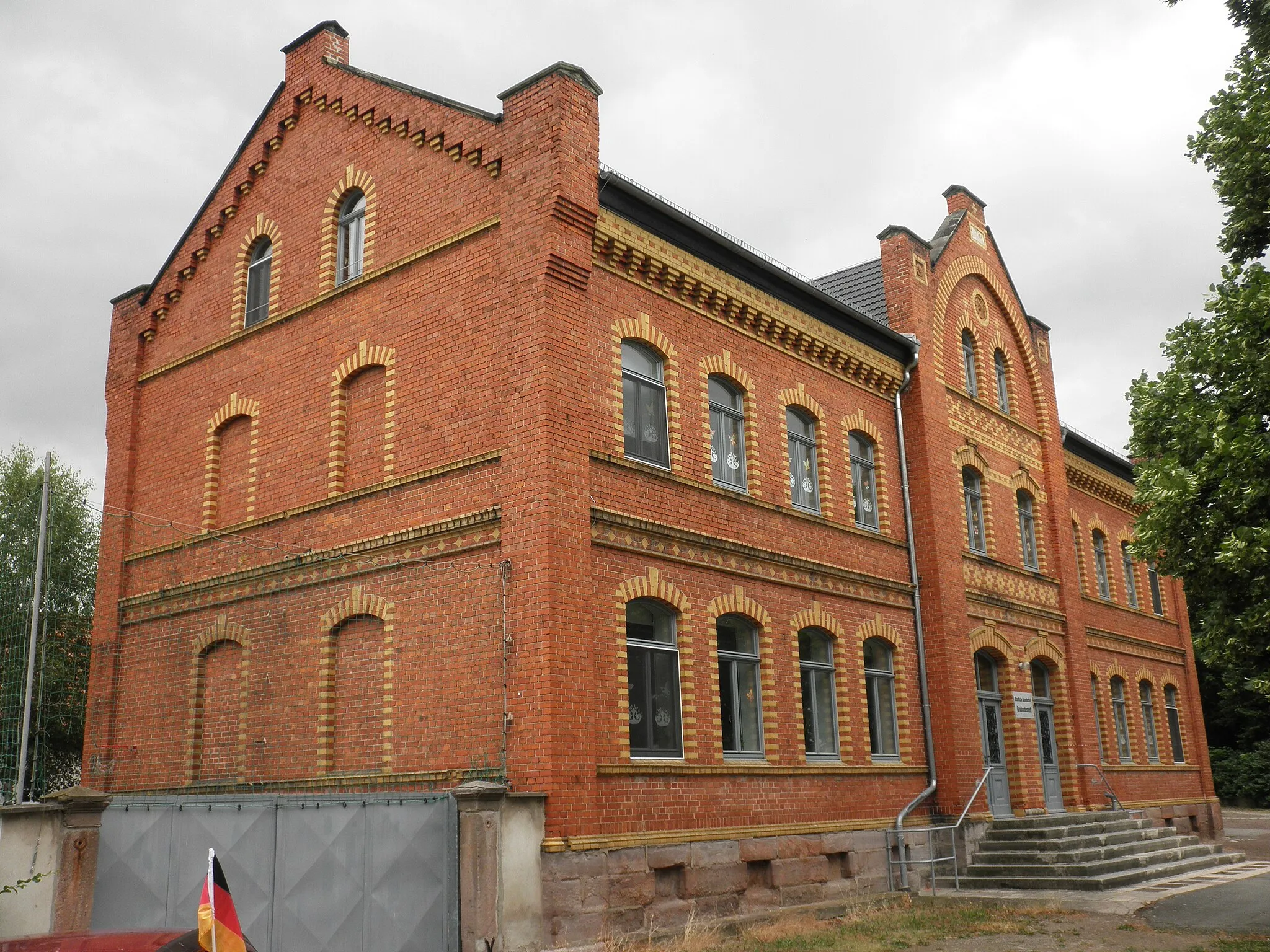
Start: Herbsleben Village centerHerbsleben: Tranquil cycling in Thüringen
Herbsleben is a town in Thüringen, Germany. From a cyclist's point of view, Herbsleben provides a quiet and peaceful cycling experience. The region offers roads that wind through picturesque countryside, making it suitable for both road and gravel cycling. There are no specific famous cycling-related spots or well-known climbs nearby. However, the tranquil atmosphere and scenic routes make Herbsleben a great destination for cyclists looking to escape the hustle and bustle.10 km
10 km
Kantorberg174 mPeakLocated at the 10-kilometer mark, the Kantorberg offers panoramic views of the surrounding area. Take a break, catch your breath, and soak in the natural beauty.
17 km
17 km
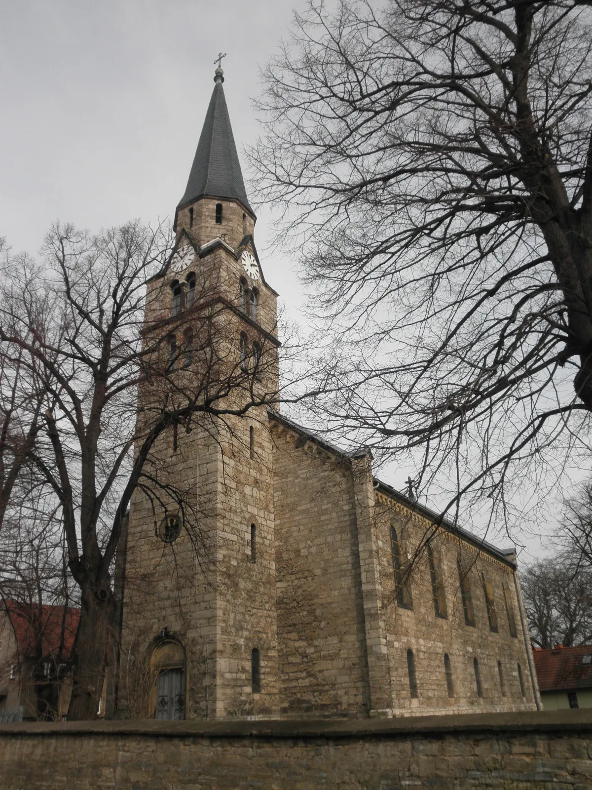
AlperstedtVillageAt the 17-kilometer mark, you'll pass by Alperstedt, a charming village known for its traditional architecture and friendly locals.
24 km
24 km
Galgenhügel222 mPeak ViewpointAs you near the halfway point of the route, you'll reach Galgenhügel. This hilltop offers stunning views and is a perfect spot for a picnic.
28 km
28 km
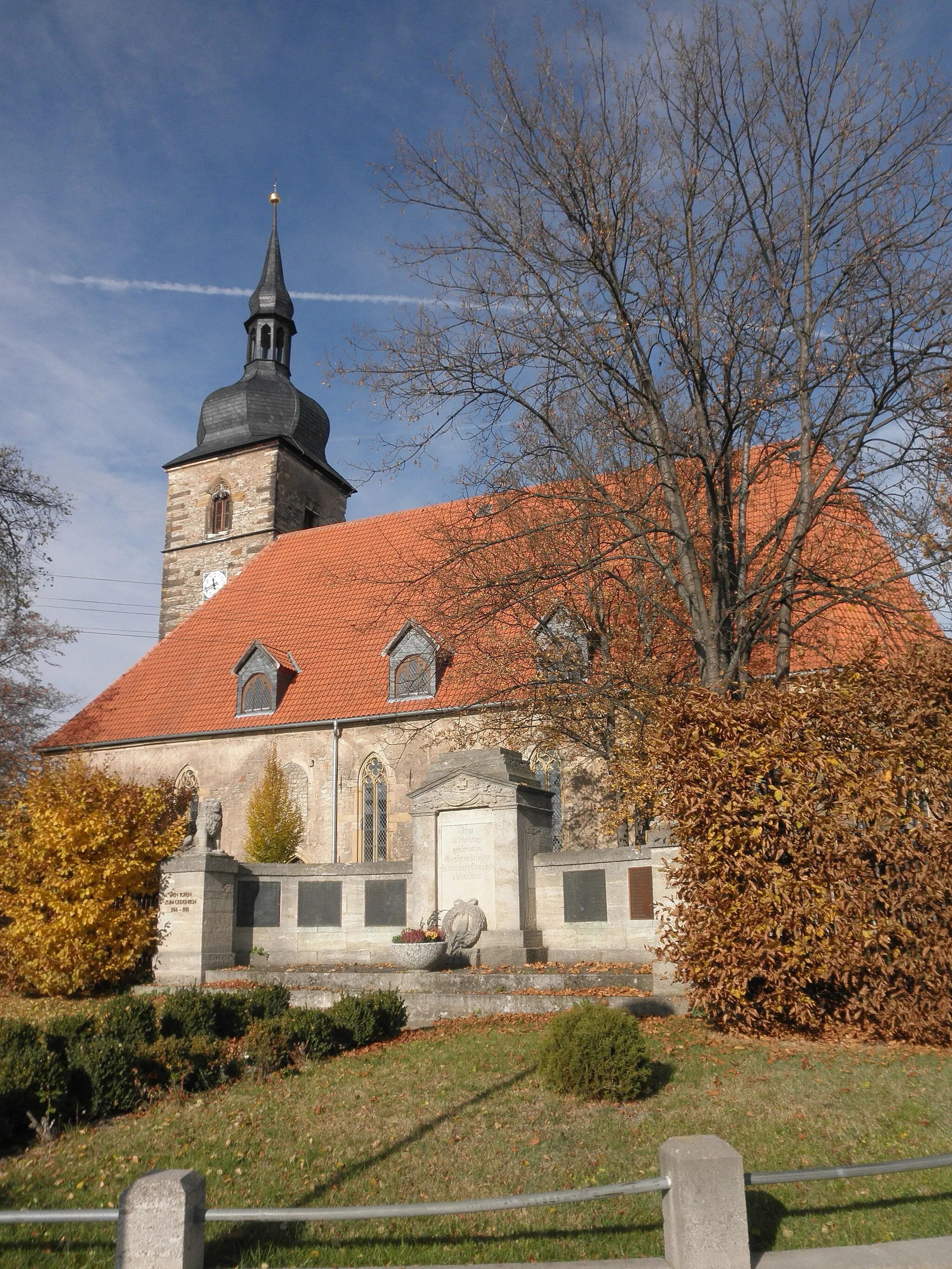
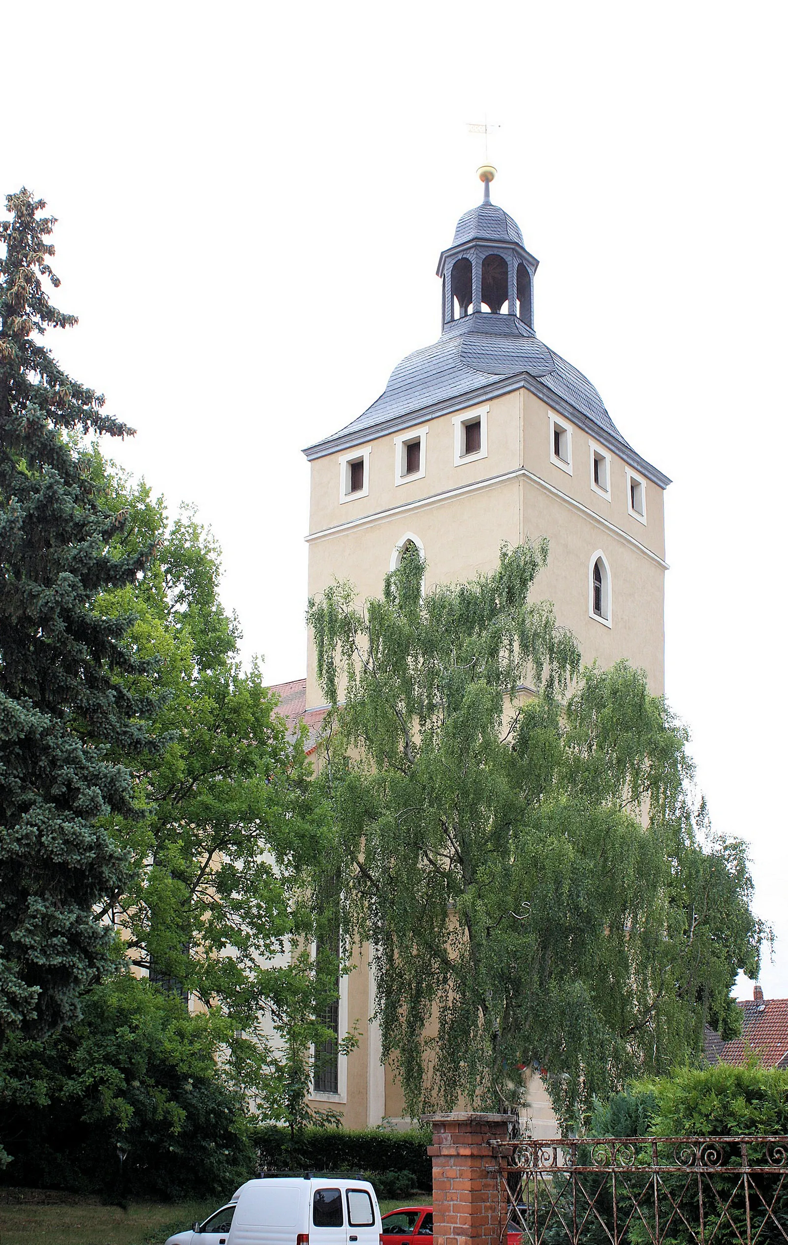
UdestedtVillageUdestedt, located at the 28-kilometer mark, is a small village with a rich history. Take a stroll through its narrow streets and discover its hidden gems.
37 km
37 km
Großer Hasenberg227 mPeakThe climb up Großer Hasenberg, at the 37-kilometer mark, will test your endurance. Once you reach the top, you'll be rewarded with panoramic views of the countryside.
51 km
51 km
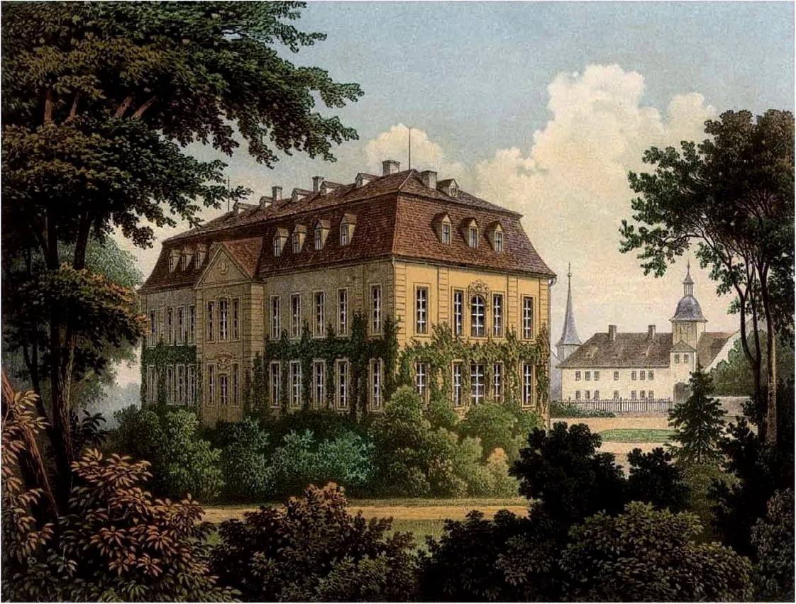
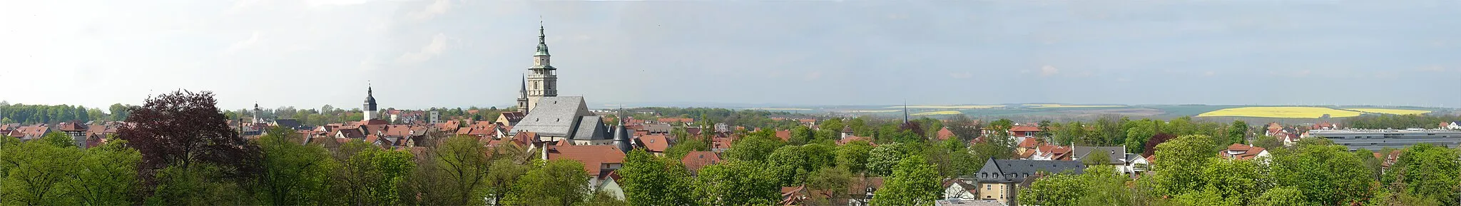
ErfurtCityAt the 51-kilometer mark, you'll arrive in Erfurt, the capital of Thüringen. Explore its historic center, visit the iconic Erfurt Cathedral, and indulge in some local culinary delights.
59 km
59 km
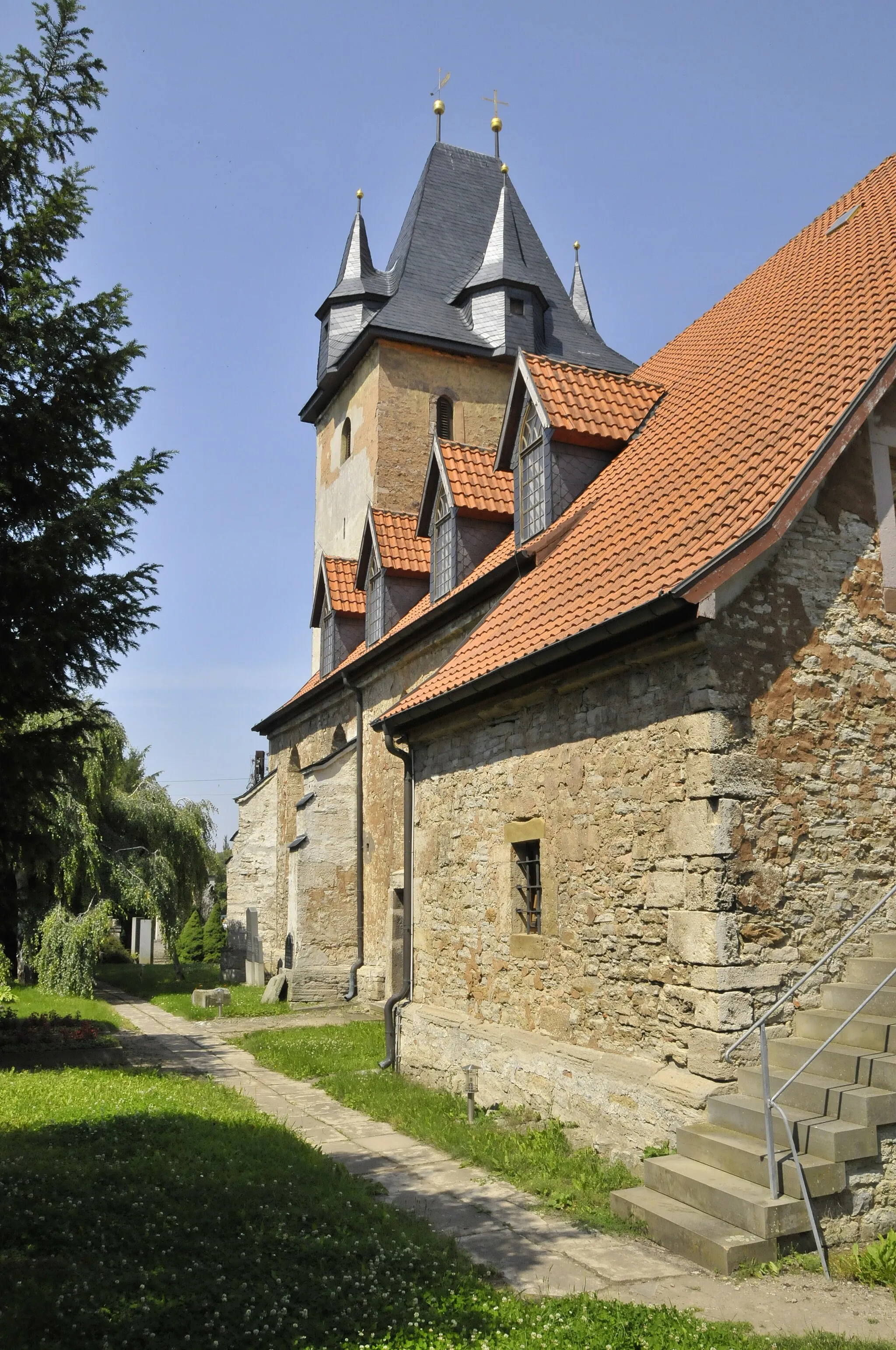
Schwellenburg227 mPeakSchwellenburg, at the 59-kilometer mark, is a medieval castle that offers stunning views of the surrounding countryside. Take a guided tour and learn about its fascinating history.
70 km
70 km
DachwigVillageAs you approach the end of the route, you'll pass through Dachwig, a charming village known for its traditional half-timbered houses. Take a moment to appreciate the local architecture.
76 km
76 km
Finish: Herbsleben Village centerHerbsleben: Tranquil cycling in Thüringen
Cycling routes from Herbsleben:
Herb's Gravel Adventure Exploring Thüringen's Hidden Gems Road Cycling Adventure in Thüringen Picturesque Ride through Thüringen The Ultimate Thüringen Challenge Herbsleben Castle Ruins and Hainich National Park Loop Gravel Adventure to Sömmerda and Alperstedt Discover Haßleben and Kantorberg Gravel Adventure Scenic Loop to Gangloffsömmern and Klausberg Bad Langensalza and Schloßruine Herbsleben Road Adventure Exploring the Countryside Historic Landmarks and Challenging Terrain
Cycling routes nearby: