Altenberga Loop
A gravel cycling route starting from Kahla
Immerse yourself in nature on this scenic gravel route near Kahla.
Map
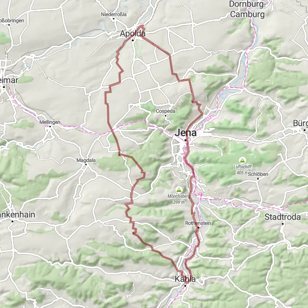
The Altenberga Loop is a beautiful gravel route that offers stunning views of the surrounding nature. With a total distance of 72 kilometers and an ascent of 1021 meters, this route provides a challenging adventure for experienced cyclists. The trail takes you through Altenberga, where you can enjoy the peacefulness and tranquility of the countryside. Another highlight along the route is Coppanzer Berg, which offers breathtaking panoramic views. The Sperlingsberg and Herressen are also worth a visit, with their unique rock formations and picturesque landscapes. Additional highlights include Roter Turm, Saalebalkon, Großpürschütz, and Dohlenstein.
gravel
72 km
1021 m
Tough
Route profile
Highlights on the route
0 km
0 km
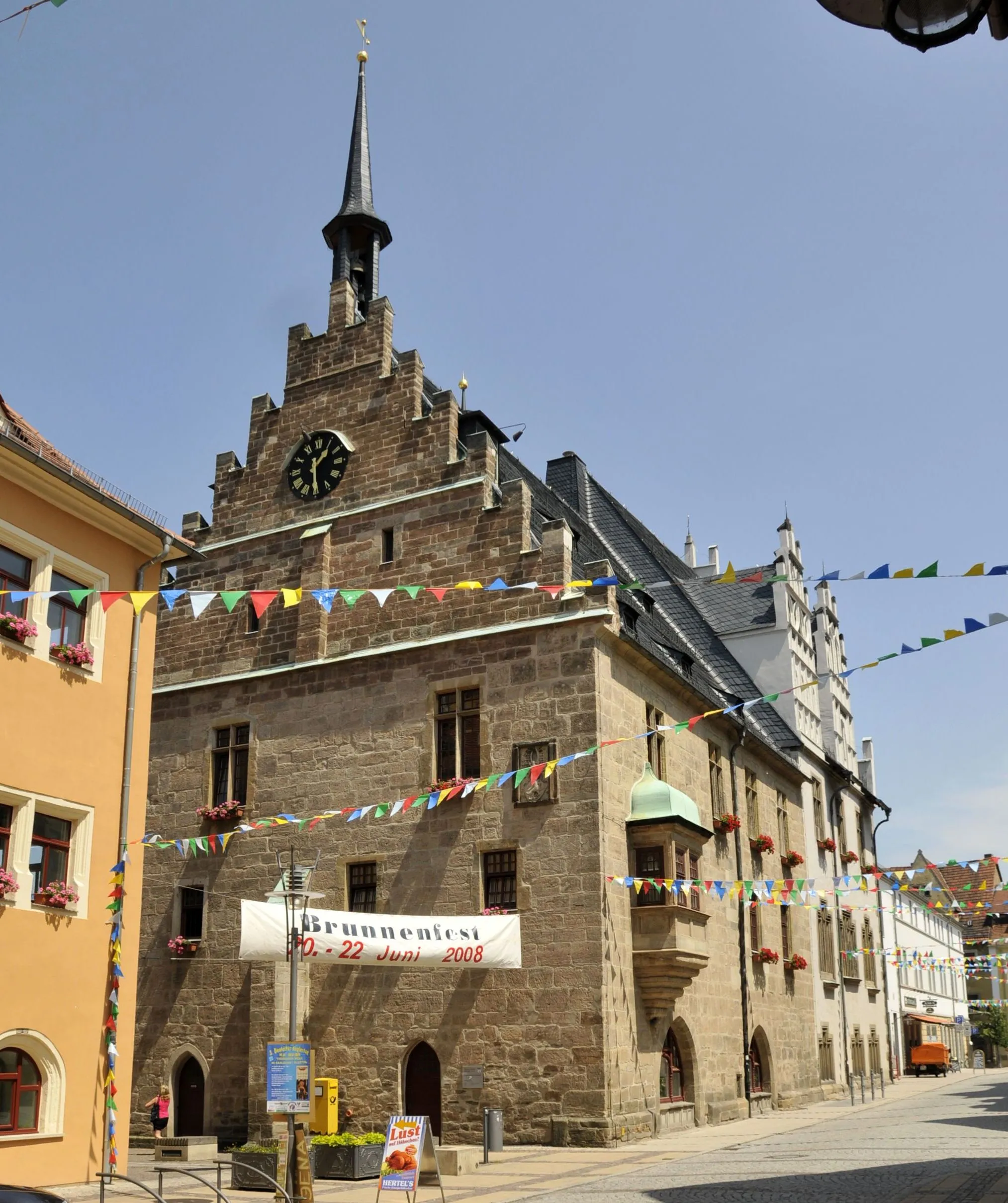
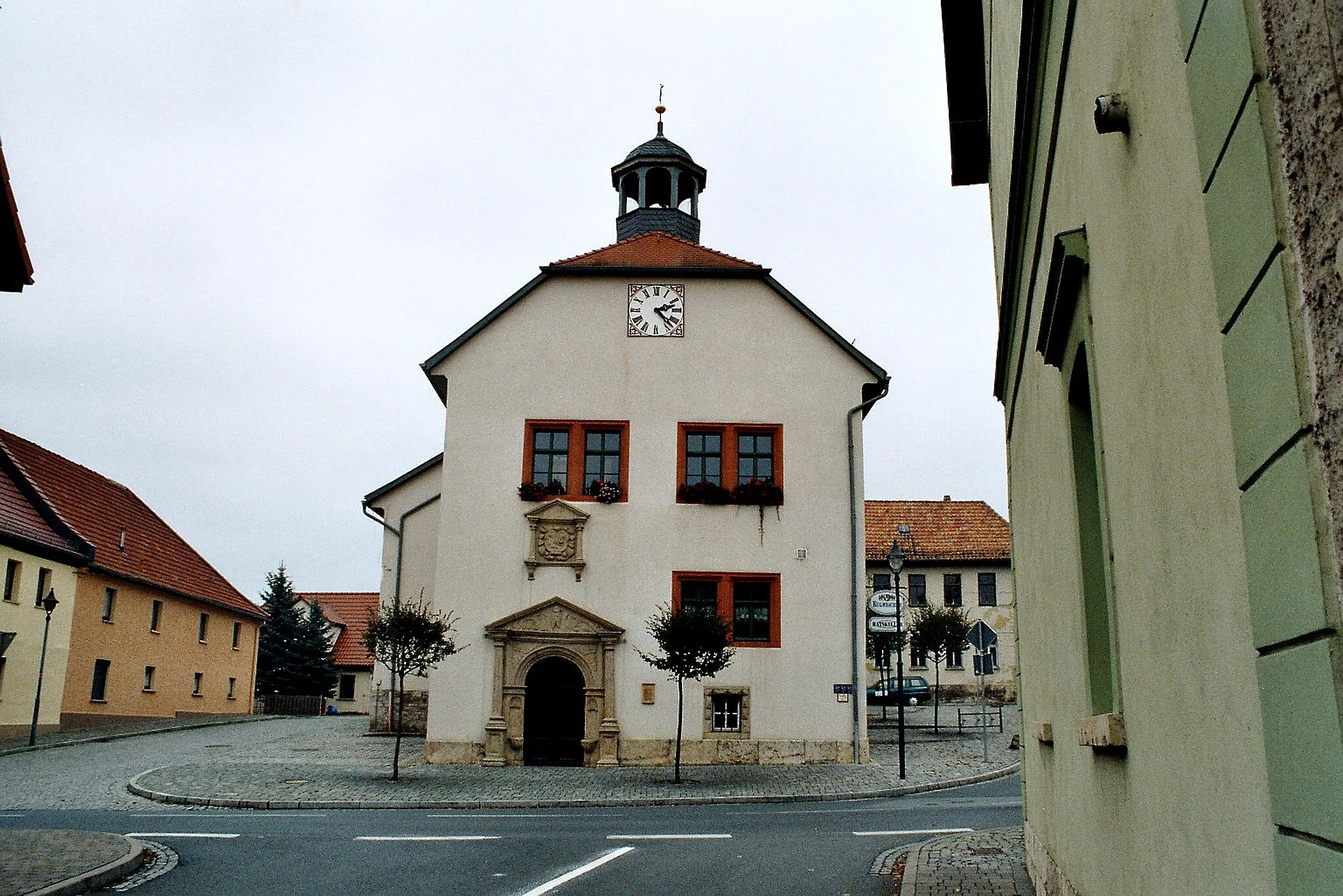
Start: Kahla City centerKahla: Uncover the beauty of Kahla through cycling adventures
Kahla is a town located in the Thüringen region of Germany. Cyclists in Kahla can explore the charming historic center and scenic countryside, offering a mix of enjoyable road and gravel cycling routes. The area is known for its vineyards, castles, and panoramic views, adding to the overall appeal for cyclists. Nearby, riders can challenge themselves with climbs in the Saale-Holzland district or enjoy leisurely rides through the Thuringian Forest. Overall, Kahla provides a cyclist-friendly locality that combines cultural attractions with scenic routes.5 km
5 km
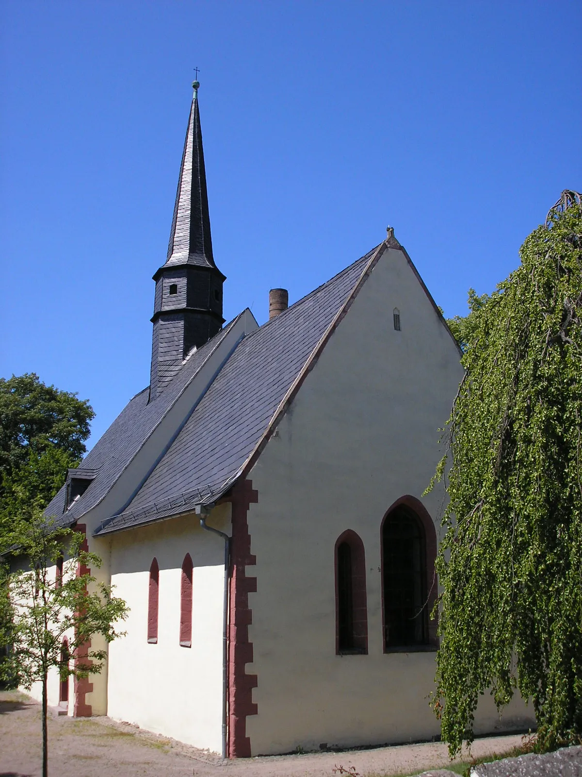
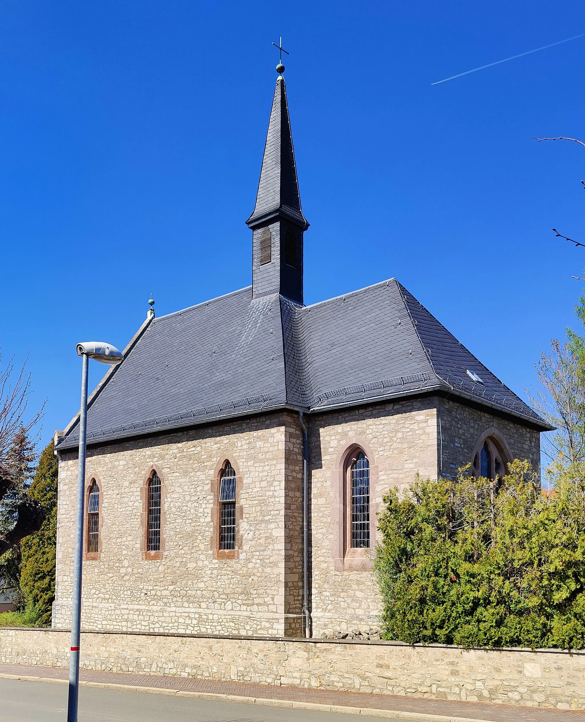
AltenbergaVillageAltenberga offers a charming glimpse into rural life, with its idyllic landscapes and quaint villages.
17 km
17 km
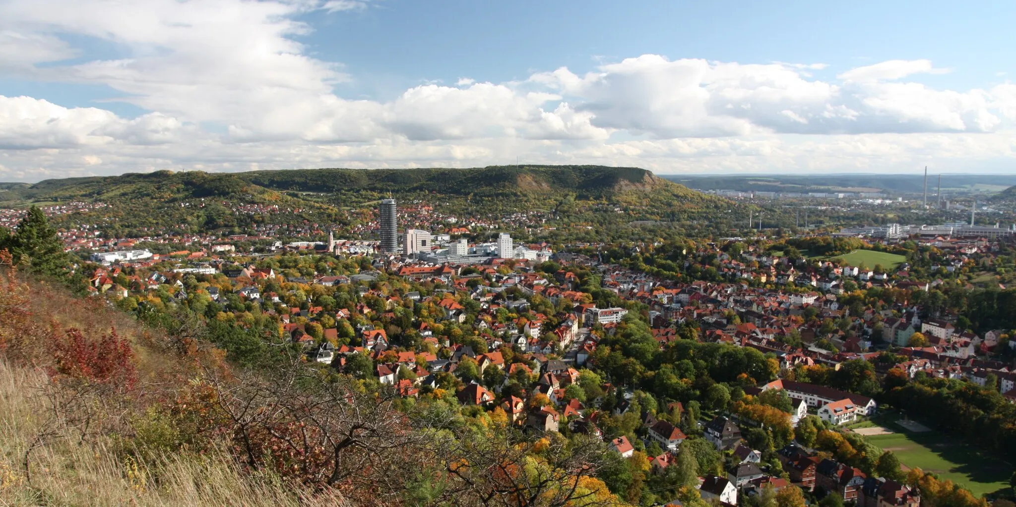
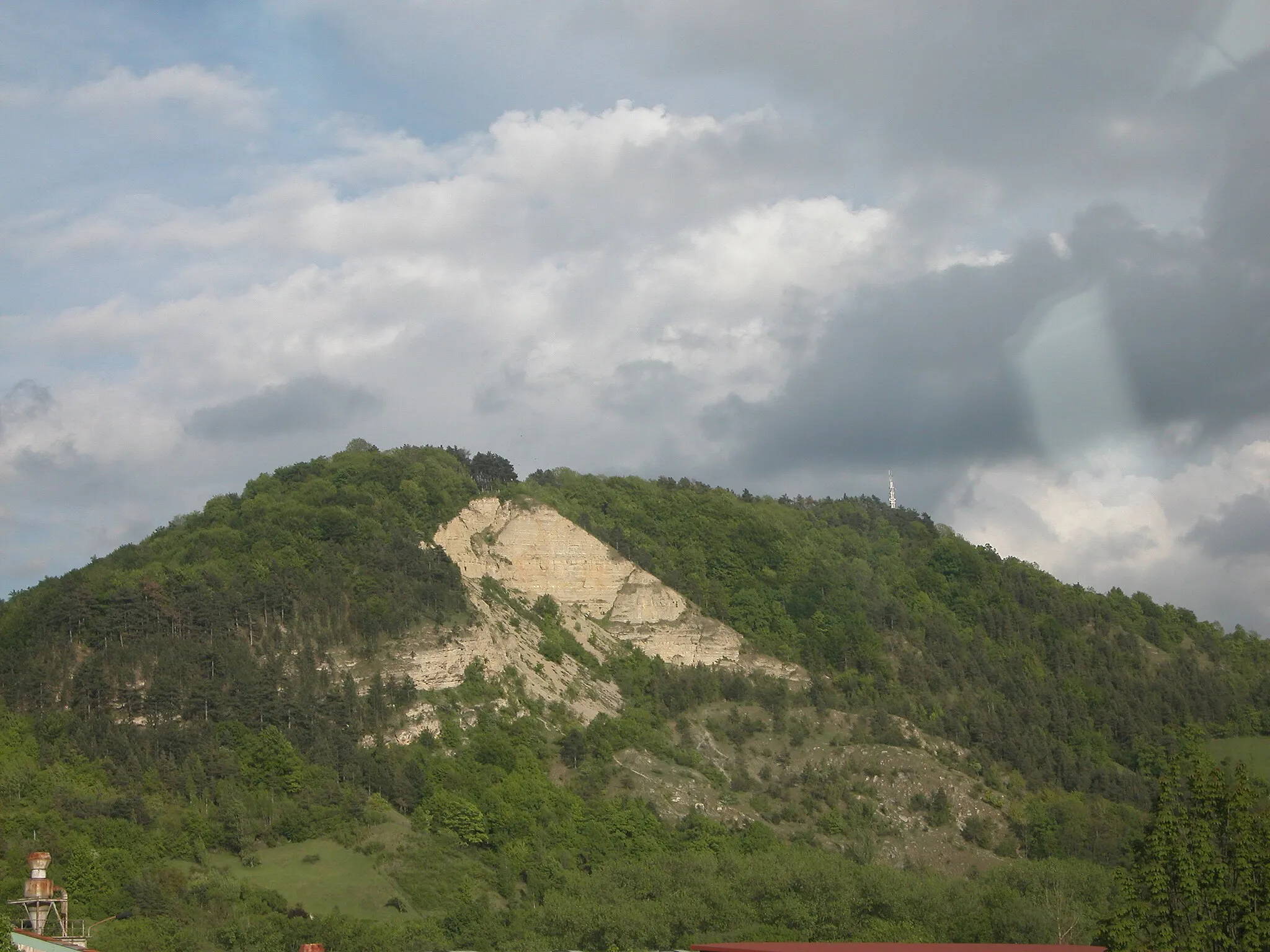
Coppanzer Berg422 mPeakCoppanzer Berg provides sweeping vistas of the surrounding area, making it a great spot for a photo op.
28 km
28 km
Sperlingsberg314 mPeakThe Sperlingsberg is known for its steep climbs and rewarding views at the top.
33 km
33 km
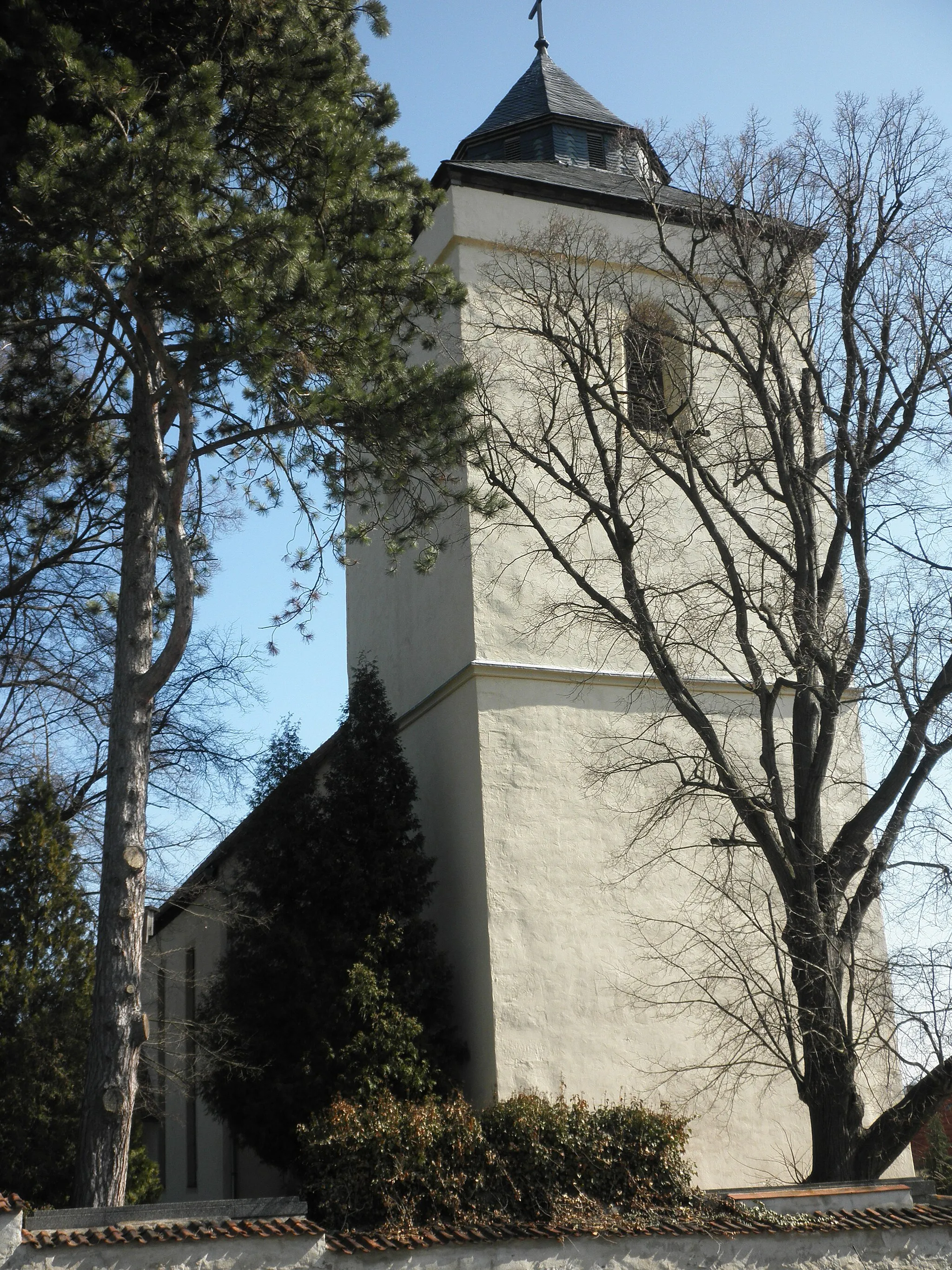
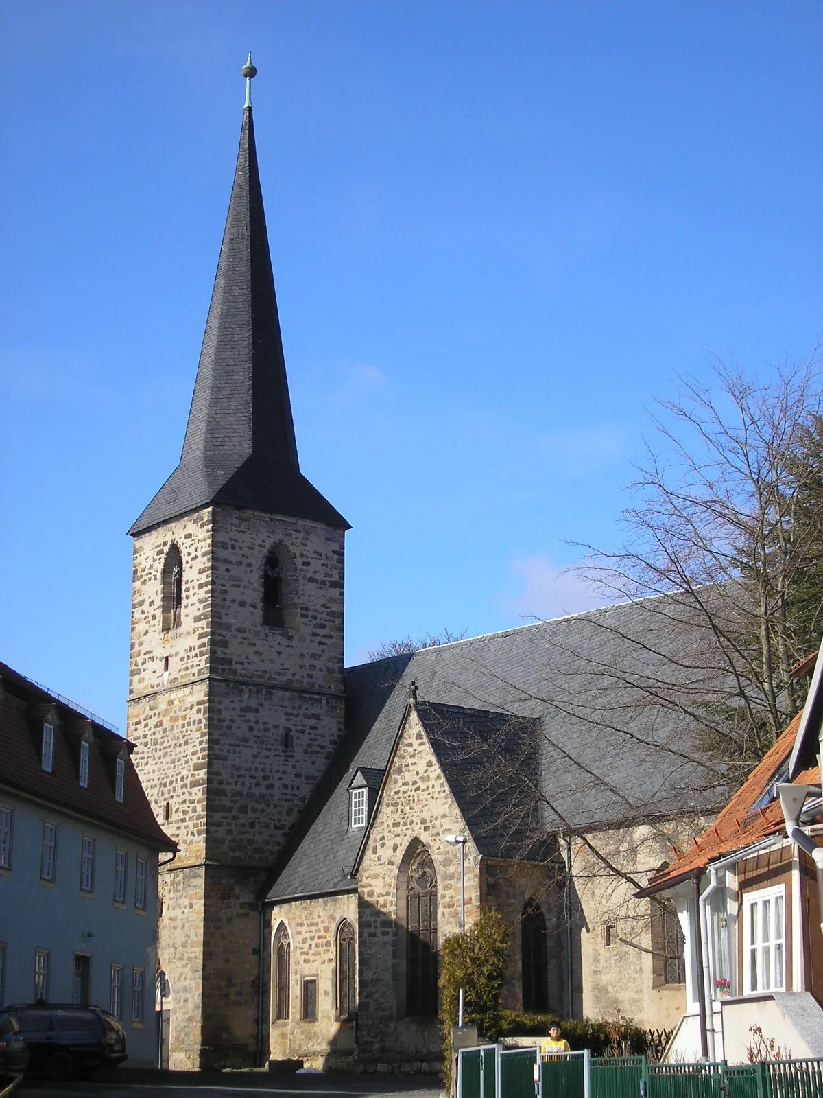
HerressenVillageHerressen is a hidden gem with its rolling hills and stunning nature trails.
54 km
54 km
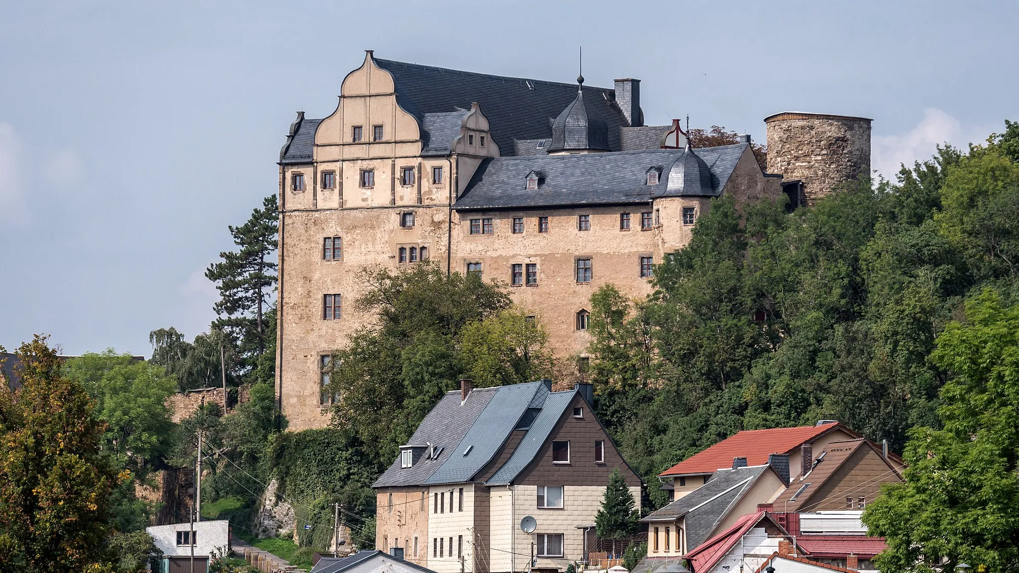
Roter TurmAttractionRoter Turm is a historic landmark that showcases the rich cultural heritage of the region.
54 km
54 km
SaalebalkonViewpointSaalebalkon offers panoramic views of the Saale River, providing a peaceful retreat for nature lovers.
68 km
68 km
GroßpürschützVillageGroßpürschütz is a charming village that showcases traditional Thuringian architecture.
71 km
71 km
Dohlenstein366 mPeak ViewpointDohlenstein is a unique rock formation that stands tall amidst the scenic landscapes of the region.
72 km
72 km
Finish: Kahla City centerKahla: Uncover the beauty of Kahla through cycling adventures
Cycling routes nearby: