Krölpa to Schmorda Road Bike Ride
A road cycling route starting from Krolpa
Explore the beautiful countryside of Thüringen on this scenic road bike ride from Krölpa to Schmorda.
Map
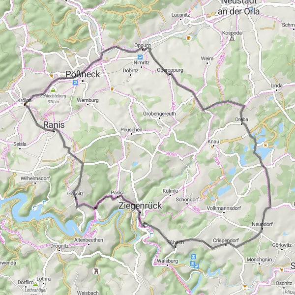
This road cycling route takes you through picturesque villages and rolling hills, providing stunning views along the way. With a total distance of 57 kilometers and an ascent of 849 meters, this route offers a great challenge for amateur cyclists. The highlights of this route include the Schlechteberg, Oberoppurg Castle, and the Pahnstangen viewpoint.
road
57 km
849 m
Tough
Route profile
Highlights on the route
0 km
0 km
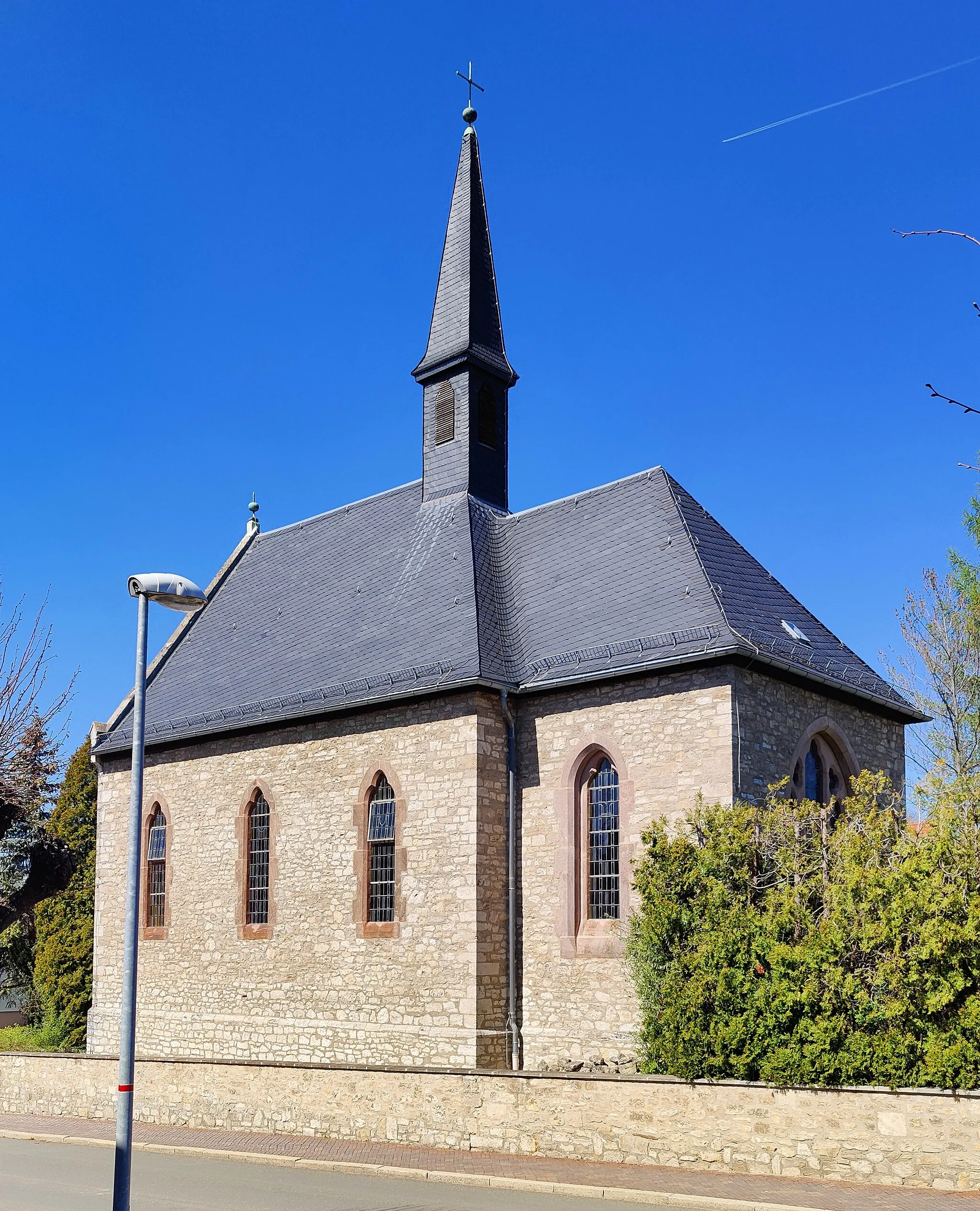
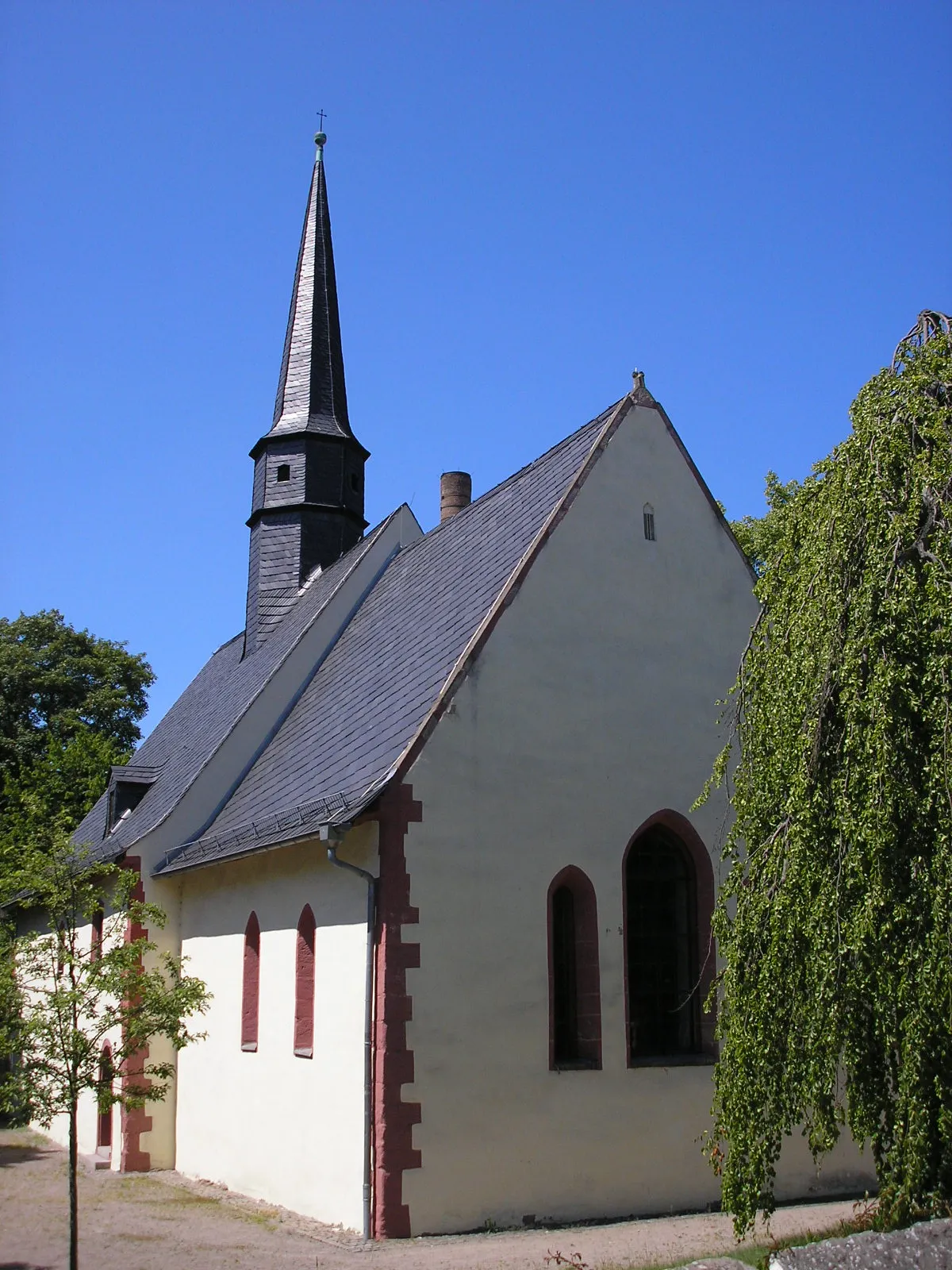
Start: Krölpa Village centerKrölpa: Discover the natural beauty of Thüringen on two wheels.
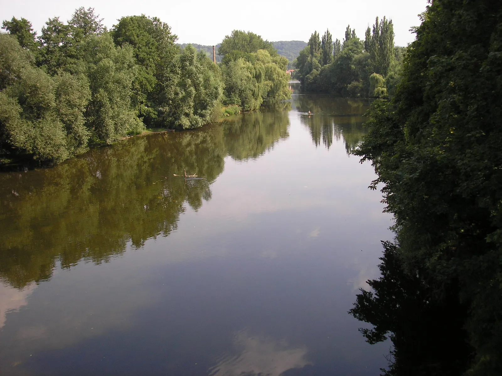
Krölpa is a locality located in Thüringen, Germany, offering exciting cycling opportunities. As a road and gravel cyclist, you will find a rich variety of routes that traverse the region's beautiful landscapes. Krölpa is surrounded by rolling hills, lush forests, and picturesque villages, creating a scenic environment for your rides. Additionally, the area features well-maintained roads and cycling paths, ensuring a smooth and enjoyable cycling experience. Notably, Krölpa is near the famous Rennsteig Trail, a popular long-distance path for hikers and cyclists. Overall, Krölpa is a fantastic destination for cycling enthusiasts looking to explore the beauty of Thüringen.2 km
2 km
Schlechteberg310 mPeakThe Schlechteberg is a small hill with panoramic views of the surrounding countryside.
13 km
13 km
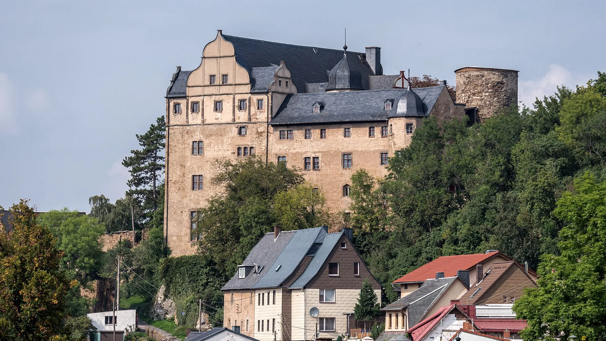
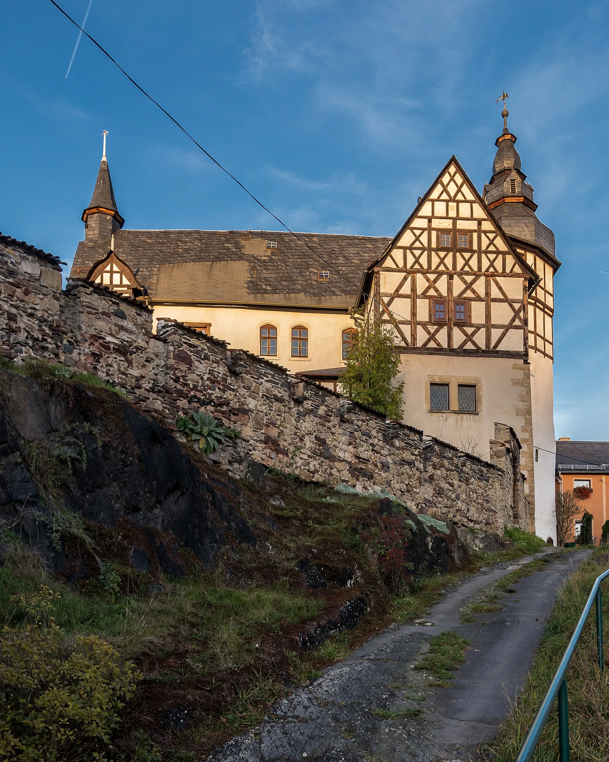
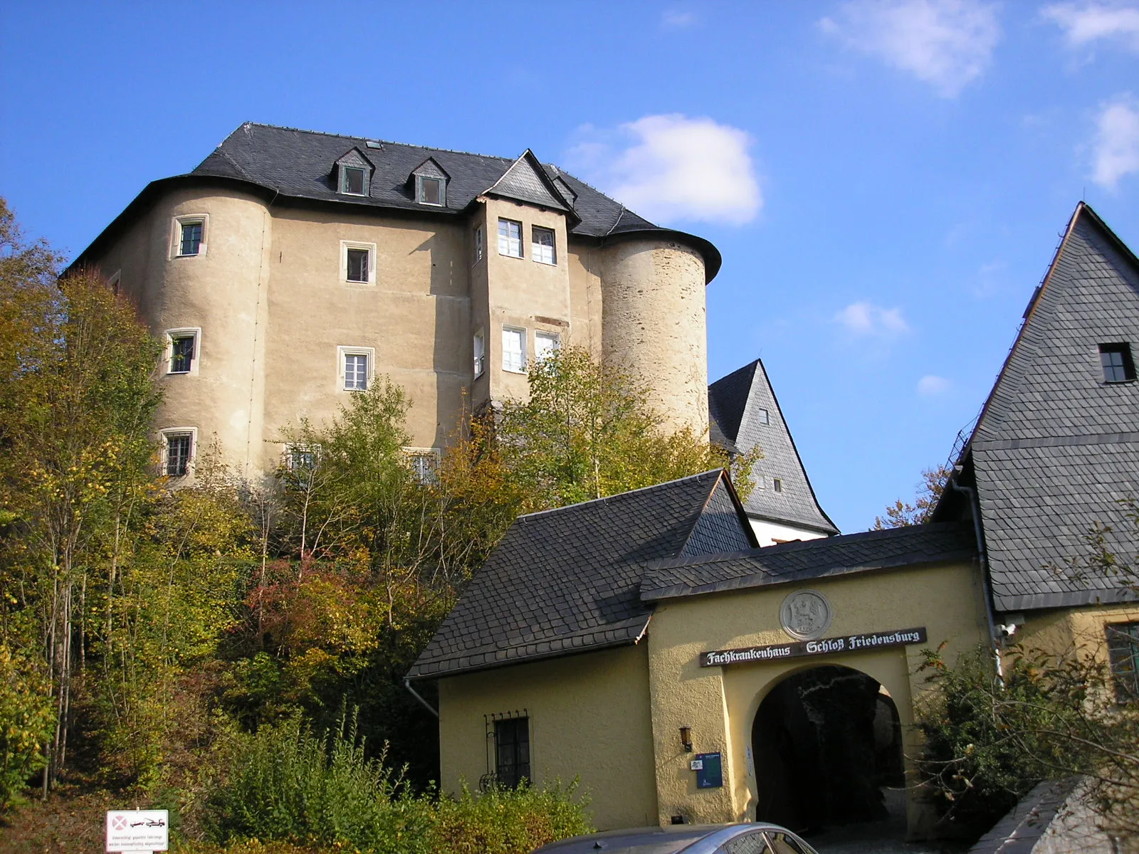
OberoppurgVillageVisit the charming Oberoppurg Castle, dating back to the 15th century.
27 km
27 km
PahnstangenVillageThe Pahnstangen viewpoint offers breathtaking landscapes over the Thuringian Forest.
35 km
35 km
Mühlberg473 mPeakEnjoy the scenic Mühlberg, a perfect spot for a break and a picnic.
43 km
43 km
PaskaVillageDiscover the historic village of Paska, known for its well-preserved half-timbered houses.
49 km
49 km
Fährholzhügel522 mPeakClimb up the Fährholzhügel, a hill offering magnificent views of the region.
51 km
51 km
SchmordaVillagePass through the tranquil village of Schmorda, surrounded by peaceful countryside.
57 km
57 km
Finish: Krölpa Village centerKrölpa: Discover the natural beauty of Thüringen on two wheels.
Cycling routes nearby: