Thüringer Wald Adventure
A road cycling route starting from Leutenberg
Embark on an exciting cycling adventure through the Thuringian Forest.
Map
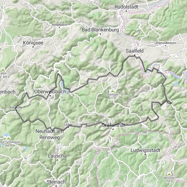
The Thüringer Wald Adventure is a challenging road cycling route with an ascent of 2214 meters over a distance of 97 kilometers. This route is suitable for very well-trained amateur cyclists who are looking for a thrilling cycling experience. The route offers stunning landscapes and visits several interesting highlights along the way, making it an epic journey with a rating of 4.
road
97 km
2214 m
Tough
Route profile
Highlights on the route
0 km
0 km
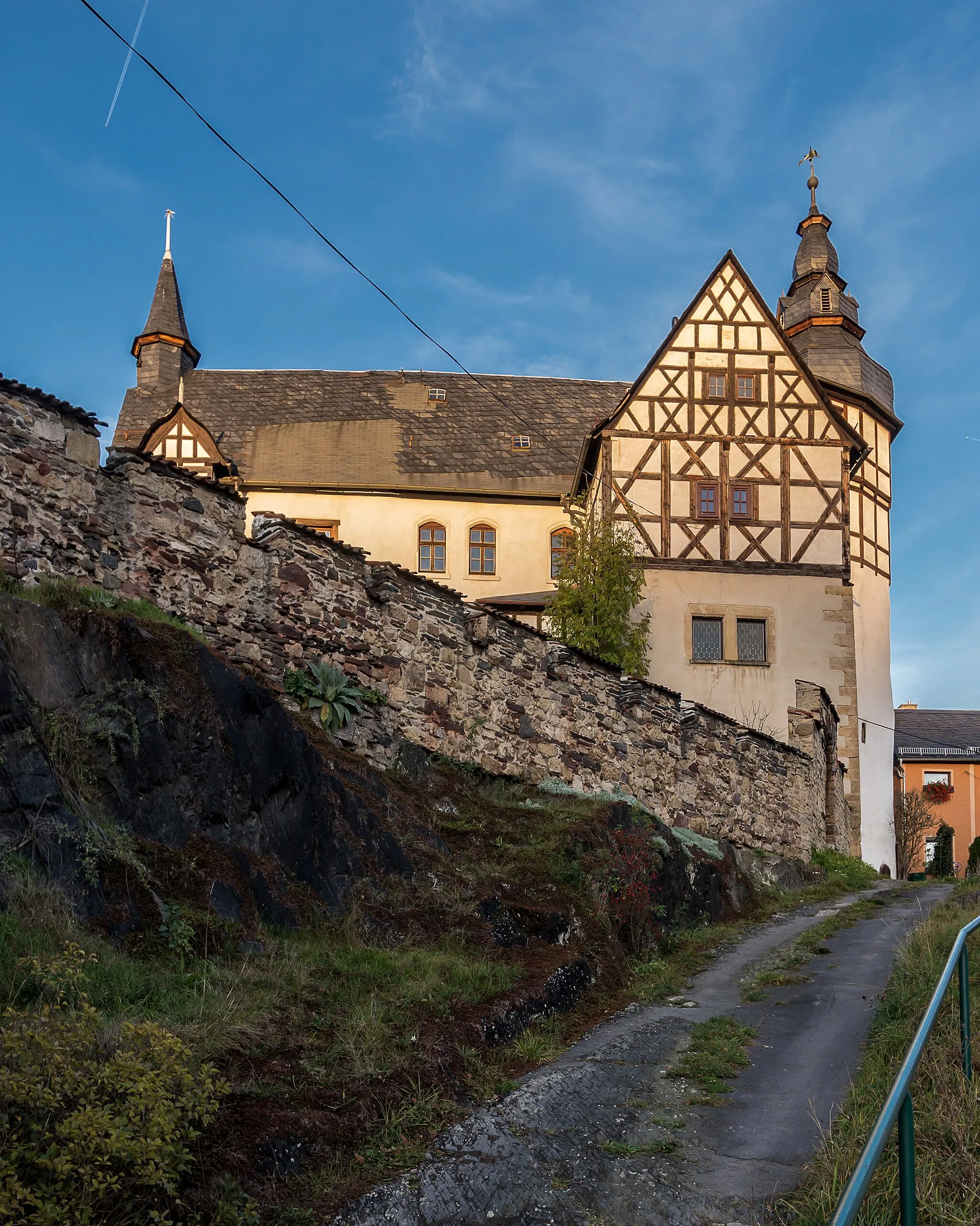
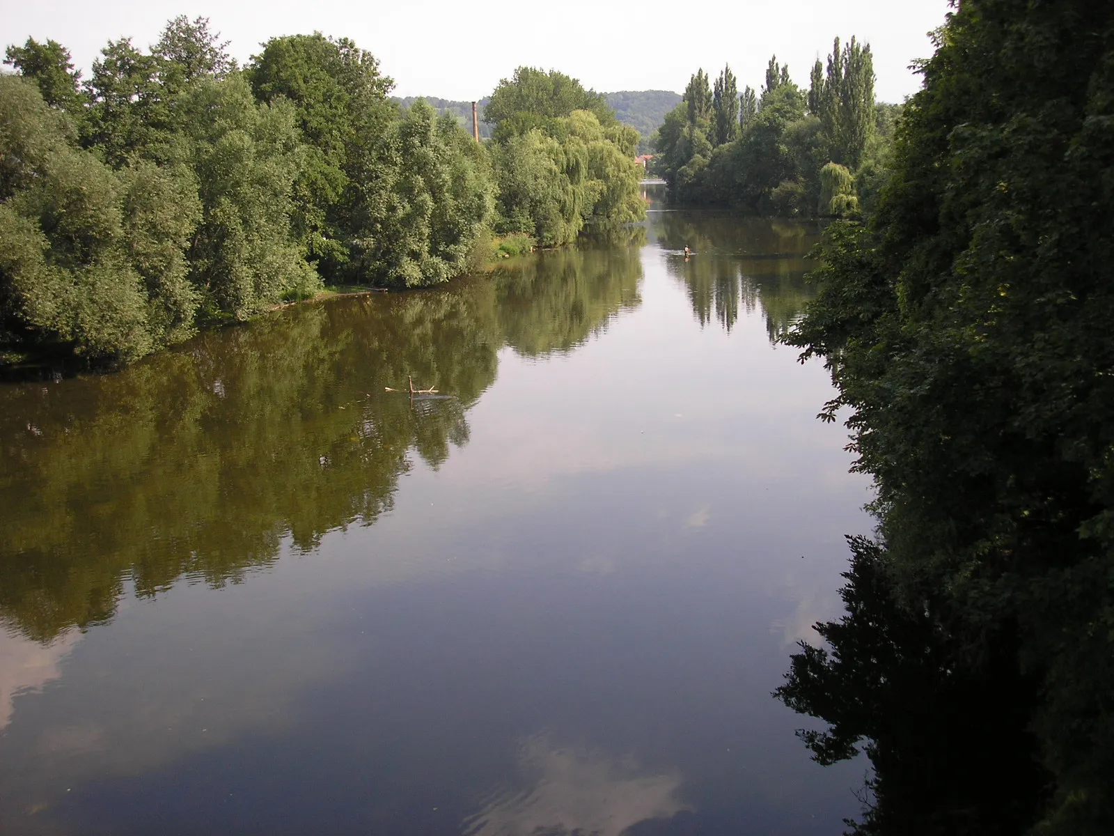
Start: Leutenberg Village centerLeutenberg: Embark on a cycling adventure through diverse terrain and conquer the famous Hohe Weg climb in Leutenberg, Germany.
Leutenberg is a town located in the Thüringen region of Germany. From a cyclist's point of view, Leutenberg offers diverse terrain with both flat stretches and challenging hills, suitable for road and gravel cycling. The region is known for its enchanting landscapes, including dense forests, meandering rivers, and picturesque villages. Nearby, you can find the well-known climb 'Hohe Weg,' which attracts cyclists from all over. Leutenberg is a great destination for cycling enthusiasts looking for a combination of scenic routes and thrilling climbs.8 km
8 km
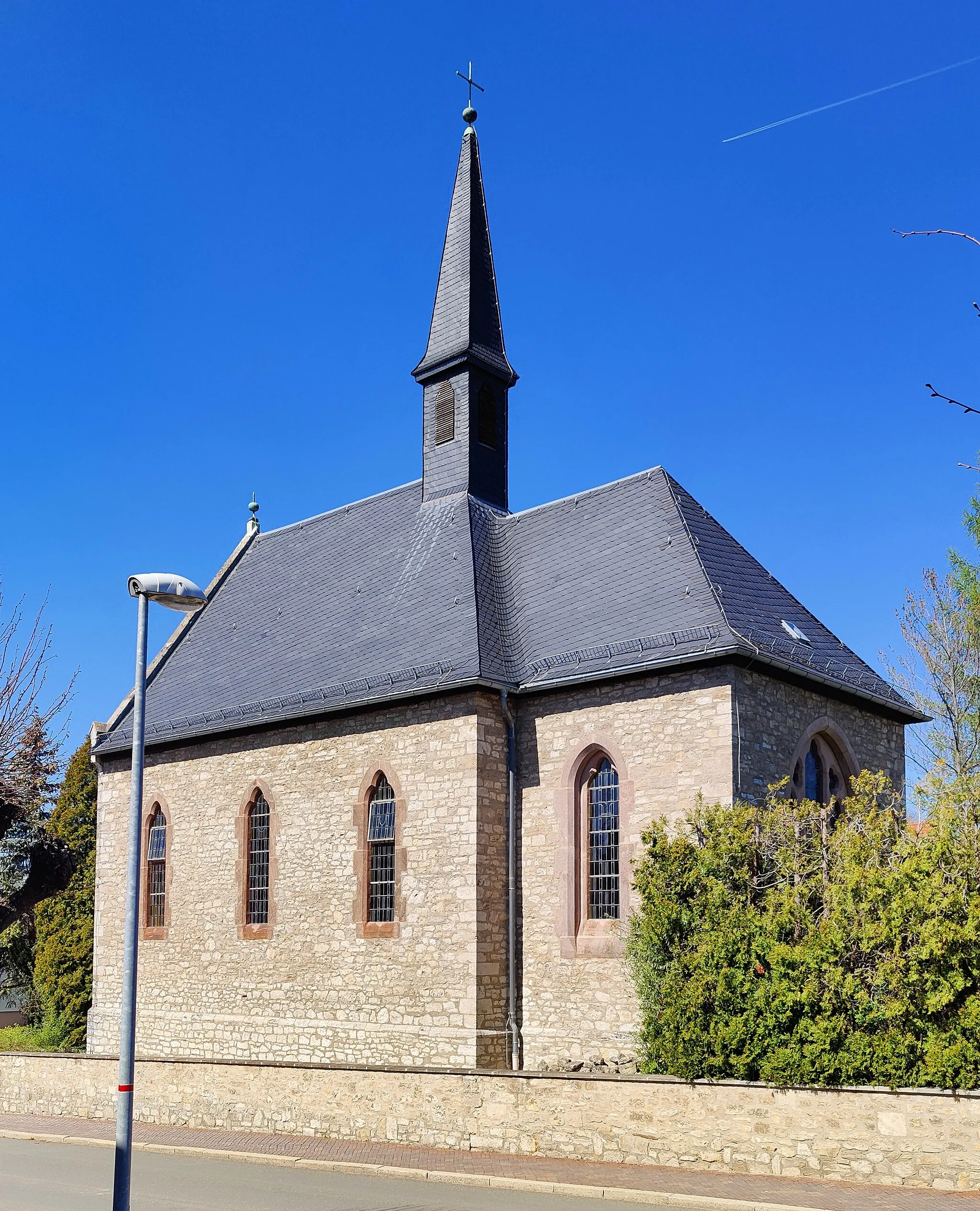
Brühl629 mPeakBrühl is rich in history and features several historic buildings, including an ancient bell tower.
12 km
12 km
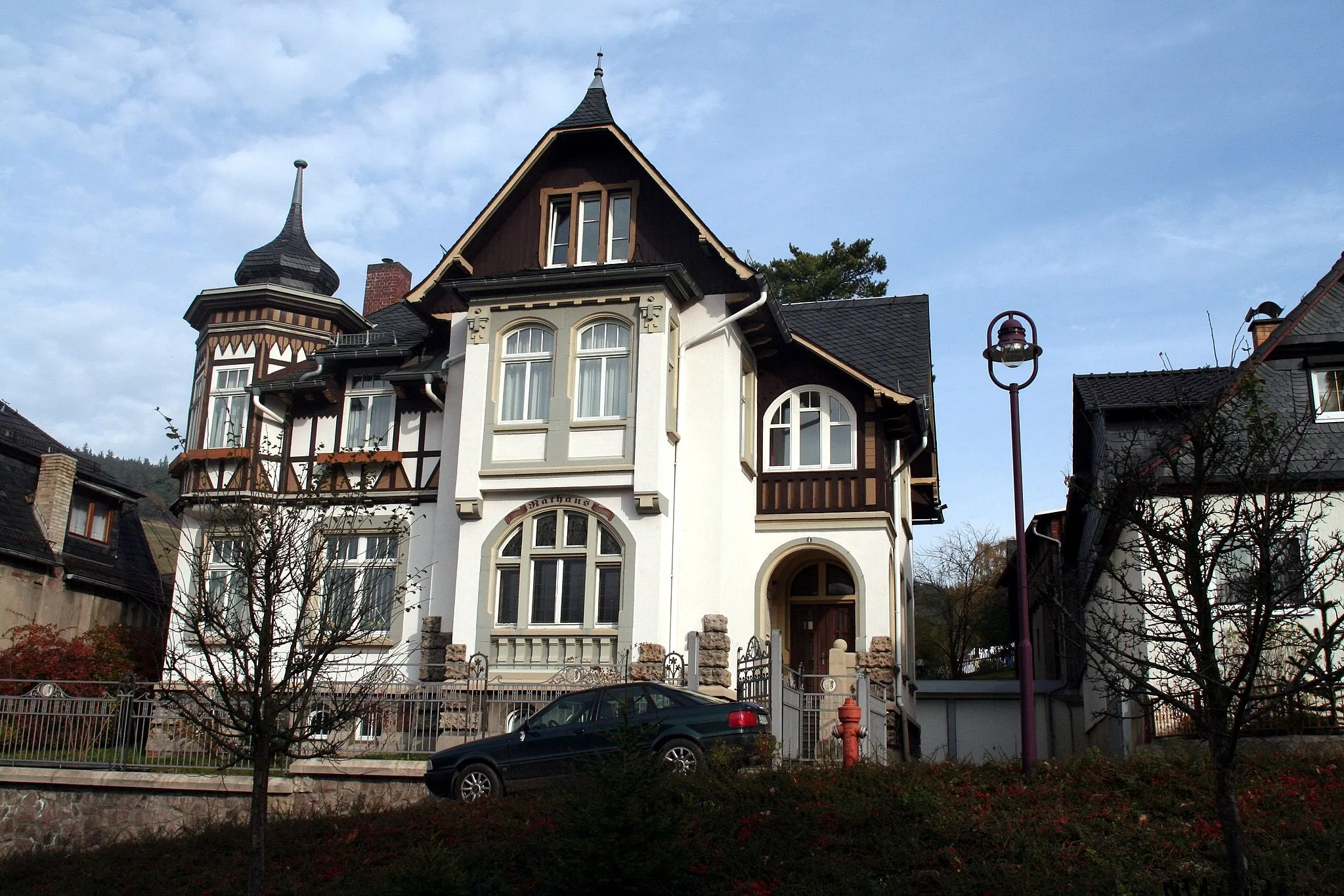
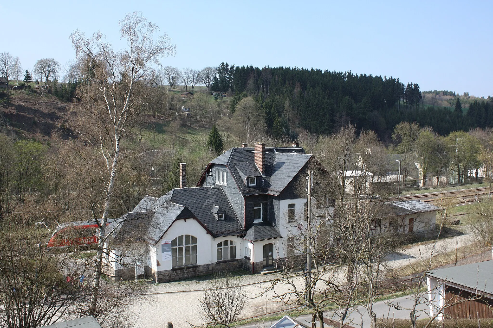
ProbstzellaVillageProbstzella is home to the fascinating Station Cultural Center, which showcases the region's railway heritage.
26 km
26 km
SchmiedefeldVillageSchmiedefeld is a mountain village with breathtaking views and offers various hiking trails for outdoor enthusiasts.
32 km
32 km
Apelsberg785 mPeakApelsberg is a small hamlet surrounded by lush green meadows and forests.
43 km
43 km
KatzhütteVillageKatzhütte is renowned for its traditional pottery production and has a charming old town to explore.
51 km
51 km
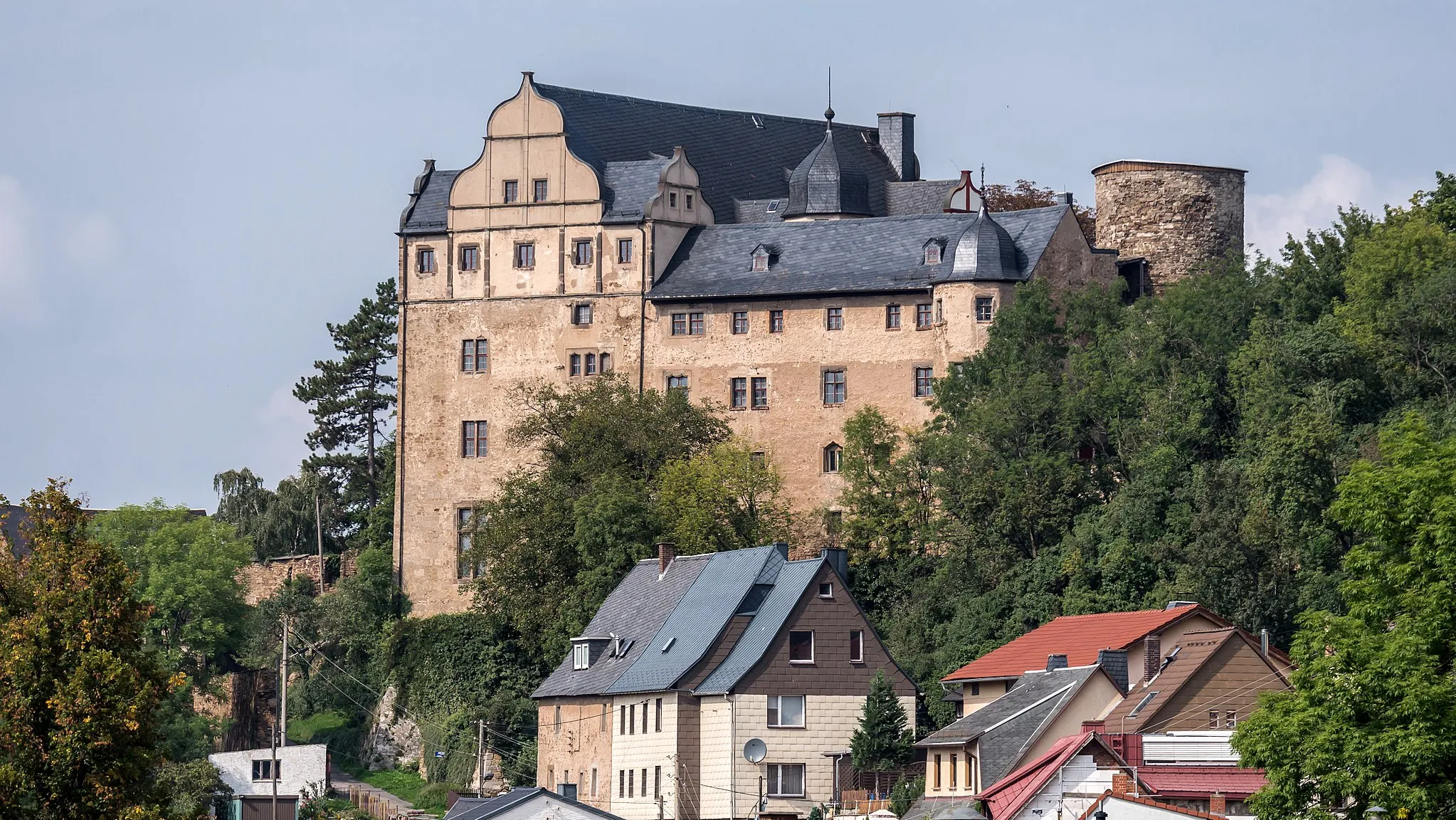
Mittelberg697 mPeakMittelberg is a unique rock formation that served as a medieval defense site.
58 km
58 km
UnterweißbachVillageUnterweißbach is known for its historic industrial sites that were once key players in the region's economy.
60 km
60 km
BielsteinViewpointBielstein boasts idyllic rural landscapes and is home to several quaint villages.
71 km
71 km
Klingeberg593 mPeakKlingeberg is a quiet village that offers peaceful walks along its beautiful stream.
81 km
81 km
SaalfeldTownSaalfeld is famous for its Fairy Grottoes, a magical underground world full of stalactites and stalagmites.
91 km
91 km
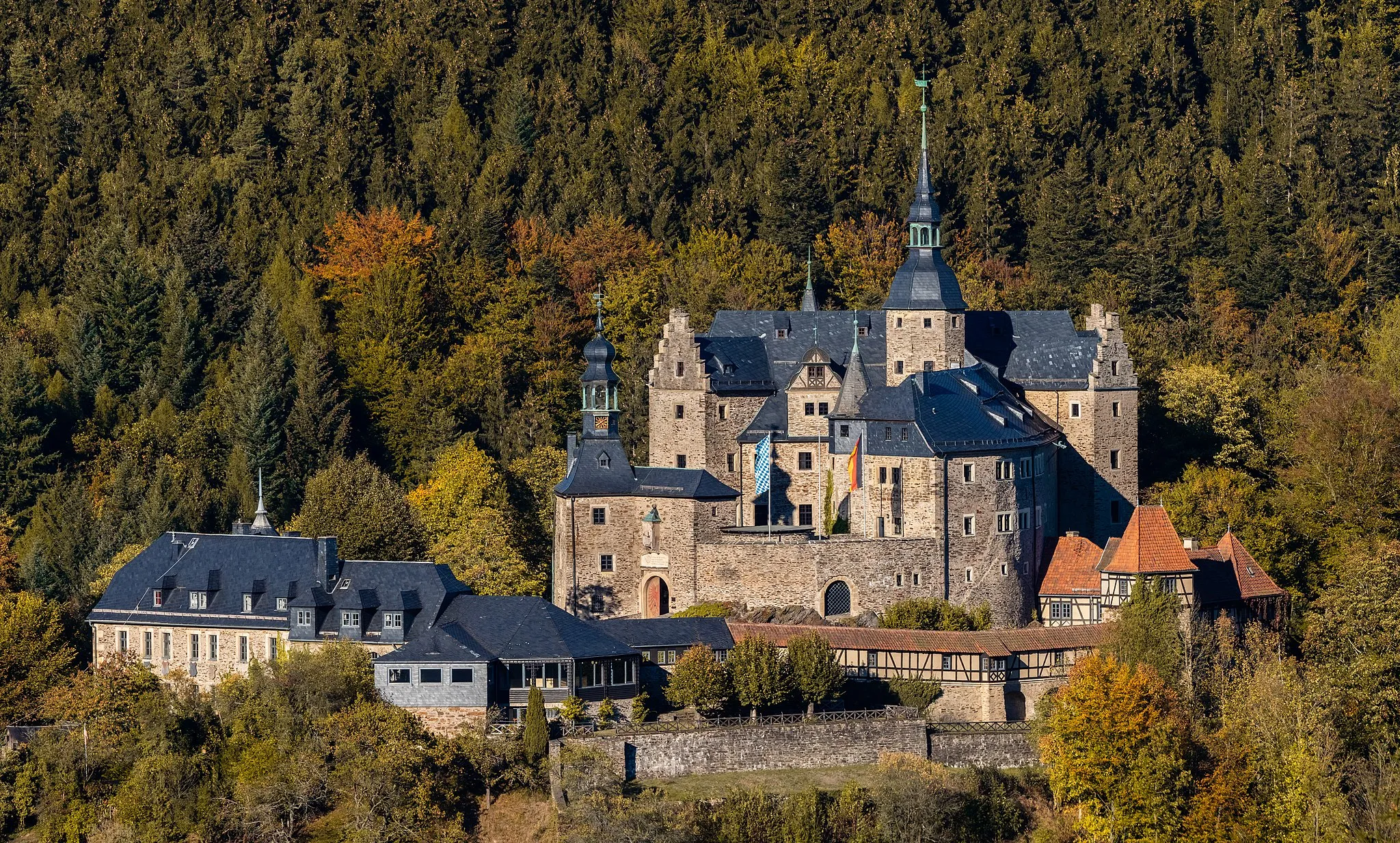
Schloß EichichtCastleSchloß Eichicht is a magnificent castle surrounded by enchanting gardens and wooded hillsides.
95 km
95 km
Löhmberg501 mPeakLöhmberg features an ancient Roman watchtower and offers panoramic views from its elevated position.
97 km
97 km
Finish: Leutenberg Village centerLeutenberg: Embark on a cycling adventure through diverse terrain and conquer the famous Hohe Weg climb in Leutenberg, Germany.
Cycling routes from Leutenberg:
The Greifenstein Gravel Expedition Historical Highlights Gravel Route Thüringen Road Adventure The Probstzella Gravel Adventure The Thüringen Countryside Tour The Ludwigsstadt Road Challenge Thüringer Wald Adventure Gravel Adventure Trail Leutenberg Loop Slate Quarry Gravel Ride Gravel Tour: Hill Country Exploration Road Cycling: Thüringen Expedition Gravel Tour: Exploring Leutenberg and Surrounding Villages
Cycling routes nearby: