Panoramic Hill Ride
A road cycling route starting from Neudietendorf
Experience the thrill of conquering challenging hills while enjoying breathtaking views along the way.
Map
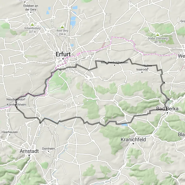
The Panoramic Hill Ride is a 76 km road cycling route that starts near Neudietendorf. With a total ascent of 645 meters, this route is suitable for well-trained amateur cyclists who are seeking a challenging ride. The route offers stunning panoramic views and highlights such as Hochheim, Domblick, Utzberg, Steinel, Schoppendorf, Hexenberg, Riechheimer Berg, Gügleben, Schülzenburg, and Kornhochheim.
road
76 km
645 m
Savage
Route profile
Highlights on the route
0 km
0 km
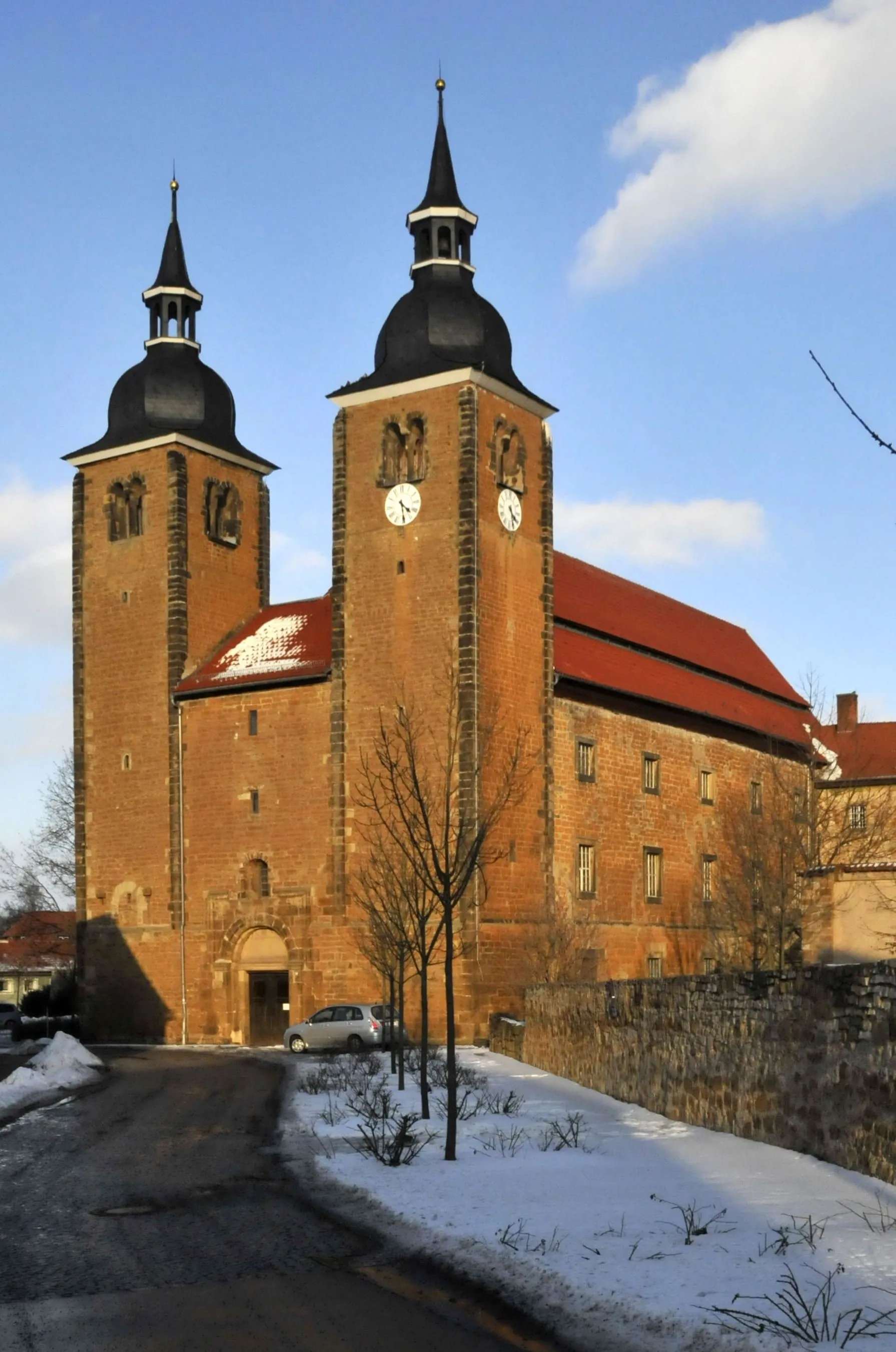
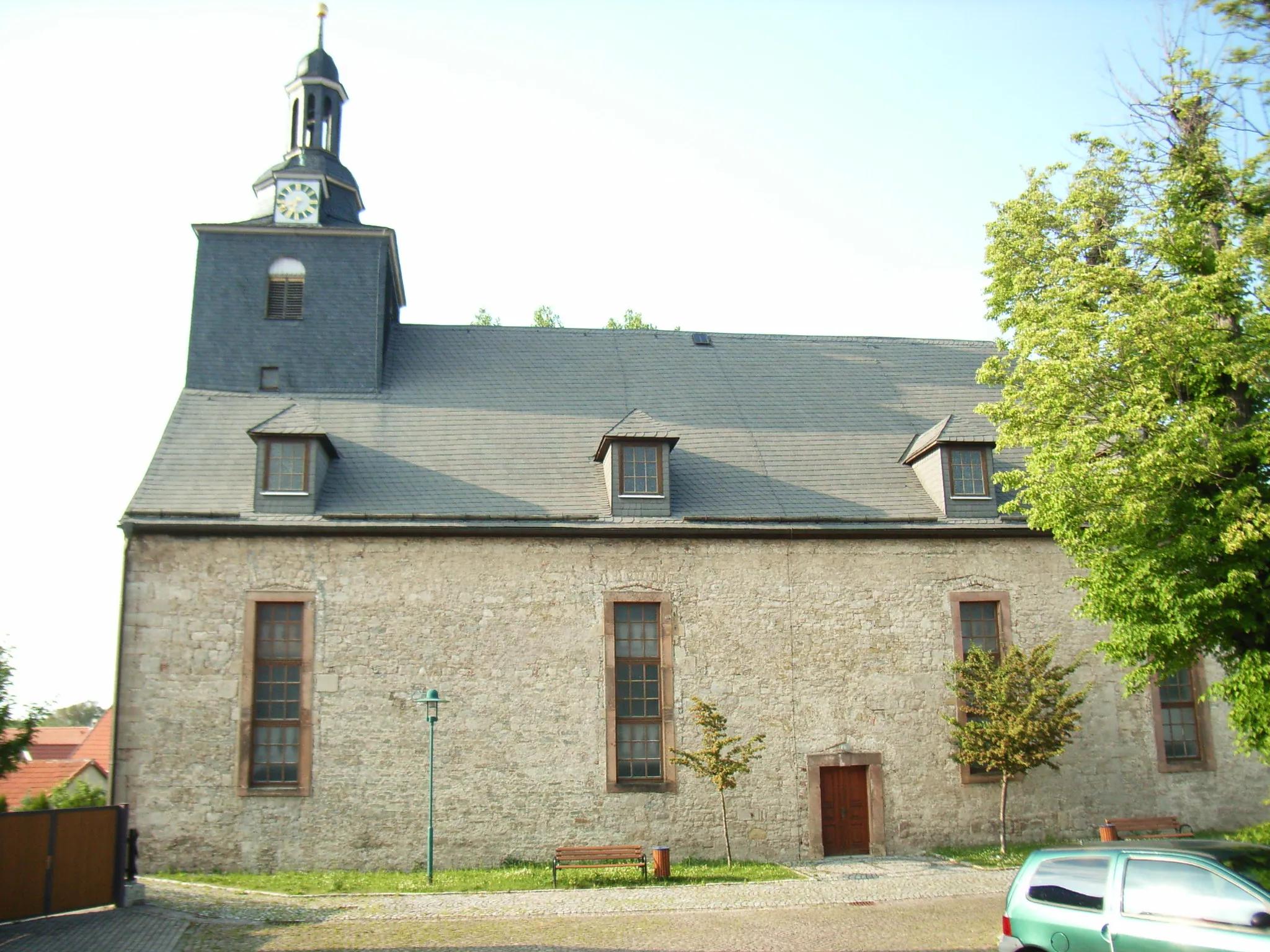
Start: Neudietendorf Village centerNeudietendorf: Scenic Cycling Adventure in Thüringen, Germany
Neudietendorf, located in Thüringen, Germany, is a fantastic locality for road and gravel cycling enthusiasts. The region offers a diverse range of cycling routes, traversing stunning landscapes and historical towns. Neudietendorf provides easy access to iconic cycling climbs nearby, such as the Rennsteig trail. Cyclists can expect excellent infrastructure and well-marked paths throughout the region, enhancing their riding experience. With its combination of beautiful scenery and exciting cycling opportunities, Neudietendorf is an ideal destination for cyclists seeking a mix of nature and history.10 km
10 km
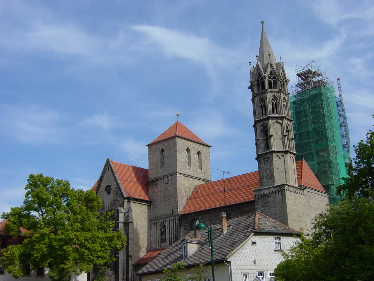
HochheimSub-urbHochheim is a small town with a historic town center. Take a moment to explore its streets and admire the architecture.
10 km
10 km
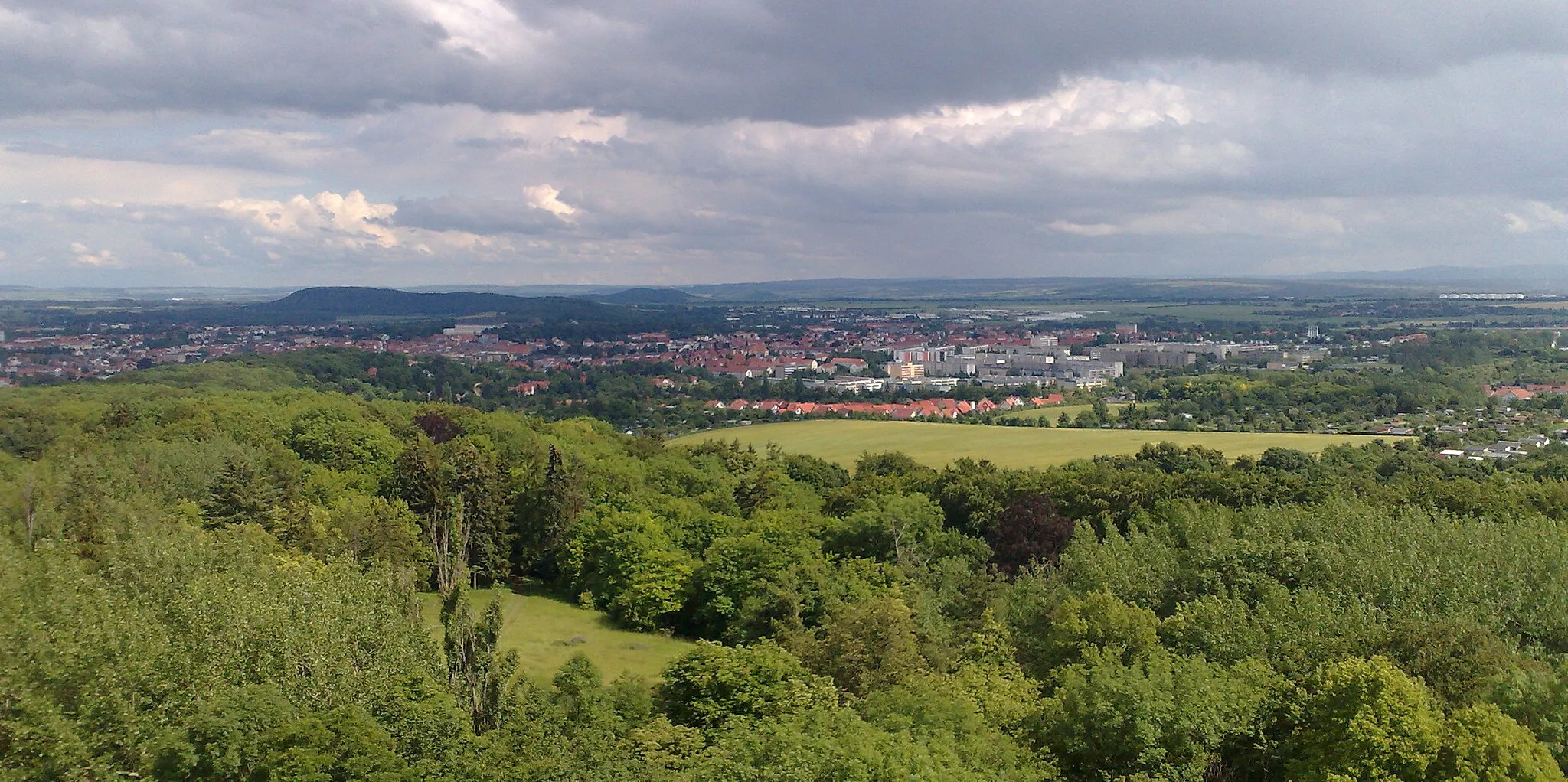
DomblickViewpointDomblick offers panoramic views of the surrounding countryside. Take a break and enjoy the beauty of the landscape.
27 km
27 km
Utzberg324 mVillageUtzberg is a challenging climb that rewards cyclists with stunning views at the top.
30 km
30 km
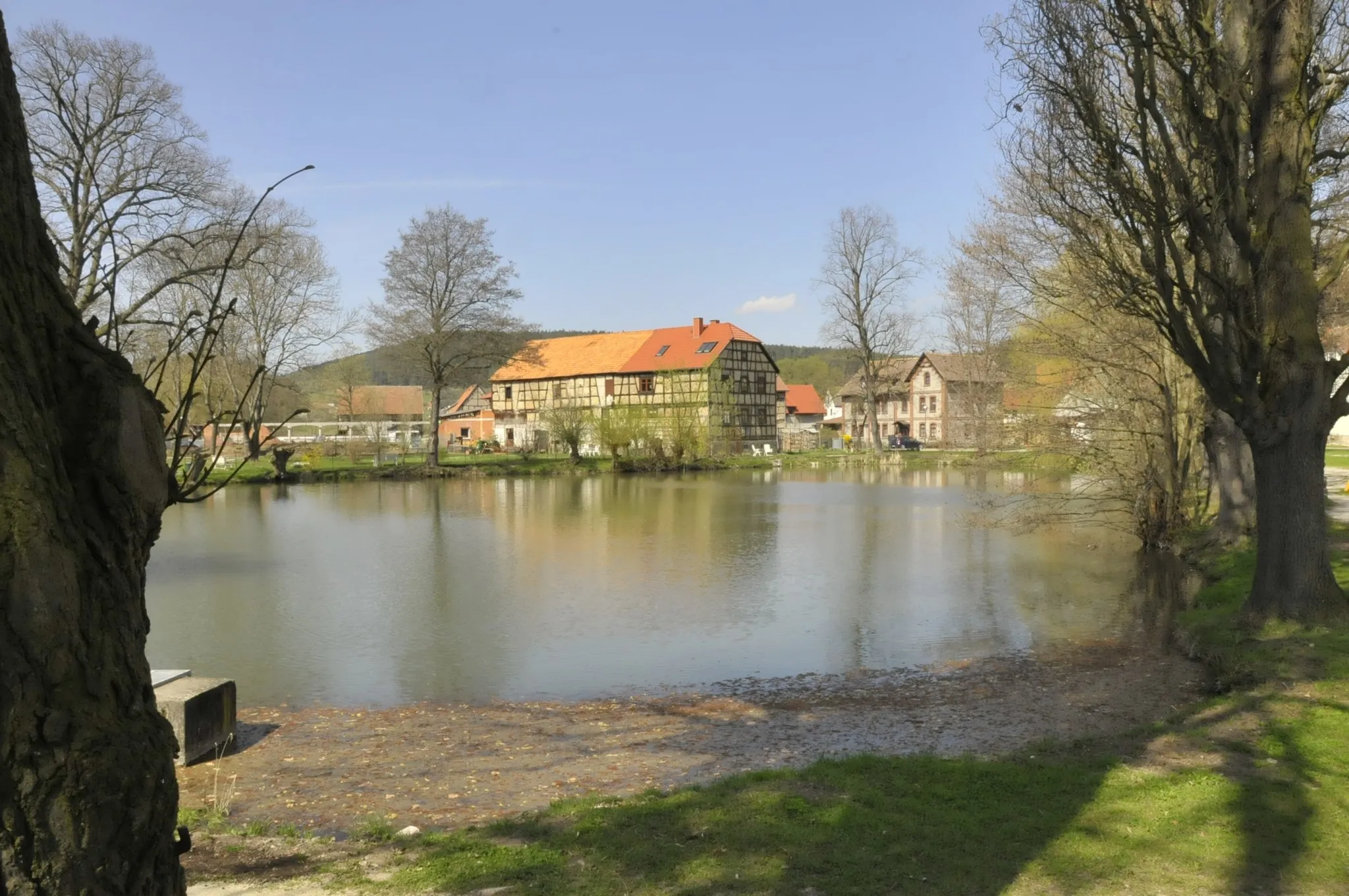
Steinel310 mPeakSteinel is a traditional Thuringian village known for its beautiful half-timbered houses. Take a moment to appreciate the architecture.
38 km
38 km
SchoppendorfVillageSchoppendorf is a small village with a rich agricultural heritage. Learn about the tradition of winemaking in the area.
41 km
41 km
Hexenberg434 mPeakHexenberg is a hill known for its beautiful forests and scenic views. Enjoy the tranquility as you cycle through the area.
55 km
55 km
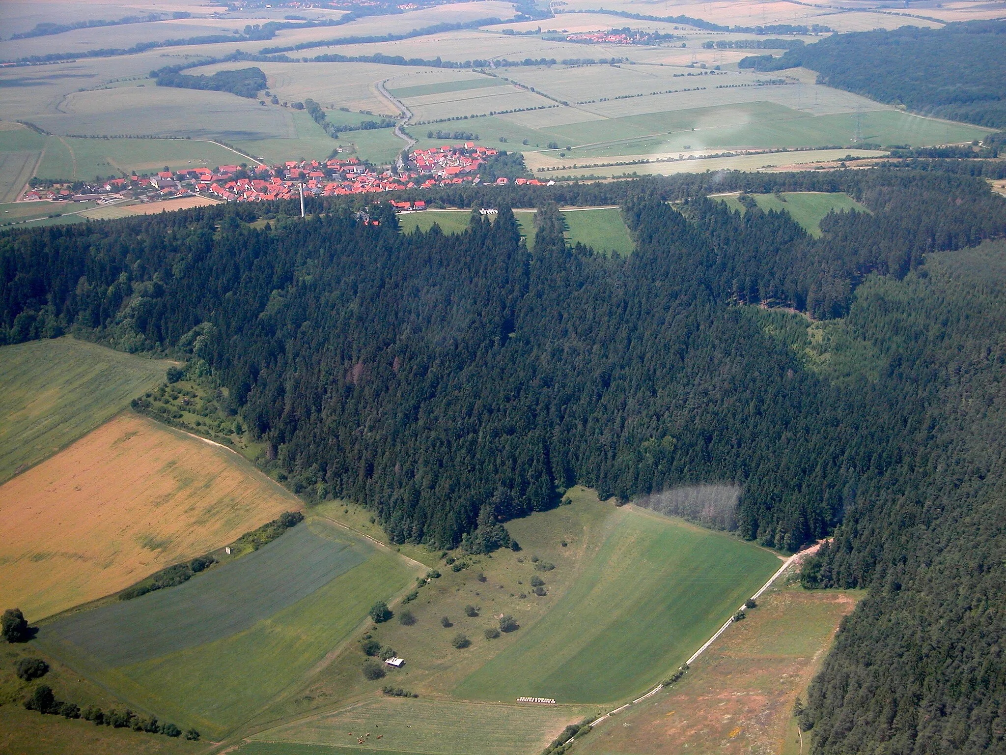
Riechheimer Berg513 mPeakRiechheimer Berg is an iconic climb in Thuringia, famous for its challenging gradient and breathtaking views at the top.
60 km
60 km
GüglebenVillageGügleben is a picturesque village surrounded by rolling hills. Take a break and enjoy the peaceful atmosphere.
67 km
67 km
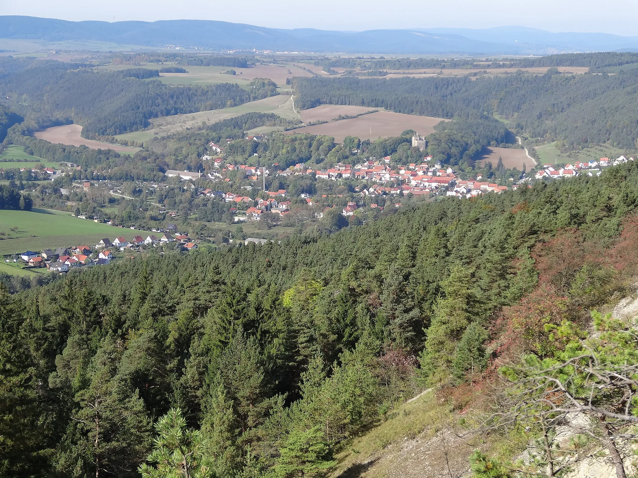
Schülzenburg267 mPeakSchülzenburg is a historic castle ruin that offers a glimpse into the region's medieval past.
75 km
75 km
KornhochheimVillageKornhochheim is a charming village with well-preserved architecture. Take a moment to explore the streets and enjoy the charm of the town.
76 km
76 km
Finish: Neudietendorf Village centerNeudietendorf: Scenic Cycling Adventure in Thüringen, Germany
Cycling routes nearby: