South Harz District Gravel Ride
A gravel cycling route starting from Niedersachswerfen
Ride through the picturesque landscapes and challenging terrain of the South Harz district on this gravel route.
Map
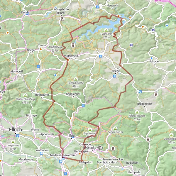
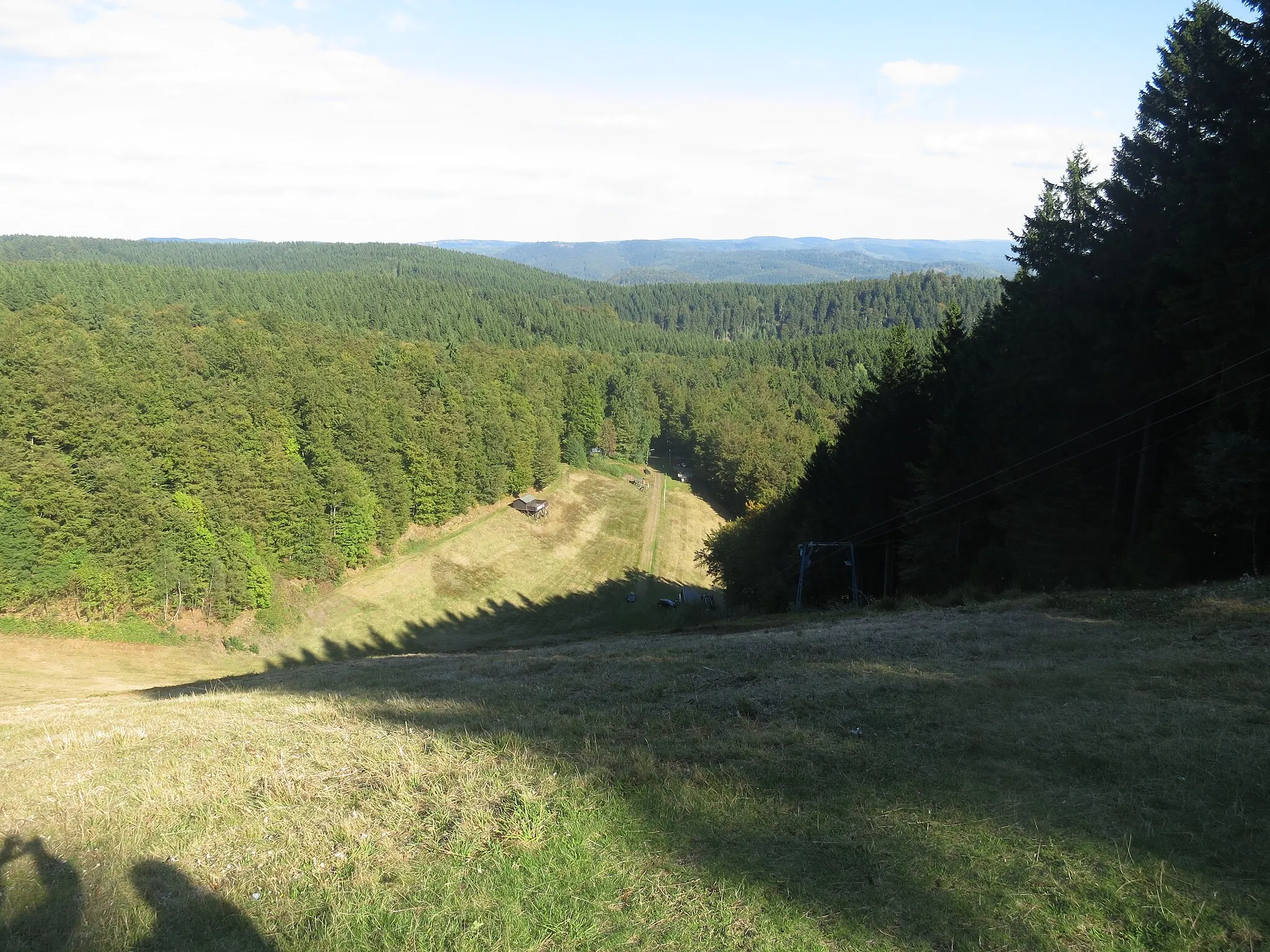
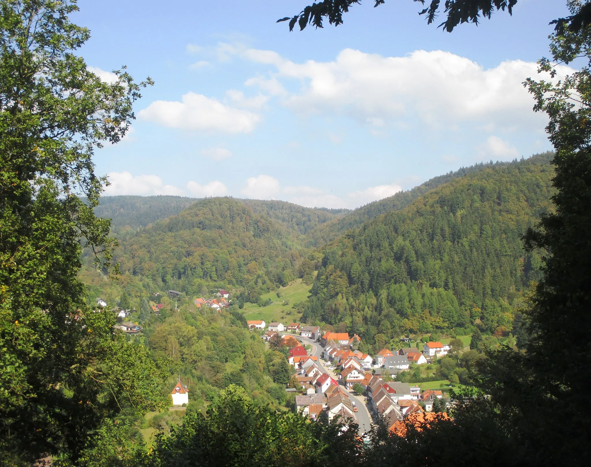
Experience the rugged beauty of the South Harz district on this gravel ride. With a total ascent of 1429 meters over 77 kilometers, this route will test your endurance and reward you with stunning views along the way. Highlights of the ride include the Totenkopf, Ruine Trageburg, Nickelsberg, Lerchenberg, Birkenmoor, Harzungen, and Lichte Höhe. Difficulty: 4 Epicness: 3
gravel
77 km
1429 m
Tough
Route profile
Highlights on the route
0 km
0 km
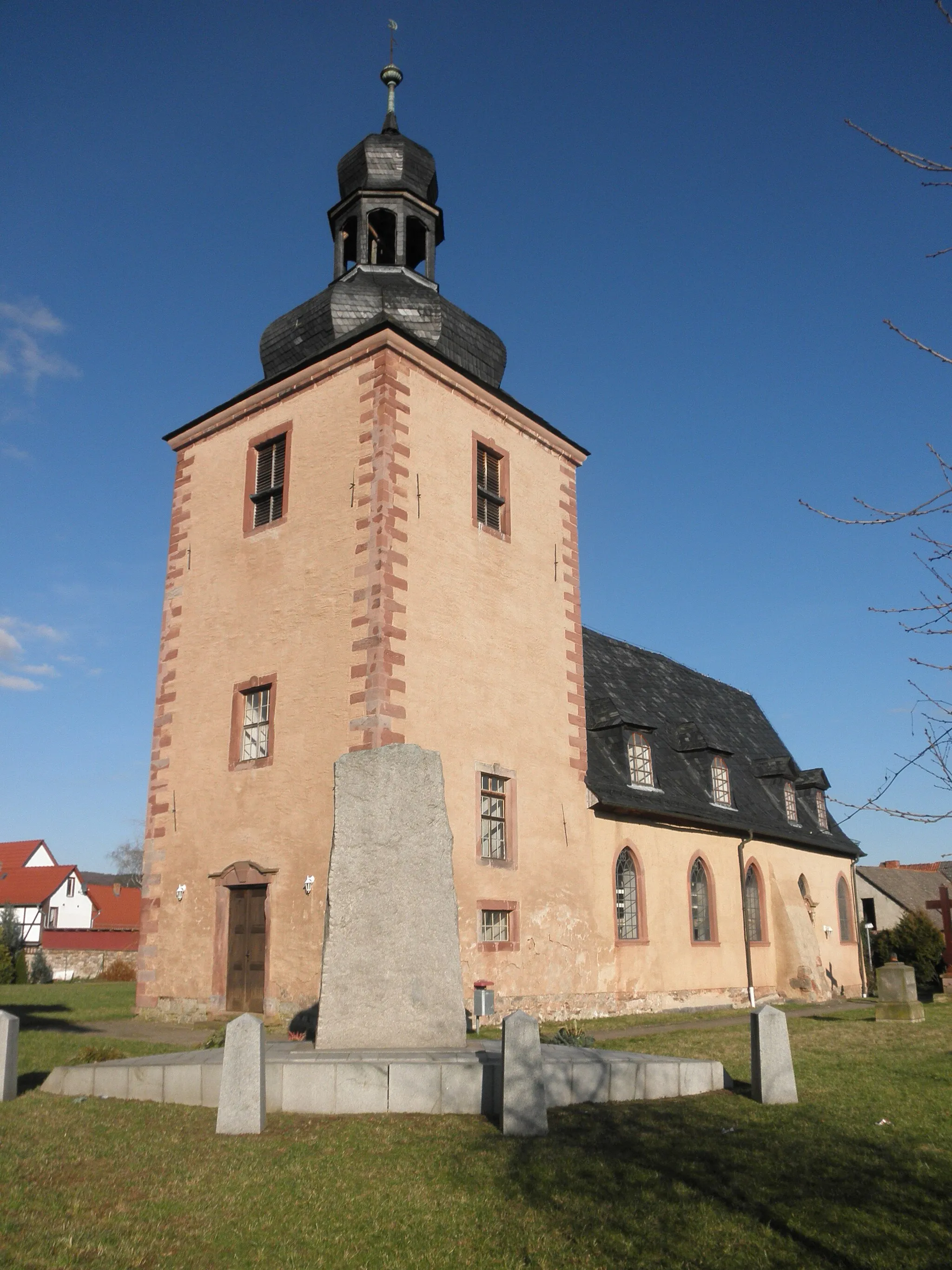
Start: Niedersachswerfen Village centerNiedersachswerfen: Cycling paradise in Thüringen
Niedersachswerfen is a small town located in the Thüringen region of Germany. From a cyclist's perspective, the locality offers several scenic roads and routes suitable for both road and gravel cycling. The terrain is mostly hilly, providing a decent challenge for cyclists. Niedersachswerfen is surrounded by beautiful countryside, making it a great destination for cycling enthusiasts looking to explore nature. One of the well-known climbs nearby is Kyffhäuser, which offers stunning views from the top. Overall, Niedersachswerfen is a fantastic locality for cyclists in Thüringen.8 km
8 km
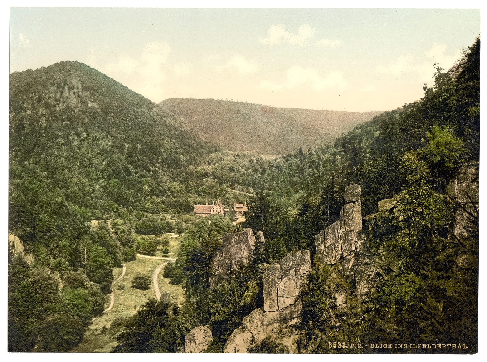
Totenkopf492 mPeakLocated 8 kilometers into the route, Totenkopf offers panoramic views over the surrounding countryside.
25 km
25 km
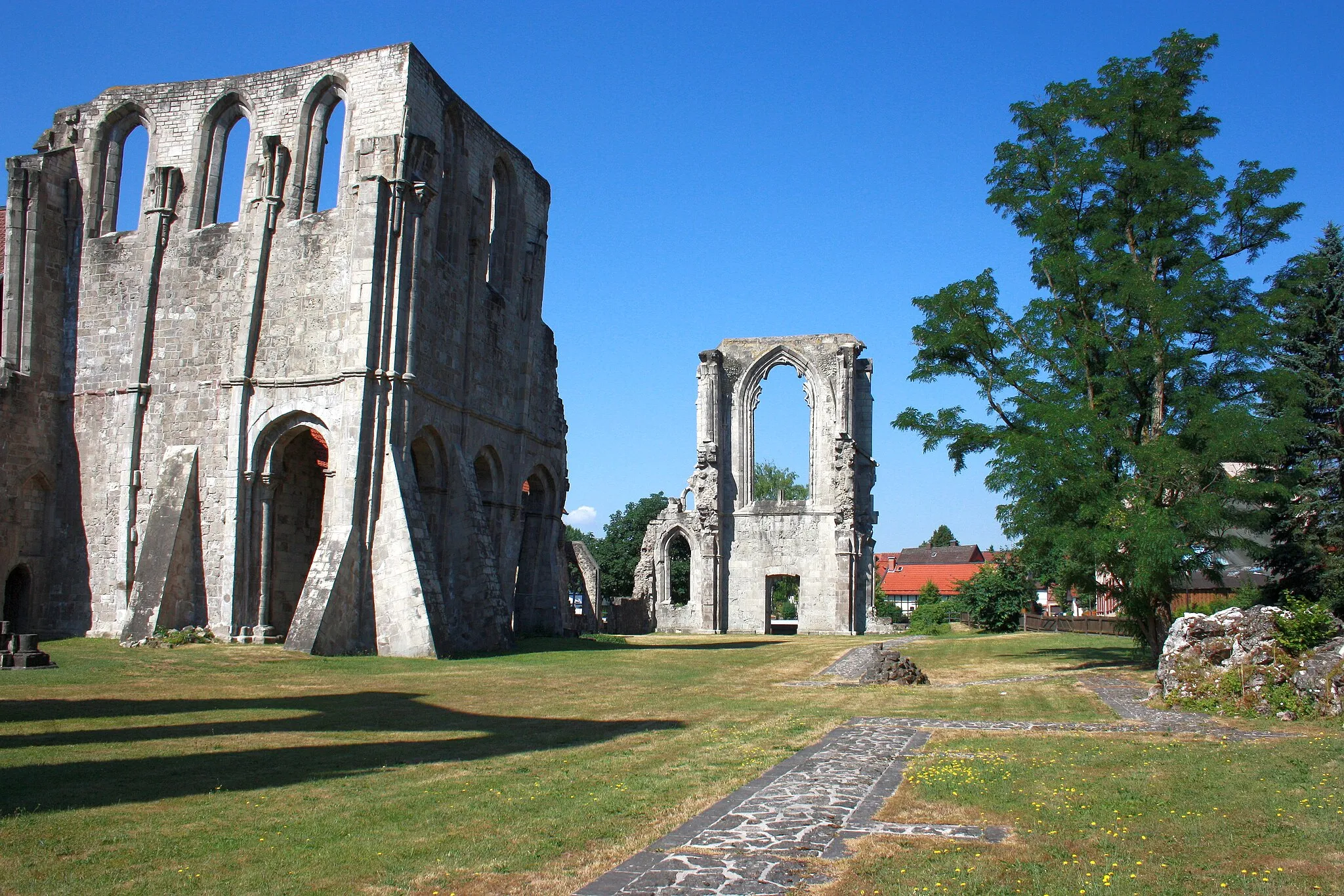
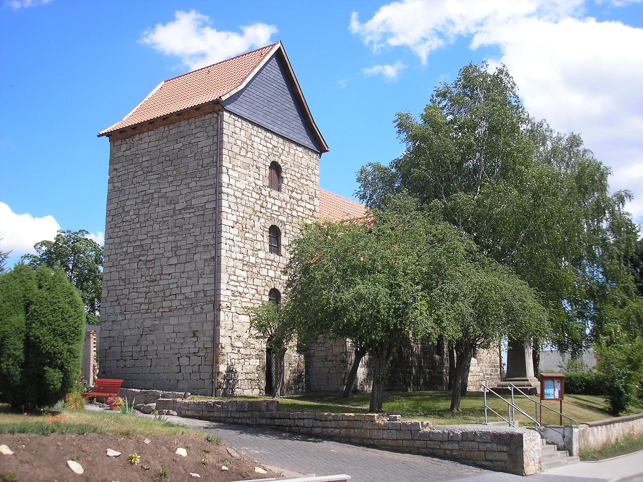
Ruine TrageburgCastleAt 25 kilometers, visit Ruine Trageburg, an ancient castle ruins that provides a glimpse into the region's history.
36 km
36 km
Nickelsberg488 mPeakNickelsberg at 36 kilometers offers a serene setting with a peaceful lake and a small chapel.
46 km
46 km
Lerchenberg494 mPeakLerchenberg at 46 kilometers is a popular vantage point to admire the South Harz district's wild beauty.
60 km
60 km
BirkenmoorHamletBirkenmoor at 60 kilometers is a nature reserve with diverse flora and fauna.
72 km
72 km
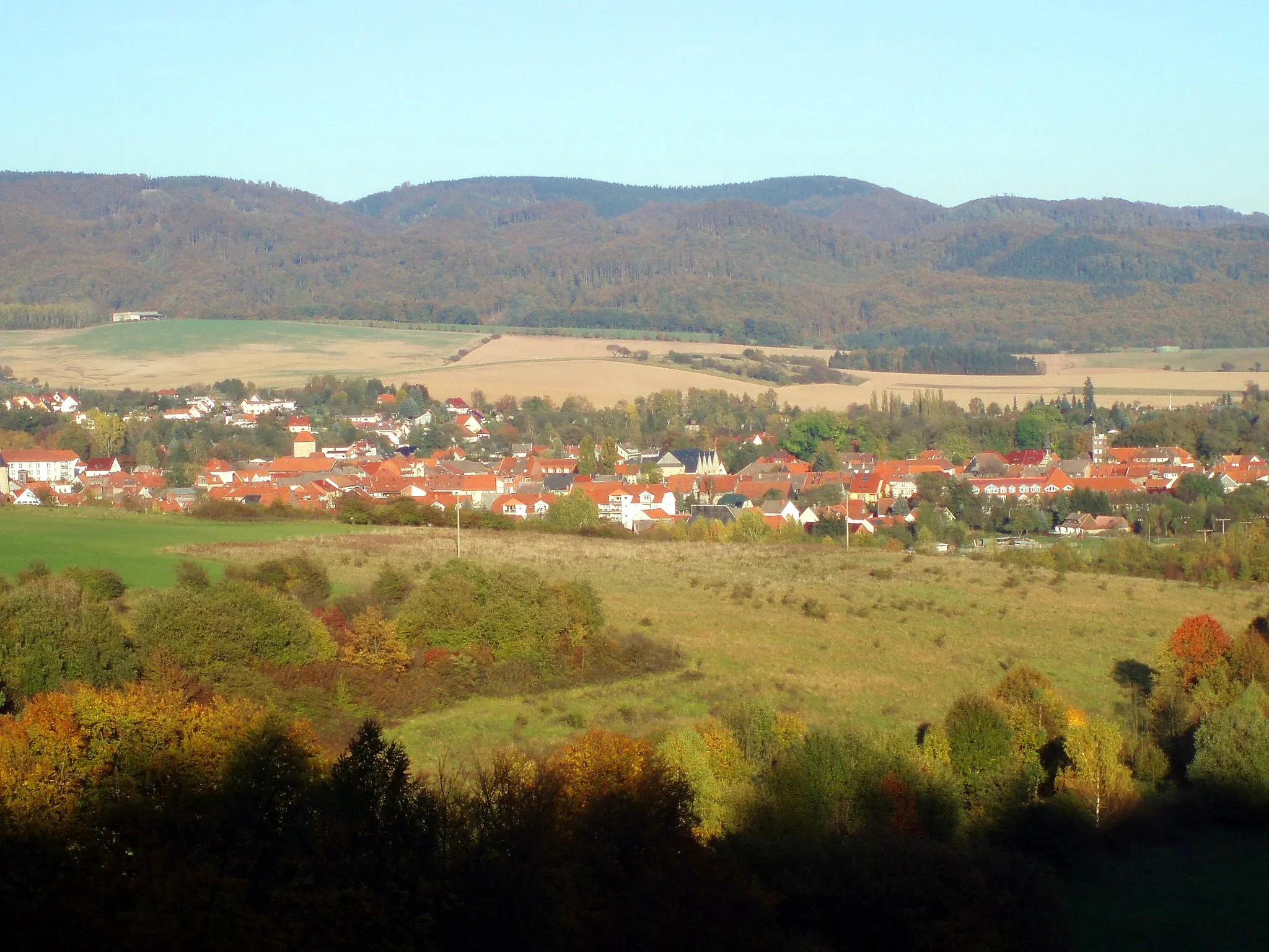
HarzungenVillageHarzungen at 72 kilometers is an idyllic village perfect for a refreshing break and a taste of local cuisine.
74 km
74 km
Lichte Höhe295 mPeakReach the summit of Lichte Höhe at 74 kilometers and enjoy breathtaking views of the Harz Mountains.
77 km
77 km
Finish: Niedersachswerfen Village centerNiedersachswerfen: Cycling paradise in Thüringen
Cycling routes from Niedersachswerfen:
Cycling routes nearby: