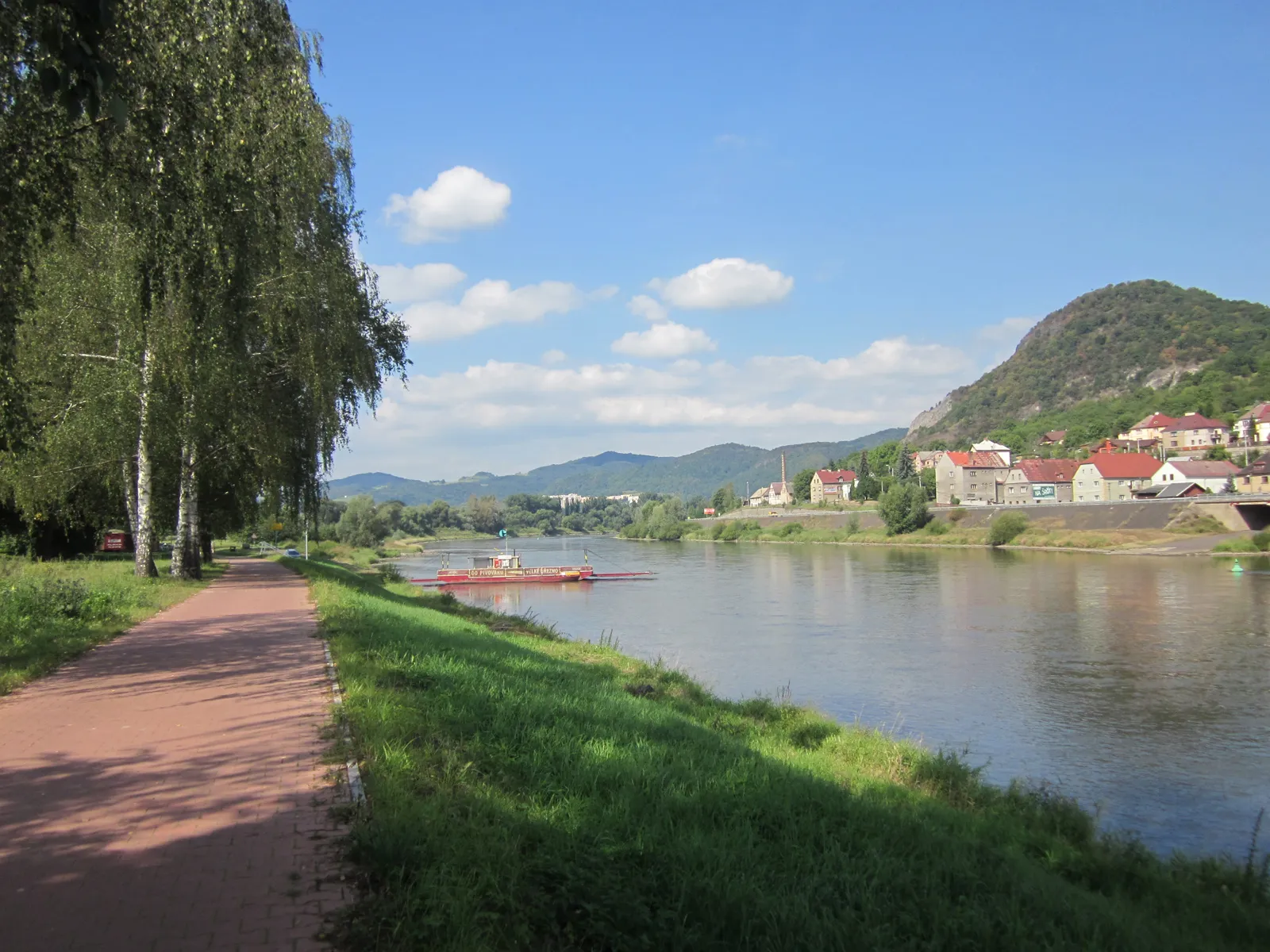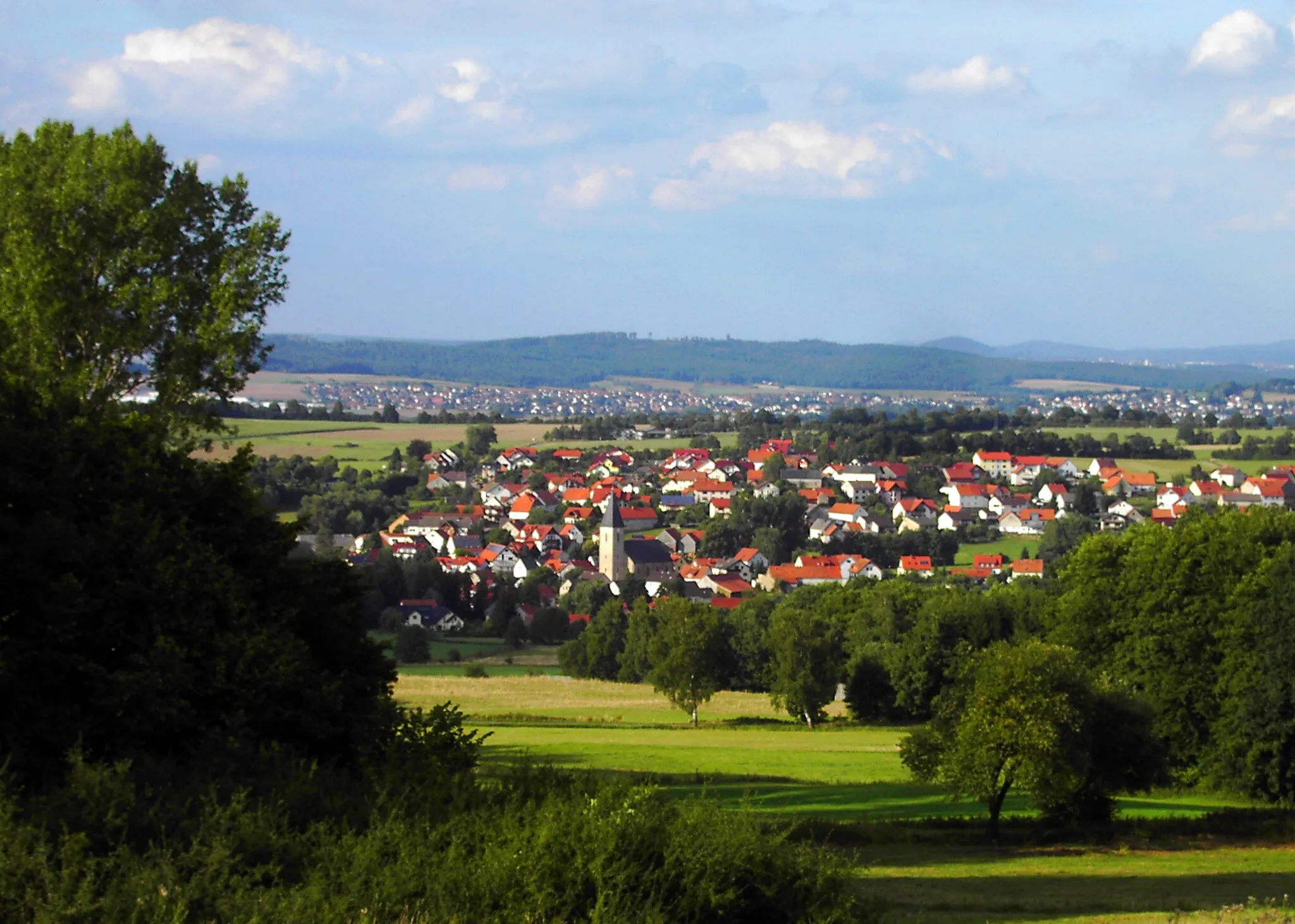
Cycling Paradise in Thüringen
Cycling routes from Oberhof
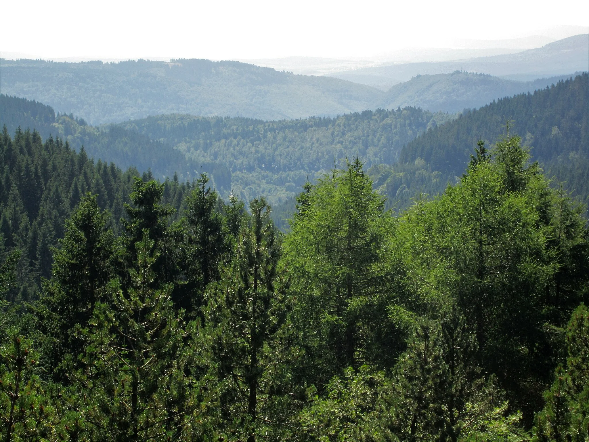
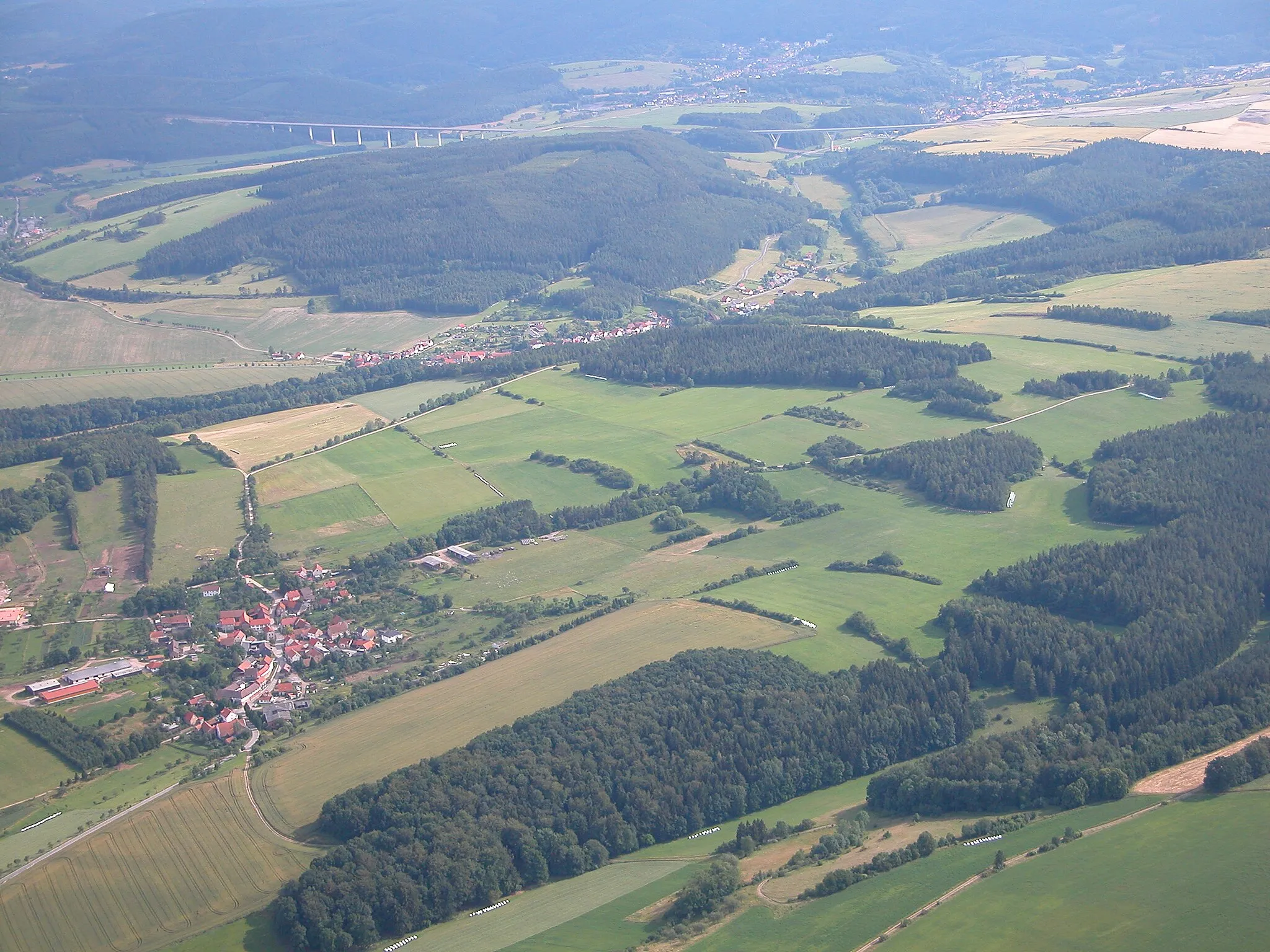
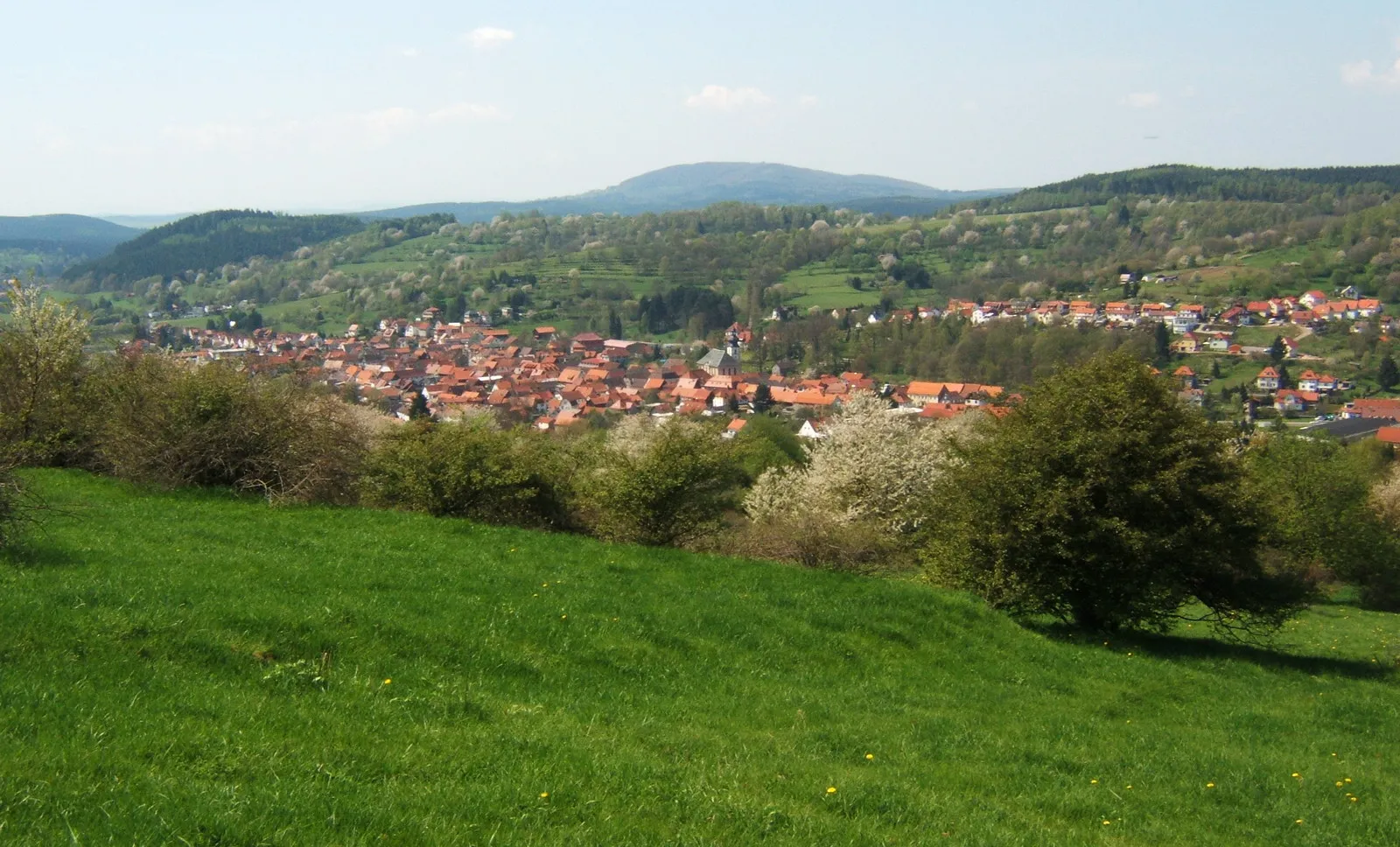
Oberhof, located in Thüringen, Germany, is a great destination for road and gravel cycling enthusiasts. The locality offers a variety of scenic routes and challenging climbs that cater to all skill levels. One of the most famous cycling spots in Oberhof is the Rennsteig, a long-distance trail that offers breathtaking views and a thrilling experience. The region also hosts various cycling events throughout the year, attracting both locals and tourists. Overall, Oberhof is a popular destination for cyclists who seek challenging routes and picturesque landscapes.
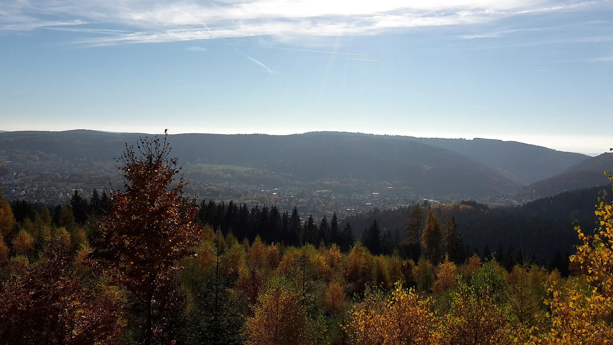
Exploring the Forests

Revel in the beauty of Thuringia's forests and explore hidden gems along this scenic gravel cycling route.
Embark on an exciting gravel adventure as you explore the enchanting forests of Thüringen on this 34-kilometer route. With a total ascent of 772 meters, this route offers a moderate challenge suitable for well-trained amateur cyclists. On this journey, pay homage to the Forstarbeiterdenkmal, a monument celebrating the hard work and dedication of forest workers. Discover Bermbach, a picturesque village famous for its scenic surroundings and charming architecture. As you traverse through the verdant landscapes, don't miss the opportunity to explore the hidden gem of Großer Hermannsberg, offering breathtaking panoramic vistas. Conclude your cycling adventure at the captivating Schutzhütte "Stein 16," where you can rest, refuel, and revel in the tranquility of nature.
Forest Explorer

A thrilling gravel cycling route through the Thüringer forest.
The Forest Explorer route provides an adventurous off-road cycling experience through some of the most scenic parts of the Thüringer forest. With a total ascent of 1626 meters and a distance of 87 kilometers, this route is suitable for experienced gravel riders who enjoy a challenge. The highlights along the route include Frankenhain, a quaint village with traditional Thüringer architecture, Eisenberg, a picturesque town with historic landmarks, and Alteburgturm, an old tower with panoramic views. This route offers a thrilling and memorable cycling adventure.
Historic Thuringia Gravel Tour

Uncover the fascinating history of Thuringia as you navigate through its charming villages and enchanting landscape.
The Historic Thuringia Gravel Tour is a thrilling adventure that blends historical landmarks, stunning landscapes, and challenging gravel roads. With a distance of 66 kilometers and an ascent of 1402 meters, this route offers a moderate-level challenge suitable for well-trained amateur cyclists. Begin your journey at the popular E-Tankstelle, where you can recharge before setting out to discover the highlights of Thuringia. Visit the historic village of Schmücke, renowned for its cultural heritage and panoramic outlook. Don't miss the opportunity to explore the enchanting landscapes surrounding the serene mountain of Hohe Buche. As you pedal through the picturesque village of Hinternah, take in the majestic views and immerse yourself in its rich history. Experience the natural beauty of Donnersberg, known for its diverse flora and fauna, before concluding your adventure at the AWO SANO Ferienzentrum Oberhof/Rennsteig.

A challenging road cycling route through the Thüringer forest.
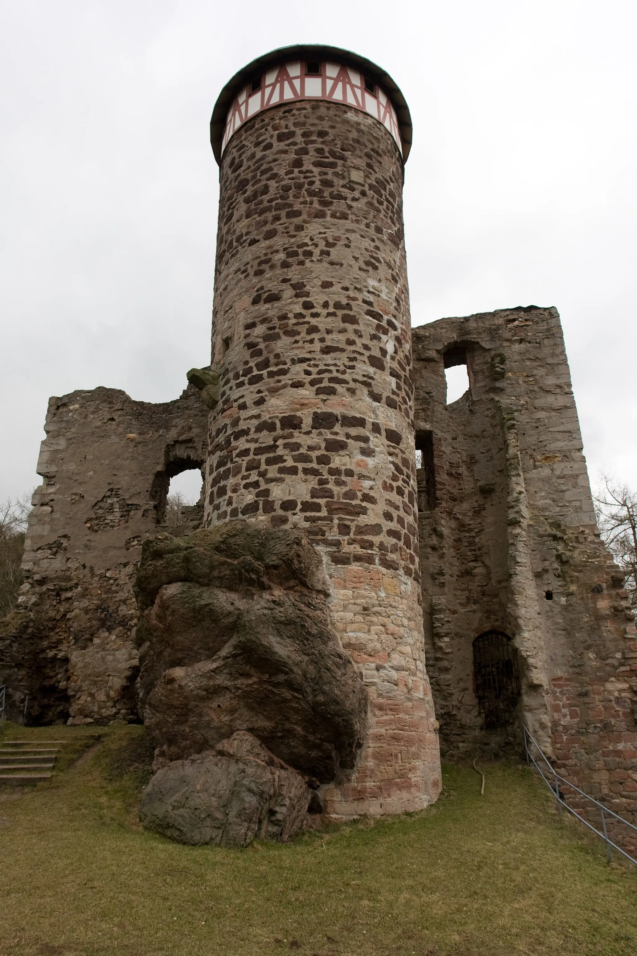
The Thüringer Forest Challenge is a demanding road cycling route that takes riders through some of the most beautiful parts of the Thüringer forest. With a total ascent of 1780 meters and a distance of 94 kilometers, this route is suitable for experienced cyclists looking for a challenge. The highlights along the route include the Schützenberg, a scenic lookout point, Steinbach-Hallenberg, a charming town with historic buildings, and Burg Schwarzwald, a medieval castle. This route offers a memorable cycling experience for riders who enjoy a tough challenge.

A breathtaking road cycling route with challenging climbs and stunning views
The Rondell Ridge Loop is a highly rewarding road cycling route starting near Oberhof in Thüringen, Germany. With a total distance of 52 kilometers and an elevation gain of 1125 meters, this route offers a thrilling experience for cycling enthusiasts. Prepare to be mesmerized by the majestic Gehlberg, Seiffartsburg, and Großer Finsterberg along the way. The beautiful town of Schmiedefeld am Rennsteig is definitely worth a visit for its charming atmosphere. For those seeking more adventure, the Döllberg and Zella-Mehlis sections will test your endurance. Don't forget to stop by the E-Tankstelle for a quick recharge before completing this epic journey.
Rennsteig Challenge

A challenging road cycling route along the famous Rennsteig trail.
The Rennsteig Challenge is a tough road cycling route that takes riders through some of the most scenic parts of Thüringen. The route includes several climbs and descents, providing an exhilarating experience for cyclists. With a total ascent of 1242 meters and a distance of 89 kilometers, the Rennsteig Challenge is suitable for experienced riders. The highlights along the route include E-Tankstelle, a charging station for electric bikes, Schmücke, a mountain pass, and Schleusingen, a picturesque town. Overall, this route offers a challenging but rewarding cycling experience.

Embark on an exhilarating road cycling adventure as you traverse through picturesque mountain landscapes.
The Scenic Mountain Loop takes you on a thrilling road cycling journey through idyllic mountainous landscapes and charming villages. With a total distance of 68 kilometers and an ascent of 1124 meters, this route caters to well-trained amateur cyclists seeking an exciting challenge. Begin your adventure at Großer Beerberg, the highest peak of the Thuringian Forest, and enjoy sweeping views of the surrounding natural beauty. As you pedal through Schmücke, soak in the peaceful atmosphere and explore its historical landmarks. Feel the adrenaline rush as you conquer the challenging climb of Kalter Staudenkopf, offering breathtaking panoramas along the way. Experience the tranquility of St. Kilian, a serene village nestled amidst lush greenery. Conclude your journey in Zella-Mehlis, a town known for its rich history and outdoor recreational opportunities.
Gravel Adventure

An adventurous gravel cycling route through the Thüringer forest.
The Gravel Adventure route takes cyclists on an exciting off-road journey through the Thüringer forest. With a total ascent of 985 meters and a distance of 51 kilometers, this route is suitable for experienced gravel riders. The highlights along the route include the E-Tankstelle, a charging station for electric bikes, the Forstarbeiterdenkmal, a monument honoring forest workers, and Spitterfall, a picturesque waterfall. This route offers a unique and thrilling experience for gravel cyclists.

Embark on an thrilling gravel biking adventure through the picturesque landscapes of the Thuringian Highlands.
The Thuringian Highlands Adventure is a thrilling gravel route that takes you on a captivating journey through the beautiful landscapes of Thüringen. Covering a distance of 92 kilometers and featuring an ascent of 1697 meters, this route offers a significant challenge to well-trained amateur cyclists. Benshausen, with its charming historic buildings, serves as the perfect starting point for this epic journey. Explore the quaint village of Brand, known for its idyllic setting and traditional architecture. As you venture further, don't miss the opportunity to visit Henriettenplatz, a vibrant cultural hub offering an array of activities and sights. The highlight of the route is the Schutzhütte "Axel," perched atop the mountains and offering breathtaking views of the region.
Rennsteig Loop

Experience the cross-section of Thuringian forests and panoramic landscapes on this scenic round-trip route.
The Rennsteig Loop is a challenging yet rewarding cycling route that takes you through the picturesque Thuringian landscape. With a total distance of 67 kilometers and an ascent of 958 meters, this road route provides a moderate-level challenge suitable for well-trained amateur cyclists. The highlight of this route is the Königsstuhl, a rocky formation offering breathtaking views of the surrounding countryside. Other highlights include Gossel, known for its charming village atmosphere, and Geraberg, home to historical buildings and cultural landmarks. The Rennsteig Loop is an epic cycling adventure that showcases the best of Thuringia's natural beauty and heritage.
Cycling routes nearby:

Nearby regions: