Cycle Amidst Breathtaking Landscapes and Conquer Rennsteig
Cycling routes from Steinbach-Hallenberg
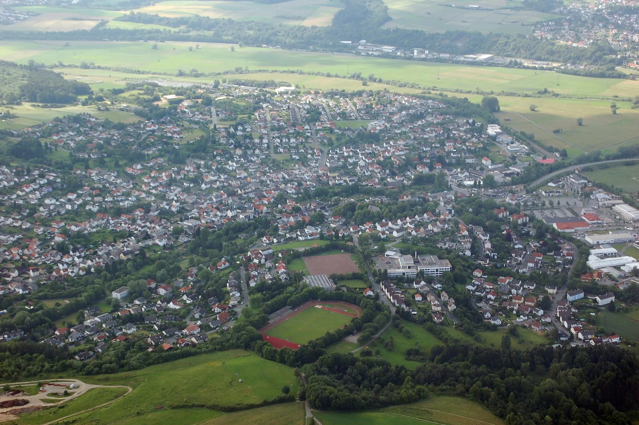
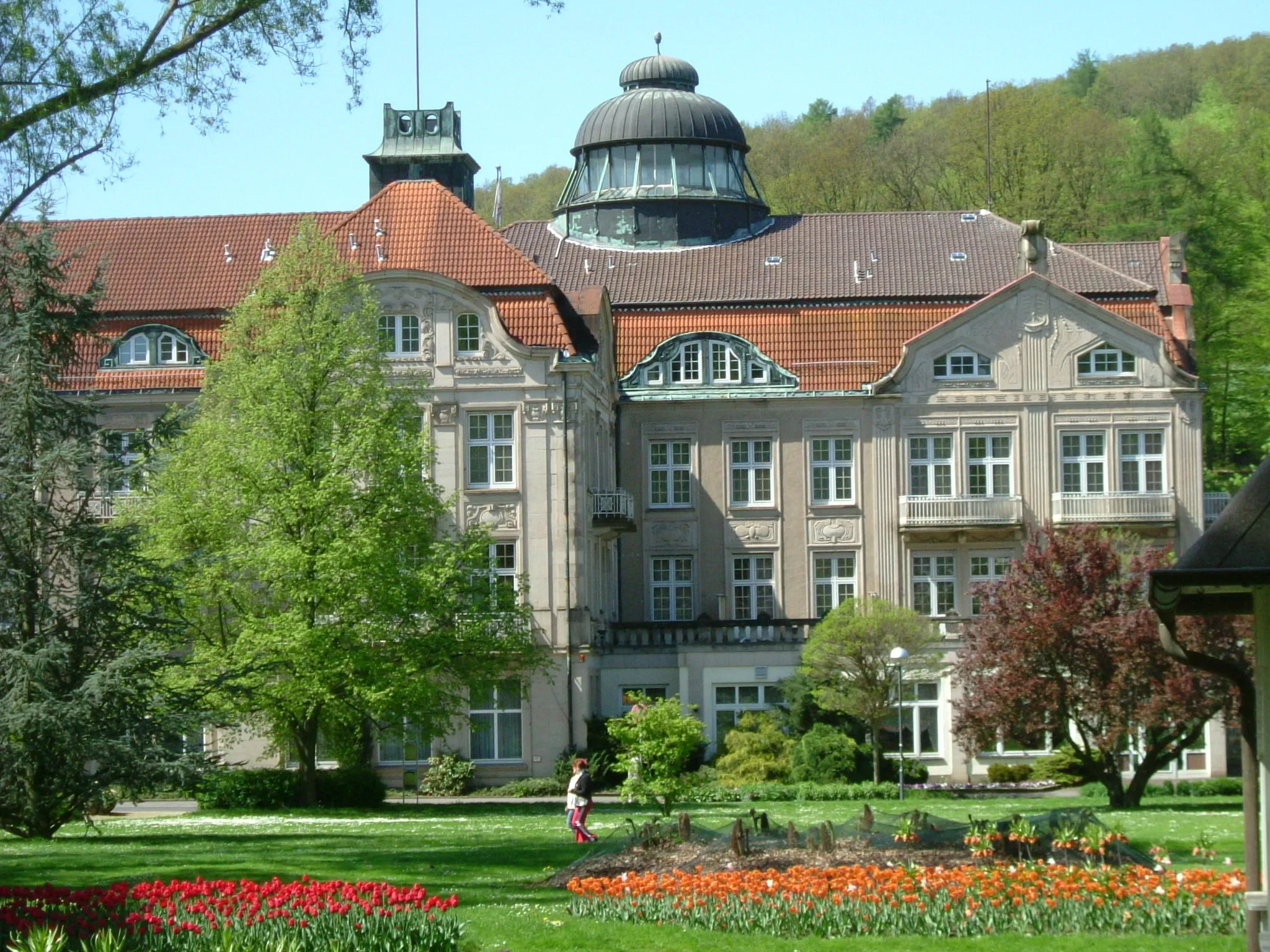
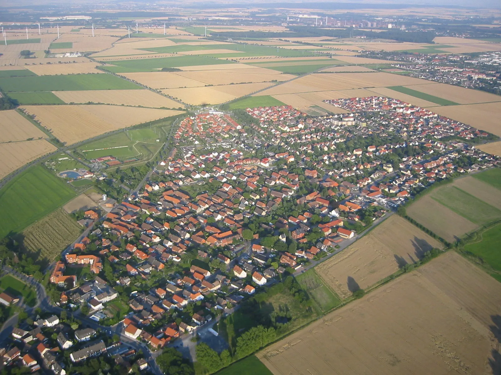
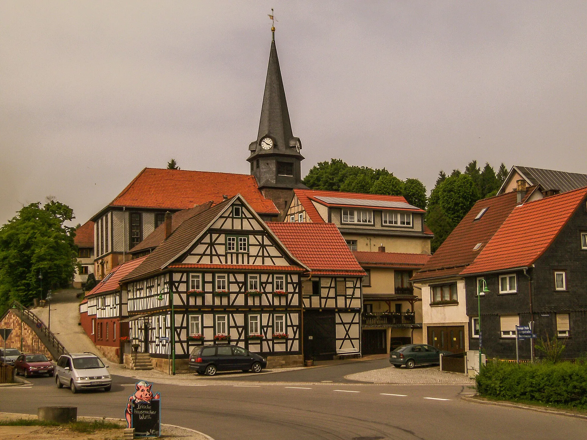
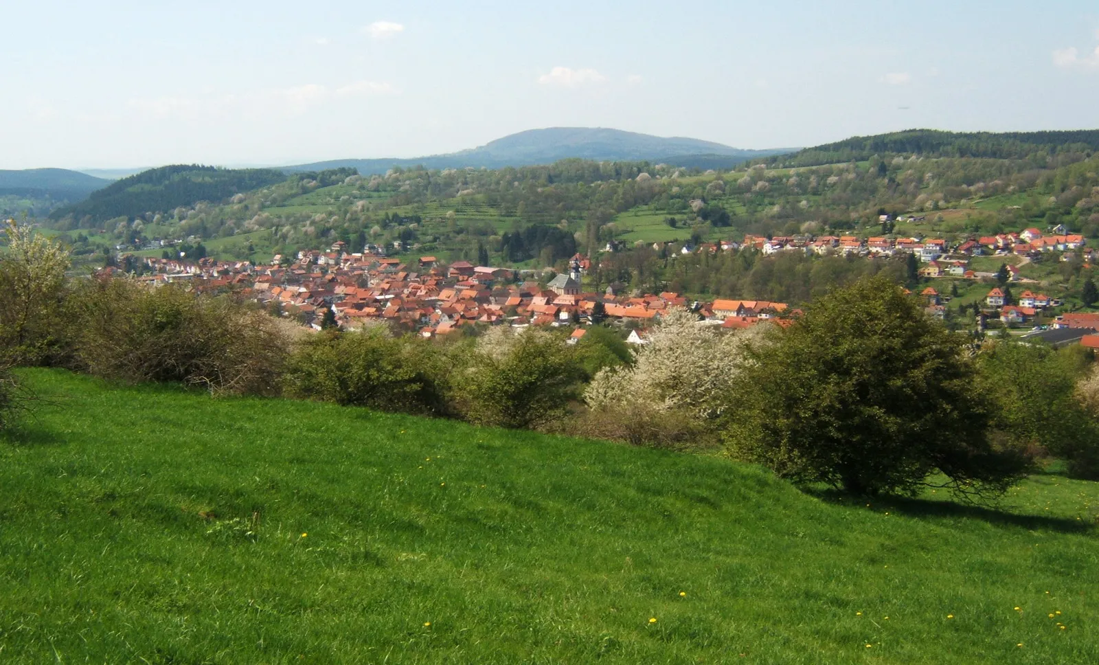
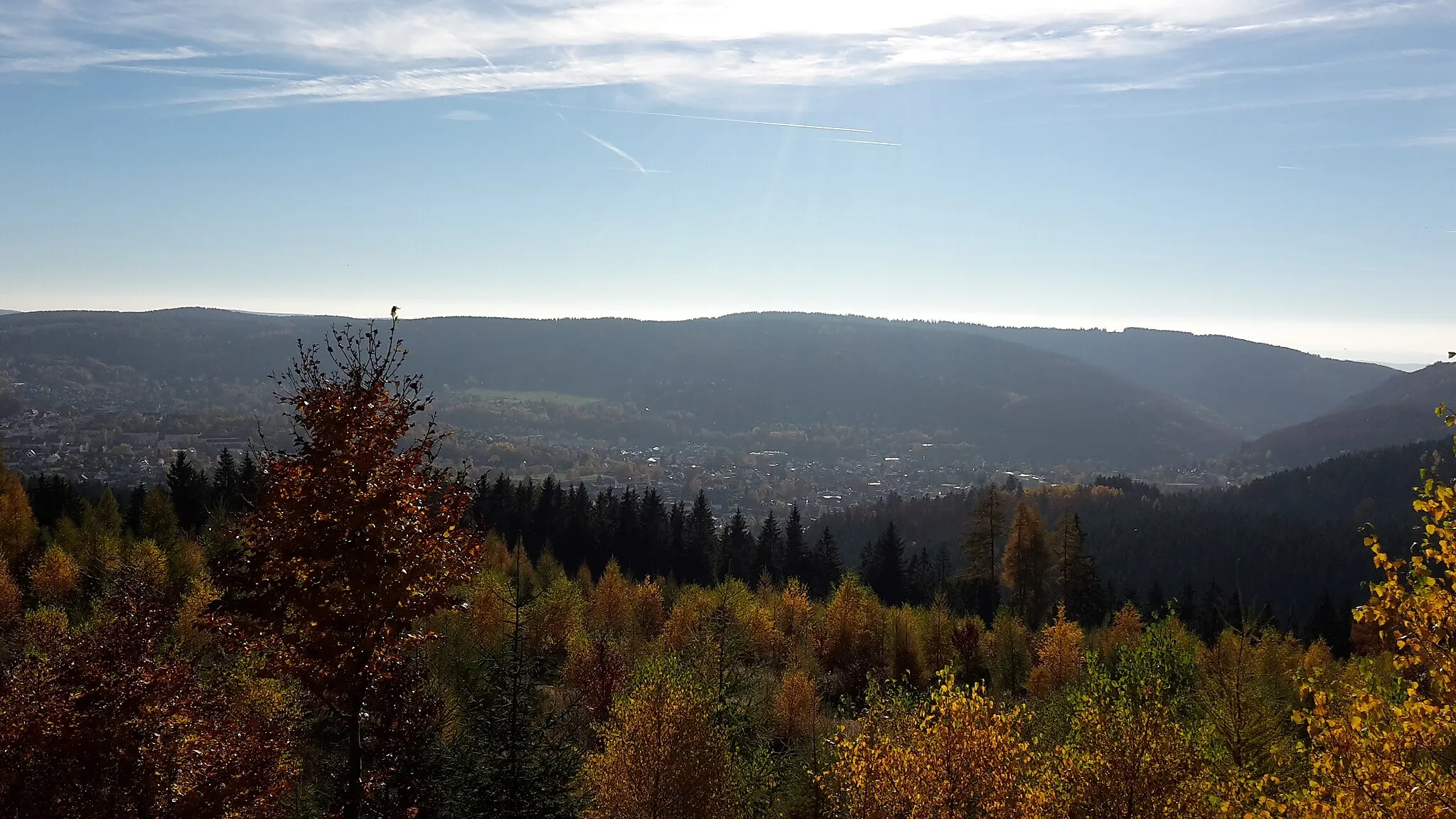
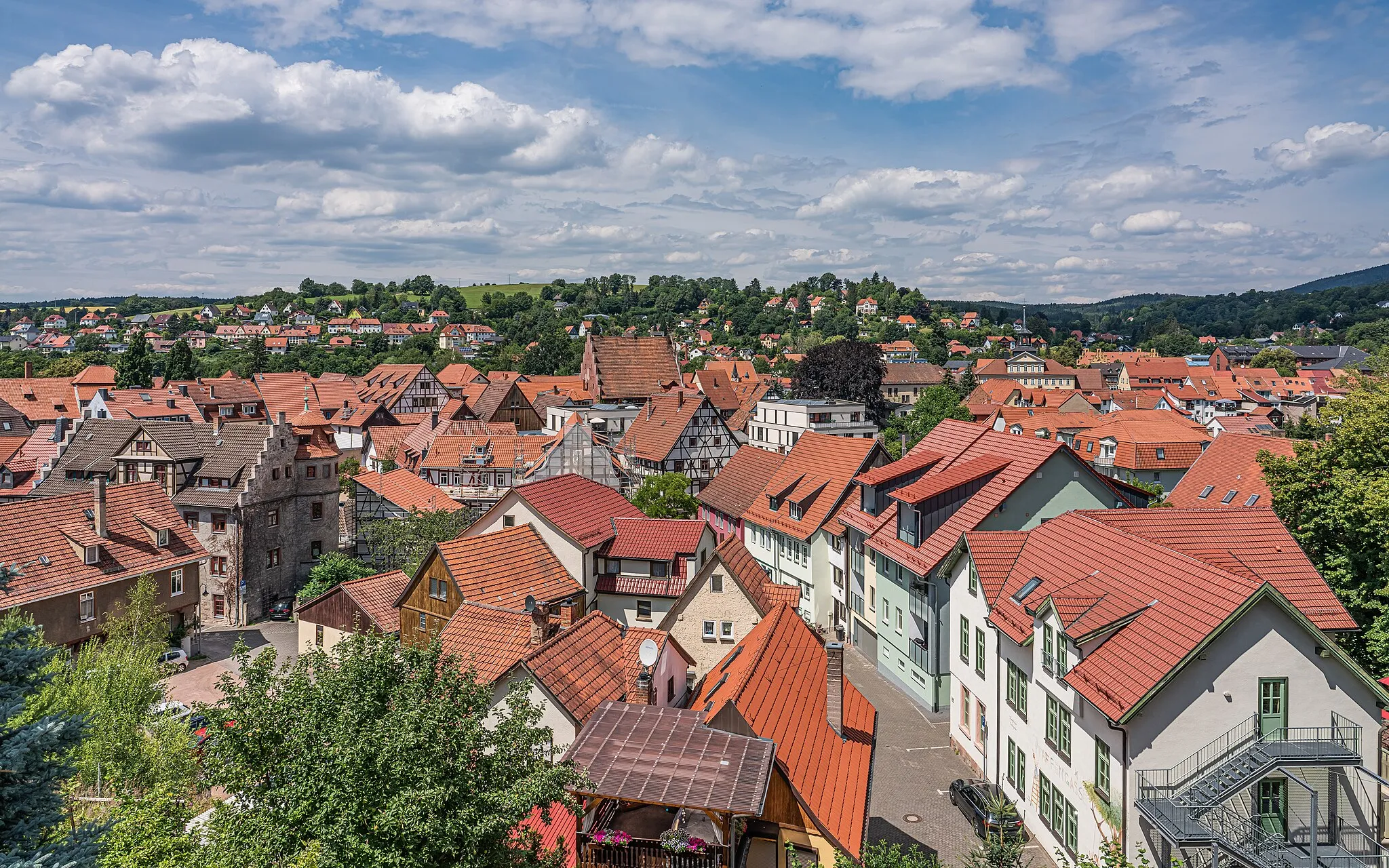
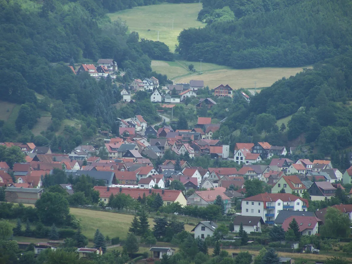
Steinbach-Hallenberg, located in Thüringen, Germany, is a delightful town that caters to road and gravel cycling enthusiasts. The region boasts diverse terrain, ranging from hilly landscapes to challenging mountain climbs, making it suitable for cyclists of all abilities. One of the well-known cycling spots near Steinbach-Hallenberg is the Rennsteig route, attracting both professional and recreational cyclists. Cyclists can explore the breathtaking landscapes and enjoy the tranquility of the surrounding nature. The town provides convenient access to bike rental facilities, repair shops, and cyclist-friendly accommodations. With its scenic beauty and diverse cycling options, Steinbach-Hallenberg is an excellent destination for cycling enthusiasts.
Rodlauf Loop
Explore scenic countryside and visit historical landmarks on this road cycling route.
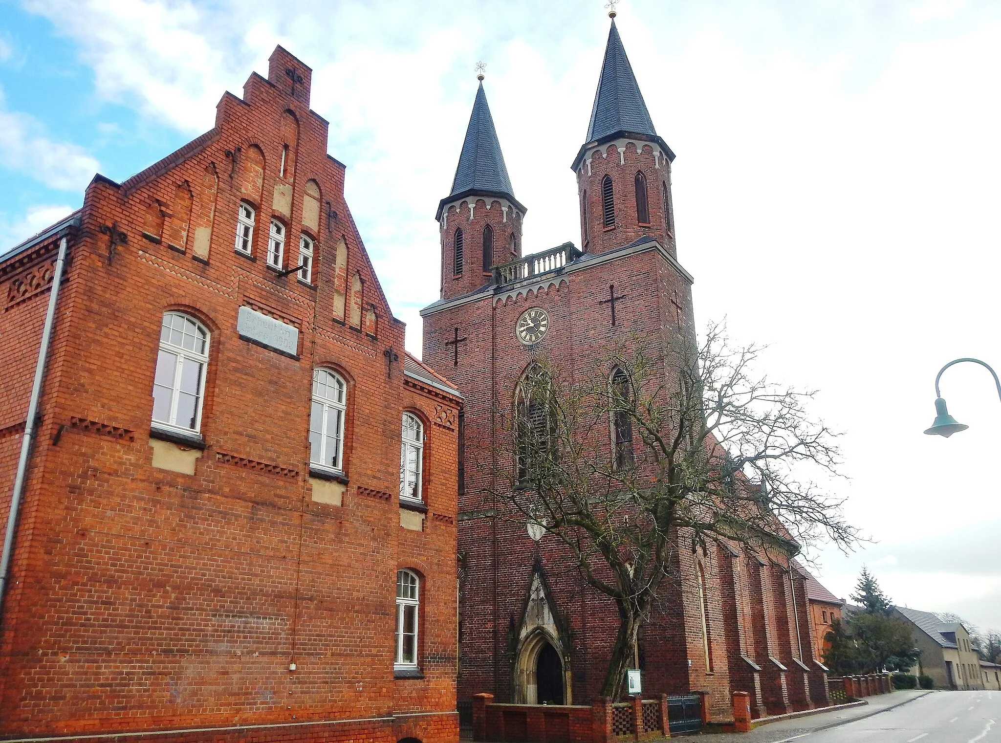
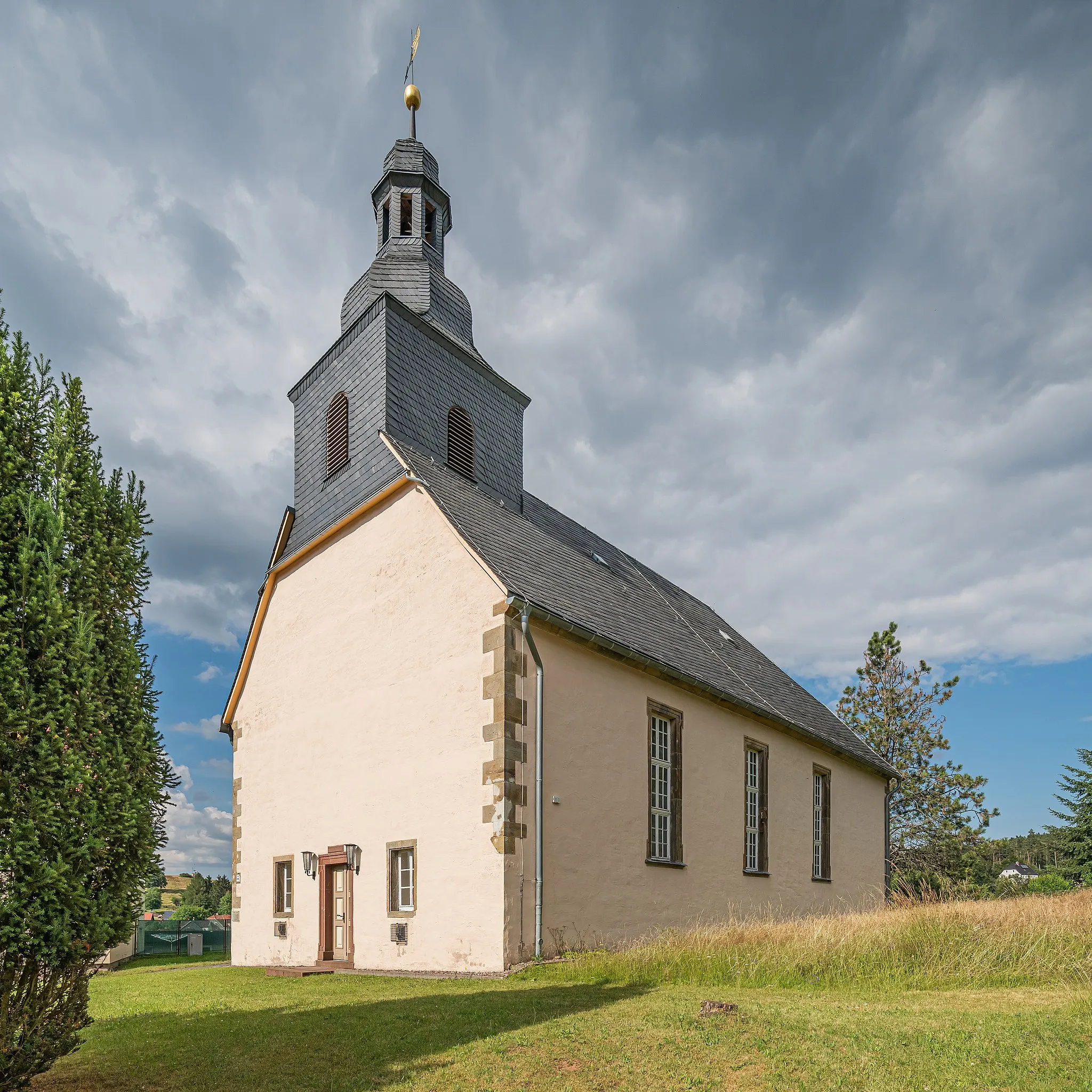
This road cycling route combines scenic countryside with interesting historical landmarks. With a total ascent of 1326m, the route offers challenging climbs and stunning views. Highlights include the Hohe Rod viewpoint, the Röderschlösschen castle, and the charming village of Neudietendorf.
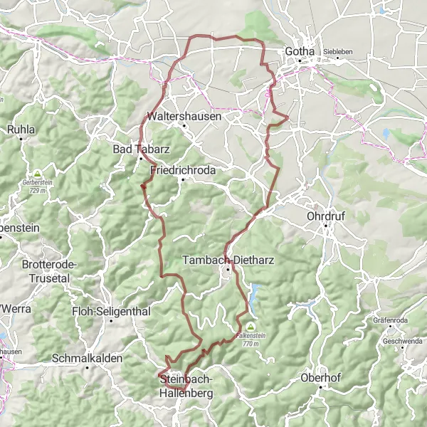
Nature and History Gravel Route
Experience the beauty of nature and explore historical landmarks on this gravel route.
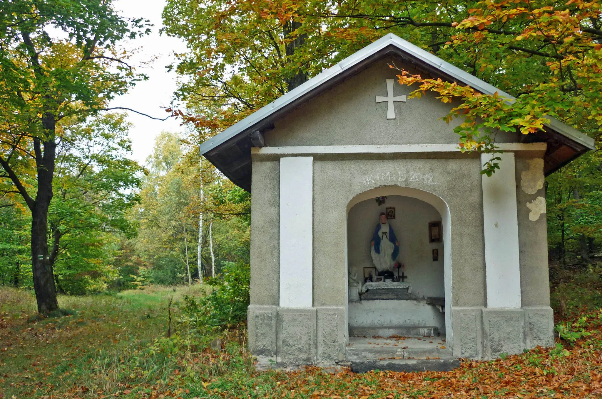
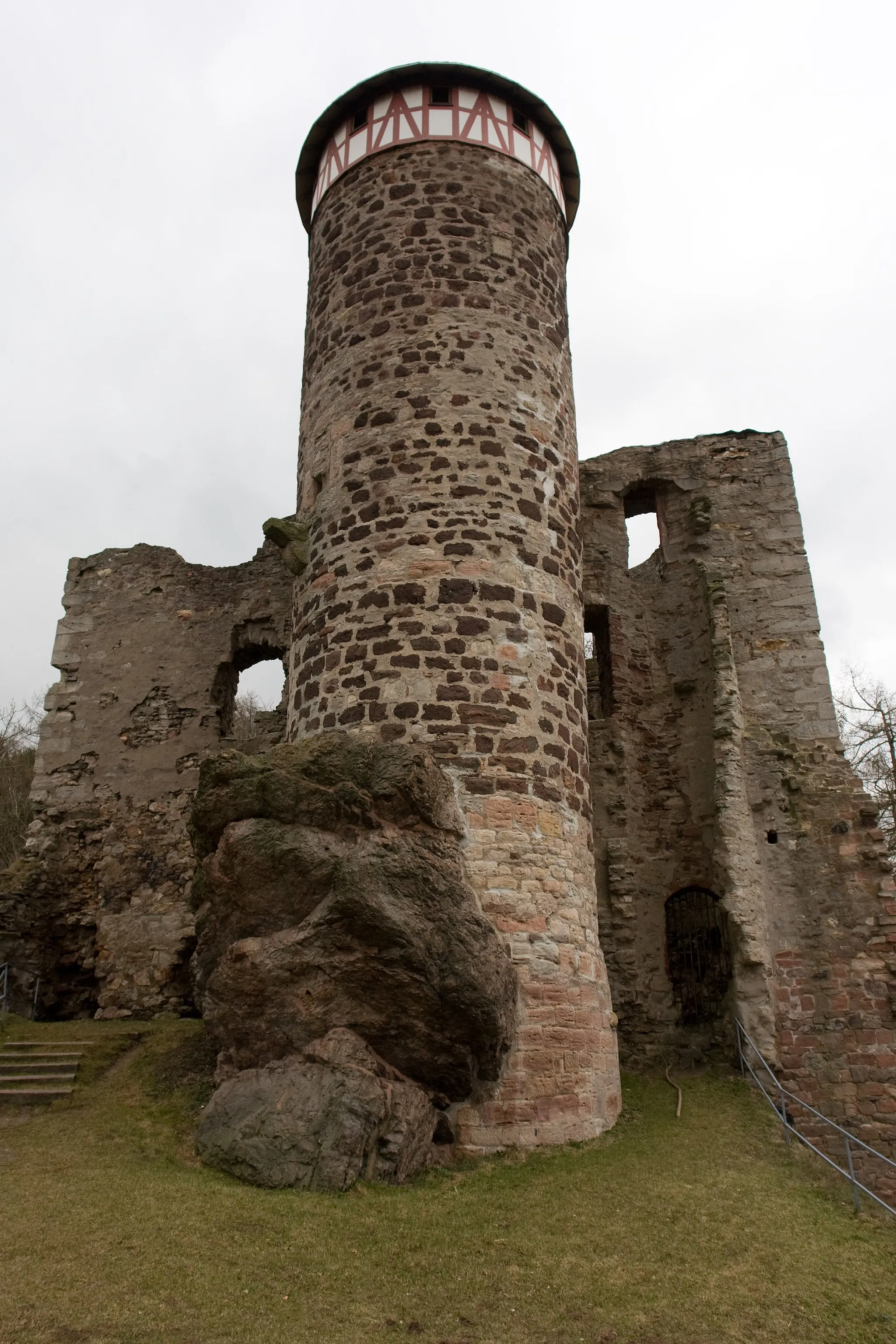
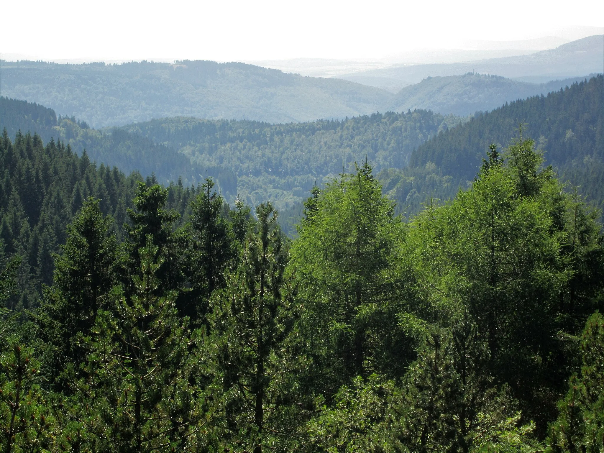
This gravel cycling route combines nature and history, offering a unique experience. With a total ascent of 1062m, the route takes you through stunning landscapes and past historical landmarks. Highlights include the Bärenkopf, a hill with panoramic views, and the Hallenburg castle ruins, a fascinating historical site.
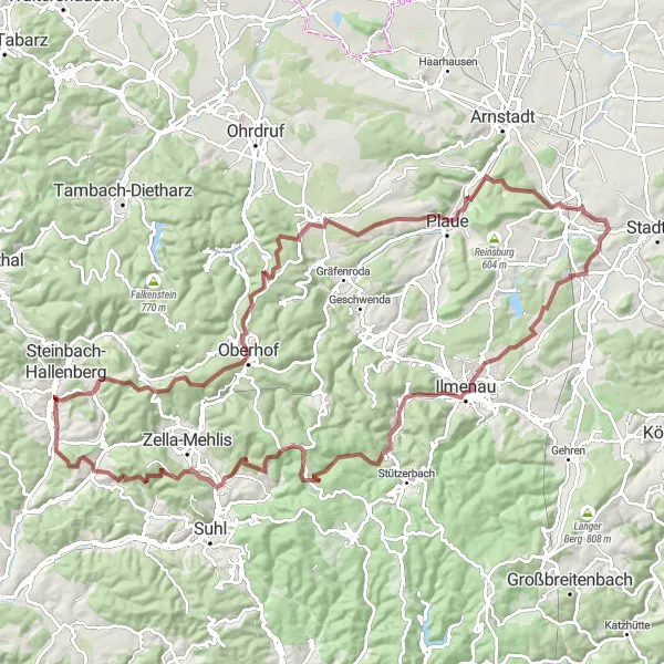
Discover the beauty of the Schmalkalder Land region on this scenic gravel route.
This gravel cycling route takes you through the picturesque Schmalkalder Land region. With a total ascent of 1572m, the route offers challenging climbs and breathtaking views. The Neue Schmalkalder Hütte and the Hirzberg tower provide stunning viewpoints along the way. The highlight of the route is Steinbach-Hallenberg, a charming town with a rich history.
Unterschönau Loop
Ride through picturesque landscapes and visit the charming village of Unterschönau.
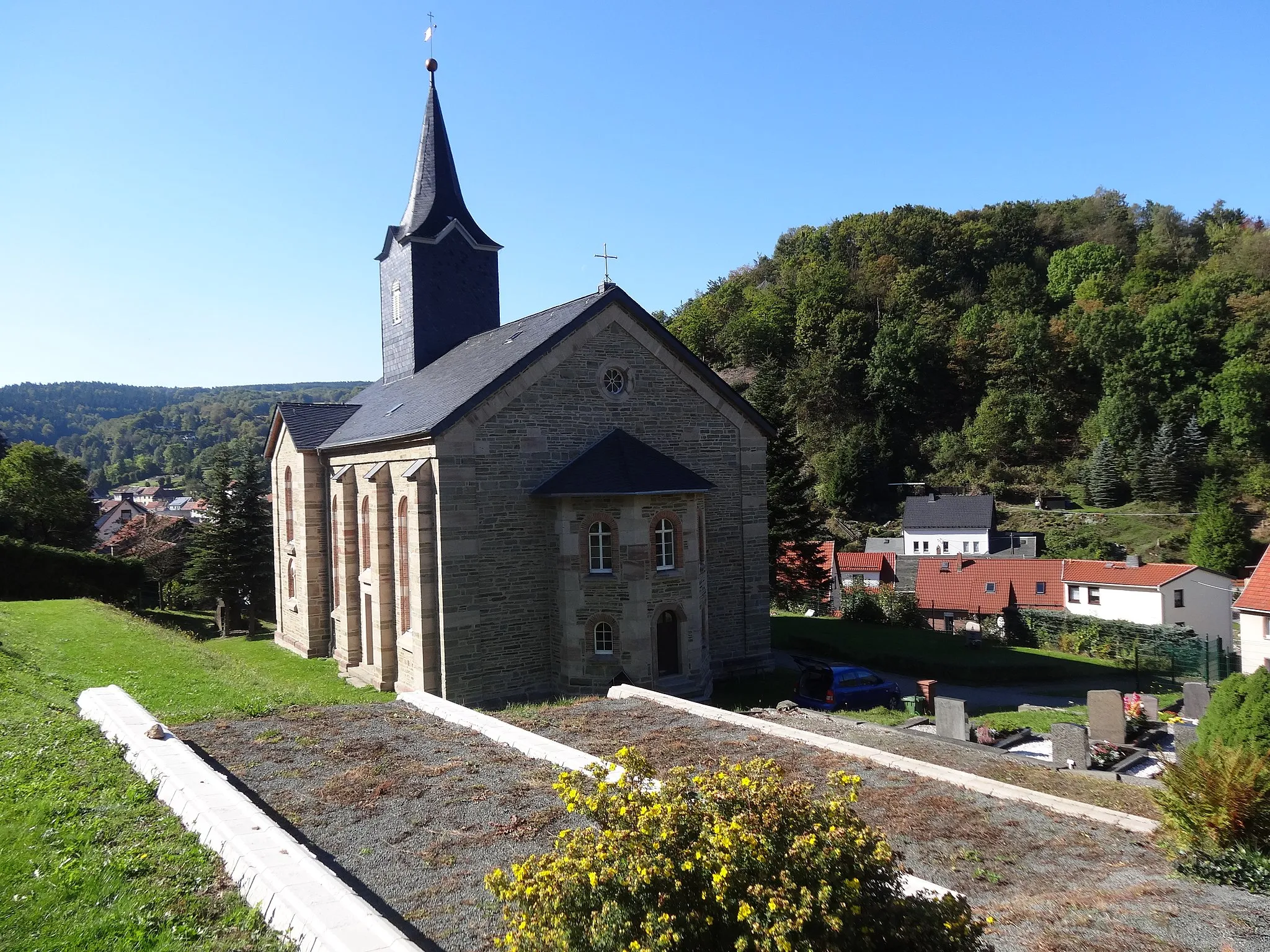
This road cycling route takes you through beautiful countryside and charming villages. Starting in Steinbach-Hallenberg, the route includes a challenging climb with a total ascent of 1488m. The highlight of the route is a visit to the village of Unterschönau, which offers stunning views and a unique atmosphere.
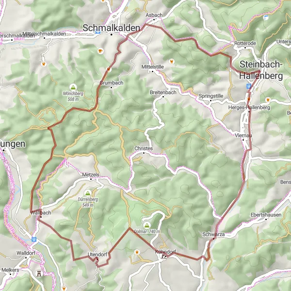
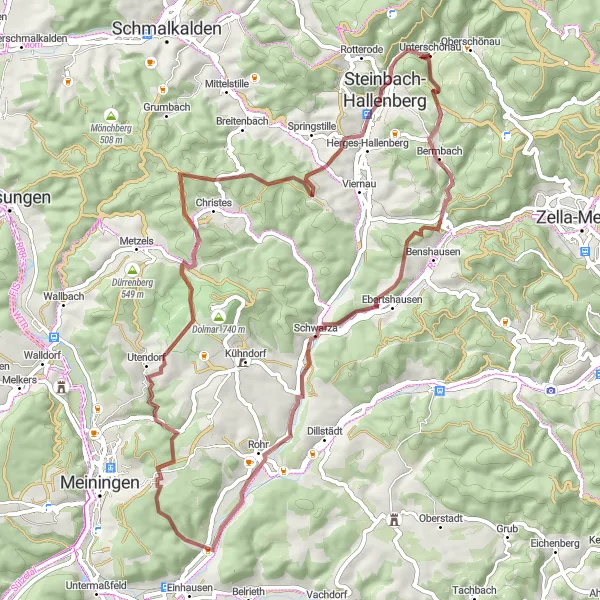
Experience the challenging Steinbacher Berg and the picturesque village of Utendorf on this gravel route.
This gravel route near Steinbach-Hallenberg takes you through the scenic landscapes of Thüringen. The route includes a challenging climb up Steinbacher Berg and highlights the idyllic village of Utendorf. With a distance of 50 kilometers and an ascent of 1016 meters, this route is suitable for well-trained amateurs. The route's epicness is rated at 3, making it a satisfying adventure for gravel enthusiasts.
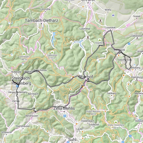
Escape to nature on this road route, exploring the picturesque landscapes of Gräfenroda and Bärenstein.
This road route starting near Steinbach-Hallenberg takes you through enchanting landscapes and charming villages. With a distance of 78 kilometers and an ascent of 1339 meters, this route is suitable for well-trained amateur cyclists. The route's epicness is rated at 3, providing a pleasurable cycling experience in a scenic setting.
Gravel Adventure
Embark on an adventurous gravel ride with breathtaking views.
This gravel cycling route offers a thrilling adventure with stunning views. Starting near Steinbach-Hallenberg, the route features a challenging ascent of 2071m. The highlight of the route is the Schutzhütte "Stein 16", a cozy shelter nestled in the mountains. Wadeberg and Die Heide also offer picturesque landscapes and scenic viewpoints.
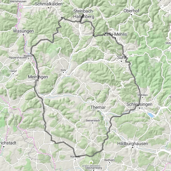
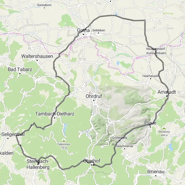
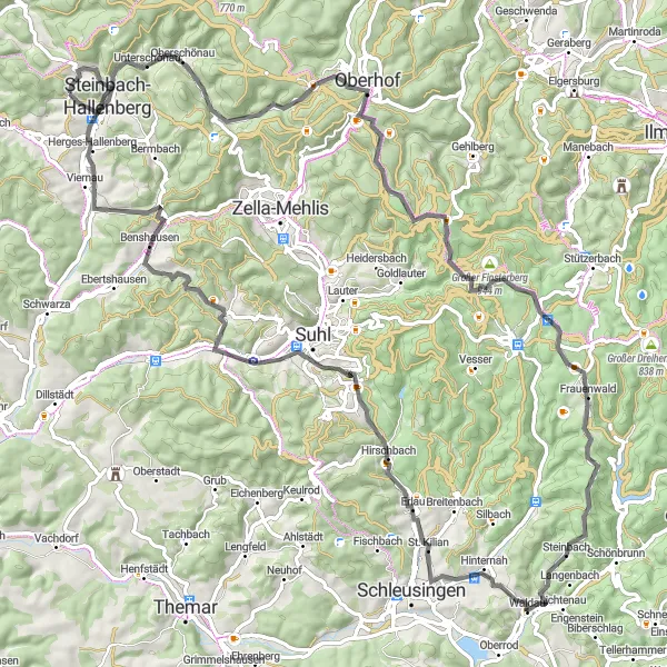
Embark on an epic road cycling adventure through the Thuringian Forest, featuring spectacular viewpoints and historic landmarks.
This road route starting near Steinbach-Hallenberg takes you on a thrilling adventure through the scenic Thuringian Forest. With a distance of 116 kilometers and an ascent of 1366 meters, this route is recommended for experienced road cyclists. The route's epicness is rated at 4, making it an exciting journey for cycling enthusiasts who crave breathtaking views and challenging climbs.
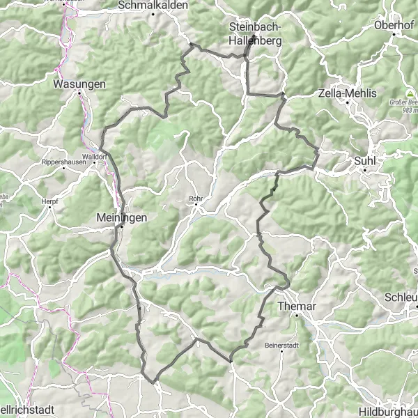
Embark on a scenic road tour featuring extraordinary landscapes, charming villages, and historic landmarks.
This road route starting near Steinbach-Hallenberg takes you on a captivating journey through the Thuringian Forest. With a distance of 99 kilometers and an ascent of 1383 meters, this route is recommended for experienced road cyclists. The route's epicness is rated at 4, providing an exceptional combination of natural beauty and cultural heritage.
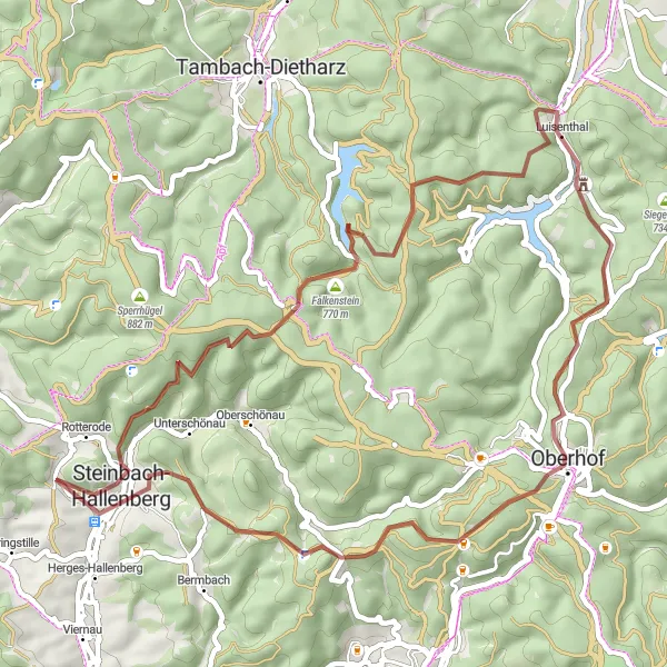
Discover the medieval fortress of Falkenstein and ride through the captivating Knüllfeld region on this gravel route.
This gravel route starting near Steinbach-Hallenberg allows you to explore the medieval fortress of Falkenstein and enjoy the scenic beauty of Knüllfeld. With a distance of 49 kilometers and an ascent of 1193 meters, this route is perfect for experienced gravel cyclists. The route's epicness is rated at 3, providing an exciting adventure for gravel enthusiasts.
Cycling routes nearby:
Nearby regions: