Thuringian Forest Road Adventure
A road cycling route starting from Steinbach-Hallenberg
Embark on an epic road cycling adventure through the Thuringian Forest, featuring spectacular viewpoints and historic landmarks.
Map
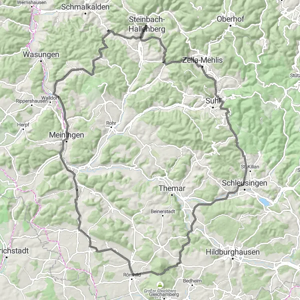
This road route starting near Steinbach-Hallenberg takes you on a thrilling adventure through the scenic Thuringian Forest. With a distance of 116 kilometers and an ascent of 1366 meters, this route is recommended for experienced road cyclists. The route's epicness is rated at 4, making it an exciting journey for cycling enthusiasts who crave breathtaking views and challenging climbs.
road
116 km
1366 m
Savage
Route profile
Highlights on the route
0 km
0 km
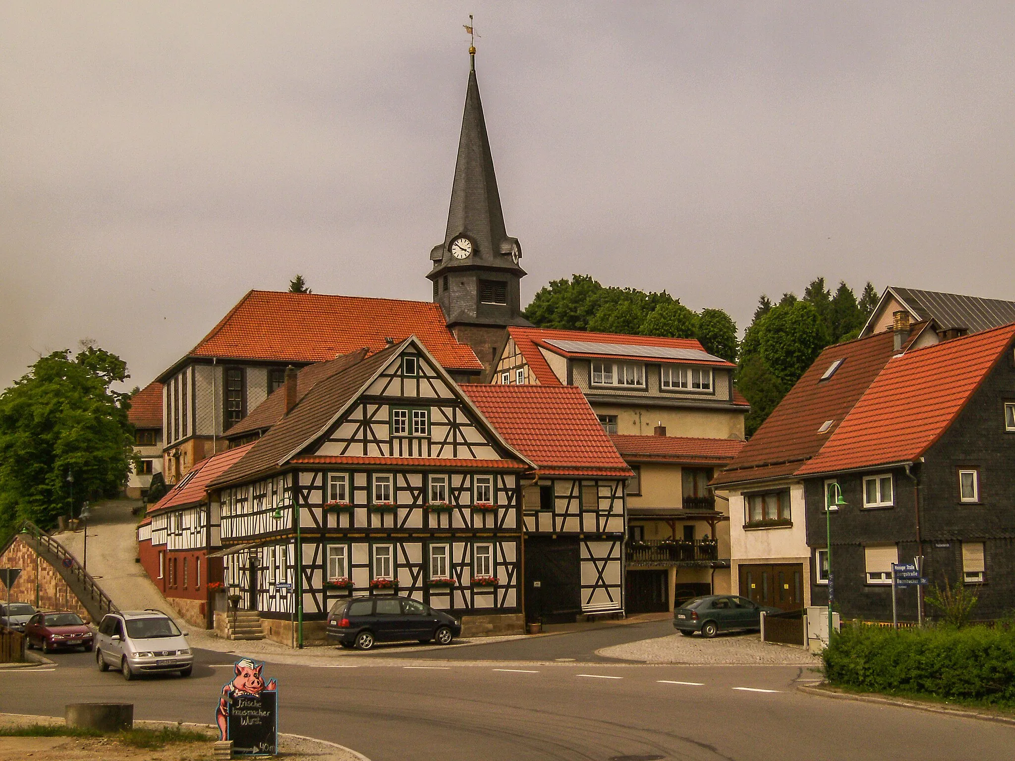
Start: Steinbach-Hallenberg City centerSteinbach-Hallenberg: Cycle Amidst Breathtaking Landscapes and Conquer Rennsteig
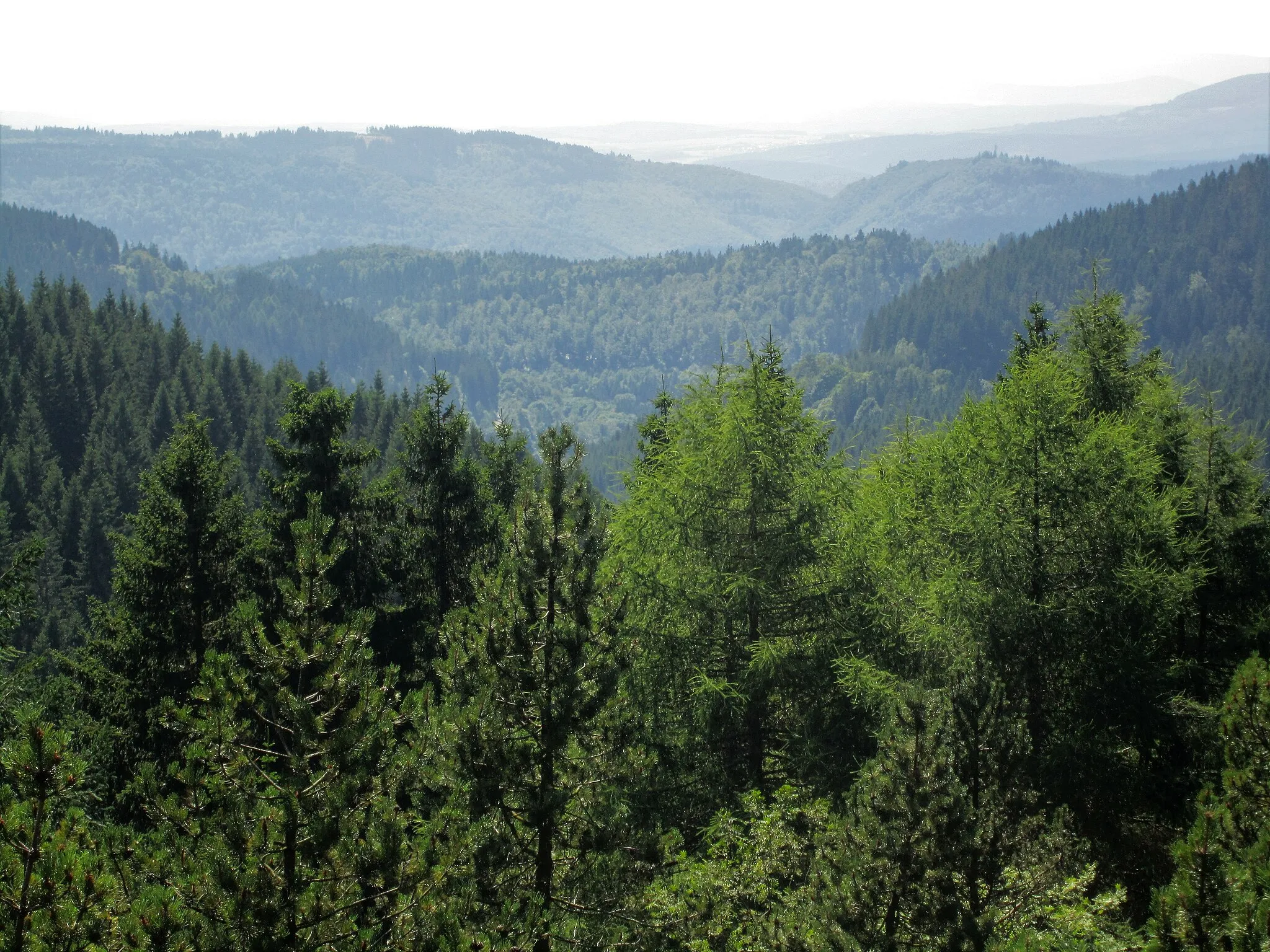
Steinbach-Hallenberg, located in Thüringen, Germany, is a delightful town that caters to road and gravel cycling enthusiasts. The region boasts diverse terrain, ranging from hilly landscapes to challenging mountain climbs, making it suitable for cyclists of all abilities. One of the well-known cycling spots near Steinbach-Hallenberg is the Rennsteig route, attracting both professional and recreational cyclists. Cyclists can explore the breathtaking landscapes and enjoy the tranquility of the surrounding nature. The town provides convenient access to bike rental facilities, repair shops, and cyclist-friendly accommodations. With its scenic beauty and diverse cycling options, Steinbach-Hallenberg is an excellent destination for cycling enthusiasts.0 km
0 km
Steinbach-HallenbergTownStart your road cycling adventure in the picturesque town of Steinbach-Hallenberg, surrounded by idyllic landscapes.
6 km
6 km
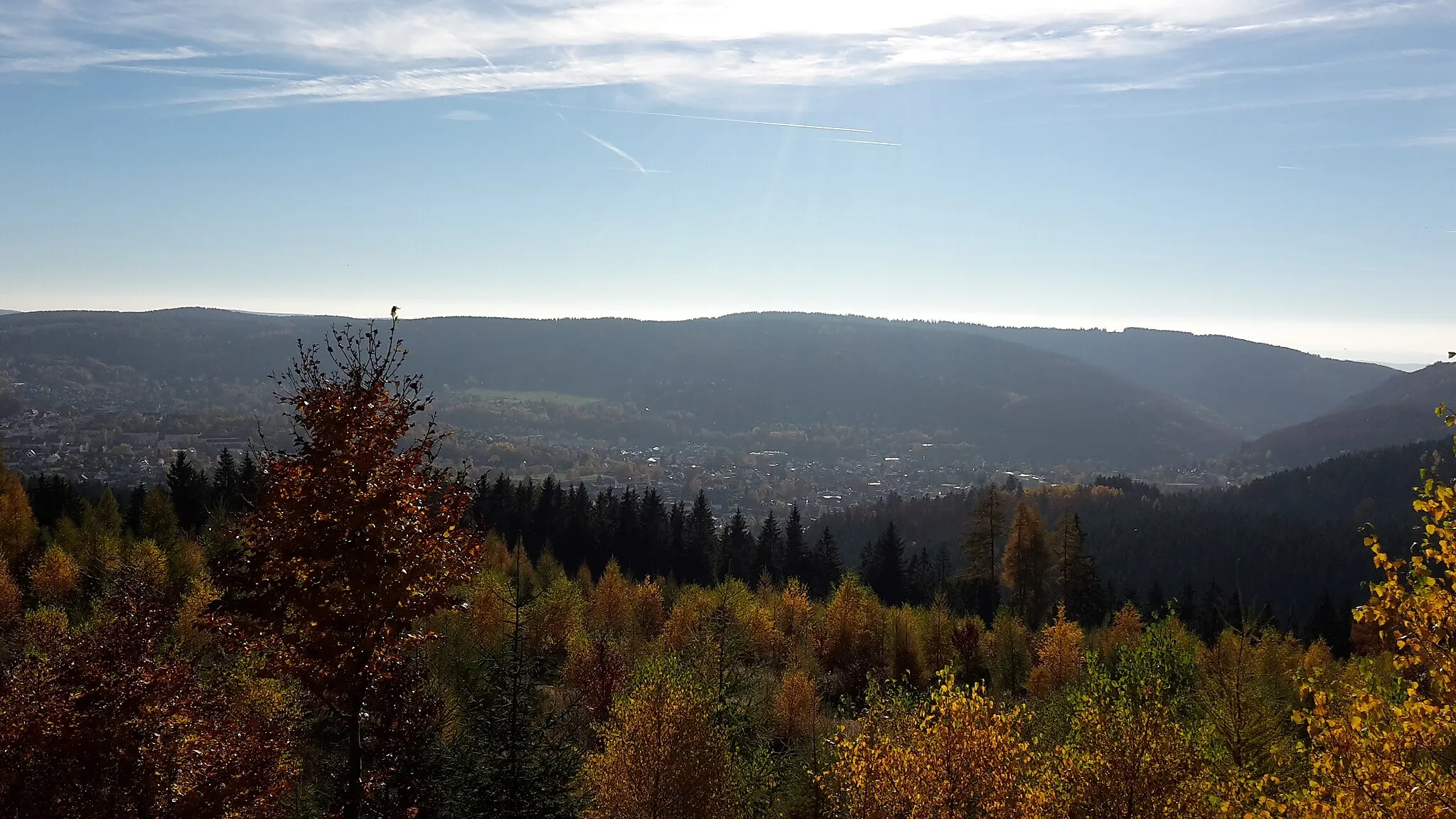
Sattelberg596 mPeakClimb the Sattelberg and enjoy stunning panoramic views of the Thuringian Forest.
20 km
20 km
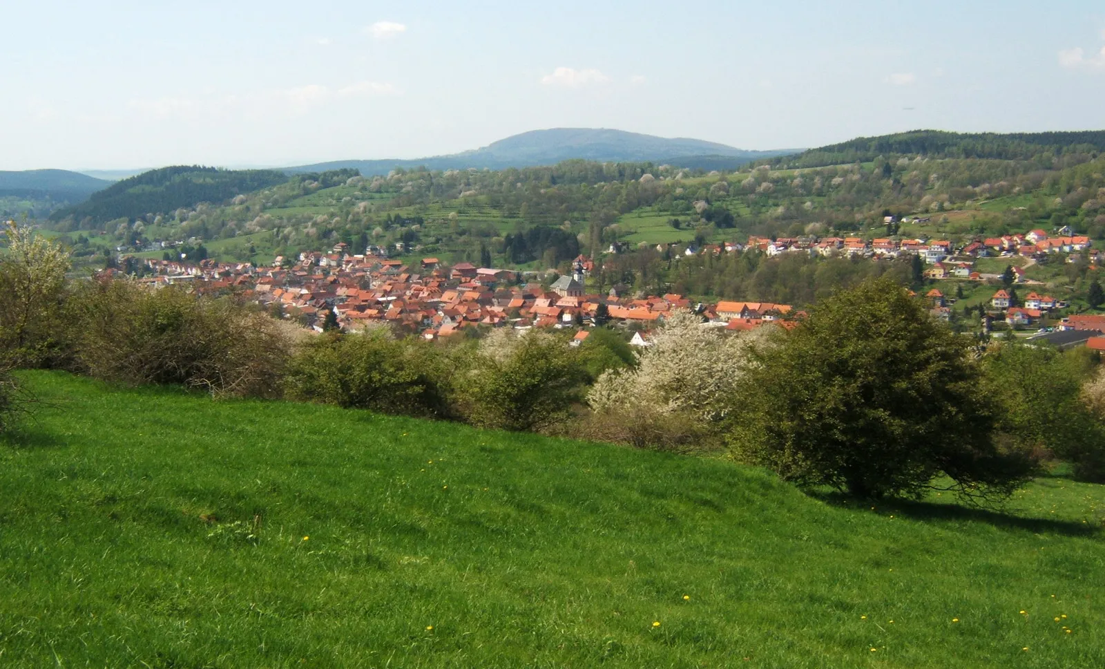
Schelrod497 mPeakSchelrod boasts beautiful meadows and serene woodlands, perfect for relaxation and refreshment.
28 km
28 km
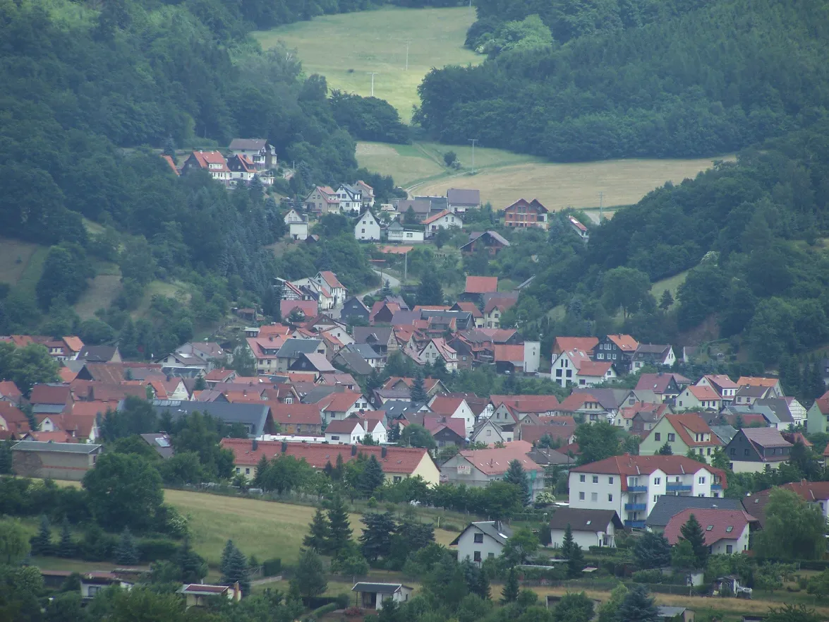
HirschbachVillageHirschbach is known for its charming architecture and scenic landscapes.
43 km
43 km
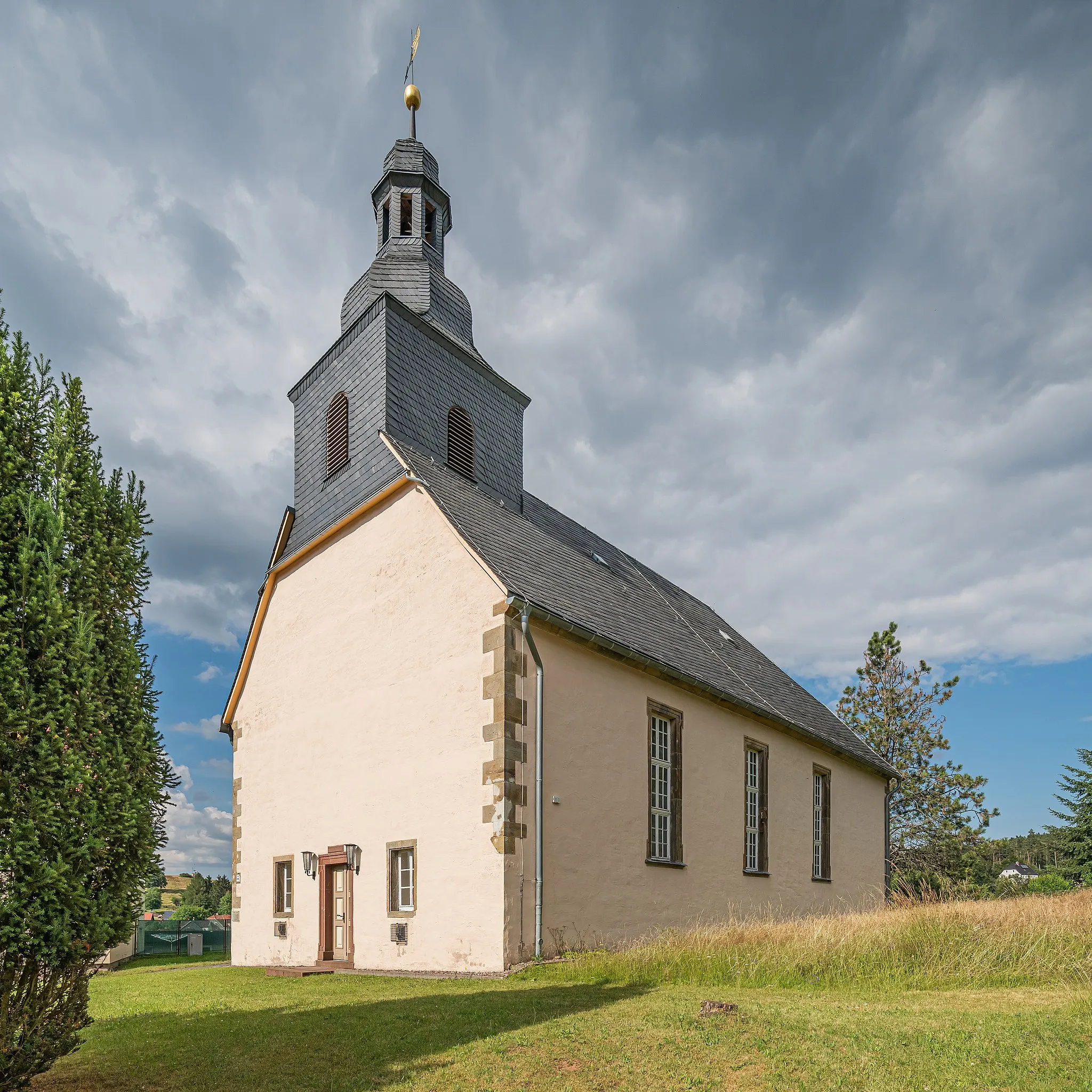
Kapellenberg492 mPeakKapellenberg is home to a breathtaking chapel surrounded by natural beauty.
47 km
47 km
ReuriethVillageReurieth features a peaceful countryside setting and picturesque medieval buildings.
58 km
58 km
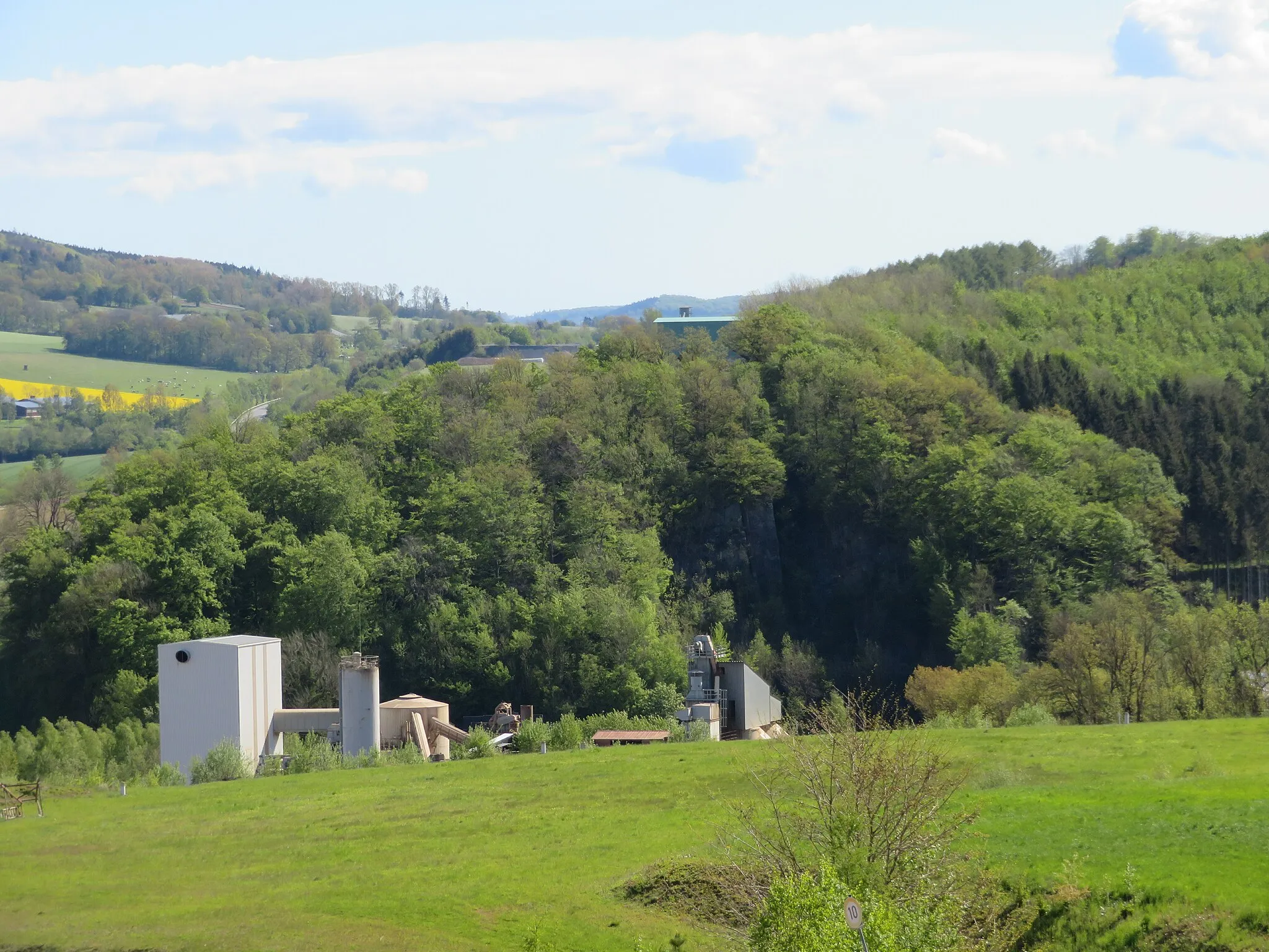
Schäferberg336 mPeakEnjoy the scenic trails and views from Schäferberg, a popular destination for outdoor enthusiasts.
65 km
65 km
WestenfeldVillageWestenfeld offers a charming blend of traditional countryside landscapes and architectural beauty.
85 km
85 km
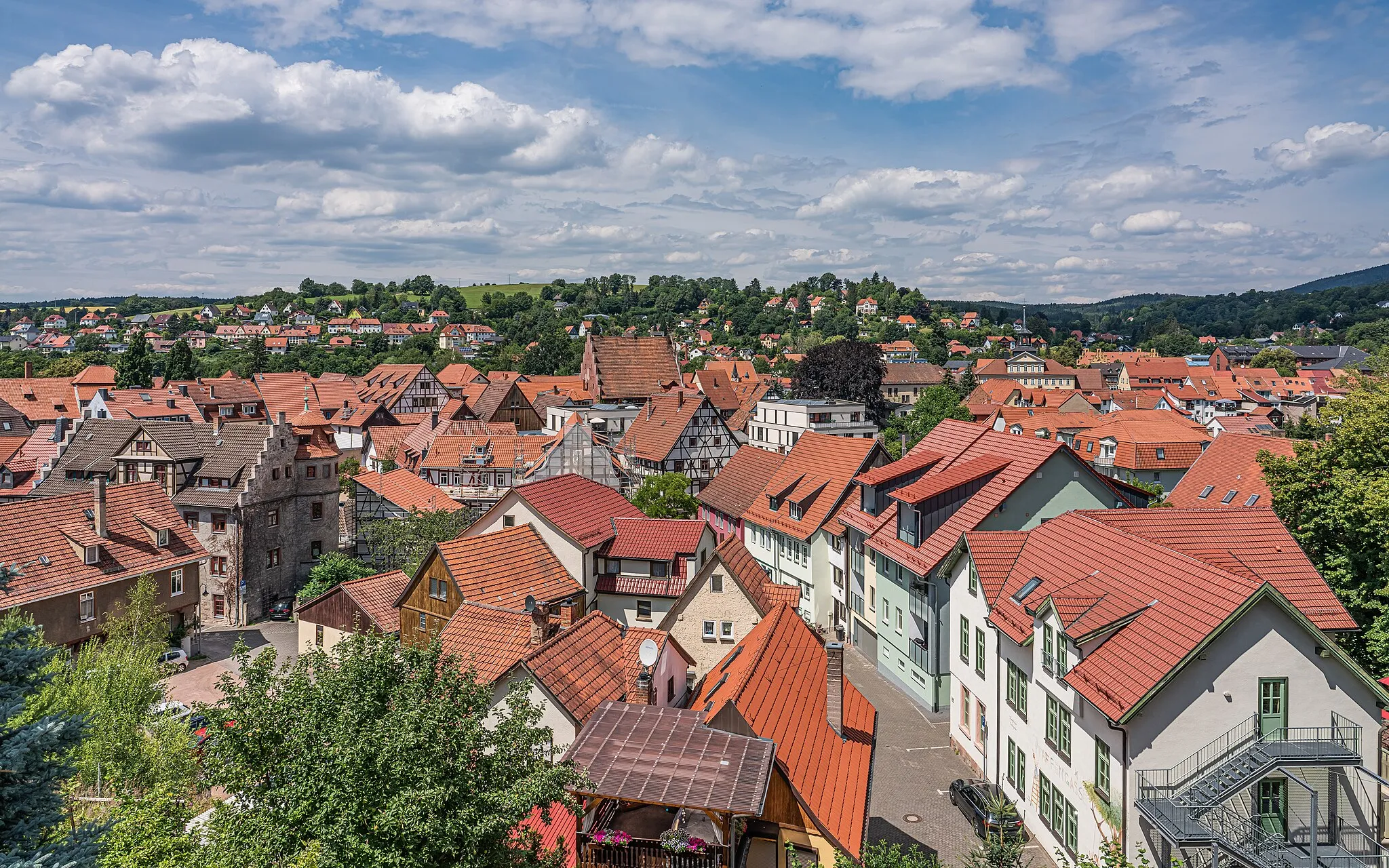
AltstadtblickViewpointAltstadtblick provides a stunning view of the town's historic center, lined with beautiful medieval houses.
86 km
86 km
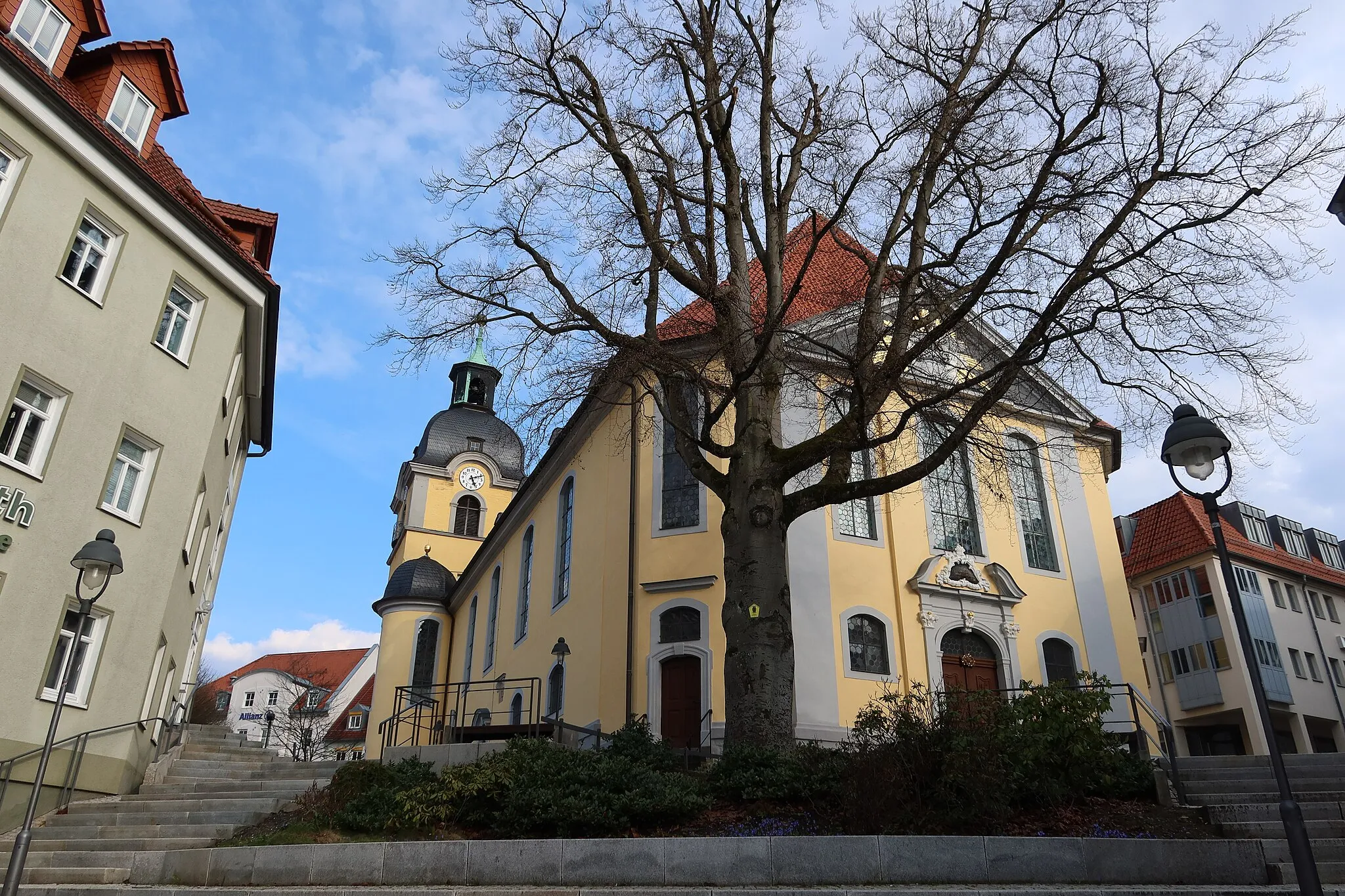
Sächsischer HofAttractionSächsischer Hof is a historic landmark that showcases the rich cultural heritage of the region.
108 km
108 km
BreitenbachVillageBreitenbach features charming rural landscapes and is famous for its traditional wooden bridge.
111 km
111 km
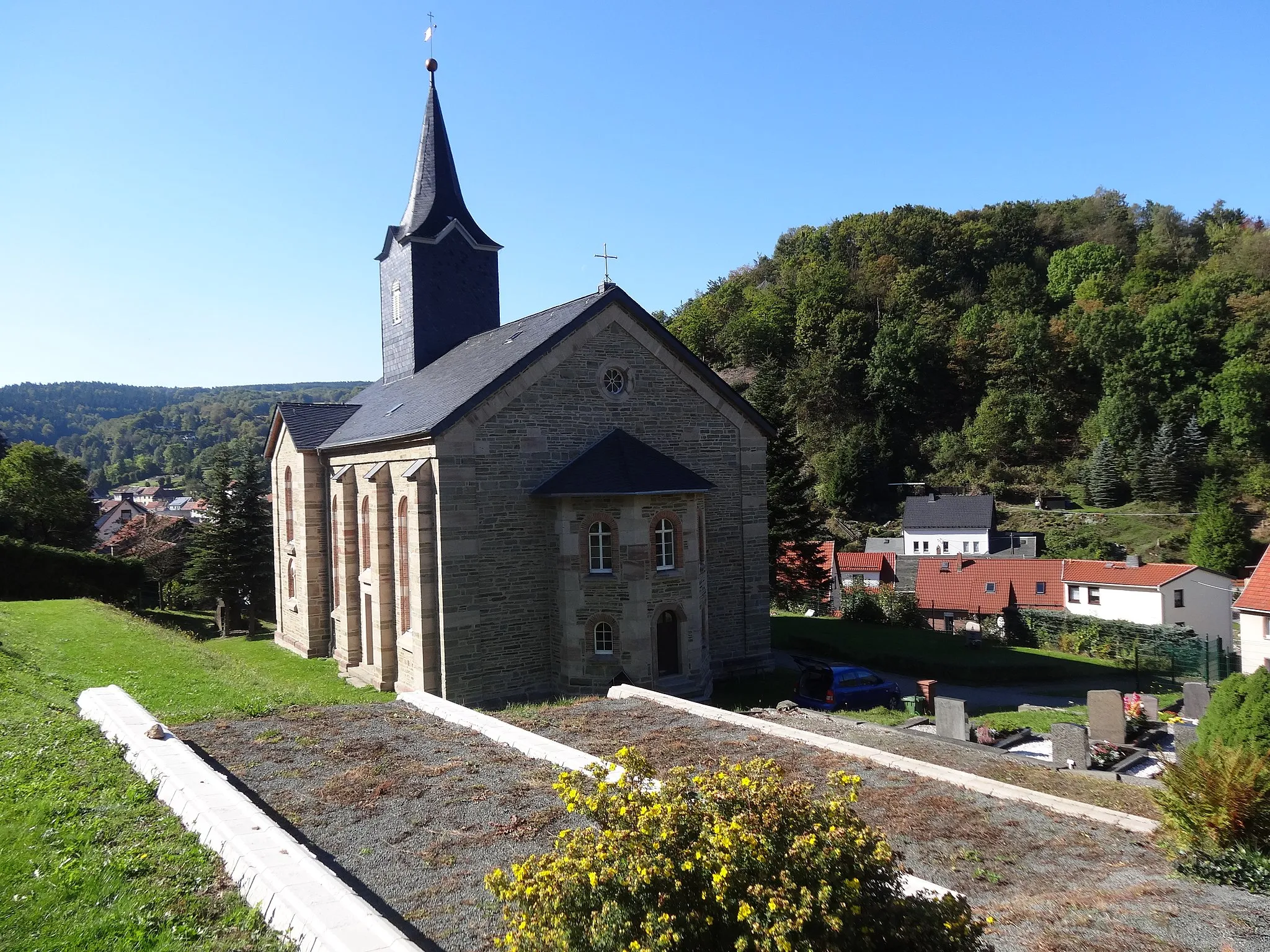
Mühlberg413 mPeakMühlberg is a picturesque village known for its historic mill and scenic surroundings.
116 km
116 km
Finish: Steinbach-Hallenberg City centerSteinbach-Hallenberg: Cycle Amidst Breathtaking Landscapes and Conquer Rennsteig
Cycling routes from Steinbach-Hallenberg:
Steinbacher Berg and Utendorf Gravel Route Gräfenroda and Bärenstein Road Escape Rodlauf Loop Unterschönau Loop Falkenstein and Knüllfeld Gravel Experience Schmalkalder Land Gravel Ride Thuringian Forest Road Adventure Herges-Hallenberg and Rangenberg Road Tour Gravel Adventure Nature and History Gravel Route
Cycling routes nearby: