Rodlauf Loop
A road cycling route starting from Steinbach-Hallenberg
Explore scenic countryside and visit historical landmarks on this road cycling route.
Map
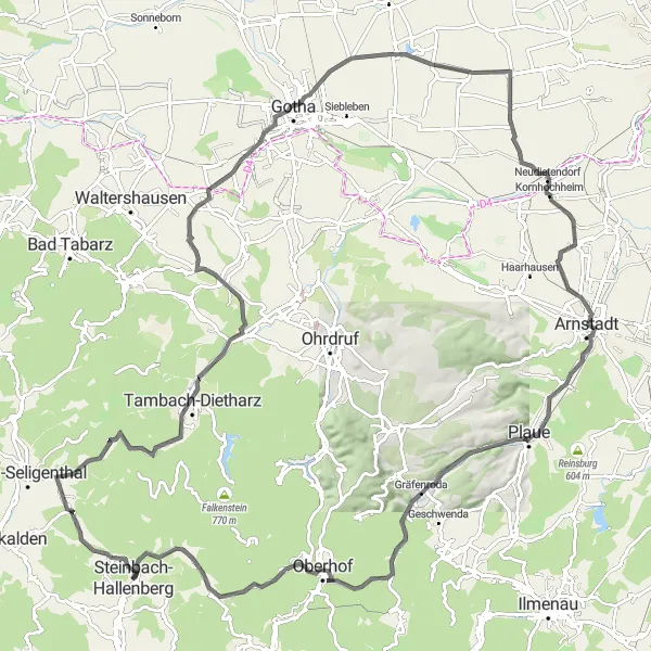
This road cycling route combines scenic countryside with interesting historical landmarks. With a total ascent of 1326m, the route offers challenging climbs and stunning views. Highlights include the Hohe Rod viewpoint, the Röderschlösschen castle, and the charming village of Neudietendorf.
road
121 km
1326 m
Tough
Route profile
Highlights on the route
0 km
0 km
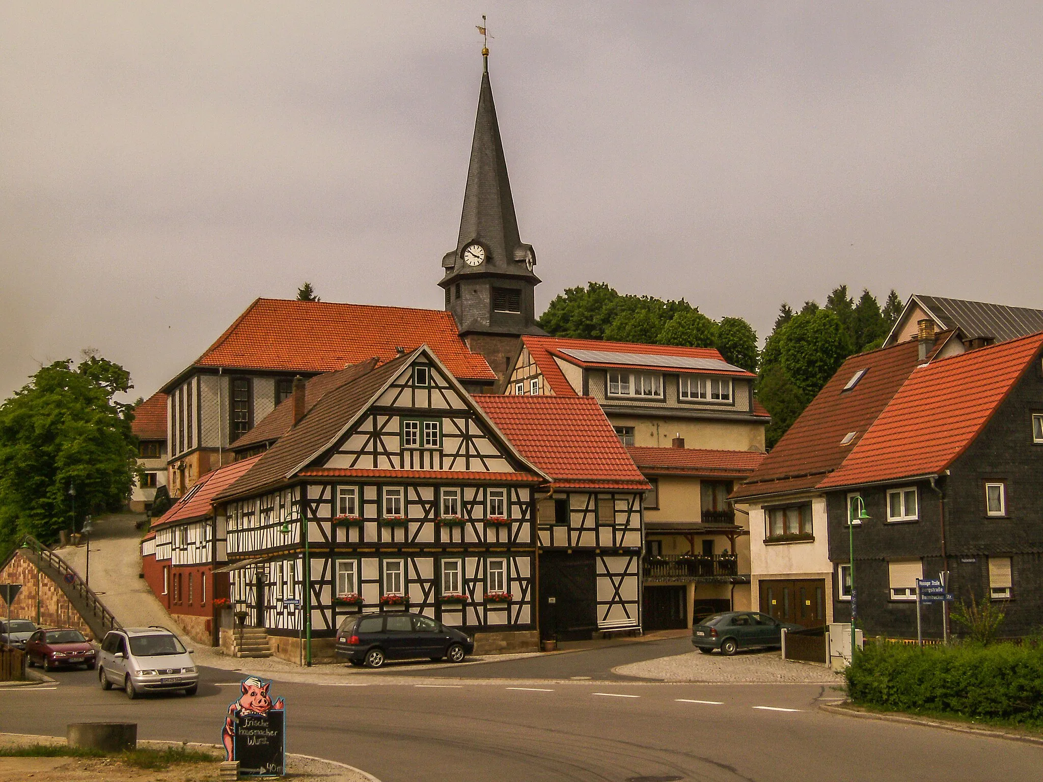
Start: Steinbach-Hallenberg City centerSteinbach-Hallenberg: Cycle Amidst Breathtaking Landscapes and Conquer Rennsteig
Steinbach-Hallenberg, located in Thüringen, Germany, is a delightful town that caters to road and gravel cycling enthusiasts. The region boasts diverse terrain, ranging from hilly landscapes to challenging mountain climbs, making it suitable for cyclists of all abilities. One of the well-known cycling spots near Steinbach-Hallenberg is the Rennsteig route, attracting both professional and recreational cyclists. Cyclists can explore the breathtaking landscapes and enjoy the tranquility of the surrounding nature. The town provides convenient access to bike rental facilities, repair shops, and cyclist-friendly accommodations. With its scenic beauty and diverse cycling options, Steinbach-Hallenberg is an excellent destination for cycling enthusiasts.5 km
5 km
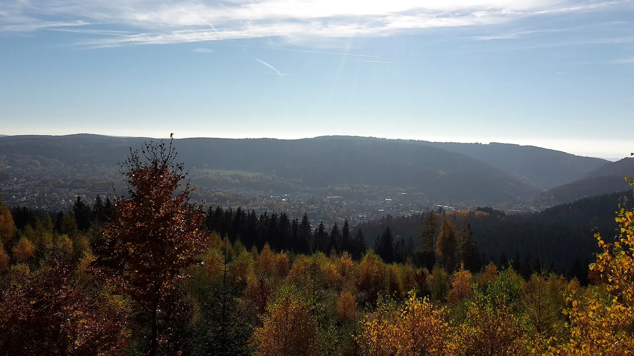
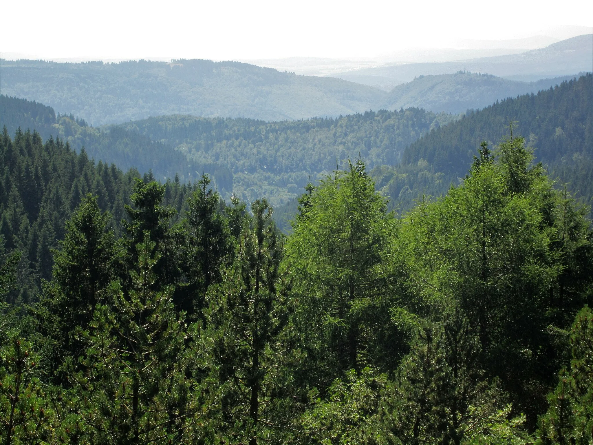
Hohe Rod558 mPeakHohe Rod, a viewpoint with panoramic views
13 km
13 km
NesselhofHamletNesselhof, a historical farm building
21 km
21 km
WasserradWaterfallWasserrad, a traditional water wheel
24 km
24 km
Knie489 mPeakKnie, a village with historic buildings
32 km
32 km
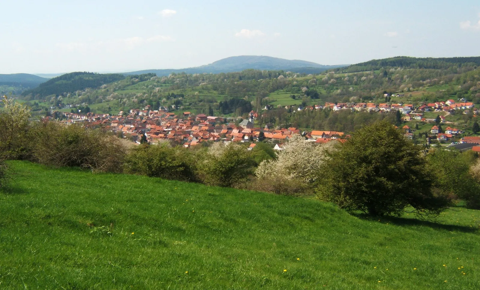
ErnstrodaVillageErnstroda, a picturesque village surrounded by nature
45 km
45 km
RathausturmViewpointRathausturm, a tower offering panoramic views
67 km
67 km
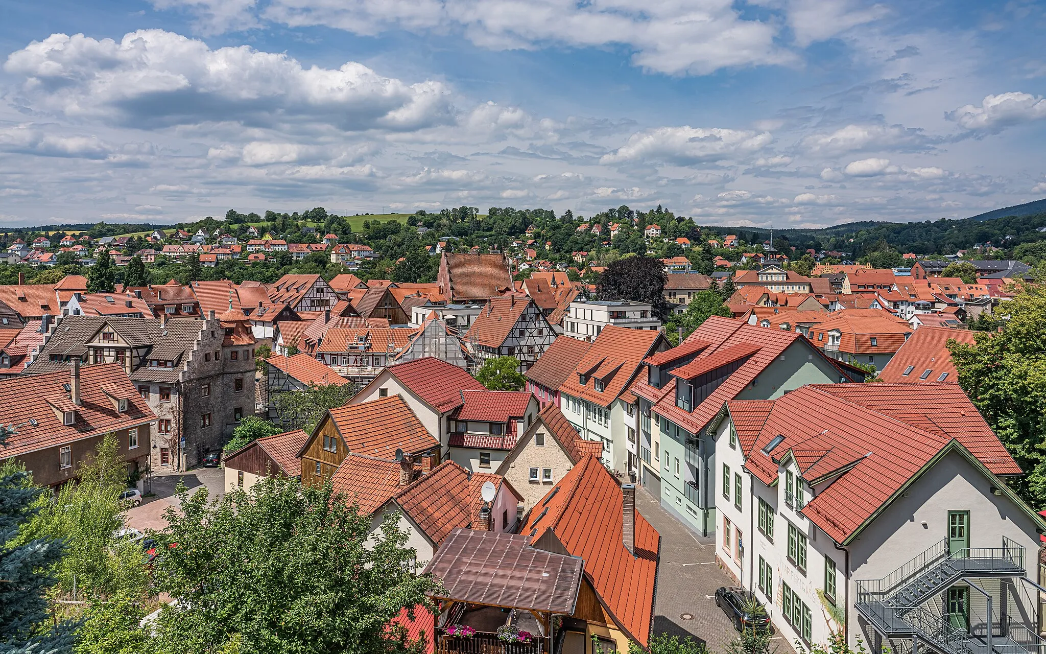
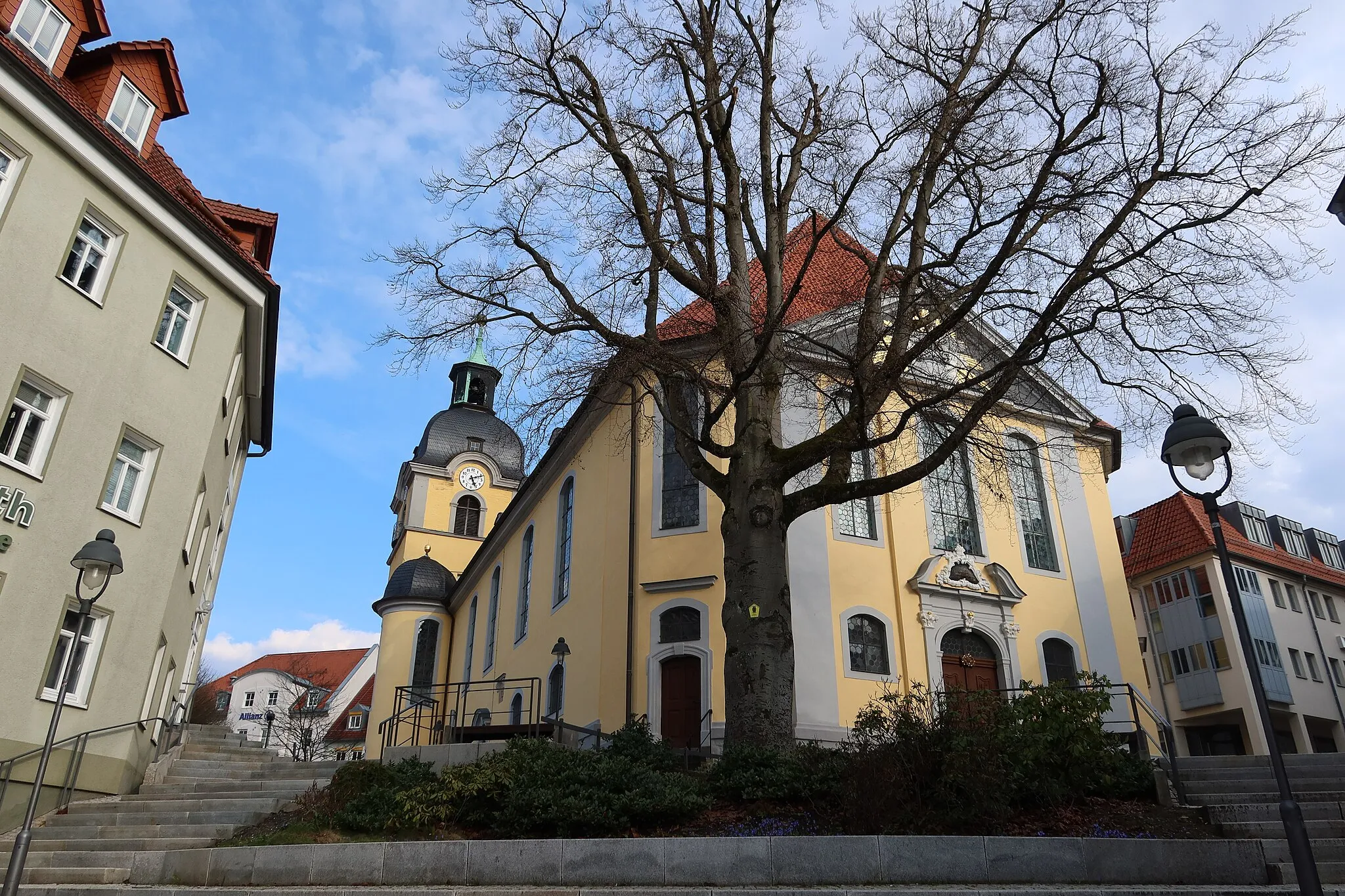
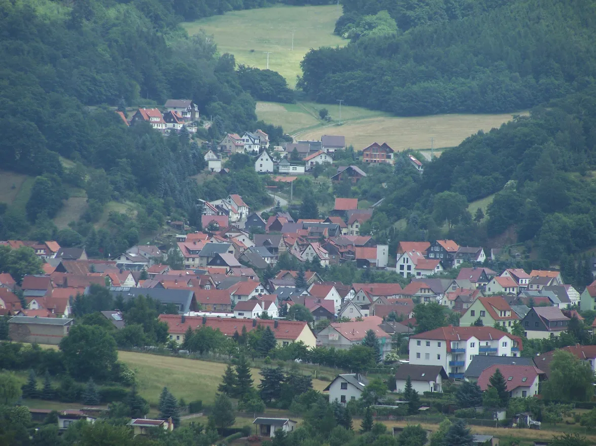
NeudietendorfVillageNeudietendorf, a charming village with historical architecture
81 km
81 km
Alteburg398 mPeakAlteburg, a hill with panoramic views
91 km
91 km
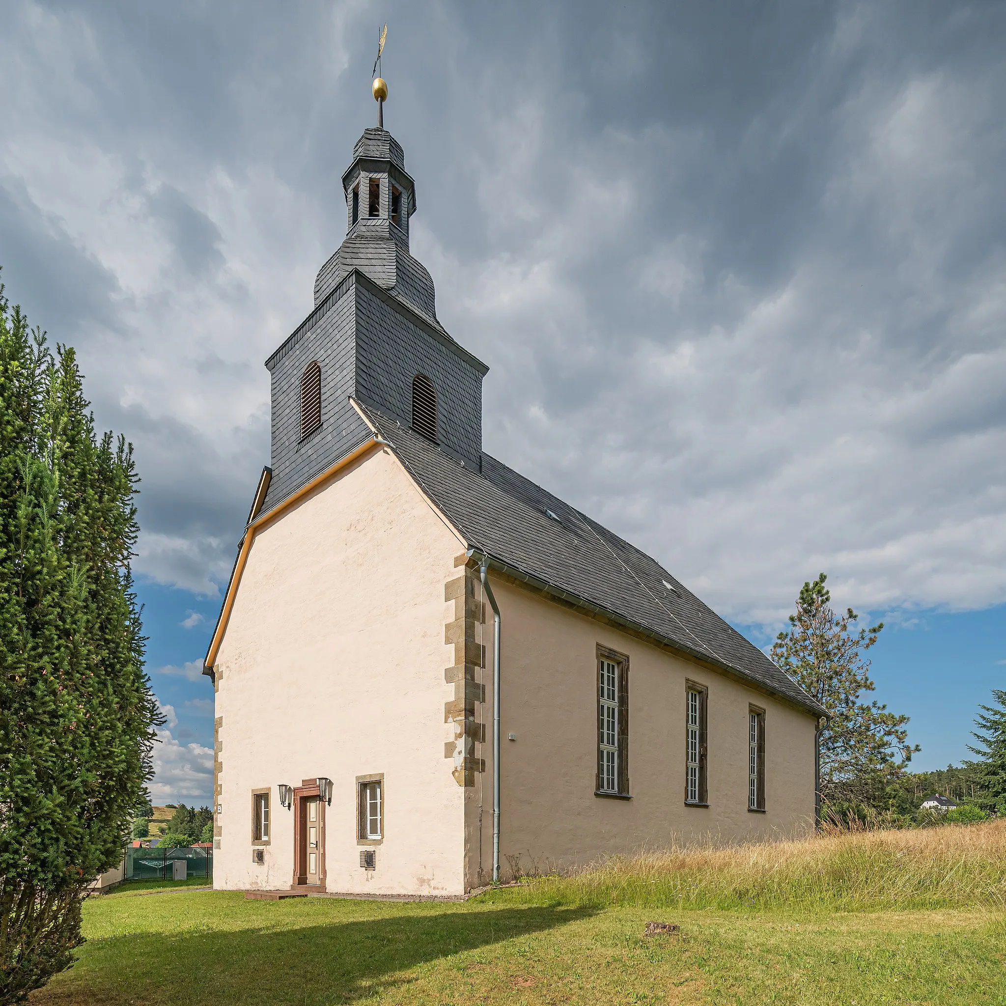
RöderschlösschenCastleRöderschlösschen, a historical castle with a charming atmosphere
106 km
106 km
OberhofTownOberhof, a popular tourist destination for outdoor activities and winter sports
107 km
107 km
E-TankstelleViewpointE-Tankstelle, a charging station for electric bikes
118 km
118 km
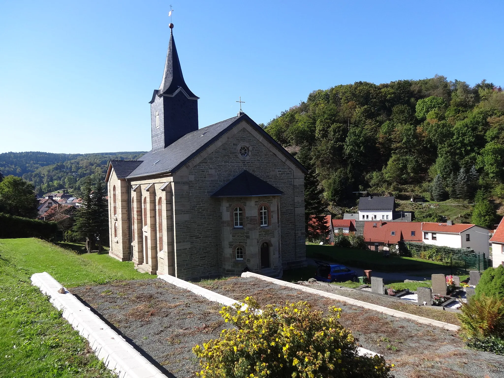
UnterschönauVillageUnterschönau, a picturesque village with stunning views
119 km
119 km
Arnsberg684 mPeak121 km
121 km
Finish: Steinbach-Hallenberg City centerSteinbach-Hallenberg: Cycle Amidst Breathtaking Landscapes and Conquer Rennsteig
Cycling routes from Steinbach-Hallenberg:
Steinbacher Berg and Utendorf Gravel Route Gräfenroda and Bärenstein Road Escape Rodlauf Loop Unterschönau Loop Falkenstein and Knüllfeld Gravel Experience Schmalkalder Land Gravel Ride Thuringian Forest Road Adventure Herges-Hallenberg and Rangenberg Road Tour Gravel Adventure Nature and History Gravel Route
Cycling routes nearby: