Gravel Adventure from Oldisleben
A gravel cycling route starting from Oldisleben
Embark on a gravel adventure through picturesque landscapes from Oldisleben
Map
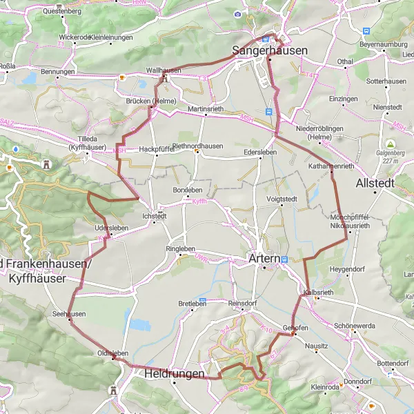
This gravel cycling route takes you on an adventure through stunning landscapes and charming villages. Starting in Oldisleben, you'll pass through Brücken (Helme), Katharinenrieth, Ritteburg, Schulzenberg, and Stubenberg, covering a distance of 72 km with an ascent of 623 m. The route is suitable for experienced gravel cyclists with a moderate difficulty level. Highlights along the way include Brücken, a charming village with a beautiful bridge over the river Helme, and Ritteburg, a medieval castle ruin offering breathtaking views. With its off-road sections and scenic beauty, this route promises an exciting gravel adventure.
gravel
72 km
623 m
Tough
Route profile
Highlights on the route
0 km
0 km
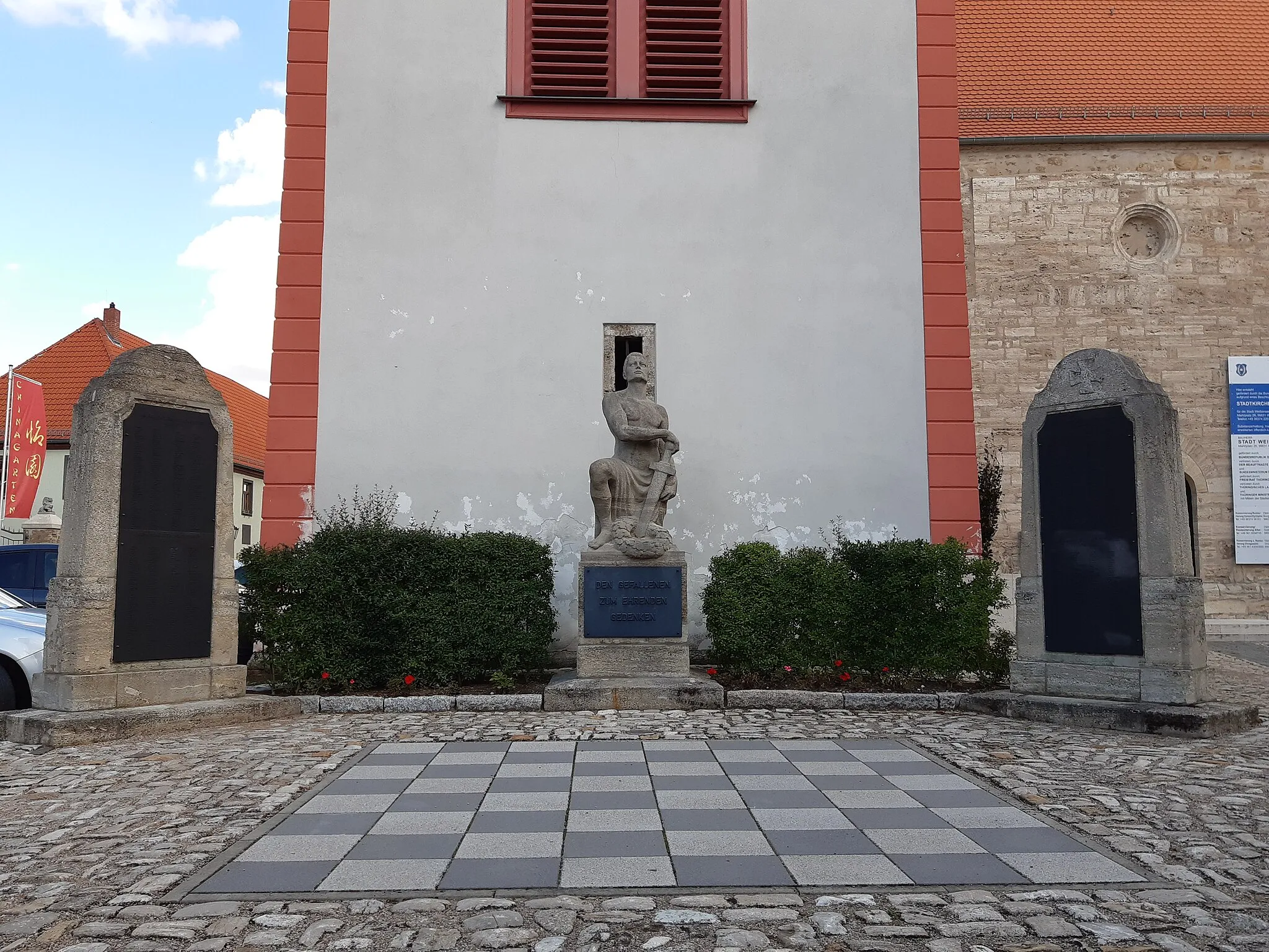
Start: Oldisleben Village centerOldisleben: Tranquil rides through Thuringian countryside
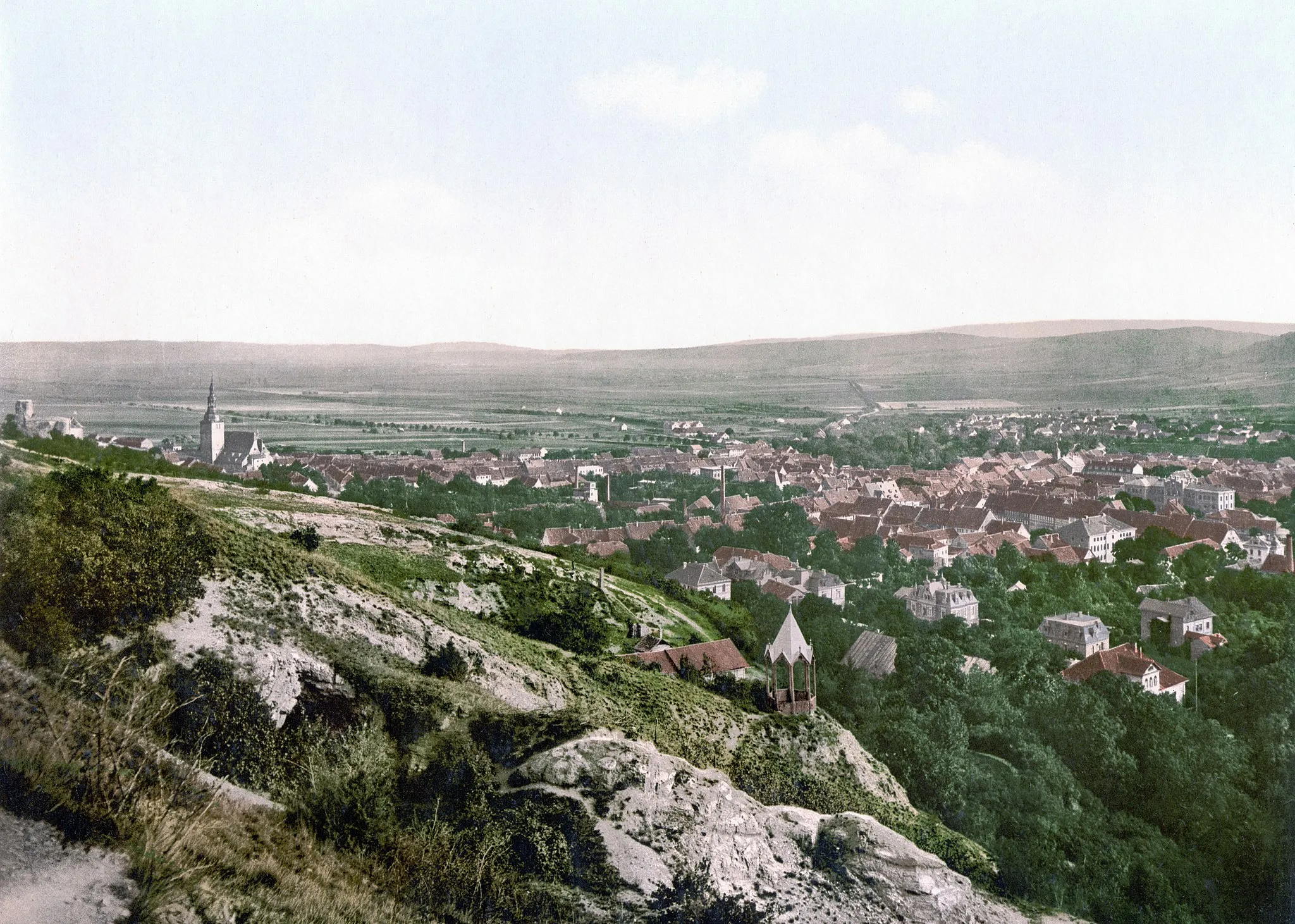
Oldisleben is a locality located in Thüringen, Germany. From a cyclist's perspective, Oldisleben offers a mix of flat and hilly terrains, providing varied cycling opportunities. The roads in the region are generally well-maintained, allowing for enjoyable rides. Oldisleben is not particularly known for any famous cycling-related spots or legendary climbs, but it offers a peaceful and picturesque setting for cycling and exploring the Thuringian countryside.0 km
0 km
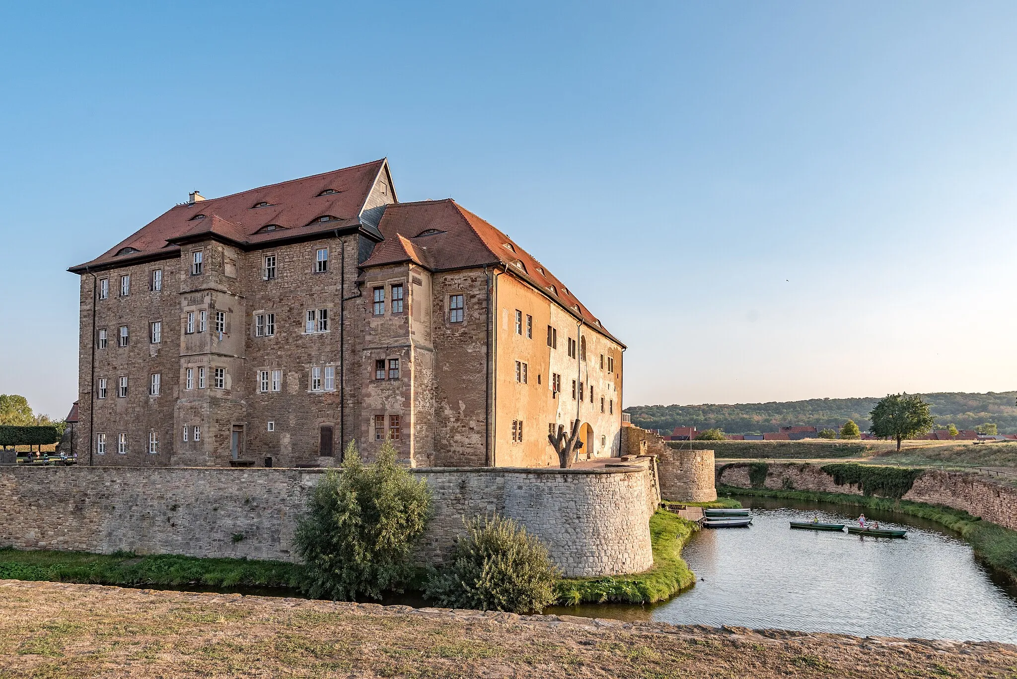
OldislebenVillageOldisleben is known for its medieval castle ruins and charming town center.
23 km
23 km
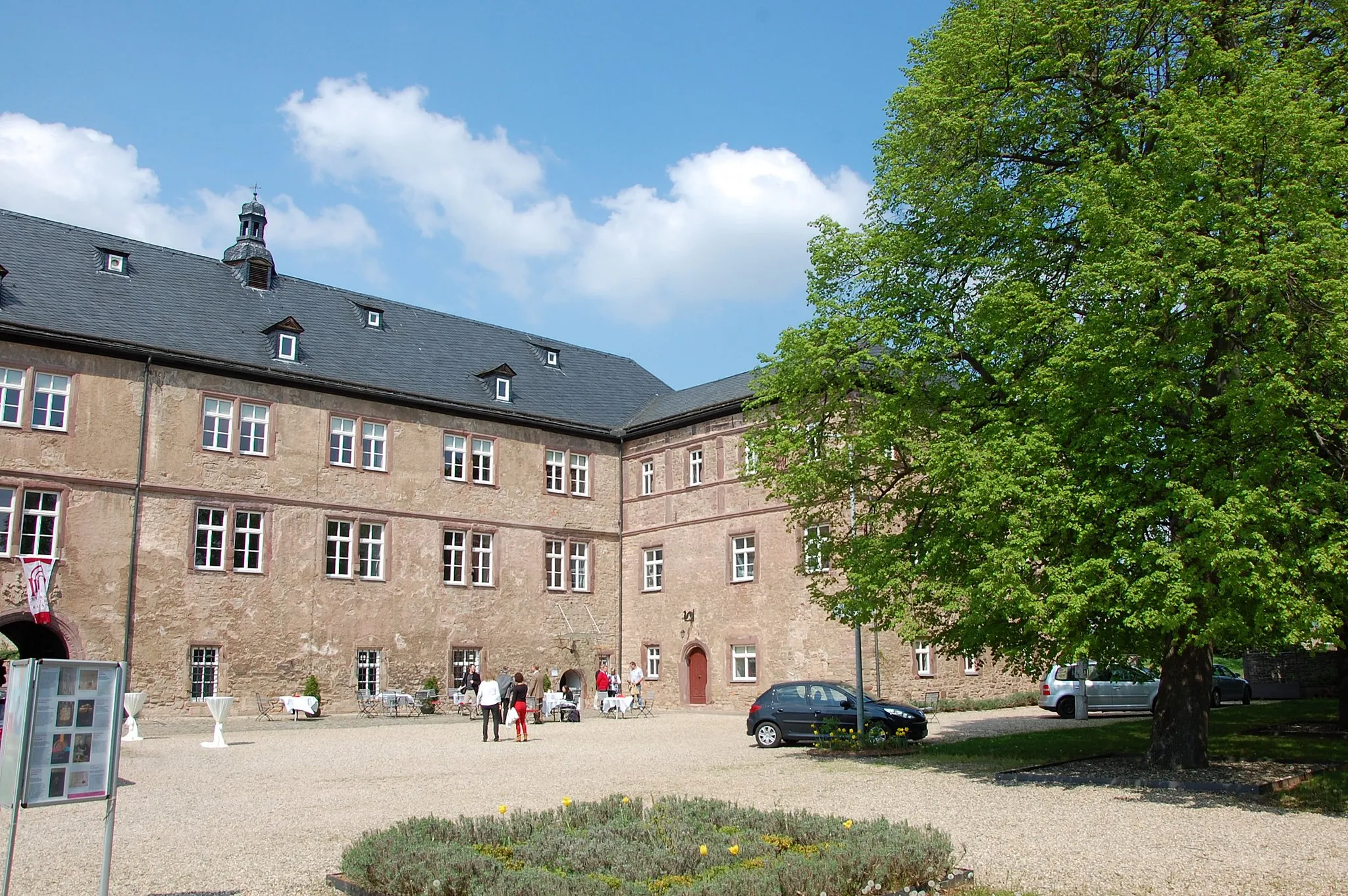
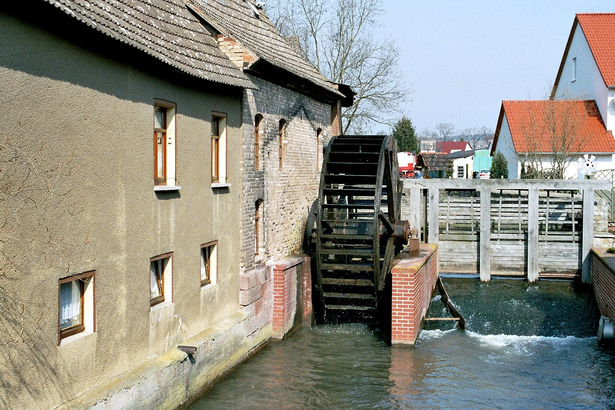
Brücken (Helme)VillageBrücken (Helme) is a picturesque village with a beautiful bridge spanning the river Helme.
45 km
45 km
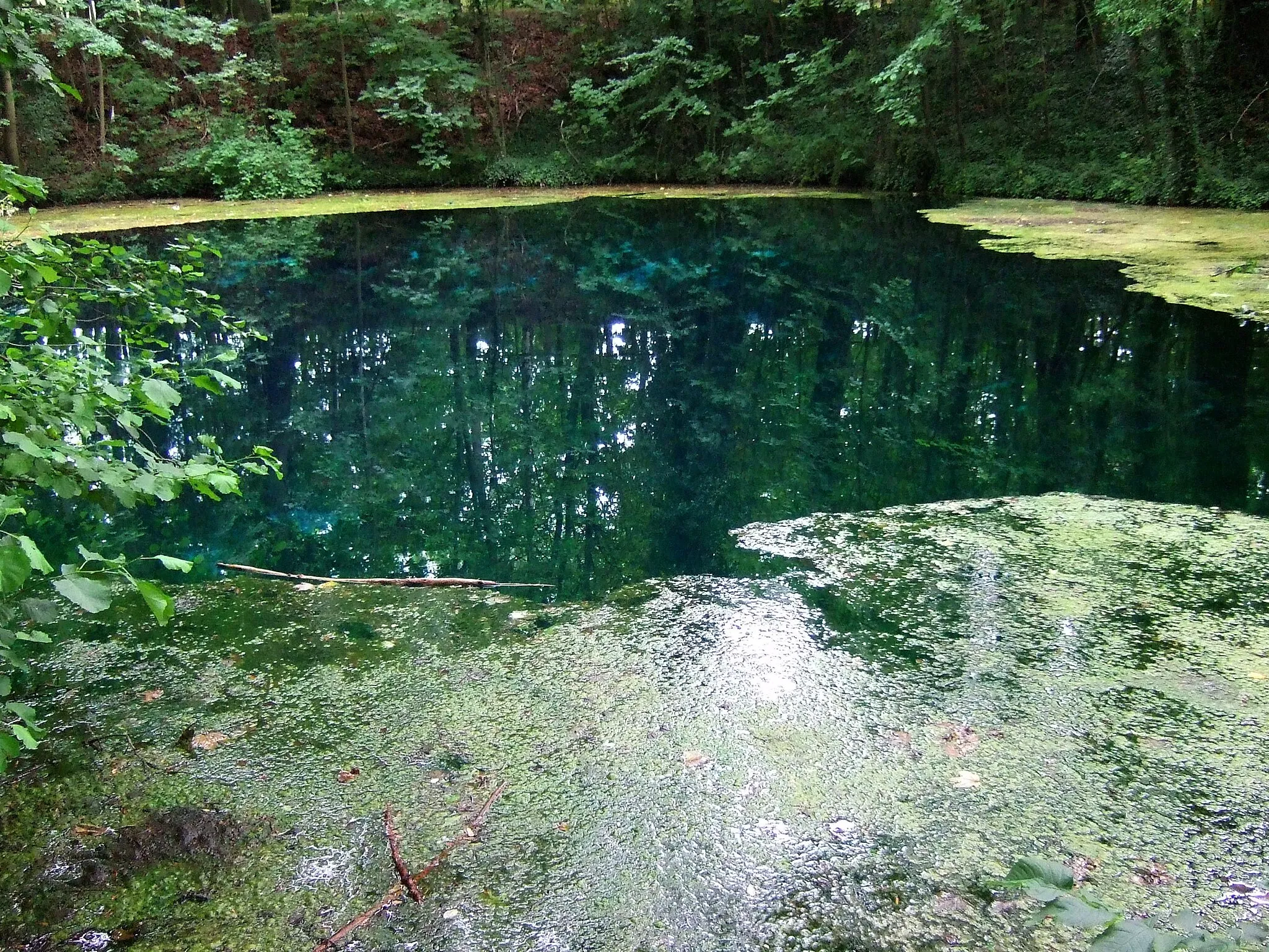
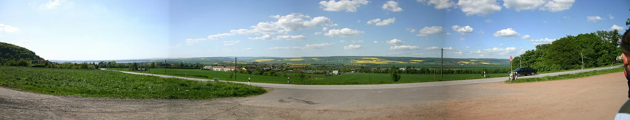
KatharinenriethVillageKatharinenrieth is a small village known for its idyllic setting and scenic surroundings.
54 km
54 km
RitteburgSub-urbRitteburg is a medieval castle ruin that offers breathtaking views over the surrounding countryside.
61 km
61 km
Schulzenberg320 mPeakSchulzenberg is a hill with a cross at its summit, offering panoramic views of the Thuringian landscape.
70 km
70 km
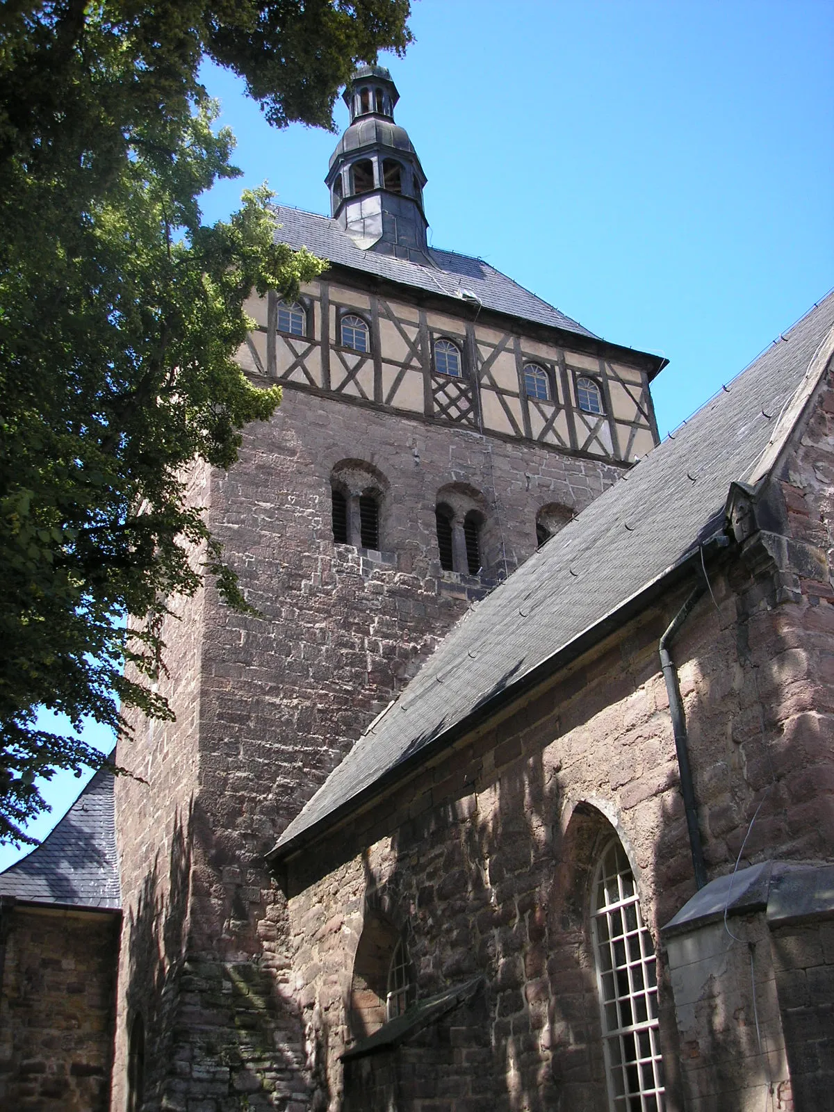
Stubenberg198 mPeakStubenberg is a charming village with half-timbered houses and scenic biking trails.
72 km
72 km
Finish: Oldisleben Village centerOldisleben: Tranquil rides through Thuringian countryside
Cycling routes nearby: