Gravel Adventure Loop
A gravel cycling route starting from Probstzella
Embark on an exciting gravel adventure loop through rugged terrain
Map
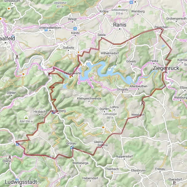
The Gravel Adventure Loop is a thrilling 80-kilometer off-road route that takes cyclists through rugged terrain near Probstzella. With an ascent of 2115 meters, this challenging gravel route is ideal for experienced riders seeking an adrenaline-fueled outdoor adventure. Starting in Probstzella, cyclists will pass through highlights such as Leutenberg, Schliefert, and Weisbach. The Gravel Adventure Loop offers an opportunity to explore lesser-known areas of Thuringia and enjoy the raw beauty of its countryside.
gravel
80 km
2115 m
Savage
Route profile
Highlights on the route
0 km
0 km
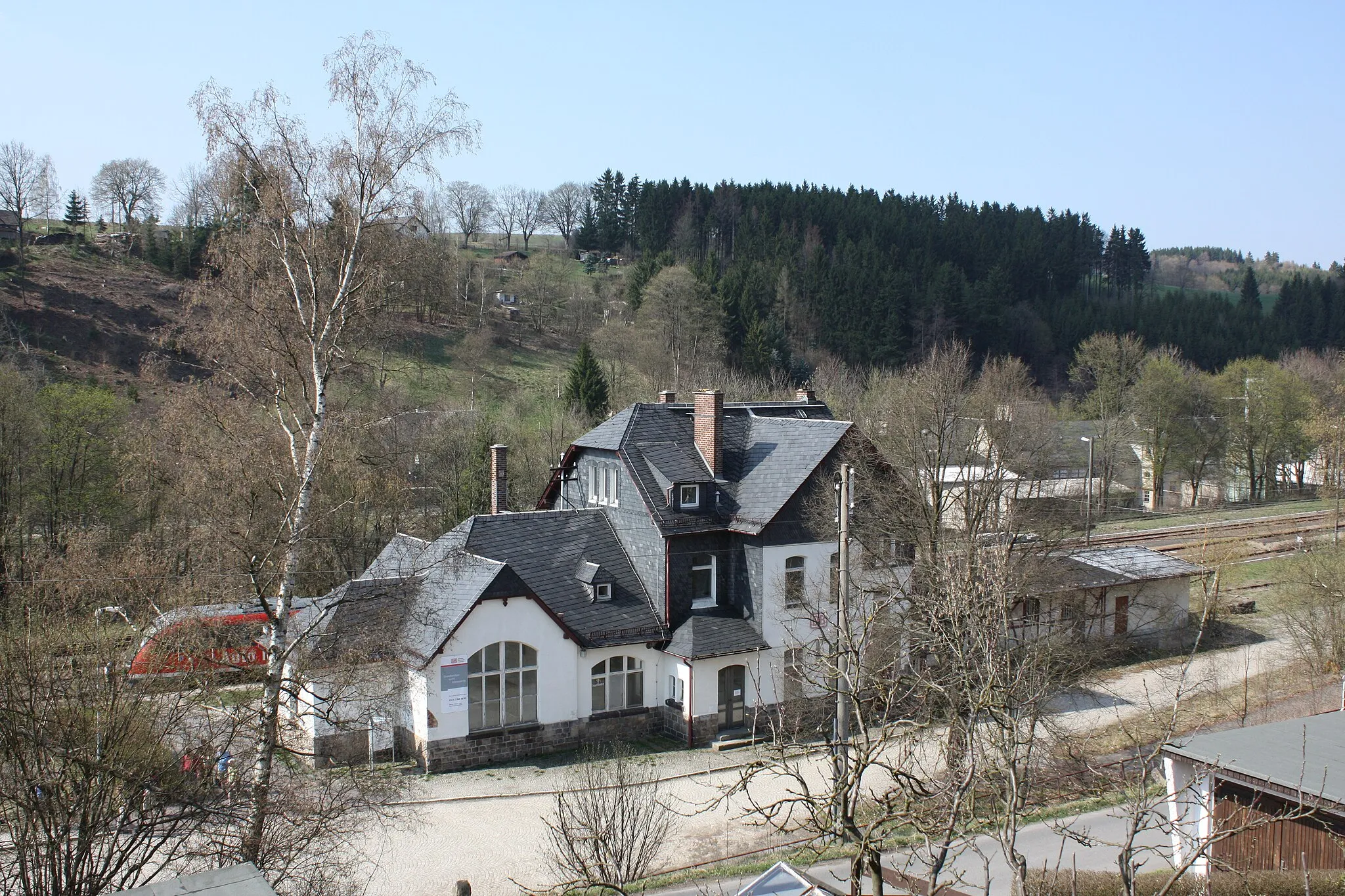
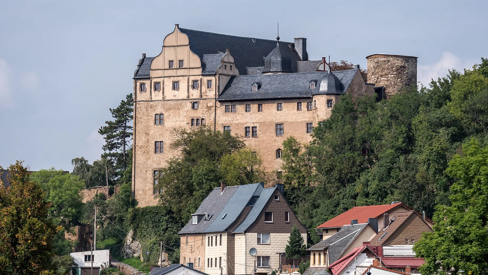
Start: Probstzella Village centerProbstzella: Adventurous Cycling Haven in Thüringen, Germany
Probstzella, located in Thüringen, Germany, is a cycling-friendly locality known for its challenging climbs and beautiful landscapes. This region is a paradise for road and gravel cyclists, offering routes that take you through picturesque forests, rolling hills, and charming villages. Cyclists can test their skills on the famous cycling spots nearby, such as Rennsteig and Drei Gleichen. The stunning views and exhilarating descents make Probstzella an ideal destination for thrill-seeking cyclists. With its diverse terrain and legendary cycling locations, Probstzella is a must-visit for cyclists looking for an unforgettable ride.10 km
10 km
LeutenbergVillageLeutenberg is a small historic town with cobblestone streets and medieval architecture. Take a moment to explore its charming old town and immerse yourself in its rich history.
17 km
17 km
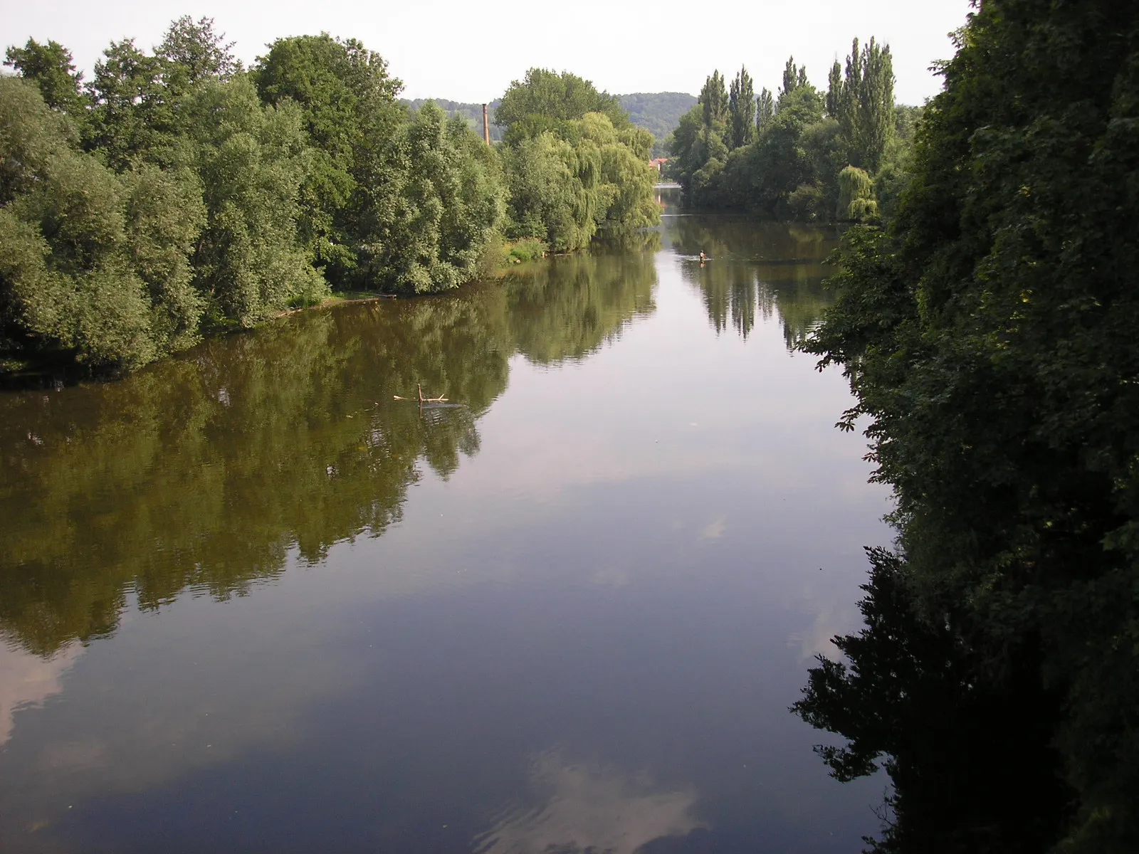
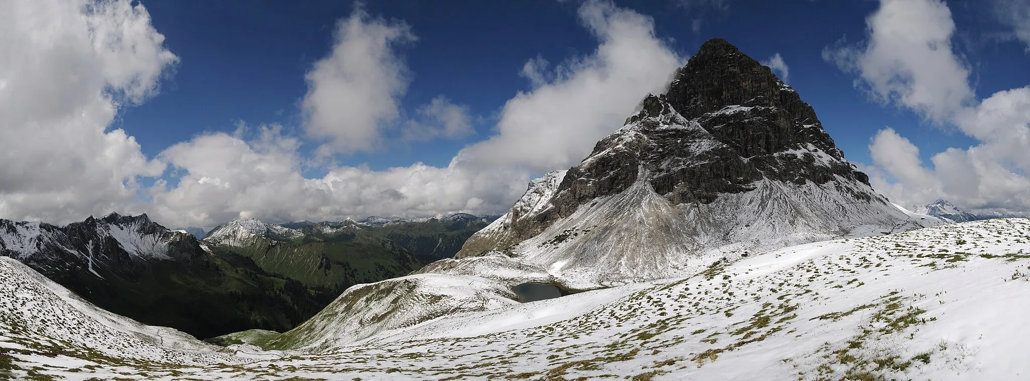
Schliefert561 mPeakSchliefert is a nature reserve known for its rugged beauty and diverse wildlife. Enjoy the serenity of the surroundings and experience a touch of wilderness on your gravel adventure.
35 km
35 km
Brand516 mPeakBrand is a remote village located amidst picturesque landscapes. Cyclists can take a break here and soak in the peaceful atmosphere while enjoying a picnic or capturing beautiful photos.
41 km
41 km
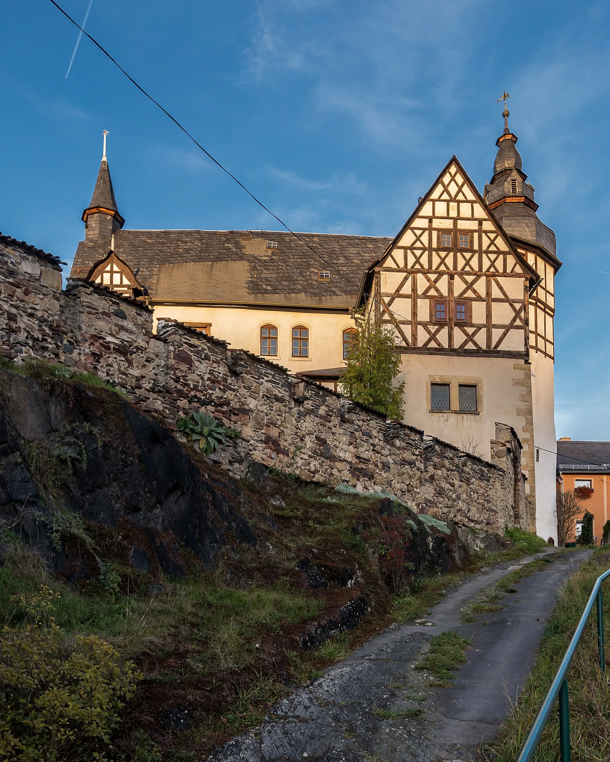
PeuschenVillagePeuschen is a small village with traditional timber-framed houses and a tranquil atmosphere. Pause your gravel adventure and explore the quaint streets to learn about the local culture and heritage.
56 km
56 km
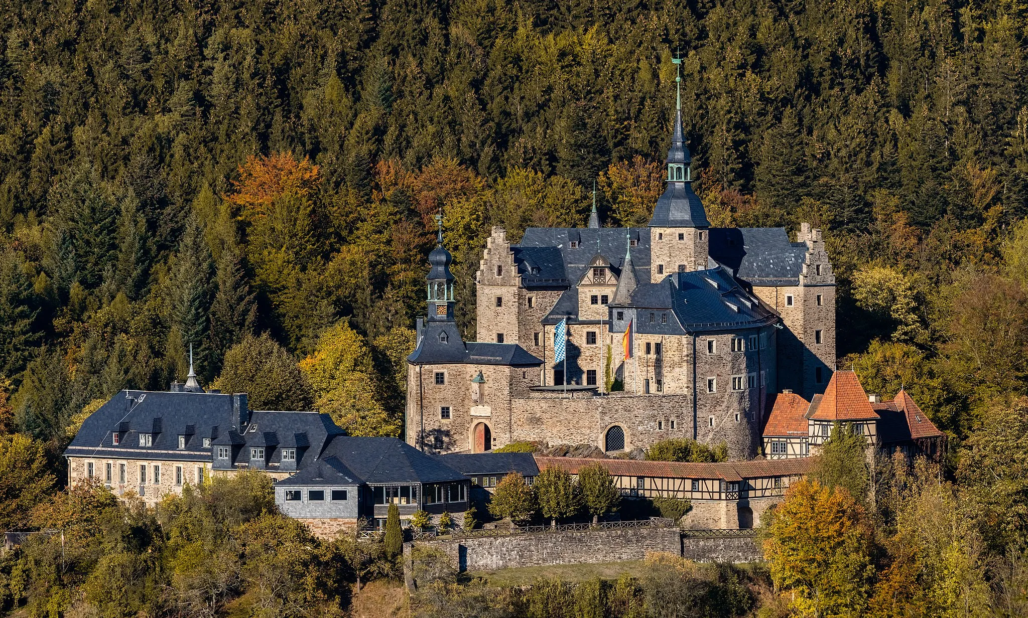
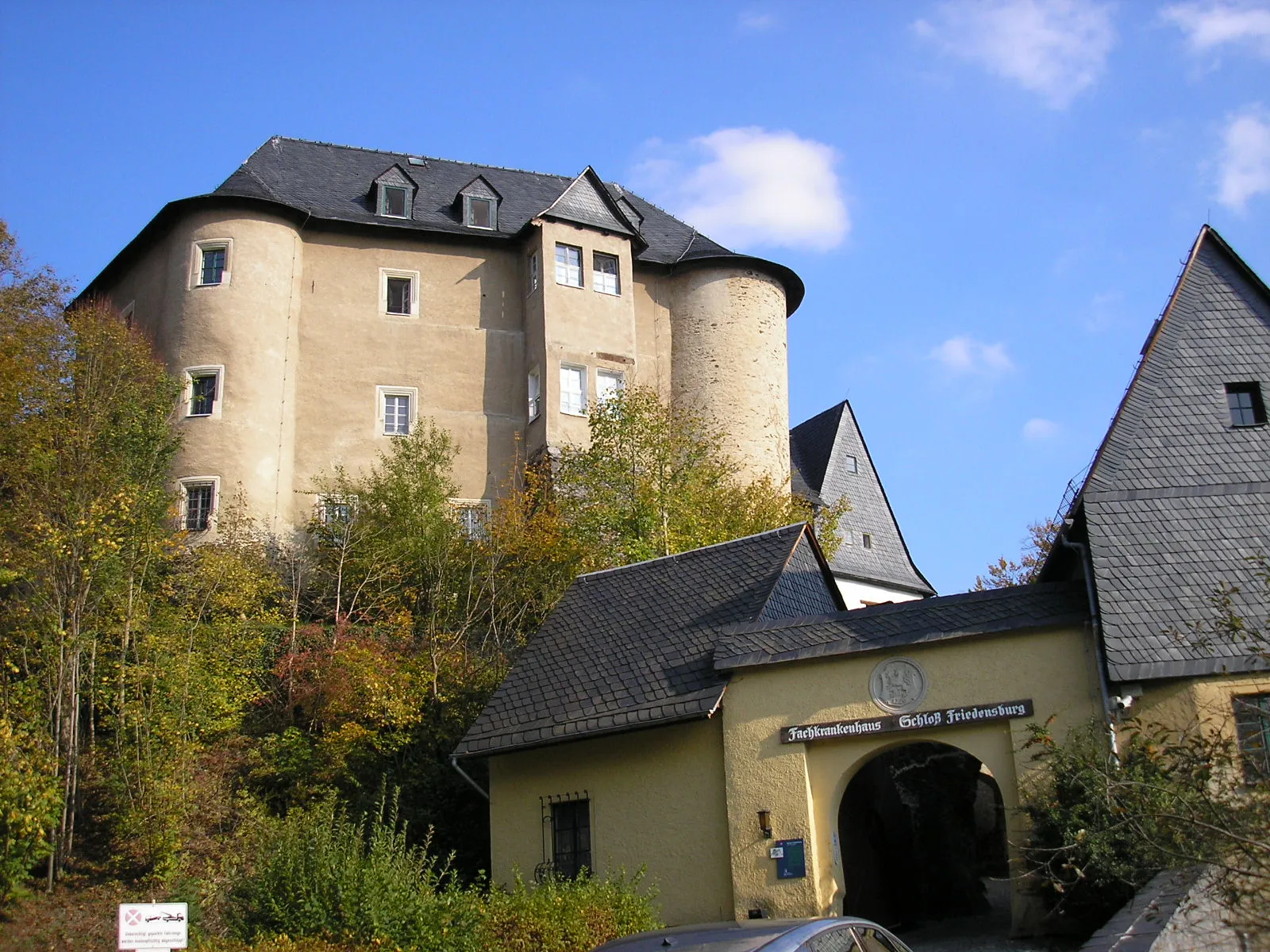
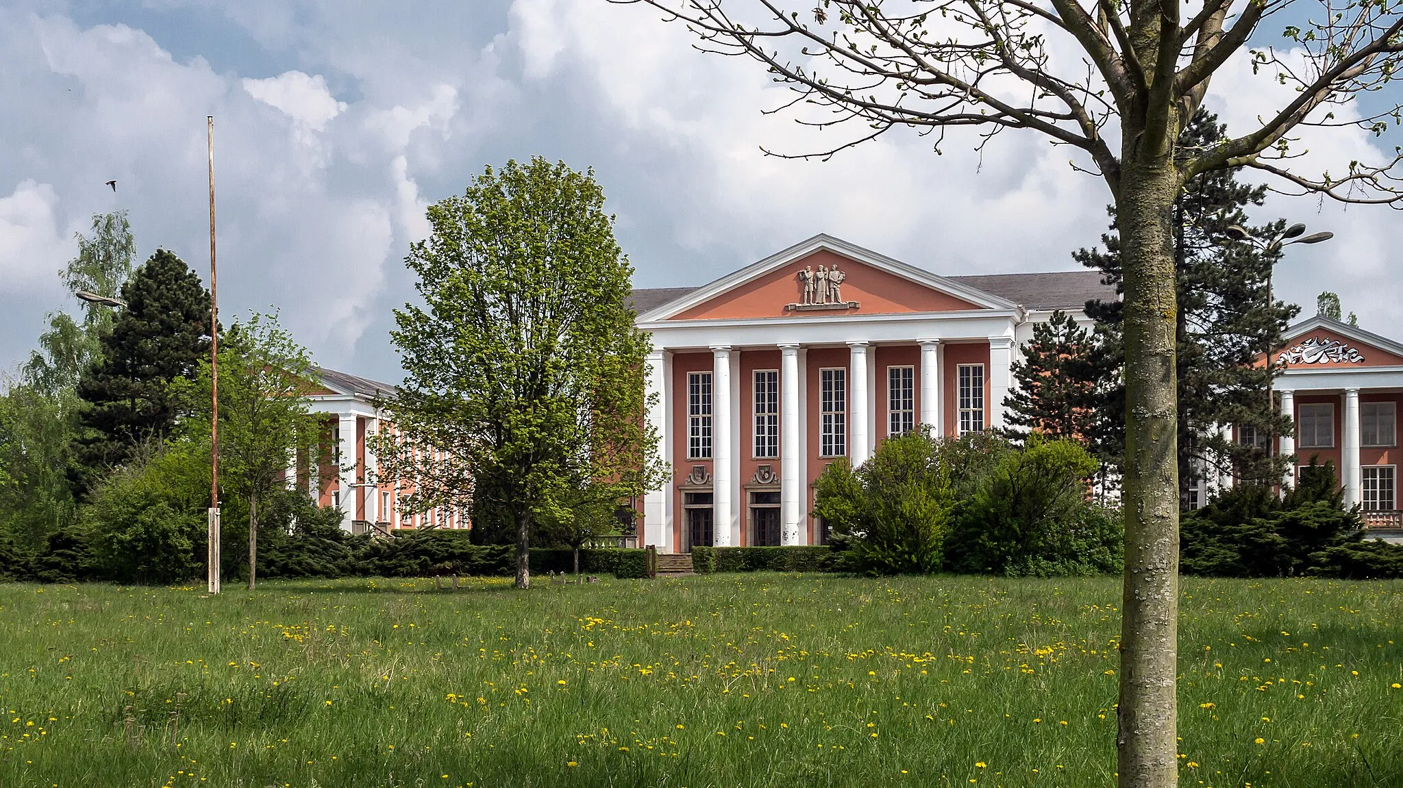
Schloßkopf444 mPeakSchloßkopf is a hilltop castle ruin offering panoramic views of the surrounding countryside. Hike up to the ruins and enjoy the stunning vistas and a sense of adventure.
58 km
58 km
WeisbachVillageWeisbach is a charming countryside village with rolling hills and a peaceful ambiance. As you pass through, take a moment to appreciate the simplicity and beauty of rural life in Thuringia.
66 km
66 km
RauschengeseesVillageRauschengesees is a tranquil lake surrounded by forested hills. Cyclists can stop by for a refreshing swim or rest on the shores, basking in the natural beauty of the area.
69 km
69 km
Mittelberg595 mPeakMittelberg is a scenic hill with breathtaking views of the Thuringian Forest. For a moment of tranquility and awe-inspiring landscapes, make sure to stop at this prominent natural spot.
76 km
76 km
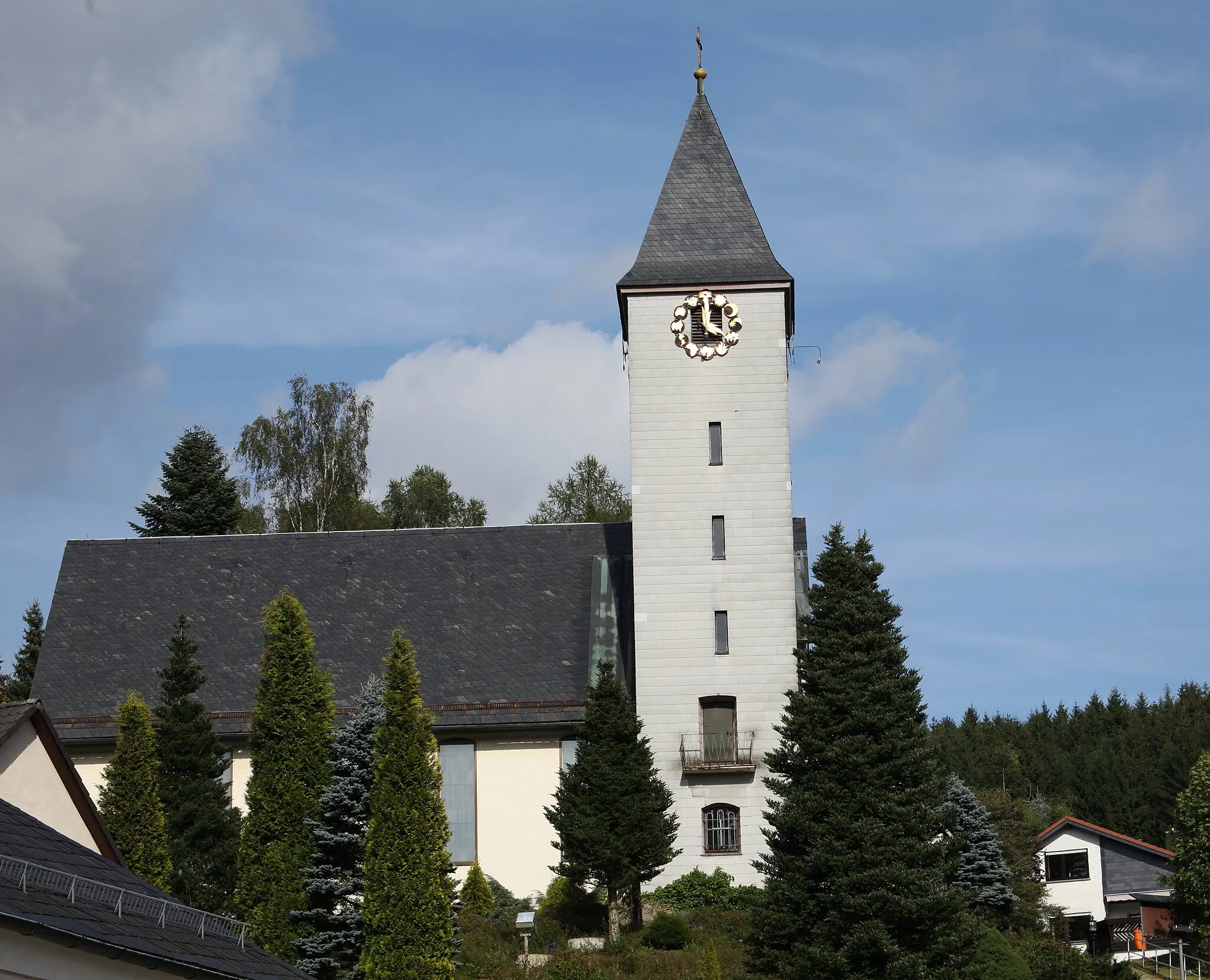
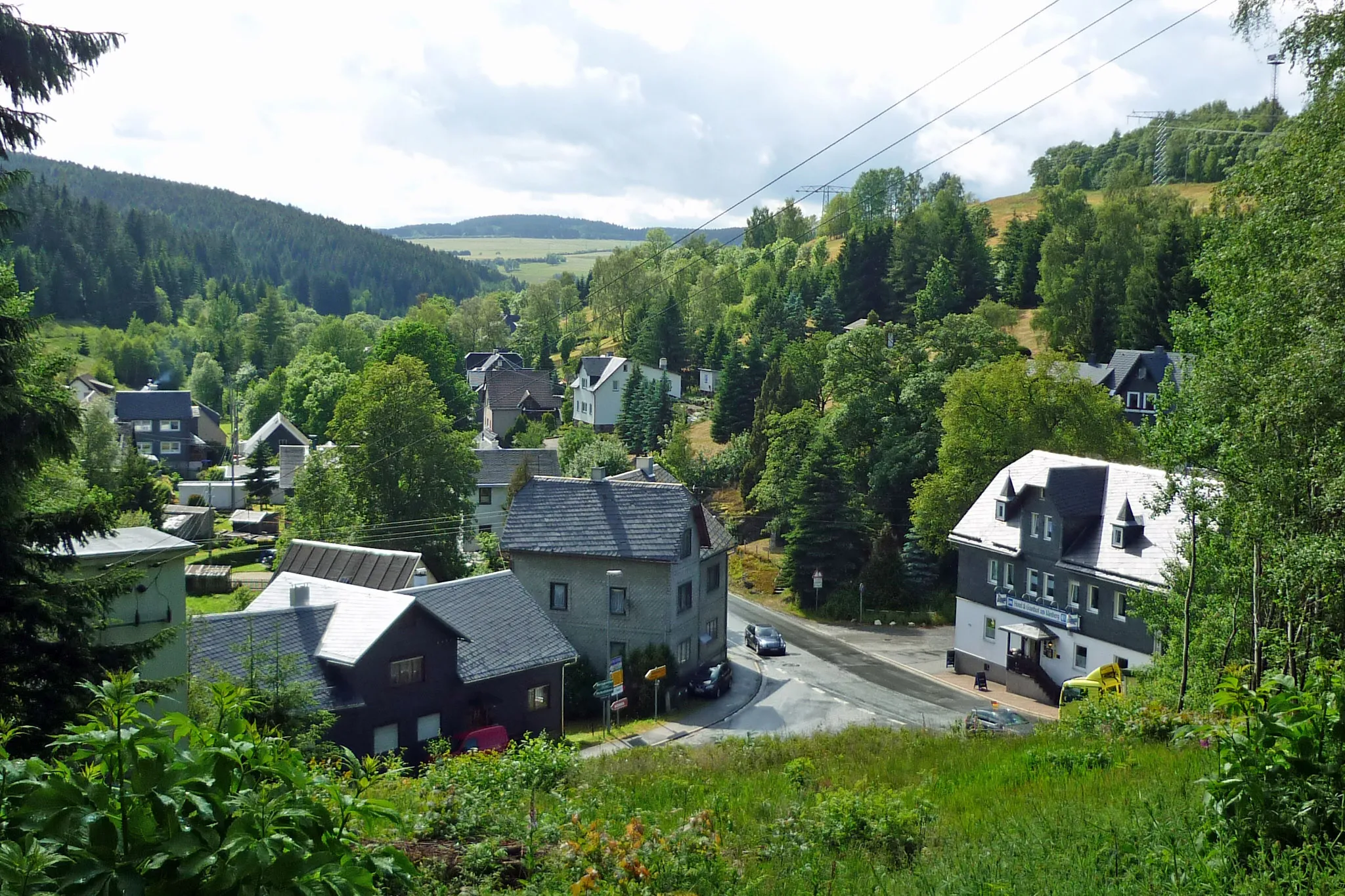
Steinbach an der HaideVillageSteinbach an der Haide is a small village known for its traditional thatched-roof houses. Experience the charm of rural Thuringia as you cycle through this idyllic countryside.
78 km
78 km
Hopfsberg508 mPeakHopfsberg is a remote hillside with panoramic views, providing a sense of solitude and endless vistas. Take a moment to appreciate the untouched wilderness of this natural setting.
80 km
80 km
Finish: Probstzella Village centerProbstzella: Adventurous Cycling Haven in Thüringen, Germany
Cycling routes nearby: