Panoramic Forests Tour
A road cycling route starting from Schalkau
Embark on a scenic journey through the enchanting forests and majestic landscapes near Schalkau!
Map
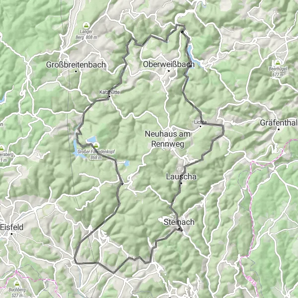
Explore the beauty of the Thuringian Forest on this road cycling route covering a distance of 89 kilometers with an ascent of 1673 meters. The difficulty level is high, offering a challenging experience for well-trained amateur cyclists. With an epicness level of 4, this tour takes you through stunning landscapes and highlights the region's natural splendor.
road
89 km
1673 m
Tough
Route profile
Highlights on the route
0 km
0 km
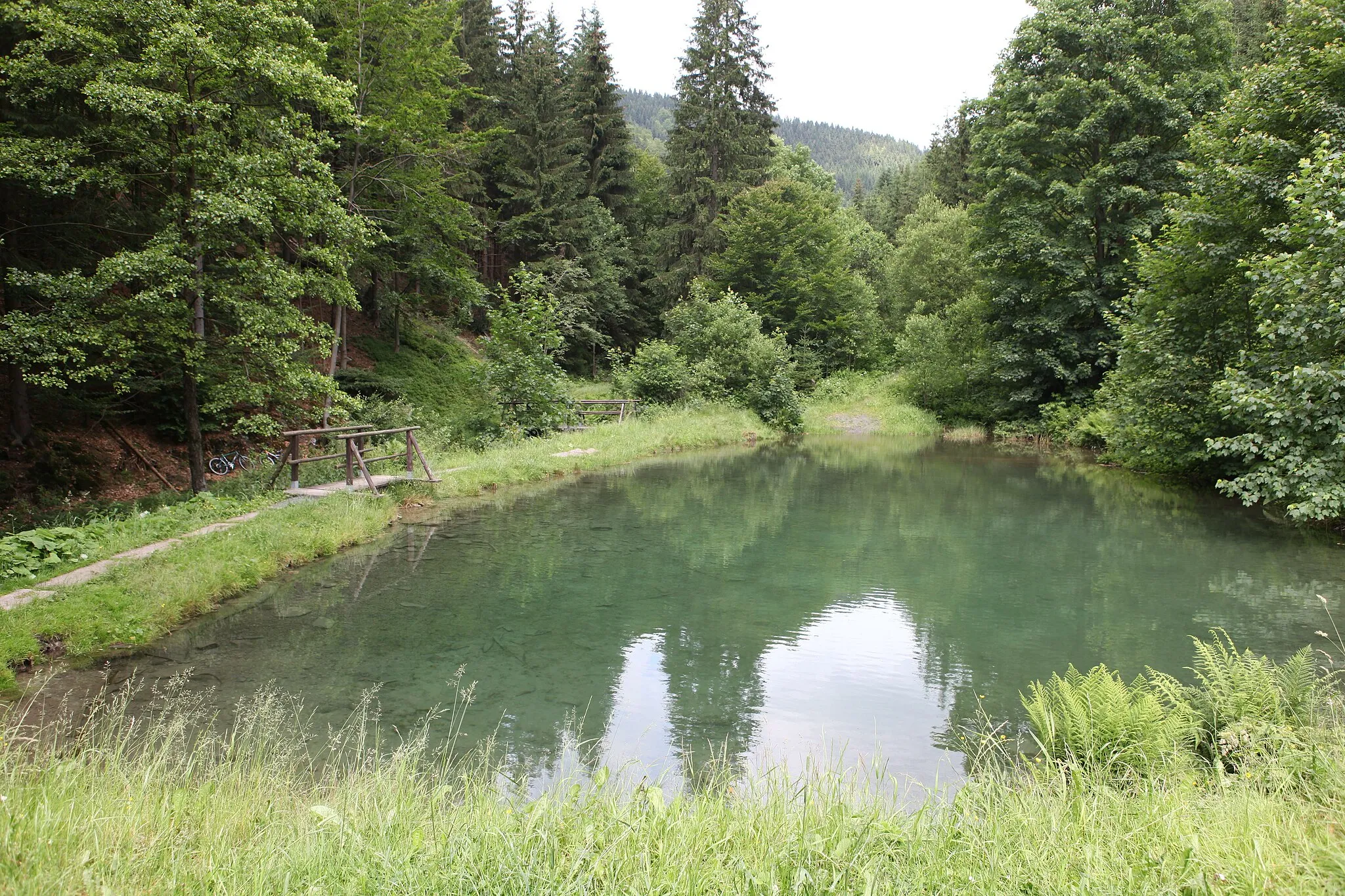
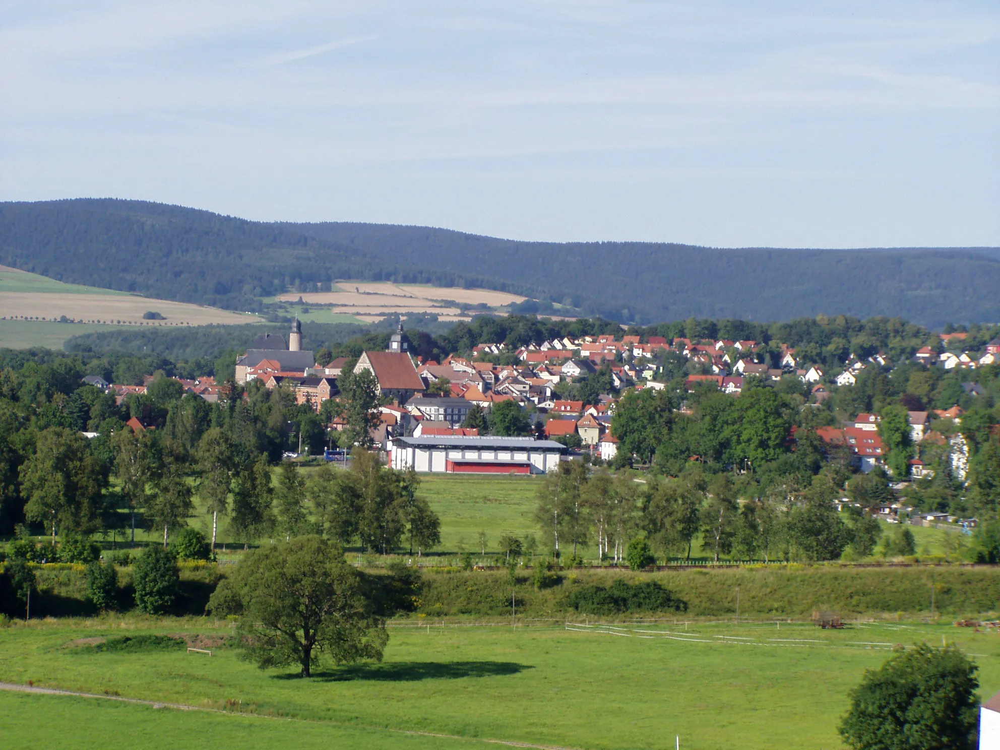
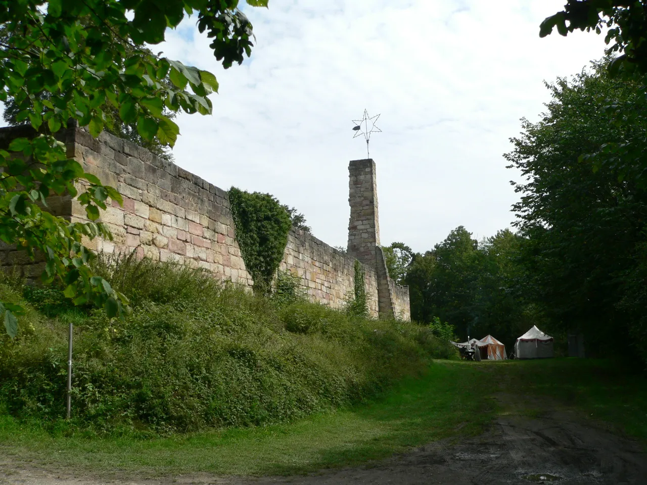
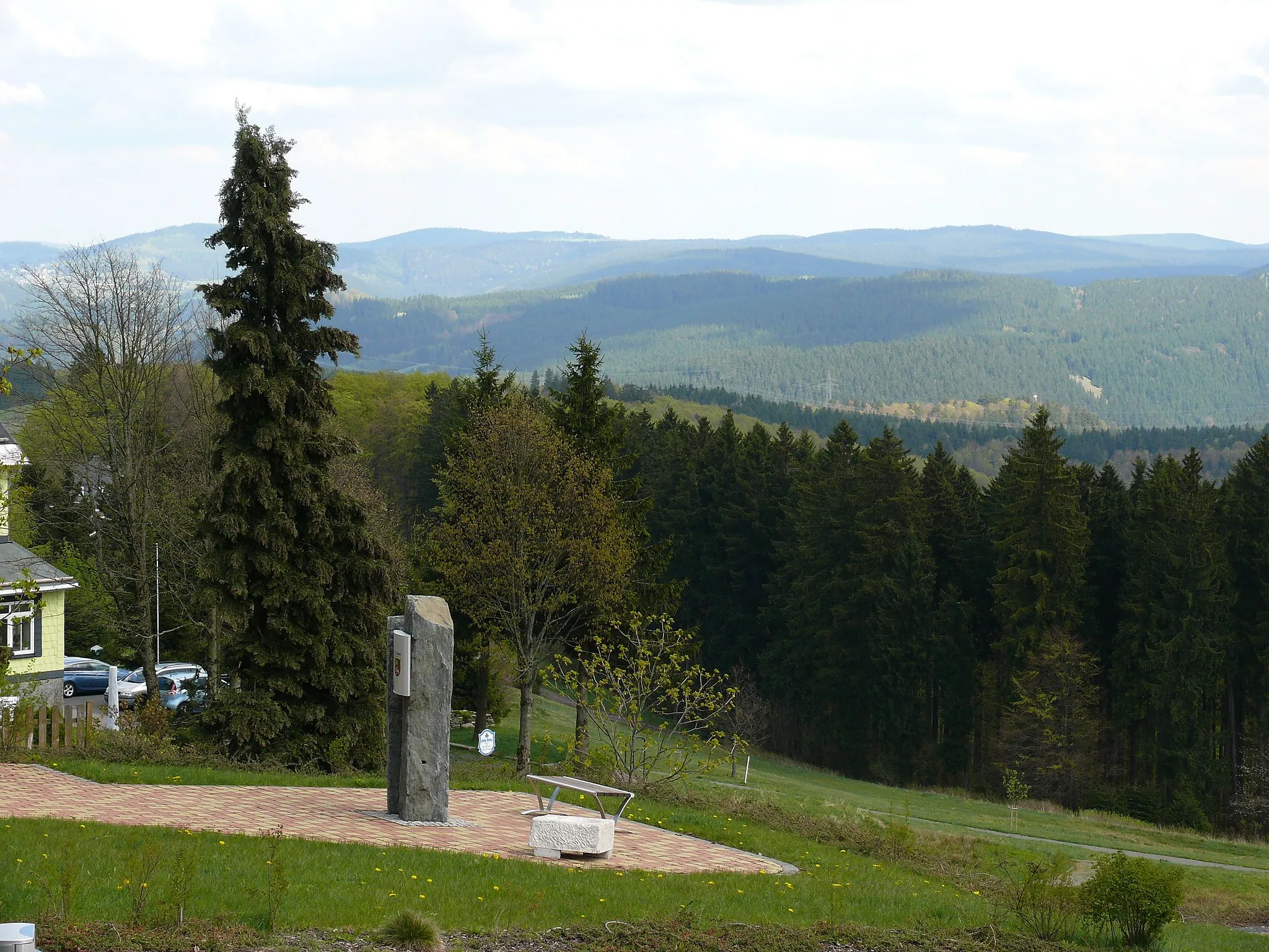
Start: Schalkau Village centerSchalkau: Journey through the stunning Thuringian Forest
Schalkau in Thüringen, Germany is a fantastic destination for both road and gravel cyclists. Located in the heart of scenic Thuringian Forest, Schalkau offers a variety of cycling routes suitable for all levels of cyclists. The region is famous for its well-maintained cycling paths, allowing cyclists to explore the breathtaking nature and historic landmarks while enjoying a leisurely ride. A must-visit spot for cyclists in the area is the Rennsteig, a famously scenic trail that traverses through the Thuringian Forest. Whether you're looking for challenging climbs or leisurely rides, Schalkau has it all, making it a top choice for cyclists visiting Thüringen.13 km
13 km
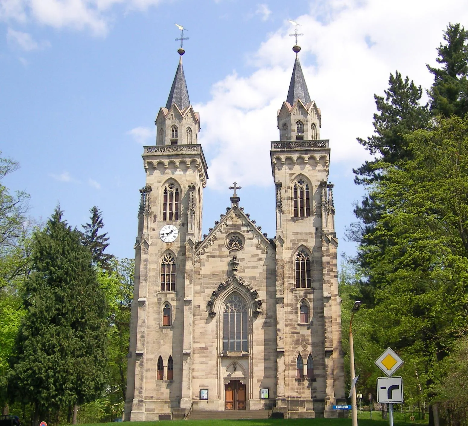
Scheibe-AlsbachVillageScheibe-Alsbach, located 13 kilometers from Schalkau, is a charming village with traditional half-timbered houses and stunning views.
17 km
17 km
Pumpspeicherwerk GoldisthalViewpointPumpspeicherwerk Goldisthal, situated 17 kilometers from Schalkau, is an impressive hydropower plant worth visiting for its unique architecture.
34 km
34 km
Wehfuß589 mPeakWehfuß, at a distance of 34 kilometers from Schalkau, is known for its scenic lakeside location and offers a perfect resting spot.
36 km
36 km
Mellenbach-GlasbachVillageMellenbach-Glasbach, located 36 kilometers from Schalkau, is a scenic village surrounded by dense forests and beautiful hiking trails.
43 km
43 km
UnterweißbachVillageUnterweißbach, at a distance of 43 kilometers from Schalkau, is home to the toy museum, where you can learn about the region's toy-making heritage.
55 km
55 km
Sauhügel722 mPeakSauhügel, situated 55 kilometers from Schalkau, offers splendid views over rolling hills covered in lush green forests.
64 km
64 km
Pappenheimer Berg835 mPeakPappenheimer Berg, located 64 kilometers from Schalkau, is a challenging climb amidst dense forests, rewarding you with panoramic views at the top.
67 km
67 km
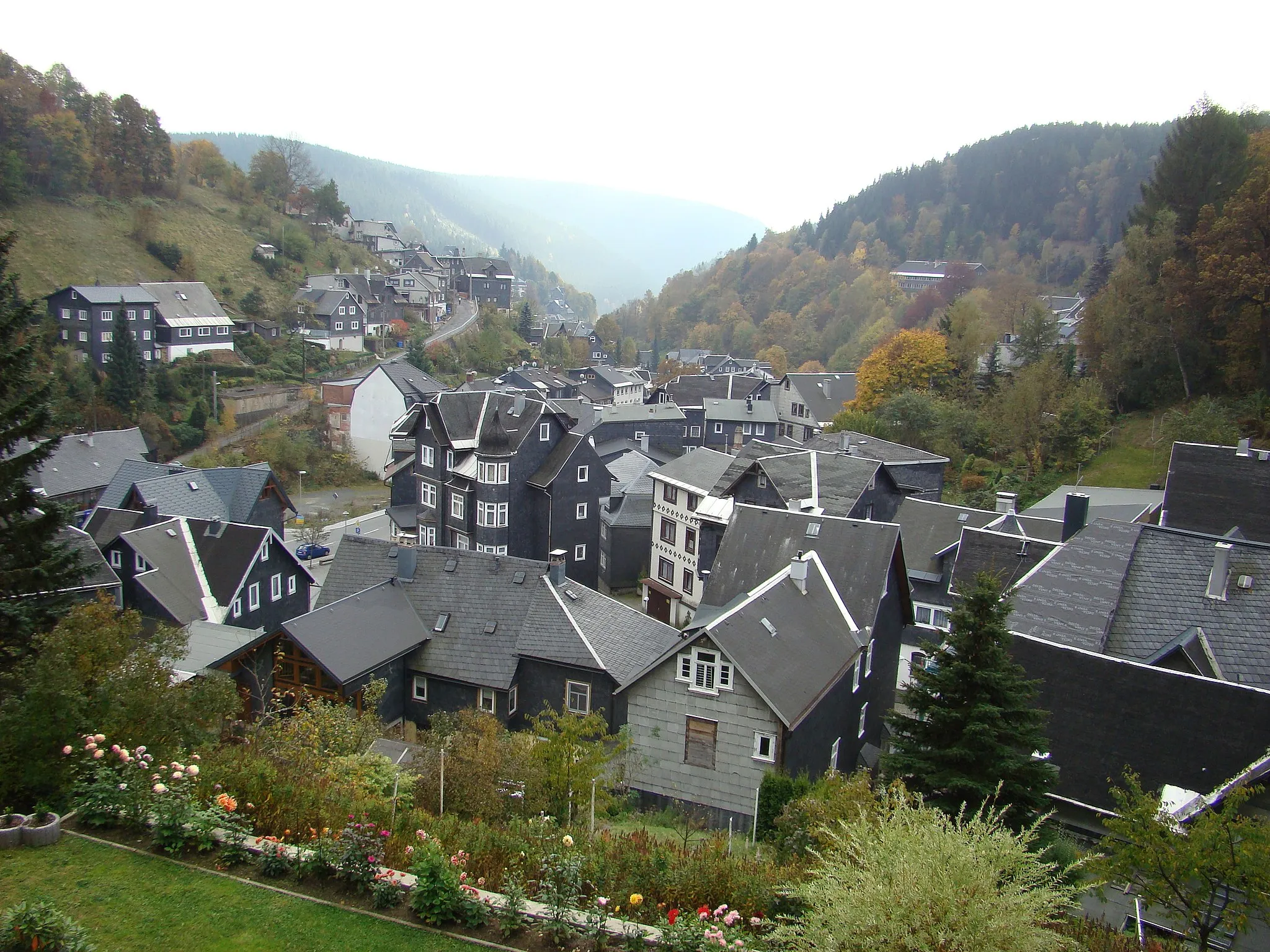
LauschaTownLauscha, at a distance of 67 kilometers from Schalkau, is famous for its glass production and offers an opportunity to visit a glassblowing workshop.
74 km
74 km
Lerchenberg589 mPeakLerchenberg, situated 74 kilometers from Schalkau, provides an opportunity to explore nature trails and enjoy beautiful scenic views along the way.
80 km
80 km
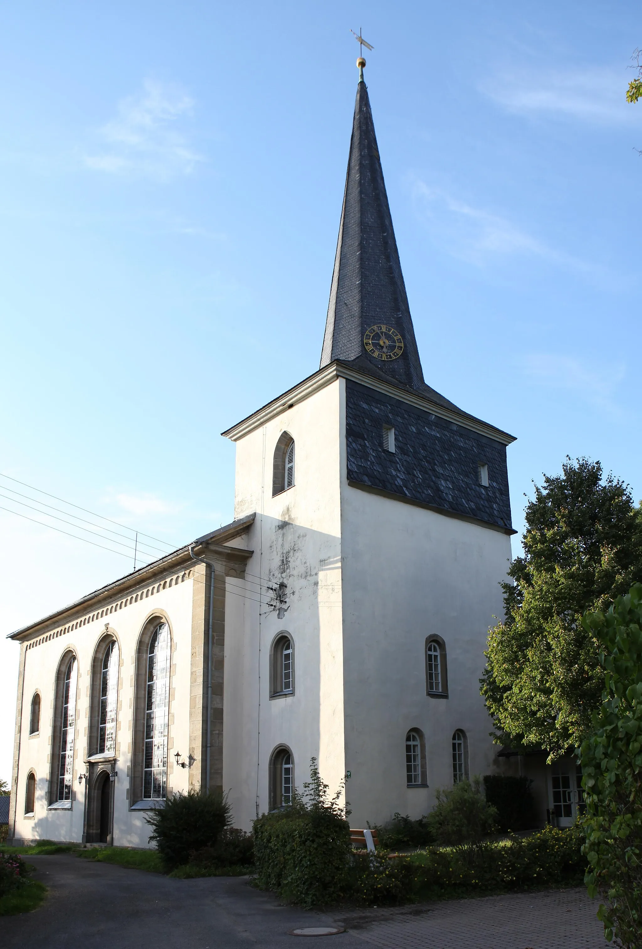
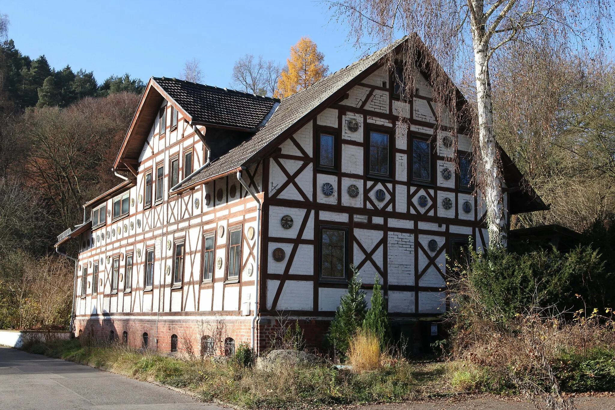
Mengersgereuth-HämmernVillageMengersgereuth-Hämmern, located 80 kilometers from Schalkau, is known for its traditional architecture, including several idyllic half-timbered houses.
89 km
89 km
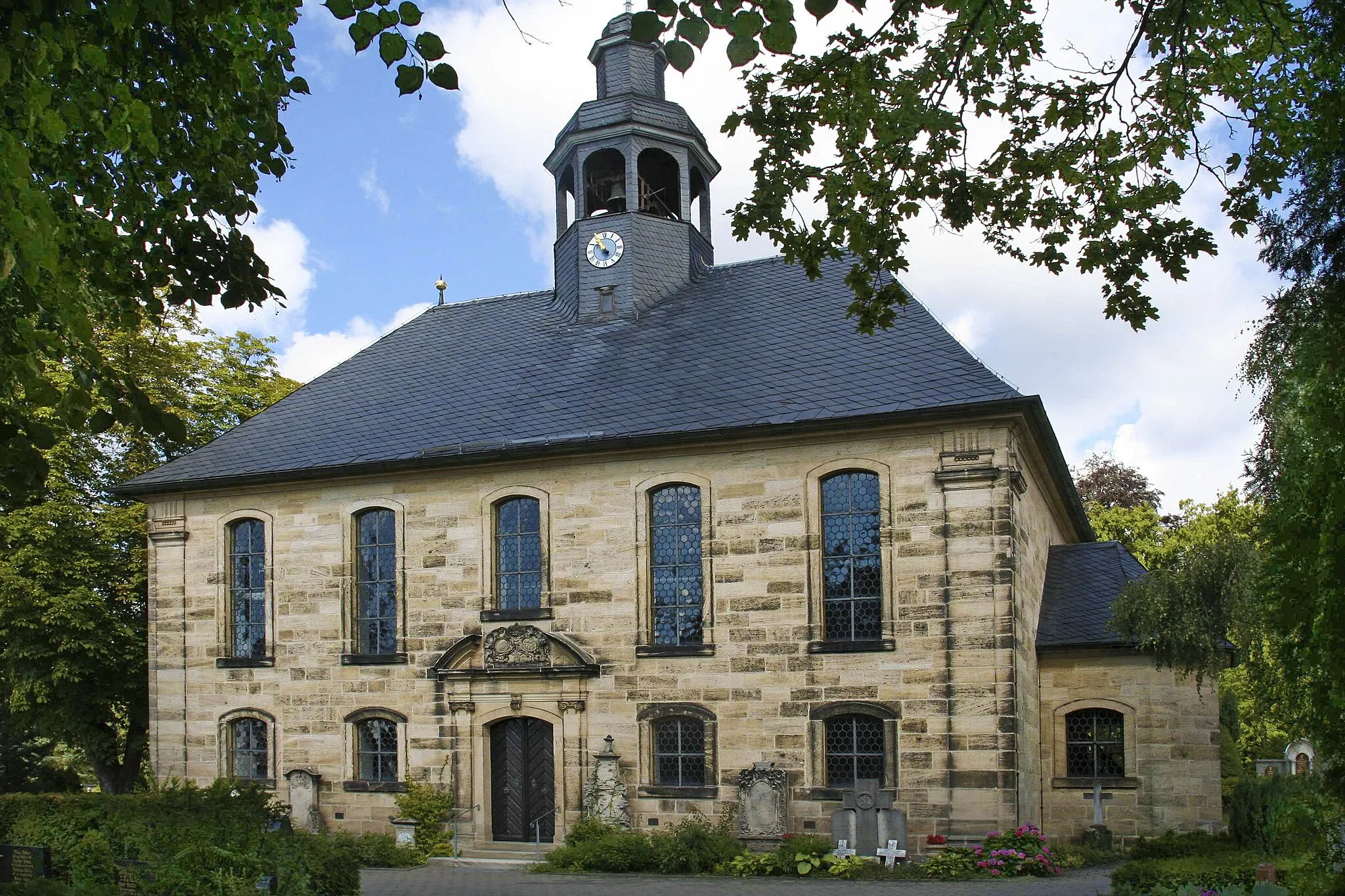
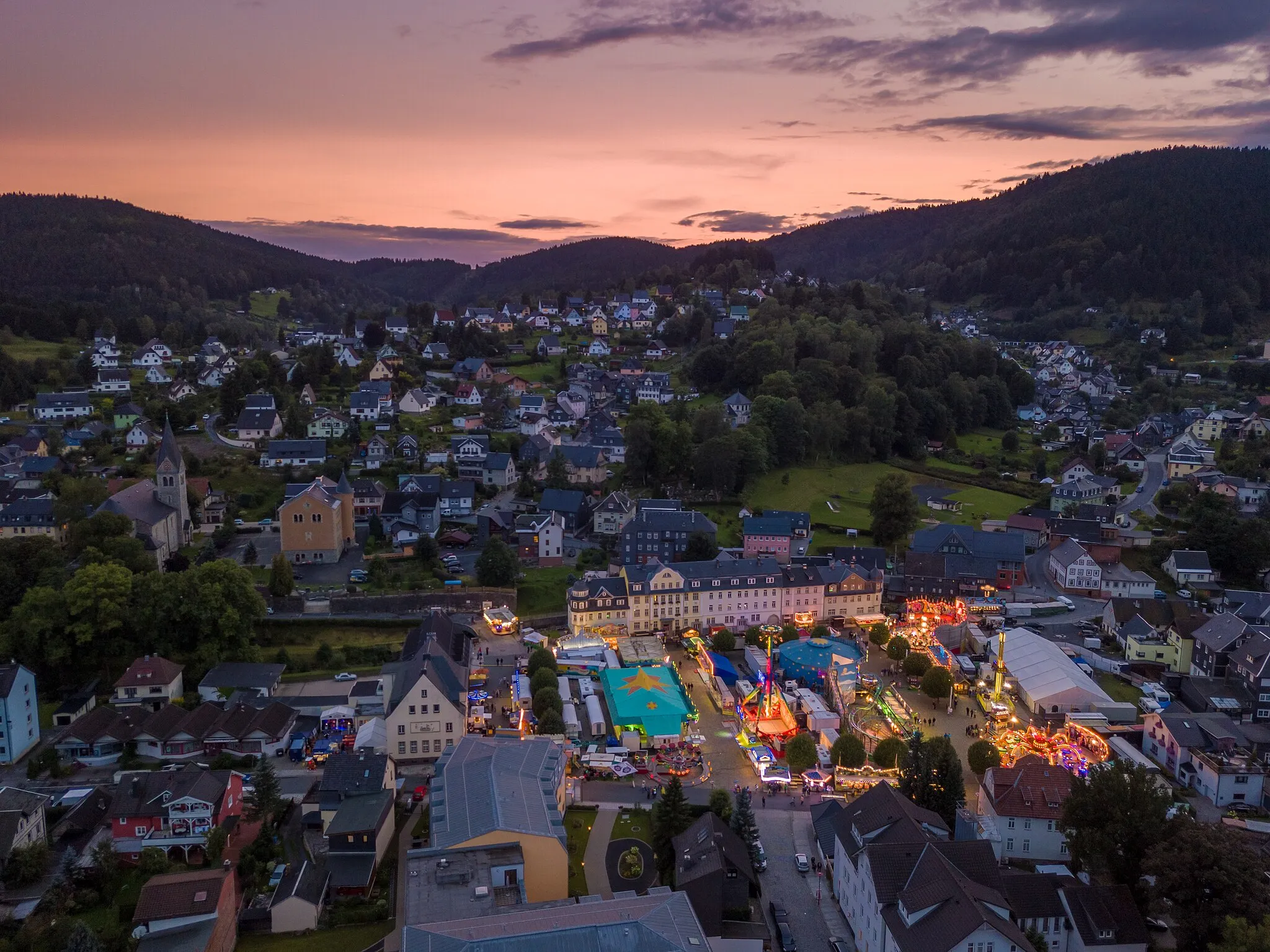
SchalkauVillageSchalkau, the starting and ending point of this route, is a charming town nestled in the Thuringian Forest, offering various outdoor activities.
89 km
89 km
Finish: Schalkau Village centerSchalkau: Journey through the stunning Thuringian Forest
Cycling routes from Schalkau:
Coburg Hills Adventure Gravel Delight Thuringian Hills Challenge Panoramic Forests Tour Thüringen Gravel Adventure Gravel Adventure in Schalkau Road Cycling Adventure from Schalkau Thuringian Gravel Adventure Challenging Gravel Adventure near Schalkau Scenic Road Cycling Tour near Schalkau The Ultimate Gravel Challenge: Conquering Thüringen The Gravel Adventure: Schalkau and Back Exploring the Countryside: A Gravel Odyssey
Cycling routes nearby: