Enchanting Road Cycling Adventure
A road cycling route starting from Schleusingen
Embark on a challenging road cycling experience and uncover scenic landscapes
Map

This road cycling route starting near Schleusingen covers a distance of 133 km with a total ascent of 1574 meters. It is suitable for well-trained amateurs seeking a good challenge.
road
133 km
1574 m
Tough
Route profile
Highlights on the route
0 km
0 km
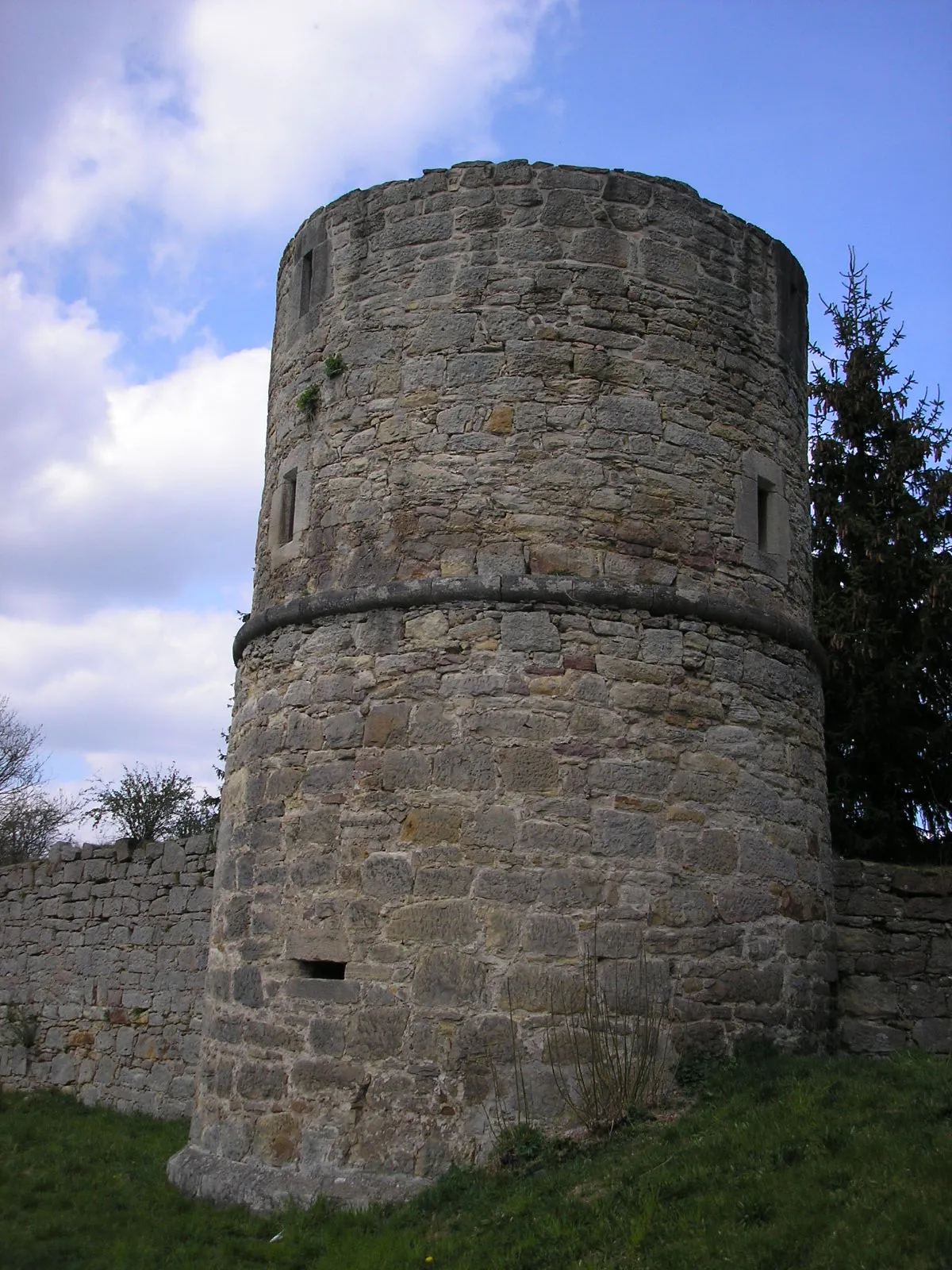
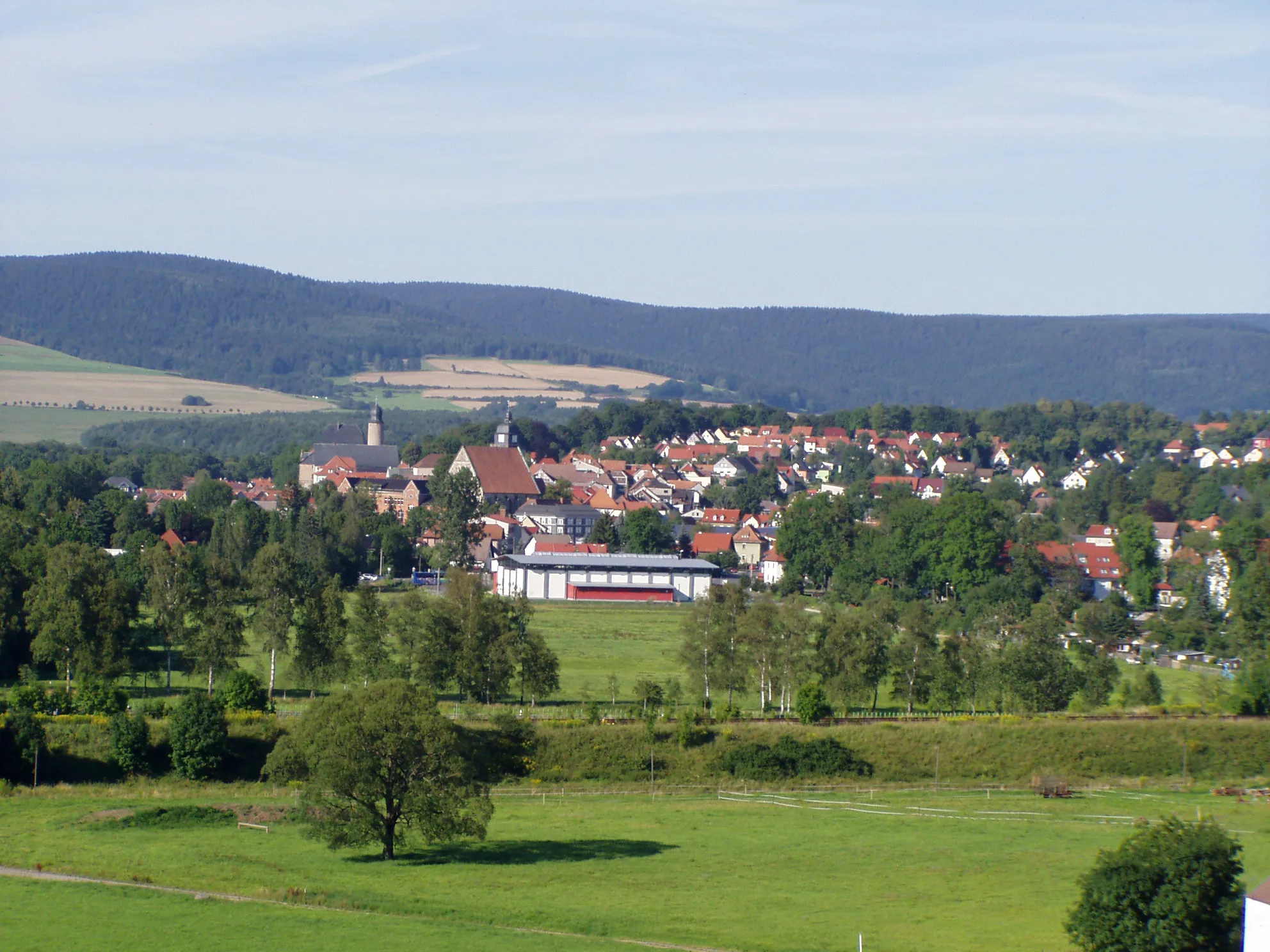
Start: Schleusingen City centerSchleusingen: Embark on an adventure through the diverse landscapes of Schleusingen, Germany.
Schleusingen, located in Thüringen, Germany, is a hidden gem for road and gravel cyclists. The region offers a diverse range of landscapes, from rolling hills to dense forests, providing cyclists with plenty of opportunities to explore. One of the well-known cycling routes in the area is the Rennsteig, a historic trail that offers breathtaking views and challenging climbs. Schleusingen also hosts several local cycling events, which attract both recreational and competitive cyclists. With its beautiful scenery and cycling-friendly atmosphere, Schleusingen is a fantastic destination for cyclists seeking adventure and natural beauty.10 km
10 km
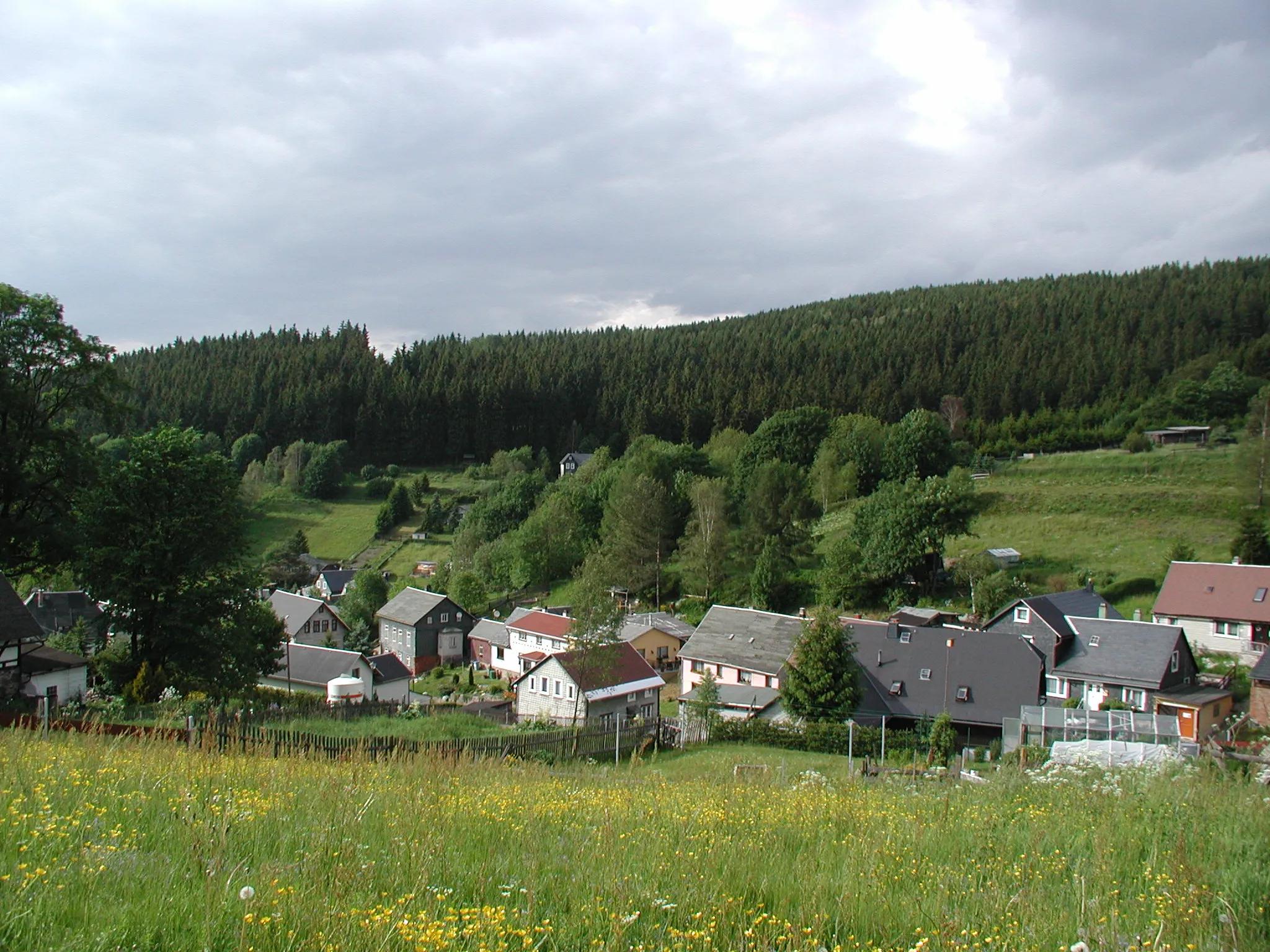
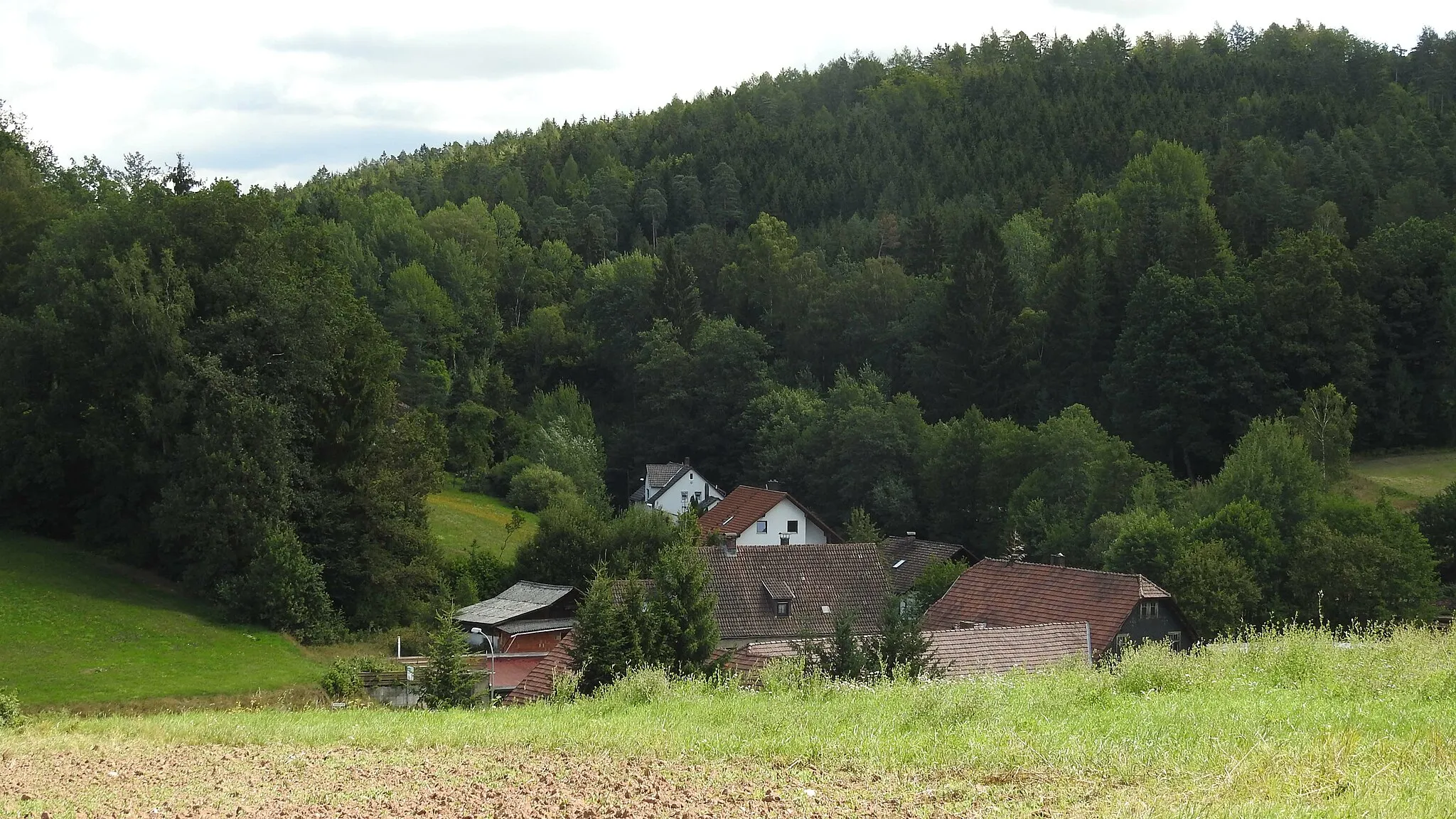
BiberschlagVillagePass through the small village of Biberschlag, known for its picturesque rural setting.
14 km
14 km
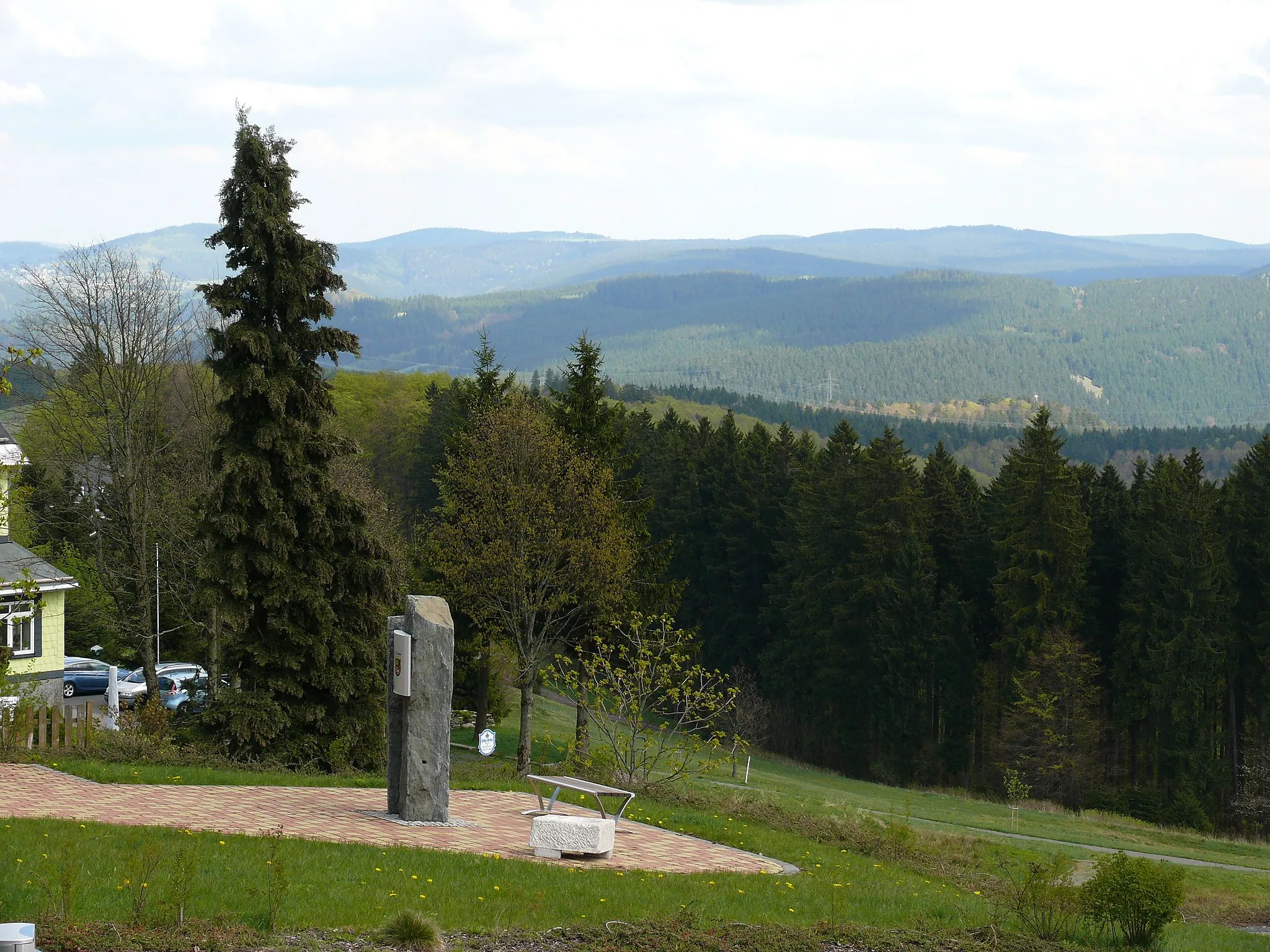
Irmelsberg525 mPeakTake a detour to Irmelsberg and enjoy the panoramic views of the surrounding countryside.
29 km
29 km
TremersdorfVillageCycle through the quaint village of Tremersdorf and marvel at its well-preserved historic buildings.
32 km
32 km
Jägersberg491 mPeakMake a stop at Jägersberg and relax in the peaceful atmosphere of this idyllic hilltop.
42 km
42 km
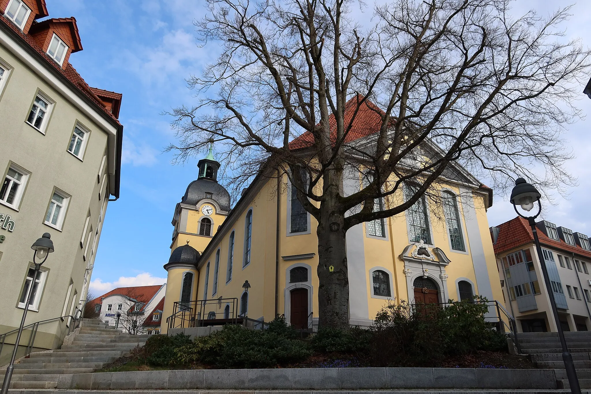
CoburgTownExplore the historic town of Coburg and discover its fascinating heritage.
50 km
50 km
UntersiemauVillageVisit the charming village of Untersiemau and soak in the beauty of its rural landscapes.
60 km
60 km
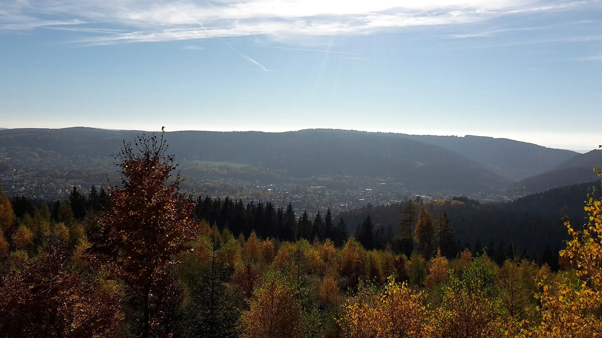
HimmelreichViewpointDiscover the tranquility of Himmelreich, a picturesque spot nestled amidst nature.
71 km
71 km
Ebern-BlickViewpointStop by Ebern-Blick and marvel at the breathtaking views overlooking the town of Ebern.
78 km
78 km
PfarrweisachVillagePass through Pfarrweisach and admire its well-preserved half-timbered houses and charming atmosphere.
95 km
95 km
HellingenVillageChallenge yourself with a climb up Hellingen, a legendary uphill route known for its difficulty.
97 km
97 km
Höhenberg403 mPeakExperience the thrilling ascent to Höhenberg and enjoy the panoramic views from the top.
116 km
116 km
Pfaffenkopf459 mPeakClimb the challenging Pfaffenkopf and be rewarded with stunning vistas over the surrounding landscapes.
120 km
120 km
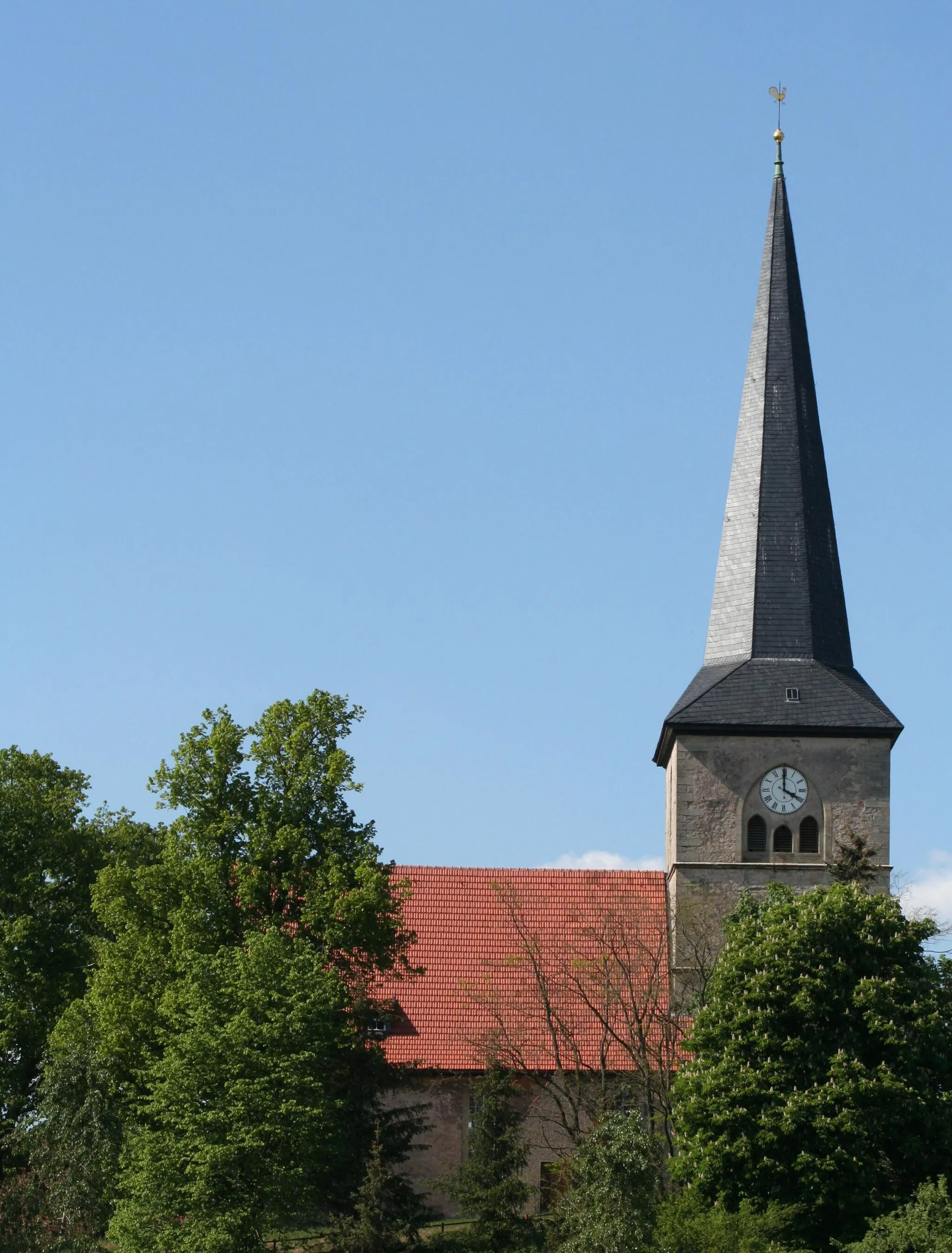
HildburghausenTownExplore the historic town of Hildburghausen and immerse yourself in its rich cultural heritage.
131 km
131 km
Sieben BäumeViewpointPass through the scenic route of Sieben Bäume and admire the beauty of the surrounding nature.
133 km
133 km
SchleusingenTownConclude your cycling adventure in Schleusingen and take time to explore its historic attractions.
133 km
133 km
Finish: Schleusingen City centerSchleusingen: Embark on an adventure through the diverse landscapes of Schleusingen, Germany.
Cycling routes from Schleusingen:
The Thuringian Hills Adventure Hidden Gravel Trails of Thuringia The Ultimate Thüringer-Wald-Challenge Gravel Ride through the Rennsteig Road Cycling Scenic Discovery Schleusingen Gravel Adventure Enchanting Road Cycling Adventure Gravel Ride through Nature and History Hilltop Castles and Rural Landscapes Challenging Gravel Marathon
Cycling routes nearby: